
Análisis de la geografía física y las características distintivas del terreno en tierras protegidas
Atlas Integral de Características Naturales y Paisajes Geográficos Mapeados en Serbia
Esta colección presenta una visión general estructurada de los elementos naturales presentes en las áreas protegidas de Serbia. Al examinar la relación entre la geografía regional y los límites establecidos de los parques, el atlas ofrece un recurso para comprender el terreno variado, los sistemas hídricos y las formaciones geográficas que definen el paisaje nacional. Los usuarios pueden navegar por múltiples categorías para comparar las características físicas que dan forma a los sitios naturales del país.
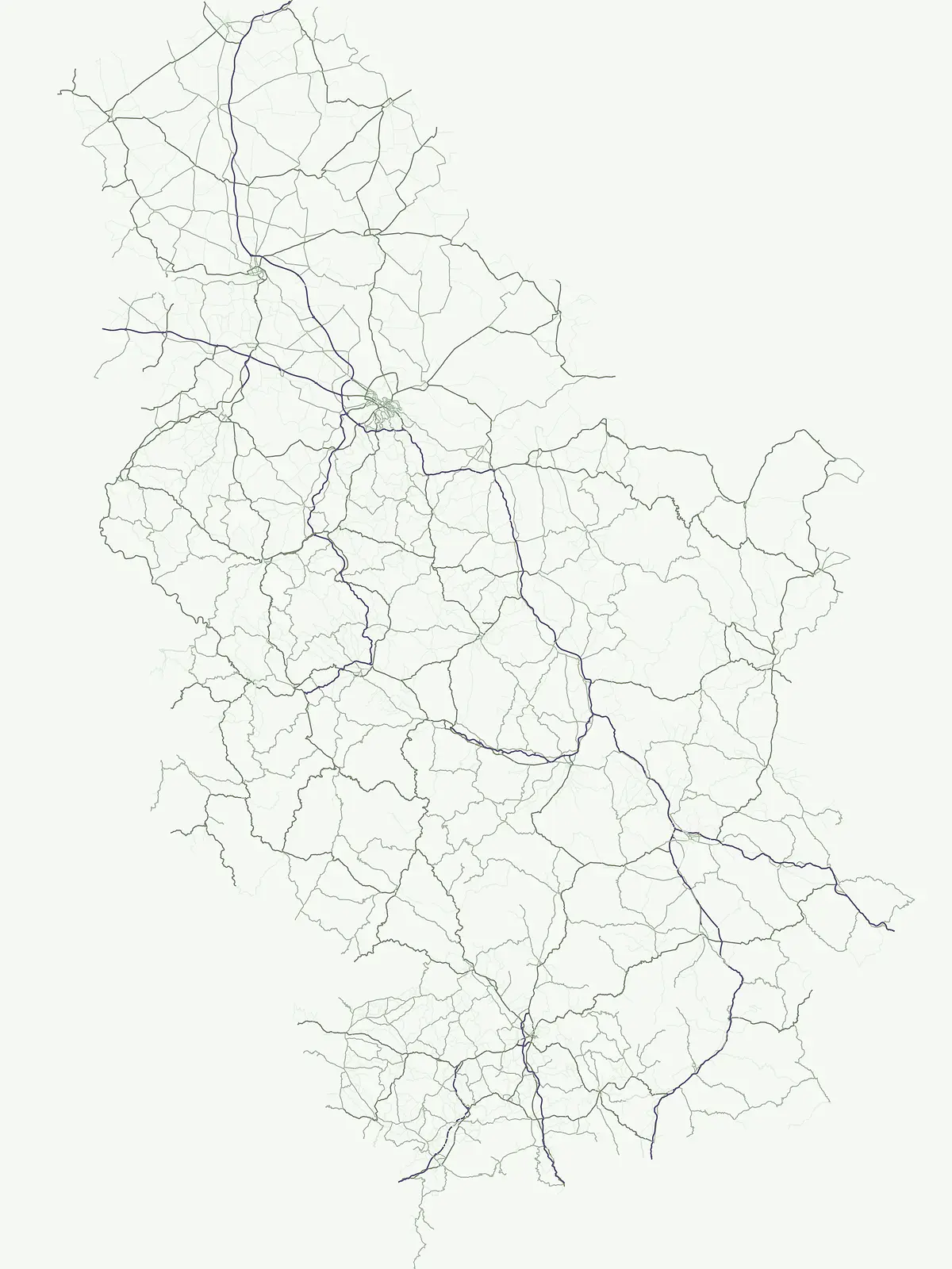
Un recorrido por las cumbres, cañones fluviales y hitos geológicos más notables de los sistemas de parques de los Balcanes
Explora los accidentes geográficos destacados en los paisajes protegidos de Serbia
Atlas hidrológico de cursos de agua protegidos en Serbia
Arroyos
Investigue las redes fluviales específicas preservadas dentro de las fronteras de los parques serbios. Este conjunto de datos organiza entidades individuales de cursos de agua, destacando su geografía de canal única y su conexión con el terreno natural circundante en todo el país.
Mapeo de la conectividad subterránea en las regiones kársticas de Serbia
Entradas de cuevas
Explora un conjunto de datos de ubicaciones mapeadas de entradas de cuevas situadas en Serbia. Estos marcadores geográficos distintivos representan la interfaz crítica entre las superficies exteriores y los vacíos subterráneos, apoyando el análisis de la geología local y la distribución del paisaje en las áreas protegidas de todo el país.
Mapeando macizos y crestas conectados en toda Serbia.
Cordilleras
Analice los sistemas de cadenas montañosas estructurales asociados con las áreas protegidas de Serbia. Esta colección rastrea la distribución espacial de crestas, cuencas y mesetas, ofreciendo una mirada integral al terreno de tierras altas que define la geografía de la nación.
Formas de relieve montañoso mapeadas y elevaciones de cumbres
Cumbres
Acceda a un inventario estructurado de picos nombrados y puntos altos que se encuentran en Serbia. Esta colección proporciona un contexto geográfico claro para las cumbres, documentando sus ubicaciones específicas, datos de elevación y posiciones dentro de sistemas montañosos, crestas y macizos más grandes en todo el país.
Registro geográfico de las características fluviales de Serbia
Ríos
Explora una colección curada de sistemas fluviales a través de Serbia, enfatizando los cursos de agua que definen el terreno natural y los límites ecológicos de las tierras protegidas. Este recurso proporciona una visión geográfica clara de la distribución fluvial, sirviendo como una herramienta primaria para explorar la conectividad hidrológica inherente en las áreas naturales de Serbia.
Mapeo de sistemas hídricos influenciados por el hombre y límites de parques
Embalses
Acceda a una visión estructurada de los embalses ubicados en Serbia, centrándose en su identidad como embalses artificiales en lugar de lagos naturales. Esta colección proporciona un mapeo claro de cómo estas estructuras de control hídrico se alinean con las áreas protegidas regionales e influyen en la topografía local, ofreciendo una mirada precisa a la intersección entre la ingeniería civil y la gestión del paisaje natural.
Estudio geográfico de la distribución de acantilados en Serbia
Acantilados
Descubre un índice estructurado de acantilados nombrados que se encuentran a través de las regiones naturales protegidas de Serbia. Esta colección mapea las características físicas, la orientación del terreno y el contexto geológico de las caras rocosas verticales, proporcionando una visión general clara de estos abruptos cortes del paisaje dentro del territorio nacional.
Análisis geográfico de lagos en áreas protegidas serbias
Lagos
Explore una colección enfocada de lagos interiores y cuerpos de agua estancada que se encuentran en todo el paisaje serbio. Este recurso proporciona datos sobre las formaciones de cuencas naturales, fuentes hidrológicas y el contexto medioambiental de los rasgos hídricos ubicados dentro de los límites de los parques protegidos.
Estudio de accidentes geográficos en áreas protegidas serbias
Penínsulas
Explora las proyecciones de península específicas que definen el terreno de Serbia. Esta colección ofrece un análisis basado en datos sobre cómo estas configuraciones de tierra y agua existen dentro de las áreas protegidas nacionales y los paisajes regionales, proporcionando un marco consistente para el estudio geográfico y la cartografía.
Masas de agua estancada en entornos vinculados a parques
Estanques naturales
Explora una colección precisa de estanques con nombre asociados a parques nacionales y áreas protegidas de Serbia. El índice deja abiertas las características inciertas en lugar de suponer origen o estacionalidad, y conecta cada rasgo disponible con la geografía más amplia del parque registrada en MoriAtlas.
Análisis topográfico de crestas en sistemas montañosos serbios
Collados
Examine un conjunto de datos de características de collados con nombre identificados dentro de áreas protegidas en Serbia. Cada registro detalla la elevación del relieve y su posición relativa entre cumbres más altas, proporcionando una visión clara de la arquitectura de las crestas montañosas y la variada topografía característica de las tierras altas serbias.
Mapeo de puntos de observación en Serbia
Miradores
Explore un conjunto enfocado de ubicaciones de miradores situadas dentro de los parques de Serbia. Esta colección proporciona un contexto geográfico para los sitios de observación, permitiendo el análisis de la orientación del paisaje, las vistas del terreno y la relación espacial entre los miradores designados y las características naturales regionales.
Mapa topográfico de tramos de descenso de ríos protegidos.
Cascadas
Acceda a un inventario detallado de cascadas con nombre situadas en Serbia. Esta colección se centra en los tramos fluviales que descienden abruptamente sobre escalones rocosos verticales o líneas de falla, proporcionando datos geográficos esenciales para comprender el terreno hidrológico regional y la distribución de estos elementos naturales basados en el agua dentro de las áreas protegidas.
Continúe su Exploración Geográfica de las Tierras Protegidas de Serbia
Amplíe su comprensión del patrimonio natural de Serbia explorando su colección completa de parques nacionales y áreas protegidas. Esta página de exploración enfocada en el atlas sirve como su puerta de entrada para descubrir el terreno mapeado, los patrones geográficos regionales y los distintos paisajes protegidos que definen el mapa de conservación del país. Profundice en los detalles de parques específicos o compare las diversas geografías protegidas que ofrece Serbia.