Por qué destaca Monte Vottovaara
El Monte Vottovaara es conocido principalmente por su notable concentración de formaciones de piedra en la meseta, en particular los numerosos cantos rodados redondeados que salpican su paisaje. Estos cúmulos de rocas han atraído interés arqueológico debido a su posible conexión con prácticas de culto Sámi que datan de miles de años. La elevada posición de la montaña la convirtió en un sitio importante para cazadores y pescadores antiguos que ascendían para ofrecer regalos a las piedras sagradas antes de las actividades de temporada. El topónimo en sí tiene un peso cultural, ya que Vottovaara se traduce de la lengua Sámi como Montaña de la Victoria.

Historia de Monte Vottovaara y cronología del área protegida
La historia del monte Vottovaara abarca tanto procesos geológicos que se extienden por cientos de millones de años como la interacción humana que se remonta a milenios. La base geológica se estableció durante el período Jotniano, con depósitos de cuarcita y arenisca posteriormente fracturados por la actividad tectónica. La formación fue moldeada a continuación por procesos glaciares durante el período postglacial. La presencia humana en la región data de la Edad de Piedra, con evidencia arqueológica que sugiere una ocupación continua por parte del pueblo Sami durante aproximadamente 5.000 a 6.000 años. La primera documentación de las formaciones de piedra como posibles estructuras artificiales provino de Sergei Simonyan, un historiador local del asentamiento de Sukkozero, a finales de la década de 1970. Posteriormente, investigaciones arqueológicas a principios de la década de 1990 a cargo de M.M. Shakhnovich e I.S. Manyukhin concluyeron que las piedras servían a un propósito cultual conectado con las prácticas religiosas Sami. En agosto de 2011, el Gobierno de la República de Karelia declaró formalmente el complejo montañoso Vottovaara monumento natural, estableciendo el actual estatus de protección que abarca más de 1.500 hectáreas.
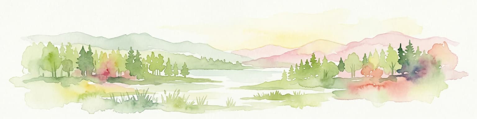
Paisaje y carácter geográfico de Monte Vottovaara
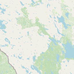
El paisaje físico del Monte Vottovaara está definido por su formación de cresta que se eleva prominentemente sobre el terreno circundante de las Tierras Altas de Carelia Occidental. La montaña alcanza los 417,3 metros en su punto más alto, lo que la convierte en la cumbre más alta de la región. La cresta se extiende aproximadamente 7 kilómetros en dirección sub-meridional, creando una distintiva columna vertebral orientada de norte a sur en el terreno. La superficie está dominada por cuarcitas jotnianas expuestas y areniscas de cuarcita, con el lecho rocoso fracturado por numerosas estructuras de fallas que crean diversas condiciones del terreno. Las áreas de meseta albergan numerosos campos de cantos rodados, siendo la gran mayoría de las piedras cantos rodados glaciares redondeados. En ciertas ubicaciones, rocas más grandes permanecen en posiciones que sugieren una colocación original. El paisaje circundante incluye varios lagos, con el río Votto y los lagos Vottoozero, Vottomuks y Keivotto ubicados en proximidad a la montaña. El terreno más amplio consiste en un típico bosque boreal que cubre las elevaciones más bajas.
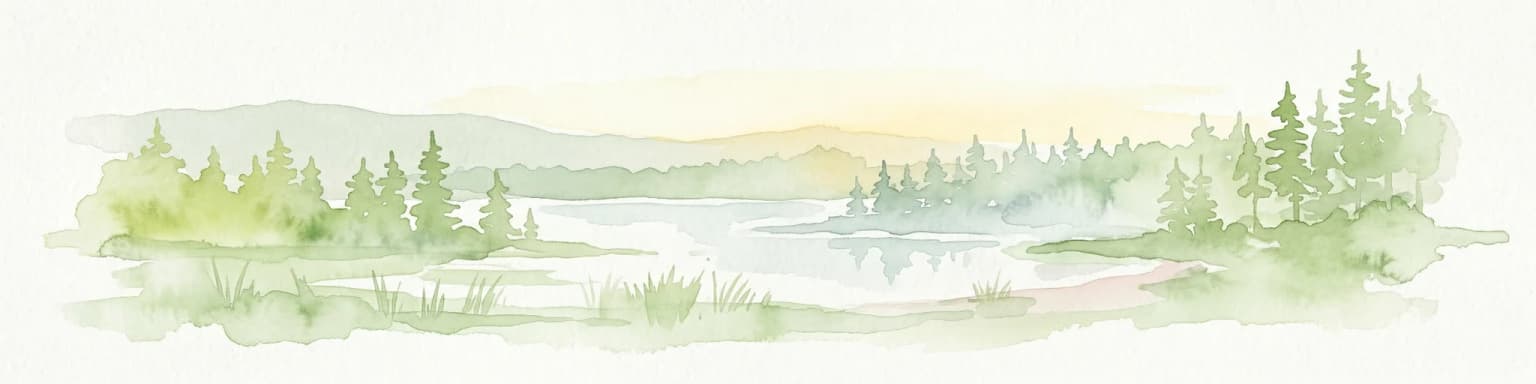
Ecosistemas, hábitats y flora de Monte Vottovaara
El carácter ecológico del Monte Vottovaara refleja su posición dentro de la zona de bosque boreal del norte de Rusia. La vegetación circundante consiste principalmente en especies de bosques de coníferas adaptadas al clima relativamente duro de la región. La propia montaña se eleva por encima de la línea de árboles en sus secciones superiores, exponiendo el lecho rocoso y los campos de cantos rodados que sustentan una vegetación limitada. La importancia ecológica del área se ve realzada por la presencia de numerosos lagos en las cercanías, que proporcionan hábitat para diversas especies acuáticas y contribuyen a la biodiversidad general de la región. La interconexión de bosques, terreno rocoso y cuerpos de agua crea un paisaje diverso que sustenta múltiples tipos de hábitat dentro de un área relativamente limitada.
Vida silvestre y especies destacadas de Monte Vottovaara
El contexto de la fauna en el monte Vottovaara está estrechamente ligado al ecosistema boreal más amplio de Carelia y a la importancia histórica de la región para el pueblo sami. Los relatos históricos indican que el área era significativa para los renos, tanto como especie presente en la región como foco de actividades de caza. La montaña se encuentra en la intersección de las rutas migratorias estacionales de los renos, y la estabilidad y predictibilidad de estas rutas hacían que la zona fuera particularmente importante para las prácticas de caza tradicionales. Los lagos circundantes proporcionaban reservas de peces que sustentaban actividades pesqueras, mientras que el entorno forestal albergaba otras especies típicas de la zona boreal. Las prácticas culturales de los sami, incluida la caza y la pesca, moldearon la relación entre humanos y fauna en este paisaje durante miles de años.