National parkArizona

Grand Canyon National Park
Explore mapped boundaries and regional atlas context.
The Grand Canyon exposes layers of rock across a vast canyon landscape in Arizona.
4,926.08 km²1919AridModerate access

Discover park entries and protected landscapes from a global atlas perspective.
Browse park profiles to find their locations, landscapes, and protection status.
Explore mapped protected landscapes and conservation areas spanning every continent
Browse an extensive global atlas featuring thousands of national parks, nature reserves, and marine protected areas from every continent. This comprehensive listing provides a unified resource for exploring the diverse protected landscapes and conservation efforts worldwide.
Showing 1 to 20 of 7275 parks
Explore mapped boundaries and regional atlas context.
The Grand Canyon exposes layers of rock across a vast canyon landscape in Arizona.
Explore mapped boundaries and regional natural landscape context.
Yellowstone National Park represents a significant protected landscape within Wyoming, designated as a US national park. This entry offers detailed insight into its geographic scope, mapped boundaries, and the unique natural terrain that defines it. Understand its role in regional geography and discover its protected-area identity through a structured atlas exploration, providing context for its conservation landscape.
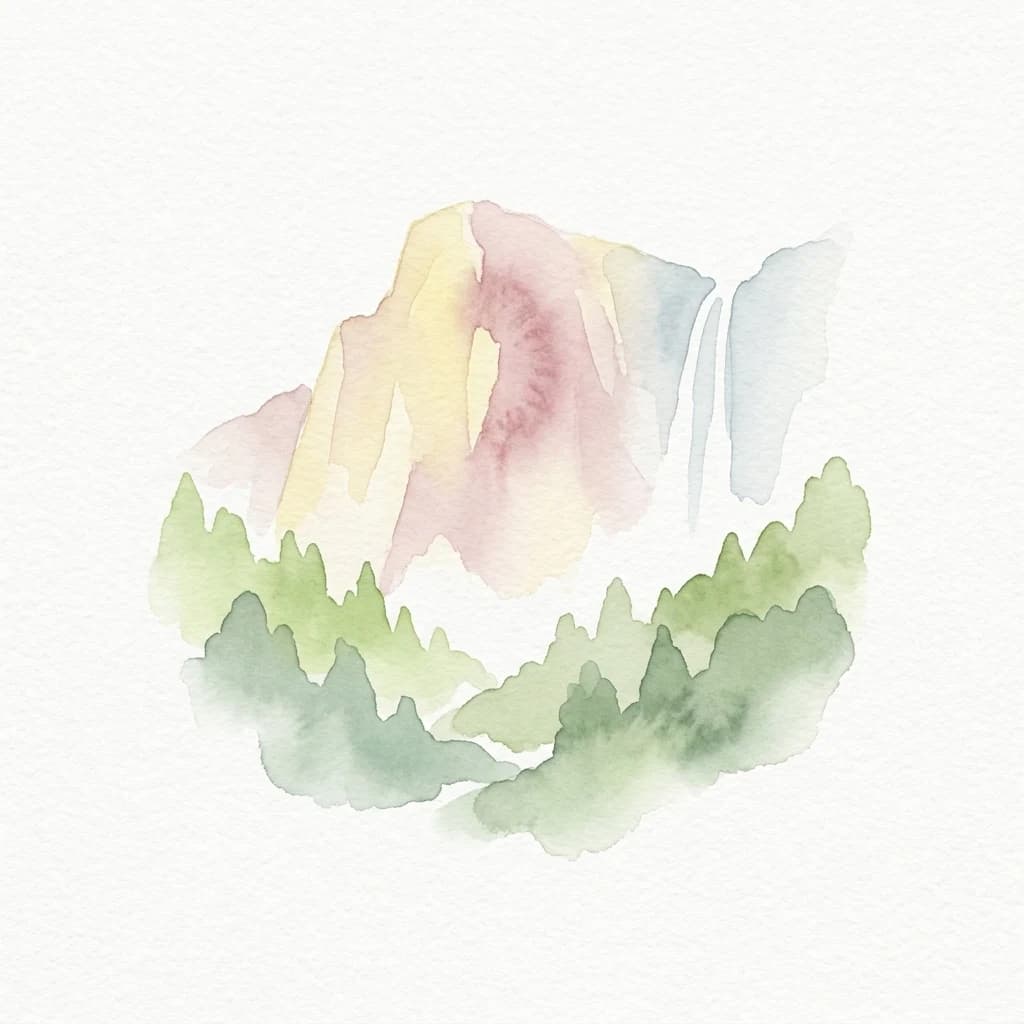
Mapped boundaries and regional setting for a key California national park.
Delve into the protected landscape identity of Yosemite National Park, examining its specific geographic features and its place within the broader atlas of California's natural areas. This entry provides detailed context on its mapped boundaries, regional positioning, and significance as a protected natural site, essential for understanding its landscape and conservation geography.
Explore savanna grasslands, regional geography, and mapped park boundaries.
Serengeti National Park, a significant national park within Tanzania's Mara Region, offers an unparalleled view into a vast protected landscape. This page provides access to the park's geographic identity, its defining savanna ecosystem, and its role as a critical component of the regional atlas. Understand the mapped extent of its protected boundaries and the unique natural context that supports its renowned wildlife.
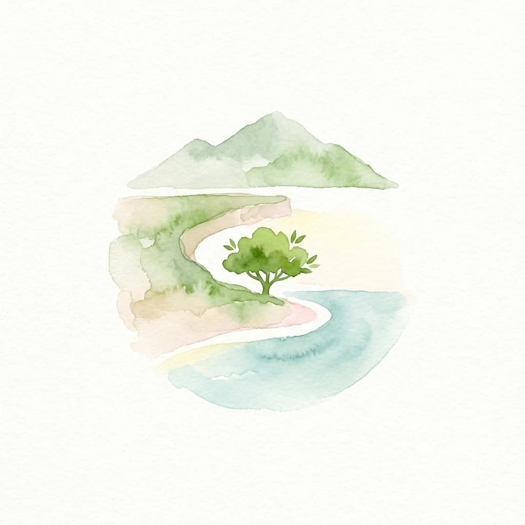
Explore unique endemic species and mapped landscapes of the Galápagos Islands.
Volcanic islands support distinctive wildlife, including giant tortoises, marine iguanas, and flightless cormorants.

Mapped park boundaries and regional geographic context for Banff National Park.
Lake Louise, Moraine Lake, and the Bow Valley lie among the peaks and glaciers of Canada's Rocky Mountains.

Explore savanna landscapes and mapped protected area boundaries.
Savanna, riverine forests, and mopane woodlands in South Africa provide habitat for elephants, lions, leopards, rhinos, and buffalo.

Mapping the protected geology and arid ecosystems of the Red Centre.
Navigate the rugged geography of Uluru-Kata Tjuta National Park, where ancient sandstone monoliths and towering conglomerate domes dominate the horizon. This atlas entry focuses on the park's physical boundaries, regional terrain characteristics, and the vast desert plains that define its protected status in the heart of Australia.

Mapped protected area with cascading lakes and karst geography.
Delve into the protected landscape of Plitvice Lakes National Park, a jewel of Croatia's natural heritage. This atlas entry highlights the park's famous system of 16 terraced lakes and cascading waterfalls, set within a unique karst terrain. Understand the geographic context and mapped boundaries of this significant protected area, renowned for its geological processes and ancient forest ecosystems. Explore the full spectrum of its protected natural identity.

Explore its vast boundaries and unique temperate rainforest.
Glacially carved fiords, including Milford Sound, meet alpine peaks and temperate rainforests in New Zealand's Southland region.
Tennessee's premier national park, mapped for landscape discovery.
Misty mountain forests range from temperate rainforest to high-elevation spruce-fir habitats, supporting diverse plant and animal life.
Explore the mapped terrain and regional context of this Utah national park.
Zion National Park represents a key protected area within Utah, ideal for detailed geographic exploration. This canonical page offers insights into the park's specific mapped boundaries, its inherent landscape character, and its regional geographic setting. It is designed for users seeking to understand the atlas-level significance of Zion National Park as a national park entity, focusing on its protected terrain and natural geography.
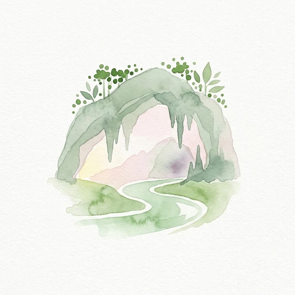

Explore protected landscapes, cave systems, and geological wonders.
Phong Nha, Kẻ Bàng National Park in Vietnam is a globally significant protected landscape, recognized by UNESCO for its exceptional karst topography and extensive cave networks. This national park features dramatic limestone mountains, deep river gorges, and some of the world's most impressive subterranean formations, offering a rich atlas of natural history and geological wonders to explore.
Explore California's protected area atlas.
Gain a structured understanding of Redwood National and State Parks as a protected national park within the geographic context of California. This dedicated page focuses on its mapped boundaries and protected landscape identity, offering critical atlas-level insights for regional geography exploration and conservation land context. Discover how this protected area fits into the larger mapped terrain.
Explore mapped boundaries and the terrain of this California protected area.
Gain a structured understanding of Sequoia National Park as a protected landscape, focusing on its mapped geographic boundaries and its context within California. This entry provides foundational data for exploring the park's natural terrain and its role in a broader atlas of conservation lands, ideal for users seeking detailed geographic information.
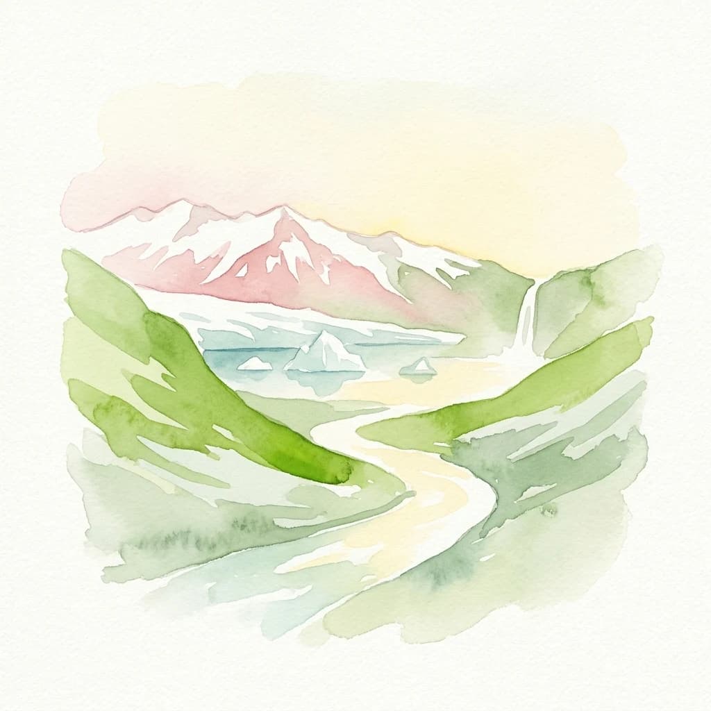

Mapped boundaries of a UNESCO World Heritage site dynamic with fire and ice.
Vatnajökull National Park offers a profound exploration of one of Earth's most dynamic natural environments. This Icelandic national park protects the vast Vatnajökull ice cap, a landscape shaped by active volcanoes and powerful glacial forces, creating a region of extraordinary geographic diversity. Discover the mapped terrain, from subglacial mountain ranges to dramatic caldera systems, and understand the unique protected area context of this significant European natural heritage.
Mapped boundaries and diverse Albertine Rift endemic geography.
Virunga National Park represents a pivotal protected area within the Democratic Republic of the Congo, characterized by an exceptional range of geographic features and vital ecosystems. Its protected landscape includes active volcanoes like Nyiragongo with its lava lake, the towering Rwenzori Mountains, and diverse lowland savannas. This atlas-focused entry highlights the park's unique position in the Albertine Rift, crucial for numerous endemic species and offering significant insight into regional geography and protected land context.
Mapped glacial terrain and mountain peaks in the Canterbury Region.
Aoraki / Mount Cook rises above the Southern Alps alongside extensive icefields and glaciers, including the Tasman Glacier.
Explore mapped protected landscapes and regional context.
Torres del Paine National Park represents a distinct protected landscape within Chile's Magallanes Region, offering valuable insights for geographic discovery and atlas exploration. This national park's mapped boundaries and unique terrain contribute to a comprehensive understanding of its protected status and environmental context. MoriAtlas provides structured data to explore the park's geography, landscape features, and its role as a vital protected natural area for detailed study.
Explore mapped boundaries and regional geography.
The Iguazú River descends through a broad system of waterfalls and steep canyons in Argentina's Misiones Province.
Protected area types
Choose a designation to see its countries and park listings.
Narrow your park search by location, environment, and protection category.