Nature reserve

Crimean Nature Reserve: Nature Reserve with Mountain Forests and Karst Geography
Explore protected area landscapes and terrain.
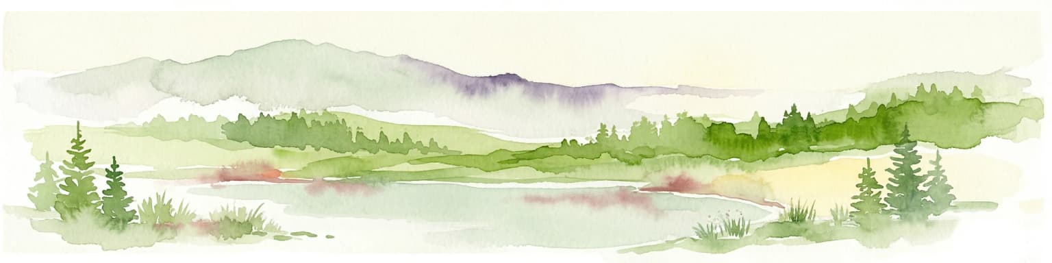
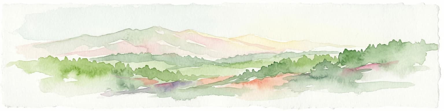
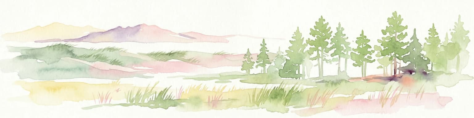
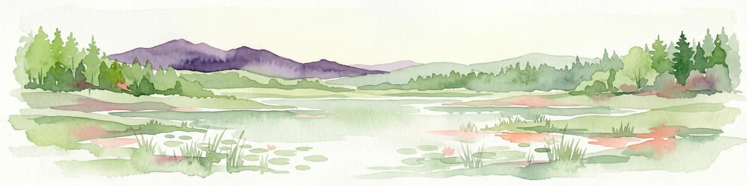
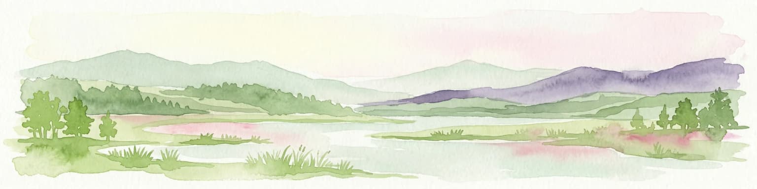
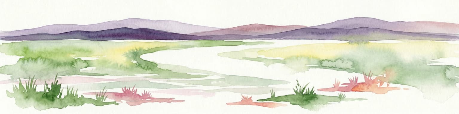
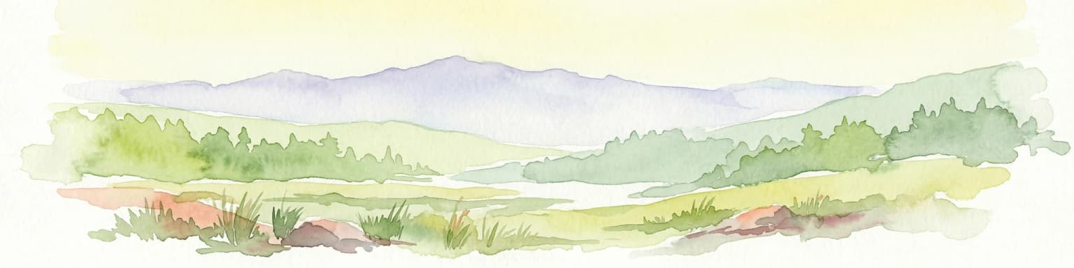
The Crimean Nature Reserve is a key protected area within the Crimean Mountains, recognized for its significant mountain forests and unique karst landscapes. This nature reserve encompasses a critical span of the peninsula's rugged terrain, from high mountain ridges to dramatic southern slopes. Its designation as a protected area highlights its ecological importance and its role in preserving diverse natural habitats and geological features within a regional geographic context, making it a notable destination for landscape exploration.
- Area
- 442 km²
- Established
- 1991
- IUCN
- Ia
- Relief
- Mountain