Mori Atlas logo
Countries

Explore the mapped landscapes and protected natural areas across Romania's diverse geography.

Romania National Parks and Protected Areas: A Geographic Atlas Explorer

MoriAtlas provides a structured geographic entry point for discovering Romania's national parks and protected areas. Navigate Romania's protected lands through a map-aware atlas, focusing on the distribution of natural landscapes and regional park context. Understand the geographic scope of conservation efforts and explore the mapped boundaries of Romania's diverse protected territories.

Romania National Parks and Protected Areas: A Geographic Atlas Explorer
About

Navigate Romania's diverse terrain and extensive protected areas, from Carpathian peaks to Danube wetlands.

Explore National Parks and Protected Areas in Romania: A Geographic Atlas of Conservation Landscapes
Browse a comprehensive atlas of Romania's national parks and protected areas, encompassing diverse ecosystems across its central and southeast European geography. This country-level overview provides essential geographic context for understanding the distribution of Romania's conservation landscapes and navigating individual park entities.

Romania is a unitary semi-presidential republic located in Southeast and Central Europe. It borders Ukraine, Hungary, Serbia, Bulgaria, Moldova, and the Black Sea. The country has a population of approximately 19 million and covers an area of 238,397 km². Bucharest is the capital and largest city. Romania joined the European Union in 2007.

Romania is a country in Southeast and Central Europe, bordered by Ukraine to the north and east, Hungary to the west, Serbia to the southwest, Bulgaria to the south, Moldova to the east, and the Black Sea to the southeast. The country occupies 238,397 km², making it the twelfth-largest country in Europe. With a population of nearly 20 million, it is the sixth-most populous EU member state. Romania has a diverse ethnic composition with Romanians forming the majority, alongside Hungarian and Roma minorities. The official language is Romanian, and the predominant religion is Romanian Orthodoxy.

Largest city:Bucharest
Currency code:RON
ISO code:RO
Parks count
28
Capital
Bucharest
Area
238,397 km²
Population
19,043,815 (2,025)

Coastal
Island
Mountainous
Landlocked
Park atlas28 parks

Browse Romania's Protected Landscapes Through an Atlas-Style Geographic Lens

National Parks and Protected Areas of Romania: A Geographic Explorer
Discover the rich tapestry of national parks and protected areas within Romania. This atlas view allows for a geography-first exploration of Romania's diverse conservation landscapes, from the Carpathian Mountains to the Danube Delta. Understand the regional distribution and interconnectedness of protected territories, facilitating deeper dives into specific natural features and park details.
Protected area

Danube Delta Protected Area: Mapping Europe's Largest River Delta Geography and Wetland Landscape

Explore the mapped protected area, its unique terrain, and regional landscape context.

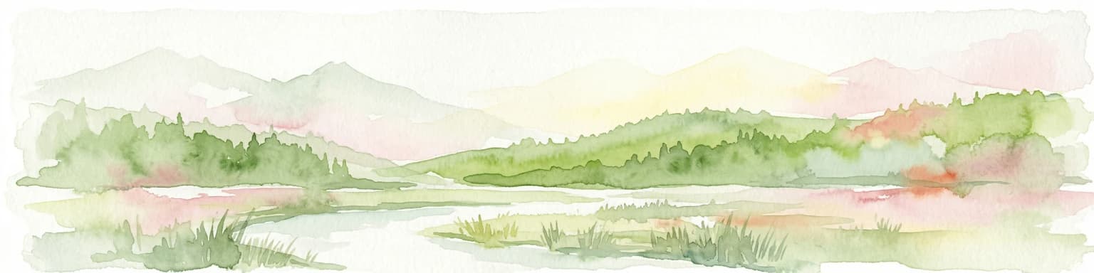
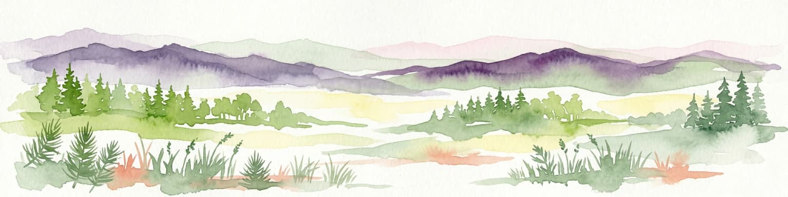
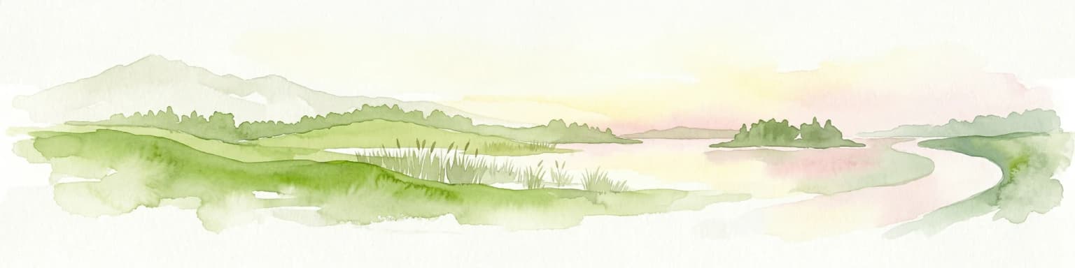
The Danube Delta, a protected area in Romania, presents a remarkable geography defined by its extensive wetland terrain, intricate waterways, and significant biodiversity. As Europe's largest and best-preserved river delta, it offers a unique landscape for atlas-based exploration, focusing on its mapped boundaries, regional geographic context, and its role as a critical ecological zone where the Danube River merges with the Black Sea. Understand the delta's horizontal expanse, its network of channels, and its evolving landforms within a protected landscape of global importance.

Area
4,152 km²
Established
1998
Relief
Lowland
Climate
Temperate
National park

Piatra Craiului National Park: Protected Landscape Atlas and Geographic Context

Explore Romania's unique national park and its mapped terrain.

Navigate the protected geography of Piatra Craiului National Park, a key national park entity. This page details its mapped boundaries and situates its natural landscape within Romania's regional geography, offering a structured point of discovery for geographic atlas enthusiasts. Understand the park's identity as a protected natural area and its contribution to the mapped terrain of the region.

Area
147.66 km²
Established
2000
IUCN
II
Relief
Mountain
Protected landscape

Bucegi Natural Park: Protected Landscape Mapping and Regional Geographic Overview

Explore its mapped boundaries and natural terrain.

As a protected landscape in Romania, Bucegi Natural Park offers a distinct focus for geographic study and atlas exploration. This detail page provides access to its mapped protected boundaries, helping users understand its specific location and regional context. Discover how this natural area contributes to the broader understanding of protected lands within the national geography. MoriAtlas enables a clear view of Bucegi Natural Park's landscape characteristics and its place within a mapped system of natural reserves.

Area
0.327 km²
Established
2000
IUCN
V
Relief
Mountain
Watercolor illustration of a mountain range with forests, a lake, and distant hills under a light sky
National parkHunedoara County

Retezat National Park National Park: Protected Landscape and Regional Geography

Mapped boundaries and landscape context in Hunedoara County.

Retezat National Park is a key protected area featured within MoriAtlas, offering structured geographic data and map-based insights. This national park's protected landscape is situated in Hunedoara County, Romania, contributing significantly to the regional topography and natural context of the Southern Carpathians. Explore its mapped boundaries and understand its role as a distinct natural entity.

Area
380.47 km²
Established
1935
IUCN
II
Relief
Mountain
Watercolor painting showing a landscape with rolling hills, forests, and mountains in soft pastel colors.
Protected landscape

Apuseni Natural Park: Protected Landscape Identity and Geographic Map Exploration

Romania's protected area mapped in its regional geography.

Apuseni Natural Park stands as a protected landscape offering significant value for geographic discovery. This entry provides a detailed look at its protected-area status and mapped landscape context within Romania. Users can explore its boundaries, understand its relation to surrounding terrain, and utilize this information for a structured atlas-based approach to natural landscape research.

Area
757.84 km²
Established
1990
IUCN
V
Relief
Mountain
Watercolor illustration of a river flowing through a valley with mountains in the background
Protected landscapeRomania

Iron Gates Natural Park: Explore Romania's Protected Landscape and Geographic Context

Detailed atlas view of a protected landscape in Romania.

Uncover the geographic dimensions of Iron Gates Natural Park, a protected landscape situated in Romania. This detailed entry offers an atlas-centric exploration of its mapped boundaries and regional setting, facilitating a deeper understanding of its protected status and landscape features within the national geography. Discover the park's intrinsic value through structured geographic data and visual map context.

Area
1,156.66 km²
Established
2000
Relief
Mixed relief
Climate
Mediterranean
National park

Cheile Bicazului-Hășmaș National Park: Protected Area Geography and Mapped Landscape Identity

Discover Romania's National Park mapped boundaries and regional context.

Cheile Bicazului-Hășmaș National Park represents a vital component of Romania's protected natural areas, offering rich geographic detail for atlas enthusiasts. This national park's mapped landscape and defined protected boundaries provide essential context for understanding regional geography and conservation efforts. Explore the specific identity of this protected terrain and its significance within the broader Romanian atlas.

Area
65.75 km²
Relief
Mountain
Scope
Mixed
Water
Minor water
National park

Domogled-Valea Cernei National Park: National Park with Mapped Protected Landscape

Explore its protected boundaries and regional geography.

Domogled-Valea Cernei National Park is recognized as a National Park, offering a distinct protected landscape for atlas-based discovery. This page provides focused insights into its mapped geographic extent and the character of its natural terrain. Understand the park's role within Romania's protected areas network and its unique geographic identity. Utilize this structured view to navigate the park's features and its surrounding landscape context for informed exploration.

Area
612.11 km²
Established
2000
IUCN
II
Relief
Mountain
National parkRomania

Nera Gorge-Beușnița National Park: Karst Landscape and Protected Area in Romania

Explore the mapped geography of this protected Romanian landscape.

Nera Gorge-Beușnița National Park offers a detailed view of a protected karst canyon, featuring the Nera River's dramatic gorge and the picturesque Beușnița waterfalls. This protected area in Romania provides valuable context for understanding karst terrain, subterranean systems, and the geographic distribution of protected lands within the Balkan region. Users can explore its distinct landscape features and their place within Romania's atlas of natural protected areas.

Relief
Mountain
Water
Major water bodies
National park

Călimani National Park: Romania's Premier National Park Protected Landscape

Explore mapped boundaries and regional geographic context.

Uncover the geographic identity of Călimani National Park, a designated national park in Romania. This resource offers detailed insights into its protected landscape, mapped terrain, and surrounding natural context. Navigate through its specific park boundaries and understand how it fits into the wider regional geography, providing a clear atlas-style overview for dedicated discovery.

Area
240.41 km²
Established
2000
IUCN
II
Relief
Mountain
Watercolor illustration of a mountainous landscape with rolling hills, a river, and green vegetation
Protected landscapeMaramureș County

Maramureș Mountains Natural Park: Protected Landscape and Carpathian Geography

Explore the mapped boundaries and dramatic terrain of Romania's largest nature park.

Delve into the Maramureș Mountains Natural Park, a protected landscape covering extensive tracts of the northern Carpathian Mountains. This page provides detailed geographic context, showcasing the park's mapped boundaries, diverse alpine terrain, and its role within the broader regional geography of Maramureș County. Understand the natural features and protected area significance of this expansive Carpathian wilderness for structured atlas exploration.

Area
1,488.5 km²
Established
2004
IUCN
V
Relief
Mountain
Watercolor painting showing mountains, green fields, and trees in a landscape
Protected areaTulcea County

Măcin Mountains Protected Area: Geographic Atlas and Landscape Context

Explore mapped boundaries and regional geography

Delve into the Măcin Mountains, a protected area located in Tulcea County. This detailed entry provides essential geographic information, focusing on its mapped boundaries and the surrounding natural landscape. MoriAtlas offers a structured approach to understanding this protected land's position within the regional geography, empowering users to explore its unique characteristics through a lens of atlas-driven discovery and conservation context.

Area
113.21 km²
Relief
Mountain
Climate
Temperate
Scope
Terrestrial
Landscape and environment

Understand how Romania is shaped by terrain, ecosystems, and seasonal conditions

Romania geography, nature, climate, and landscape context for park-focused travel research
Explore the physical geography, natural setting, and climate patterns of Romania through a location-first overview built for travel research, national park discovery, and broader regional context. This section helps explain how landscapes, habitats, and environmental conditions shape what people search for, where they travel, and how they experience protected areas in Romania.

Romania geography and landscape

Romania lies on the lower course of the Danube River, north of the Balkan Peninsula, and on the northwestern shore of the Black Sea. The terrain is varied, featuring the Carpathian Mountains in the center, the Transylvanian Plateau, the Moldavian Plateau, and plains along the Danube and in the south. The country has a diverse landscape that includes forests, meadows, and wetland areas.

Romania nature and environment

Romania's natural environment includes the Carpathian Mountains which host diverse ecosystems and protected areas. The Danube Delta in the southeast is a UNESCO Biosphere Reserve and important wetland habitat. The country has several national parks preserving its natural landscapes and biodiversity.

Romania climate and seasonal conditions

Romania has a temperate-continental climate with distinct seasons. Summers are warm and winters are cold, with regional variations depending on altitude and proximity to the Black Sea.

Explore this place

Related topics and popular queries

Ways to explore Romania
Useful phrases, related topics, and discovery prompts connected to Romania.
where is romaniaromania country informationbucharest romaniaromania geography and natureromania population and demographicsromania EU membershipromania travel guidecarpathian mountains romaniaromania countrysoutheast europecentral europebucharestromania eu memberromania geographydanube delta romaniaromania populationromania capital
Park map

View the geographic distribution of Romania's protected landscapes and major national parks across its diverse terrain.

Explore the National Parks Map of Romania, Discovering Protected Area Locations
Preview the spatial layout of Romania's national parks and other significant protected areas across its varied geography, from the Carpathian Mountains to the Danube Delta. This country-level map provides a comprehensive atlas perspective for understanding conservation landscapes and planning deeper geographic exploration.

Explore common questions regarding Romania's diverse protected landscapes, including park distribution and geographic context across its regions.

Frequently Asked Questions About National Parks in Romania: Discovering Protected Areas and Geography
Browse insights into Romania's national parks and extensive protected areas, covering their geographic spread, conservation status, and regional significance within the Carpathian Mountains and Danube Delta. These frequently asked questions offer a foundational understanding of Romania's natural heritage, aiding in atlas-style discovery and exploration of its unique conservation landscapes.
Other countries

Explore Diverse Protected Landscapes Across Central and Southeast Europe, comparing adjacent country park geographies.

Discover National Parks and Protected Areas Beyond Romania's Borders
After exploring Romania's protected areas, delve into national parks and conservation landscapes across neighboring countries like Ukraine, Hungary, Serbia, Bulgaria, and Moldova. This extensive country-level atlas view provides crucial geographic context for comparing diverse protected ecosystems and understanding regional conservation efforts.

Ukraine National Parks and Protected Areas: Browse Mapped Landscapes

MoriAtlas facilitates a detailed geographic exploration of Ukraine's national parks and protected areas. This destination provides a structured overview of the country's conservation landscapes, allowing users to visually grasp their distribution and regional context. Understand the breadth of Ukraine's natural heritage through an atlas lens, supporting discovery of its unique geography and protected territories.

49 parks

Slovakia National Parks and Protected Areas: Mapped Geographic Exploration

Delve into the structured atlas of Slovakia's national parks and protected areas. This page offers a geographically organized perspective, highlighting the distribution of protected lands and natural landscapes across the country. Understand the regional context and mapped boundaries of Slovakia's significant natural territories, providing a foundation for detailed geographic discovery and comparative exploration.

10 parks

Serbia National Parks and Protected Areas: Mapped Landscape Exploration

Discover the protected areas and national parks within Serbia through a structured geographic atlas interface. MoriAtlas details the mapped landscapes and regional natural terrain, allowing users to explore the full scope of conservation efforts across the country. Understand how protected lands are situated within the broader Serbian geography, facilitating a deeper, map-aware approach to natural landscape discovery.

9 parks

Hungary's National Parks and Protected Areas: A Mapped Geographic Overview

Navigate Hungary's protected natural areas through a structured geographic lens. MoriAtlas visualizes national parks and conservation landscapes, enabling users to understand their distribution across the Carpathian Basin. Discover key protected territories and their regional context for a comprehensive atlas-based exploration of Hungary's natural heritage.

8 parks

Bulgaria National Parks and Protected Areas: Mapped Geographic Context

Access a structured overview of Bulgaria's national parks and protected areas. This atlas-focused resource highlights geographic distributions and mapped boundaries, enabling comprehensive discovery of the country's diverse natural terrain and conservation landscapes.

4 parks

Bosnia and Herzegovina: National Parks and Protected Lands Map Overview

Delve into the protected natural areas of Bosnia and Herzegovina, a key Balkan country. This resource provides a structured view of national parks and other conservation landscapes, emphasizing their geographic distribution and regional context. Understand the mapped boundaries and terrain of these important natural territories, offering a comprehensive atlas-style exploration for geographic understanding.

3 parks

North Macedonia National Parks and Protected Areas: Geographic Atlas Overview

Navigate the protected natural areas of North Macedonia through a structured geographic lens. This atlas view highlights the distribution and mapped boundaries of the country's national parks and significant protected lands. Understand the landscape context and regional significance of these conserved territories, essential for any map-based exploration of North Macedonia's natural heritage.

2 parks

Moldova National Parks and Protected Areas: Mapped Geographic Context and Distribution

MoriAtlas provides a comprehensive atlas view of Moldova's protected areas and national parks. Delve into the geographic structure, understand the distribution of natural reserves, and examine the landscape context for each protected region within the country. This resource enables detailed map-based discovery and a structured understanding of Moldova's natural heritage.

1 park
MoriAtlas Explorer

Continue Your Global Geographic Exploration with MoriAtlas Park Discovery

Dive deeper into the world's protected landscapes and national parks through MoriAtlas's structured atlas interface. Discover how continents and countries are organized, and how individual park geography fits into the broader map. Our platform is built for understanding the distribution and context of protected areas worldwide, facilitating your journey through global natural geography.

Global natural geography