Mori Atlas logo
Countries

Browse mapped landscapes and discover the geographic distribution of protected areas across Bosnia and Herzegovina.

Bosnia and Herzegovina National Parks and Protected Areas: An Atlas for Geographic Discovery

Bosnia and Herzegovina presents a diverse geography for protected area exploration, from the mountainous Dinaric Alps to its Adriatic coastline. This atlas serves as a structured entry point to understand the mapped boundaries and geographic context of national parks and conservation lands throughout the country. Navigate regional terrain and discover the full scope of protected landscapes available for geographic study.

Bosnia and Herzegovina National Parks and Protected Areas: An Atlas for Geographic Discovery
About

Explore the Mapped Geography of Protected Landscapes, from Dinaric Alps to the Adriatic Coast

Discover National Parks and Protected Areas Across Bosnia and Herzegovina's Diverse Landscapes
MoriAtlas provides a geographic entry point to national parks and protected areas within Bosnia and Herzegovina. Explore the country's diverse conservation landscapes, from the mountainous Dinaric Alps to its Adriatic coastline, through an atlas designed for park discovery. This overview helps users navigate the regional distribution and key features of protected terrain across the Balkan Peninsula.

Bosnia and Herzegovina is a federal parliamentary republic in Southeast Europe on the Balkan Peninsula. It borders Serbia, Montenegro, and Croatia, with a 20-kilometre coastline on the Adriatic Sea. The country has a population of approximately 2.9 million and features diverse geography ranging from mountainous Dinaric Alps in the north to Mediterranean climate in the southern Herzegovina region. Sarajevo serves as the capital and largest city.

Bosnia and Herzegovina is a country in Southeast Europe situated on the Balkan Peninsula. It borders Serbia to the east, Montenegro to the southeast, and Croatia to the north and southwest, with a small Adriatic coast in the south. The country has a diverse religious population with a Muslim majority and significant Christian communities. Its political system is a federal parliamentary directorial republic with a three-member presidency. The economy operates using the convertible mark as currency, with a GDP per capita of around $10,500.

Largest city:Sarajevo
Currency code:BAM
ISO code:BA
Parks count
3
Capital
Sarajevo
Area
51,209 km²
Population
2,904,256 (2,023)

Coastal
Island
Mountainous
Landlocked
Park atlas3 parks

Discover the Mapped Geography and Protected Landscapes Across Bosnia and Herzegovina

National Parks and Protected Areas of Bosnia and Herzegovina: An Atlas Explorer
Explore the diverse protected areas and national parks within Bosnia and Herzegovina. This atlas view provides a structured gateway to understanding the country's conservation landscapes, from the mountainous terrain of the Dinaric Alps to its coastal regions. Utilize this geographic context to navigate deeper into specific park details and conservation efforts across the Balkan Peninsula.
Watercolor illustration of mountain ranges, a lake, and forested hills in soft pastel colors
National park

Sutjeska National Park: Bosnia and Herzegovina's Oldest National Park and Primeval Forest Reserve

Explore the mapped geography and protected landscape of this vital Balkan natural area.

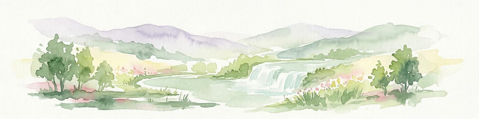
Sutjeska National Park, Bosnia and Herzegovina's inaugural national park, protects a dramatic mountainous region defined by primeval forests and its highest peak, Maglić. As a strict nature reserve, Perućica's ancient trees represent a rare ecological treasure within the Balkan landscape. This page offers a detailed look at the park's protected boundaries, its diverse natural terrain, and its significant geographic setting for atlas exploration.

Area
160.52 km²
Established
1962
IUCN
II
Relief
Mountain
Watercolor painting showing a river canyon with mountains in the background and green vegetation in the foreground
National park

Drina National Park: Bosnia and Herzegovina's Protected Canyon and Endemic Ecosystem

Explore mapped geography and natural landscapes in this Balkan national park.

Drina National Park is a protected area in eastern Bosnia and Herzegovina, celebrated for its striking Drina River canyon landscape. As a national park, it preserves vital habitats for endemic species such as the Serbian spruce and provides a crucial geographic anchor for regional conservation. Its deep gorges and steep slopes offer a rich context for understanding the natural terrain and mapped boundaries within the broader Balkan geography.

Area
63.15 km²
Established
2017
IUCN
II
Relief
Mountain
National park

Kozara National Park: Bosnia and Herzegovina's Distinctive Forested Mountain Landscape

Mapped protected area in the Pannonian Plain's highland oasis.

Kozara National Park represents a significant protected natural area within Bosnia and Herzegovina, distinguished by its rounded, forested peaks that ascend from the surrounding Pannonian lowlands. This national park offers a unique landscape characterized by dense deciduous and mixed forests, interspersed with clearings and meadows, covering a considerable portion of its 39 square kilometer area. The park's geographic identity is further defined by its proximity to major rivers like the Una, Sava, Sana, and Vrbas, which delineate its natural boundaries and contribute to its distinct regional context. For atlas-based discovery, Kozara provides insight into how isolated highlands create unique protected landscapes within flatter terrain.

Area
39.08 km²
Established
1967
IUCN
II
Relief
Upland
Landscape and environment

Understand how Bosnia and Herzegovina is shaped by terrain, ecosystems, and seasonal conditions

Bosnia and Herzegovina geography, nature, climate, and landscape context for park-focused travel research
Explore the physical geography, natural setting, and climate patterns of Bosnia and Herzegovina through a location-first overview built for travel research, national park discovery, and broader regional context. This section helps explain how landscapes, habitats, and environmental conditions shape what people search for, where they travel, and how they experience protected areas in Bosnia and Herzegovina.

Bosnia and Herzegovina geography and landscape

Bosnia and Herzegovina occupies the central and eastern parts of the Balkan Peninsula. The country is largely mountainous, dominated by the Dinaric Alps in the central and eastern regions. Bosnia occupies the northern and central areas, while Herzegovina covers the southern region. The country has a small coastline along the Adriatic Sea, approximately 20 kilometres long, near the town of Neum.

Bosnia and Herzegovina nature and environment

The country's mountainous terrain features extensive forests, particularly in the Dinaric Alps region. The landscape includes numerous rivers, valleys, and karst formations. The coastal area around Neum provides access to the Adriatic Sea ecosystem.

Bosnia and Herzegovina climate and seasonal conditions

Bosnia has a moderate continental climate with hot summers and cold, snowy winters. Herzegovina in the south experiences a Mediterranean climate. The country sits in the CET time zone (UTC+01) and observes daylight saving time.

Explore this place

Related topics and popular queries

Ways to explore Bosnia and Herzegovina
Useful phrases, related topics, and discovery prompts connected to Bosnia and Herzegovina.
bosnia and herzegovina locationbosnia herzegovina capital citywhere is bosnia on a mapbosnia and herzegovina populationbalkans country bosnia herzegovinabosnia geography and climatebosnia and herzegovina countrybosnia balkansherzegovina balkan statebosnia southeastern europesarajevo capitalbalkan peninsula countryadriatic sea country
Park map

Visualize the Geographic Distribution of Protected Landscapes Across Bosnia and Herzegovina

National Parks Map of Bosnia and Herzegovina: Explore Protected Area Geography
Explore a geographic overview of national parks and protected areas across Bosnia and Herzegovina on this interactive map preview. This country-level atlas view helps users understand the spatial distribution and regional context of conservation landscapes within the Dinaric Alps and along the Adriatic coast, facilitating deeper exploration.

Explore common questions regarding Bosnia and Herzegovina's park geography and protected landscapes.

Frequently Asked Questions About National Parks and Protected Areas in Bosnia and Herzegovina
Discover essential insights into Bosnia and Herzegovina's national parks and diverse protected areas, spanning from the mountainous Dinaric Alps to its short Adriatic coastline. These frequently asked questions offer a comprehensive understanding of the country's conservation landscapes, park distribution, and unique natural heritage within its varied geography.
Other countries

Navigate the Balkan Peninsula and Southeast Europe through a broader atlas of protected areas.

Discover National Parks in Countries Beyond Bosnia and Herzegovina: A Geographic Park Atlas
From Bosnia and Herzegovina, browse national parks and significant protected areas across neighboring Balkan countries and the wider European continent. This geographic index helps you compare conservation landscapes, understand regional terrain variations, and explore distinct park geographies in a structured atlas view.

Italy's National Parks and Protected Areas: A Geographic Atlas Overview

MoriAtlas offers a detailed geographic perspective on Italy's network of national parks and protected areas. Explore the mapped boundaries, understand the distribution of these vital conservation regions, and navigate through the country's diverse natural terrain. This atlas interface empowers discovery of Italy's significant protected lands, providing context for their place within the broader European geography.

25 parks

Albania National Parks and Protected Areas: A Geographic Atlas Exploration

Access a structured overview of Albania's national parks and protected areas. This resource facilitates exploration of the geographic distribution and mapped boundaries of its natural landscapes, offering an atlas-based perspective on the country's conservation efforts and regional terrain.

12 parks

Croatia National Parks and Protected Areas: Geographic Atlas Explorer

MoriAtlas provides a geographic atlas for exploring Croatia's national parks and protected areas. Navigate the mapped boundaries and understand the distribution of protected lands throughout the country. This resource focuses on the structured discovery of natural landscapes and regional geography, offering a clear overview for understanding conservation areas within Croatia's diverse terrain.

11 parks

Serbia National Parks and Protected Areas: Mapped Landscape Exploration

Discover the protected areas and national parks within Serbia through a structured geographic atlas interface. MoriAtlas details the mapped landscapes and regional natural terrain, allowing users to explore the full scope of conservation efforts across the country. Understand how protected lands are situated within the broader Serbian geography, facilitating a deeper, map-aware approach to natural landscape discovery.

9 parks

Hungary's National Parks and Protected Areas: A Mapped Geographic Overview

Navigate Hungary's protected natural areas through a structured geographic lens. MoriAtlas visualizes national parks and conservation landscapes, enabling users to understand their distribution across the Carpathian Basin. Discover key protected territories and their regional context for a comprehensive atlas-based exploration of Hungary's natural heritage.

8 parks

Austria National Parks and Protected Areas: Geographic Atlas and Landscape Exploration

Navigate Austria's protected natural areas with a focus on geographic discovery. This atlas view highlights the distribution of national parks and significant protected landscapes, offering insights into regional terrain and mapped park boundaries for structured exploration.

6 parks

Explore Slovenia's National Parks and Protected Areas: A Geographic Overview

This entry point to Slovenia's protected natural areas allows for structured geographic exploration. Understand the placement and scope of national parks and other designated lands across the country, using MoriAtlas to visualize their mapped boundaries and regional context. It serves as a comprehensive atlas for discovering Slovenia's diverse natural terrain and conservation efforts.

2 parks

North Macedonia National Parks and Protected Areas: Geographic Atlas Overview

Navigate the protected natural areas of North Macedonia through a structured geographic lens. This atlas view highlights the distribution and mapped boundaries of the country's national parks and significant protected lands. Understand the landscape context and regional significance of these conserved territories, essential for any map-based exploration of North Macedonia's natural heritage.

2 parks
MoriAtlas Explorer

Continue Your Global Geographic Exploration with MoriAtlas Park Discovery

Dive deeper into the world's protected landscapes and national parks through MoriAtlas's structured atlas interface. Discover how continents and countries are organized, and how individual park geography fits into the broader map. Our platform is built for understanding the distribution and context of protected areas worldwide, facilitating your journey through global natural geography.

Global natural geography