Mori Atlas logo
Countries

Browse the mapped geographic distribution of protected lands and natural landscapes.

Albania National Parks and Protected Areas: An Atlas for Geographic Discovery

Explore Albania's diverse protected natural areas through a structured geographic lens. This atlas-style entry point provides insight into the mapped boundaries and regional context of national parks and conservation landscapes across the country. Understand the country's protected lands, from the Adriatic coast to mountainous terrains, as a foundation for detailed geographic exploration.

Albania National Parks and Protected Areas: An Atlas for Geographic Discovery
About

Discover the mapped spread of Albania's protected landscapes and conservation territories.

Albania National Parks and Protected Areas: A Geographic Atlas Explorer
Explore Albania's diverse protected areas and national parks through an atlas-driven perspective. This country entry point provides a structured overview of its conservation landscapes, from the Albanian Alps to its coastal regions, enabling discovery of its unique geographic distribution. Use this view to navigate the country's mapped terrain and understand the regional spread of its protected natural heritage.

Albania is a unitary parliamentary republic in Southeast Europe, situated on the Balkan Peninsula along the Adriatic and Ionian coastal regions. With a population of approximately 2.4 million people, it borders Montenegro, Kosovo, North Macedonia, and Greece. The country features varied landscapes ranging from the Albanian Alps to fertile coastal plains, with Tirana as its capital and largest city.

Albania, officially the Republic of Albania, is a country in Southeast Europe occupying a strategic position on the Balkan Peninsula. It encompasses a coastline along the Adriatic and Ionian Seas of the Mediterranean Sea, sharing borders with Montenegro to the northwest, Kosovo to the northeast, North Macedonia to the east, and Greece to the south. The nation has a rich historical heritage dating back to Illyrian tribes and Greek colonial settlements, later becoming part of the Roman and Byzantine Empires. Modern Albania is a parliamentary republic with a diverse population predominantly of Albanian ethnicity.

Largest city:Tirana
Currency code:ALL
ISO code:AL
Parks count
12
Capital
Tirana
Area
28,748 km²
Population
2,402,113 (2,023)

Coastal
Island
Mountainous
Landlocked
Park atlas12 parks

Explore Albania's Diverse Protected Landscapes and Mapped Natural Territories

National Parks and Protected Areas in Albania: A Comprehensive Geographic Atlas
Discover the breadth of Albania's national parks and protected areas through an organized atlas view. This section provides a structured entry point to Albania's significant natural reserves, from its mountainous terrain to its coastal conservation zones. Utilize this geography-first approach to navigate detailed park information and understand the protected landscape distribution across Southeast Europe.
Watercolor painting showing a river valley with mountain ranges in the background and green fields
National parkGjirokastër County

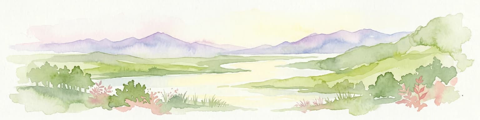
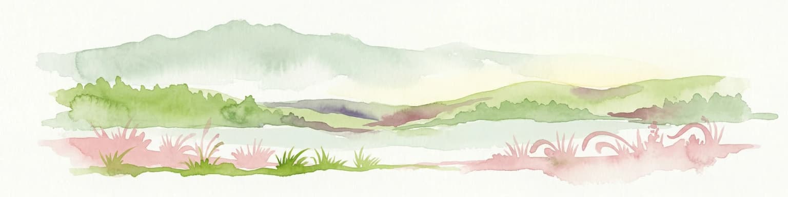
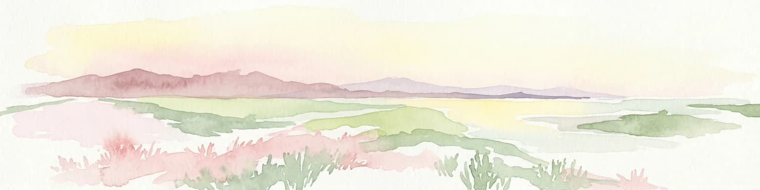
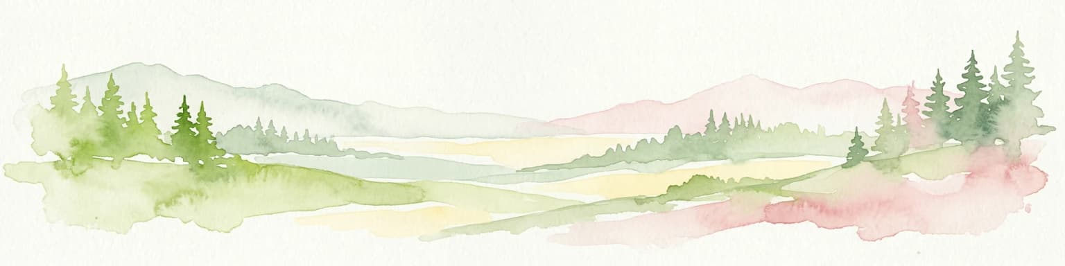
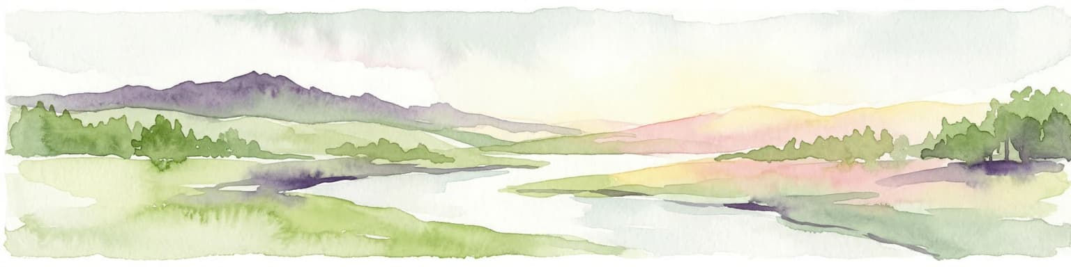
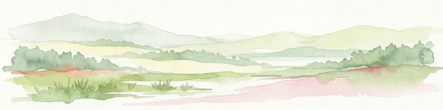
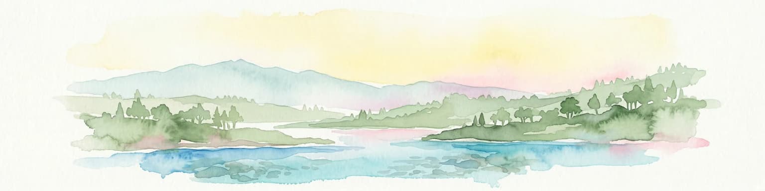
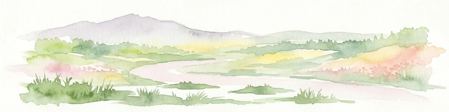
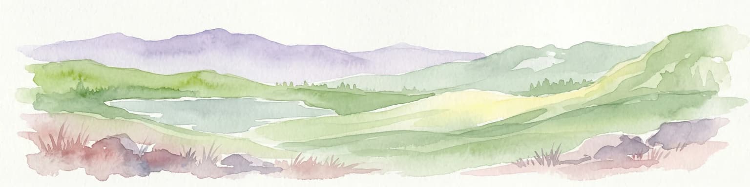
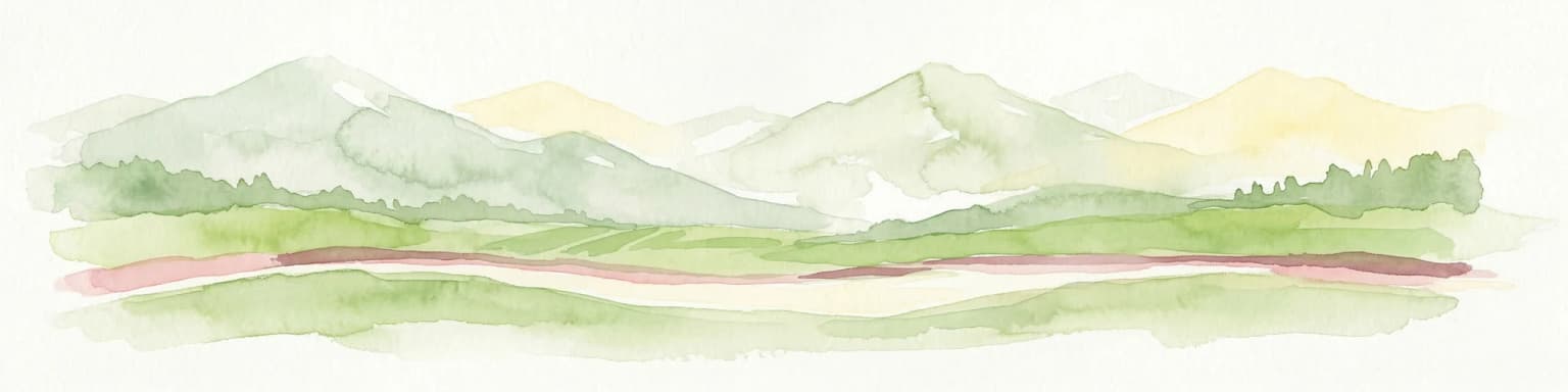
Vjosa Wild River National Park: Europe's Pioneer Free-Flowing River Protected Area

Mapping dynamic canyons and vital river ecosystems in Gjirokastër County.

Vjosa Wild River National Park is recognized as Europe's first Wild River National Park, a groundbreaking designation protecting an entire river system from source to sea. This protected area in Gjirokastër County preserves remarkable topography, including dramatic canyons, natural rapids, and meandering islands, all shaped by the free flow of the Vjosa River and its tributaries. Explore the mapped boundaries and unique landscape context of this significant biodiversity hotspot, offering a crucial case study for river conservation and atlas discovery.

Area
127.27 km²
Established
2023
IUCN
II
Relief
Mixed relief
Watercolor landscape painting showing a lake, distant mountains, and vegetation
National parkVlorë County

Butrint National Park: Archaeological Heritage and Mediterranean Wetland Landscape

Explore its unique geography and protected park boundaries.

Butrint National Park presents a singular opportunity for geographic and protected-area discovery, showcasing an unparalleled fusion of ancient history and ecological richness. Located in Albania's Vlorë County, this national park encompasses Lake Butrint, coastal lagoons, and vital wetland habitats, recognized internationally for their biodiversity. Through MoriAtlas, users can explore the mapped extent of this unique landscape, understand its role within regional geography, and uncover the interplay between its preserved archaeological sites and the surrounding Mediterranean environment.

Area
94.244 km²
Established
2000
IUCN
II
Relief
Lowland
Watercolor painting showing a mountainous landscape with a lake, green hills, and pink flowers
National park

Alps of Albania National Park: Explore Albania's Largest Protected Alpine Wilderness

Dramatic karst, glacial valleys, and high-altitude ecosystems await.

The Alps of Albania National Park offers an expansive view into one of the Balkans' most significant mountain protected areas. This national park encompasses a spectacular landscape characterized by towering limestone peaks, deep glacial valleys carved over millennia, and intricate karst formations like Grunas Canyon. Its pristine wilderness protects diverse high-altitude ecosystems and unique geological features, serving as a key destination for understanding regional geography and protected landscapes.

Area
828.447 km²
Established
2022
IUCN
II
Relief
Mountain
Watercolor painting showing hills, green fields, a body of water, and vegetation under a soft sky
National park

Divjakë-Karavasta National Park: Albania's Expansive Coastal Wetland and Pelican Breeding Site

Mapping Albania's largest Mediterranean lagoon and its vital bird sanctuaries.

Divjakë-Karavasta National Park is a key protected coastal wetland in western Albania, centered around Karavasta Lagoon, one of the largest in the Mediterranean. This Ramsar site provides critical habitats for numerous bird species, including a globally significant population of the endangered Dalmatian pelican, making it a premier destination for understanding regional wetland geography and protected area dynamics.

Area
222.3 km²
Established
2007
IUCN
II
Relief
Lowland
National parkVlorë County

Llogara National Park: Vlorë County's Dramatic Ceraunian Mountain Protected Landscape

Explore Albania's rugged national park geography and mapped terrain.

Llogara National Park stands as a vital protected area within Vlorë County, Albania, renowned for its spectacular Ceraunian Mountain topography. This page provides access to detailed geographic information, highlighting the park's unique landscape characteristics, from alpine peaks to coastal vistas. Discover the mapped extent of this national park and its significance within the regional geography, perfect for structured atlas exploration.

Area
17.69 km²
Established
1966
IUCN
II
Relief
Mountain
Watercolor painting of a river flowing through a valley with mountains and greenery
National parkKorçë County

Prespa National Park: Protected Landscape and High-Altitude Lakes in Korçë County, Albania

Explore the geography and mapped boundaries of this vital national park.

Prespa National Park, located in Korçë County, Albania, is a protected area characterized by its significant high-altitude tectonic lakes, dramatic mountain landscapes, and vital wetland habitats. This entry provides a structured atlas-style overview of the park's geographic identity, its protected landscape features, and its ecological importance, serving as a key point of reference for understanding this unique Balkan region.

Area
276.13 km²
Established
1999
IUCN
II
Watercolor painting of a landscape with green fields, scattered trees, and rolling hills under a light sky
National parkGjirokastër County

Fir of Hotovë-Dangëlli National Park: Ancient Forests & Mountain Wilderness Atlas

Explore a premier protected landscape in Gjirokastër County, Albania.

Fir of Hotovë-Dangëlli National Park stands as a monumental protected area, celebrated for its exceptional old-growth Hotova Fir forests, which are a rare Mediterranean plant relic. This national park in Gjirokastër County offers a detailed look at a vast mountainous terrain, featuring dramatic canyons like Lengarica Canyon, and serving as a critical habitat for diverse wildlife. MoriAtlas provides structured geographic context for this significant landscape, highlighting its mapped boundaries and role as a key component of regional protected area networks.

Area
360.038 km²
Established
2008
IUCN
II
Relief
Mountain
Watercolor scene featuring a blue lake, green trees, and mountains under a yellow-pink sky
National park

Karaburun-Sazan Marine Park: A National Park with Dramatic Limestone Cliffs and Island Ecosystems

Explore Albania's protected coastline and marine geography.

Karaburun-Sazan Marine Park, Albania's sole national park, offers a profound exploration of a unique protected landscape. This marine protected area combines the rugged Karaburun Peninsula, characterized by high limestone cliffs, with Sazan Island, Albania's largest island, known for its distinct geology and subtropical climate. The park's waters are critical habitats for endangered species, making it a significant site for marine biodiversity and regional geographic study. Discover the mapped boundaries and ecological context of this vital protected area.

Area
124.377 km²
Established
2010
IUCN
II
Relief
Mixed relief
National park

Dajti Mountain National Park: Albania's Accessible Protected Mountain Landscape for Geographic Discovery

Explore the mapped terrain and diverse ecosystems of this significant national park.

Dajti Mountain National Park is a prime example of a protected mountain landscape central to Albania's geography. Situated near Tirana, its rugged karst topography, steep limestone ridges, and varied elevation create distinct ecological zones. This atlas-focused entry details the park's terrain, notable geological features like Pellumbas Cave, and its role as a significant protected area offering rich mapped landscape context.

Area
293.84 km²
Established
1966
IUCN
II
Relief
Mountain
Watercolor illustration of rolling green hills and distant mountains under a soft sky
National parkDibër County

Lurë-Dejë Mountain National Park: Mapped Protected Landscape and Glacial Lake Geography

Dibër County's alpine protected area with unique glacial lakes.

Delve into the detailed geographic context and mapped protected area of Lurë-Dejë Mountain National Park, an essential natural landscape in Albania's Dibër County. This park is renowned for its rare chain of twelve glacial lakes, situated at high elevations amidst dramatic alpine terrain. Its protected status ensures the preservation of significant old-growth forest ecosystems, including the critically endangered Balkan pine, contributing to its recognition as an Important Bird and Plant Area. Explore the park's distinctive terrain, from its soaring mountain peaks to its unique alpine meadows, all within a comprehensive geographic atlas framework.

Area
202.42 km²
Established
1966
IUCN
II
Relief
Mountain
Watercolor painting showing mountains, a river, and vegetation
National park

Tomorr Mountain National Park: Sacred Peak & Karst Protected Landscape in Albania

Explore Albania's dramatic mountain geography and protected areas.

Tomorr Mountain National Park offers a unique exploration of southern Albania's dramatic limestone anticline. Dominated by the sacred Mount Tomorr and featuring the spectacular Osum Canyon, this national park provides insight into karst terrain, old-growth forests, and significant biodiversity. Discover its mapped boundaries and regional geographic context within the Pindus Mountains for structured atlas exploration.

Area
271.855 km²
Established
1956
IUCN
II
Relief
Mountain
Watercolor illustration of mountains, a lake, and rolling hills with grassy vegetation.
National parkElbasan County

Shebenik National Park: Mapped Protected Landscape and Glacial Terrain Atlas

Explore Elbasan County's significant mountain wilderness and protected natural features.

Shebenik National Park is a protected national park in Elbasan County, Albania, notable for its dramatic glacial terrain and extensive ancient forests. This park offers a deep dive into Albania's natural landscape, featuring 14 glacial lakes and serving as vital habitat. Its position within the Balkan Peninsula's geography makes it a key point of reference for understanding protected areas and mountain wilderness within a structured atlas.

Area
345.079 km²
Established
2008
IUCN
II
Relief
Mountain
Landscape and environment

Understand how Albania is shaped by terrain, ecosystems, and seasonal conditions

Albania geography, nature, climate, and landscape context for park-focused travel research
Explore the physical geography, natural setting, and climate patterns of Albania through a location-first overview built for travel research, national park discovery, and broader regional context. This section helps explain how landscapes, habitats, and environmental conditions shape what people search for, where they travel, and how they experience protected areas in Albania.

Albania geography and landscape

Albania occupies the western part of the Balkan Peninsula in Southeast Europe. The country features a varied terrain with rugged mountain ranges including the Albanian Alps (Accursed Mountains), Korab, Skanderbeg Mountains, Pindus, and Ceraunian Mountains. Fertile lowland plains extend along the Adriatic and Ionian coastal regions. The country borders Montenegro to the northwest, Kosovo to the northeast, North Macedonia to the east, and Greece to the south.

Albania nature and environment

Albania's diverse landscapes support varied ecosystems across its mountainous and coastal regions. The Albanian Alps contain significant biodiversity, while the coastal areas feature Mediterranean vegetation. The country has several protected areas and national parks preserving its natural heritage.

Albania climate and seasonal conditions

Albania exhibits varied climatic conditions due to its diverse topography, ranging from Mediterranean conditions along the coast to more continental climates in the mountainous interior regions.

Explore this place

Related topics and popular queries

Ways to explore Albania
Useful phrases, related topics, and discovery prompts connected to Albania.
Albania country informationwhere is Albania locatedAlbania geography and climateAlbania population and demographicsAlbania history and cultureAlbania neighboring countriesAlbania countrySoutheast EuropeBalkan PeninsulaAlbania Adriatic coastAlbania Ionian coastAlbania mountainsAlbania BalkanAlbania Tirana
Park map

Visualize the geographic distribution of national parks and protected landscapes across Albania's varied terrain.

Explore the National Parks Map of Albania: Discover Protected Areas Across the Balkan Peninsula
This map preview allows you to quickly locate Albania's diverse national parks and other protected areas, identifying key conservation landscapes from the Albanian Alps to the Ionian coastal regions. Engage with this geographic overview to understand the spatial arrangement of protected territories, then proceed to the dedicated country map for deeper, more comprehensive park exploration.

Understanding Albania's Diverse Protected Landscapes, from Ionian Coasts to Alpine Peaks

Frequently Asked Questions About National Parks in Albania: Explore Protected Areas
Browse common questions regarding national parks and protected areas across Albania's diverse terrain, including its Balkan mountains, Adriatic coastline, and significant river systems. These insights clarify the geographical distribution and conservation context of Albania's protected landscapes, aiding in comprehensive atlas-style discovery.
Other countries

Compare Albania's Protected Landscapes with Neighboring Balkan States in the MoriAtlas Country Index

Discover National Parks in Countries Bordering Albania and Explore Southeast Europe's Protected Areas
Explore national parks and protected areas in countries bordering Albania, such as Montenegro, Kosovo, North Macedonia, and Greece, to expand your geographic understanding. This atlas view facilitates structured comparison of conservation landscapes and extends your park discovery throughout the diverse Southeast European region.

Romania National Parks and Protected Areas Atlas for Geographic Exploration

This atlas entry point provides structured access to Romania's national parks and protected areas. Explore the geographic distribution of mapped natural landscapes and understand the context of protected territories within the country. MoriAtlas enables detailed map-based navigation and discovery of Romania's diverse natural terrain and conservation zones.

28 parks

Italy's National Parks and Protected Areas: A Geographic Atlas Overview

MoriAtlas offers a detailed geographic perspective on Italy's network of national parks and protected areas. Explore the mapped boundaries, understand the distribution of these vital conservation regions, and navigate through the country's diverse natural terrain. This atlas interface empowers discovery of Italy's significant protected lands, providing context for their place within the broader European geography.

25 parks

Croatia National Parks and Protected Areas: Geographic Atlas Explorer

MoriAtlas provides a geographic atlas for exploring Croatia's national parks and protected areas. Navigate the mapped boundaries and understand the distribution of protected lands throughout the country. This resource focuses on the structured discovery of natural landscapes and regional geography, offering a clear overview for understanding conservation areas within Croatia's diverse terrain.

11 parks

Serbia National Parks and Protected Areas: Mapped Landscape Exploration

Discover the protected areas and national parks within Serbia through a structured geographic atlas interface. MoriAtlas details the mapped landscapes and regional natural terrain, allowing users to explore the full scope of conservation efforts across the country. Understand how protected lands are situated within the broader Serbian geography, facilitating a deeper, map-aware approach to natural landscape discovery.

9 parks

Greece: National Parks, Protected Areas, and Mapped Landscapes

This section offers a comprehensive atlas view of Greece's national parks and protected areas. Explore the geographic distribution, mapped boundaries, and landscape context of conservation sites across the country. MoriAtlas facilitates a structured understanding of Greece's natural protected regions, making it an essential tool for geographic discovery and atlas-based browsing.

6 parks

Bulgaria National Parks and Protected Areas: Mapped Geographic Context

Access a structured overview of Bulgaria's national parks and protected areas. This atlas-focused resource highlights geographic distributions and mapped boundaries, enabling comprehensive discovery of the country's diverse natural terrain and conservation landscapes.

4 parks

Bosnia and Herzegovina: National Parks and Protected Lands Map Overview

Delve into the protected natural areas of Bosnia and Herzegovina, a key Balkan country. This resource provides a structured view of national parks and other conservation landscapes, emphasizing their geographic distribution and regional context. Understand the mapped boundaries and terrain of these important natural territories, offering a comprehensive atlas-style exploration for geographic understanding.

3 parks

North Macedonia National Parks and Protected Areas: Geographic Atlas Overview

Navigate the protected natural areas of North Macedonia through a structured geographic lens. This atlas view highlights the distribution and mapped boundaries of the country's national parks and significant protected lands. Understand the landscape context and regional significance of these conserved territories, essential for any map-based exploration of North Macedonia's natural heritage.

2 parks
MoriAtlas Explorer

Continue Your Global Geographic Exploration with MoriAtlas Park Discovery

Dive deeper into the world's protected landscapes and national parks through MoriAtlas's structured atlas interface. Discover how continents and countries are organized, and how individual park geography fits into the broader map. Our platform is built for understanding the distribution and context of protected areas worldwide, facilitating your journey through global natural geography.

Global natural geography