
Why Llogara National Park stands out
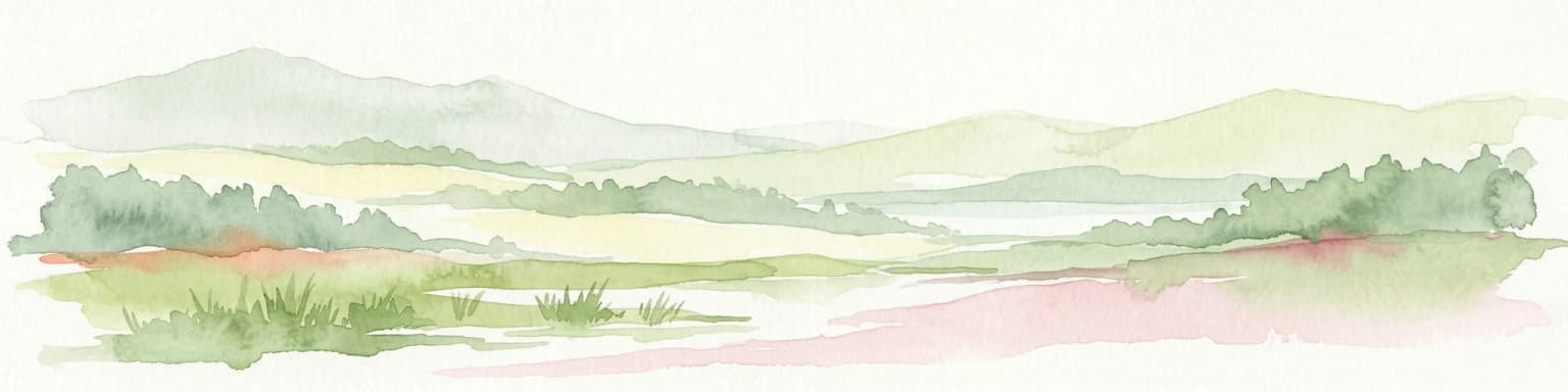
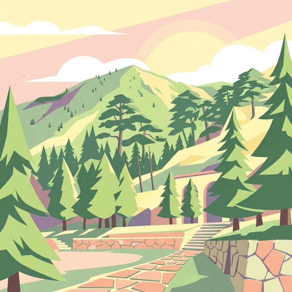
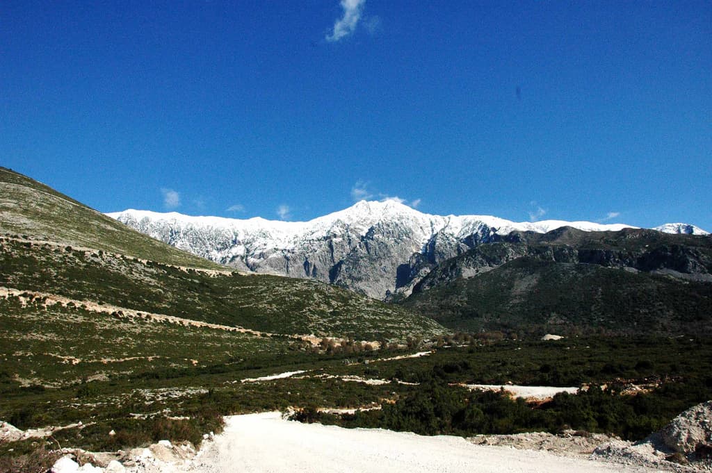
Llogara National Park is renowned for its dramatic combination of alpine and coastal scenery, where snow-dusted peaks of the Ceraunian Mountains overlook the turquoise waters of the Albanian Riviera. The park protects one of Albania's most significant forest ecosystems, with old-growth stands of Bosnian pine, Bulgarian fir, and silver fir persisting in the higher elevations. The area is a critical stronghold for European raptors, particularly the griffon vulture and golden eagle, which nest on the sheer rock faces. The distinctive Pisha e Flamurit (Flag Pine), a windswept black pine tree shaped into a flag-like form by persistent southeastern winds, stands as a natural landmark at approximately 910 meters elevation. The park also serves as a renowned paragliding destination, having hosted international competitions including the FAI World Paragliding Accuracy Championship.
Llogara National Park history and protected-area timeline
Llogara National Park was established on November 21, 1966, making it one of Albania's earliest designated national parks and reflecting the country's commitment to preserving its natural heritage during the communist period. The establishment of the protected area came in recognition of the region's exceptional scenic value, ecological diversity, and the need to conserve the forest ecosystems that covered most of the Ceraunian Mountains. At the time of designation, the park encompassed a smaller area than its current boundary, with subsequent expansions increasing the total protected surface to the present 1,769 hectares.
The park's designation as Category II under the International Union for Conservation of Nature's protected area classification system reflects its primary objective of protecting natural ecosystems while allowing for sustainable recreation and environmental education. Throughout the latter decades of the twentieth century, the park remained relatively isolated due to Albania's political situation, with limited infrastructure and visitation. Following the country's political and economic transition in the 1990s, tourism development accelerated along the Albanian Riviera, increasing pressure on the park's resources and necessitating improved management frameworks.
The area holds historical significance beyond its recent protected area status. The Llogara Pass and surrounding mountains have served as strategic routes through the centuries, with Caesar's Pass named for Julius Caesar's passage through the region during his pursuit of Pompey in 48 BCE. This historical layer adds cultural depth to the landscape, connecting contemporary conservation efforts to the region's long human history. The park remains under the governance of Albania's National Agency of Protected Areas, which manages visitor access, conservation programs, and infrastructure development within the boundary.
Llogara National Park landscape and geographic character
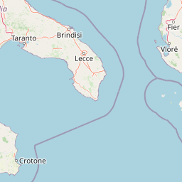
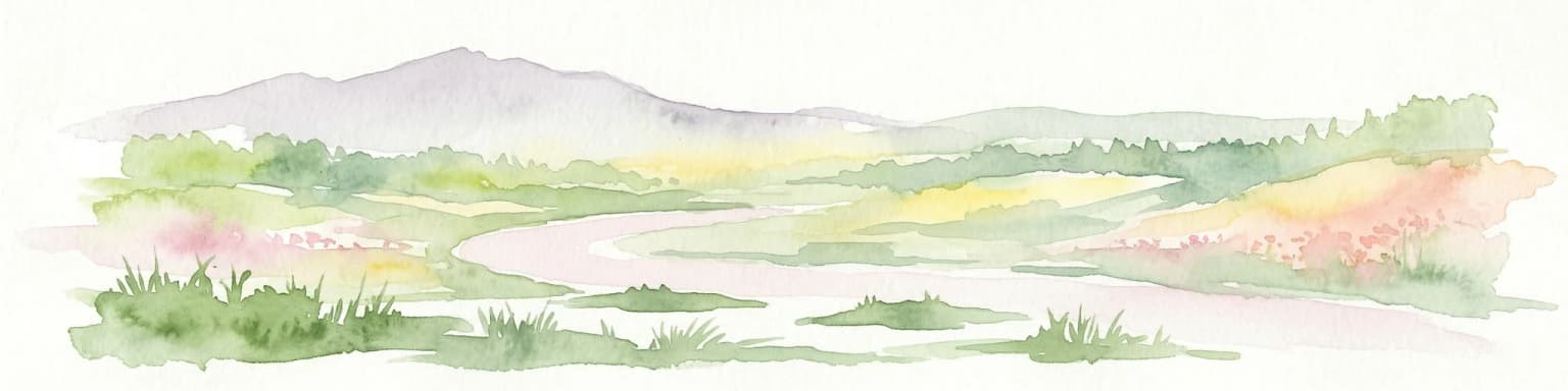
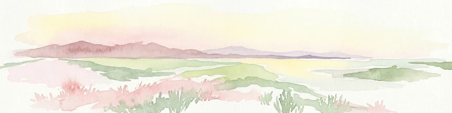
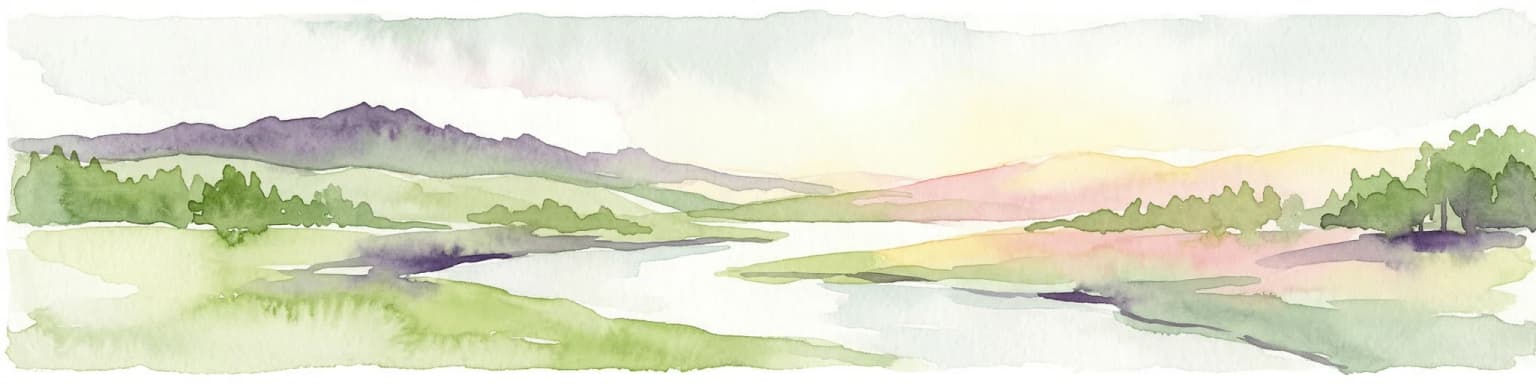
The landscape of Llogara National Park is defined by the dramatic topography of the Ceraunian Mountains, a coastal mountain range that rises steeply from the Albanian Riviera to create one of the most visually striking settings in the Balkans. The park's terrain is characterized by rugged limestone and dolomite peaks, steep-walled valleys, vertical rock faces, and the distinctive Llogara Pass corridor that threads through the mountains at 1,027 meters elevation. The highest summits within the protected area reach approximately 2,020 meters, with Maja e Çikës standing as the range's loftiest peak just outside the park boundary at 2,045 meters.
Geologically, the Ceraunian Mountains consist primarily of carbonate rocks from the Mesozoic and Paleozoic periods, with limestone and dolomite formations creating the characteristic karst features found throughout the range. The mountains are separated into two distinct chains by the Llogara Pass, with the Reza e Kanalit or Akroceraunian Mountains occupying the western portion toward the Karaburun Peninsula. This tectonic structure has created a landscape of exceptional visual drama, where massive rock faces drop sharply toward the sea and alpine ridges are visible from the coastal beaches below.
The vegetation creates a striking visual gradient across the landscape, with dense forests of dark conifers clothing the middle elevations and giving way to alpine meadows and bare rock at the summits. In the lower reaches, Mediterranean scrub and deciduous oaks provide a contrasting green palette. The combination of snow-capped peaks visible from the beach-lined coast below creates a landscape of rare scenic quality, with the vertical relief of nearly 2,000 meters within a few kilometers of horizontal distance providing dramatic contrast between alpine and coastal environments.
Llogara National Park ecosystems, habitats, and plant life
Llogara National Park occupies a critical position within the Illyrian deciduous forests ecoregion of the Palearctic realm, protecting a transition zone where Mediterranean vegetation gives way to central European forest types. The park's ecological significance stems from the exceptional combination of geographic latitude, altitude range, and climatic diversity that supports high levels of plant endemism and species richness. The forests are dominated by a complex mosaic of coniferous and deciduous species, with Bosnian pine and black pine forming the primary canopy in upper elevations, while Bulgarian fir and silver fir contribute to the forest structure in sheltered valleys and north-facing slopes.
The lower forest zones feature kermes oak and other evergreen Mediterranean species, creating a distinctive ecological boundary where southern and northern floristic elements intersect. This botanical diversity is reflected in the park's designation as an Important Plant Area, recognizing the presence of species restricted to these unique habitats. The altitudinal zonation creates distinct vegetation communities that respond to the temperature and precipitation gradients across the park's extent, from the hot, dry Mediterranean conditions at lower elevations to the cool, more moist conditions at the highest peaks.
The park's position between the Adriatic and Ionian seas and its complex topography create microclimatic conditions that further enhance ecological diversity. Air currents flowing through the mountain pass have shaped vegetation in remarkable ways, with the famous Pisha e Flamurit exemplifying how wind exposure influences tree growth and form. This individual black pine, shaped into a flag-like form by persistent southeastern winds at approximately 910 meters elevation, has become an iconic symbol of the park's unique natural character. The tree is estimated to be around 100 years old, standing approximately 20 meters tall with a trunk diameter of 75 centimeters.
Llogara National Park wildlife and species highlights
The vertebrate fauna of Llogara National Park encompasses a remarkable diversity of species, reflecting the park's varied habitats and its position along important ecological corridors. The park's raptors represent some of the most significant wildlife values, with the griffon vulture and golden eagle both present as breeding species that utilize the extensive rock faces for nesting. These large birds of prey hunt over the alpine meadows and forested slopes, preying on mammals and birds throughout the park. The rock partridge occupies the rocky terrain at higher elevations, while the overall bird community includes numerous Mediterranean and European species that utilize the diverse habitats.
The mammalian community includes several species of conservation importance. The chamois persists in the rocky alpine zones, while both fallow deer and roe deer inhabit the forested areas and meadows. The European wildcat, though secretive and rarely observed, maintains a presence in the denser forest sections. More common species include the red fox, wolf, and otter, with the latter particularly associated with watercourses and the riparian zones within the park. The red squirrel is widespread in the coniferous forests, while smaller mammals occupy the diverse habitats throughout the elevation gradient.
The combination of forested habitats, alpine meadows, rocky cliffs, and the proximity to the sea creates a mosaic of environments that supports this rich fauna. The park's designation as an Important Bird Area reflects the European significance of its raptor populations and the overall bird community. Wildlife viewing opportunities are enhanced by the park's network of trails and the visibility afforded by the open alpine terrain, though many species remain elusive due to their cryptic habits or crepuscular activity patterns.
Llogara National Park conservation status and protection priorities
Llogara National Park holds significant conservation importance within Albania's protected area network and contributes to broader European conservation objectives through its designation as both an Important Bird Area and an Important Plant Area. The park protects some of the most intact forest ecosystems remaining in the Ceraunian Mountains region, with old-growth stands of coniferous species representing habitats of high ecological value. These forests serve critical functions in watershed protection, soil stabilization on the steep terrain, and carbon sequestration, while providing essential habitat for species of conservation concern.
The raptor populations, particularly the griffon vulture and golden eagle, represent flagship species for the park's conservation value. These birds require large territories and intact ecosystems, making the protected area designation essential for their continued survival in the region. The complex topography and varied habitats support other species of European conservation concern, including the chamois in the alpine zones and various bird species associated with the Mediterranean and forest habitats. The combination of multiple conservation designations reflects the scientific consensus on the park's importance for maintaining biodiversity.
Management challenges include balancing tourism development with conservation objectives, as the park's accessibility and scenic appeal draw significant visitor numbers, particularly during the summer months. The paragliding activities, while economically beneficial, require careful management to minimize disturbance to sensitive species. Ongoing conservation priorities include maintaining forest health, protecting water resources, managing visitor impacts, and ensuring that development within the park boundary remains consistent with conservation objectives.
Llogara National Park cultural meaning and human context
The landscape of Llogara National Park is interwoven with historical and cultural significance that extends beyond its recent protected area status. The Llogara Pass has served as a strategic mountain corridor for millennia, providing a relatively accessible route through the steep Ceraunian Mountains between northern and southern Albania. This historical importance is commemorated in the name Caesar's Pass, which references Julius Caesar's passage through the region in 48 BCE during his pursuit of Pompey following the Battle of Pharsalus. This connection to Roman history adds a layer of cultural resonance to the landscape, linking contemporary visitors to the region's ancient past.
The area maintains connections to traditional Albanian rural culture, with the surrounding villages and agricultural terraces reflecting generations of human interaction with the mountain environment. The production of honey and mountain tea by local vendors along the road through the park represents continuation of traditional practices within the protected area. These cultural elements coexist with the conservation framework, demonstrating how protected areas can accommodate ongoing cultural practices while maintaining ecological integrity.
The park's name in Albanian, Parku Kombëtar i Llogarasë or Parku Kombëtar i Llogorasë, reflects the local toponym and the national significance attributed to this landscape. The preservation of cultural heritage is considered alongside ecological conservation in management planning, recognizing that the landscape's value encompasses both natural and cultural dimensions.
Top sights and standout views in Llogara National Park
Llogara National Park offers visitors an exceptional combination of alpine scenery and coastal views from the Llogara Pass, where the dramatic peaks of the Ceraunian Mountains overlook the Albanian Riviera and islands of the Ionian Sea. The Pisha e Flamurit (Flag Pine) stands as a remarkable natural monument, a windswept black pine shaped into a distinctive flag-like form by persistent winds over approximately a century. The park protects significant populations of griffon vultures and golden eagles that nest on the sheer rock faces, providing opportunities for raptor observation in one of Albania's premier wildlife watching locations. The extensive forest ecosystems of Bosnian pine, Bulgarian fir, and silver fir represent some of the finest remaining old-growth forests in the region. The paragliding site south of the park has hosted international competitions, drawing adventure tourism to this spectacular mountain setting. Hiking trails traverse the diverse terrain, from coastal viewpoints to alpine meadows beneath the highest peaks.
Best time to visit Llogara National Park
The best time to visit Llogara National Park depends on the experience sought, with each season offering distinct advantages for different activities. The summer months of June through August bring warm temperatures ideal for beach-based activities along the Albanian Riviera combined with mountain exploration, though this is also the peak tourist season with the largest crowds. Spring, particularly late April through May, offers mild temperatures, blooming wildflowers in the meadows, and thinner crowds, making it an excellent time for hiking and wildlife observation. Autumn provides similar advantages with the added benefit of autumn coloration in the deciduous forests and typically pleasant weather through October.
Winter visits offer a dramatically different experience, with snow blanketing the higher peaks and creating a stark alpine landscape. The winter months can be cold at elevation, but the dramatic contrast between snow-capped peaks and the still-warm coastal plain below creates exceptional scenic conditions. The Mediterranean climate means that lower elevations remain relatively accessible even in winter, though the mountain passes may experience icy conditions. For wildlife viewing, the spring and early summer periods correspond with breeding activity and increased animal visibility as species become more active in the warmer months.