
Mori Atlas logo
Countries

Navigate mapped protected landscapes and regional geography across Turkey's diverse terrain.

Discover Turkey's National Parks and Protected Areas: A Geographic Atlas

MoriAtlas provides a structured geographic gateway to Turkey's extensive network of national parks and protected natural areas. Explore the mapped boundaries and regional context of these vital conservation landscapes, from the shores of the Black Sea to the Mediterranean coast. Understand the geographic distribution and landscape features that define Turkey's natural heritage, serving as a comprehensive atlas for navigating its protected domains.

Related tags

transcontinental countrywest asiasoutheast europemediterranean coastblack sea coast
Park system

National Parks in Turkey: Protected-Area Profile and System Snapshot

Comparing conservation scale, historical age, and diverse climate zones across known records

Active data-driven profiles allow travelers and researchers to compare park sizes, establishment history, and habitat classifications across Turkey's diverse geography. Integrated charts clarify how ecological zones shift from coastal Mediterranean reserves to the high peaks of Anatolia based on currently available records.

Known protected area

6,413 km²

Area data available for 33 of 43 parks.

Median park size

67 km²

Median across 33 parks with known area.

Oldest known park

Established in 1958.

Largest known park

Recorded area: 869 km².

Designation distribution

National park41
Protected area2

Habitat distribution

Temperate broadleaf forest16
Temperate coniferous forest14
Riverine habitat13
Montane forest12
Wetland8

11 more categories represented

Climate distribution

Temperate13
Mediterranean11
Alpine1
Arid1
Boreal1

1 more category represented

About

Explore the Diverse Mapped Geography of Turkey's Protected Landscapes, Spanning Anatolia and Southeast Europe

Discover Turkey's National Parks and Protected Areas: A Geographic Atlas of Eurasian Conservation Landscapes

MoriAtlas provides a comprehensive geographic overview of national parks and protected areas across Turkey. This atlas serves as an essential entry point for navigating the country's diverse conservation landscapes, from the Mediterranean coast to the Black Sea region. Explore the spatial distribution of protected lands and understand Turkey's broader natural heritage.

Turkey, officially the Republic of Türkiye, is a transcontinental country located mainly in Anatolia (West Asia) with a smaller portion in East Thrace (Southeast Europe). It borders the Black Sea to the north, several countries to the east and south, and the Aegean Sea and European countries to the west. The country has a population of over 86 million and operates as a secular, Muslim-majority presidential republic with Ankara as capital and Istanbul as its largest city.

Turkey occupies a strategic geographic position spanning the border between Europe and Asia. The country emerged from the Ottoman Empire in 1923 as a secular republic under Atatürk's leadership. Its economy is the 16th largest globally by nominal GDP, with major sectors including manufacturing, agriculture, tourism, and services. Turkey maintains a diverse cultural heritage reflecting its historical role as a bridge between civilizations, with influences from Greek, Roman, Byzantine, Seljuk, and Ottoman periods.

Largest city:Istanbul
Currency code:TRY
ISO code:TR
Parks count
43
Capital
Ankara
Area
783,562 km²
Population
86,092,168 (2,025)

Coastal
Island
Mountainous
Landlocked
Park atlas43 parks

Delve into the mapped geography of Turkey's national parks and protected landscapes, spanning diverse ecosystems across Anatolia and Thrace.

National Parks and Protected Areas in Turkey: Your Atlas for Geographic Discovery

This MoriAtlas section presents a curated atlas of national parks and significant protected areas throughout Turkey, enabling structured geographic discovery. Browse detailed park entities, understand their regional context across Anatolia and Thrace, and explore the diverse conservation landscapes that define Turkey's natural heritage.
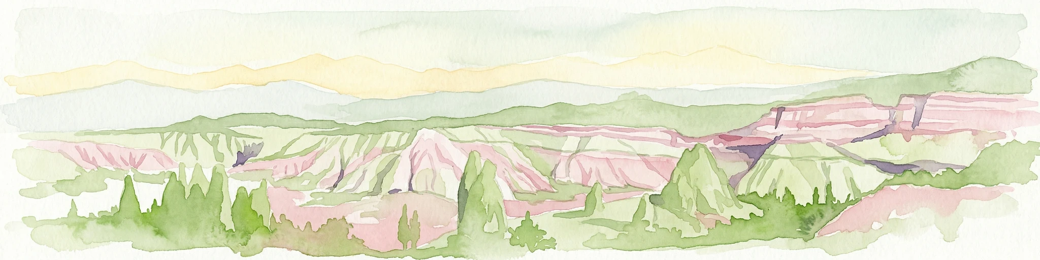
Watercolor illustration showing the landscape of Göreme Historical National Park with characteristic rock formations in pink and green hues
National parkTurkey

Göreme Historical National Park: A Mapped Volcanic Landscape and Protected Cultural Heritage in Turkey

Explore the unique geography and rock-cut churches of Cappadocia.

Göreme Historical National Park presents a globally significant protected landscape, celebrated for its dramatic volcanic geology and extensive rock-cut architecture. This national park in Turkey's Cappadocia region features iconic fairy chimneys and ancient cave dwellings, offering a rich context for exploring human adaptation to natural terrain. MoriAtlas facilitates a detailed discovery of its mapped boundaries and regional geography, highlighting the intersection of natural wonder and historical habitation within this unique protected area.

IUCN
II
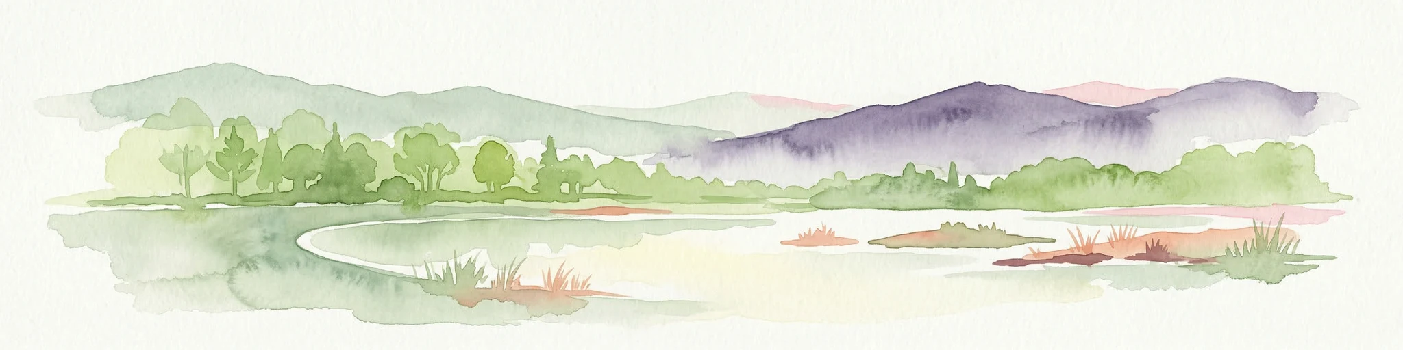
Watercolor painting showing a lake with green vegetation, rolling hills, and mountain range in the background
National parkTurkey

Mount Nemrut National Park: Turkey's Protected Landscape and Geographic Atlas Entry

Explore the mapped boundaries of this significant national park.

Mount Nemrut National Park is a designated national park in Turkey, offering a distinct focus for protected landscape and geographic discovery. This page serves as an entry point to understanding its mapped boundaries, regional setting within southeastern Anatolia, and its significance as a protected natural area. Delve into the atlas context and explore the unique geographic features that characterize this important Turkish national park.

IUCN
II
National parkAydın Province

Dilek Peninsula-Büyük Menderes Delta National Park: Protected Landscape and Geographic Context

Aydın Province's unique national park with diverse ecosystems.

Investigate Dilek Peninsula-Büyük Menderes Delta National Park, a key protected area in Turkey's Aydın Province. This page provides detailed geographic context, highlighting the park's remarkable coexistence of mountainous terrain and essential wetland habitats. Understand the mapped boundaries and landscape characteristics that define this significant national park.

Area
275.98 km²
Established
1966
IUCN
II
Visitors
700K annual
Watercolor illustration of a landscape featuring rolling hills, trees, and a small body of water
Protected areaTurkey

Ancient Troya National Park: A Mapped Protected Landscape with Deep Historical Significance

Explore the terrain and protected boundaries of this key Turkish heritage site.

Ancient Troya National Park offers a unique window into history, preserving the layers of the ancient city of Troy within its protected boundaries. Situated in Turkey, this park encompasses a significant archaeological site on a commanding hilltop, overlooking rolling Mediterranean terrain and coastal plains. Its landscape, characterized by fortified walls, gates, and the remnants of ancient structures, provides a rich context for understanding its mythological and historical importance. MoriAtlas provides detailed mapping and geographic context for this vital protected area, enhancing its atlas exploration value.

Established
1996
IUCN
II
Relief
Lowland
Climate
Mediterranean
Watercolor landscape showing mountains, trees, and a river
National parkTurkey

Uludağ National Park: Turkey's Oldest National Park's Alpine Landscape and Geography

Mapped protected area in Turkey's Marmara region.

Delve into the protected landscape of Uludağ National Park, Turkey's first national park, renowned for its distinctive alpine environment and dramatic mountain terrain. This page offers a detailed atlas view of the park's geography, mapped boundaries, and unique ecosystems, providing essential context for understanding this significant protected area within Turkey's natural heritage.

Established
1961
IUCN
II
Relief
Mountain
Climate
Temperate
Watercolor painting of a river flowing through green hills and mountains under a soft sky.
National parkMuğla Province

Saklıkent National Park: Explore Turkey's Deepest Gorge, Limestone Formations, and Protected Terrain

A remarkable national park showcasing dramatic canyon geography and karst landscapes.

Saklıkent National Park presents an extraordinary example of a protected landscape dominated by a deep limestone canyon in Muğla Province, Turkey. This national park invites exploration of its striking geological features, including towering cliffs and flowing karstic springs that form a spectacular gorge. Users engaging with Saklıkent National Park gain insight into the mapped boundaries of protected areas and the unique natural terrain sculpted by water over millennia, offering a rich geographic context for atlas discovery.

Area
16.43 km²
Established
1996
IUCN
II
Visitors
200K annual
Watercolor illustration of mountainous landscape with rivers and fields
National parkTurkey

Kaçkar Mountains National Park: Mapped Alpine Terrain in Turkey

Discover the dramatic glacial valleys and ridgelines.

Kaçkar Mountains National Park stands as a protected sentinel of Turkey's rugged alpine beauty. This national park encompasses dramatic peaks, glacier-carved valleys, and extensive highland meadows, offering a rich tapestry of mountain geography. Explore the mapped boundaries and landscape context of this iconic protected area, understanding its position within the broader topography of Turkey's Black Sea region.

IUCN
II
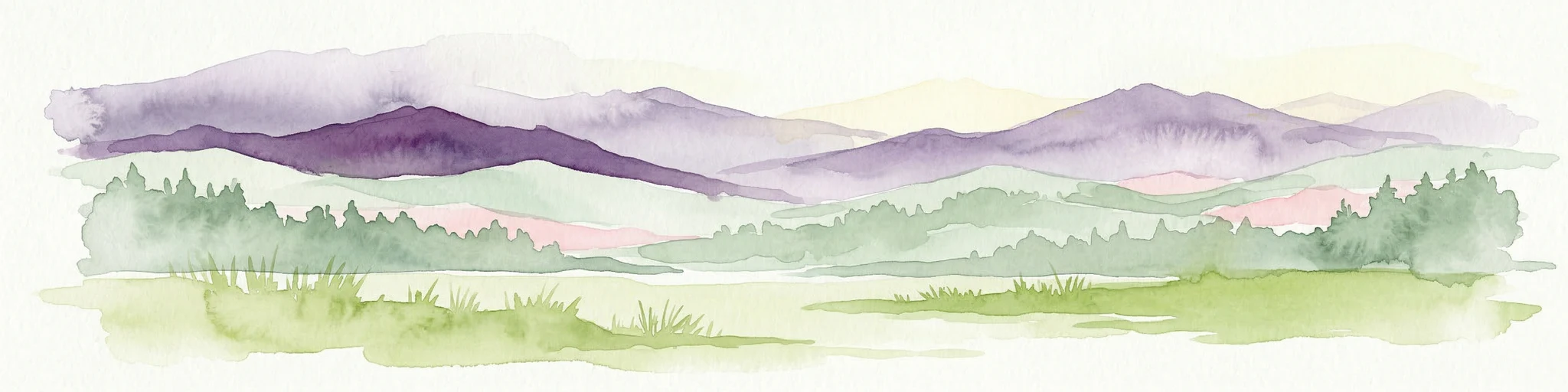
Watercolor painting showing green and pink mountain ranges with a body of water in the middle
National parkTurkey

Kazdağı National Park: Explore Turkey's Protected Mountainous Terrain and Forest Ecosystem

Mapped geography and protected landscape context within Turkey's Aegean region.

Kazdağı National Park is a significant protected area in Turkey, renowned for its dramatic mountain landscape encompassing Mount Ida. This park safeguards a critical subalpine forest ecosystem, characterized by diverse tree species that transition into rocky summits and alpine meadows. Understanding Kazdağı National Park's mapped boundaries provides essential insight into the regional geography, watershed protection, and the unique natural terrain found in western Turkey's Mediterranean mountain ranges, offering a solid foundation for geographic discovery.

IUCN
II
Scope
Terrestrial
Watercolor painting showing multiple lakes surrounded by green trees and mountains under a light sky
National parkBolu Province

Yedigöller National Park: Bolu Province's Landslide Lake and Forested Protected Landscape

Discover mapped terrain and unique natural park geography.

Yedigöller National Park presents a distinctive protected landscape within Bolu Province, notable for its chain of seven landslide-formed lakes and extensive, dense forests. This page serves as your entry point to understanding the park's geographic distribution, mapped boundaries, and the characteristic terrain that defines this important natural area. Explore the unique ecosystem and its place within the broader regional geography through structured atlas-style discovery.

Area
16.23 km²
Established
1965
IUCN
II
Relief
Mixed relief
National parkMuğla Province

Marmaris National Park: Mediterranean Forest Protected Landscape and Ancient Heritage

Discover its geography, mapped boundaries, and unique flora.

Marmaris National Park in Muğla Province offers a deep dive into a protected Mediterranean forest ecosystem and Carian history. Explore its rugged terrain, dramatic coastlines where pine forests meet the sea, and discover ancient sites like the Amos amphitheatre. This park is a key area for understanding regional geography, mapped natural landscapes, and the unique botanical diversity of Turkey's southwestern coast, supporting detailed atlas exploration.

Area
333.5 km²
Established
1996
IUCN
II
Visitors
8.5M annual
Watercolor illustration depicting mountain ranges, green forests, and a valley with a body of water
National parkKastamonu Province

Küre Mountains National Park: Ancient Forests and Karst Canyons in Kastamonu Province

Explore Protected Landscape, Map Boundaries, and Regional Geography

Küre Mountains National Park, situated in Kastamonu Province, Turkey, offers a unique glimpse into ancient forest ecosystems and dramatic karst formations. As a protected national park, it is distinguished by its extensive canyon systems, including Horma and Valla, and significant cave networks like Ilgarini Cave. This entry provides detailed geographic context, helping users understand the park's terrain, protected boundaries, and its ecological importance within the Black Sea Region's natural landscape.

Area
377.53 km²
Established
2000
IUCN
II
Relief
Mountain
National parkTunceli Province

Munzur Valley National Park: Tunceli Province's Vast Protected Alpine Landscape

Discover Turkey's largest national park and its unique mountain geography.

Munzur Valley National Park stands as a monumental protected area within Tunceli Province, Turkey. Its expansive territory encompasses approximately 420 square kilometers of dramatic mountain ranges, deep river valleys, and high-altitude glacial lakes. The park's complex geological makeup, shaped by tectonic forces and glacial activity, contributes to its unique terrain. This atlas entry highlights the park's role as a major biodiversity hotspot and a significant feature within eastern Anatolia's regional geography, offering rich context for landscape exploration.

Area
420 km²
Established
1971
IUCN
II
Relief
Mountain
Landscape and environment

Understand how Turkey is shaped by terrain, ecosystems, and seasonal conditions

Turkey geography, nature, climate, and landscape context for park-focused travel research

Explore the physical geography, natural setting, and climate patterns of Turkey through a location-first overview built for travel research, national park discovery, and broader regional context. This section helps explain how landscapes, habitats, and environmental conditions shape what people search for, where they travel, and how they experience protected areas in Turkey.

Turkey geography and landscape

Turkey is a transcontinental country with the majority of its territory (about 97%) located in Anatolia (West Asia) and a smaller portion called East Thrace in Southeast Europe. It borders the Black Sea to the north, Georgia, Armenia, Azerbaijan, and Iran to the east, Iraq and Syria to the south, and the Mediterranean Sea to the southwest. To the west, Turkey borders the Aegean Sea, Greece, and Bulgaria. The terrain includes mountains, plateaus, and coastal plains, with the Taurus Mountains running along the southern coast.

Turkey nature and environment

Turkey's diverse geography encompasses multiple ecosystems including forests, mountains, wetlands, and coastal environments. The country has numerous protected areas and national parks preserving its natural heritage, ranging from the forests of the Black Sea coast to the Mediterranean landscapes and mountainous regions of Anatolia.

Turkey climate and seasonal conditions

Turkey experiences diverse climate conditions due to its size and geographic variation. The coastal areas along the Black Sea, Mediterranean, and Aegean have Mediterranean climates with hot summers and mild winters. Interior regions have continental climates with more extreme temperature variations. The country receives precipitation patterns that vary significantly by region.

Explore this place

Related topics and popular queries

Ways to explore Turkey

Useful phrases, related topics, and discovery prompts connected to Turkey.
where is turkey locatedwhat is turkey known forturkey capital cityturkey population and economyturkey geography and climatenational parks in turkeyturkey history and cultureturkey borders which countriesturkey countryturkey geographyturkey republicankara capitalistanbul largest cityturkey populationturkey economyturkey national parksturkey traveltürkiye
Park map

Explore the spatial distribution of Turkey's national parks, mapped across its diverse geographic regions.

Explore the National Parks Map of Turkey: Discover Protected Areas Across Anatolia and Thrace

Preview the mapped locations of national parks and protected areas throughout Turkey, from the Black Sea coast to the Mediterranean and across Anatolia. This geographic overview helps you understand the spatial arrangement of Turkey's conservation landscapes and plan your exploration of its diverse terrain.
Natural feature types

Browse the Full Collection of Natural Features Within Turkey National Parks

Deepen your understanding of Turkey by mapping the natural features contained in its protected areas. MoriAtlas offers a structured approach to viewing regional terrain and geographic diversity across these landscapes, providing an essential resource for analyzing the natural topography of the country.

Understanding Turkey's Diverse Protected Landscapes, Regional Park Distribution, and Conservation Context

Frequently Asked Questions about Turkey's National Parks and Protected Areas Geography

Explore common inquiries about national parks and designated protected areas across Turkey's varied terrain, from the Mediterranean coast to Eastern Anatolian mountains. These answers provide geographic context for discovering Turkey's conservation efforts, park distribution patterns, and significant natural and cultural heritage sites through a detailed atlas perspective.
Other countries

Compare Turkey's extensive protected landscapes with the national park geographies of neighboring countries in the MoriAtlas.

Continue Your Park Discovery: Explore National Parks and Protected Areas in Countries Neighboring Turkey

Explore national parks and protected areas in countries surrounding Turkey, broadening your geographic understanding of conservation landscapes across West Asia and Southeast Europe. This country-level atlas view helps you compare distinct protected area geographies and discover regional park contexts beyond Turkey's borders.

Cyprus National Parks and Protected Areas: Mapped Landscapes Explorer

Navigate Cyprus's protected areas through a detailed geographic lens. This MoriAtlas entry provides structured data on national parks and conservation landscapes, highlighting their mapped boundaries and regional context. Understand the island's natural terrain and explore its protected land distribution, serving as a crucial atlas entry point for geographic discovery within Cyprus.

45 parks

Israel National Parks and Protected Areas: Geographic Discovery and Atlas Navigation

Navigate Israel's protected natural areas with a detailed geographic atlas. This resource highlights the distribution of national parks and conservation landscapes, providing insight into their placement within the country's diverse natural terrain. Understand the geographic context of protected lands and use structured data to explore the breadth of Israel's park system and its regional significance.

37 parks

Romania National Parks and Protected Areas Atlas for Geographic Exploration

This atlas entry point provides structured access to Romania's national parks and protected areas. Explore the geographic distribution of mapped natural landscapes and understand the context of protected territories within the country. MoriAtlas enables detailed map-based navigation and discovery of Romania's diverse natural terrain and conservation zones.

31 parks

Greece: National Parks, Protected Areas, and Mapped Landscapes

This section offers a comprehensive atlas view of Greece's national parks and protected areas. Explore the geographic distribution, mapped boundaries, and landscape context of conservation sites across the country. MoriAtlas facilitates a structured understanding of Greece's natural protected regions, making it an essential tool for geographic discovery and atlas-based browsing.

31 parks

Azerbaijan's National Parks and Protected Areas: A Mapped Geographic Overview

Navigate the diverse protected areas and national parks within Azerbaijan. This atlas view focuses on the geographic distribution and mapped boundaries of its natural landscapes, offering a structured way to understand the country's conservation areas and their regional context for detailed exploration.

16 parks

North Macedonia National Parks and Protected Areas: Geographic Atlas Overview

Navigate the protected natural areas of North Macedonia through a structured geographic lens. This atlas view highlights the distribution and mapped boundaries of the country's national parks and significant protected lands. Understand the landscape context and regional significance of these conserved territories, essential for any map-based exploration of North Macedonia's natural heritage.

4 parks

Bulgaria National Parks and Protected Areas: Mapped Geographic Context

Access a structured overview of Bulgaria's national parks and protected areas. This atlas-focused resource highlights geographic distributions and mapped boundaries, enabling comprehensive discovery of the country's diverse natural terrain and conservation landscapes.

3 parks

Moldova National Parks and Protected Areas: Mapped Geographic Context and Distribution

MoriAtlas provides a comprehensive atlas view of Moldova's protected areas and national parks. Delve into the geographic structure, understand the distribution of natural reserves, and examine the landscape context for each protected region within the country. This resource enables detailed map-based discovery and a structured understanding of Moldova's natural heritage.

1 park

Protected area types

Continue Exploring Turkey's Protected Area Classifications and Park Geography

Deepen your understanding of Turkey's natural landscapes by continuing to explore its specific park designations. Access detailed classifications, discover the geographic spread of protected areas, and find context for each reserve type. This path offers a structured way to examine Turkey's dedication to conservation through its official designation system.

Turkey Protected Area Designations
MoriAtlas Explorer

Continue Your Global Geographic Exploration with MoriAtlas Park Discovery

Dive deeper into the world's protected landscapes and national parks through MoriAtlas's structured atlas interface. Discover how continents and countries are organized, and how individual park geography fits into the broader map. Our platform is built for understanding the distribution and context of protected areas worldwide, facilitating your journey through global natural geography.

Global natural geography