Mori Atlas logo
National parkKaçkar Mountains National Park

Discover the glacial terrain and dramatic ridgelines of this spectacular Turkish national park.

Kaçkar Mountains National Park: Turkey's Premier Alpine Protected Landscape

Kaçkar Mountains National Park in Turkey represents a core protected landscape, safeguarding the rugged beauty of the Kaçkar range. This national park showcases dramatic alpine peaks, sculpted by ancient glaciers, flowing into steep river canyons. Its geography is characterized by soaring summits, expansive cirques, and high-altitude meadows, offering a distinct visual gradient from lush Black Sea forests to stark, snow-capped highlands. MoriAtlas provides a map-focused gateway to understanding this significant protected mountain environment within Turkey's diverse terrain.

Mountain ParksAlpine EnvironmentsGlacial LandscapesHighland MeadowsEastern TurkeyBlack Sea Region
Stylized illustration of mountains with snow patches, a lake reflecting the landscape, and pine trees under a sunset sky

Kaçkar Mountains National Park

National park

Park overview

Structured park overview, official facts, and landscape profile for Kaçkar Mountains National Park

Kaçkar Mountains National Park park facts, protected area profile, and essential visitor context
Review the core facts for Kaçkar Mountains National Park, including designation, size, terrain, visitor scale, habitats, and operating context in one park-focused overview.

About Kaçkar Mountains National Park

Kaçkar Mountains National Park occupies a significant portion of the Kaçkar range, one of Turkey's most important high-mountain environments. The protected area was established to safeguard both the outstanding natural beauty and the ecological integrity of this mountainous landscape. The Kaçkar mountains rise sharply from the Black Sea coast, creating a dramatic transition from humid coastal forests to stark alpine terrain within a relatively short horizontal distance. The park includes several peaks exceeding 3,000 meters, with the highest summits retaining glacial ice from the last Ice Age—a rarity in Turkey. Visitors to the park encounter a landscape shaped by glacial processes, featuring U-shaped valleys, terminal moraines, and Cirque lakes that dot the highland terrain. The area is remoteness and ruggedness have helped preserve its ecological character, though accessibility has improved with recent road development in the region.

Quick facts and research context for Kaçkar Mountains National Park

Kaçkar Mountains National Park protects a portion of the Kaçkar mountain range in Rize and Artvin provinces in northeastern Turkey. The region features Turkey's highest peaks outside the eastern Taurus range, with elevations exceeding 3,000 meters. The park's landscape is characterized by deep valleys, alpine meadows, glacial lakes, and rocky ridgelines. The area supports diverse habitats ranging from subalpine forests to high-altitude tundra-like zones.

Park context

Deeper park guide and search-rich context for Kaçkar Mountains National Park

Kaçkar Mountains National Park history, landscape, wildlife, and travel context
Explore Kaçkar Mountains National Park through its history, landscape character, ecosystems, wildlife, conservation priorities, cultural context, and seasonal travel timing in a structured park guide built for atlas discovery and search intent.

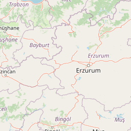
Why Kaçkar Mountains National Park stands out

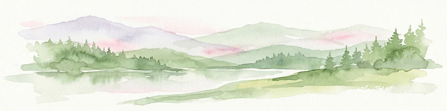
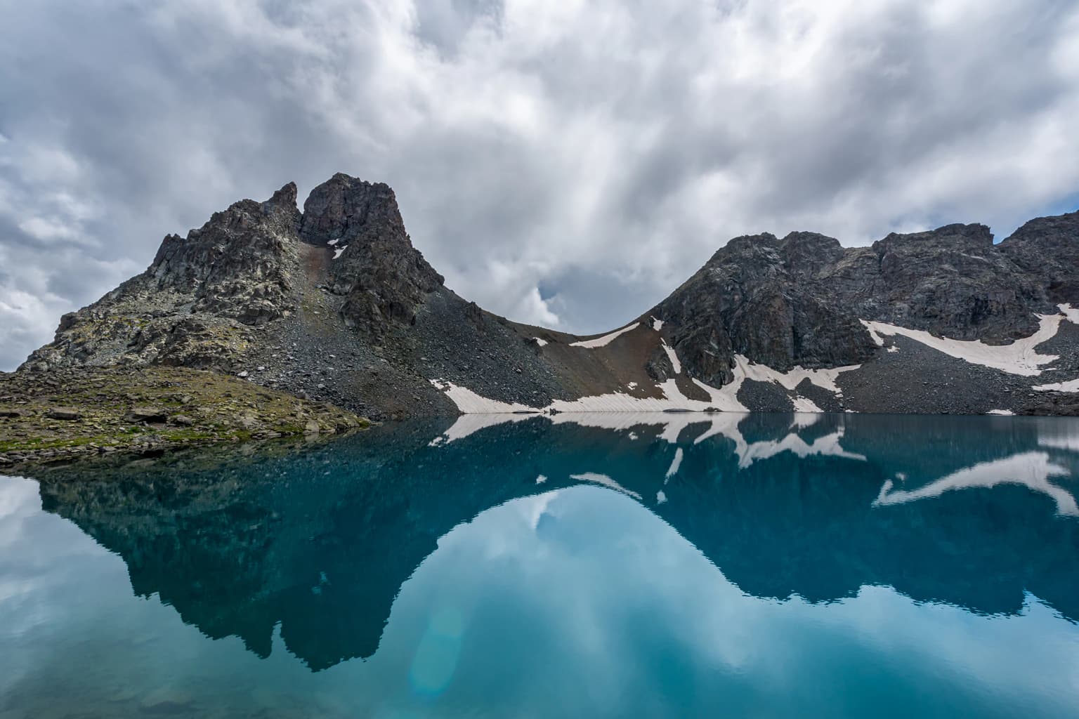
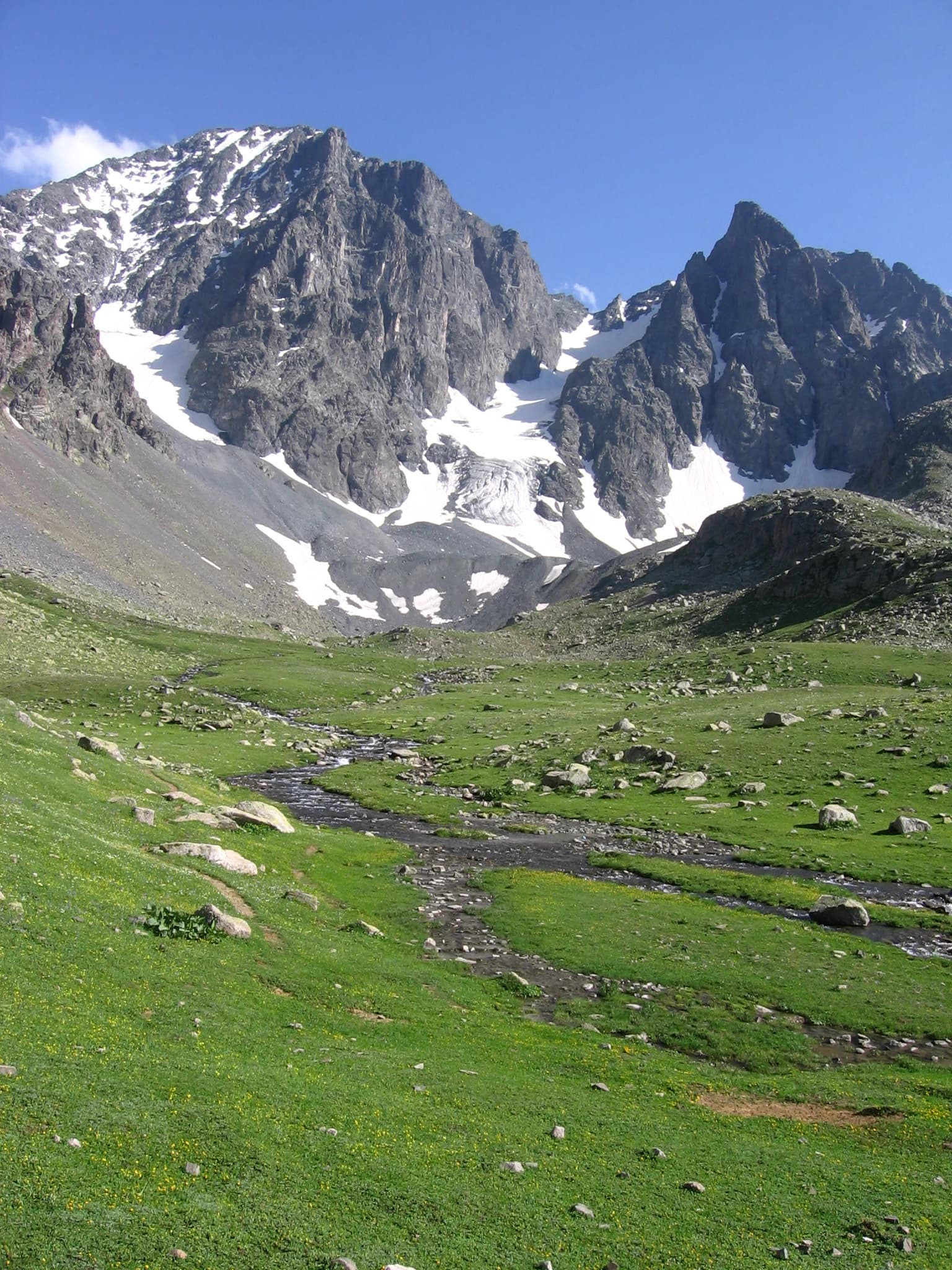
The park is best known for its soaring alpine peaks, dramatic glacial valleys, and the distinctive cultural landscape of the Kaçkar highlands. The mountains feature glacier-capped summits, turquoise highland lakes, and sweeping ridgeline views that define one of Turkey's most spectacular mountain environments. The area is also renowned for traditional highland settlements where semi-nomadic Yayla culture persists during summer months.

Blue mountain lake reflecting rocky peaks with snow patches and cloudy sky
A glacial lake reflecting mountain peaks under a cloudy sky in Kaçkar Mountains National Park

Kaçkar Mountains National Park history and protected-area timeline

Kaçkar Mountains National Park was established as part of Turkey's expanding network of protected areas during the late twentieth century. The designation reflected growing recognition of the Kaçkar range's unique alpine character and its significance as Turkey's primary high-mountain landscape in the Black Sea region. Prior to formal protection, the area had long been used by local communities for seasonal grazing and transhumance practices, with traditional Yayla settlements occupying highland meadows during summer months. The establishment of the national park aimed to balance continued traditional use with conservation of the area's outstanding natural values.

Kaçkar Mountains National Park landscape and geographic character

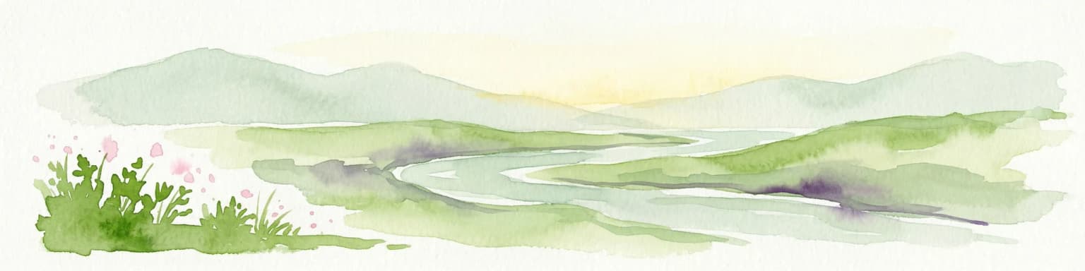
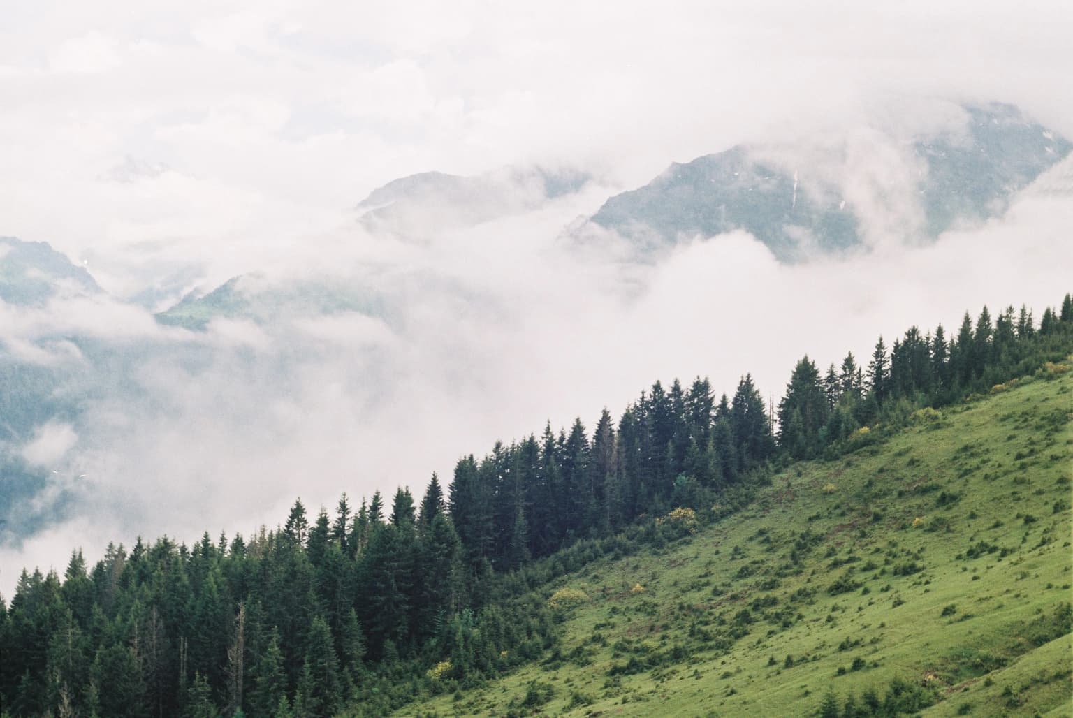
The Kaçkar landscape presents an impressive array of high-mountain landforms sculpted by glacial activity. The range features sharp pyramidal peaks, extensive cirques, and dramatic ridgelines that form the backbone of northeastern Turkey. Valley floors contain streams fed by snowmelt and glacial runoff, which descend through steep-walled canyons toward the Black Sea. Alpine meadows spread across valley bottoms and lower slopes during the brief summer growing season, while exposed rock and permanent snow occupy the highest elevations. The contrast between the lush, humid forests of lower elevations and the stark alpine zone above creates a visually striking environmental gradient.

Snow-covered mountain peaks under twilight sky with full moon visible above mountains and misty clouds below
Moonrise above snow-capped mountains with misty clouds below

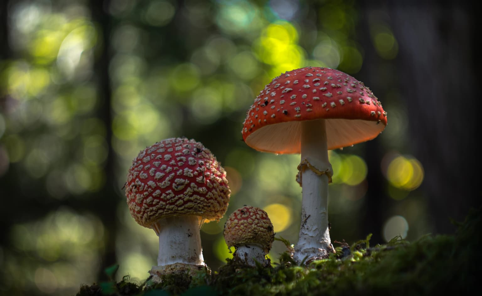
Kaçkar Mountains National Park ecosystems, habitats, and plant life

The Kaçkar Mountains occupy a biogeographically significant position at the convergence of several ecological zones. The vertical extent of the range—from near sea level to over 3,000 meters—creates diverse habitat conditions within a compact area. Lower slopes support rich deciduous and mixed forests characteristic of the Black Sea region, while subalpine zones give way to alpine meadows and eventually to sparse high-altitude vegetation. The park's position near the southern limit of many temperate species' ranges adds to its ecological importance.

Grassy valley with a stream flowing through rocky terrain toward snow-covered mountain peaks under a clear blue sky
Grassy alpine meadow with a meandering stream leading toward snow-capped mountain peaks under a clear blue sky

Kaçkar Mountains National Park wildlife and species highlights

The diverse habitats within the Kaçkar Mountains support a variety of wildlife species adapted to the region's varied elevations and microclimates. Alpine meadows provide summer grazing grounds for wild ungulates, while forest zones shelter numerous bird and mammal species. The region's position along potential migration routes adds to its ornithological significance.

Three red-capped mushrooms with white spots growing on moss in a forest

Kaçkar Mountains National Park conservation status and protection priorities

Kaçkar Mountains National Park represents an important conservation priority for Turkey's high-mountain ecosystems. The protected area preserves one of the country's most intact alpine landscapes, with its combination of glacial landforms, diverse habitats, and traditional cultural landscape. The park's designation reflects recognition that such high-altitude environments require formal protection to maintain their ecological integrity against development pressures and changing land-use patterns.

Kaçkar Mountains National Park cultural meaning and human context

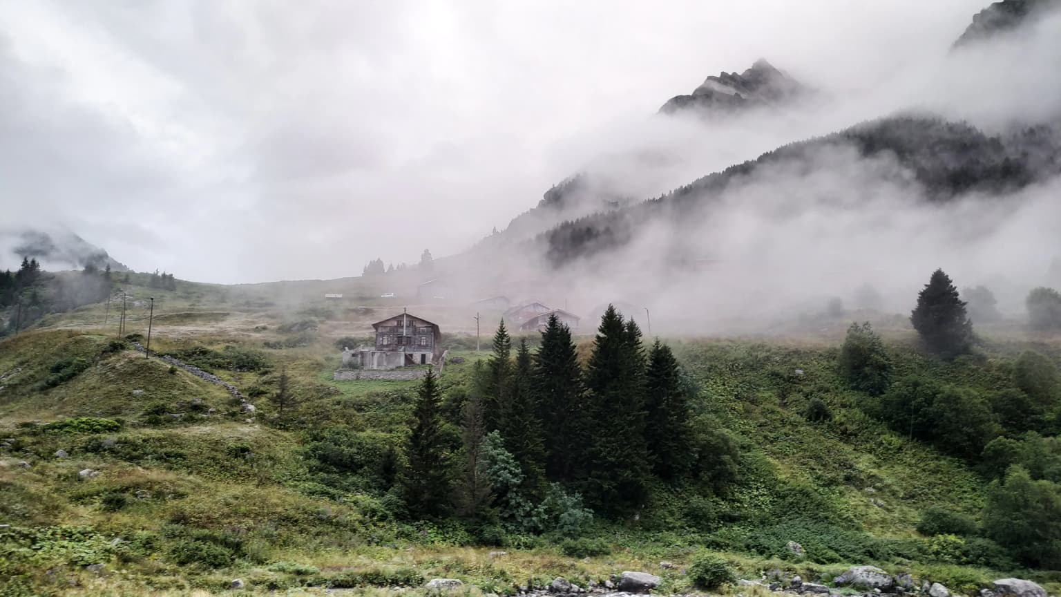
The Kaçkar highlands maintain strong connections to traditional Turkish highland culture. Yayla settlements—seasonal villages used during summer months—have been part of the regional landscape for centuries. These settlements represent a transhumant lifestyle where communities move livestock to high pastures during warmer months, utilizing the alpine meadows that lie within today's park boundaries. This cultural practice continues to shape the landscape and provides a living connection to the region's pastoral heritage.

Green mountain slope with coniferous forest, misty mountains in background, cloudy sky
Foggy view of Kaçkar Mountains from Gito plateau

Top sights and standout views in Kaçkar Mountains National Park

Kaçkar Mountains National Park offers access to one of Turkey's most spectacular alpine environments. The park's high peaks, glacial valleys, and traditional highland culture combine to create a distinctive mountain landscape. Visitors can experience dramatic ridgeline views, visit pristine highland lakes, and encounter the ongoing traditions of Yayla pastoralism that defines the cultural character of the Kaçkar highlands.

Misty landscape with grassy hills, scattered trees, and a building in the midground, with mountains partially obscured by fog
General view of Elevit Plateau

Best time to visit Kaçkar Mountains National Park

The summer months from June through September offer the most accessible conditions for exploring Kaçkar Mountains National Park, when snow-free trails allow access to higher elevations and alpine meadows are in bloom. Winter conditions are severe, with heavy snowfall and extreme cold limiting access to the high terrain. Spring and autumn provide transitional conditions but may involve variable weather and potential trail closures.

Park location guide

Geography guide, regional context, and park location map for Kaçkar Mountains National Park

Kaçkar Mountains National Park park geography, regions, and map view in Turkey
Understand where Kaçkar Mountains National Park sits in Turkey through a broader geographic reading of the surrounding landscape, nearby location context, and its mapped position within the national park landscape.

How Kaçkar Mountains National Park fits into Turkey

Turkey, officially the Republic of Türkiye, is a transcontinental country located mainly in Anatolia (West Asia) with a smaller portion in East Thrace (Southeast Europe). It borders the Black Sea to the north, several countries to the east and south, and the Aegean Sea and European countries to the west. The country has a population of over 86 million and operates as a secular, Muslim-majority presidential republic with Ankara as capital and Istanbul as its largest city.

Wider geography shaping Kaçkar Mountains National Park in Turkey

Turkey is a transcontinental country with the majority of its territory (about 97%) located in Anatolia (West Asia) and a smaller portion called East Thrace in Southeast Europe. It borders the Black Sea to the north, Georgia, Armenia, Azerbaijan, and Iran to the east, Iraq and Syria to the south, and the Mediterranean Sea to the southwest. To the west, Turkey borders the Aegean Sea, Greece, and Bulgaria. The terrain includes mountains, plateaus, and coastal plains, with the Taurus Mountains running along the southern coast.

Map view of Kaçkar Mountains National Park

Use this park location map to pinpoint Kaçkar Mountains National Park in Turkey, understand its exact geographic position, and read its mapped placement within the surrounding landscape more clearly.

Pigeon | © OpenStreetMap contributors

Visual Guide to Turkey's Glacier-Sculpted Peaks, Valleys, and Highland Ecosystems

Kaçkar Mountains National Park Photos: Explore Alpine Landscapes and Protected Scenery
Explore Kaçkar Mountains National Park through a curated collection of images showcasing its dramatic alpine scenery and protected landscapes. Visualizing these photos provides essential insights into the park's glacier-carved peaks, high-altitude habitats, and distinct environmental gradients, aiding a deeper understanding of this remarkable Turkish protected area.

Blue mountain lake reflecting rocky peaks with snow patches and cloudy sky

Snow-covered mountain peaks and a plateau with visible footprints or tracks under a clear blue sky.

Snow-covered mountain peaks under twilight sky with full moon visible above mountains and misty clouds below

Grassy valley with a stream flowing through rocky terrain toward snow-covered mountain peaks under a clear blue sky

Three red-capped mushrooms with white spots growing on moss in a forest

A mountain lake with turquoise water surrounded by rocky peaks with patches of snow, green meadows, and misty sky

Green mountain slope with coniferous forest, misty mountains in background, cloudy sky

Misty landscape with grassy hills, scattered trees, and a building in the midground, with mountains partially obscured by fog

Park atlas

Trace the regional geography of protected areas, comparing alpine environments and glacial landscapes throughout northeastern Turkey.

Browse Other National Parks and Protected Landscapes Near Kaçkar Mountains National Park in Turkey
After exploring Kaçkar Mountains National Park, discover other national parks and protected areas across Turkey, tracing similar mountain and glacial landscapes. Compare their unique alpine terrain, ecological features, and conservation profiles to understand the broader network of protected lands in the Black Sea region.
Watercolor illustration of a winding river through green hills with pink flowers in the foreground
National parkArtvin Province

Hatila Valley National Park: Dramatic V-Shaped Valley and Volcanic Terrain in Artvin Province

Explore protected landscape, waterfalls, and botanical diversity.

Hatila Valley National Park represents a significant protected area within Artvin Province, Turkey, notable for its exceptionally steep, V-shaped river valley. This national park features a striking volcanic landscape characterized by deep gorges, numerous waterfalls, and unique geomorphological structures. Its rich botanical diversity, with 769 documented plant species including many endemics, positions it as a key site for understanding protected landscapes and regional flora. The park's geographic setting at the eastern end of the Kaçkar Mountains provides context for its Mediterranean climate and varied terrain.

Area
169 km²
Established
1994
IUCN
II
Relief
Mountain
Watercolor painting depicting a mountain valley with rolling hills, forests, and a river
National parkAdjara

Machakhela National Park: Adjara's Colchic Forest Protected Landscape

Explore Georgia's unique Caucasus mountain geography and mapped park boundaries.

Machakhela National Park represents a crucial protected area in Georgia's Adjara region, safeguarding the integrity of ancient Colchic broadleaf forests. This park's landscape is characterized by the steep Machakhelistsqali River valley, carved into the lower Caucasus mountains, offering a distinct geographic profile for atlas exploration. Discover the park's specific terrain, mapped boundaries, and its ecological significance as a vital component of the regional natural heritage.

Area
130.7 km²
Established
2012
IUCN
II
Relief
Mixed relief
National parkBayburt Province

Mount Kop Defense National Historic Park: A Protected WWI Battlefield and Biodiversity Hotspot

Mapped protected area in Bayburt Province, Turkey.

Delve into Mount Kop Defense National Historic Park, a protected national park situated in the mountainous terrain of Bayburt Province, Turkey. This site is distinguished by its preserved World War I battlefield features and remarkable biodiversity, particularly its status as a critical habitat for numerous high-altitude butterfly species. Explore the mapped geography and unique conservation value of this significant protected landscape, understanding its distinct place within regional natural and historical atlases.

Area
6.335 km²
Established
2016
IUCN
II
Relief
Mountain
Watercolor illustration of a landscape with green hills, trees, and a body of water
National parkAdjara

Mtirala National Park: Protected Colchic Rainforest Landscape & Geographic Atlas

Explore Adjara's unique terrain and mapped protected boundaries.

Mtirala National Park, located in Georgia's Adjara region, is a protected national park renowned for its exceptionally high rainfall and ancient Colchic relict forests. This atlas-focused profile details the park's unique topography, its watershed between the Chakvistskali and Khoristskali rivers, and its significance as a vital ecosystem. Understand the geographic context of this protected landscape and its role in the broader Caucasus geography.

Area
281.26 km²
Established
2006
IUCN
II
Relief
Mixed relief
Watercolor painting showing mountains, trees, and a lake in soft green and blue tones
National parkArtvin Province

Karagöl-Sahara National Park: Mapped Highland Lake and Plateau Protected Area

Discover Artvin Province's unique landslide lake and alpine terrain.

Karagöl-Sahara National Park presents a compelling protected landscape in Artvin Province, Turkey, renowned for its dramatic landslide lake, Karagöl, and the expansive Sahara plateau. This national park provides a unique map of highland geography, featuring dense conifer forests that give way to alpine meadows at elevations around 1,800 meters. Examine the geological character, including active landslide zones and sedimentary formations, that shape this distinctive terrain and contribute to its protected ecological value within the Black Sea Region.

Area
32.51 km²
Established
1994
IUCN
II
Relief
Mountain
Watercolor illustration of a landscape with rolling hills, forests, and a winding river.
National parkAdjara

Kintrishi National Park: Protected Colchic Forest Canyon Landscape in Adjara

Explore the mapped geographic boundaries of this unique Georgian national park.

Kintrishi National Park, located in Georgia's Adjara region, is a protected landscape renowned for its exceptionally intact Colchic deciduous forests within a steep river gorge. This area showcases dense woodland, dramatic terrain, and the unique Colchican willow species, offering rich geographic context. As a key protected area, Kintrishi National Park provides a valuable focus for atlas-based exploration of southwestern Georgia's natural heritage.

Area
186.84 km²
Established
2007
IUCN
II
Scope
Terrestrial
Watercolor illustration showing a valley landscape with a lake, mountains, and grassy foreground
National parkTrabzon Province

Altındere Valley National Park: Discover its Dramatic Protected Landscape and Geography in Trabzon

Explore the unique cliff-side monastery and mountain terrain of this national park.

Altındere Valley National Park is a significant protected area within Turkey's Trabzon Province, renowned for its breathtaking geography. The park encompasses a dramatic valley in the Pontic Mountains, where the historic Sümela Monastery is famously situated on a sheer cliff face. Users can explore the mapped boundaries, distinct landscape features, and the regional context of this unique protected natural and cultural heritage site. This destination offers a compelling focus for understanding protected landscapes and their integration with the surrounding geography.

Area
44.68 km²
Established
1987
IUCN
II
Relief
Mountain
National parkTurkey

Sarıkamış-Allahuekber Mountains National Park: High-Altitude Protected Forest and WWI Memorial Landscape in Turkey

Explore the distinct protected terrain and historical geography of Turkey's eastern highlands.

Sarıkamış-Allahuekber Mountains National Park offers a unique exploration of high-altitude protected lands in Turkey. This national park is characterized by its remarkable pure Caucasian pine forests that thrive at elevations typically above the tree line, showcasing a rare alpine ecosystem. The park's rugged mountain terrain, marked by significant historical sites from the Battle of Sarikamish, provides a profound connection between natural landscape and human history within its mapped boundaries. Discover the geographic setting and protected status of this distinctive area.

Area
225.19 km²
Established
2004
IUCN
II
Relief
Mountain

Common questions about visiting, size, designation, and location context for Kaçkar Mountains National Park

Kaçkar Mountains National Park FAQs for park facts, access, geography, and protected area context
Find quick answers about Kaçkar Mountains National Park, including protected-area facts, park geography, trail and visitor context, and how the park fits into its surrounding country and regional landscape.
MoriAtlas Explorer

Continue Your Protected Areas Search Across the Global Atlas

Deepen your exploration by continuing the structured search for national parks and protected areas worldwide. Utilize the comprehensive filtering capabilities to compare different conservation landscapes and refine your understanding of global park geography. Discover more about the distribution and characteristics of protected natural areas.

Global natural geography