Mori Atlas logo
National parkKaragöl-Sahara National Park

Discover the mapped boundaries, alpine terrain, and unique landslide lake geography of this Artvin Province national park.

Karagöl-Sahara National Park: Protected Highland Landscape and Natural Lake in Artvin Province

(Karagöl-Sahara Milli Parkı)

Karagöl-Sahara National Park, situated in the highland regions of Artvin Province, Turkey, offers a distinct protected landscape centered around a striking landslide lake and a notable alpine plateau. Established to preserve this unique natural environment, the park showcases dramatic geological features, dense conifer forests meeting high-altitude meadows, and significant biodiversity. Explore its mapped terrain and discover the regional geographic context of this protected area, a vital component of Turkey's natural heritage.

National ParkTurkeyBlack Sea RegionArtvin ProvinceHighland LakesAlpine Ecosystems
Stylized illustration of a lake with surrounding pine forests and mountains under a partly cloudy sky

Karagöl-Sahara National Park

National park

Park overview

Structured park overview, official facts, and landscape profile for Karagöl-Sahara National Park

Karagöl-Sahara National Park park facts, protected area profile, and essential visitor context
Review the core facts for Karagöl-Sahara National Park, including designation, size, terrain, visitor scale, habitats, and operating context in one park-focused overview.

About Karagöl-Sahara National Park

Karagöl-Sahara National Park protects a remarkable highland landscape in the northeastern corner of Turkey, within the Black Sea Region's mountainous terrain. The park's name derives from its two principal components: Karagöl, meaning Black Lake in Turkish, and the Sahara plateau, a high-altitude area that provides sweeping views across the surrounding peaks. Established on August 31, 1994, the park covers roughly 3,250 hectares of mountainous terrain centered around 1,800 meters above sea level. The geological character of the area is dominated by Paleogene and Neogene sedimentary rocks, with extensive basalt coverage on the plateau areas. Around Karagöl, the terrain is deeply incised by valleys, creating conditions that favor active landslides and mass movements. The lake itself formed when a rotational landslide created a natural dam, trapping water in the basin behind the debris. This origin gives Karagöl its distinctive character as a mountain lake shaped by geological rather than glacial or volcanic processes. The surrounding slopes support dense forests of Oriental spruce and Caucasian fir, while the plateau areas feature alpine vegetation adapted to the harsh high-altitude conditions. The park lies within the Black Sea Region, which experiences humid conditions that support the conifer forests, though the higher elevations transition to alpine meadows and rocky terrain.

Quick facts and research context for Karagöl-Sahara National Park

Karagöl-Sahara National Park covers approximately 3,250 to 3,766 hectares in the highlands of Artvin Province, Turkey. The park consists of two separate areas: Karagöl, a landslide lake situated about 45 kilometers north of Şavşat town, and the Sahara plateau located 17 kilometers from the district center. The average elevation exceeds 1,800 meters, placing the park in the subalpine and alpine zones. The area experiences active geological processes, with landslides and mass movements shaping the terrain around Karagöl. The park supports a rich flora with over 560 plant species from 80 families, including 57 endemic species, and hosts diverse wildlife including bears, wolves, lynx, and numerous bird species.

Park context

Deeper park guide and search-rich context for Karagöl-Sahara National Park

Karagöl-Sahara National Park history, landscape, wildlife, and travel context
Explore Karagöl-Sahara National Park through its history, landscape character, ecosystems, wildlife, conservation priorities, cultural context, and seasonal travel timing in a structured park guide built for atlas discovery and search intent.

Why Karagöl-Sahara National Park stands out

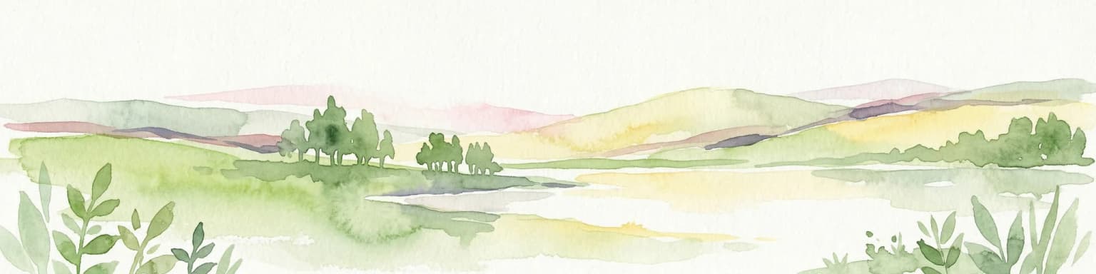
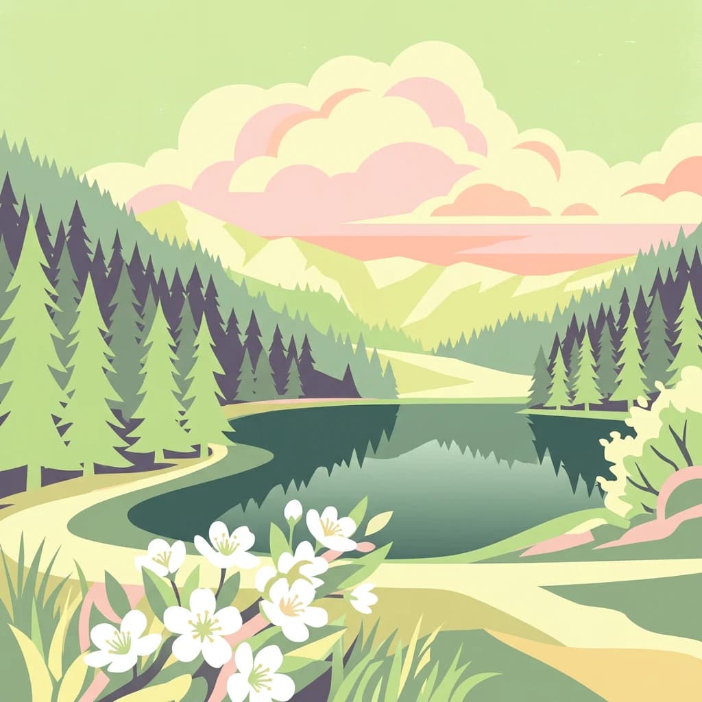
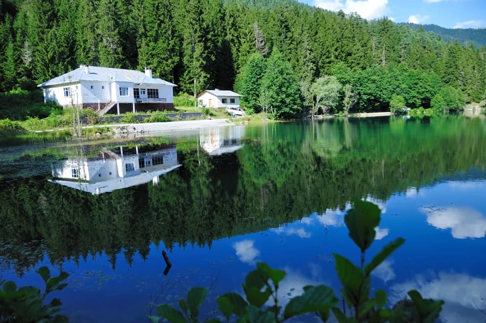
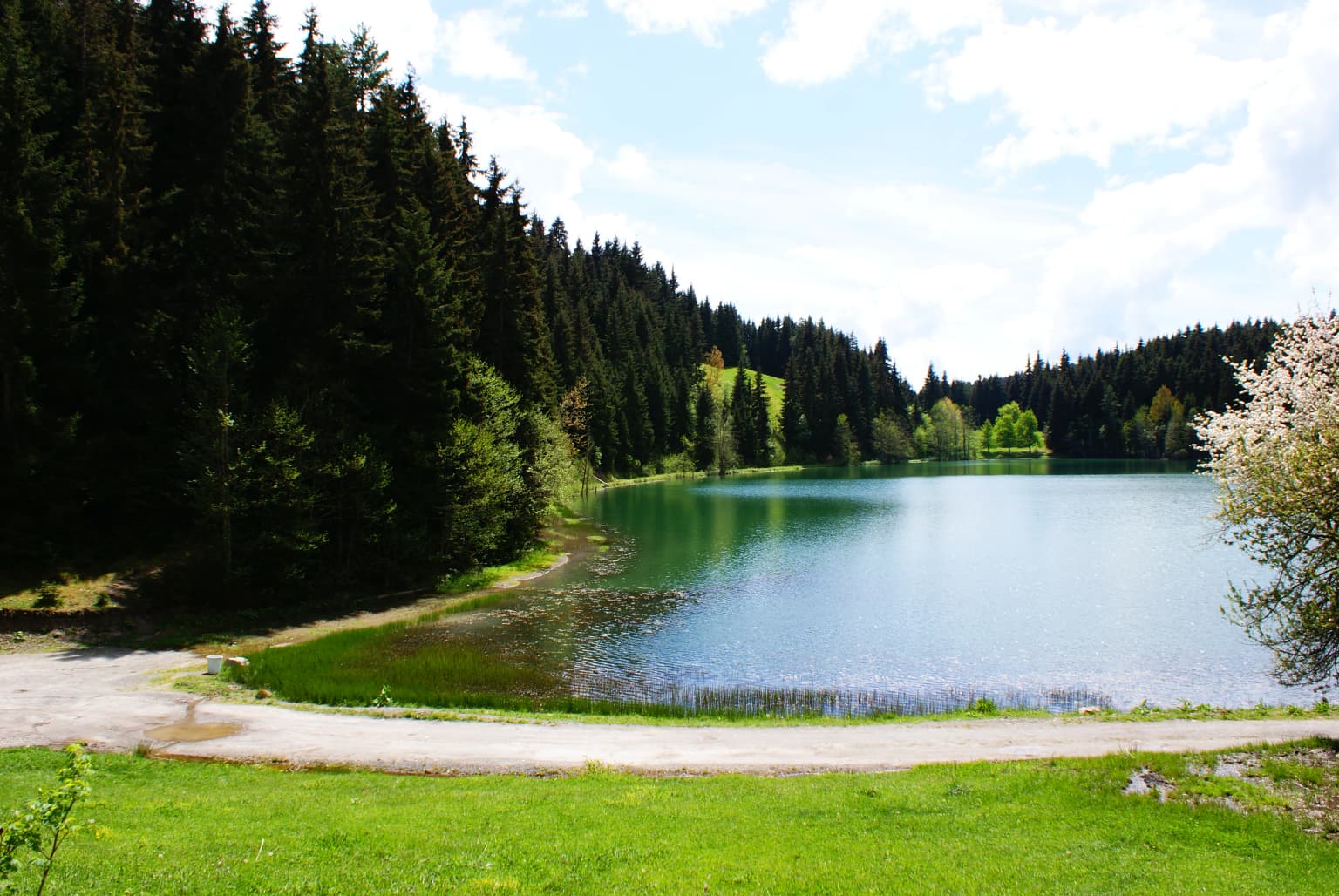
Karagöl-Sahara is best known for its dramatic highland setting, featuring one of Turkey's notable landslide lakes surrounded by dense Oriental spruce and Caucasian fir forests. The Sahara plateau at 1,700 to 1,800 meters elevation provides a contrasting landscape of alpine meadows and limited flat terrain in an otherwise steep mountainous region. The park's geological significance includes its Paleogene and Neogene sedimentary formations and the active landslide processes that created and continue to shape Karagöl lake. The combination of a natural mountain lake, alpine plateau landscapes, and rich biodiversity makes this park distinctive within Turkey's protected area system.

Calm lake reflecting white houses and dense forest with green trees
A serene lake reflecting two white houses and dense forest in Karagöl-Sahara National Park

Karagöl-Sahara National Park history and protected-area timeline

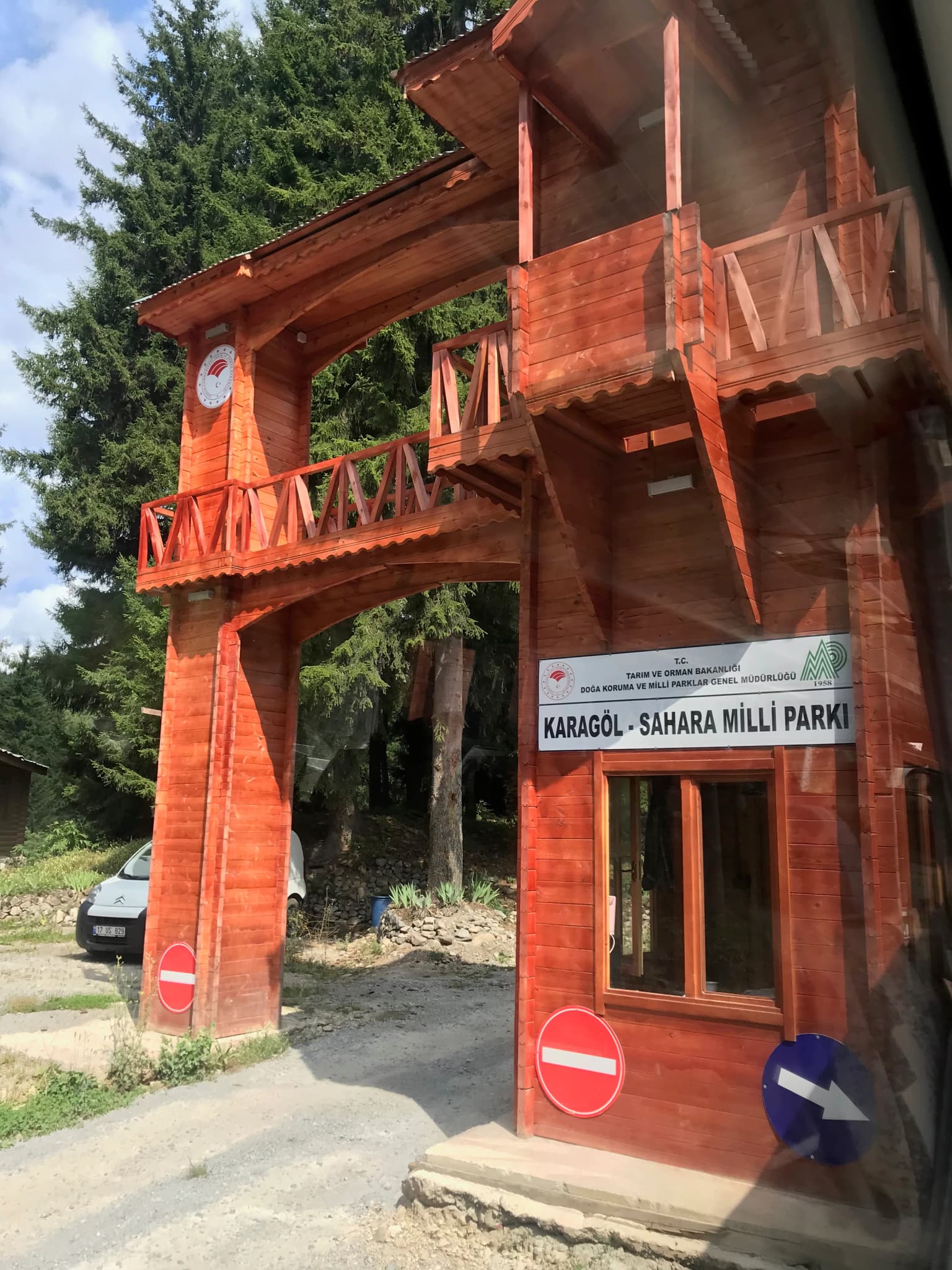
Karagöl-Sahara National Park was established on August 31, 1994, through designation by the Turkish Ministry of Forest and Water Management, becoming part of Turkey's national park system. The creation of the park responded to the need to protect the distinctive highland landscapes around Karagöl lake and the Sahara plateau, which had been subject to increasing recreational use and pressure on the natural environment. The region's history as a highland pasture area dates back centuries, with the plateau areas traditionally used for summer grazing by local communities. The creation of the protected area acknowledged both the geological significance of the landslide-formed Karagöl lake and the ecological value of the alpine and forest ecosystems. Management of the park falls under Turkey's national park administration, with the Ministry of Forest and Water Management overseeing protection and visitor access. The park continues to function as both a conservation area and a destination for highland recreation, with the Sahara plateau hosting the Sahara Carrot Festivals, a traditional celebration that draws visitors from beyond the immediate region.

Karagöl-Sahara National Park landscape and geographic character

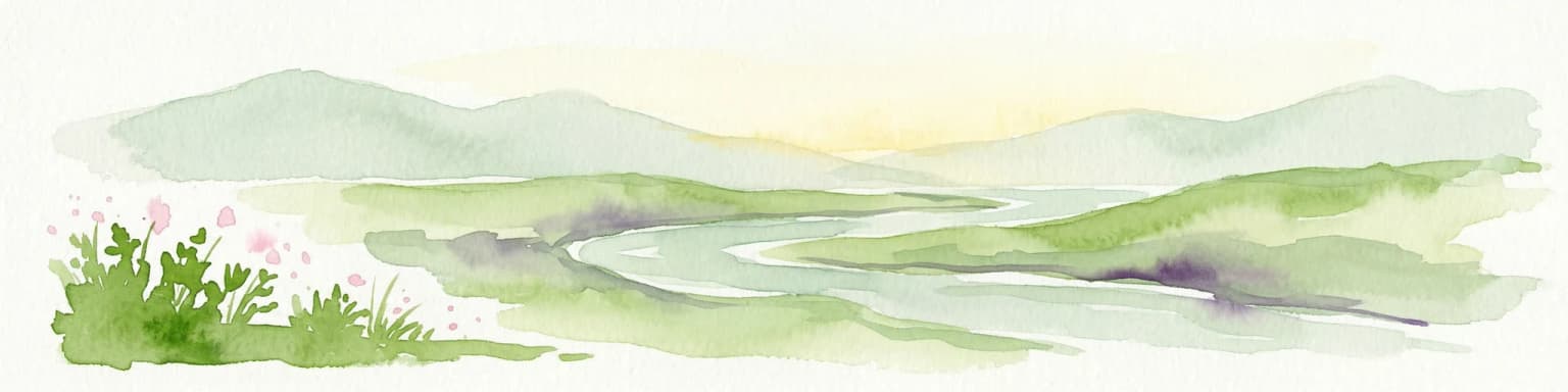
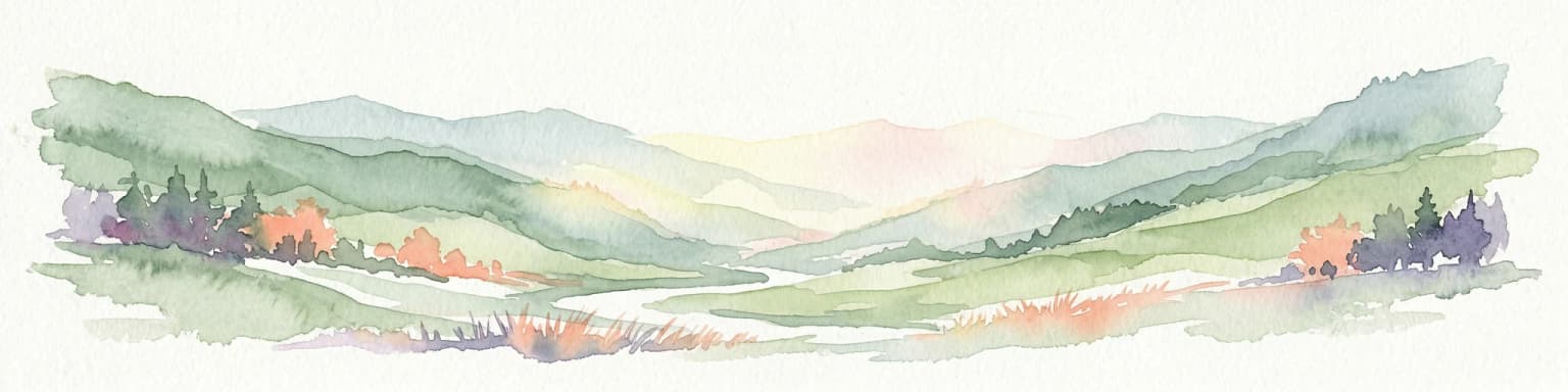
The landscape of Karagöl-Sahara National Park is defined by its high-altitude setting and the contrast between two distinct terrain types. Karagöl occupies a basin surrounded by forested slopes, with the lake itself forming a striking focal point where water meets dense conifer forest. The terrain around the lake shows clear evidence of landslide processes, with irregular topography and debris zones marking the events that created the lake. Valleys cut deeply into the surrounding terrain, creating steep-sided gorges and unstable slopes prone to mass movement. The Sahara plateau presents a markedly different character, representing one of the rare flat areas at this elevation in the rugged Black Sea highlands. Composed primarily of basalt with underlying Tertiary formations exposed where volcanic rocks have eroded, the plateau features gentle relief among the otherwise steep slopes. The sparse vegetation on the plateau accentuates the exposed rock and creates a landscape of open alpine meadows. Both areas share dramatic views across the surrounding mountains, with the combination of water, forest, and open highland creating a visually distinctive protected landscape.

A lake with clear blue water bordered by dense green forest and a paved path, under a partly cloudy sky
Karagöl lake surrounded by dense forest and a paved path under a partly cloudy sky

Karagöl-Sahara National Park ecosystems, habitats, and plant life

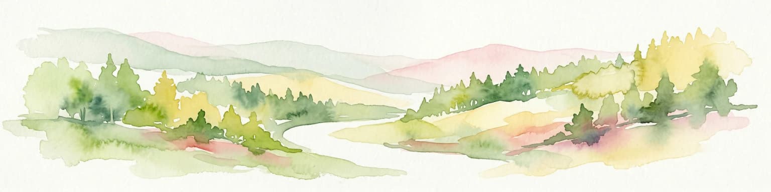
The nature of Karagöl-Sahara National Park reflects its position in the Black Sea Region's montane and subalpine zones. The park supports an impressive botanical diversity with over 560 plant species recorded from 80 families, including 57 endemic species that occur nowhere else. The forest composition is dominated by Oriental spruce, which forms the primary tree species on the slopes surrounding Karagöl, while Caucasian fir occurs in mixed stands. At lower elevations within the park, Scots pine becomes more prevalent, creating a vertical zonation in the forest cover. The alpine zone above approximately 1,700 meters on the Sahara plateau features sparse conifer woodlands transitioning to open meadows with species adapted to harsh high-altitude conditions. Near Karagöl itself, the lake supports wetland vegetation including small reeds and aquatic plants in the shallow margins. The park lies within a region that experiences the Black Sea's humid climate, which sustains the conifer forests even at these high elevations, creating an ecological character distinct from the more arid interior Anatolian plateaus.

Wooden archway entrance to Karagöl-Sahara National Park with sign reading KARAGÖL - SAHARA MILLİ PARKI, traffic signs, and forest background
Wooden entrance structure with official park signage at Karagöl-Sahara National Park

Karagöl-Sahara National Park wildlife and species highlights

The wildlife of Karagöl-Sahara National Park reflects the diverse habitats found in this highland protected area. Mammalian species present include brown bears, wolves, and lynx, representing the larger predators of the region, alongside more common species such as badgers, foxes, squirrels, rabbits, and wild boar. The combination of forest, alpine meadow, and lake habitats supports this carnivore community and their prey species. Birdlife is diverse, with species such as partridges, falcons, wild pigeons, crows, magpies, starlings, and jackdaws recorded within the park. The lake provides habitat for fish species including trout and carp, supporting both recreational fishing and aquatic food chains. Reptiles including various snakes, lizards, and turtles round out the vertebrate community. This fauna assemblage reflects the park's position in the Black Sea Region, where both European and Anatolian species ranges overlap, creating a mixed wildlife community typical of Turkey's northeastern mountains.

Karagöl-Sahara National Park conservation status and protection priorities

Karagöl-Sahara National Park represents an important protected area in Turkey's Black Sea Region, preserving both geological and ecological values in a single protected landscape. The park conserves Karagöl itself, a rare example of a landslide-formed lake in Turkey, along with the geological processes that continue to shape the terrain. The protection of the alpine and subalpine ecosystems on the Sahara plateau preserves habitats that are limited in extent across Turkey's mountainous regions. The botanical diversity, with 57 endemic plant species, underscores the ecological significance of the area and the need for continued protection of these specialized alpine and montane communities. By encompassing both the lake basin and the highland plateau, the park protects a complete altitudinal gradient from forest to alpine zone. The establishment of the park in 1994 formalized protection for an area that had been used for summer grazing and recreation, recognizing that sustainable management was needed to preserve the natural values that attract visitors to this distinctive highland landscape.

Karagöl-Sahara National Park cultural meaning and human context

The Karagöl-Sahara region has historically served as a summer grazing area for communities in the Şavşat district, with the highland pastures providing seasonal forage for livestock during the warmer months. The plateau areas, including the Sahara, represent traditionalTranshumance zones where herders moved their animals to escape the heat of lower elevations. This pastoral use has shaped the landscape over centuries, creating the semi-natural alpine meadows that characterize parts of the plateau today. The Sahara plateau continues to host the annual Sahara Carrot Festivals, a cultural celebration that brings together both local residents and visitors from beyond the district. This event provides economic benefits to the region through tourism and celebrates the cultural heritage of highland pastoralism. The park's proximity to Şavşat town, approximately 45 kilometers by road, connects the protected area to the local community, though much of the park's area remains undeveloped with limited infrastructure.

Top sights and standout views in Karagöl-Sahara National Park

Karagöl-Sahara National Park's most distinctive feature is Karagöl itself, a natural landslide lake surrounded by dark conifer forests at nearly 2,000 meters elevation, creating a striking visual combination of water, forest, and mountain. The Sahara plateau provides access to alpine landscapes with sweeping views across the Black Sea highlands, representing one of the few accessible high-elevation plateaus in the region. The park protects significant biodiversity, with over 560 plant species including 57 endemics, and provides habitat for brown bears, wolves, and lynx within its boundaries. The geological significance of the landslide-formed lake and active slope processes adds scientific value to the scenic attractions. The park also preserves the cultural tradition of highland pastoralism, with the annual Sahara Carrot Festivals maintaining connections to the region's rural heritage.

Best time to visit Karagöl-Sahara National Park

Karagöl-Sahara National Park can be visited throughout the warmer months from late spring through early autumn, when the high-elevation trails and plateau areas are accessible and the weather allows for outdoor activities. Summer months bring the most stable conditions for exploring both the lake area and the plateau, though they also coincide with the highest visitor numbers. The Sahara Carrot Festivals, held on the plateau during the summer season, draw additional visitors seeking to experience local cultural traditions. Spring and early summer bring blooming alpine flora, while autumn offers changing colors in the surrounding forests. Winter access is limited due to snow at the higher elevations, though the ski slope at Bagat near Karagöl suggests potential for winter recreation when conditions permit. The high elevation means that visitors should prepare for cooler temperatures than in the lower valleys, even during summer.

Park location guide

Geography guide, regional context, and park location map for Karagöl-Sahara National Park

Karagöl-Sahara National Park park geography, regions, and map view in Turkey
Understand where Karagöl-Sahara National Park sits in Turkey through a broader geographic reading of the surrounding landscape, nearby location context, and its mapped position within the national park landscape.

How Karagöl-Sahara National Park fits into Turkey

Turkey, officially the Republic of Türkiye, is a transcontinental country located mainly in Anatolia (West Asia) with a smaller portion in East Thrace (Southeast Europe). It borders the Black Sea to the north, several countries to the east and south, and the Aegean Sea and European countries to the west. The country has a population of over 86 million and operates as a secular, Muslim-majority presidential republic with Ankara as capital and Istanbul as its largest city.

Wider geography shaping Karagöl-Sahara National Park in Turkey

Turkey is a transcontinental country with the majority of its territory (about 97%) located in Anatolia (West Asia) and a smaller portion called East Thrace in Southeast Europe. It borders the Black Sea to the north, Georgia, Armenia, Azerbaijan, and Iran to the east, Iraq and Syria to the south, and the Mediterranean Sea to the southwest. To the west, Turkey borders the Aegean Sea, Greece, and Bulgaria. The terrain includes mountains, plateaus, and coastal plains, with the Taurus Mountains running along the southern coast.

Map view of Karagöl-Sahara National Park

Use this park location map to pinpoint Karagöl-Sahara National Park in Turkey, understand its exact geographic position, and read its mapped placement within the surrounding landscape more clearly.

Pigeon | © OpenStreetMap contributors

Location context for Karagöl-Sahara National Park

Artvin Province

Visually Explore Karagöl-Sahara National Park: Diverse Highland Landscapes, Lake Scenery, and Alpine Habitats

Karagöl-Sahara National Park: Explore Visual Landscapes, Scenery, and Protected Area Photos
Browse a curated collection of imagery to visualize Karagöl-Sahara National Park's unique blend of a dramatic landslide lake, dense conifer forests, and expansive alpine plateaus. These photographs provide essential insights into the park's diverse terrain, ecological zones, and overall protected landscape character, helping you understand its visual identity.

Calm lake reflecting white houses and dense forest with green trees

A large lake with calm blue water bordered by dense green forests and distant mountains under a partly cloudy sky

A lake with clear blue water bordered by dense green forest and a paved path, under a partly cloudy sky

Wooden archway entrance to Karagöl-Sahara National Park with sign reading KARAGÖL - SAHARA MILLİ PARKI, traffic signs, and forest background

Park atlas

Trace the broader geographic context and diverse protected landscapes across Artvin Province, mapping their regional spread.

Discover Related National Parks and Protected Areas Near Karagöl-Sahara National Park in Turkey's Artvin Province
Explore national parks and protected areas adjacent to Karagöl-Sahara National Park, revealing the diverse highland lakes, conifer forests, and alpine landscapes characteristic of Turkey's northeastern Black Sea Region. Expanding your view helps compare regional protected areas, trace geological similarities, and understand the broader geographic context of conservation efforts across Artvin Province.
Watercolor illustration of a winding river through green hills with pink flowers in the foreground
National parkArtvin Province

Hatila Valley National Park: Dramatic V-Shaped Valley and Volcanic Terrain in Artvin Province

Explore protected landscape, waterfalls, and botanical diversity.

Hatila Valley National Park represents a significant protected area within Artvin Province, Turkey, notable for its exceptionally steep, V-shaped river valley. This national park features a striking volcanic landscape characterized by deep gorges, numerous waterfalls, and unique geomorphological structures. Its rich botanical diversity, with 769 documented plant species including many endemics, positions it as a key site for understanding protected landscapes and regional flora. The park's geographic setting at the eastern end of the Kaçkar Mountains provides context for its Mediterranean climate and varied terrain.

Area
169 km²
Established
1994
Relief
Mountain
Climate
Mediterranean
Watercolor illustration of a landscape with rolling hills, forests, and a winding river.
National parkAdjara

Kintrishi National Park: Protected Colchic Forest Canyon Landscape in Adjara

Explore the mapped geographic boundaries of this unique Georgian national park.

Kintrishi National Park, located in Georgia's Adjara region, is a protected landscape renowned for its exceptionally intact Colchic deciduous forests within a steep river gorge. This area showcases dense woodland, dramatic terrain, and the unique Colchican willow species, offering rich geographic context. As a key protected area, Kintrishi National Park provides a valuable focus for atlas-based exploration of southwestern Georgia's natural heritage.

Area
186.84 km²
Established
2007
IUCN
II
Scope
Terrestrial
National parkAdjara

Machakhela National Park: Adjara's Colchic Forest Protected Landscape

Explore Georgia's unique Caucasus mountain geography and mapped park boundaries.

Machakhela National Park represents a crucial protected area in Georgia's Adjara region, safeguarding the integrity of ancient Colchic broadleaf forests. This park's landscape is characterized by the steep Machakhelistsqali River valley, carved into the lower Caucasus mountains, offering a distinct geographic profile for atlas exploration. Discover the park's specific terrain, mapped boundaries, and its ecological significance as a vital component of the regional natural heritage.

Area
130.7 km²
Established
2012
IUCN
II
Relief
Mixed relief
Watercolor illustration of a landscape with green hills, trees, and a body of water
National parkAdjara

Mtirala National Park: Protected Colchic Rainforest Landscape & Geographic Atlas

Explore Adjara's unique terrain and mapped protected boundaries.

Mtirala National Park, located in Georgia's Adjara region, is a protected national park renowned for its exceptionally high rainfall and ancient Colchic relict forests. This atlas-focused profile details the park's unique topography, its watershed between the Chakvistskali and Khoristskali rivers, and its significance as a vital ecosystem. Understand the geographic context of this protected landscape and its role in the broader Caucasus geography.

Area
281.26 km²
Established
2006
IUCN
II
Relief
Mixed relief
Watercolor painting of green and pink mountain ranges under a light sky background
National parkSamtskhe–Javakheti

Javakheti National Park: Protected Highland Landscape and Wetland Atlas

Explore the unique geography and mapped park boundaries of this Georgian protected area.

Delve into Javakheti National Park, a significant protected landscape located in Georgia's Samtskhe, Javakheti region. This page serves as an entry point for understanding the park's distinctive highland terrain, its remarkable chain of lakes and marshes, and its protected area status. Explore the geographic context of this national park, its role in wetland conservation, and its value for structured atlas-based discovery of natural landscapes.

Area
238.53 km²
Established
2011
IUCN
II
Relief
Mixed relief
National parkGeorgia

Borjomi-Kharagauli National Park: Protected Landscape Atlas of Georgia's Lesser Caucasus

Explore its unique forests, wildlife, and mountain terrain.

Delve into Borjomi-Kharagauli National Park, a significant protected area in Georgia's Lesser Caucasus region. This national park is renowned for its extensive old-growth forests, including rare Colchian fragments, and a remarkable concentration of endemic species. The park's dramatic mountainous terrain, spanning over 1,000 square kilometers, offers a rich tapestry of landscapes from deep valleys to alpine meadows, providing critical habitat for large mammals and contributing significantly to the region's biodiversity. Explore its mapped boundaries and geographic context for a deeper understanding of this vital conservation landscape.

Area
1,093 km²
Established
1995
IUCN
II
Relief
Mountain
National parkShirak Province

Lake Arpi National Park: High-Altitude Wetland Protected Landscape in Shirak Province

Mapped boundaries of an important South Caucasus conservation area.

Lake Arpi National Park offers a unique window into high-altitude wetland ecosystems on the Shirak and Javakheti plateau, located at roughly 2000 meters above sea level. Established as a national park in 2009, it protects critical habitats, including the central Lake Arpi, and serves as a vital sanctuary for numerous bird species. This protected area is distinguished by its alpine meadows, significant bird populations, and its distinct geographic setting within Armenia's northwestern region, providing rich context for atlas-based exploration of protected lands.

Area
250 km²
Established
2009
IUCN
II
Relief
Mountain
National parkTurkey

Sarıkamış-Allahuekber Mountains National Park: High-Altitude Protected Forest and WWI Memorial Landscape in Turkey

Explore the distinct protected terrain and historical geography of Turkey's eastern highlands.

Sarıkamış-Allahuekber Mountains National Park offers a unique exploration of high-altitude protected lands in Turkey. This national park is characterized by its remarkable pure Caucasian pine forests that thrive at elevations typically above the tree line, showcasing a rare alpine ecosystem. The park's rugged mountain terrain, marked by significant historical sites from the Battle of Sarikamish, provides a profound connection between natural landscape and human history within its mapped boundaries. Discover the geographic setting and protected status of this distinctive area.

Area
225.19 km²
Established
2004
Relief
Mountain
Scope
Terrestrial

Common questions about visiting, size, designation, and location context for Karagöl-Sahara National Park

Karagöl-Sahara National Park FAQs for park facts, access, geography, and protected area context
Find quick answers about Karagöl-Sahara National Park, including protected-area facts, park geography, trail and visitor context, and how the park fits into its surrounding country and regional landscape.
MoriAtlas Explorer

Continue Your Protected Areas Search Across the Global Atlas

Deepen your exploration by continuing the structured search for national parks and protected areas worldwide. Utilize the comprehensive filtering capabilities to compare different conservation landscapes and refine your understanding of global park geography. Discover more about the distribution and characteristics of protected natural areas.

Global natural geography