Why Uluru-Kata Tjuta National Park stands out
Uluru stands as one of Australia's most recognizable natural landmarks, a massive red rock formation that changes colour dramatically throughout the day as sunlight shifts across its surface. The surrounding Kata Tjuta formation, located 32 kilometres to the west, presents a collection of steep-sided domes composed of conglomerate rock that contrast with Uluru's singular mass. The park is renowned for its deep Aboriginal cultural significance, with the landscape embodying Tjukurpa, the traditional law and spiritual philosophy of the Anangu people. Visitors come from around the world to witness sunrise and sunset experiences at Uluru, when the rock's surface glows with vivid orange, red, and purple hues.
Uluru-Kata Tjuta National Park history and protected-area timeline
The region has been continuously inhabited by Aboriginal people for at least 30,000 years, with the Anangu people's connection to this country extending back through countless generations. European exploration of the region began in the 1870s, with William Gosse becoming the first non-Indigenous person to sight Uluru in 1872, naming it Ayers Rock after the South Australian Chief Secretary. The area was declared a national reserve in 1958, with the dual name Uluru-Kata Tjuta officially adopted in 1993 following negotiations with traditional owners. The park was inscribed on the UNESCO World Heritage List in 1987 for its outstanding universal natural values, and in 1994 became one of only a handful of sites to receive additional recognition for cultural landscape values. Management of the park transitioned to joint governance between the Australian government and Anangu traditional owners in 1985, when the Anangu people were granted formal land rights.
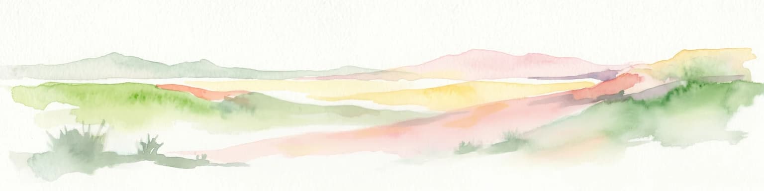
Uluru-Kata Tjuta National Park landscape and geographic character
The park encompasses a stark yet visually arresting desert landscape characterised by red sand dunes, sparse vegetation, and the dramatic presence of massive sandstone formations. Uluru rises like a sentinel from the surrounding plains, its smooth, rounded dome presenting different profiles depending on the viewing angle. The rock contains numerous caves, crevices, and waterholes that hold deep cultural meaning. Kata Tjuta, situated in the dried bed of an ancient river system, comprises 36 steep-sided domes made of conglomerate rock, a mixture of boulders, pebbles, and sand cemented by mineral deposits. The valley between Uluru and Kata Tjuta contains sand hills and mulga woodlands, while the broader park contains ephemeral drainage lines that flow only after rare rainfall events. The interplay of light on these ancient rock formations, particularly at sunrise and sunset, creates one of Australia's most photographed natural scenes.
Uluru-Kata Tjuta National Park ecosystems, habitats, and plant life
Despite the harsh desert environment, the park supports a surprising diversity of life adapted to the extreme conditions. The semi-arid landscape contains a complex of sand dune systems, rocky plains, and hills that create varied microhabitats. Vegetation communities include spinifex grasslands on the sandplains, mulga woodlands along the valleys, and scattered stands of desert oak and bloodwood trees. The park lies at the meeting point of several biogeographic regions, creating an mixture of species from different climatic zones. After rainfall, the desert transforms dramatically, with wildflowers blooming across the plains and waterholes filling with life. The park's ecological significance has been recognised through its inclusion in theAustralian National Heritage List.
Uluru-Kata Tjuta National Park wildlife and species highlights
The desert environment supports a range of wildlife species adapted to survive in conditions of extreme heat and limited water. Mammals common to the area include red kangaroos, euros (wallaroos), and several small marsupials such as the mulgara and hopping mouse. Over 170 bird species have been recorded in the park, including the Chestnut-breasted Whiteface, a bird endemic to the sandstone landscapes of central Australia. Reptiles are particularly diverse, with numerous lizard species including goannas, skinks, and dragons making their home among the rock formations and surrounding plains. Invertebrates, including ants, beetles, and spiders, form the base of the desert food web. Many species have evolved behavioural adaptations to avoid the hottest parts of the day, emerging to forage during cooler periods.
Uluru-Kata Tjuta National Park conservation status and protection priorities
Uluru-Kata Tjuta National Park represents a landmark example of collaborative conservation management between Indigenous traditional owners and government agencies. The park's World Heritage status recognises both its natural and cultural values, establishing a framework for protecting this living cultural landscape. Management efforts focus on balancing visitor access with protection of sensitive cultural sites and natural values, including controlling visitor numbers in certain areas and prohibiting climbing on Uluru since 2019. Fire management practices incorporate both Western scientific understanding and traditional Indigenous burning knowledge. Weed control programs target invasive species that threaten native vegetation communities. The park also plays a role in broader landscape-scale conservation across central Australia's desert ecosystems.
Uluru-Kata Tjuta National Park cultural meaning and human context
The Anangu people maintain deep spiritual connections to Uluru and Kata Tjuta that extend far beyond Western notions of landscape protection. The Tjukurpa law, the foundation of Anangu spiritual and practical life, governs relationships between people, the land, and all living things. Many locations within the park hold specific cultural significance, including rock shelters used for ceremonies, waterholes with particular meaning, and areas where certain stories of the Dreamtime were enacted. Traditional owners have spoken clearly about the importance of respecting this place, which remains a living cultural landscape rather than a historical relic. The park's interpretation programs aim to share Anangu perspectives with visitors while respecting cultural protocols about what can and cannot be publicly discussed.
Top sights and standout views in Uluru-Kata Tjuta National Park
The sunrise and sunset viewing experiences at Uluru rank among Australia's most iconic natural experiences, with the rock's colour transformation drawing visitors from around the world. The base walk around Uluru, a 10.6 kilometre trail, provides opportunities to appreciate the rock's scale, discover rock art sites, and learn about the landscape's cultural significance. The Valley of the Winds walk at Kata Tjuta offers a more challenging hiking experience through dramatic gorges and between the ancient domes. Cultural experiences led by Anangu guides provide insights into traditional life, bush food, and Tjukurpa stories. The Maruku Arts centre at the nearby Aboriginal township of Mutitjulu showcases Aboriginal art and crafts. Night sky programs reveal the southern hemisphere's celestial wonders, with the desert's dark skies offering exceptional stargazing opportunities.
Best time to visit Uluru-Kata Tjuta National Park
The cooler months from May to September offer the most comfortable conditions for exploring the park, with daytime temperatures generally ranging from 20 to 30 degrees Celsius. Winter nights can be cold, sometimes approaching freezing, so warm clothing is advisable for early morning excursions. Summer from November to March brings extreme heat, with temperatures regularly exceeding 40 degrees Celsius and limited shade available on walking tracks. The park remains open year-round, though some tracks may close during periods of extreme heat or after heavy rain. The shoulder seasons of autumn and spring provide a balance of pleasant temperatures and fewer visitors, though conditions can be variable. Regardless of season, the iconic sunrise and sunset experiences at Uluru remain popular, and accommodation should be booked well in advance, especially during school holiday periods.