Mori Atlas logo
Countries

Browse and map the protected lands and natural landscapes of the Netherlands.

Netherlands National Parks and Protected Areas: A Geographic Atlas Explorer

Embark on a geographic exploration of the Netherlands through its protected natural areas and national parks. This atlas-based platform allows you to discover the mapped boundaries and regional distribution of conservation landscapes across the country. Understand the natural terrain and geographic context of Netherlands' significant protected lands, providing a structured overview for detailed landscape exploration.

Netherlands National Parks and Protected Areas: A Geographic Atlas Explorer
About

Navigate the Mapped Landscapes and Conservation Regions Across the Low-Lying European Country

Explore Netherlands National Parks and Protected Areas: A Geographic Atlas
The Netherlands serves as an essential geographic entry point for discovering its network of national parks and other protected areas. Explore the distribution of key conservation landscapes, including extensive wetlands, diverse heathlands, and coastal environments, through detailed atlas insights for this northwestern European nation.

The Netherlands is a low-lying coastal country in Northwestern Europe, famous for its extensive dike and canal systems that reclaim land from the sea. It consists of twelve provinces and is known for tulips, windmills, and cycling culture. The country is a founding member of the European Union with Amsterdam as its capital and The Hague as the seat of government.

The Netherlands, informally called Holland, is a constituent country within the Kingdom of the Netherlands. It occupies a position in Northwestern Europe along the North Sea and is characterized by its flat terrain, with significant portions of land reclaimed from the sea through extensive water management systems. The country has a population of over 18 million and is known for its high standard of living, robust economy, and cultural contributions in areas such as art, architecture, and policy-making.

Largest city:Amsterdam
Currency code:EUR
ISO code:NL
Parks count
25
Capital
Amsterdam
Area
41,865 km²
Population
18,044,027 (2,025)
Elevation
870 m

Coastal
Island
Mountainous
Landlocked
Park atlas25 parks

MoriAtlas presents the mapped geography of national parks and protected areas across the Netherlands.

National Parks in Netherlands: Explore Protected Landscapes and Natural Areas
Browse a structured atlas of national parks and protected areas throughout the Netherlands, a low-lying country known for its unique landscapes. This country-level view allows for comprehensive exploration of Dutch conservation efforts, encompassing diverse ecosystems such as wetlands, heathlands, and coastal nature reserves, offering detailed geographic context for each site.
National parkAndalusia

Sierra Nevada National Park: Protected Alpine Terrain and Geographic Context in Andalusia

Explore Spain's highest mountain range mapped across Andalusia's atlas.

Sierra Nevada National Park offers a profound exploration of Spain's highest alpine environments and a significant entry in the regional geography atlas. This protected area showcases classic glacial landforms, U-shaped valleys, and numerous high-mountain lakes, alongside a remarkable abundance of endemic plant species thriving in its unique microclimates. Understanding its mapped boundaries reveals a landscape vital for both biodiversity and watershed, situated prominently within the broader geographic context of Andalusia.

Area
858.83 km²
Established
1999
IUCN
II
Relief
Mountain
Watercolor painting of rolling hills, green trees, and a winding path
National parkGelderland

De Hoge Veluwe National Park: Mapped Protected Landscape & Geographic Atlas Context

Explore Gelderland's unique heathland, sand dune, and woodland terrain.

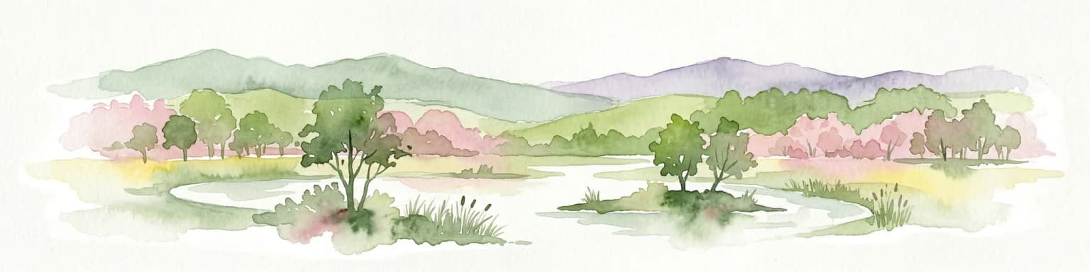
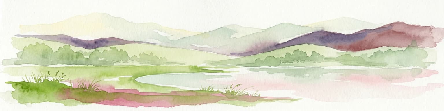
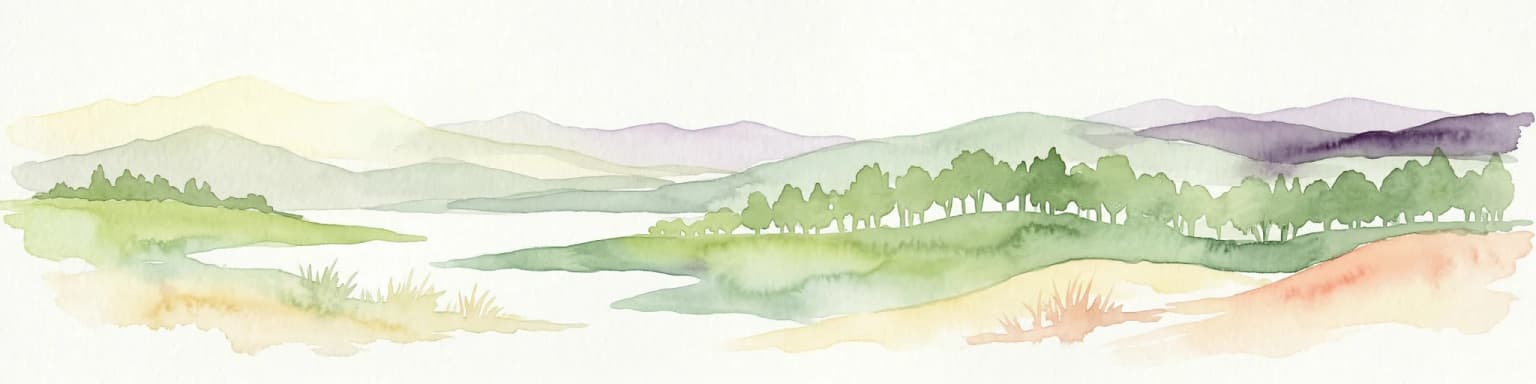
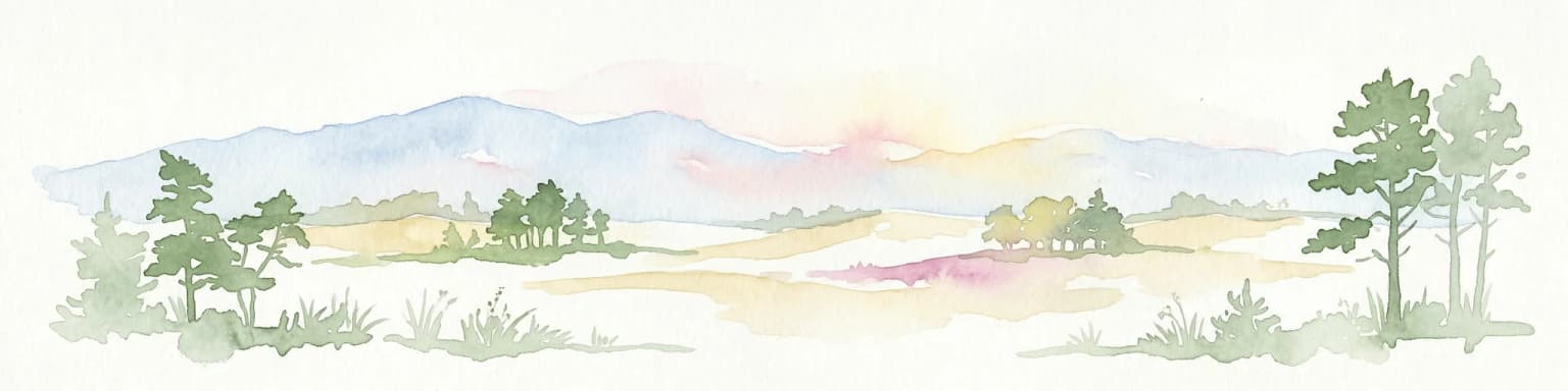
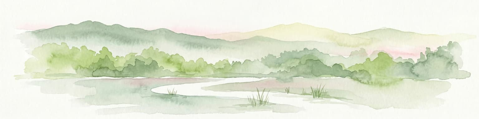
De Hoge Veluwe National Park represents a distinctive protected area within the Gelderland region of the Netherlands. Its landscape is characterized by a unique mosaic of heathlands, sand dunes, and woodlands, shaped by ice age processes and historical land use. This page offers an atlas-focused exploration of its geographic setting, mapped boundaries, and the specific terrain that defines this significant natural and cultural heritage site.

Area
55 km²
Established
1935
IUCN
II
Visitors
629.4K annual
Watercolor illustration showing a network of rivers, trees, and hills in a wetland landscape
National park

De Biesbosch National Park: A Dutch National Park Mapping Tidal Wetlands and Flood Forests

Explore mapped waterways and diverse protected landscapes.

Delve into the geography of De Biesbosch National Park, a remarkable protected area in the Netherlands renowned for its extensive freshwater tidal wetlands. This national park showcases a unique landscape defined by intricate river systems, dominant willow flood forests, and vital reed beds, serving as a critical habitat for migratory birds and a prime example of wetland restoration. Understand its place within the regional geography through our atlas-driven approach to protected land discovery.

Area
90 km²
Established
1994
IUCN
II
Relief
Lowland
Watercolor illustration of a coastal landscape with marshy areas, calm water, and distant hills
National parkZeeland

Oosterschelde National Park: A Dynamic Tidal Marine Ecosystem in Zeeland, Netherlands

Explore the geography of Netherlands' largest protected tidal landscape.

Oosterschelde National Park represents a unique intersection of natural dynamism and human engineering within the Zeeland province. As the Netherlands' largest national park, it safeguards a vast tidal lagoon system characterized by its profound tidal flats and sandbanks that transform landscape twice daily. This protected area offers a remarkable case study in coastal geography and marine conservation, with its rich ecosystems supporting diverse wildlife and providing excellent opportunities for sport diving and birdwatching. Delve into the mapped context of this significant Dutch protected landscape.

Area
370 km²
Established
2002
IUCN
II
Relief
Lowland
National parkLimburg

Hoge Kempen National Park: National Park Protected Landscape and Limburg Geographic Context

Explore mapped boundaries within the Limburg region.

Gain a comprehensive understanding of Hoge Kempen National Park as a distinct protected national park. This resource provides critical insights into its geographic setting within the Limburg region, detailing its mapped boundaries and overall landscape context. It serves as an essential point for atlas exploration, allowing users to appreciate the park's role as a protected natural area and its place within the regional geography of Belgium.

Area
67 km²
Established
2006
IUCN
II
Watercolor illustration of rolling hills, a winding river, and distant mountains under a pale sky
National parkFriesland

Schiermonnikoog National Park: Protected Landscape and Geographic Atlas

Explore its unique dune systems, salt marshes, and Wadden Sea context.

Schiermonnikoog National Park in Friesland is a testament to actively evolving coastal geography, showcasing dynamic dune formations, extensive salt marshes, and diverse natural habitats. As a protected landscape within the UNESCO Wadden Sea, it offers a unique focus for understanding regional protected areas and the intricate interplay of wind, water, and sediment shaping the North Sea coastline. Discover the park's ecological significance and its mapped terrain through MoriAtlas's structured geographic exploration.

Area
54 km²
Established
1989
IUCN
II
Relief
Lowland
National parkNorth Holland

Duinen van Texel National Park: Protected Coastal Dune and Wetland Atlas

Explore the mapped geography and protected landscape of North Holland.

The Duinen van Texel National Park offers a rich exploration of protected coastal dunes and dynamic wetland environments on Texel Island. This atlas-focused page details the park's unique landscape features, including active dune formation at De Hors and the tidal Slufter valley. Understanding its geographic context within North Holland provides a crucial aspect of its protected area status and ecological significance for regional mapped terrain.

Area
43 km²
Established
2002
IUCN
II
Visitors
265K annual
Watercolor painting of a wetland scene with a winding river, grassy areas, and distant hills
National parkOverijssel

Weerribben-Wieden National Park: A Premier Lowland Peat Bog National Park in Overijssel

Explore mapped protected wetlands and unique hydrological landscapes.

Weerribben-Wieden National Park stands as a remarkable example of a large-scale lowland peat bog ecosystem, recognized as the most extensive and well-preserved in Northwestern Europe. Located in the Overijssel province, this protected area showcases a complex mosaic of interconnected waterways, expansive reed beds, and marshy woodlands. Our platform provides structured geographic context, enabling detailed map-based discovery of the park's unique terrain and ecological significance as a vital conservation landscape.

Area
105 km²
Established
1992
IUCN
II
Relief
Lowland
Watercolor depiction of rolling coastal dunes, blue waterways, green vegetation, and distant hills under a light sky
National parkNorth Holland

Zuid-Kennemerland National Park: Coastal Dune Protected Landscape in North Holland

Explore its unique mapped terrain and protected area geography.

Zuid-Kennemerland National Park showcases a remarkable coastal dune ecosystem situated in the North Holland province. This national park entry provides detailed insight into its protected landscape, from calcium-rich dune soils supporting rare flora to ancient woodlands and extensive walking trails. Users can explore the park's mapped boundaries, understand its geographic setting within the Netherlands, and appreciate its significance as a conservation area. Discover the natural terrain and ecological richness that characterize this important Dutch protected land.

Area
38 km²
Established
1995
IUCN
II
Visitors
1.8M annual
Watercolor illustration of a park landscape with a winding stream, grassy fields, and distant hills
National parkGelderland

Veluwezoom National Park: Protected Landscape Atlas and Gelderland Geography

Explore oldest Dutch national park, heathlands, and glacial terrain.

Veluwezoom National Park is the Netherlands' inaugural national park, located in Gelderland. This page provides an atlas-driven exploration of its protected landscape, characterized by rolling heathlands, ancient forests, and dramatic glacial push moraines. Users can discover the park's geographical features, mapped boundaries, and its significance as a conserved natural area within the Veluwe region.

Area
50 km²
Established
1930
IUCN
II
Watercolor landscape showing green hills, forests, and a small stream with grassy patches
National parkUtrecht Province

Utrechtse Heuvelrug National Park: Mapped Protected Landscape and Geographic Atlas

Discover Utrecht Province's glacial ridge and diverse natural terrain.

Utrechtse Heuvelrug National Park is a significant protected natural area located in Utrecht Province, renowned for its unique glacial ridge topography. This entry provides detailed information about its mapped boundaries, diverse landscapes including heathlands and forests, and its importance as an ecological corridor within the Netherlands. Explore the park's distinct geography and its role in regional conservation through our structured atlas view.

Area
100 km²
Established
2003
IUCN
II
Visitors
1M annual
Nature reserveBelgium

Zwin Nature Reserve: Belgium's Coastal Wetland and Historic Tidal Inlet Landscape

Mapped protected area boundaries and coastal wetland geography.

Delve into the Zwin Nature Reserve, a significant protected landscape on Belgium's North Sea coast. This area preserves the unique geography of a historical tidal creek system, characterized by extensive salt marshes, mudflats, and specialized coastal vegetation. As a vital habitat for diverse bird species and a showcase of tidal dynamics, Zwin offers a compelling case study in coastal conservation and landscape evolution, providing rich context for geographic and atlas-based exploration.

Area
1.58 km²
Established
1952
Relief
Lowland
Climate
Temperate
Landscape and environment

Understand how Netherlands is shaped by terrain, ecosystems, and seasonal conditions

Netherlands geography, nature, climate, and landscape context for park-focused travel research
Explore the physical geography, natural setting, and climate patterns of Netherlands through a location-first overview built for travel research, national park discovery, and broader regional context. This section helps explain how landscapes, habitats, and environmental conditions shape what people search for, where they travel, and how they experience protected areas in Netherlands.

Netherlands geography and landscape

The Netherlands is located in Northwestern Europe along the North Sea coastline to the north and west. It borders Germany to the east and Belgium to the south. The country is notably flat, with a significant portion of its territory lying below sea level, protected by dikes and dune systems. It consists of twelve provinces and also includes overseas municipalities in the Caribbean.

Netherlands nature and environment

The Netherlands features diverse natural environments including coastal dunes, heathlands, forests, and wetland areas. The Wadden Sea along the northern coast is a UNESCO World Heritage site and important tidal ecosystem. The country maintains several national parks protecting native habitats and wildlife.

Netherlands climate and seasonal conditions

The Netherlands has a maritime climate characterized by mild temperatures, moderate rainfall, and overcast skies for much of the year. Summers are generally warm but not hot, while winters are cool but not extremely cold. The proximity to the North Sea influences weather patterns throughout the year.

Explore this place

Related topics and popular queries

Ways to explore Netherlands
Useful phrases, related topics, and discovery prompts connected to Netherlands.
where is netherlandsnetherlands country factsnetherlands capital citynetherlands population and areanetherlands geography and climatedutch provinceswhat is the netherlands known fornetherlands european union membernetherlands countryhollandnetherlands geographynetherlands populationamsterdam netherlandsdutch republicnorthwestern europelow countriesbeneluxcaribbean netherlands
Park map

View the geographic distribution of national parks and protected areas across the Netherlands.

Discover Netherlands National Parks on an Interactive Map: Explore Protected Areas
Preview the spatial layout of Netherlands' national parks and protected areas, understanding their placement within the country's low-lying coastal terrain and extensive dike systems. This interactive map provides an essential geographic overview, enabling structured exploration of conservation landscapes across all twelve provinces for atlas-style discovery.

Discover essential geographic context, park distribution, and key details for understanding Dutch protected landscapes.

Frequently Asked Questions About National Parks and Protected Areas in the Netherlands
Explore common questions about the national parks and protected areas within the Netherlands, covering their unique geography and conservation status. These FAQs provide foundational insights into the mapped terrain and diverse natural reserves across this low-lying coastal country, helping users understand their distribution and characteristics.
Other countries

Compare protected landscapes, mapped geography, and conservation efforts across a wider European atlas.

Continue Park Discovery: Explore National Parks and Protected Areas Beyond Netherlands
Explore national parks and protected areas in countries geographically linked to the Netherlands, allowing you to understand broader regional conservation landscapes. This atlas view facilitates comparative geographic discovery, providing essential context for the Netherlands' unique protected areas within Europe's diverse natural heritage.

Germany National Parks and Protected Areas: Browse Geographic Distribution

Discover the breadth of Germany's national parks and protected natural areas through a structured geographic atlas. This section enables detailed browsing of mapped boundaries and understanding the regional landscape context for each protected land. It serves as a comprehensive entry point for anyone interested in the geography and distribution of conservation areas within the Federal Republic of Germany.

17 parks

United Kingdom National Parks and Protected Areas: A Geographic Atlas

MoriAtlas facilitates the geographic exploration of national parks and protected areas within the United Kingdom. Delve into the mapped boundaries of natural landscapes, understand their regional distribution, and navigate the country's protected land entities through a structured atlas perspective. Discover the diverse geographic context of conservation efforts across England, Scotland, Wales, and Northern Ireland.

15 parks

France National Parks and Protected Areas: Mapped Geographic Exploration

Navigate France's protected natural areas and national parks with our structured atlas. This resource highlights the geographic distribution of conservation landscapes, enabling users to visually explore park boundaries and understand the country's regional geography. It serves as a foundational tool for discovering the mapped natural terrain and protected lands within France.

10 parks

Belgium National Parks and Protected Areas: An Atlas of Mapped Natural Landscapes

Delve into the structured geography of Belgium's protected natural areas with MoriAtlas. This country-level atlas entry point reveals the mapped distribution of national parks and other protected lands, providing essential geographic context. Understand the landscape patterns and navigate through Belgium's conservation areas, enabling a deeper appreciation of its natural terrain and protected regions.

7 parks

Austria National Parks and Protected Areas: Geographic Atlas and Landscape Exploration

Navigate Austria's protected natural areas with a focus on geographic discovery. This atlas view highlights the distribution of national parks and significant protected landscapes, offering insights into regional terrain and mapped park boundaries for structured exploration.

6 parks

Czechia National Parks and Protected Areas: Mapped Landscapes and Geographic Context

MoriAtlas presents a structured atlas view for discovering national parks and protected areas within Czechia. Examine the geographic spread and mapped boundaries of these significant natural landscapes. This resource aids in understanding the country's protected land distribution and regional geographic context, moving beyond simple listings to a deeper, map-aware exploration of Czechia's natural heritage.

5 parks

Denmark National Parks and Protected Landscapes: A Geographic Atlas Overview

This atlas entry for Denmark allows for the exploration of its national parks and protected areas, focusing on their geographic distribution and mapped boundaries. Understand the context of these protected lands within the broader landscape of Denmark, facilitating structured discovery of natural terrain and conservation areas through an intuitive, map-aware interface.

2 parks

Scotland National Parks and Protected Areas: An Atlas for Geographic Exploration

Navigate Scotland's protected natural areas with MoriAtlas, your geographic atlas for country-level insights. This resource details the distribution and mapped boundaries of national parks and other significant protected lands, offering a clear view of Scotland's conservation landscape. Understand the regional context and geographic features of these important natural areas, facilitating structured exploration and discovery of the country's diverse terrain.

1 park
MoriAtlas Explorer

Continue Your Global Geographic Exploration with MoriAtlas Park Discovery

Dive deeper into the world's protected landscapes and national parks through MoriAtlas's structured atlas interface. Discover how continents and countries are organized, and how individual park geography fits into the broader map. Our platform is built for understanding the distribution and context of protected areas worldwide, facilitating your journey through global natural geography.

Global natural geography