Mori Atlas logo
National parkZuid-Kennemerland National Park

Discover the unique geography and mapped terrain of this vital Dutch national park.

Zuid-Kennemerland National Park: North Holland's Premier Coastal Dune Protected Landscape

(Nationaal Park Zuid-Kennemerland)

Zuid-Kennemerland National Park represents a crucial protected coastal dune system within the province of North Holland, Netherlands. This national park, spanning approximately 3,800 hectares, offers a rich mosaic of dynamic dune landscapes, ancient woodlands, and coastal stretches. As a key entry in the MoriAtlas discovery platform, it allows for detailed exploration of its unique geographic context, distinct flora supported by calcium-rich soils, and its significant role within the Dutch network of protected lands. Understand the mapped boundaries and natural terrain that define this important conservation area.

Dune landscapeCoastal natureNational parkNorth HollandWalking trailsWildlife observation
Illustration of a mountainous landscape with cliffs, a waterfall, trees, and people walking on a path.

Zuid-Kennemerland National Park

National park

Park overview

Structured park overview, official facts, and landscape profile for Zuid-Kennemerland National Park

Zuid-Kennemerland National Park park facts, protected area profile, and essential visitor context
Review the core facts for Zuid-Kennemerland National Park, including designation, size, terrain, visitor scale, habitats, and operating context in one park-focused overview.

About Zuid-Kennemerland National Park

Zuid-Kennemerland National Park occupies a distinctive position in Dutch conservation history and contemporary outdoor recreation. The park's landscape represents a dynamic coastal dune system shaped by wind, sea, and centuries of human influence, yet retaining remarkable ecological value. The dunes once served as a natural watershed for the city of Haarlem, and historical sand extraction operations have left their mark on the terrain, though extraction ceased in 2003 allowing groundwater systems to recover. The park includes not only the core dune areas but also estate lands, woodlands along the dune fringes, and coastal beach stretches, creating a mosaic of habitats. What makes Zuid-Kennemerland particularly significant is its continuity with the adjacent Amsterdam Water Supply Dunes (Amsterdamse Waterleidingduinen), another large protected area of similar size and ecosystem type; together they form one of the Netherlands' most extensive and ecologically important dune complexes. The park falls within the municipalities of Bloemendaal, Velsen, and Zandvoort, representing the southern portion of the historic Kennemerland region.

Quick facts and research context for Zuid-Kennemerland National Park

Zuid-Kennemerland National Park covers roughly 38 square kilometers along the North Holland coast, situated between the towns of Zandvoort and IJmuiden and west of Haarlem. The highest point within the park is the Brederodeberg at over 45 meters elevation in the wooded eastern section. The park features several sub-areas including Kennemerduinen, Middenduin, Landgoed Duin en Kruidberg, and Landgoed Elswout, each contributing to the overall ecological diversity. Managed collaboratively by Vereniging Natuurmonumenten, Staatsbosbeheer, PWN Water Supply Company, and provincial authorities, the park welcomes approximately 1.8 to 2 million visitors annually, making it one of the Netherlands' most visited national parks.

Park context

Deeper park guide and search-rich context for Zuid-Kennemerland National Park

Zuid-Kennemerland National Park history, landscape, wildlife, and travel context
Explore Zuid-Kennemerland National Park through its history, landscape character, ecosystems, wildlife, conservation priorities, cultural context, and seasonal travel timing in a structured park guide built for atlas discovery and search intent.

Why Zuid-Kennemerland National Park stands out

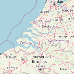
Zuid-Kennemerland is renowned for its extensive coastal dune system, which supports an exceptional variety of plant and animal life uncommon in the Netherlands. The calcium-rich dune soils create conditions for flora that would otherwise struggle to survive in this lowland country, while the park's network of large grazers including Highland cattle, Konik horses, and European bison (wisent) helps maintain open habitats. The park is also notable for Thijsse's Hof, a wildlife garden in Bloemendaal established in 1925 that displays approximately 800 plant species found within the dune area, making it the oldest such garden in the Netherlands. Additionally, the park's proximity to Amsterdam and its accessibility via train from the capital make it a heavily visited nature destination.

Brown Highland cow with long curved horns lying on a patchy grassy field under a partly cloudy sky
Highland cow resting in Zuid-Kennemerland National Park

Zuid-Kennemerland National Park history and protected-area timeline

The origins of Zuid-Kennemerland National Park trace to 1944, when Dutch conservationist Jac. P. Thijsse first proposed the establishment of a national park in the area between Bloemendaal and the North Sea Canal. This vision materialized in 1950 with the creation of De Kennemerduinen, one of the Netherlands' earliest protected nature areas. Thijsse's pioneering work in nature education and conservation helped establish the philosophical foundation for Dutch environmental protection, and his legacy is preserved in Thijsse's Hof, the wildlife garden he founded in Bloemendaal in 1925. The current national park was formally established in 1995, expanding the protected area to encompass De Kennemerduinen together with several nature reserves managed by Vereniging Natuurmonumenten and additional lands. This expansion reflected growing recognition of the ecological interconnectedness of the dune system and the need for comprehensive conservation. Within the park lies Erebegraafplaats Bloemendaal, a war cemetery honoring hundreds of resistance fighters from World War II, adding historical dimension to the landscape.

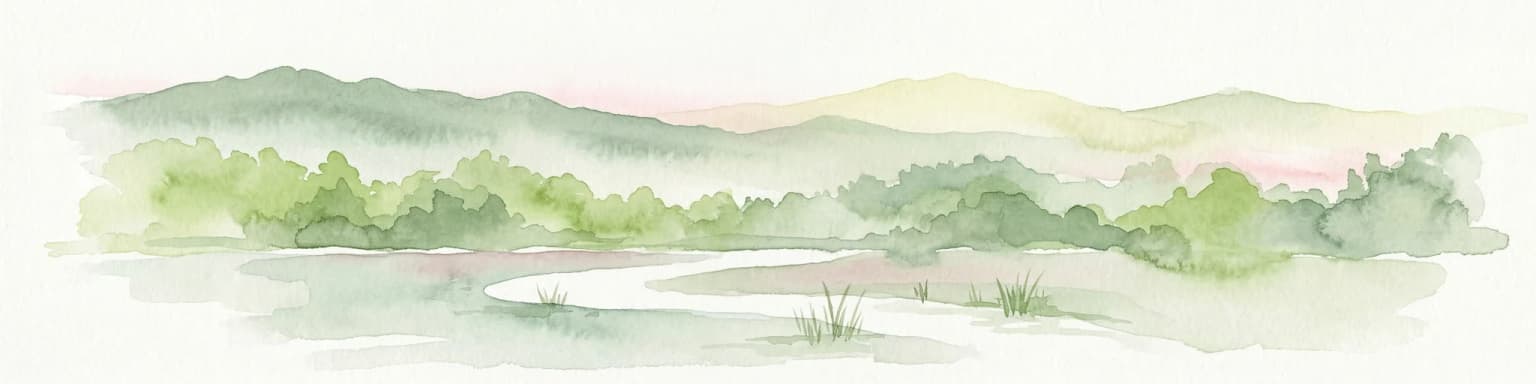
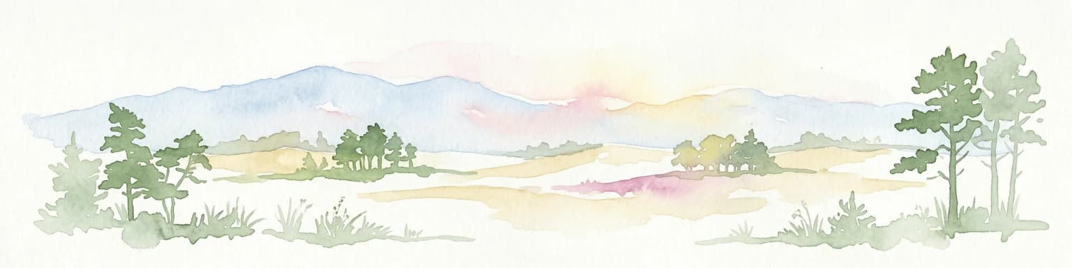
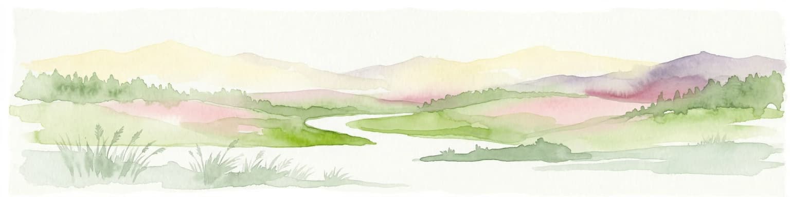
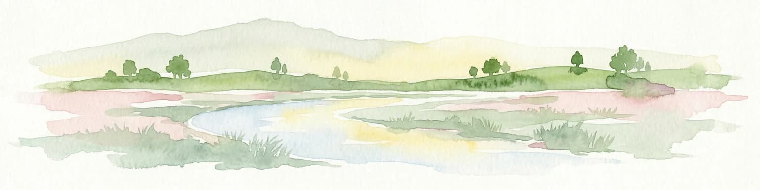
Zuid-Kennemerland National Park landscape and geographic character

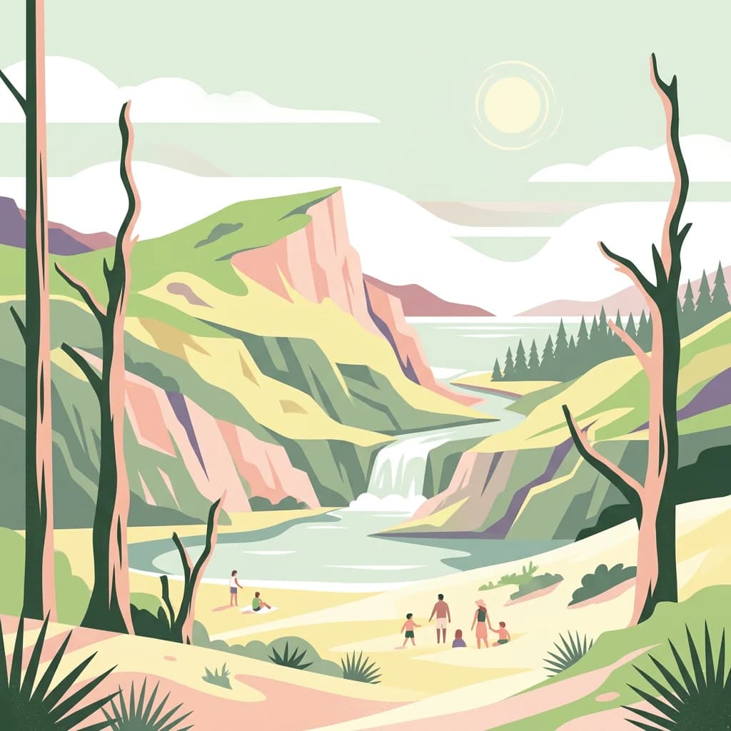
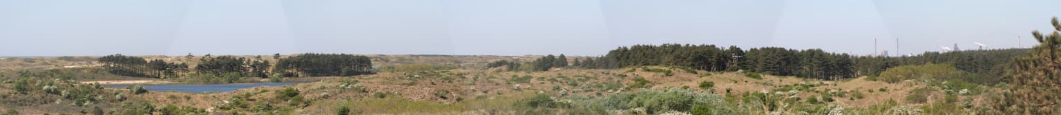
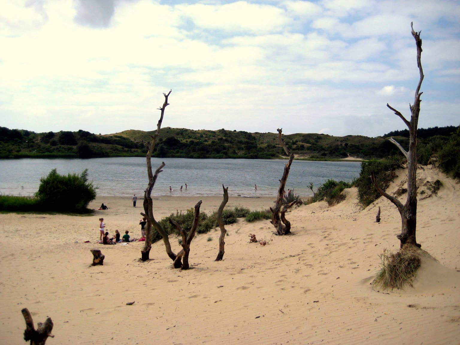
The physical landscape of Zuid-Kennemerland is defined by its coastal dune system, characterized by ridges of wind-blown sand that parallel the North Sea shoreline. The park exhibits the full range of dune formations from young foredunes along the coast to older, more stabilized inland dunes covered with vegetation. The Brederodeberg, rising to over 45 meters, represents the highest point in the park and is located in the wooded eastern portion, though tree cover often obscures views from its summit. The landscape includes numerous dune lakes and wetlands such as Vogelmeer (Bird Lake), contributing ecological and visual diversity. Beyond the dunes themselves, the park incorporates estate lands with historic buildings, woodlands ringing the dune margins, and narrow strands along the coastline. The terrain has been shaped by both natural forces and human activities including sand extraction, which ceased in 2003, and ongoing conservation management through grazing animals.

Panoramic view of a coastal dune landscape with a lake visible in the distance
Panoramic view of Vogelmeer lake within the coastal dunes of Zuid-Kennemerland National Park

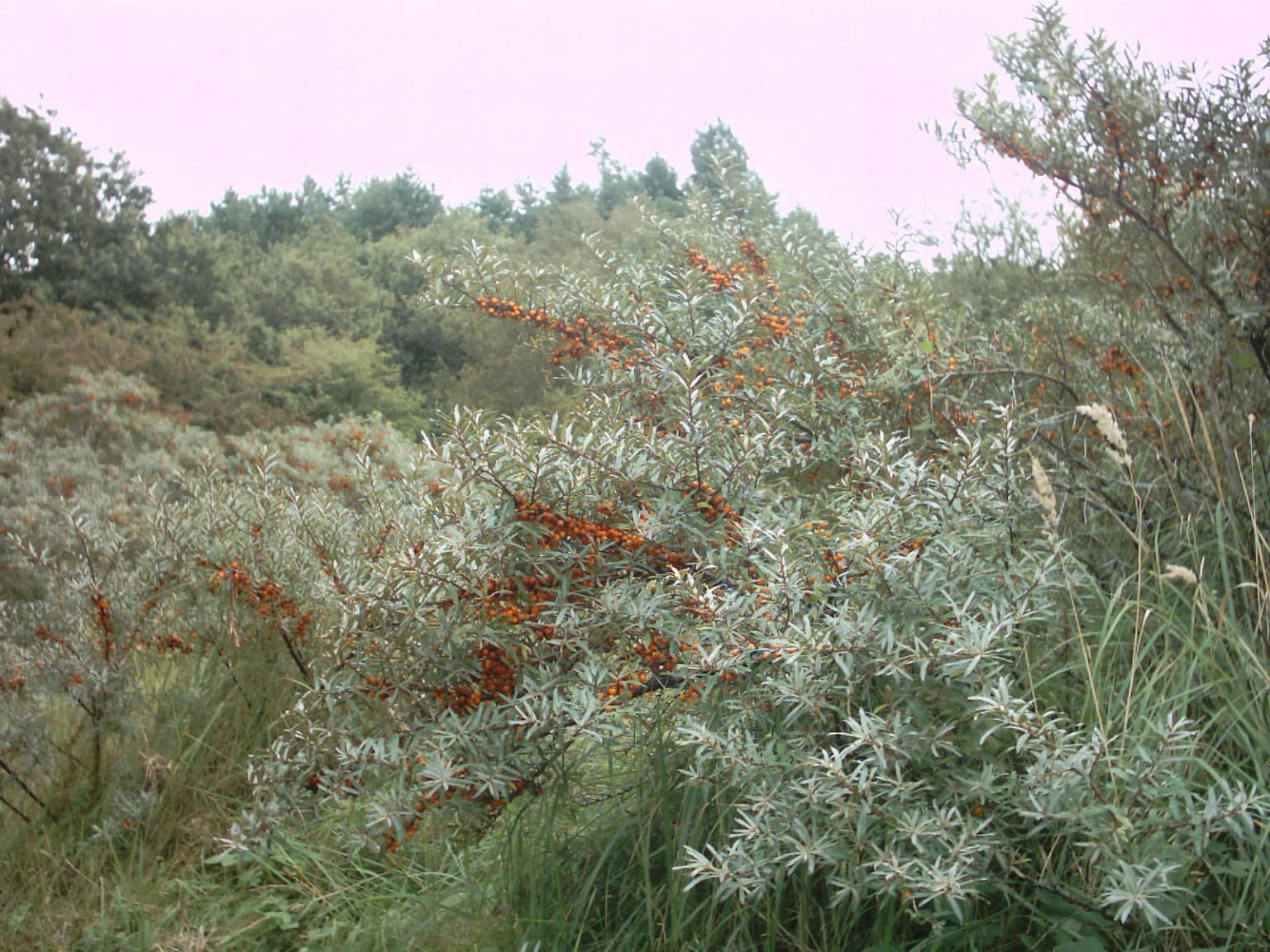
Zuid-Kennemerland National Park ecosystems, habitats, and plant life

The ecological character of Zuid-Kennemerland centers on its coastal dune ecosystem, which supports biodiversity patterns distinct within the Dutch context. The calcium-rich nature of the dune soils, derived from seashell fragments and calcareous deposits, enables plant species to thrive that would be rare or absent in the typically acidic soils of the Netherlands. Behind the primary foredune ridge (zeereep), the dunes support dense berry-bearing shrubs that attract diverse songbird populations. The park contains approximately 800 plant species documented within its boundaries, displayed in educational context through Thijsse's Hof. The ecological continuity with the Amsterdam Water Supply Dunes creates a larger functional ecosystem capable of supporting broader wildlife populations and potential range expansions for species like wolves and lynx, which conservation experts have identified as potentially suitable for the area.

Sandy beach with dead trees, a body of water, and people near the water
Sandy beach with dead trees and the 't Wed swimming pond in the background

Zuid-Kennemerland National Park wildlife and species highlights

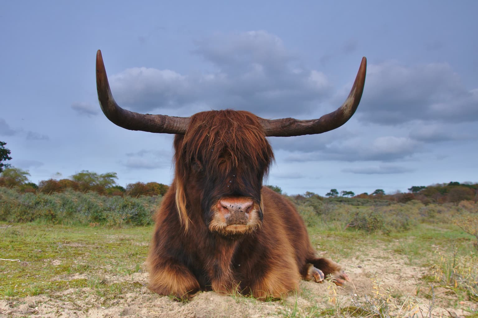
Zuid-Kennemerland supports more than 100 bird species and nearly 20 butterfly species, making it particularly significant for ornithologists and entomologists within the Netherlands. The mammal population includes fallow deer, roe deer, squirrels, West European hedgehogs, European rabbits, and red foxes. The park employs a system of large grazing animals for ecological management, including Highland cattle, Shetland ponies, and Konik horses. A notable addition occurred in spring 2007 when European bison (wisent) were released in a restricted area of the park; these animals can be observed from a purpose-built viewing platform along a path that closes during breeding season. Conservation researchers have identified the connected dune system as potentially suitable habitat for wolves and have expressed interest in lynx reintroduction to help manage deer populations naturally. The golden jackal represents another species that may expand into the area.

Sea buckthorn plants with orange berries and silvery leaves in a natural dune landscape
Sea buckthorn (Hippophae rhamnoides) in the Kennemer dunes

Zuid-Kennemerland National Park conservation status and protection priorities

The park holds IUCN Category II designation as a national park, reflecting its primary purpose of ecosystem conservation and protection. The collaborative management structure brings together Vereniging Natuurmonumenten, Staatsbosbeheer, PWN, the Province of North Holland, IVN, and local municipalities in a shared stewardship model. Conservation significance stems from the calcium-rich dune ecosystem, which supports plant species that are rare within the Netherlands, and the large connected habitat area that could support broader ecological processes including potential large predator return. The cessation of sand extraction in 2003 allowed groundwater systems to recover, improving habitat conditions throughout the park. The park also plays a role in water management, with the dunes historically serving as a watershed and the connection to Amsterdam's water supply infrastructure demonstrating the intersection of nature conservation and practical resource management.

Zuid-Kennemerland National Park cultural meaning and human context

Zuid-Kennemerland contains meaningful cultural and historical elements beyond its ecological value. The park lies in the historic Kennemerland region, an area with centuries of human presence and land use. The presence of Erebegraafplaats Bloemendaal along the Zeeweg road through the dunes provides a war memorial function, honoring resistance fighters from World War II. Thijsse's Hof, established in 1925, represents an early milestone in Dutch nature education and remains active as a demonstration garden displaying regional flora. The numerous estate lands and historic buildings within and near the park boundaries reflect aristocratic and wealthy Dutch families' historical use of the dune area for country estates. The area also connects to the broader Dutch tradition of water management and sand dune stabilization, with the dunes having served as a critical watershed for Haarlem.

Top sights and standout views in Zuid-Kennemerland National Park

The dune landscape of Zuid-Kennemerland, with its calcium-rich soils supporting rare plant species, forms the core ecological highlight of the park. The extensive network of walking trails through varied terrain from coastal beach to ancient woodland provides recreational access throughout the area. Thijsse's Hof offers visitors an educational introduction to the park's flora, while the visitor center De Kennemerduinen in Overveen provides comprehensive information about the park's natural and cultural features. The presence of European bison in a restricted area, viewable from a dedicated platform, represents a unique wildlife observation opportunity. The park's accessibility from Amsterdam, with train service running through the area, makes it a practical destination for visitors seeking nature near the capital.

Best time to visit Zuid-Kennemerland National Park

The park is accessible year-round, though different seasons offer distinct experiences. Spring and early summer bring the most vibrant wildflower displays in the dunes and peak butterfly activity, while bird song reaches its fullest expression during the breeding season. Autumn offers opportunities to observe deer activity and the color changes in woodland areas. Winter provides a quieter experience with fewer visitors and the opportunity to observe larger mammals in more open terrain, though some trails may have seasonal restrictions. The park's heavy visitation means that early morning or weekday visits generally offer more tranquil experiences than peak weekend periods.

Park location guide

Geography guide, regional context, and park location map for Zuid-Kennemerland National Park

Zuid-Kennemerland National Park park geography, regions, and map view in Netherlands
Understand where Zuid-Kennemerland National Park sits in Netherlands through a broader geographic reading of the surrounding landscape, nearby location context, and its mapped position within the national park landscape.

How Zuid-Kennemerland National Park fits into Netherlands

The Netherlands is a low-lying coastal country in Northwestern Europe, famous for its extensive dike and canal systems that reclaim land from the sea. It consists of twelve provinces and is known for tulips, windmills, and cycling culture. The country is a founding member of the European Union with Amsterdam as its capital and The Hague as the seat of government.

Wider geography shaping Zuid-Kennemerland National Park in Netherlands

The Netherlands is located in Northwestern Europe along the North Sea coastline to the north and west. It borders Germany to the east and Belgium to the south. The country is notably flat, with a significant portion of its territory lying below sea level, protected by dikes and dune systems. It consists of twelve provinces and also includes overseas municipalities in the Caribbean.

Map view of Zuid-Kennemerland National Park

Use this park location map to pinpoint Zuid-Kennemerland National Park in Netherlands, understand its exact geographic position, and read its mapped placement within the surrounding landscape more clearly.

Pigeon | © OpenStreetMap contributors

Location context for Zuid-Kennemerland National Park

North Holland

Visual reference for understanding the dynamic dune ecosystems, diverse habitats, and protected-area character of this unique Dutch national park.

Zuid-Kennemerland National Park Photos: Explore Coastal Dune Landscapes and Scenery
Browse the extensive photo gallery of Zuid-Kennemerland National Park to visualize its defining coastal dune systems, unique calcium-rich soils, and diverse array of habitats, from foredunes to woodlands. These images provide crucial visual context for understanding the park's protected landscapes, its dynamic terrain shaped by the North Sea, and the overall environment of this significant Dutch conservation area.

Brown Highland cow with long curved horns lying on a patchy grassy field under a partly cloudy sky

Coastal dunes with vegetation, a wooden fence in foreground, and a body of water in the background under a partly cloudy sky

Panoramic view of a coastal dune landscape with a lake visible in the distance

Sandy beach with dead trees, a body of water, and people near the water

Sea buckthorn plants with orange berries and silvery leaves in a natural dune landscape

Park atlas

Browse the regional park geography and connected protected landscapes surrounding Zuid-Kennemerland National Park.

National Parks Near Zuid-Kennemerland National Park: Explore More Protected Areas and Coastal Dunes
Discover more national parks and protected areas across North Holland, tracing the unique coastal dune systems and surrounding conservation landscapes beyond Zuid-Kennemerland National Park. Compare different protected landscapes and their ecological features within the regional context, gaining a deeper understanding of the diverse natural areas near the Dutch North Sea coast.
National parkFlevoland

Nieuw Land National Park: Mapped Wetland Landscape on Flevoland's Reclaimed Land

Protected area geography and ecological discovery in the Netherlands

Nieuw Land National Park offers a distinctive protected landscape forged on land recently reclaimed from the sea in the Dutch province of Flevoland. This national park is characterized by its vast expanse of wetlands, artificial islands like the Marker Wadden, and critical importance for migratory bird populations. Delve into the park's geographic context and mapped features to understand its unique conservation value and role within the wider European atlas of protected areas.

Area
289 km²
Established
2018
IUCN
II
Relief
Lowland
Watercolor landscape showing green hills, forests, and a small stream with grassy patches
National parkUtrecht Province

Utrechtse Heuvelrug National Park: Mapped Protected Landscape and Geographic Atlas

Discover Utrecht Province's glacial ridge and diverse natural terrain.

Utrechtse Heuvelrug National Park is a significant protected natural area located in Utrecht Province, renowned for its unique glacial ridge topography. This entry provides detailed information about its mapped boundaries, diverse landscapes including heathlands and forests, and its importance as an ecological corridor within the Netherlands. Explore the park's distinct geography and its role in regional conservation through our structured atlas view.

Area
100 km²
Established
2003
IUCN
II
Visitors
1M annual
Watercolor illustration showing a network of rivers, trees, and hills in a wetland landscape
National park

De Biesbosch National Park: A Dutch National Park Mapping Tidal Wetlands and Flood Forests

Explore mapped waterways and diverse protected landscapes.

Delve into the geography of De Biesbosch National Park, a remarkable protected area in the Netherlands renowned for its extensive freshwater tidal wetlands. This national park showcases a unique landscape defined by intricate river systems, dominant willow flood forests, and vital reed beds, serving as a critical habitat for migratory birds and a prime example of wetland restoration. Understand its place within the regional geography through our atlas-driven approach to protected land discovery.

Area
90 km²
Established
1994
IUCN
II
Relief
Lowland
National parkNorth Holland

Duinen van Texel National Park: Protected Coastal Dune and Wetland Atlas

Explore the mapped geography and protected landscape of North Holland.

The Duinen van Texel National Park offers a rich exploration of protected coastal dunes and dynamic wetland environments on Texel Island. This atlas-focused page details the park's unique landscape features, including active dune formation at De Hors and the tidal Slufter valley. Understanding its geographic context within North Holland provides a crucial aspect of its protected area status and ecological significance for regional mapped terrain.

Area
43 km²
Established
2002
IUCN
II
Visitors
265K annual
Watercolor painting of rolling hills, green trees, and a winding path
National parkGelderland

De Hoge Veluwe National Park: Mapped Protected Landscape & Geographic Atlas Context

Explore Gelderland's unique heathland, sand dune, and woodland terrain.

De Hoge Veluwe National Park represents a distinctive protected area within the Gelderland region of the Netherlands. Its landscape is characterized by a unique mosaic of heathlands, sand dunes, and woodlands, shaped by ice age processes and historical land use. This page offers an atlas-focused exploration of its geographic setting, mapped boundaries, and the specific terrain that defines this significant natural and cultural heritage site.

Area
55 km²
Established
1935
IUCN
II
Visitors
629.4K annual
Watercolor artwork showing sand dunes, scattered trees, distant mountains, and soft sky
National park

De Loonse en Drunense Duinen National Park: Explore Dutch Protected Sand Drift Landscapes and Heathlands

National Park with unique living sand drift and dune terrain.

Navigate the geographic contours and protected land boundaries of De Loonse en Drunense Duinen National Park, a premier Dutch natural area. This national park is celebrated for its extensive living sand drift, one of the largest in Northern Europe, alongside significant heathlands and coniferous forests. Gain a structured understanding of its landscape character and its role within regional geography through detailed map context and atlas exploration tools.

Area
35 km²
Established
2002
IUCN
II
Relief
Lowland
Watercolor illustration of rolling hills, a winding river, and fields with distant mountains
National parkNorth Brabant

Van Gogh National Park: National Park in North Brabant with Dune Landscapes

Explore mapped protected areas and regional geography.

Van Gogh National Park is a significant protected landscape in North Brabant, Netherlands, covering approximately 1,200 square kilometers. This national park is distinguished by its extensive drift sand dune systems, notable heathlands, and wooded valleys, offering a diverse terrain within the Dutch context. Named in tribute to Vincent van Gogh, it merges rich natural landscapes with cultural heritage, serving as a model for collaborative conservation and regional development, all mapped for detailed atlas exploration.

Area
1,200 km²
Established
2024
IUCN
II
Relief
Lowland
Watercolor illustration of a park landscape with a winding stream, grassy fields, and distant hills
National parkGelderland

Veluwezoom National Park: Protected Landscape Atlas and Gelderland Geography

Explore oldest Dutch national park, heathlands, and glacial terrain.

Veluwezoom National Park is the Netherlands' inaugural national park, located in Gelderland. This page provides an atlas-driven exploration of its protected landscape, characterized by rolling heathlands, ancient forests, and dramatic glacial push moraines. Users can discover the park's geographical features, mapped boundaries, and its significance as a conserved natural area within the Veluwe region.

Area
50 km²
Established
1930
IUCN
II

Common questions about visiting, size, designation, and location context for Zuid-Kennemerland National Park

Zuid-Kennemerland National Park FAQs for park facts, access, geography, and protected area context
Find quick answers about Zuid-Kennemerland National Park, including protected-area facts, park geography, trail and visitor context, and how the park fits into its surrounding country and regional landscape.
MoriAtlas Explorer

Continue Your Protected Areas Search Across the Global Atlas

Deepen your exploration by continuing the structured search for national parks and protected areas worldwide. Utilize the comprehensive filtering capabilities to compare different conservation landscapes and refine your understanding of global park geography. Discover more about the distribution and characteristics of protected natural areas.

Global natural geography