Mori Atlas logo
National parkVeluwezoom National Park

Discover mapped boundaries, ancient forests, and rolling heathlands of this protected landscape.

Veluwezoom National Park: Oldest Dutch National Park in Gelderland's Glacial Landscape

(Nationaal Park Veluwezoom)

Veluwezoom National Park, established in 1930, stands as the oldest national park in the Netherlands. Located within the Gelderland province, its protected landscape is defined by a distinctive glacial terrain shaped by Saalian-era push moraines. Users can explore the park's mapped boundaries, ancient forests, expansive heathlands, and remnant drift sands, offering a unique window into the natural geography of the Veluwe region and its conservation context.

National ParkOldest Dutch National ParkHeathlandAncient ForestVeluwe RegionPush Moraines
Stylized illustration of a valley with waterfalls, a river, wooden fences, trails, and trees

Veluwezoom National Park

National park

Park overview

Structured park overview, official facts, and landscape profile for Veluwezoom National Park

Veluwezoom National Park park facts, protected area profile, and essential visitor context
Review the core facts for Veluwezoom National Park, including designation, size, terrain, visitor scale, habitats, and operating context in one park-focused overview.

About Veluwezoom National Park

Veluwezoom National Park represents the ecological and recreational heart of the Veluwe region, a terminal moraine complex formed during the Saalian glaciation approximately 130,000 years ago. The park's terrain displays the most pronounced topographical variation found anywhere in the Netherlands, with the Oost-Veluwestuwwal creating a ridge of hills that rises dramatically above the surrounding lowlands. This geological foundation supports an extraordinary diversity of habitats, from the acidic, nutrient-poor sandy soils of the heathlands to the richer loess deposits in southern valleys where ancient beech forests have developed.

The park's cultural landscape evolved over centuries of human interaction. Following the last ice age, the area became naturally forested with deciduous woodland, but the establishment of human settlements led to widespread deforestation through logging and overgrazing by sheep and cattle. This pressure transformed much of the Veluwe into extensive heathland, while some areas degraded further into active sand drifts. Medieval and early modern periods saw the development of country estates along the southern margins, withBeekhuizen, Heuven, and Rhederoord establishing formal parks and wooded estates that remain significant landscape features.

The nineteenth century brought another transformation as heathlands were systematically planted with coniferous species, creating extensive Scots pine forests in areas like the Schaddevelden and Eerbeekse Veld. These planted forests now form important habitat, though contemporary management increasingly favors conversion toward more natural woodland development. Natuurmonumenten's acquisition of the Hagenau forest in 1911 marked the beginning of systematic conservation, culminating in the park's 1930 designation as the Netherlands' first national park.

Quick facts and research context for Veluwezoom National Park

Veluwezoom National Park spans roughly 50 square kilometers across the municipalities of Arnhem, Rheden, and Rozendaal in eastern Gelderland. The park encompasses the Oost-Veluwestuwwal ridge, with notable peaks including the Zijpenberg and Elsberg. Its landscape combines extensive heathlands maintained by grazing Scottish Highland cattle, ancient woodpastures such as Imbosch and the Onzalige Bossen, and the small but ecologically significant Rozendaalse Zand drift sand area. The Posbank area represents the park's most renowned viewpoint, offering panoramic views over the heathlands and forests. The park's location on the Veluwe terminal moraine system provides geological significance as a record of Saalian and Weichselian glacial processes.

Park context

Deeper park guide and search-rich context for Veluwezoom National Park

Veluwezoom National Park history, landscape, wildlife, and travel context
Explore Veluwezoom National Park through its history, landscape character, ecosystems, wildlife, conservation priorities, cultural context, and seasonal travel timing in a structured park guide built for atlas discovery and search intent.

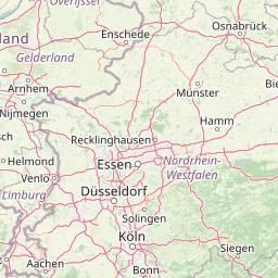
Why Veluwezoom National Park stands out

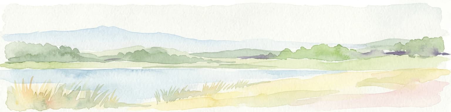
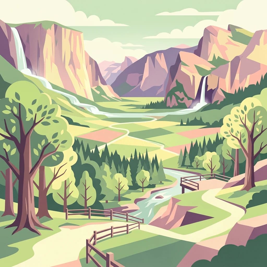
Veluwezoom is best known as the oldest national park in the Netherlands and for its distinctive combination of open heathlands and ancient forests that define the Veluwe landscape character. The Posbank viewpoint is famous throughout the Netherlands as a destination for day trips, particularly during the autumn rutting season when red deer gather in large numbers. The park contains the Signaal Imbosch, Gelderland's highest point at 109.9 meters. Its extensive network of hiking, cycling, and riding trails makes it a premier outdoor recreation destination, while the visitor center near Rheden provides educational access to the park's natural and cultural history.

A Highland cattle with long shaggy brown fur and large curved horns standing in a forested area with trees in the background
Highland cattle in Veluwezoom National Park

Veluwezoom National Park history and protected-area timeline

Veluwezoom National Park was established in 1930 as the first national park in the Netherlands, marking a pivotal moment in Dutch nature conservation history. The area's conservation trajectory began in 1911 when Natuurmonumenten purchased the Hagenau forest with the Carolinahoeve, the organization's first acquisition in what would become the park. Subsequent land purchases expanded the protected area through the 1920s, ultimately enabling the formal designation in 1930.

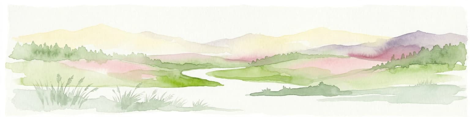
The park's landscape has undergone significant transformation over geological and historical time. During the Saalian glaciation, Scandinavian glaciers pushed into the Netherlands, creating the terminal push moraines that form the Veluwe's backbone. As these glaciers melted at the end of the Saalian period, meltwaters carved deep valleys visible around the Posbank today. The subsequent Weichselian glacial period did not reach the Netherlands, but wind action on the bare landscape deposited fine loess dust in the lee of the terminal moraines, creating the fertile soils found in southern park valleys.

Human activity profoundly shaped the vegetation. After initial post-glacial forest development, centuries of clearing and grazing pressure converted forest to heathland. Some areas degraded further into sand drifts such as the Rozendaalse Zand and the Rheder- en Worthrhederzand. Only isolated ancient woodpastures like Imbosch, 't Asselt, and the Onzalige Bossen retained continuous forest cover. The medieval period saw establishment of country estates along the southern boundary, creating the park's distinctive cultural landscape of manor houses, designed parks, and historic beech avenues. Nineteenth-century planting of coniferous forest added another landscape layer that contemporary management is progressively modifying toward more natural conditions.

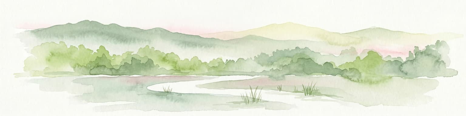
Veluwezoom National Park landscape and geographic character

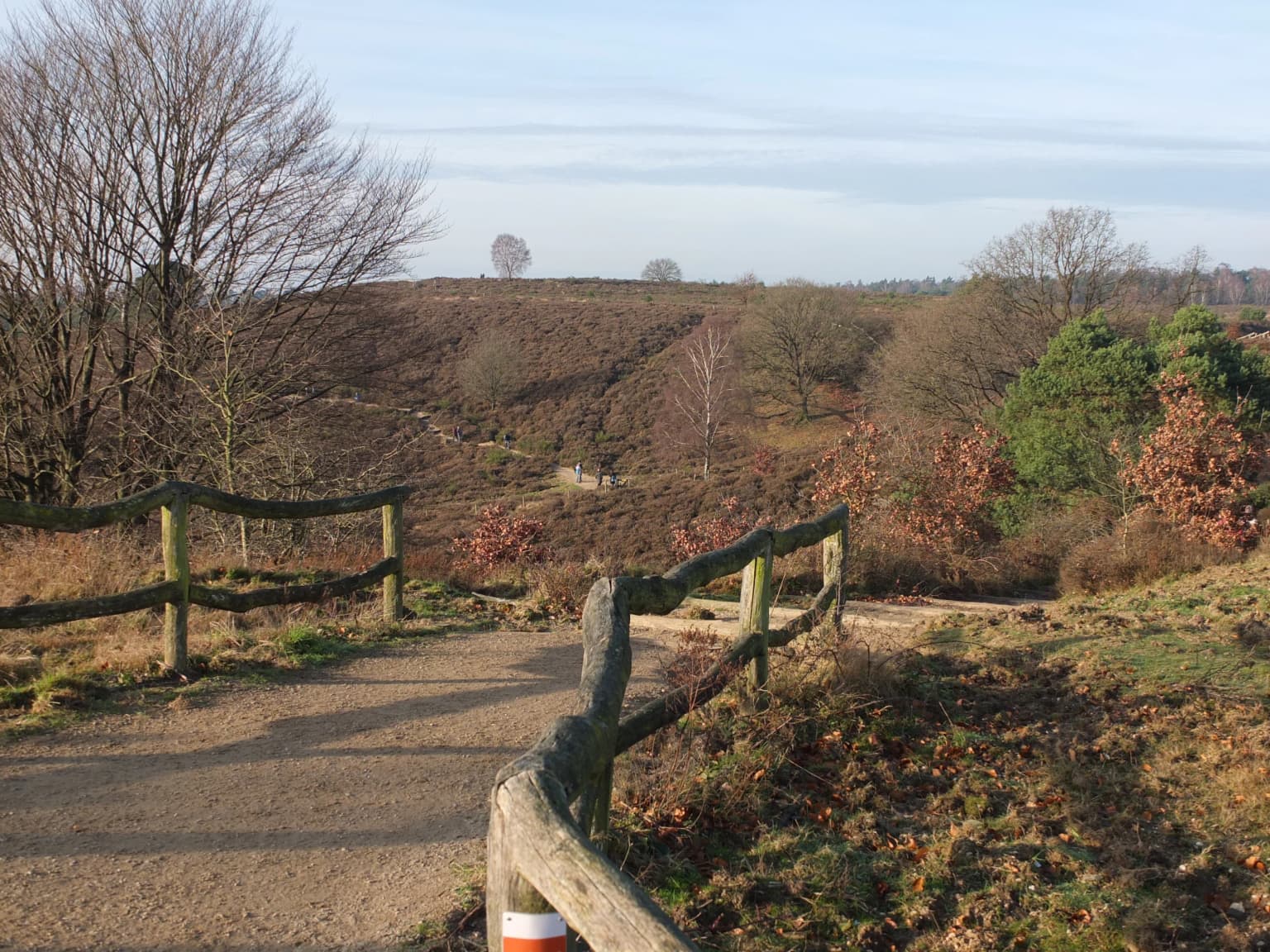
The physical landscape of Veluwezoom National Park is defined by the Oost-Veluwestuwwal, a terminal moraine ridge running through the park created during the Saalian glaciation when glaciers advanced from Scandinavia. This ridge includes prominent hills such as the Zijpenberg, Elsberg, and the Signaal Imbosch at 109.9 meters, the highest point in both the national park and the province of Gelderland. The glacial valleys and meltwater channels carved during the Saalian retreat remain visible in the terrain around the Posbank area.

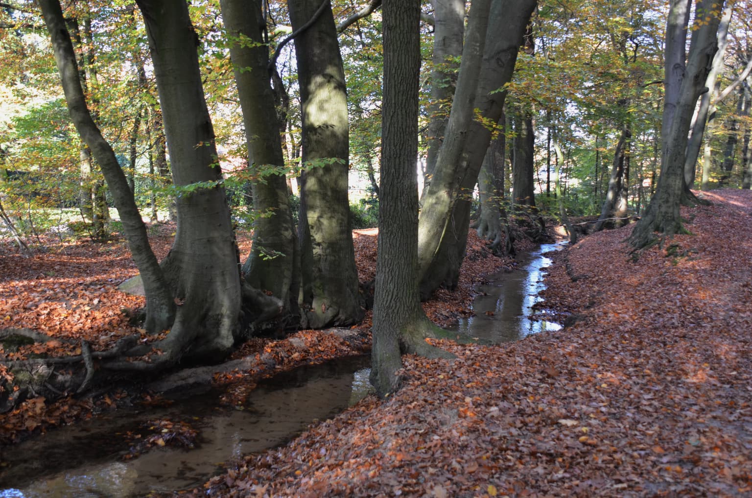
The park's terrain combines rolling heathlands, ancient deciduous woodpastures, planted coniferous forests, and a remnant sand drift area. The northern portions are dominated by extensive heathland maintained by large herbivores, interspersed with Scots pine plantations established in the nineteenth century. The southern section contains the historic country estates with their parklands, mature beech avenues, and the more fertile loess-covered valleys where ancient beech forests have developed. The Beekhuizense beek and other spring-fed streams (sprengen) traverse the landscape, historically powering watermills and now providing special botanical habitat.

The small but significant Rozendaalse Zand represents the last remaining active sand drift within the park, a rare habitat in the Netherlands created by historical vegetation loss. This area was actively maintained in 2009 through forest removal to restore wind dynamics and maintain the open sand habitat essential for specialized dune flora and insect communities.

Beech trees with autumn leaves surrounding a shallow stream in a forested area
Beech trees lining a small stream in Veluwezoom National Park

Veluwezoom National Park ecosystems, habitats, and plant life

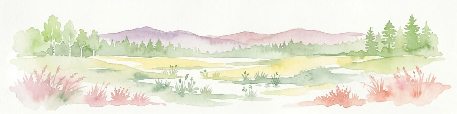
The ecological character of Veluwezoom reflects the interplay of soil conditions, historical land use, and contemporary conservation management. The park's heathlands occur on acidic, nutrient-poor sandy soils and support distinctive plant communities including ling (struikheide), cross-leaved heath (gewone dophei), gorse (gaspeldoorn), and broom (brem). These heaths require active management through grazing and periodic soil disturbance to prevent succession to woodland.

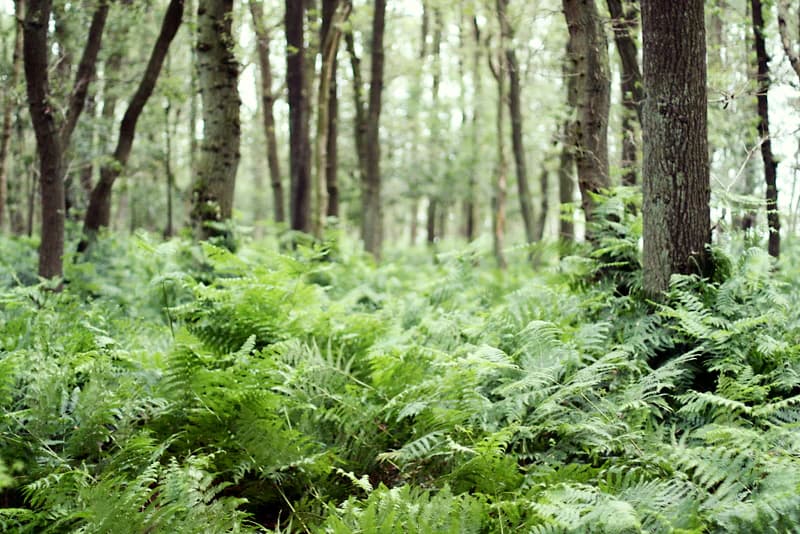
The ancient woodpastures of Imbosch, 't Asselt, and the Onzalige Bossen represent the park's oldest surviving woodland, characterized by coppiced oaks and birches with a rich ground flora of ferns including royal fern (adelaarsvaren) beneath summer oaks. The Imbosch area's nutrient-poor sandy soils support extensive blueberry (blauwe bosbes) and cowberry (vossenbes) ground cover, while the coniferous plantations on the Eerbeekse Veld and Schaddevelden contain similar heather understory with wavy hair-grass (bochtige smele).

The southern valleys with their loess soils support the park's most productive forests, where beech, oak, and exotic species including Norway spruce, larch, Douglas fir, and sweet chestnut can reach heights exceeding 40 meters. The dense shade beneath these beech stands creates near-barren forest floors, a characteristic of beech forest ecology. The Beekhuizense beek valley hosts special botanical features including the rare golden-saxifrage (paarbladig goudveil), a characteristic species of spring-fed stream corridors.

Dirt path with wooden railings leading to a hilltop viewpoint with sparse trees and a red-and-white striped signpost
Posbank viewpoint in Veluwezoom National Park

Veluwezoom National Park wildlife and species highlights

Veluwezoom supports a notable community of large mammals characteristic of Dutch lowland forest and heathland ecosystems. Red deer (edelhert) represent the park's flagship species, present in significant numbers and famous for their autumn rut, which draws many visitors to viewing points around the Elsberg and Herikhuizen. Fallow deer (damhert), roe deer (ree), and wild boar (wild zwijn) complete the park's ungulate community, all contributing to the ecological dynamics through grazing and rooting behavior.

Carnivores include red fox, European badger, and the regionally rare pine marten (boommarter). Wolf presence has been recorded in recent years, reflecting the species' recovery in northwestern Europe. Smaller predators include weasel (hermelijn). The park's reptile community is remarkably complete, with six of the seven native Dutch reptile species present: adder (adder), smooth snake (gladde slang), grass snake (ringslang), slow worm (hazalworm), sand lizard (zandhagedis), and common lizard (levendbarende hagedis).

Bird diversity is high, with species associated with both forest and heathland habitats well represented. Notable species include kingfisher (ijsvogel), hobby (boomvalk), honey buzzard (wespendief), raven (raaf), nightjar (nachtzwaluw), whinchat (roodborsttapuit), skylark (veldleeuwerik), green woodpecht (groene specht), black woodpecht (zwarte specht), and wintering great grey shrike (klapekster). The sand drift areas support specialized insect communities characteristic of open dune habitats.

Green ferns growing on forest floor with trees in background
Dense ferns covering the forest floor in Veluwezoom National Park

Veluwezoom National Park conservation status and protection priorities

Veluwezoom National Park holds significant conservation value as the Netherlands' oldest national park and as a representative example of Veluwe heathland and forest ecosystems. The park's designation as IUCN Category II reflects its primary purpose of protecting natural landscapes while enabling public recreation and environmental education.

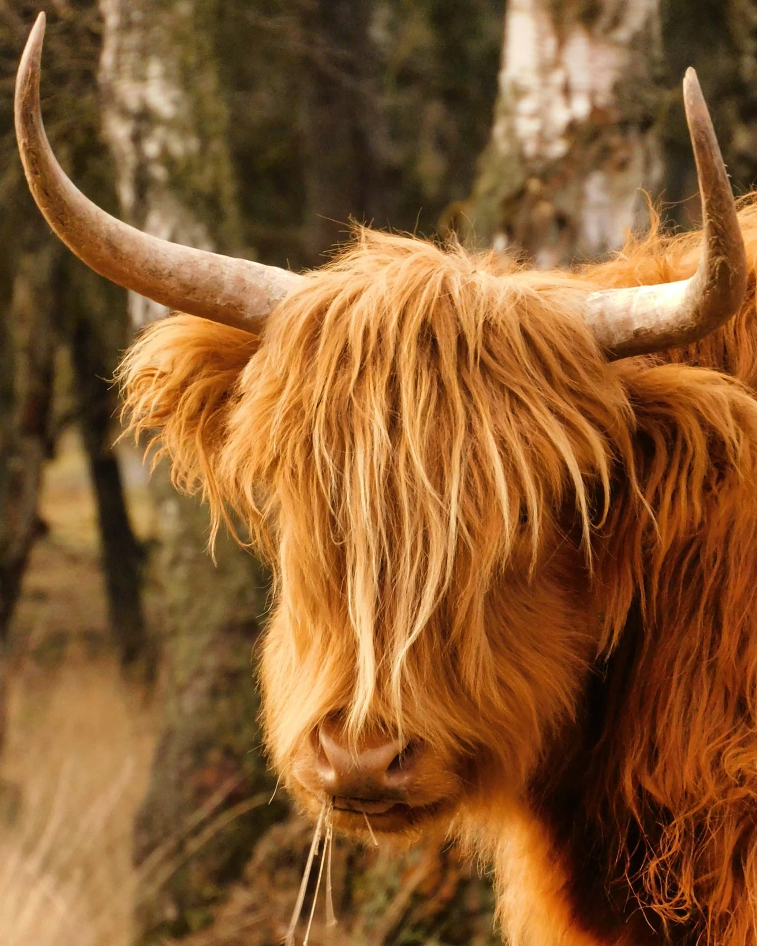
Contemporary conservation management has shifted substantially from the intensive forestry and hunting practices that dominated through the 1980s. The current approach emphasizes natural process-oriented management across most of the park, where exotic tree species are progressively removed and a "do nothing" philosophy allows natural regeneration and the accumulation of dead wood. This approach has demonstrably increased populations of scavengers, fungi, and other organisms dependent on dead wood in the food chain. Large herbivores including Scottish Highland cattle, red deer, fallow deer, roe deer, and wild boar are deployed to maintain habitat diversity by grazing and browsing, preventing succession to closed forest and maintaining the heathland/open woodland mosaic.

The southern estate areas receive more intensive management to preserve their cultural-historical values including historic park design, avenue plantings, water features, and specimen trees. Heathland maintenance continues through grazing by Icelandic ponies and the traditional Rheden sheep flock, supplemented by soil disturbance through plagging where natural processes prove insufficient. The restoration of the Rozendaalse Zand drift sand area through controlled forest removal in 2009 demonstrates active habitat management for rare dune communities.

Veluwezoom National Park cultural meaning and human context

The cultural landscape of Veluwezoom reflects centuries of human interaction with the Veluwe environment. The country estates along the southern park boundary, including Beekhuizen, Heuven, and Rhederoord, originated in the medieval period and developed through the early modern era as wealthy merchants and nobility established country retreats with formal gardens, parklands, and managed woodland. These estates contribute significantly to the park's cultural-historical character and receive specific management attention.

The tradition of outdoor recreation in the Veluwe dates to the late nineteenth century when growing appreciation for natural landscapes drew increasing numbers of visitors, particularly from the western Dutch cities. The Posbank area became especially famous as a destination for day trips, a reputation that grew through the twentieth century as the park became accessible to increasingly broad segments of the Dutch population. This cultural connection between the Dutch public and the Veluwe landscape reinforces the park's significance beyond its ecological value.

The park's stream systems (sprengen) represent another cultural-historical dimension, having been hand-excavated to power watermills before the arrival of steam machinery. Several restored sprengen now contribute to both ecological and landscape values. The historic shepherding tradition continues through the Rheden sheep flock, maintaining the cultural practice of transhumance grazing on the heathlands.

Top sights and standout views in Veluwezoom National Park

Veluwezoom National Park offers several distinctive features that set it apart within the Dutch protected area network. As the nation's first national park established in 1930, it carries historical significance while its diverse landscape of heathlands, ancient woodpastures, coniferous forests, and drift sands provides exceptional ecological variety. The Posbank area serves as the park's iconic viewpoint and is deeply embedded in Dutch cultural consciousness as a destination for nature appreciation. The autumn red deer rut draws visitors in significant numbers to witness this spectacular natural behavior. The Signaal Imbosch at 109.9 meters provides the highest vantage point in Gelderland. The park's network of hiking, cycling, and riding trails makes it exceptionally accessible for outdoor recreation, while the visitor center at Rheden offers educational programming. The Rozendaalse Zand drift sand represents a rare and actively managed habitat for dune-specialist species.

Best time to visit Veluwezoom National Park

Veluwezoom can be enjoyed throughout the year, though different seasons offer distinct experiences. Autumn represents perhaps the most spectacular season, when the red deer rut occurs and large numbers of stags can be observed and heard from viewing points such as the Elsberg. The heathlands take on golden hues as the heather finishes flowering, and the forests display typical autumn color. Winter offers a quieter experience with fewer visitors, and the open heathlands provide atmospheric walking when the landscape is often shrouded in mist. Spring brings the heathlands into bloom with purple heather flowers from late July through August, while woodland wildflowers appear in the forests. Summer attracts the most visitors and provides the warmest weather for outdoor activities, though the heather flowering has typically finished by late August. The shoulder seasons of spring and autumn generally provide the best combination of comfortable weather, wildlife opportunities, and relatively lower visitor pressure.

Park location guide

Geography guide, regional context, and park location map for Veluwezoom National Park

Veluwezoom National Park park geography, regions, and map view in Netherlands
Understand where Veluwezoom National Park sits in Netherlands through a broader geographic reading of the surrounding landscape, nearby location context, and its mapped position within the national park landscape.

How Veluwezoom National Park fits into Netherlands

The Netherlands is a low-lying coastal country in Northwestern Europe, famous for its extensive dike and canal systems that reclaim land from the sea. It consists of twelve provinces and is known for tulips, windmills, and cycling culture. The country is a founding member of the European Union with Amsterdam as its capital and The Hague as the seat of government.

Wider geography shaping Veluwezoom National Park in Netherlands

The Netherlands is located in Northwestern Europe along the North Sea coastline to the north and west. It borders Germany to the east and Belgium to the south. The country is notably flat, with a significant portion of its territory lying below sea level, protected by dikes and dune systems. It consists of twelve provinces and also includes overseas municipalities in the Caribbean.

Map view of Veluwezoom National Park

Use this park location map to pinpoint Veluwezoom National Park in Netherlands, understand its exact geographic position, and read its mapped placement within the surrounding landscape more clearly.

Pigeon | © OpenStreetMap contributors

Location context for Veluwezoom National Park

Gelderland

Visually explore Veluwezoom's distinct protected landscapes, from rolling glacial terrain and ancient forests to its unique heathland and drift sand habitats.

Veluwezoom National Park Photos: Visualizing Dutch Heathland and Forest Landscapes
Browse a visual atlas of Veluwezoom National Park through detailed photographs capturing its rolling heathlands, ancient forests, and unique glacial landscapes. These images provide essential geographic context, allowing users to trace the visual identity of its diverse habitats and understand the park's distinct protected-area environment within the Netherlands.

A Highland cattle with long shaggy brown fur and large curved horns standing in a forested area with trees in the background

Wooden gate structure with yellow signpost, grassy field, and distant hilly landscape under partly cloudy sky

Beech trees with autumn leaves surrounding a shallow stream in a forested area

Dirt path with wooden railings leading to a hilltop viewpoint with sparse trees and a red-and-white striped signpost

Green ferns growing on forest floor with trees in background

Park atlas

Trace the regional spread of diverse protected landscapes across the Veluwe, mapping connected natural features.

Explore Other National Parks and Protected Areas Near Veluwezoom National Park
Continue your park discovery beyond Veluwezoom National Park by browsing other national parks and protected areas across the Veluwe region and surrounding Dutch lowlands. Compare diverse landscapes, from ancient heathlands to glacial moraines, to understand the broader conservation geography of the Netherlands.
Watercolor painting of rolling hills, green trees, and a winding path
National parkGelderland

De Hoge Veluwe National Park: Mapped Protected Landscape & Geographic Atlas Context

Explore Gelderland's unique heathland, sand dune, and woodland terrain.

De Hoge Veluwe National Park represents a distinctive protected area within the Gelderland region of the Netherlands. Its landscape is characterized by a unique mosaic of heathlands, sand dunes, and woodlands, shaped by ice age processes and historical land use. This page offers an atlas-focused exploration of its geographic setting, mapped boundaries, and the specific terrain that defines this significant natural and cultural heritage site.

Area
55 km²
Established
1935
IUCN
II
Visitors
629.4K annual
Watercolor landscape showing green hills, forests, and a small stream with grassy patches
National parkUtrecht Province

Utrechtse Heuvelrug National Park: Mapped Protected Landscape and Geographic Atlas

Discover Utrecht Province's glacial ridge and diverse natural terrain.

Utrechtse Heuvelrug National Park is a significant protected natural area located in Utrecht Province, renowned for its unique glacial ridge topography. This entry provides detailed information about its mapped boundaries, diverse landscapes including heathlands and forests, and its importance as an ecological corridor within the Netherlands. Explore the park's distinct geography and its role in regional conservation through our structured atlas view.

Area
100 km²
Established
2003
IUCN
II
Visitors
1M annual
Watercolor painting showing green hills, a lake, and distant mountains under a light sky
National parkOverijssel

Sallandse Heuvelrug National Park: Overijssel's Glacial Ridge Protected Landscape

Explore its heathland geography and mapped park boundaries.

Sallandse Heuvelrug National Park represents a significant protected landscape within Overijssel, Netherlands, notable for its distinctive glacial ridges and extensive heathland ecosystems. As one of the country's most important conservation areas, it offers a unique opportunity to study the mapped topography and the geography of Dutch heathlands. Discover the protected area's contours and its place within the broader regional atlas context, appreciating its geological formations and ecological importance.

Area
35 km²
Established
2004
IUCN
II
National parkLimburg

De Maasduinen National Park: Mapping the Longest River Dune System in the Netherlands

Protected Landscape and Dune Terrain in Limburg

Delve into the geographic identity of De Maasduinen National Park, a vital protected area in Limburg. This page offers detailed insights into its remarkable dune landscape, heathlands, and forests, emphasizing its role within the Dutch natural atlas and its connections to surrounding conservation areas.

Area
45 km²
Established
1996
IUCN
II
National parkFlevoland

Nieuw Land National Park: Mapped Wetland Landscape on Flevoland's Reclaimed Land

Protected area geography and ecological discovery in the Netherlands

Nieuw Land National Park offers a distinctive protected landscape forged on land recently reclaimed from the sea in the Dutch province of Flevoland. This national park is characterized by its vast expanse of wetlands, artificial islands like the Marker Wadden, and critical importance for migratory bird populations. Delve into the park's geographic context and mapped features to understand its unique conservation value and role within the wider European atlas of protected areas.

Area
289 km²
Established
2018
IUCN
II
Relief
Lowland
Watercolor illustration of rolling hills, a winding river, and fields with distant mountains
National parkNorth Brabant

Van Gogh National Park: National Park in North Brabant with Dune Landscapes

Explore mapped protected areas and regional geography.

Van Gogh National Park is a significant protected landscape in North Brabant, Netherlands, covering approximately 1,200 square kilometers. This national park is distinguished by its extensive drift sand dune systems, notable heathlands, and wooded valleys, offering a diverse terrain within the Dutch context. Named in tribute to Vincent van Gogh, it merges rich natural landscapes with cultural heritage, serving as a model for collaborative conservation and regional development, all mapped for detailed atlas exploration.

Area
1,200 km²
Established
2024
IUCN
II
Relief
Lowland
Watercolor artwork showing sand dunes, scattered trees, distant mountains, and soft sky
National park

De Loonse en Drunense Duinen National Park: Explore Dutch Protected Sand Drift Landscapes and Heathlands

National Park with unique living sand drift and dune terrain.

Navigate the geographic contours and protected land boundaries of De Loonse en Drunense Duinen National Park, a premier Dutch natural area. This national park is celebrated for its extensive living sand drift, one of the largest in Northern Europe, alongside significant heathlands and coniferous forests. Gain a structured understanding of its landscape character and its role within regional geography through detailed map context and atlas exploration tools.

Area
35 km²
Established
2002
IUCN
II
Relief
Lowland
Watercolor painting of a peat bog ecosystem featuring green trees, pink and yellow vegetation, a body of water, and distant mountains
National park

De Groote Peel National Park: Mapped Boundaries of a Unique Raised Bog & Wetland

Protected area with exceptional birdlife and peat landscape.

De Groote Peel National Park represents a crucial protected landscape in the Netherlands, renowned as one of the last substantial raised bogs in Western Europe. Its terrain is characterized by a distinct blend of open lakes formed by historical peat extraction, heathland expanses, and sensitive peat swamps. This Ramsar-designated wetland is a vital habitat for numerous bird species, offering unique opportunities for landscape context and atlas exploration of its ecological significance and mapped geographic features.

Area
13.4 km²
Established
1993
IUCN
II
Relief
Lowland

Common questions about visiting, size, designation, and location context for Veluwezoom National Park

Veluwezoom National Park FAQs for park facts, access, geography, and protected area context
Find quick answers about Veluwezoom National Park, including protected-area facts, park geography, trail and visitor context, and how the park fits into its surrounding country and regional landscape.
MoriAtlas Explorer

Continue Your Protected Areas Search Across the Global Atlas

Deepen your exploration by continuing the structured search for national parks and protected areas worldwide. Utilize the comprehensive filtering capabilities to compare different conservation landscapes and refine your understanding of global park geography. Discover more about the distribution and characteristics of protected natural areas.

Global natural geography