
Why De Loonse en Drunense Duinen National Park stands out
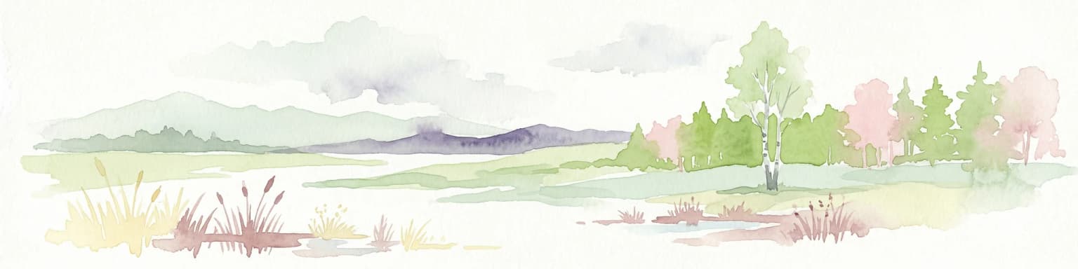
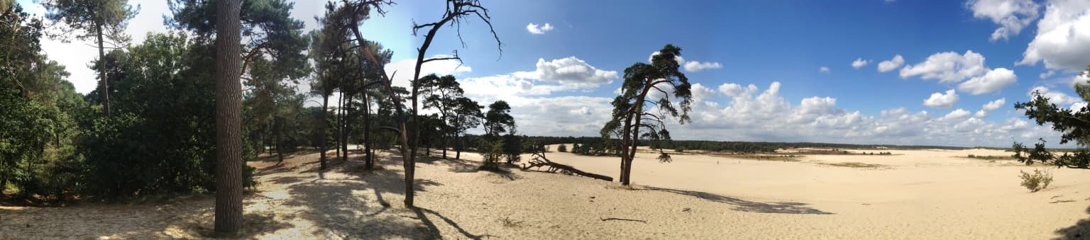
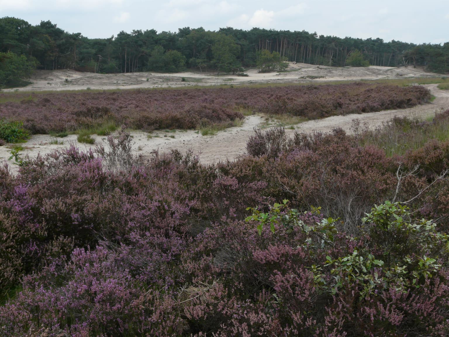
De Loonse en Drunense Duinen is best known for its exceptional living sand drift (stuifzand) landscape, one of the largest and most dynamically active in North Europe. The park's extensive dunes, some reaching heights of 24 meters, create a striking terrain more typical of desert landscapes than the Dutch countryside, earning the area its "Brabant Sahara" nickname. The contrast between the open, windswept sand plains and the surrounding dense coniferous forests defines the park's distinctive character. The microclimate created by the dunes supports specialized plant and animal communities that are rare in the Netherlands, while the Zandleij stream valley provides a different wetland habitat supporting amphibians and spring flora.
De Loonse en Drunense Duinen National Park history and protected-area timeline
The sand drift landscape of De Loonse en Drunense Duinen originated in the late Middle Ages, emerging from a cycle of environmental degradation that transformed the region's original oak forest cover. Until that period, modest farming communities could sustainably inhabit the area, but increasing population pressure led to overgrazing and intensive turf cutting (plaggen) from the heathlands. This destabilized the soil protection that the vegetation had provided, and erosion accelerated. The Eighty Years' War further intensified environmental damage as military tactics of scorched earth, including actions under the command of William of Orange in the Meierij of Den Bosch region, left large areas of bare sand exposed to wind erosion. The process became self-reinforcing as wind action mobilized increasingly large amounts of sand, burying entire settlements including the medieval village of Westloon and the farm known as de Ersteling. Attempts to stabilize the drifting sand began in the 14th century with oak planting and continued through the 18th and 19th centuries with pine and marram grass. The park was formally established as a national park in 2002 and became part of the new Van Gogh National Park in 2024. During World War II, fourteen resistance fighters were executed in the area by German forces in 1944, though the precise location and graves remain unknown.
De Loonse en Drunense Duinen National Park landscape and geographic character
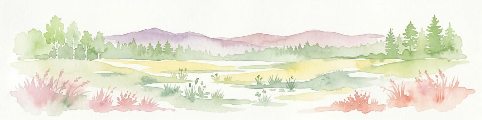
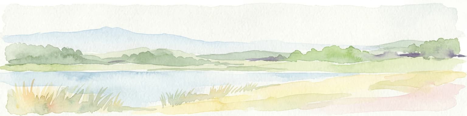
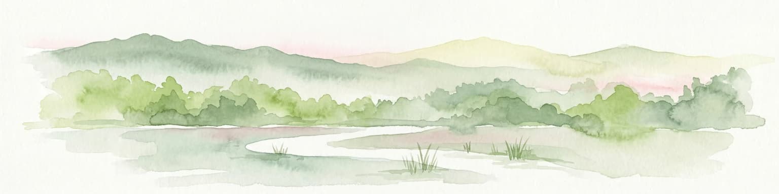
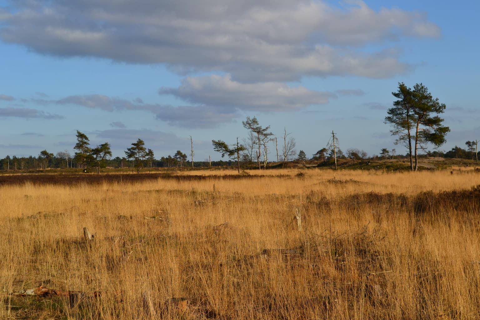
The physical landscape of De Loonse en Drunense Duinen is defined by its remarkable sand dunes, some reaching heights of 24 meters, set within a matrix of heathlands and coniferous forests. The terrain rises visibly above the surrounding agricultural landscape, creating an almost island-like expanse of open sand and woodland. The central sand drift areas are characterized by their动态 nature—the wind continues to shape and move the sand, creating an evolving landscape that differs markedly from static Dutch nature reserves. Around the core dune areas, extensive coniferous plantations were established historically to stabilize the sand, while deciduous woodlands occur in the stream valleys and on slightly more fertile soils. The Zandleij stream valley represents a distinct landscape element, running through the eastern portion of the park and supporting wetland conditions contrasting sharply with the dry dune terrain. The park also includes the De Brand area, a former peat extraction site now characterized by wet meadows, marshy areas, and coppice woodlands.
De Loonse en Drunense Duinen National Park ecosystems, habitats, and plant life
The ecological character of De Loonse en Drunense Duinen centers on the rare and threatened sand drift ecosystem, which represents one of the most significant living sand landscapes in North Europe. The dynamics of wind-blown sand create conditions for specialized pioneer species that can colonize bare sand surfaces, and the maintenance of this process requires active intervention to remove encroaching vegetation. The surrounding coniferous forests and heathlands support different ecological communities, while the Zandleij valley provides contrasting wet conditions with groundwater seepage (kwel) that supports spring flowering species including wood anemone and yellow archangel. The stream valley soils support heavy coppice woodlands on peat and loam substrates where clean groundwater seepage creates suitable habitat for spring flora. These conditions also support notable amphibian populations including tree frogs, natterjack toads, and great crested newts, species that have declined across much of the Netherlands. The park's position within the Natura 2000 network reflects its European-level conservation significance for these habitats and species.
De Loonse en Drunense Duinen National Park wildlife and species highlights
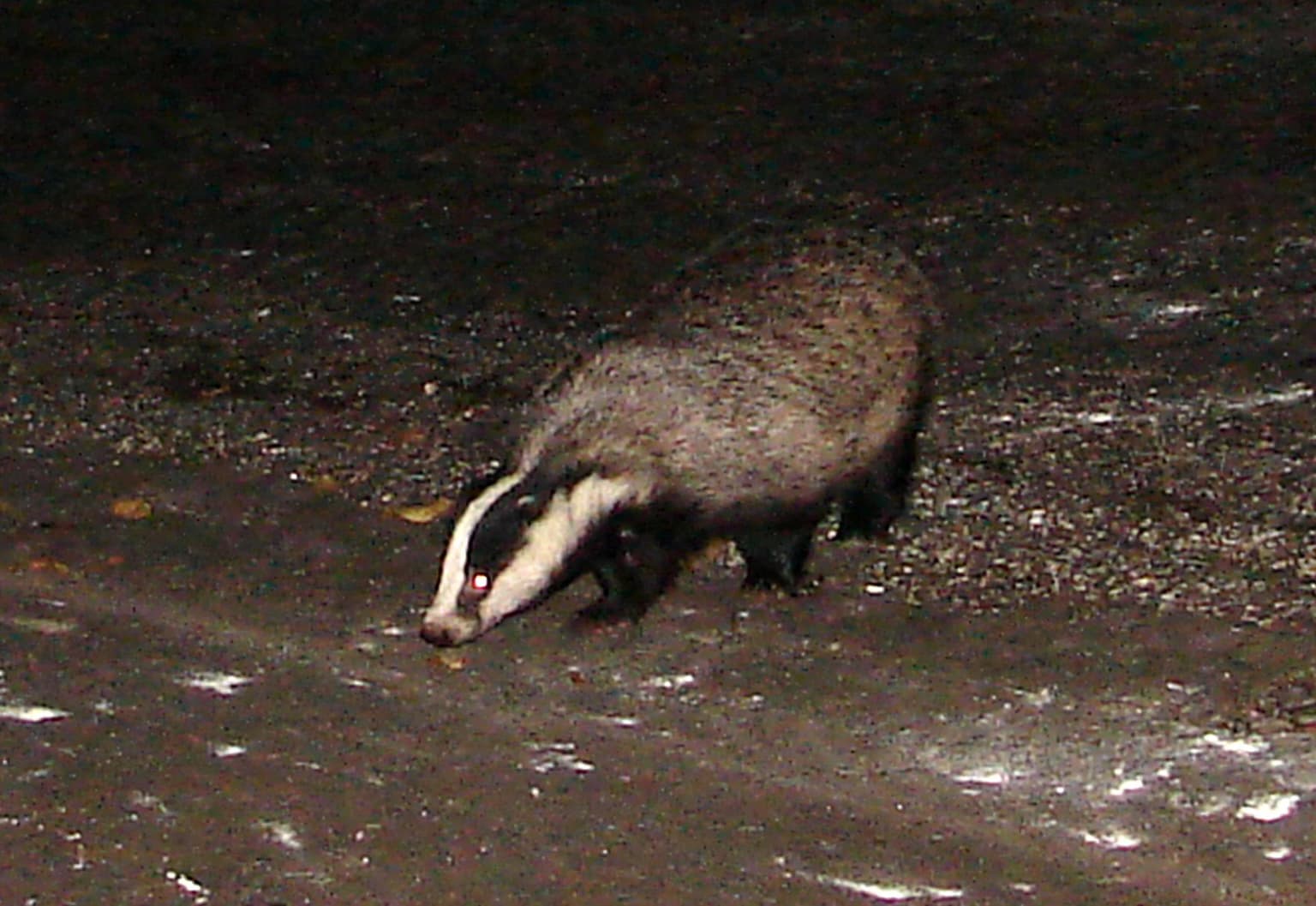
The wildlife of De Loonse en Drunense Duinen reflects the varied habitats within the park, from the open sand areas through heathlands to the wetland stream valley. After a long period of absence, European badgers have returned to the area and now maintain established populations within the park. Roe deer and foxes are common throughout the woodland and heathland areas, finding sufficient habitat in this relatively isolated protected area. The Zandleij valley and surrounding wetlands support important amphibian communities, with tree frogs, natterjack toads, and great crested newts all present in significant numbers due to the clean groundwater conditions. The park also supports populations of sand lizards and other reptiles, while the recently constructed Westloonse Wissel ecoduct (opened 2015) facilitates migration between the park and adjacent nature areas, supporting species including natterjack toads, martens, and butterflies. However, increasing isolation from surrounding development makes wildlife migration increasingly challenging for many species.
De Loonse en Drunense Duinen National Park conservation status and protection priorities
De Loonse en Drunense Duinen holds significant conservation importance as one of the largest living sand drift areas in North Europe, a habitat type that has become extremely rare on the continent. The park is designated as a Natura 2000 site under the European Union's nature conservation framework, recognizing its importance for maintaining biodiversity at a continental scale. The conservation challenge here centers on maintaining the dynamic processes that create the open sand landscape—without active management including tree removal and vegetation control, natural succession would rapidly transform the sand plains into closed forest, losing the unique habitat entirely. The park is managed by Vereniging Natuurmonumenten, Het Brabants Landschap, De Duinboeren, and private landowners, coordinating these different management approaches to maintain the ecological values. The 2015 opening of the Westloonse Wissel ecoduct addresses connectivity concerns, creating a wildlife crossing between the main park area and the Huis ter Heide nature area to facilitate genetic exchange between isolated animal populations.
De Loonse en Drunense Duinen National Park cultural meaning and human context
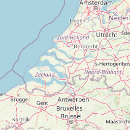
The landscape of De Loonse en Drunense Duinen carries deep historical roots in the agricultural and cultural history of North Brabant. The area was shaped by centuries of human activity, from medieval farming through the turbulent period of the Eighty Years' War when military operations accelerated the formation of the sand drift landscape. The buried village of Westloon and farm de Ersteling remain as archaeological features beneath the shifting sand, silent testimony to the environmental transformations that created the present landscape. The park is surrounded by a ring of towns and villages including Tilburg, Waalwijk, 's-Hertogenbosch, Loon op Zand, and Helvoirt, with Kaatsheuvel and its famous Efteling theme park located immediately adjacent to the western boundary. The area includes several historic estates including Plantloon near Kaatsheuvel and the Strijdhoef castle and estate in the Zandleij area, reflecting the long history of landed estates in this region of Brabant.
Top sights and standout views in De Loonse en Drunense Duinen National Park
The park's standout features include its exceptional living sand drift landscape—one of the largest in North Europe—towering dunes reaching 24 meters in height, and the stark visual contrast between the open "Brabant Sahara" and surrounding dense woodlands. The area provides rare habitat for North European sand drift specialists and supports significant amphibian populations in the Zandleij valley wetlands. The 2015 ecoduct represents a notable conservation achievement, while the park's integration into the new Van Gogh National Park in 2024 creates new opportunities for regional conservation and tourism. The landscape offers distinctive recreation opportunities including extensive hiking and cycling networks through varied terrain.
Best time to visit De Loonse en Drunense Duinen National Park
The park can be visited year-round, though each season offers a different experience of this heathland and dune landscape. The open sand areas are most evocative during dry, windy periods in spring and summer when the sand drift dynamics are most active and the dune landscape appears most alive. Autumn brings beautiful color changes in the surrounding woodlands and heathlands, while winter snow can create striking scenes on the dunes contrasting with the dark coniferous forests. The spring months are particularly rewarding for wildlife observation, especially in the Zandleij valley where spring flowers bloom and amphibians become active around the wetland areas. Summer weekends can be busy on the main paths, particularly between Café De Rustende Jager and De Drie Linden, while weekday visits or winter months offer more tranquil experiences of this unique Dutch landscape.