Mori Atlas logo
National parkUtrechtse Heuvelrug National Park

Discover the mapped terrain, heathlands, and forests of this key Dutch protected area.

Utrechtse Heuvelrug National Park: A Protected Landscape on the Glacial Ridge

(Nationaal Park Utrechtse Heuvelrug)

Utrechtse Heuvelrug National Park represents a significant protected natural landscape within Utrecht Province, notable for its distinctive glacial push moraine. This park offers an atlas-driven view of rolling hills, extensive heathlands, dynamic shifting sands, and mature forests shaped over millennia. As a crucial conservation area in the Netherlands, it highlights innovative ecological corridor development and provides a rich geographic context for understanding regional protected land patterns.

National ParkHeathlandGlacial RidgeForest ReserveEcological CorridorWetland
Stylized illustration of a river flowing through a forested landscape with a wooden observation structure, fence, and rolling hills

Utrechtse Heuvelrug National Park

National park

Park overview

Structured park overview, official facts, and landscape profile for Utrechtse Heuvelrug National Park

Utrechtse Heuvelrug National Park park facts, protected area profile, and essential visitor context
Review the core facts for Utrechtse Heuvelrug National Park, including designation, size, terrain, visitor scale, habitats, and operating context in one park-focused overview.

About Utrechtse Heuvelrug National Park

Utrechtse Heuvelrug National Park occupies a unique position in Dutch conservation as the protector of the Utrecht Hill Ridge, a geological formation that rises from the surrounding flat landscape of the western Netherlands. The park's establishment in 2003 marked a significant step in preserving the natural and cultural values of this region, which had faced increasing pressure from urban development and habitat fragmentation. The 2013 expansion, which added 4,000 hectares north of the A12 highway through the construction of the Mollebos ecoduct, transformed the park into a truly connected landscape spanning from the Gelderse Vallei to the Rhine floodplains. The park sits within a broader regional vision called 'Heel de Heuvelrug' (Whole Utrecht Ridge), which aims to eventually protect the entire ridge from Gooimeer to the Grebbeberg. Unlike many Dutch national parks, Utrechtse Heuvelrug lacks formal planological status, relying instead on collaborative management among landowners, conservation organizations, and government bodies to achieve protection goals. This cooperative approach has enabled the removal of fencing, the creation of wildlife corridors, and the restoration of natural processes across a landscape shaped by centuries of human use including forestry, agriculture, and country estate development.

Quick facts and research context for Utrechtse Heuvelrug National Park

The park covers roughly 10,000 hectares along the Utrecht Hill Ridge in central Netherlands, spanning from Leusden to Rhenen. The landscape is characterized by its glacial moraine origins, with the ridge standing as the most prominent topographic feature between the Veluwe region and the Rhine floodplains. The area supports the Netherlands' second-largest contiguous forest, with remnants of original post-glacial woodlands containing oak and beech. Management involves collaboration between Staatsbosbeheer, Het Utrechts Landschap, Natuurmonumenten, and numerous private landowners.

Park context

Deeper park guide and search-rich context for Utrechtse Heuvelrug National Park

Utrechtse Heuvelrug National Park history, landscape, wildlife, and travel context
Explore Utrechtse Heuvelrug National Park through its history, landscape character, ecosystems, wildlife, conservation priorities, cultural context, and seasonal travel timing in a structured park guide built for atlas discovery and search intent.

Why Utrechtse Heuvelrug National Park stands out

Utrechtse Heuvelrug is best known for its distinctive glacial ridge landscape, which forms the most prominent hill formation in the western Netherlands. The park protects extensive heathlands and shifting sand dunes that have developed on the poor soils of the push moraine, creating a landscape that contrasts sharply with the surrounding agricultural lowlands. The area is renowned for its network of ecoducts and wildlife passages that reconnect fragmented habitats, making it a pioneering example of ecological corridor development in the Netherlands. The combination of historic country estates, castle ruins, and traditional tobacco barns woven throughout the forest adds a cultural dimension that distinguishes this park from other Dutch protected areas.

A forest path lined with trees displaying autumn foliage, covered with fallen brown and orange leaves, leading into the distance under an overcast sky
Forest path with autumn foliage in Utrechtse Heuvelrug National Park

Utrechtse Heuvelrug National Park history and protected-area timeline

The Utrechtse Heuvelrug landscape has origins dating back to the Saalien glaciation, when ice sheets advanced across what is now the Netherlands, depositing morainic material that would eventually form the ridge. In the millennia that followed, wind, water, and human activity reshaped the terrain, creating the diverse soil types and landforms present today. The region underwent intensive transformation during the medieval period and later, as agricultural expansion, reforestation with coniferous species, and the establishment of country estates fundamentally altered the landscape character. The national park was officially opened on October 11, 2003, by Minister Cees Veerman, following the development of a comprehensive management and implementation plan jointly prepared by stakeholders. The 2013 expansion was symbolically marked when a shepherd drove a flock of sheep across the newly completed Mollebos ecoduct, representing the reconnection of habitats that had been separated by the A12 highway and railway. In December 2023, the park was officially recognized as wolf territory following camera recordings of two male wolves, prompting conservation measures for livestock protection.

Utrechtse Heuvelrug National Park landscape and geographic character

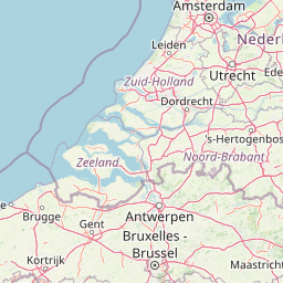
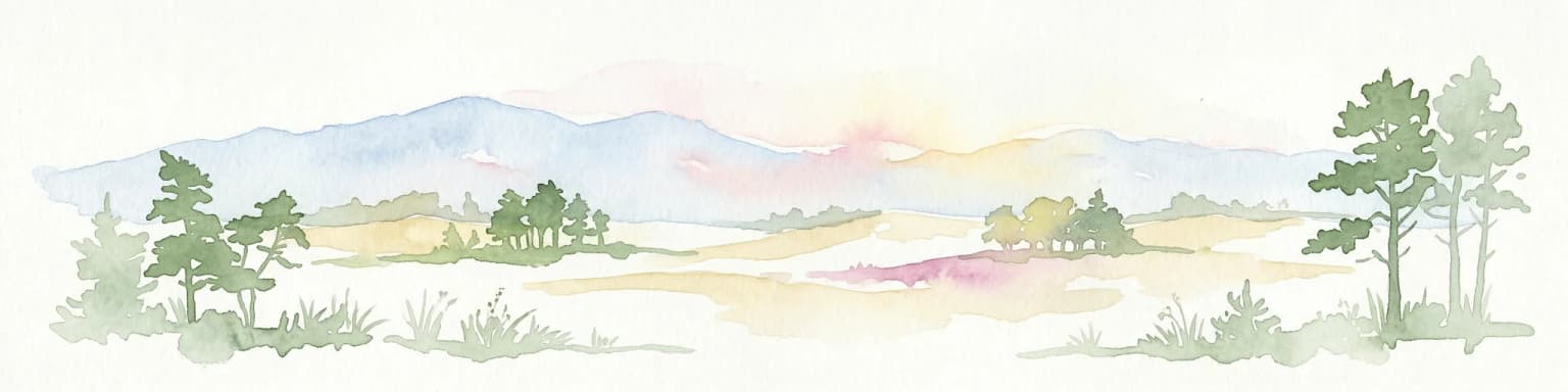
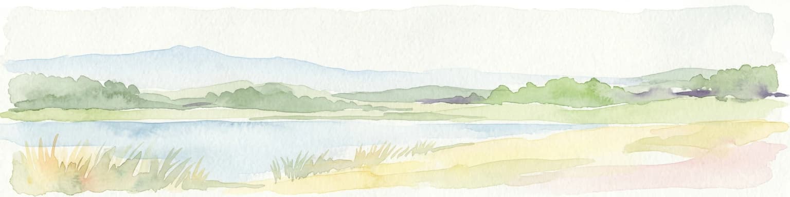
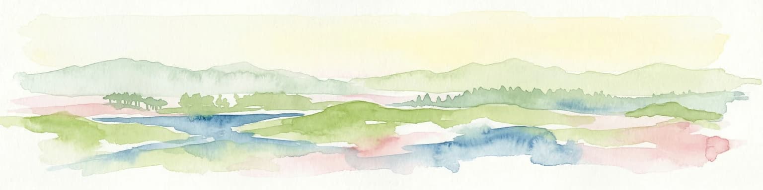
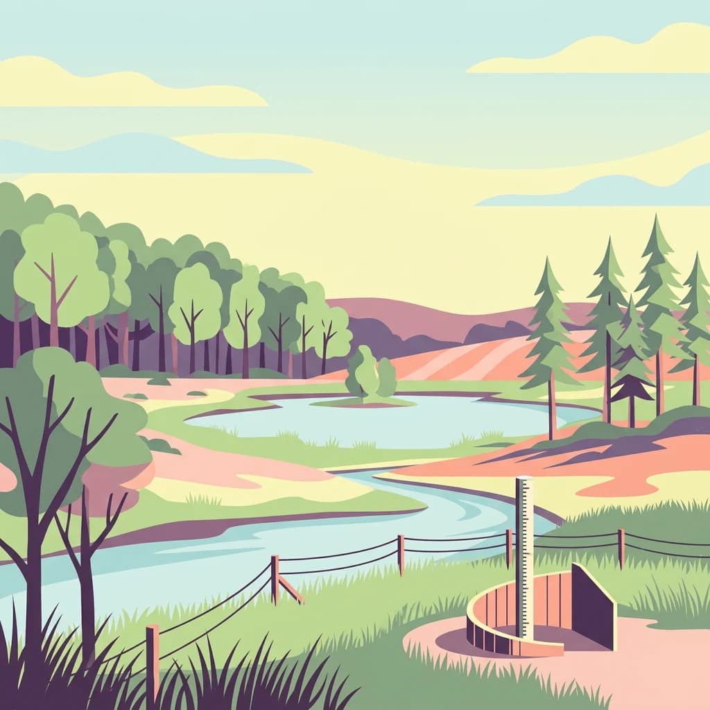
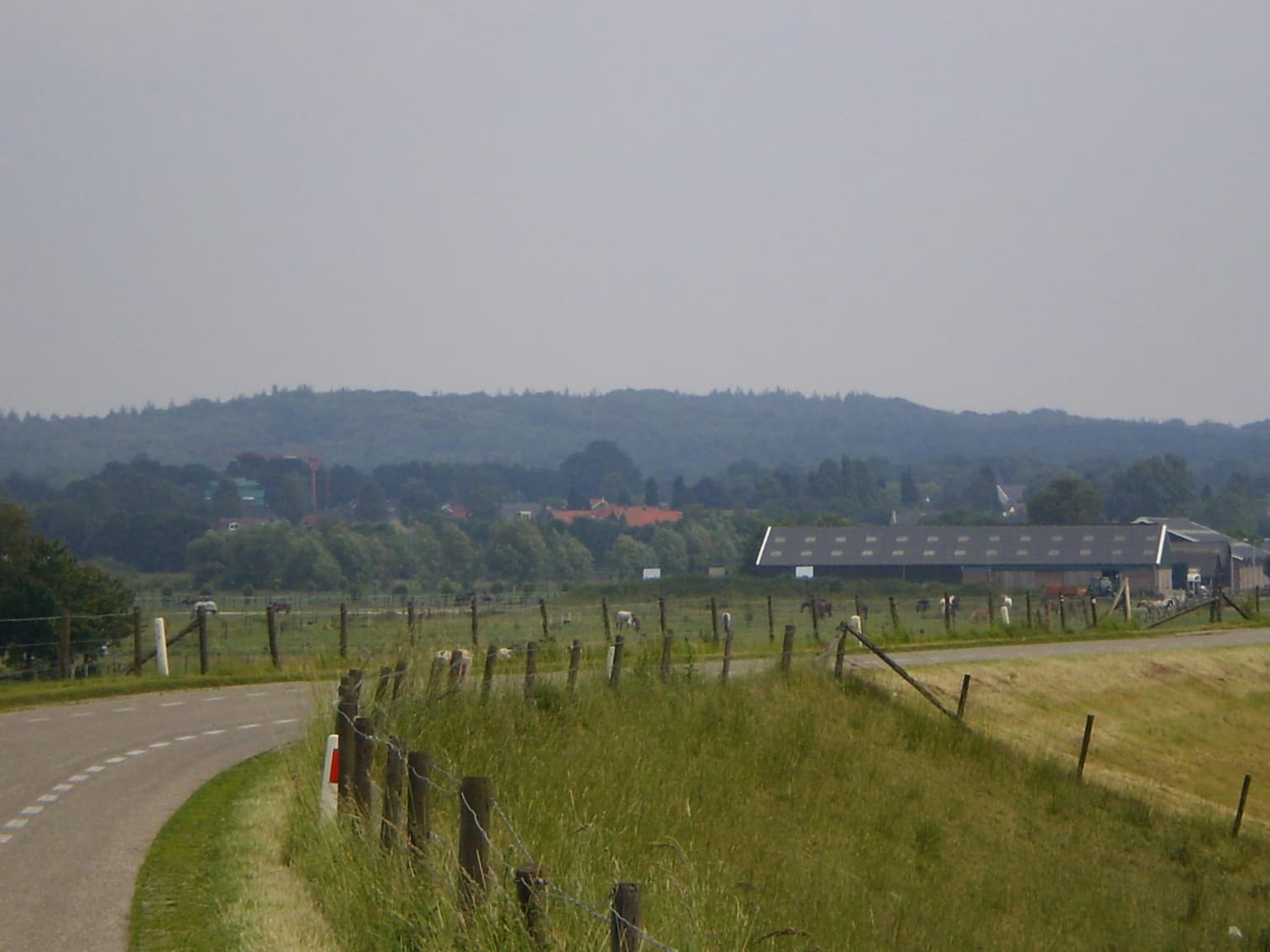
The park is defined by its central geological feature, the push moraine or stuwwal that rises steeply from the surrounding landscape to elevations reaching over 70 meters above sea level. This ridge forms the most prominent natural elevation in the western Netherlands, creating a distinct skyline visible from the surrounding lowlands. The terrain encompasses rolling hills, steep slopes, and sheltered valleys, with the highest points offering sweeping views across the Dutch countryside. Along the southern boundary near Amerongen, the landscape transitions into the river floodplains of the Nederrijn, where wetlands and seasonally inundated meadows create a different ecological character. The park contains extensive areas of heathland, particularly on the poorer sandy soils where vegetation is dominated by heather and gorse. Scattered throughout the forested areas are patches of shifting sand, bare dunes that continue to shift and move due to wind action, maintaining a dynamic landscape process.

A forest path with tall trees and dappled sunlight filtering through the canopy
Forest path with tall trees and dappled sunlight in Utrechtse Heuvelrug National Park

Utrechtse Heuvelrug National Park ecosystems, habitats, and plant life

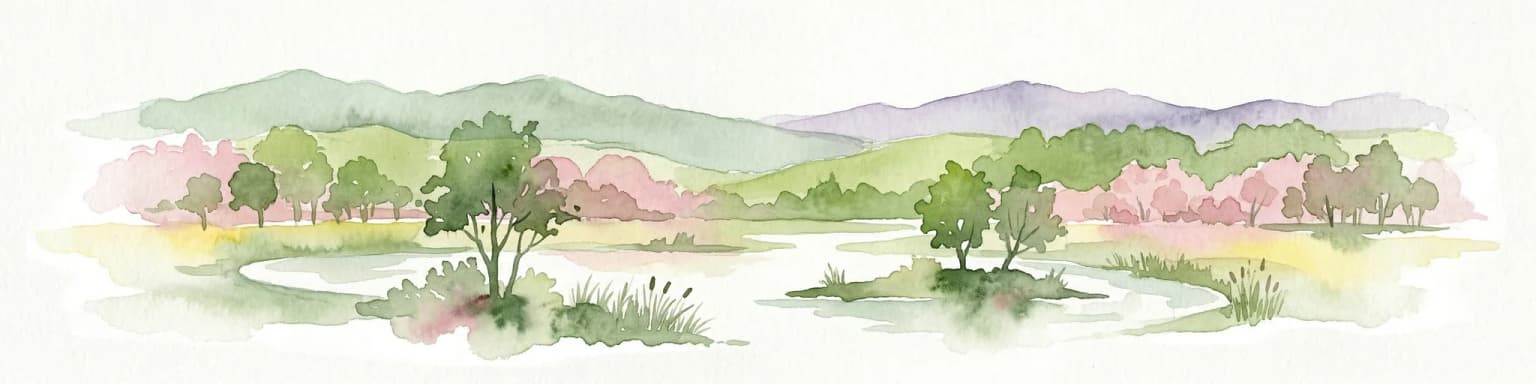
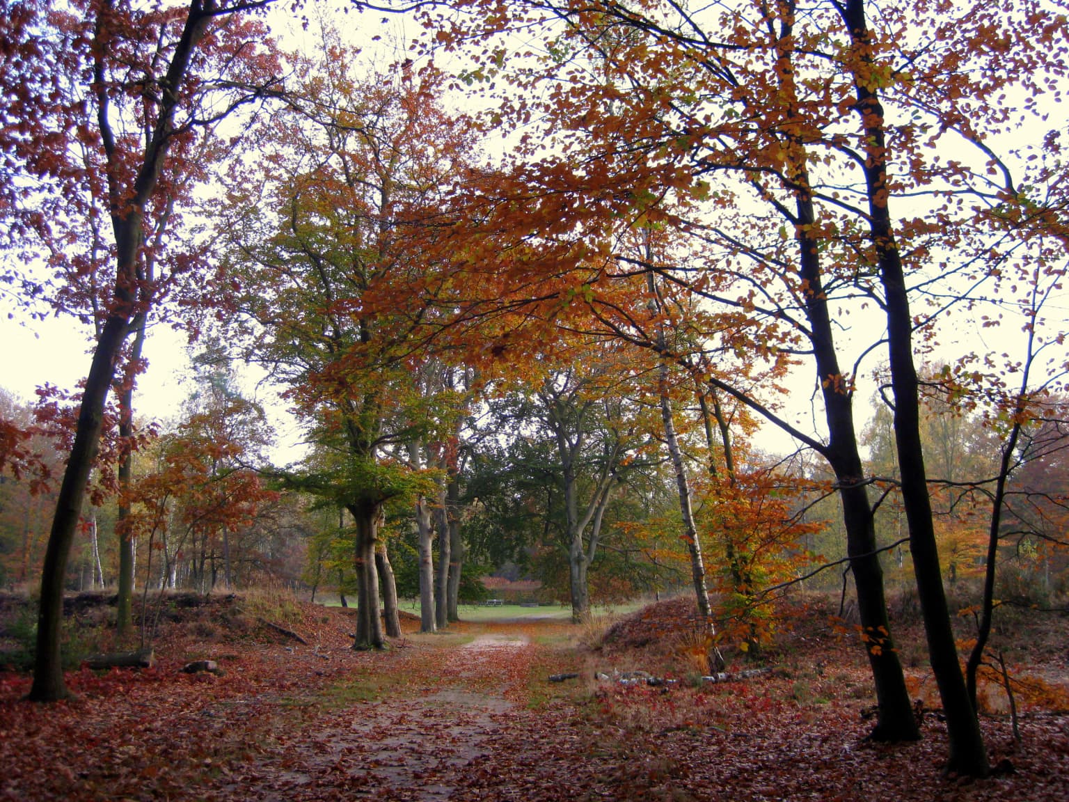
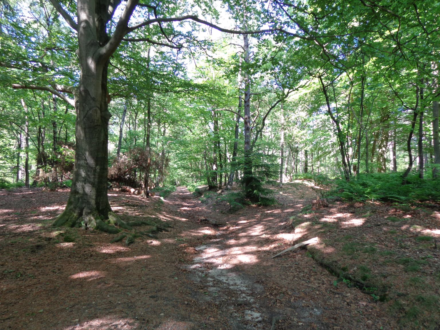
The Utrechtse Heuvelrug represents one of the Netherlands' most important ecological corridors, protecting a range of habitats that support significant biodiversity. The forests, the second-largest contiguous woodland in the country, contain remnants of the original post-glacial forest with native oak and beech still present in some areas. The heathlands, which developed historically through human influence on poorer soils, support specialized plant communities adapted to acidic, nutrient-poor conditions. The shifting sand areas maintain early-successional habitats with pioneer vegetation. Near Amerongen, the river floodplain wetlands provide different ecological conditions, supporting marshland plants and bird species associated with wetter environments. The variety of soil types across the ridge, including podzol soils in forested areas and more primitive vaaggronden in active sand dune areas, reflects the geological complexity of the landscape and contributes to habitat diversity.

A road curves through grassy fields bordered by a fence, with distant trees and buildings under a hazy sky
Grassy fields and a road in Utrechtse Heuvelrug National Park near Amerongen

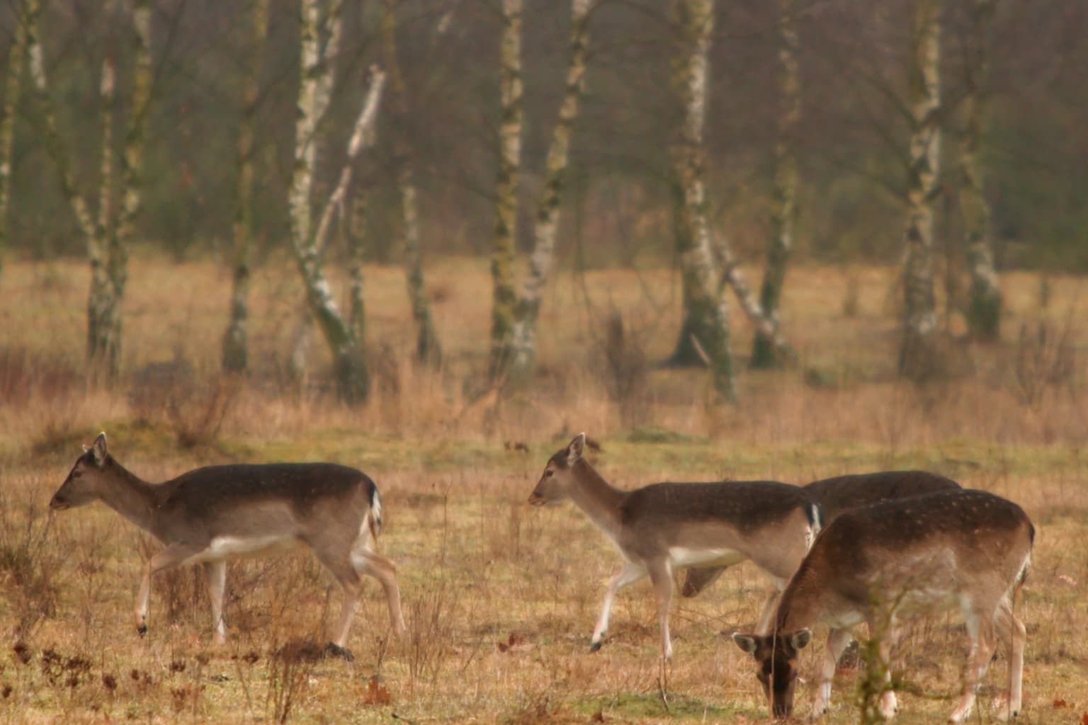
Utrechtse Heuvelrug National Park wildlife and species highlights

The park supports a rich fauna community, with more than 100 bird species recorded within its boundaries. Notable avian residents include the black woodpecker, a species requiring large areas of mature forest, as well as raven, bluethroat, and in the wetland areas near Amerongen castle, the little bittern. Mammal species present include roe deer, red fox, European badger, and the European pine marten, with the tree marten representing one of the rarer mustelid species in the Dutch context. The December 2023 designation of the Utrechtse Heuvelrug as wolf territory marked a significant ecological development, with two male wolves documented by camera traps establishing a home range in the area. The park also supports populations of amphibians, reptiles, bats, butterflies, and dragonflies, reflecting the diversity of habitats contained within its boundaries.

Three deer walking in a grassy field with sparse trees in the background
Three deer walking through a grassy field in Utrechtse Heuvelrug National Park

Utrechtse Heuvelrug National Park conservation status and protection priorities

Utrechtse Heuvelrug National Park plays a crucial role in Dutch conservation as part of a broader strategy to combat habitat fragmentation and ecological isolation. The park's management focuses on creating ecological connectivity through the construction of ecoducts and wildlife passages that allow animals to move safely across the network of highways and railways that bisect the region. The Mollebos ecoduct, completed in 2012, was the first major crossing to reconnect the northern and southern portions of the ridge, enabling the 2013 expansion of the park. Additional ecoducts including Rumelaar and Treeker Wissel further support wildlife movement, while plans call for additional crossings to the north. The establishment of the park was specifically intended to protect the area against incremental loss from urban development and to maintain the cultural and natural values that define the region. The collaborative governance model, involving multiple landowners and conservation organizations, represents a Dutch approach to large landscape conservation that relies on shared stewardship rather than strict statutory protection.

Utrechtse Heuvelrug National Park cultural meaning and human context

The Utrechtse Heuvelrug region carries significant cultural heritage value, with the landscape shaped by centuries of human occupation and use. The area is characterized by numerous country estates, historic villages, and architectural features including tobacco barns and sheepfolds that reflect traditional land use practices. Several castles and country houses are situated within or near the park boundaries, notably Amerongen Castle with its associated gardens and estate lands. The pattern of country estates, many dating from the 17th and 18th centuries, reflects the historical attraction of the ridge as a location for wealthy Dutch families to establish summer residences. The Leusderheide area served historically as a military training ground, a use that has left certain areas with distinctive character. Traditional agricultural practices, including sheep farming, have contributed to the maintenance of open heathland areas that would otherwise succeed to forest without active management.

Top sights and standout views in Utrechtse Heuvelrug National Park

The Utrechtse Heuvelrug offers visitors a distinctive Dutch landscape experience centered on the country's most prominent glacial ridge. The combination of extensive forests, open heathlands, and shifting sand areas creates visual diversity unusual in the Netherlands. The network of ecoducts, visible from key viewpoints, represents an innovative approach to wildlife conservation that visitors can learn about. The proximity of historic elements including castles, country estates, and traditional villages adds cultural depth to the natural landscape. The park receives over one million annual visitors, who are channeled through designated 'gates' and 'green entrances' that concentrate recreational activity at the edges while preserving quieter central areas as wildlife refuges.

Best time to visit Utrechtse Heuvelrug National Park

The park can be enjoyed year-round, though each season offers distinct experiences. Spring brings blooming heathlands and excellent birdwatching opportunities as migratory species return. Summer offers the warmest conditions for outdoor activities on the extensive trail network and provides opportunities to observe species like butterflies and dragonflies in the wetland areas. Autumn colors in the deciduous forests create particularly striking scenery, while winter, though quieter, offers the chance to see wildlife more easily in the bare landscapes and provides a different character to the park's heathlands and ridges.

Park location guide

Geography guide, regional context, and park location map for Utrechtse Heuvelrug National Park

Utrechtse Heuvelrug National Park park geography, regions, and map view in Netherlands
Understand where Utrechtse Heuvelrug National Park sits in Netherlands through a broader geographic reading of the surrounding landscape, nearby location context, and its mapped position within the national park landscape.

How Utrechtse Heuvelrug National Park fits into Netherlands

The Netherlands is a low-lying coastal country in Northwestern Europe, famous for its extensive dike and canal systems that reclaim land from the sea. It consists of twelve provinces and is known for tulips, windmills, and cycling culture. The country is a founding member of the European Union with Amsterdam as its capital and The Hague as the seat of government.

Wider geography shaping Utrechtse Heuvelrug National Park in Netherlands

The Netherlands is located in Northwestern Europe along the North Sea coastline to the north and west. It borders Germany to the east and Belgium to the south. The country is notably flat, with a significant portion of its territory lying below sea level, protected by dikes and dune systems. It consists of twelve provinces and also includes overseas municipalities in the Caribbean.

Map view of Utrechtse Heuvelrug National Park

Use this park location map to pinpoint Utrechtse Heuvelrug National Park in Netherlands, understand its exact geographic position, and read its mapped placement within the surrounding landscape more clearly.

Pigeon | © OpenStreetMap contributors

Location context for Utrechtse Heuvelrug National Park

Utrecht Province

Discover the distinctive push moraine terrain, extensive heathlands, and diverse forest ecosystems through compelling visual references.

Utrechtse Heuvelrug National Park Imagery: Explore Dutch Glacial Ridge Landscapes and Protected Habitats
Browse a curated collection of imagery to visually comprehend Utrechtse Heuvelrug National Park's unique landscapes, including its prominent glacial ridge, expansive heathlands, and ecological corridors. This visual guide offers essential context for understanding the park's diverse habitats, from shifting sands to floodplain wetlands, providing deep insight into its protected natural environment.

A forest path lined with trees displaying autumn foliage, covered with fallen brown and orange leaves, leading into the distance under an overcast sky

Wide landscape view of Utrechtse Heuvelrug National Park featuring brown heathland in the foreground, a body of water (Egelmeer) in the middle ground, scattered trees, and a partly cloudy sky

A forest path with tall trees and dappled sunlight filtering through the canopy

A road curves through grassy fields bordered by a fence, with distant trees and buildings under a hazy sky

Three deer walking in a grassy field with sparse trees in the background

A lake surrounded by grasslands and sparse trees under an overcast sky

Park atlas

Trace connected conservation landscapes, glacial ridge formations, and diverse protected areas across the Utrecht province and adjacent Dutch regions.

Explore National Parks Near Utrechtse Heuvelrug, Tracing Regional Protected Areas and Landscapes
Expand your discovery beyond Utrechtse Heuvelrug National Park to browse other protected areas, comparing distinct landscapes like glacial ridges, extensive forests, and riverine wetlands across the Netherlands. Trace the regional spread of conservation efforts, understanding how these diverse parks contribute to the broader geographic atlas of Dutch natural heritage.
Watercolor painting of rolling hills, green trees, and a winding path
National parkGelderland

De Hoge Veluwe National Park: Mapped Protected Landscape & Geographic Atlas Context

Explore Gelderland's unique heathland, sand dune, and woodland terrain.

De Hoge Veluwe National Park represents a distinctive protected area within the Gelderland region of the Netherlands. Its landscape is characterized by a unique mosaic of heathlands, sand dunes, and woodlands, shaped by ice age processes and historical land use. This page offers an atlas-focused exploration of its geographic setting, mapped boundaries, and the specific terrain that defines this significant natural and cultural heritage site.

Area
55 km²
Established
1935
IUCN
II
Visitors
629.4K annual
Watercolor illustration of a park landscape with a winding stream, grassy fields, and distant hills
National parkGelderland

Veluwezoom National Park: Protected Landscape Atlas and Gelderland Geography

Explore oldest Dutch national park, heathlands, and glacial terrain.

Veluwezoom National Park is the Netherlands' inaugural national park, located in Gelderland. This page provides an atlas-driven exploration of its protected landscape, characterized by rolling heathlands, ancient forests, and dramatic glacial push moraines. Users can discover the park's geographical features, mapped boundaries, and its significance as a conserved natural area within the Veluwe region.

Area
50 km²
Established
1930
IUCN
II
Watercolor illustration of rolling hills, a winding river, and fields with distant mountains
National parkNorth Brabant

Van Gogh National Park: National Park in North Brabant with Dune Landscapes

Explore mapped protected areas and regional geography.

Van Gogh National Park is a significant protected landscape in North Brabant, Netherlands, covering approximately 1,200 square kilometers. This national park is distinguished by its extensive drift sand dune systems, notable heathlands, and wooded valleys, offering a diverse terrain within the Dutch context. Named in tribute to Vincent van Gogh, it merges rich natural landscapes with cultural heritage, serving as a model for collaborative conservation and regional development, all mapped for detailed atlas exploration.

Area
1,200 km²
Established
2024
IUCN
II
Relief
Lowland
Watercolor artwork showing sand dunes, scattered trees, distant mountains, and soft sky
National park

De Loonse en Drunense Duinen National Park: Explore Dutch Protected Sand Drift Landscapes and Heathlands

National Park with unique living sand drift and dune terrain.

Navigate the geographic contours and protected land boundaries of De Loonse en Drunense Duinen National Park, a premier Dutch natural area. This national park is celebrated for its extensive living sand drift, one of the largest in Northern Europe, alongside significant heathlands and coniferous forests. Gain a structured understanding of its landscape character and its role within regional geography through detailed map context and atlas exploration tools.

Area
35 km²
Established
2002
IUCN
II
Relief
Lowland
Watercolor illustration showing a network of rivers, trees, and hills in a wetland landscape
National park

De Biesbosch National Park: A Dutch National Park Mapping Tidal Wetlands and Flood Forests

Explore mapped waterways and diverse protected landscapes.

Delve into the geography of De Biesbosch National Park, a remarkable protected area in the Netherlands renowned for its extensive freshwater tidal wetlands. This national park showcases a unique landscape defined by intricate river systems, dominant willow flood forests, and vital reed beds, serving as a critical habitat for migratory birds and a prime example of wetland restoration. Understand its place within the regional geography through our atlas-driven approach to protected land discovery.

Area
90 km²
Established
1994
IUCN
II
Relief
Lowland
National parkFlevoland

Nieuw Land National Park: Mapped Wetland Landscape on Flevoland's Reclaimed Land

Protected area geography and ecological discovery in the Netherlands

Nieuw Land National Park offers a distinctive protected landscape forged on land recently reclaimed from the sea in the Dutch province of Flevoland. This national park is characterized by its vast expanse of wetlands, artificial islands like the Marker Wadden, and critical importance for migratory bird populations. Delve into the park's geographic context and mapped features to understand its unique conservation value and role within the wider European atlas of protected areas.

Area
289 km²
Established
2018
IUCN
II
Relief
Lowland
National parkLimburg

De Maasduinen National Park: Mapping the Longest River Dune System in the Netherlands

Protected Landscape and Dune Terrain in Limburg

Delve into the geographic identity of De Maasduinen National Park, a vital protected area in Limburg. This page offers detailed insights into its remarkable dune landscape, heathlands, and forests, emphasizing its role within the Dutch natural atlas and its connections to surrounding conservation areas.

Area
45 km²
Established
1996
IUCN
II
Watercolor depiction of rolling coastal dunes, blue waterways, green vegetation, and distant hills under a light sky
National parkNorth Holland

Zuid-Kennemerland National Park: Coastal Dune Protected Landscape in North Holland

Explore its unique mapped terrain and protected area geography.

Zuid-Kennemerland National Park showcases a remarkable coastal dune ecosystem situated in the North Holland province. This national park entry provides detailed insight into its protected landscape, from calcium-rich dune soils supporting rare flora to ancient woodlands and extensive walking trails. Users can explore the park's mapped boundaries, understand its geographic setting within the Netherlands, and appreciate its significance as a conservation area. Discover the natural terrain and ecological richness that characterize this important Dutch protected land.

Area
38 km²
Established
1995
IUCN
II
Visitors
1.8M annual

Common questions about visiting, size, designation, and location context for Utrechtse Heuvelrug National Park

Utrechtse Heuvelrug National Park FAQs for park facts, access, geography, and protected area context
Find quick answers about Utrechtse Heuvelrug National Park, including protected-area facts, park geography, trail and visitor context, and how the park fits into its surrounding country and regional landscape.
MoriAtlas Explorer

Continue Your Protected Areas Search Across the Global Atlas

Deepen your exploration by continuing the structured search for national parks and protected areas worldwide. Utilize the comprehensive filtering capabilities to compare different conservation landscapes and refine your understanding of global park geography. Discover more about the distribution and characteristics of protected natural areas.

Global natural geography