Mori Atlas logo
National parkVan Gogh National Park

Explore one of the Netherlands' largest collaborative national parks and its diverse terrain.

Van Gogh National Park: Mapped Protected Landscape and Geographic Context in North Brabant

(Van Gogh Nationaal Park)

Van Gogh National Park represents a significant addition to the Netherlands' protected areas, officially designated in North Brabant province. This expansive park covers approximately 1,200 square kilometers, integrating dynamic drift sand dunes, expansive heathlands, and wooded valleys. As a 'national park of the new style,' it embodies a unique collaborative governance model that harmonizes conservation efforts with regional development. The park's geographic identity is deeply intertwined with the life of Vincent van Gogh, celebrating the artist's Brabant origins through its diverse natural landscapes and cultural heritage.

New National ParkCultural Heritage ParkVincent van GoghNorth BrabantDune LandscapesHeathland
Stylized illustration showing sand dunes, trees, cliffs, and a river in a landscape

Van Gogh National Park

National park

Park overview

Structured park overview, official facts, and landscape profile for Van Gogh National Park

Van Gogh National Park park facts, protected area profile, and essential visitor context
Review the core facts for Van Gogh National Park, including designation, size, terrain, visitor scale, habitats, and operating context in one park-focused overview.

About Van Gogh National Park

Van Gogh National Park represents a pioneering approach to protected area management in the Netherlands. Unlike traditional national parks with singular management bodies, this park operates as what Dutch sources describe as a "national park of the new style" (nationaal park nieuwe stijl), where governance is distributed across multiple stakeholders including municipal governments, nature conservation organizations, water management authorities, and financial partners. The park encompasses a sprawling rural landscape of more than 100,000 hectares, with a core protected area of approximately 50,000 hectares formerly designated as De Loonse en Drunense Duinen National Park. The landscape is characterized by its gentle but diverse topography—drift sand dunes, forested estates, heathlands, and the meandering Dommel River valley. Beyond nature conservation, the park explicitly aims to promote cultural heritage, sustainability initiatives, and the local economy, reflecting its holistic approach to regional development. The selection of Vincent van Gogh as the park's namesake acknowledges the profound connection between the landscape and the artist's work, as many of van Gogh's early paintings depicted scenes from this same terrain.

Quick facts and research context for Van Gogh National Park

Van Gogh National Park spans the heart of North Brabant province in the southern Netherlands, situated between the cities of 's-Hertogenbosch (Den Bosch), Eindhoven, Tilburg, Helmond, and Breda. The park incorporates several established natural areas including the former De Loonse en Drunense Duinen National Park (the core area at approximately 50,000 hectares), the Dommelvallei valley, Landgoed Pauwels, and portions of the Het Groene Woud national landscape containing areas such as Kampina, De Geelders, and De Mortelen. The park is managed under a collaborative governance model involving multiple municipalities, nature organizations including Natuurmonumenten and IVN, and various societal and financial partners.

Park context

Deeper park guide and search-rich context for Van Gogh National Park

Van Gogh National Park history, landscape, wildlife, and travel context
Explore Van Gogh National Park through its history, landscape character, ecosystems, wildlife, conservation priorities, cultural context, and seasonal travel timing in a structured park guide built for atlas discovery and search intent.

Why Van Gogh National Park stands out

Van Gogh National Park is distinguished by its dual identity as both a cultural landscape tied to one of history's most famous painters and a modern conservation initiative. The park encompasses the drift sand dunes of the Loonse en Drunense Duinen, one of the Netherlands' most extensive dune systems, as well as the wooded valleys and heaths of Het Groene Woud. The connection to Vincent van Gogh is particularly significant, as the artist lived and worked in multiple locations within the park's boundaries, including Nuenen where the iconic Van Gogh church stands. This blend of artistic heritage with diverse Dutch heathlands, forests, and valley landscapes makes the park uniquely positioned in the national park system.

Sandy dune landscape with scattered pine trees and sparse vegetation under an overcast sky
Sandy dune landscape with scattered pine trees under an overcast sky

Van Gogh National Park history and protected-area timeline

The Van Gogh National Park initiative was formally presented on March 30, 2021, marking the beginning of a multi-year process to establish this collaborative protected area. After several years of development and stakeholder coordination, the park received its official National Park status on October 14, 2024, becoming one of the newest additions to the Netherlands' national park system. The establishment followed a distinctive "new style" model that has been increasingly adopted in Dutch conservation, emphasizing partnership-based management over traditional top-down administration. The project brought together an unusual coalition of participants—including multiple municipalities (Meierijstad, Eindhoven, Tilburg, Zundert, Oirschot), nature organizations (Natuurmonumenten, IVN, Het Groene Woud), water authorities (Waterschap De Dommel), financial institutions (Rabobank), and cultural organizations (Kunstloc Brabant)—to jointly shape the park's direction. This collaborative framework reflects evolving Dutch approaches to landscape conservation that integrate ecological preservation with regional economic and cultural development.

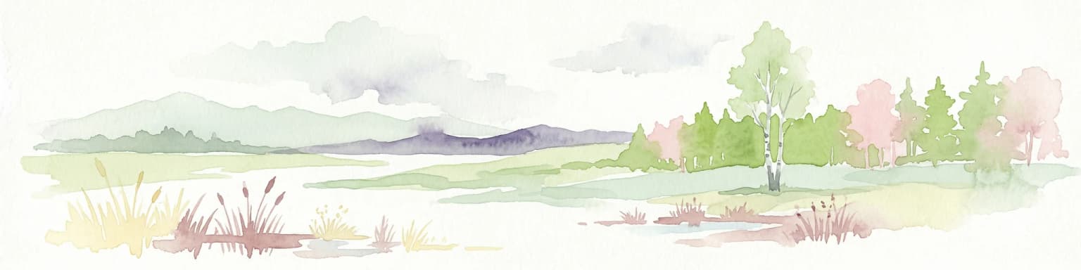
Van Gogh National Park landscape and geographic character

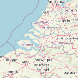
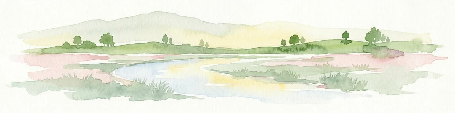
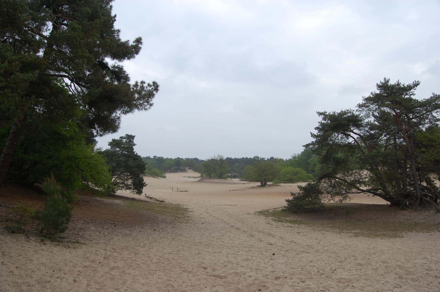
The park's landscape is remarkably varied for the Netherlands, encompassing several distinct terrain types within its boundaries. The Loonse en Drunense Duinen (Loon and Drunen Dunes) forms a central core, featuring one of the country's most extensive drift sand dune systems—a rare landscape in the otherwise flat Dutch terrain. These moving dunes create a dynamic, almost semi-desert environment in the heart of the country. Beyond the dunes, the park includes the wooded Dommelvallei (Dommel Valley), a river valley landscape with meandering waterways and adjacent forests. The Het Groene Woud area contributes additional diversity through its heathlands (heide), forested sections, and open agricultural landscapes. The park spans the region between major Dutch cities, creating an extensive green corridor that provides both ecological connectivity and recreational opportunities within one of the Netherlands' most densely populated regions.

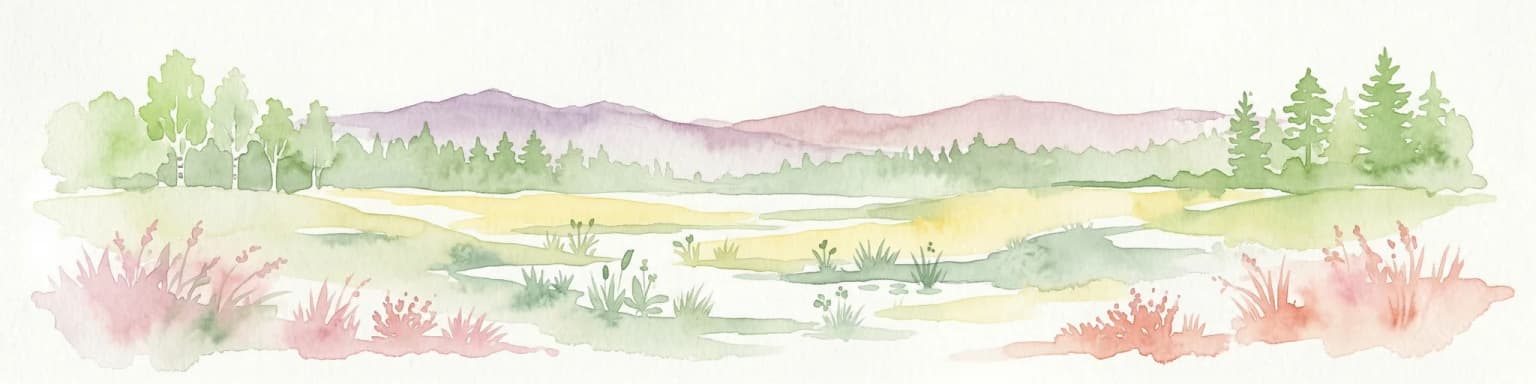
Van Gogh National Park ecosystems, habitats, and plant life

The ecological character of Van Gogh National Park reflects the diverse habitats found within its boundaries. The dune areas support specialized heathland and open sand communities adapted to the nutrient-poor, acidic soils created by the drift sand deposits. These areas represent rare examples of semi-natural heathland in Western Europe, increasingly scarce due to historical agricultural intensification. The Dommelvallei provides wetland and riparian habitats along the river corridor, while the broader park encompasses forest patches, grasslands, and the transitional landscapes between these habitat types. The collaborative management model explicitly aims to maintain and enhance these ecological values while balancing the needs of a populated and cultivated region. The park contributes to broader biodiversity conservation goals in the Netherlands by protecting substantial areas of semi-natural habitat within a landscape that has otherwise undergone significant historical modification for agriculture and settlement.

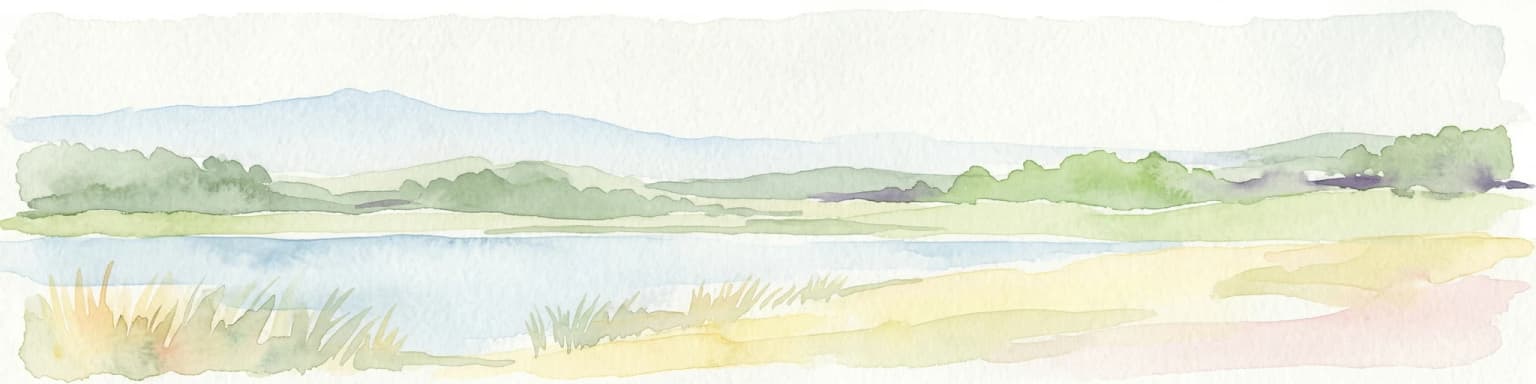
Van Gogh National Park wildlife and species highlights

The diverse habitats within Van Gogh National Park support characteristic Dutch wildlife species adapted to heathland, dune, forest, and valley environments. Heathland areas provide suitable habitat for ground-nesting birds and insects associated with these semi-open landscapes. The forest patches and wooded estates offer breeding and foraging territory for various bird species typical of the Dutch lowlands. The river valley and wetland areas along the Dommel support aquatic and riparian wildlife. While specific species inventories are not detailed in available sources, the park's habitat diversity suggests presence of species typical of Dutch heathland and dune ecosystems, including various passerine birds, small mammals, and invertebrates adapted to these increasingly rare environments.

Van Gogh National Park conservation status and protection priorities

Van Gogh National Park was established with explicit conservation objectives while simultaneously embracing a broader regional development mandate. The park protects the remaining semi-natural landscapes of North Brabant, including the critically endangered drift sand dune systems and heathland habitats that have largely disappeared from the Dutch lowlands through historical land use change. The collaborative governance model represents an innovative conservation approach that seeks to embed environmental protection within broader sustainable development goals, linking nature conservation with cultural heritage preservation, economic development, and community engagement. The designation recognizes that effective landscape conservation in a densely populated country like the Netherlands requires broad stakeholder buy-in and integrated regional planning rather than strict protected area exclusion.

Van Gogh National Park cultural meaning and human context

The park's identity is inextricably linked to Vincent van Gogh, one of the most influential painters in Western art history. Born in Zundert within North Brabant, van Gogh lived and worked in multiple locations throughout the region that now falls within the park's boundaries, including Nuenen where the famous Van Gogh church (the "Van Gogh church" depicted in his paintings) remains a cultural landmark. Many of van Gogh's early works depict the landscapes, peasants, and rural scenes of this same territory—the heathlands, farmhouses, churches, and fields that characterized late nineteenth-century North Brabant. The park's naming explicitly acknowledges this deep connection between the landscape and artistic heritage, making cultural interpretation a core element of the park's purpose alongside nature conservation. This cultural dimension distinguishes Van Gogh National Park from most other Dutch national parks and provides unique opportunities for integrating art, history, and nature in visitor experience.

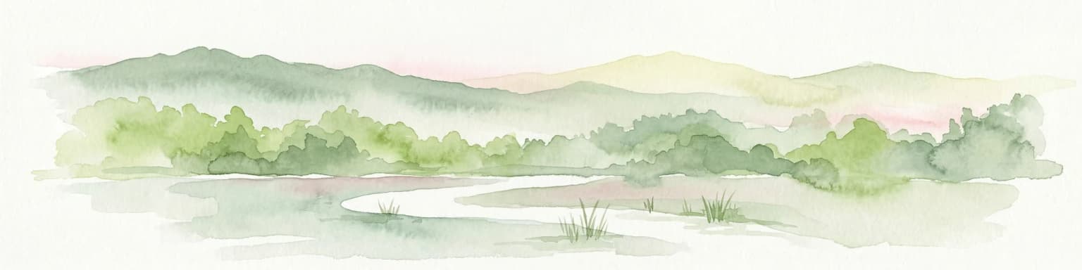
Top sights and standout views in Van Gogh National Park

Van Gogh National Park combines the Netherlands' newest conservation initiative with deep cultural significance through its association with Vincent van Gogh. The park encompasses the remarkable Loonse en Drunense Duinen, one of the country's most extensive drift sand dune systems, creating a landscape more reminiscent of heathland environments than typical Dutch terrain. The collaborative "new style" governance model represents an innovative approach to protected area management that integrates conservation with regional development goals. The proximity to major cities (Eindhoven, Tilburg, 's-Hertogenbosch, Breda) makes this extensive green space particularly valuable for regional quality of life and nature access. The park protects substantial remaining areas of semi-natural habitat—heathland, dune, forest, and valley ecosystems—that have become increasingly rare in the densely populated Netherlands.

Best time to visit Van Gogh National Park

As a newly established park dating from October 2024, specific seasonal visitor guidance remains to be developed through the park's management. Generally, the Dutch lowland landscapes of North Brabant offer year-round visitation opportunities, with spring and early summer (April through June) traditionally providing optimal conditions for experiencing heathland flora and outdoor exploration in the Netherlands. The park's extensive area encompasses diverse terrain that can be appreciated across seasons, though visitors should note that some trail conditions may vary with weather. The connection to van Gogh heritage means the park offers cultural interest beyond pure nature recreation, with the Van Gogh church in Nuenen and other sites of artistic significance providing visitor engagement throughout the year.

Park location guide

Geography guide, regional context, and park location map for Van Gogh National Park

Van Gogh National Park park geography, regions, and map view in Netherlands
Understand where Van Gogh National Park sits in Netherlands through a broader geographic reading of the surrounding landscape, nearby location context, and its mapped position within the national park landscape.

How Van Gogh National Park fits into Netherlands

The Netherlands is a low-lying coastal country in Northwestern Europe, famous for its extensive dike and canal systems that reclaim land from the sea. It consists of twelve provinces and is known for tulips, windmills, and cycling culture. The country is a founding member of the European Union with Amsterdam as its capital and The Hague as the seat of government.

Wider geography shaping Van Gogh National Park in Netherlands

The Netherlands is located in Northwestern Europe along the North Sea coastline to the north and west. It borders Germany to the east and Belgium to the south. The country is notably flat, with a significant portion of its territory lying below sea level, protected by dikes and dune systems. It consists of twelve provinces and also includes overseas municipalities in the Caribbean.

Map view of Van Gogh National Park

Use this park location map to pinpoint Van Gogh National Park in Netherlands, understand its exact geographic position, and read its mapped placement within the surrounding landscape more clearly.

Pigeon | © OpenStreetMap contributors

Location context for Van Gogh National Park

North Brabant

A visual atlas of the park's extensive drift sand dunes, diverse heathlands, and cultural heritage.

Van Gogh National Park Photos: Explore Dutch Landscapes, Habitats, and Cultural Scenery
Browse images showcasing the distinct terrain and diverse ecosystems of Van Gogh National Park, from its iconic drift sand dunes to its wooded valleys and heathlands. Visualizing these protected landscapes offers a deeper understanding of the park's unique blend of natural beauty and profound cultural heritage, revealing its specific environmental character and geographic spread.

Sandy dune landscape with scattered pine trees and sparse vegetation under an overcast sky

Park atlas

Trace the regional geography of other protected landscapes and compare park features within North Brabant.

Explore Nearby National Parks and Protected Areas Surrounding Van Gogh National Park
Continue your exploration from Van Gogh National Park by browsing other national parks and diverse protected areas across the surrounding North Brabant region. Comparing these nearby conservation landscapes reveals unique regional terrain, different management models, and the interconnectedness of Dutch protected geography.
Watercolor artwork showing sand dunes, scattered trees, distant mountains, and soft sky
National park

De Loonse en Drunense Duinen National Park: Explore Dutch Protected Sand Drift Landscapes and Heathlands

National Park with unique living sand drift and dune terrain.

Navigate the geographic contours and protected land boundaries of De Loonse en Drunense Duinen National Park, a premier Dutch natural area. This national park is celebrated for its extensive living sand drift, one of the largest in Northern Europe, alongside significant heathlands and coniferous forests. Gain a structured understanding of its landscape character and its role within regional geography through detailed map context and atlas exploration tools.

Area
35 km²
Established
2002
IUCN
II
Relief
Lowland
Watercolor illustration showing a network of rivers, trees, and hills in a wetland landscape
National park

De Biesbosch National Park: A Dutch National Park Mapping Tidal Wetlands and Flood Forests

Explore mapped waterways and diverse protected landscapes.

Delve into the geography of De Biesbosch National Park, a remarkable protected area in the Netherlands renowned for its extensive freshwater tidal wetlands. This national park showcases a unique landscape defined by intricate river systems, dominant willow flood forests, and vital reed beds, serving as a critical habitat for migratory birds and a prime example of wetland restoration. Understand its place within the regional geography through our atlas-driven approach to protected land discovery.

Area
90 km²
Established
1994
IUCN
II
Relief
Lowland
Watercolor landscape showing green hills, forests, and a small stream with grassy patches
National parkUtrecht Province

Utrechtse Heuvelrug National Park: Mapped Protected Landscape and Geographic Atlas

Discover Utrecht Province's glacial ridge and diverse natural terrain.

Utrechtse Heuvelrug National Park is a significant protected natural area located in Utrecht Province, renowned for its unique glacial ridge topography. This entry provides detailed information about its mapped boundaries, diverse landscapes including heathlands and forests, and its importance as an ecological corridor within the Netherlands. Explore the park's distinct geography and its role in regional conservation through our structured atlas view.

Area
100 km²
Established
2003
IUCN
II
Visitors
1M annual
National park

De Zoom, Kalmthoutse Heide Cross-Border Park: Transboundary National Park & Heathland Atlas

Explore mapped protected boundaries and regional geography.

This page details the De Zoom, Kalmthoutse Heide Cross-Border Park, a significant national park that merges Belgian and Dutch protected territories. It is recognized for its expansive heathland, a crucial ecosystem in the Benelux region, offering a rich visual and ecological study. The park's mapped landscape context reveals its unique geography, from dry heathlands to Ramsar-designated wetlands, providing valuable insight for atlas-based exploration of protected areas. Understand the park's protected area identity and its role within the regional landscape.

Area
37.5 km²
Established
2001
IUCN
II
Watercolor painting of a peat bog ecosystem featuring green trees, pink and yellow vegetation, a body of water, and distant mountains
National park

De Groote Peel National Park: Mapped Boundaries of a Unique Raised Bog & Wetland

Protected area with exceptional birdlife and peat landscape.

De Groote Peel National Park represents a crucial protected landscape in the Netherlands, renowned as one of the last substantial raised bogs in Western Europe. Its terrain is characterized by a distinct blend of open lakes formed by historical peat extraction, heathland expanses, and sensitive peat swamps. This Ramsar-designated wetland is a vital habitat for numerous bird species, offering unique opportunities for landscape context and atlas exploration of its ecological significance and mapped geographic features.

Area
13.4 km²
Established
1993
IUCN
II
Relief
Lowland
National parkLimburg

De Maasduinen National Park: Mapping the Longest River Dune System in the Netherlands

Protected Landscape and Dune Terrain in Limburg

Delve into the geographic identity of De Maasduinen National Park, a vital protected area in Limburg. This page offers detailed insights into its remarkable dune landscape, heathlands, and forests, emphasizing its role within the Dutch natural atlas and its connections to surrounding conservation areas.

Area
45 km²
Established
1996
IUCN
II
Watercolor painting of rolling hills, green trees, and a winding path
National parkGelderland

De Hoge Veluwe National Park: Mapped Protected Landscape & Geographic Atlas Context

Explore Gelderland's unique heathland, sand dune, and woodland terrain.

De Hoge Veluwe National Park represents a distinctive protected area within the Gelderland region of the Netherlands. Its landscape is characterized by a unique mosaic of heathlands, sand dunes, and woodlands, shaped by ice age processes and historical land use. This page offers an atlas-focused exploration of its geographic setting, mapped boundaries, and the specific terrain that defines this significant natural and cultural heritage site.

Area
55 km²
Established
1935
IUCN
II
Visitors
629.4K annual
Watercolor illustration of a park landscape with a winding stream, grassy fields, and distant hills
National parkGelderland

Veluwezoom National Park: Protected Landscape Atlas and Gelderland Geography

Explore oldest Dutch national park, heathlands, and glacial terrain.

Veluwezoom National Park is the Netherlands' inaugural national park, located in Gelderland. This page provides an atlas-driven exploration of its protected landscape, characterized by rolling heathlands, ancient forests, and dramatic glacial push moraines. Users can discover the park's geographical features, mapped boundaries, and its significance as a conserved natural area within the Veluwe region.

Area
50 km²
Established
1930
IUCN
II

Common questions about visiting, size, designation, and location context for Van Gogh National Park

Van Gogh National Park FAQs for park facts, access, geography, and protected area context
Find quick answers about Van Gogh National Park, including protected-area facts, park geography, trail and visitor context, and how the park fits into its surrounding country and regional landscape.
MoriAtlas Explorer

Continue Your Protected Areas Search Across the Global Atlas

Deepen your exploration by continuing the structured search for national parks and protected areas worldwide. Utilize the comprehensive filtering capabilities to compare different conservation landscapes and refine your understanding of global park geography. Discover more about the distribution and characteristics of protected natural areas.

Global natural geography