
Why Vatnajökull National Park stands out
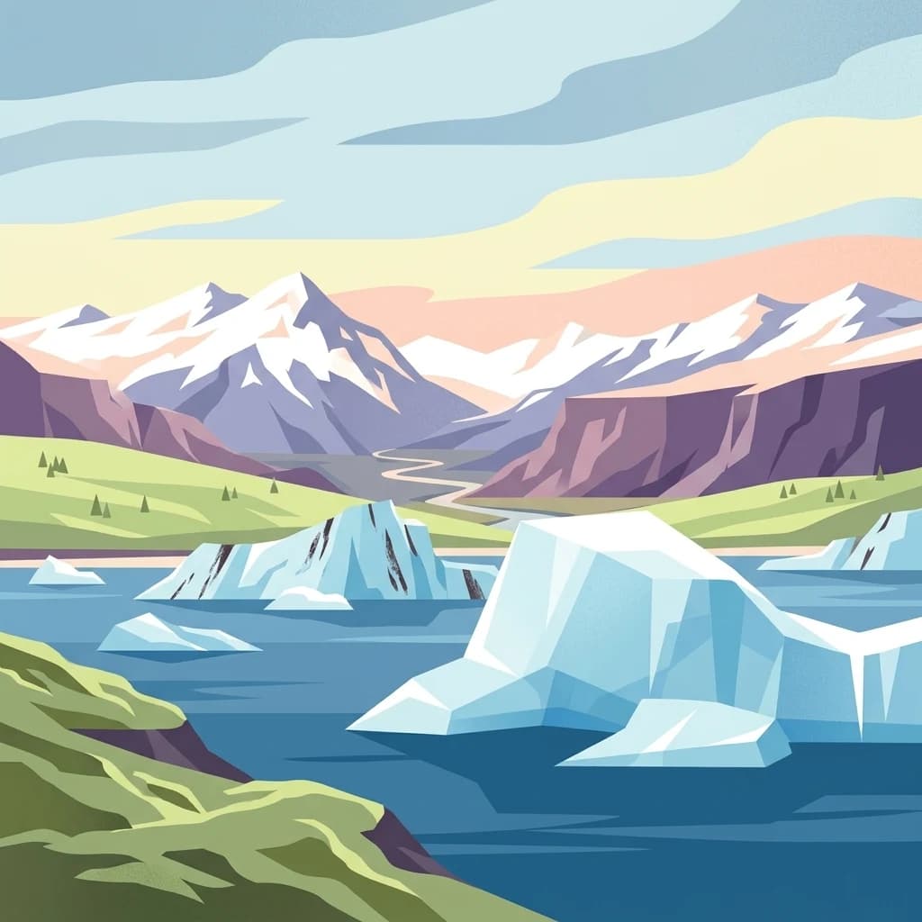
Vatnajökull National Park is renowned for its extraordinary concentration of geological wonders, where the forces of volcanism and glaciation have created a landscape of remarkable variety. The park protects the Vatnajökull ice cap, which conceals numerous active volcanoes and conceals mountain ranges, valleys, and plateaus beneath hundreds of meters of glacial ice. Visitors come to witness the dramatic contrast between volcanic fire and glacial ice, including the powerful Dettifoss waterfall in the north, the spectacular Jökulsárlón glacier lagoon with its floating icebergs in the south, and the dramatic volcanic landscapes of Askja and the Eldgjá canyon. The park also encompasses Iceland's highest mountain peak, Hvannadalshnjúkur, and the massive volcanic crater system of Lakagígar, site of one of the greatest lava eruptions in historical times.
Vatnajökull National Park history and protected-area timeline
Vatnajökull National Park was formally established on June 7, 2008, when the Icelandic government consolidated the former Skaftafell National Park in the southwest and Jökulsárgljúfur National Park in the north into a unified protected area covering approximately 12,000 square kilometers. This consolidation created Iceland's largest national park and reflected a growing recognition that the Vatnajökull glacier and its surrounding landscapes represented a unified ecological and geological system deserving of comprehensive protection. Subsequent expansions added the Lakagígar crater system, Langisjór lake, Krepputunga highlands, and the Jökulsárlón area with its famous glacier lagoon. In 2019, the park was significantly expanded northward to include additional territories around Bárðarbunga and Herðubreið, bringing the total area to approximately 14,967 square kilometers. That same year, on July 5, 2019, Vatnajökull National Park was inscribed on the UNESCO World Heritage List as 'Vatnajökull National Park – dynamic nature of fire and ice,' becoming Iceland's second World Heritage Site. The park's management transitioned to the Náttúruverndarstofnun (Nature Conservation Agency) in January 2025.
Vatnajökull National Park landscape and geographic character
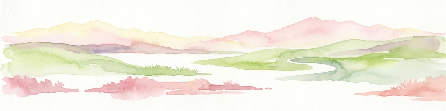
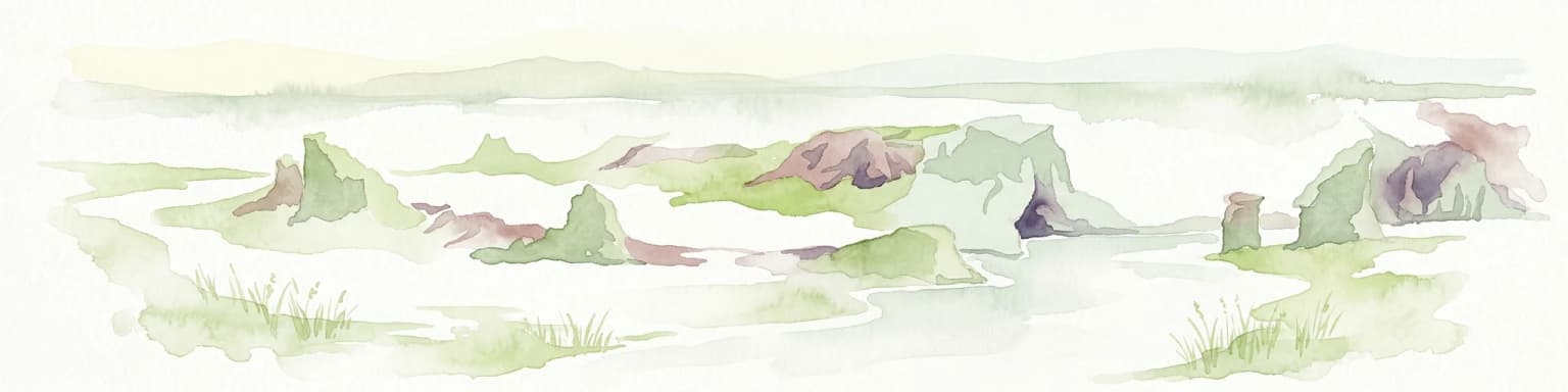
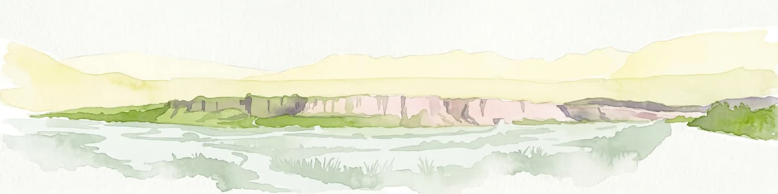
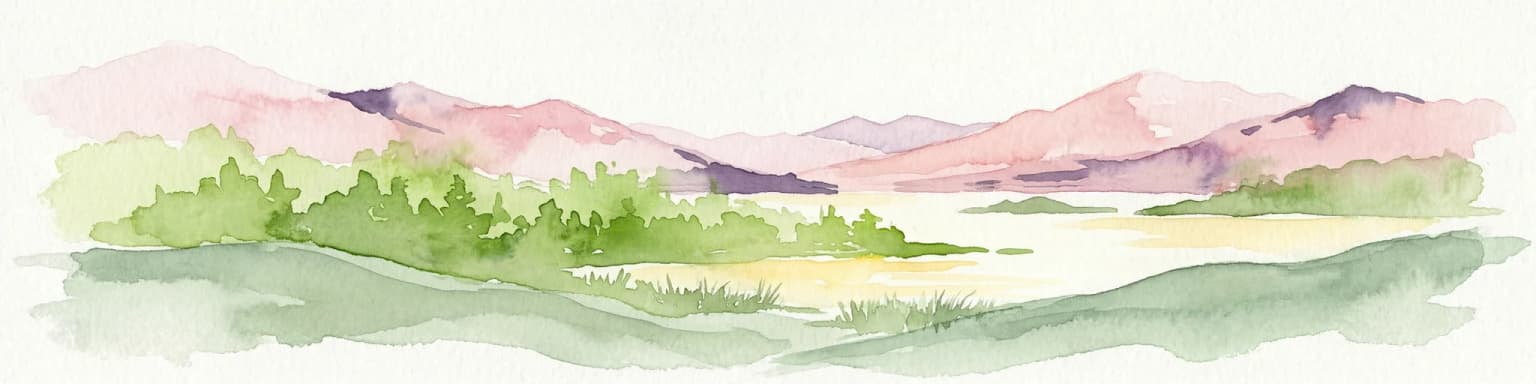
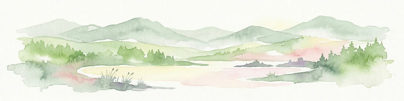
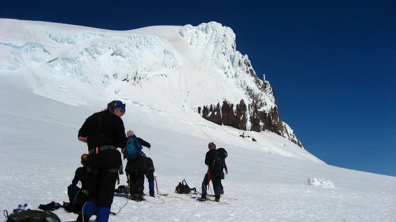
The landscape of Vatnajökull National Park displays extraordinary diversity shaped by the combined forces of volcanic activity, glacial action, and fluvial erosion. The Vatnajökull ice cap, covering approximately 7,700 square kilometers, conceals a complex terrain of mountains, valleys, and plateaus beneath ice that measures 400 to 950 meters in thickness. The glacier rises to over 2,000 meters above sea level while its base reaches 300 meters below sea level in places, making it one of the world's most substantial ice masses relative to its underlying terrain. Active volcanic systems beneath the ice, including Bárðarbunga and Grímsvötn, create dynamic conditions where subglacial eruptions can trigger massive jökulhlaups. The northern territory encompasses the Askja caldera, the dramatic volcanic table mountain Herðubreið, and the spectacular Jökulsárgljúfur canyon carved by ancient glacial floods. The southern territory features the imposing Öræfajökull central volcano with Iceland's highest peak, Hvannadalshnjúkur, and the famous Skaftafell oasis surrounded by black sand plains deposited by glacial rivers. The western territory preserves the dramatic volcanic scar of Eldgjá and the Lakagígar crater row, while the eastern territory encompasses the Snæfell mountain region and the vast uninhabited highlands.
Vatnajökull National Park ecosystems, habitats, and plant life
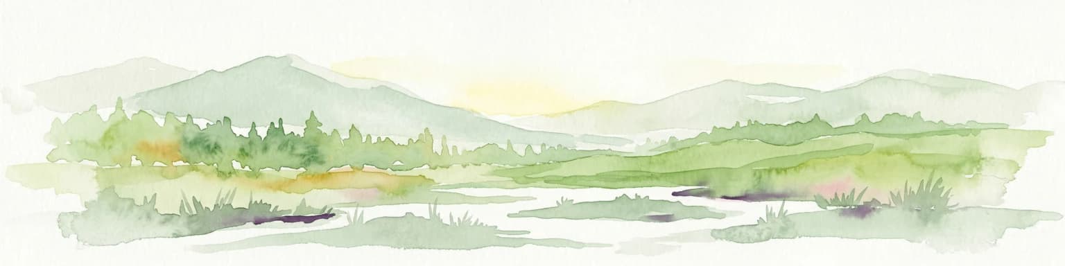
The nature of Vatnajökull National Park is defined by the extraordinary interaction between volcanic and glacial systems, creating habitats that support unique ecological communities adapted to extreme conditions. The park encompasses a remarkable range of ecosystems, from coastal wetlands along the southern coast to alpine environments above the snowline on the glacier itself. The vast wetland areas near Snæfell and in the eastern territories provide crucial habitat for migratory waterfowl, particularly pink-footed geese that congregate in large numbers during the breeding and staging seasons. The reindeer populations that roam the eastern highlands represent an important conservation success story, with herds maintaining viable populations in these challenging environments. The park's vegetation ranges from coastal heath communities and moss-dominated lava fields in lower elevations to virtually absent alpine vegetation on the highest peaks and active volcanic areas. The dynamic nature of the landscape, with ongoing volcanic eruptions and glacial movements, creates a constantly evolving ecological matrix where succession and disturbance interact to produce unique habitat patterns.
Vatnajökull National Park wildlife and species highlights
Wildlife in Vatnajökull National Park reflects the harsh but productive environments found across Iceland's southeastern highlands and lowlands. Reindeer are the most iconic large mammals in the park, with populations particularly concentrated in the eastern territories around Snæfell and in the highlands, where they graze on lichen and vegetation during the summer months. The wetland areas and coastal zones support significant populations of pink-footed geese, one of Iceland's most abundant breeding birds, whose distinctive pink feet and migratory patterns make them a highlight for birdwatchers visiting the park. The park's diverse habitats also support populations of arctic foxes, though these elusive predators are rarely encountered by visitors. Coastal areas near Jökulsárlón attract various seabirds, and the glacial rivers support populations of Atlantic salmon and brown trout in certain reaches, though fishing access is limited within the protected area. The harsh highland environments support minimal terrestrial vertebrate life, with the ecological focus shifting to specialized invertebrates and the remarkable communities of mosses, lichens, and algae that colonize the volcanic substrates.
Vatnajökull National Park conservation status and protection priorities
Vatnajökull National Park represents one of Iceland's most significant conservation achievements, protecting a landscape of outstanding universal value recognized by its 2019 UNESCO World Heritage inscription. The park's conservation significance derives from its role as a living laboratory where the ongoing processes of volcanism and glaciation can be observed and studied, providing critical insights into planetary geological and ecological dynamics. The protection of the Vatnajökull ice cap preserves not only a major European glacier but also the volcanic systems beneath it, maintaining natural processes that shape the broader North Atlantic environment. The park's extensive wetlands and highland areas provide essential habitat for migratory bird populations and reindeer herds, contributing to Iceland's biodiversity conservation framework. The 2019 expansion northward to include the Bárðarbunga volcanic system and Herðubreið enhanced the park's ecological coherence by incorporating additional volcanic and highland ecosystems. Management under the Náttúruverndarstofnun ensures coordinated conservation efforts across the park's multiple territories, balancing protection of natural processes with sustainable visitor access and interpretation.
Vatnajökull National Park cultural meaning and human context
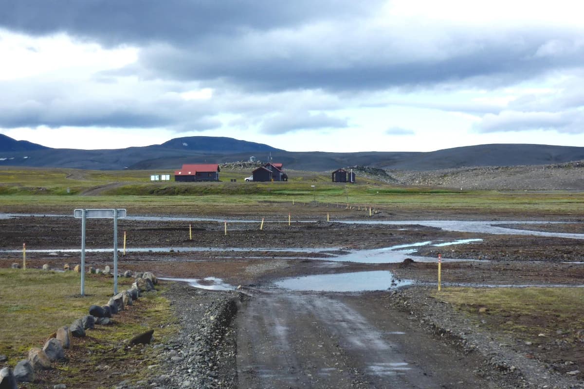
The cultural context of Vatnajökull National Park reflects the long history of human interaction with this dramatic landscape, though the park's core areas have been sparsely populated due to their harsh environmental conditions. The Skaftafell area has served as a grazing region and seasonal dwelling area for centuries, and the name itself refers to the treeline that once characterized this sheltered valley. The northern territories around Jökulsárgljúfur contain archaeological evidence of human presence dating to early settlement periods, with the area historically used for summer grazing and seasonal hunting. The Kirkjubæjarklaustur area in the western territory represents one of the few continuous settlement areas within the park's boundaries, with a history dating to the medieval period when a monastery was established there. The park encompasses landscapes that feature prominently in Icelandic saga literature and folklore, with places like Ásbyrgi—the dramatic horseshoe-shaped canyon—appearing in traditional stories as sites of supernatural events. The volcanic landscapes within the park, particularly the Lakagígar craters, hold historical significance as the site of one of the most devastating eruptions in recorded history, the 1783-1784 Skaftáreldar, whose effects rippled across the Northern Hemisphere.
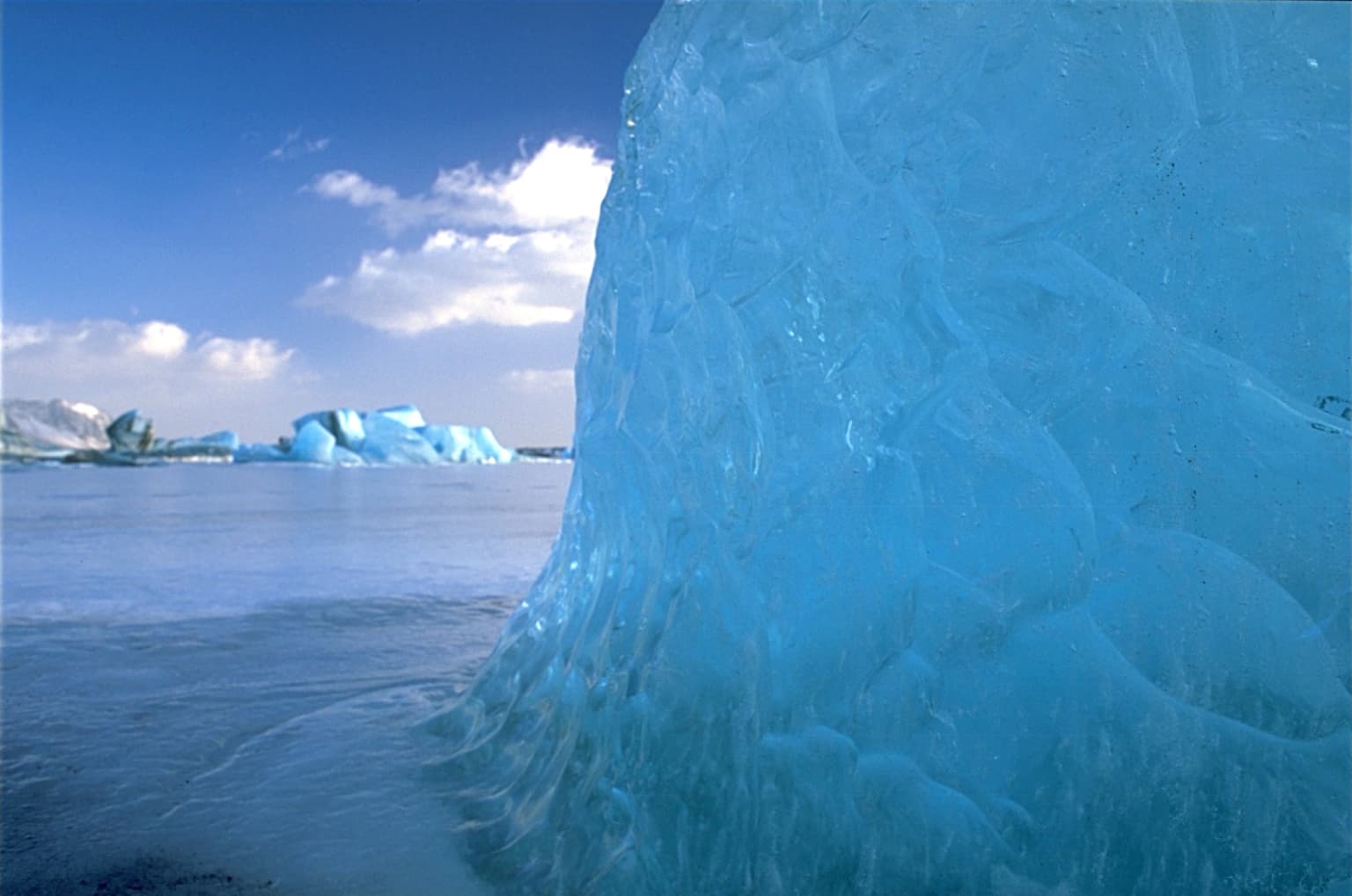
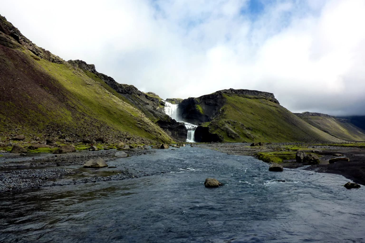
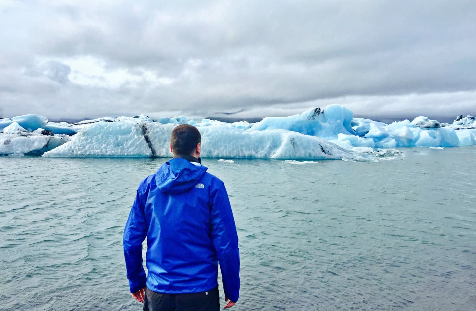
Top sights and standout views in Vatnajökull National Park
Vatnajökull National Park offers extraordinary experiences across its diverse territories, from the dramatic waterfalls and glacial lagoons of the south to the volcanic deserts and caldera landscapes of the interior. The Southern Territory provides access to the iconic Skaftafell area, with its hiking trails through birch woodland and to prominent viewpoints overlooking the glacier, while nearby Jökulsárlón presents the spectacle of icebergs drifting from the glacier face into the Atlantic. The Northern Territory showcases the power of Dettifoss, Europe's most powerful waterfall, along with the remarkable rock formations at Hljóðaklettar and the atmospheric canyon of Ásbyrgi. The Western Territory preserves the dramatic volcanic heritage of Lakagígar and the Eldgjá canyon, where one of history's greatest lava eruptions occurred in the 10th century. The Eastern Territory encompasses the remote Snæfell area and provides access to the highland regions that support reindeer populations. Throughout the park, the ever-present glacier and active volcanic areas remind visitors that they are exploring one of Earth's most dynamic landscapes.
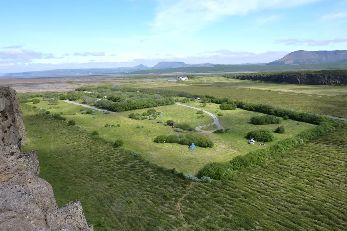
Best time to visit Vatnajökull National Park
The optimal time to visit Vatnajökull National Park depends on the experiences sought, with the summer months of June through August offering the most accessible conditions for exploring the park's diverse territories. During this period, the highland roads that provide access to the interior territories become passable, and visitor services operate at full capacity in all four territories. The Skaftafell visitor center remains open year-round, providing access to the popular trails in the southern territory even during winter, though snow cover limits high-country exploration during the colder months. Summer brings relatively mild temperatures ranging from 10 to 20 degrees Celsius in the lowlands, though weather can change rapidly and highland areas remain cool. The shoulder seasons of May and September offer fewer visitors and the opportunity to experience the park's landscapes with greater solitude, though some visitor services operate on reduced schedules. Winter visits provide the opportunity to experience the park's dramatic winter scenery and the unique atmosphere of the glacier environment, though access is limited to the southern territory and visitors must be prepared for challenging conditions including strong winds, low temperatures, and limited daylight.