
Por qué destaca Parque Nacional Vatnajökull
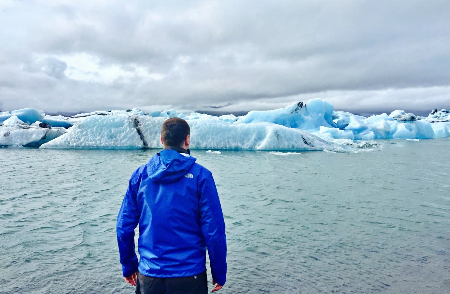
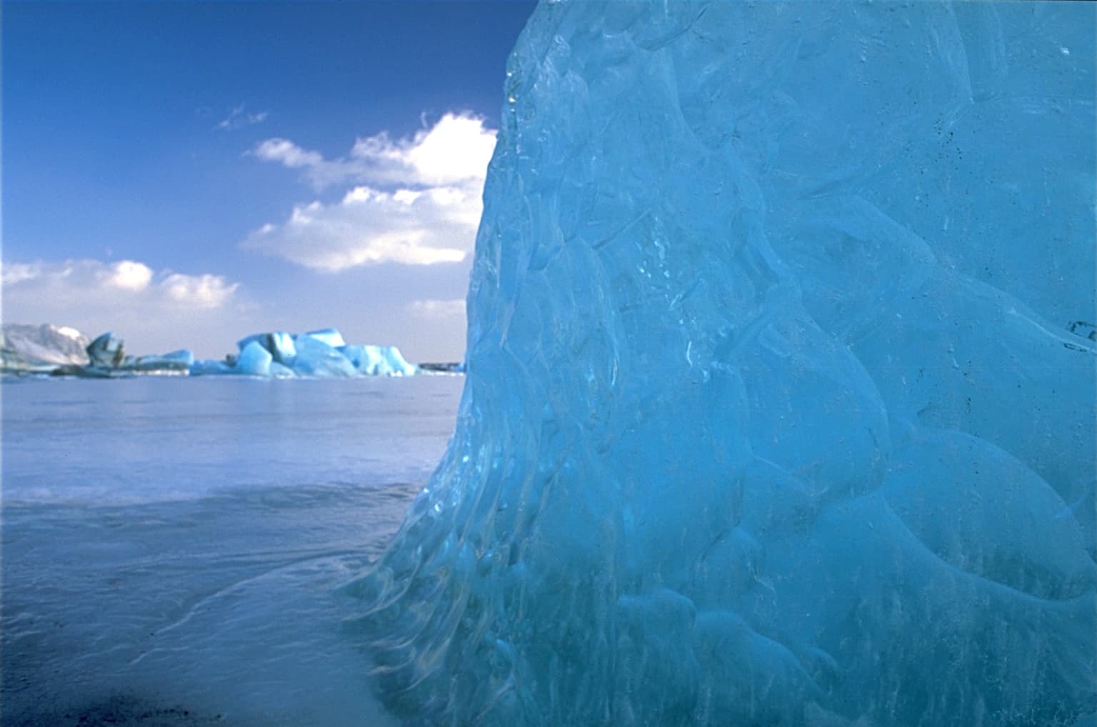
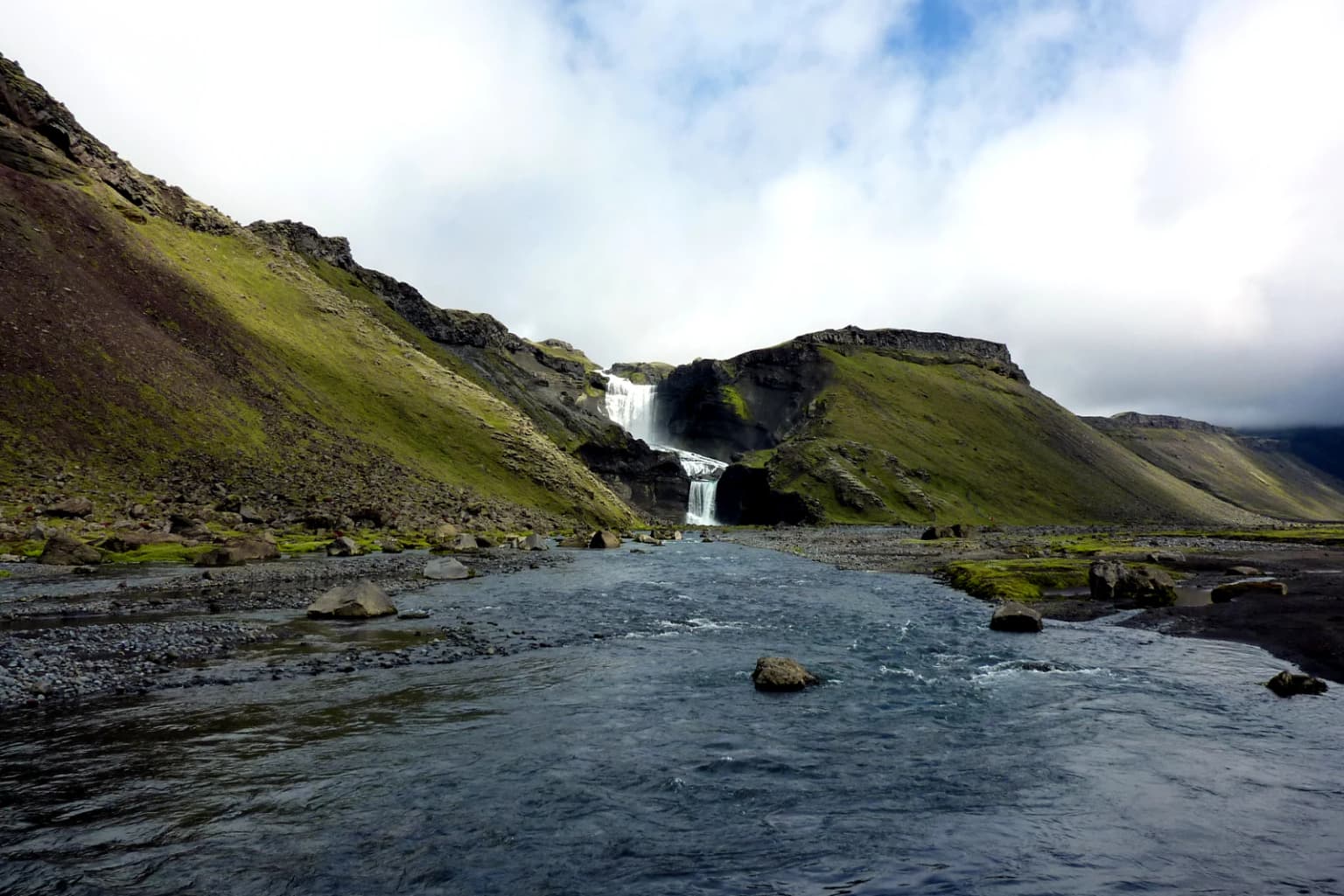
El Parque Nacional Vatnajökull es célebre por su extraordinaria concentración de maravillas geológicas, donde las fuerzas del vulcanismo y la glaciación han creado un paisaje de notable variedad. El parque protege la capa de hielo de Vatnajökull, que oculta numerosos volcanes activos y esconde cadenas montañosas, valles y mesetas bajo cientos de metros de hielo glaciar. Los visitantes acuden a presenciar el dramático contraste entre el fuego volcánico y el hielo glaciar, incluyendo la poderosa cascada Dettifoss en el norte, la espectacular laguna glaciar Jökulsárlón con sus icebergs a la deriva en el sur, y los dramáticos paisajes volcánicos de Askja y el cañón Eldgjá. El parque también abarca el pico montañoso más alto de Islandia, Hvannadalshnjúkur, y el masivo sistema de cráteres volcánicos de Lakagígar, lugar de una de las mayores erupciones de lava de la historia.
Historia de Parque Nacional Vatnajökull y cronología del área protegida
El Parque Nacional Vatnajökull se estableció formalmente el 7 de junio de 2008, cuando el gobierno islandés consolidó el antiguo Parque Nacional Skaftafell en el suroeste y el Parque Nacional Jökulsárgljúfur en el norte en un área protegida unificada que abarca aproximadamente 12.000 kilómetros cuadrados. Esta consolidación creó el parque nacional más grande de Islandia y reflejó un creciente reconocimiento de que el glaciar Vatnajökull y sus paisajes circundantes representaban un sistema ecológico y geológico unificado que merecía una protección integral. Ampliaciones posteriores añadieron el sistema de cráteres Lakagígar, el lago Langisjór, las tierras altas de Krepputunga y el área de Jökulsárlón con su famosa laguna glaciar. En 2019, el parque se amplió significativamente hacia el norte para incluir territorios adicionales alrededor de Bárðarbunga y Herðubreið, elevando el área total a aproximadamente 14.967 kilómetros cuadrados. Ese mismo año, el 5 de julio de 2019, el Parque Nacional Vatnajökull fue inscrito en la Lista del Patrimonio Mundial de la UNESCO como 'Parque Nacional Vatnajökull – naturaleza dinámica de fuego y hielo', convirtiéndose en el segundo sitio del Patrimonio Mundial de Islandia. La gestión del parque se transfirió a la Náttúruverndarstofnun (Agencia de Conservación de la Naturaleza) en enero de 2025.
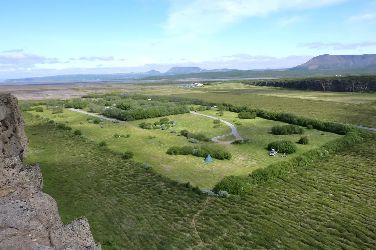
Paisaje y carácter geográfico de Parque Nacional Vatnajökull
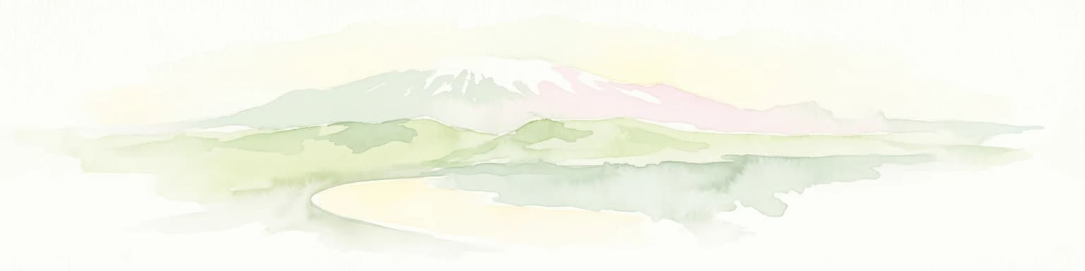
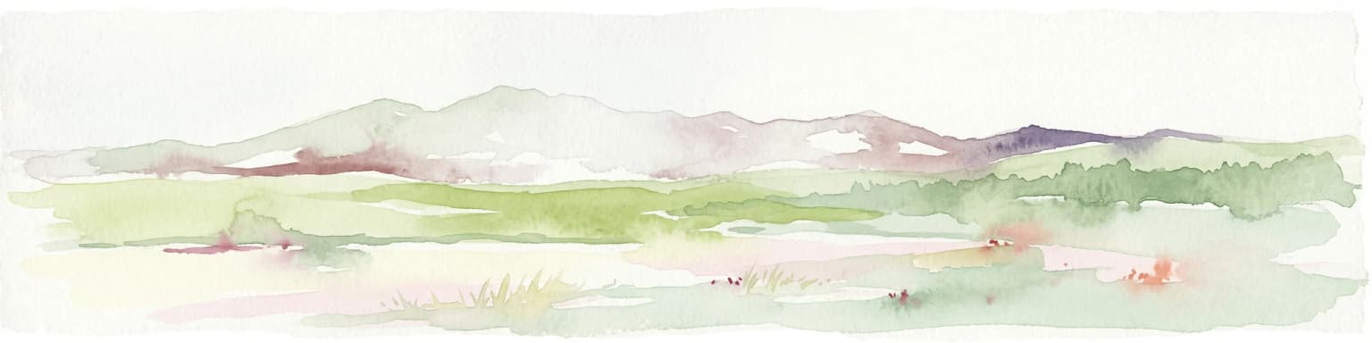
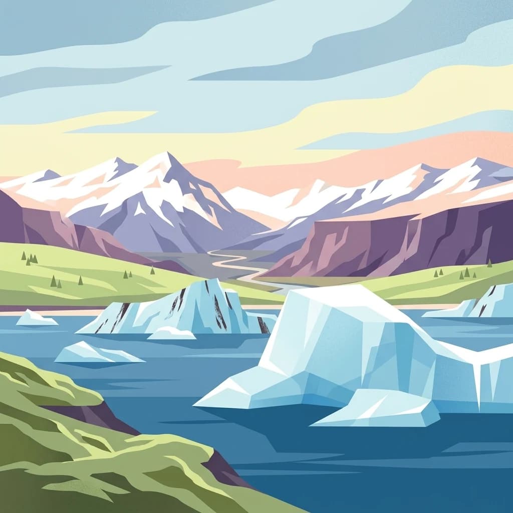
El paisaje del Parque Nacional Vatnajökull muestra una extraordinaria diversidad moldeada por las fuerzas combinadas de la actividad volcánica, la acción glaciar y la erosión fluvial. La capa de hielo de Vatnajökull, que cubre aproximadamente 7.700 kilómetros cuadrados, oculta un terreno complejo de montañas, valles y mesetas bajo un hielo de entre 400 y 950 metros de espesor. El glaciar se eleva a más de 2.000 metros sobre el nivel del mar, mientras que su base alcanza en algunos puntos 300 metros bajo el nivel del mar, lo que lo convierte en una de las masas de hielo más importantes del mundo en relación con su terreno subyacente. Los sistemas volcánicos activos bajo el hielo, incluidos Bárðarbunga y Grímsvötn, crean condiciones dinámicas donde las erupciones subglaciares pueden desencadenar masivos jökulhlaups (inundaciones glaciares). El territorio norte comprende la caldera de Askja, la dramática montaña volcánica en forma de mesa Herðubreið, y el espectacular cañón Jökulsárgljúfur tallado por antiguas inundaciones glaciares. El territorio sur presenta el imponente volcán central Öræfajökull con el pico más alto de Islandia, Hvannadalshnjúkur, y el famoso oasis de Skaftafell rodeado de llanuras de arena negra depositadas por ríos glaciares. El territorio occidental conserva la dramática cicatriz volcánica de Eldgjá y la hilera de cráteres de Lakagígar, mientras que el territorio oriental abarca la región montañosa de Snæfell y las vastas tierras altas deshabitadas.
Ecosistemas, hábitats y flora de Parque Nacional Vatnajökull
La naturaleza del Parque Nacional Vatnajökull está definida por la extraordinaria interacción entre los sistemas volcánicos y glaciares, creando hábitats que albergan comunidades ecológicas únicas adaptadas a condiciones extremas. El parque abarca una notable gama de ecosistemas, desde humedales costeros a lo largo de la costa sur hasta entornos alpinos por encima de la línea de nieve en el propio glaciar. Las vastas zonas de humedales cerca de Snæfell y en los territorios orientales proporcionan un hábitat crucial para las aves acuáticas migratorias, en particular los gansos piquicortos que se congregan en grandes cantidades durante las temporadas de cría y parada. Las poblaciones de renos que deambulan por las tierras altas orientales representan una importante historia de éxito en conservación, con manadas que mantienen poblaciones viables en estos desafiantes entornos. La vegetación del parque varía desde comunidades de matorral costero y campos de lava dominados por musgo en las elevaciones más bajas hasta vegetación alpina prácticamente ausente en los picos más altos y las áreas volcánicas activas. La naturaleza dinámica del paisaje, con erupciones volcánicas y movimientos glaciares continuos, crea una matriz ecológica en constante evolución donde la sucesión y la perturbación interactúan para producir patrones de hábitat únicos.
Vida silvestre y especies destacadas de Parque Nacional Vatnajökull
La fauna del Parque Nacional Vatnajökull refleja los entornos duros pero productivos que se encuentran en las tierras altas y bajas del sureste de Islandia. Los renos son los mamíferos grandes más emblemáticos del parque, con poblaciones particularmente concentradas en los territorios del este alrededor de Snæfell y en las tierras altas, donde pastan líquenes y vegetación durante los meses de verano. Las zonas húmedas y las zonas costeras albergan importantes poblaciones de gansos de patas rosadas, una de las aves reproductoras más abundantes de Islandia, cuyos distintivos pies rosados y patrones migratorios los convierten en un punto culminante para los observadores de aves que visitan el parque. Los diversos hábitats del parque también albergan poblaciones de zorros árticos, aunque estos elusivos depredadores rara vez son avistados por los visitantes. Las áreas costeras cerca de Jökulsárlón atraen a diversas aves marinas, y los ríos glaciares albergan poblaciones de salmón atlántico y trucha marrón en ciertas zonas, aunque el acceso a la pesca es limitado dentro del área protegida. Los duros entornos de las tierras altas sustentan una vida de vertebrados terrestres mínima, y el enfoque ecológico se traslada a invertebrados especializados y a las notables comunidades de musgos, líquenes y algas que colonizan los sustratos volcánicos.