Mori Atlas logo
National parkSnæfellsjökull National Park

Discover the mapped geography and volcanic terrain of this iconic Icelandic national park.

Snæfellsjökull National Park: Iceland's Glacier Volcano and Protected Landscape Atlas

Snæfellsjökull National Park represents a significant protected area on Iceland's Snæfellsnes Peninsula, centered around the dramatic glacier-capped Snæfellsjökull volcano. This national park offers a unique window into a landscape shaped by volcanic activity and glacial forces, featuring surreal lava fields, rugged coastlines, and the striking contrast where ice meets the North Atlantic. As a key entity in the Icelandic geography and protected lands atlas, Snæfellsjökull National Park provides rich context for understanding the island's dynamic terrain and conservation efforts.

GlacierVolcanic LandscapeIcelandSnæfellsnes PeninsulaCoastal CliffsSea Cliffs

Snæfellsjökull National Park

National park

Park overview

Structured park overview, official facts, and landscape profile for Snæfellsjökull National Park

Snæfellsjökull National Park park facts, protected area profile, and essential visitor context
Review the core facts for Snæfellsjökull National Park, including designation, size, terrain, visitor scale, habitats, and operating context in one park-focused overview.

About Snæfellsjökull National Park

Snæfellsjökull National Park protects one of Iceland's most visually striking landscapes where the Snæfellsjökull glacier volcano meets the Atlantic Ocean. The park encompasses a complex volcanic system that has shaped the peninsula over millions of years, creating a landscape of remarkable geological diversity. The glacier itself sits atop a stratovolcano that last erupted around the 9th century, and its ice cap feeds numerous glacial rivers that flow through the park to the sea. The coastal areas feature dramatic sea cliffs that provide nesting habitat for seabirds, while the inland areas contain extensive lava fields formed during various volcanic eruptions throughout Iceland's geological history. The park's position at the western tip of the Snæfellsnes peninsula gives it a maritime climate strongly influenced by the North Atlantic, creating conditions that support specialized vegetation adapted to the harsh coastal environment.

Quick facts and research context for Snæfellsjökull National Park

Snæfellsjökull National Park is situated on the Snæfellsnes peninsula in western Iceland, covering approximately 170 square kilometers. The park centers on the Snæfellsjökull glacier volcano, which rises to 1,446 meters and represents the westernmost volcano in Iceland's volcanic belt. The landscape encompasses lava fields, glacial moraines, coastal cliffs, and sandy beaches shaped by volcanic and glacial processes. The area supports heathland vegetation, moss-covered lava, and coastal bird colonies.

Park context

Deeper park guide and search-rich context for Snæfellsjökull National Park

Snæfellsjökull National Park history, landscape, wildlife, and travel context
Explore Snæfellsjökull National Park through its history, landscape character, ecosystems, wildlife, conservation priorities, cultural context, and seasonal travel timing in a structured park guide built for atlas discovery and search intent.

Why Snæfellsjökull National Park stands out

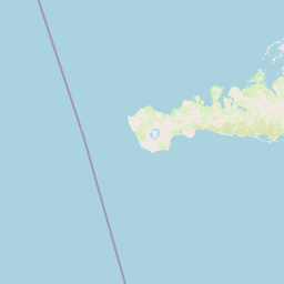
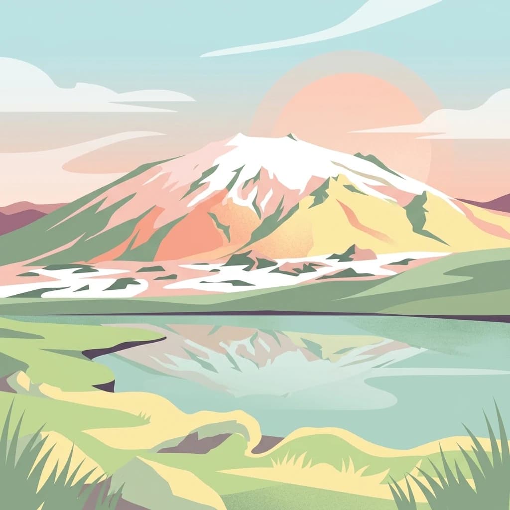
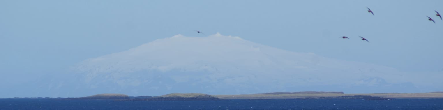
Snæfellsjökull National Park is best known for the iconic Snæfellsjökull glacier volcano, which stands as a symbolic peak at the tip of the Snæfellsnes peninsula where glacier meets sea. The park is famous for its dramatic contrast between the ice-capped volcanic summit and the volcanic landscapes below, including surreal lava formations, sea caves, and black sand beaches. The geological diversity, with features like the Lúdentshraun lava field and Kirkjufell mountain nearby, makes this area one of Iceland's most photographed landscapes.

Snæfellsjökull National Park history and protected-area timeline

Snæfellsjökull National Park was established in 2001, making it one of Iceland's younger national parks. The protection of this area reflected growing recognition of the region's geological significance and natural beauty, as well as the need to preserve its cultural heritage. The park's creation followed decades of discussion about how best to manage the Snæfellsnes peninsula's unique landscapes. Before national park status, various portions of the area had been protected under different designations. The establishment unified protection across the glacier volcano and surrounding landscapes, creating a cohesive conservation framework for the peninsula's most significant natural areas.

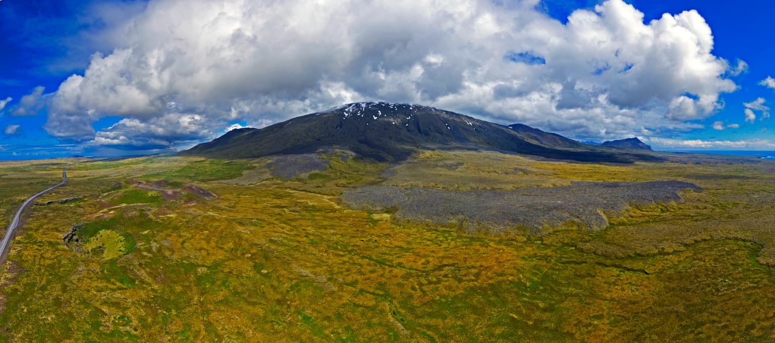
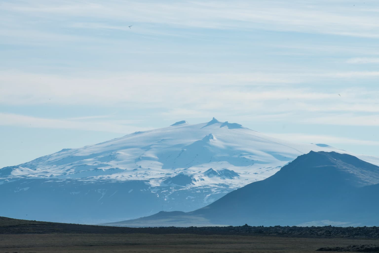
Snæfellsjökull National Park landscape and geographic character

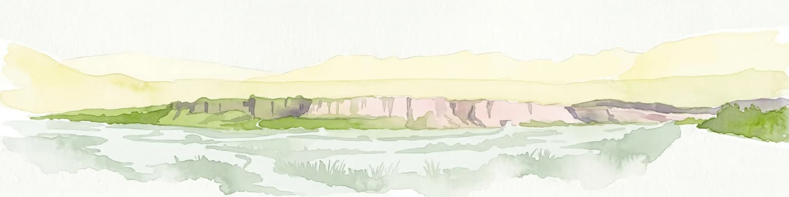
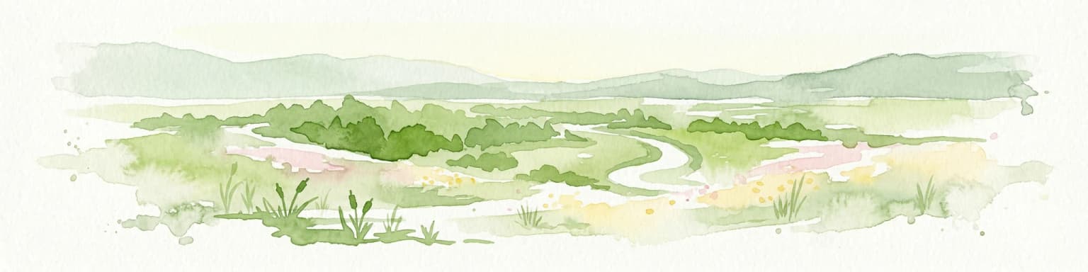
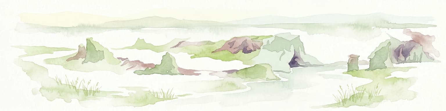
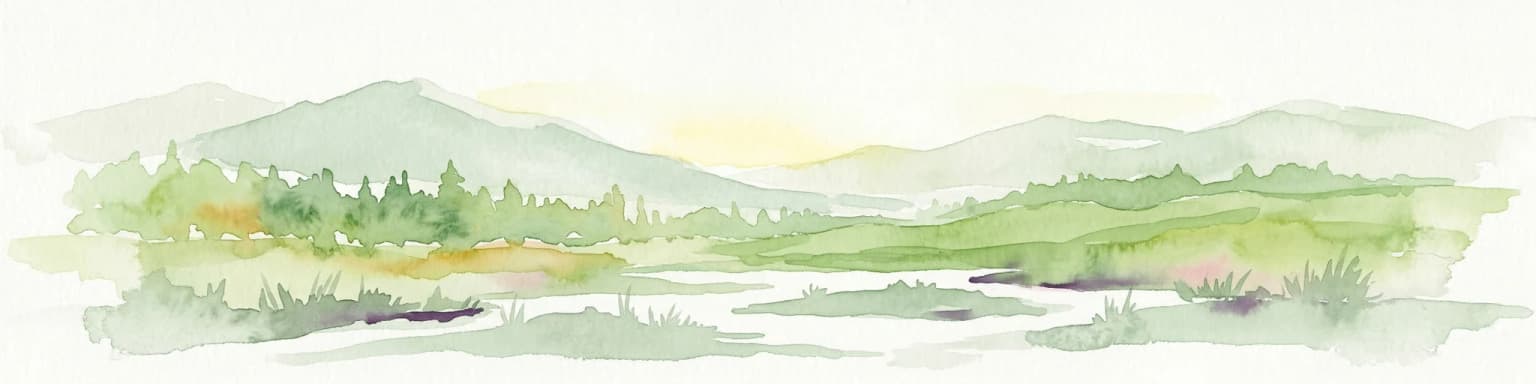
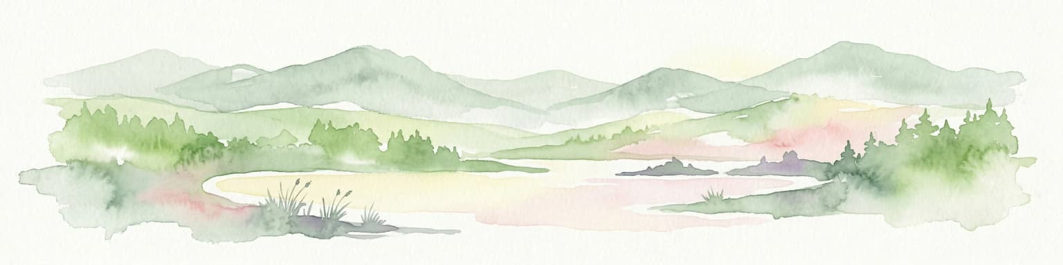
The landscape of Snæfellsjökull National Park is defined by the dramatic interplay between volcanic terrain and glacial processes. The Snæfellsjökull glacier volcano dominates the park's eastern portion, its ice cap sitting atop a volcanic peak that rises 1,446 meters above sea level. Below the glacier, lava fields stretch across the peninsula, their dark volcanic surfaces contrast sharply with the white ice and green vegetation. The terrain includes rugged lava formations, glacial moraines, and outwash plains where glacial rivers have deposited sediment. The coastline features sea cliffs, rock stacks, and black sand beaches where volcanic material mixes with marine sediments. Inland areas contain heather-covered moorlands and moss-draped lava fields that create a textured, almost surreal landscape.

Snæfellsjökull National Park ecosystems, habitats, and plant life

The natural environment of Snæfellsjökull National Park reflects the harsh yet resilient ecology of Iceland's western coast. Vegetation across the park consists primarily of heathland communities, with crowberry, blueberry, and various mosses and lichens dominating the ground cover. The lava fields support specialized plant communities adapted to volcanic substrates, with moss covering creating soft, green carpets across older flows. The park's coastal areas provide important habitat for seabirds, including fulmars, puffins, and various gull species that nest in the sea cliffs. The maritime climate brings frequent fog and mist, creating conditions that support lush moss growth and give the landscape a moody, atmospheric quality.

Snæfellsjökull National Park wildlife and species highlights

Birdlife in Snæfellsjökull National Park centers on the coastal cliffs and maritime environment. Seabird colonies nest in the sea cliffs during summer months, with species including fulmars, kittiwakes, and occasional puffins appearing along the rocky shores. The surrounding waters support marine mammals, and the park's coastal areas may be used by seals. The heathland and moorland areas support fewer specialized bird species compared to Iceland's more fertile regions, but common species such as Meadow Pipits and Ravens are present throughout the park.

Snæfellsjökull National Park conservation status and protection priorities

Snæfellsjökull National Park plays an important role in protecting Iceland's volcanic and glacial heritage. The park safeguards the Snæfellsjökull volcanic system and its associated ecosystems, representing one of the few areas in Iceland where glacier and volcano exist in such close proximity. The protection extends to the coastal environments and bird nesting sites along the peninsula's western shores. Management focuses on balancing access for visitors with protection of the sensitive volcanic and coastal ecosystems.

Snæfellsjökull National Park cultural meaning and human context

Snæfellsjökull holds significant cultural importance in Icelandic literature and imagination. The mountain gained international fame as the setting for Jules Verne's novel "Journey to the Center of the Earth," which described the fictional expedition that entered the Earth through caves at the mountain's base. This literary connection has made Snæfellsjökull one of Iceland's most recognized mountains internationally. The Snæfellsnes peninsula has also been important in Icelandic cultural history, with fishing communities along the coast contributing to the region's traditional maritime culture.

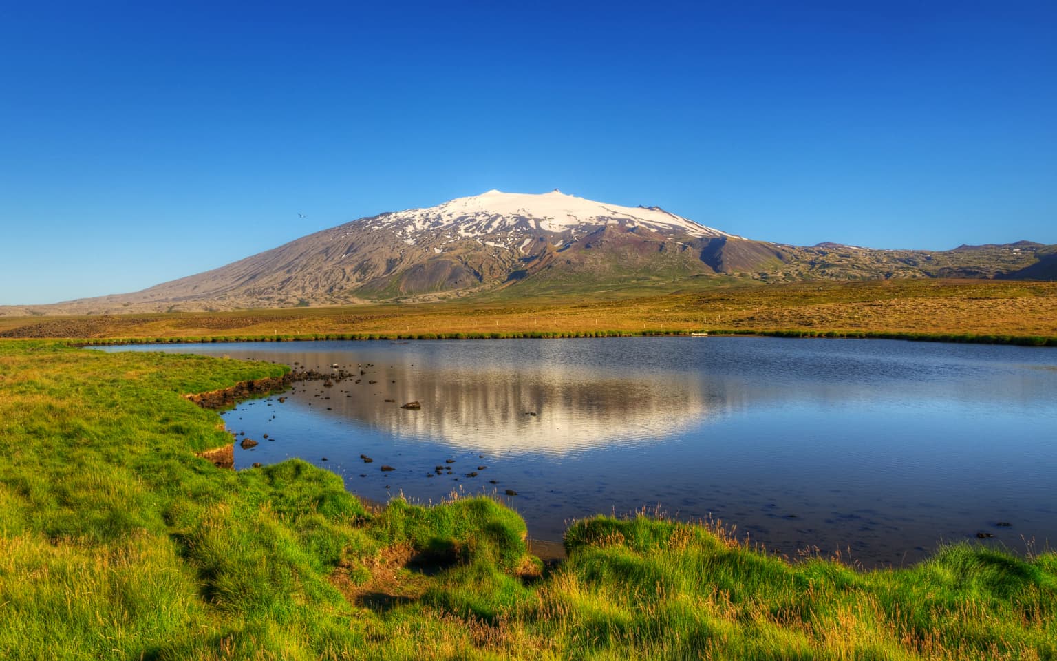
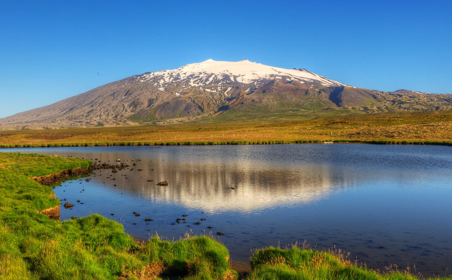
Top sights and standout views in Snæfellsjökull National Park

The defining highlight of Snæfellsjökull National Park is the view of the glacier-capped volcano rising dramatically from the peninsula, visible from many points along the coast. The contrast between the ice, dark lava fields, and often moody skies creates a landscape of exceptional visual drama. The park offers opportunities to explore volcanic caves, walk across ancient lava fields, and experience the maritime environment where the Atlantic meets Iceland's volcanic terrain.

Best time to visit Snæfellsjökull National Park

Snæfellsjökull National Park can be visited throughout the year, with each season offering different conditions. Summer months bring longer daylight hours and greener vegetation, making the landscape more vibrant. Winter transforms the area with snow covering the lower slopes and ice forming on the glacier, creating a stark, dramatic atmosphere. The shoulder seasons of spring and autumn offer fewer visitors and distinct lighting conditions. Weather on the peninsula is highly variable and influenced by the Atlantic, with fog and rain common even during summer.

Park location guide

Geography guide, regional context, and park location map for Snæfellsjökull National Park

Snæfellsjökull National Park park geography, regions, and map view in Iceland
Understand where Snæfellsjökull National Park sits in Iceland through a broader geographic reading of the surrounding landscape, nearby location context, and its mapped position within the national park landscape.

How Snæfellsjökull National Park fits into Iceland

Iceland is a Nordic island nation located between Europe and North America on the Mid-Atlantic Ridge. With a population of approximately 394,000 and an area of 103,125 km², it is one of the world's most sparsely populated countries. The country features dramatic volcanic terrain, extensive glaciers, geysers, and geothermal activity, all while maintaining a temperate climate warmed by the Gulf Stream.

Wider geography shaping Snæfellsjökull National Park in Iceland

Iceland is an island nation located in the North Atlantic Ocean between the Arctic Ocean and the Atlantic Ocean, situated on the Mid-Atlantic Ridge between Europe and North America. The interior consists of volcanic plateaus with sand and lava fields, while mountains and glaciers dominate the terrain. Numerous glacial rivers flow from the highlands through lowlands to the sea. The country sits at a latitude just south of the Arctic Circle.

Map view of Snæfellsjökull National Park

Use this park location map to pinpoint Snæfellsjökull National Park in Iceland, understand its exact geographic position, and read its mapped placement within the surrounding landscape more clearly.

Pigeon | © OpenStreetMap contributors

Location context for Snæfellsjökull National Park

Western Iceland
Park atlas

Browse surrounding Icelandic protected areas to trace regional geology and diverse conservation landscapes, comparing volcanic terrain with coastal features.

Discover Other National Parks Near Snæfellsjökull National Park and Its Volcanic Peninsula
Explore additional national parks and protected areas geographically connected to Snæfellsjökull National Park, tracing Iceland's distinct volcanic landscapes and coastal conservation zones. Compare the unique geological features, glacial formations, and maritime environments across these regional parks to understand their broader protected-area context and diverse terrain.
Watercolor painting depicting a landscape with cliffs, a body of water, and distant hills under a light sky
National parkSouthern Region

Þingvellir National Park: Witness Tectonic Plates and Ancient Icelandic Governance

Explore the rift valley and historic parliament site in Iceland's Southern Region.

Þingvellir National Park offers a singular opportunity for geographic discovery, situated in Iceland's Southern Region. This protected national park is globally recognized for its visible expression of the Mid-Atlantic Ridge, where the North American and Eurasian tectonic plates actively diverge, creating a dramatic rift valley. Moreover, Þingvellir served as the site of the Althing, Iceland's ancient parliament, making it a crucial historical landmark. Explore this landscape to understand both powerful geological processes and the foundations of Icelandic democratic history through its mapped terrain.

Area
92.7 km²
Established
1930
IUCN
II
Relief
Lowland
National park

Vatnajökull National Park: Iceland's Expansive Protected Glacier and Volcanic Terrain

Mapped boundaries of a UNESCO World Heritage site dynamic with fire and ice.

Vatnajökull National Park offers a profound exploration of one of Earth's most dynamic natural environments. This Icelandic national park protects the vast Vatnajökull ice cap, a landscape shaped by active volcanoes and powerful glacial forces, creating a region of extraordinary geographic diversity. Discover the mapped terrain, from subglacial mountain ranges to dramatic caldera systems, and understand the unique protected area context of this significant European natural heritage.

Area
14,967 km²
Established
2008
Relief
Mountain
Climate
Subpolar
National park

Skaftafell National Park: Iceland's Accessible Protected Landscape with Glacial Terrain and Basalt Columns

Discover glacial landscapes and volcanic geology.

Skaftafell National Park is a vital protected area in Southeast Iceland, offering a unique atlas-level view of dramatic glacial landscapes. Located at the base of Vatnajökull, Europe's largest glacier, the park features accessible hiking trails that traverse outwash plains, birch woodlands, and glacial tongues like Skaftafellsjökull. Explore the iconic Svartifoss waterfall, framed by striking basalt columns, and understand the park's dynamic terrain shaped by volcanic activity and glacial processes, providing rich geographic context for protected landscape discovery.

Established
1967
Scope
Terrestrial
National park

Jökulsárgljúfur National Park: Explore Iceland's Volcanic Canyon and Glacial River Protected Landscape

Mapped geography and terrain of a key northern Iceland protected area.

Jökulsárgljúfur National Park, located in northern Iceland, is celebrated for its striking volcanic canyon landscape carved by the powerful Jökulsá á Fjöllum glacial river. This protected area showcases a terrain shaped by ancient glacial outburst floods and volcanic forces, featuring notable geological formations like the Hljóðaklettar echo rocks and iron-colored hills. Understanding Jökulsárgljúfur National Park provides crucial insight into the unique regional geography and the atlas-driven exploration of Iceland's preserved natural heritage.

Relief
Mountain
Access
Remote access
Scope
Terrestrial
Water
Minor water
Watercolor illustration of green rolling hills and a body of water under a pale sky
National parkGreenland

Northeast Greenland National Park: Arctic Wilderness and Protected Landscape Atlas

Explore the world's largest national park and its mapped terrain.

Northeast Greenland National Park represents an extraordinary expanse of Arctic wilderness, renowned as the largest protected area globally. This national park protects a diverse landscape, from the interior Greenland Ice Sheet to dramatic glacial fjords and ice-free polar desert regions. Discover its extensive mapped boundaries and its significance as a sanctuary for vital Arctic megafauna, offering a profound case study in large-scale protected landscape geography.

Area
972,000 km²
Established
1974
IUCN
II
Relief
Mixed relief
Watercolor painting depicting mountains, forested hills, and a river in a scenic landscape
National parkScotland

Cairngorms National Park: Explore Scotland's Largest Protected Mountain Landscape

Mapped boundaries and arctic-alpine geography.

As the United Kingdom's largest national park, Cairngorms National Park in Scotland presents a vast expanse of distinctive arctic-alpine terrain and ancient Caledonian forests. This protected landscape offers a unique opportunity to explore mapped geographic features, from its extensive mountain plateaus to its vital river systems. Discover the contours and context of this significant natural area within the broader atlas of Scotland's protected lands.

Area
4,528 km²
Established
2003
IUCN
V
Visitors
1.9M annual
National parkCounty Donegal

Glenveagh National Park: A Protected Landscape in the Heart of County Donegal

Mapped geography and natural terrain for Ireland's national park.

Delve into the geographic specifics of Glenveagh National Park, a protected area situated in County Donegal. This section provides detailed information on its mapped boundaries and regional landscape context. Understand how this national park fits within the natural geography of Ulster, offering a structured atlas view for detailed exploration of its unique terrain and protected status.

Area
169.58 km²
Established
1986
IUCN
II
Relief
Mixed relief
Watercolor illustration showing mountains, green forests, a loch, and a river in a landscape
National parkScotland

Loch Lomond and The Trossachs National Park: Scotland's National Park Atlas and Protected Landscape

Mapping Scotland's Highland Boundary Fault and diverse natural terrain.

As Scotland's first national park, Loch Lomond and The Trossachs National Park offers a prime example of a protected landscape shaped by significant geological features. This atlas entry highlights its strategic location along the Highland Boundary Fault, which delineates distinct highland and lowland terrains. Users can explore the park's extensive network of lochs, including Loch Lomond, its mountainous Munros, and its native woodland ecosystems, providing a rich geographic context for discovery.

Area
1,865 km²
Established
2002
IUCN
V
Visitors
2.9M annual

Common questions about visiting, size, designation, and location context for Snæfellsjökull National Park

Snæfellsjökull National Park FAQs for park facts, access, geography, and protected area context
Find quick answers about Snæfellsjökull National Park, including protected-area facts, park geography, trail and visitor context, and how the park fits into its surrounding country and regional landscape.
MoriAtlas Explorer

Continue Your Protected Areas Search Across the Global Atlas

Deepen your exploration by continuing the structured search for national parks and protected areas worldwide. Utilize the comprehensive filtering capabilities to compare different conservation landscapes and refine your understanding of global park geography. Discover more about the distribution and characteristics of protected natural areas.

Global natural geography