Mori Atlas logo
National parkSkaftafell National Park

Discover unique glacial terrain, volcanic geology, and iconic basalt column waterfalls.

Skaftafell National Park: Iceland's Protected Landscape at the Foot of Vatnajökull Glacier

Skaftafell National Park represents a critical protected landscape in Southeast Iceland, situated at the dramatic boundary of glacial ice and lowland terrain. As a significant section within the larger Vatnajökull National Park, Skaftafell offers unparalleled atlas-level discovery of glacial landscapes, including visible outlet glaciers, vast outwash plains, and volcanic geological formations like the famous basalt columns of Svartifoss waterfall. Explore the mapped geography and diverse terrain that define this accessible yet wild protected area, showcasing the dynamic interplay of ice, water, and volcanic forces.

glacial landscapeswaterfallsbasalt columnsIcelandVatnajökullhiking trails

Skaftafell National Park

National park

Park overview

Structured park overview, official facts, and landscape profile for Skaftafell National Park

Skaftafell National Park park facts, protected area profile, and essential visitor context
Review the core facts for Skaftafell National Park, including designation, size, terrain, visitor scale, habitats, and operating context in one park-focused overview.

About Skaftafell National Park

Skaftafell National Park occupies a significant position in Iceland's protected area network, representing a unique transition zone where the immense Vatnajökull glacier meets habitable lowland. The park's landscape was shaped during the last glacial period, with glacial movements carving the terrain and leaving behind the characteristic features visible today. The area has a long history of human presence, with farmlands established in the fertile outwash plains over centuries. The park was formally established in 1967 to protect this distinctive landscape and was expanded several times before becoming part of Vatnajökull National Park in 2019. The protected area showcases Iceland's geological diversity, from volcanic basalt formations to glacial moraines and outwash plains. The landscape continues to evolve as glacial processes shape the terrain, making it a dynamic environment of ongoing geological interest.

Quick facts and research context for Skaftafell National Park

Skaftafell is situated in southeastern Iceland along the southern edge of the Vatnajökull ice cap, approximately 180 kilometers east of Reykjavik. Originally established as a national park in 1967, it was integrated into Vatnajökull National Park in 2019. The park features a remarkable transition from glacial outwash plains to mountain slopes, with birch woodlands and wetlands in the valley areas. Its most recognizable feature is Svartifoss waterfall, known for the hexagonal basalt columns that frame its drop. The park provides accessible hiking trails through diverse terrain and serves as a primary gateway for visitors exploring Iceland's highland and glacial landscapes.

Park context

Deeper park guide and search-rich context for Skaftafell National Park

Skaftafell National Park history, landscape, wildlife, and travel context
Explore Skaftafell National Park through its history, landscape character, ecosystems, wildlife, conservation priorities, cultural context, and seasonal travel timing in a structured park guide built for atlas discovery and search intent.

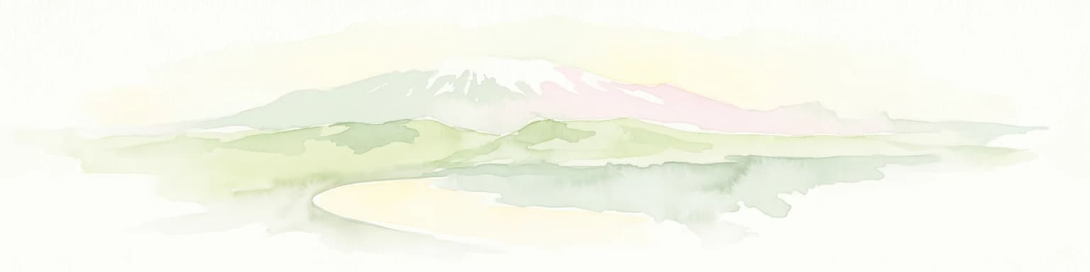
Why Skaftafell National Park stands out

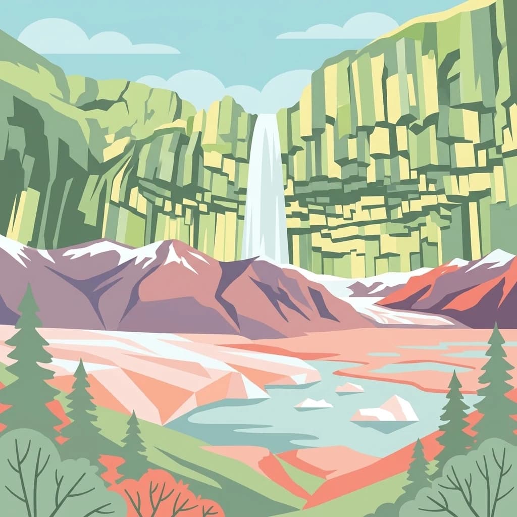
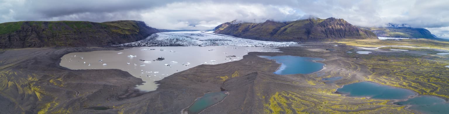
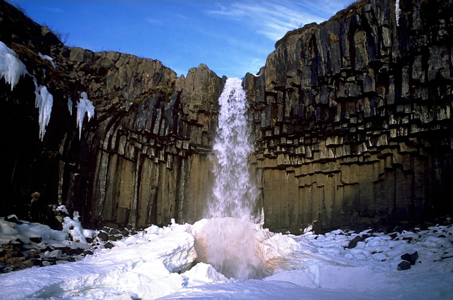
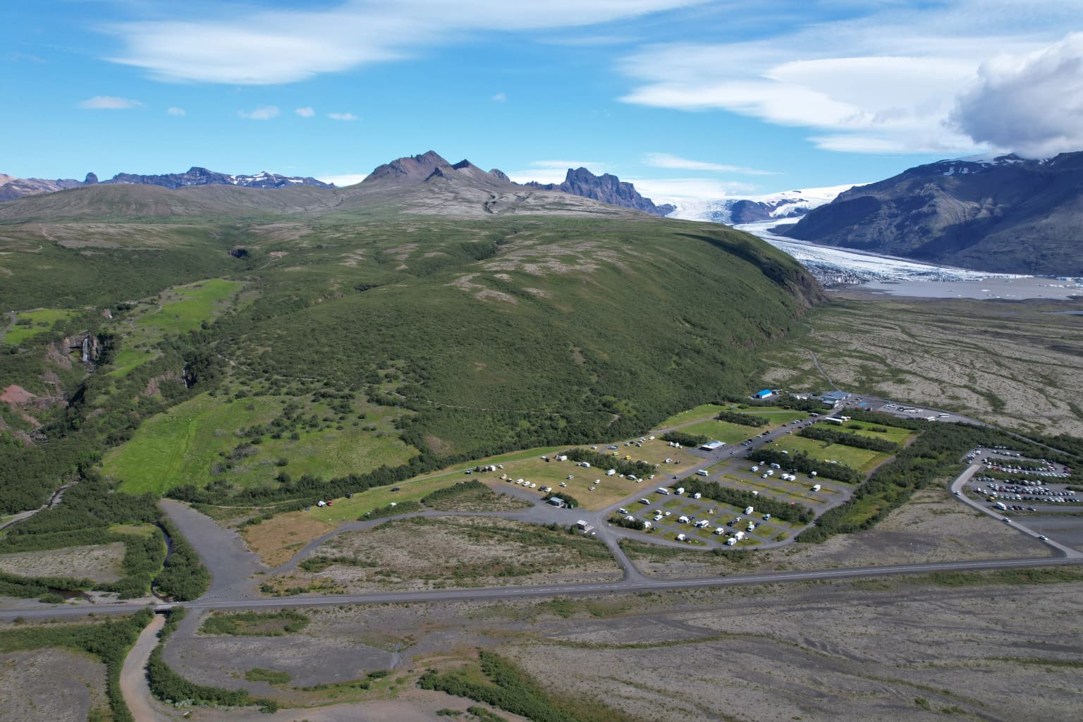
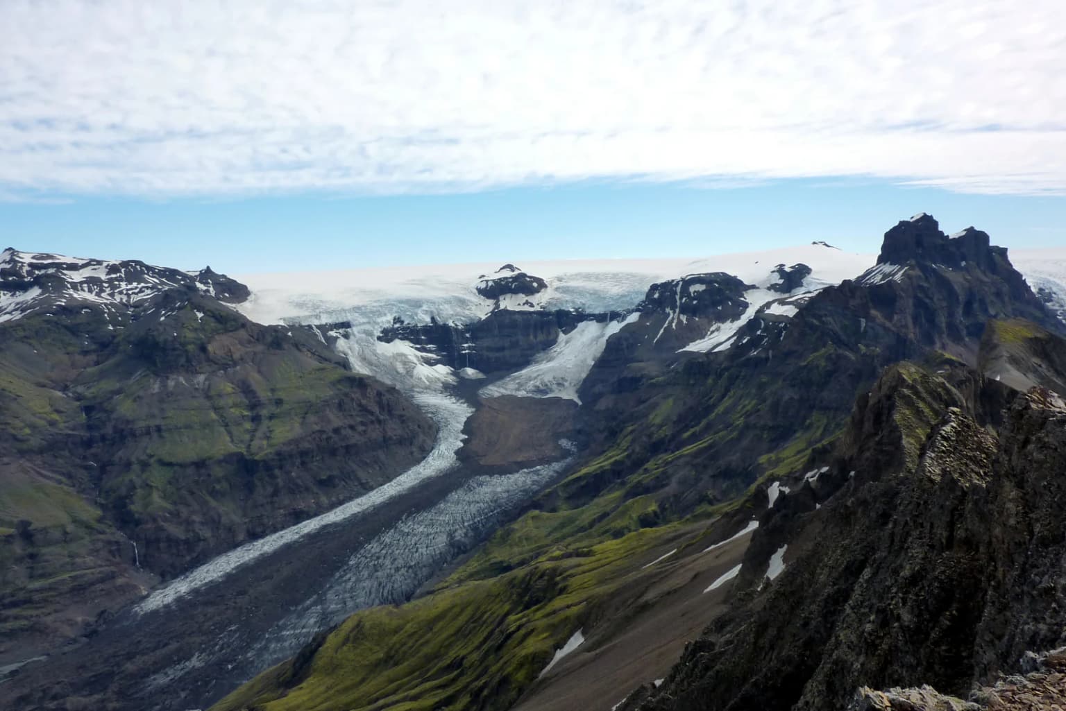
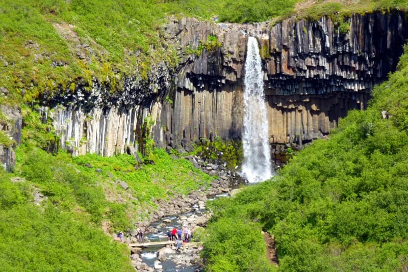
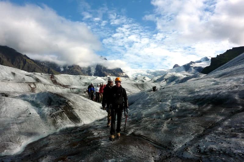
Skaftafell is best known for its accessibility to dramatic glacial landscapes and the iconic Svartifoss waterfall, which drops through a natural amphitheater of dark basalt columns. The park provides front-row views of Skaftafellsjökull, an outlet glacier from Vatnajökull, and offers hiking trails that traverse terrain shaped by glacial advance and retreat. The contrast between the black sand outwash plains, green birch woodlands, and white glacial ice creates a visually striking landscape that defines the park's character. Visitors can explore glacier moraines, glacial rivers, and volcanic terrain while enjoying some of Iceland's most accessible wilderness.

Skaftafell National Park history and protected-area timeline

Skaftafell was established as Iceland's second national park in 1967, following Þingvellir National Park. The park was created to protect the distinctive landscape where glacial and volcanic processes intersected with human settlement. Over subsequent decades, the park boundaries were expanded several times to incorporate additional glacial and mountain terrain. In 2019, Skaftafell was integrated into Vatnajökull National Park, which had been established in 2008 and now covers approximately 14 percent of Iceland's land area. This consolidation reflected a broader approach to glacier and highland protection in Iceland, recognizing the ecological connections between Skaftafell's landscapes and the larger Vatnajökull ice cap system.

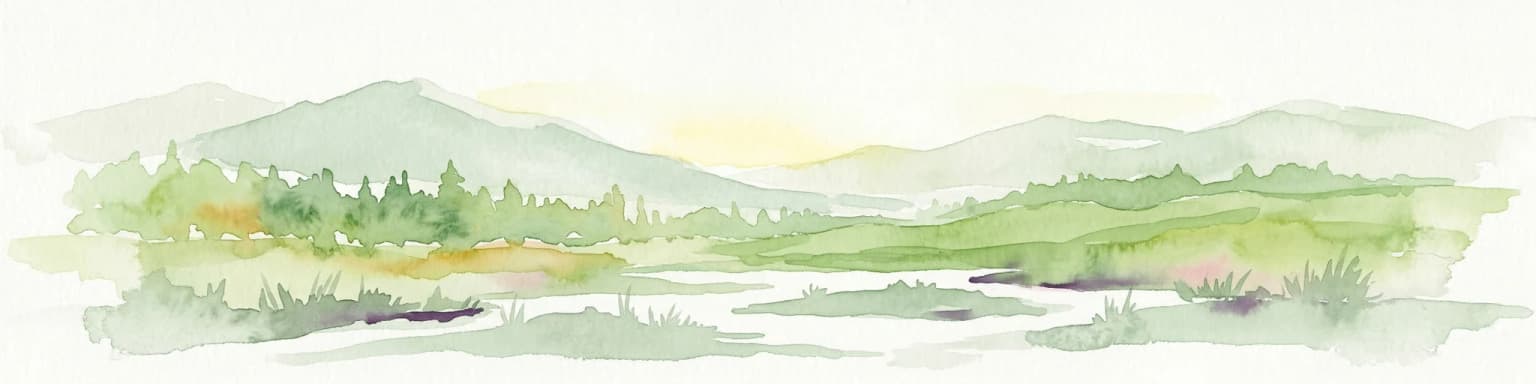
Skaftafell National Park landscape and geographic character

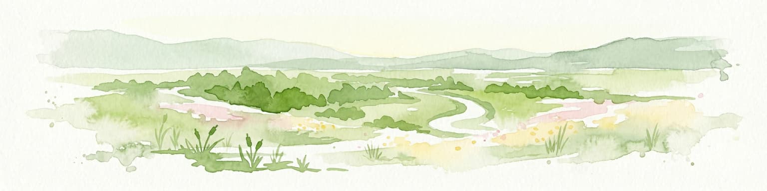
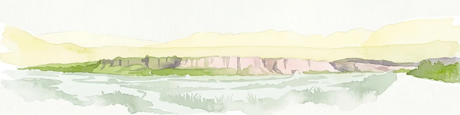
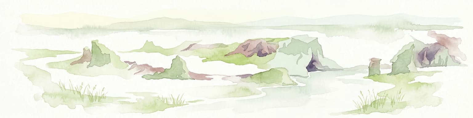
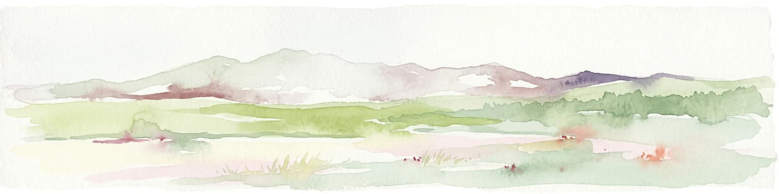
The landscape of Skaftafell is defined by its position at the boundary between glacial and lowland environments. The terrain includes outwash plains formed by glacial rivers carrying sediment from the Vatnajökull ice cap, creating the black sand beaches characteristic of Iceland's south coast. Mountain ridges and hills rise from these plains, their slopes covered in birch woodland and vegetation that has colonized the terrain since the last glacial retreat. Glacial tongues, particularly Skaftafellsjökull, descend from the main ice cap into the park, leaving behind moraines and outwash features. The most distinctive geological feature is the hexagonal basalt column formations found throughout the area, most dramatically displayed at Svartifoss waterfall where the dark columns create a natural amphitheater around the falling water. The landscape exhibits classic glacial succession patterns, with pioneer species colonizing recently deglaciated terrain while older areas support more developed plant communities.

Skaftafell National Park ecosystems, habitats, and plant life

Skaftafell's nature reflects the transition between Iceland's volcanic highlands and its coastal lowlands. The park encompasses several distinct habitat types, including birch woodland in the valley areas, wetlands and marshes along glacial rivers, and alpine terrain on the higher slopes. The birch woodlands represent some of the most extensive continuous birch forest remaining in Iceland, providing important habitat for bird species and contributing to soil stabilization in the landscape. The outwash plains and river systems support wetland bird communities, while the glacial environment itself supports specialized organisms adapted to extreme conditions. The interplay between volcanic geology, glacial processes, and biological succession creates a dynamic ecological landscape where different successional stages coexist within the protected area.

Skaftafell National Park wildlife and species highlights

The wildlife in Skaftafell reflects Iceland's subarctic environment and the park's varied habitats. Birdlife is particularly notable in the wetland and birch woodland areas, with species including ptarmigan, which is Iceland's only resident bird species, and various migratory waterfowl that use the area during breeding and migration seasons. The glacial rivers support fish populations, and the surrounding terrain provides habitat for arctic fox, though sightings are uncommon. The birch woodlands support small songbird populations and provide important breeding habitat. The park's position along potential bird migration routes adds to its ornithological interest, though the specific species present reflect the subarctic rather than Arctic character of the location.

Skaftafell National Park conservation status and protection priorities

Skaftafell represents important conservation value within Iceland's protected area system, preserving a transition zone between highland glacial environments and lowland ecosystems. The park protects representative examples of Iceland's glacial landscape diversity, including the basalt column formations, glacial moraines, and outwash systems that illustrate the geological processes shaping the island. The birch woodlands are significant both ecologically and historically, representing some of Iceland's last remaining native woodland cover. Integration into Vatnajökull National Park in 2019 strengthened conservation coordination across the broader glacial landscape, recognizing the ecological connections between the Skaftafell area and the larger Vatnajökull ice cap system. The protected status ensures ongoing preservation of this landscape while providing controlled access for public enjoyment and scientific study.

Skaftafell National Park cultural meaning and human context

The Skaftafell area has a history of human settlement extending back to the settlement period of Iceland in the ninth and tenth centuries. The fertile outwash plains and access to water and grazing land made the area suitable for farming, and several historical farms have operated in the region for centuries. The name Skaftafell derives from the Icelandic landscape, referring to the distinctive mountain and waterfall features that define the area. Traditional land use practices shaped the cultural landscape, though the modern protected area emphasizes wilderness preservation. The park maintains connections to Icelandic cultural heritage through place names and historical references embedded in the landscape.

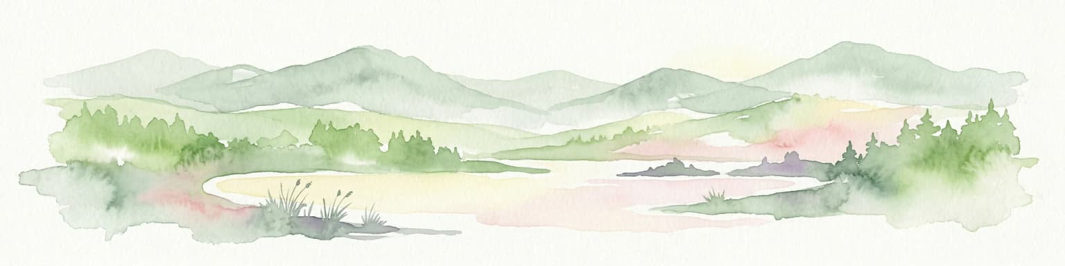
Top sights and standout views in Skaftafell National Park

Skaftafell offers visitors some of Iceland's most accessible and visually dramatic wilderness. Svartifoss waterfall, with its surrounding basalt columns, stands as the park's signature feature and illustrates the volcanic geological processes that shaped the landscape. The hiking trail network provides access to glacial viewpoints, mountain passes, and the glacier foreland, allowing visitors to experience the transition from lowland to highland environments within a single park. The contrast between black sand plains, green vegetation, and white glacial ice creates a distinctive visual experience. The park serves as a popular base for exploring the broader Vatnajökull region, with opportunities for glacier hiking, photography, and wilderness exploration. The combination of accessible trails, dramatic scenery, and geological significance makes Skaftafell one of Iceland's most visited protected areas.

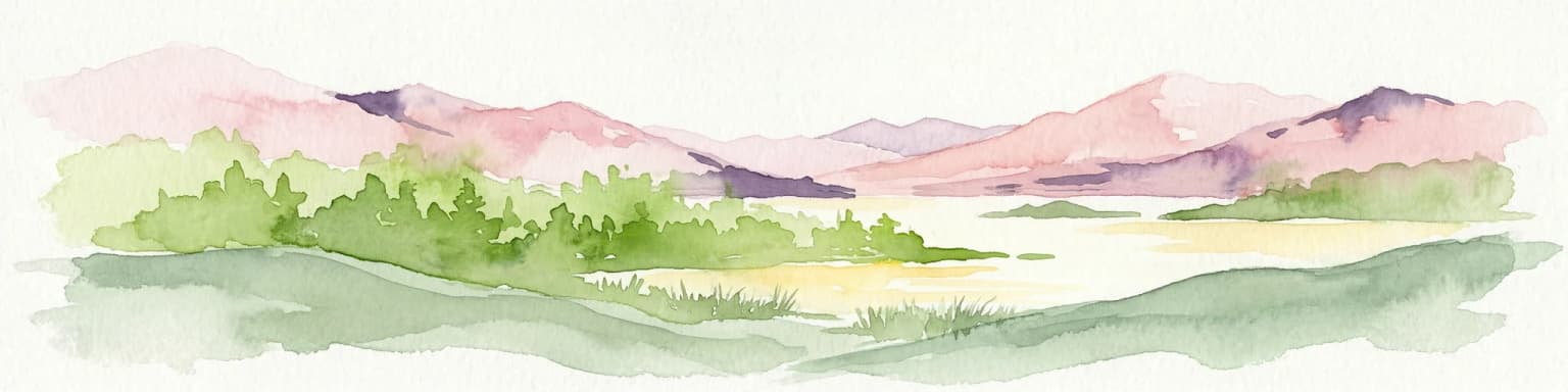
Best time to visit Skaftafell National Park

Skaftafell can be visited throughout the year, with each season offering a different experience. Summer months provide the most accessible trail network and extended daylight hours, allowing extended hikes and photography opportunities during the midnight sun period. Autumn brings changing vegetation colors and often clear atmospheric conditions, though weather can be variable. Winter transforms the landscape with snow cover, creating a different visual character but requiring appropriate preparation for winter conditions. The shoulder seasons of late spring and early autumn often offer a balance between accessibility and fewer visitors. Weather in the area can change rapidly regardless of season, and visitors should be prepared for variable conditions. The park's lower elevation relative to Iceland's interior means it is generally more accessible for visitors without specialized equipment for highland travel.

Park location guide

Geography guide, regional context, and park location map for Skaftafell National Park

Skaftafell National Park park geography, regions, and map view in Iceland
Understand where Skaftafell National Park sits in Iceland through a broader geographic reading of the surrounding landscape, nearby location context, and its mapped position within the national park landscape.

How Skaftafell National Park fits into Iceland

Iceland is a Nordic island nation located between Europe and North America on the Mid-Atlantic Ridge. With a population of approximately 394,000 and an area of 103,125 km², it is one of the world's most sparsely populated countries. The country features dramatic volcanic terrain, extensive glaciers, geysers, and geothermal activity, all while maintaining a temperate climate warmed by the Gulf Stream.

Wider geography shaping Skaftafell National Park in Iceland

Iceland is an island nation located in the North Atlantic Ocean between the Arctic Ocean and the Atlantic Ocean, situated on the Mid-Atlantic Ridge between Europe and North America. The interior consists of volcanic plateaus with sand and lava fields, while mountains and glaciers dominate the terrain. Numerous glacial rivers flow from the highlands through lowlands to the sea. The country sits at a latitude just south of the Arctic Circle.

Map view of Skaftafell National Park

Use this park location map to pinpoint Skaftafell National Park in Iceland, understand its exact geographic position, and read its mapped placement within the surrounding landscape more clearly.

Pigeon | © OpenStreetMap contributors
Park atlas

Trace surrounding protected landscapes and compare glacial features across Iceland's southeastern region.

Explore Nearby National Parks and Protected Areas Around Skaftafell, Iceland
Continue your exploration beyond Skaftafell National Park by browsing other national parks and protected areas located throughout Iceland's captivating southeastern region. Compare diverse glacial landscapes, trace the regional context of protected areas, and map how these conservation efforts shape Iceland's unique volcanic and ice-capped terrain.
National park

Vatnajökull National Park: Iceland's Expansive Protected Glacier and Volcanic Terrain

Mapped boundaries of a UNESCO World Heritage site dynamic with fire and ice.

Vatnajökull National Park offers a profound exploration of one of Earth's most dynamic natural environments. This Icelandic national park protects the vast Vatnajökull ice cap, a landscape shaped by active volcanoes and powerful glacial forces, creating a region of extraordinary geographic diversity. Discover the mapped terrain, from subglacial mountain ranges to dramatic caldera systems, and understand the unique protected area context of this significant European natural heritage.

Area
14,967 km²
Established
2008
Relief
Mountain
Climate
Subpolar
Watercolor painting depicting a landscape with cliffs, a body of water, and distant hills under a light sky
National parkSouthern Region

Þingvellir National Park: Witness Tectonic Plates and Ancient Icelandic Governance

Explore the rift valley and historic parliament site in Iceland's Southern Region.

Þingvellir National Park offers a singular opportunity for geographic discovery, situated in Iceland's Southern Region. This protected national park is globally recognized for its visible expression of the Mid-Atlantic Ridge, where the North American and Eurasian tectonic plates actively diverge, creating a dramatic rift valley. Moreover, Þingvellir served as the site of the Althing, Iceland's ancient parliament, making it a crucial historical landmark. Explore this landscape to understand both powerful geological processes and the foundations of Icelandic democratic history through its mapped terrain.

Area
92.7 km²
Established
1930
IUCN
II
Relief
Lowland
National park

Jökulsárgljúfur National Park: Explore Iceland's Volcanic Canyon and Glacial River Protected Landscape

Mapped geography and terrain of a key northern Iceland protected area.

Jökulsárgljúfur National Park, located in northern Iceland, is celebrated for its striking volcanic canyon landscape carved by the powerful Jökulsá á Fjöllum glacial river. This protected area showcases a terrain shaped by ancient glacial outburst floods and volcanic forces, featuring notable geological formations like the Hljóðaklettar echo rocks and iron-colored hills. Understanding Jökulsárgljúfur National Park provides crucial insight into the unique regional geography and the atlas-driven exploration of Iceland's preserved natural heritage.

Relief
Mountain
Access
Remote access
Scope
Terrestrial
Water
Minor water
National park

Snæfellsjökull National Park: Mapped Volcanic Terrain and Protected Landscape Identity

Discover the geographic context of Iceland's glacier volcano.

Snæfellsjökull National Park on the Snæfellsnes Peninsula is a prime example of Iceland's protected lands, defined by the iconic Snæfellsjökull glacier volcano. This page details the park's volcanic terrain, from expansive lava fields to dramatic sea cliffs, offering an atlas-driven exploration of its unique geographic features. Understand its significance as a protected area and its place within the broader landscape of western Iceland through detailed mapping and geographic data.

Established
2001
Watercolor painting depicting mountains, forested hills, and a river in a scenic landscape
National parkScotland

Cairngorms National Park: Explore Scotland's Largest Protected Mountain Landscape

Mapped boundaries and arctic-alpine geography.

As the United Kingdom's largest national park, Cairngorms National Park in Scotland presents a vast expanse of distinctive arctic-alpine terrain and ancient Caledonian forests. This protected landscape offers a unique opportunity to explore mapped geographic features, from its extensive mountain plateaus to its vital river systems. Discover the contours and context of this significant natural area within the broader atlas of Scotland's protected lands.

Area
4,528 km²
Established
2003
IUCN
V
Visitors
1.9M annual
Watercolor illustration showing mountains, green forests, a loch, and a river in a landscape
National parkScotland

Loch Lomond and The Trossachs National Park: Scotland's National Park Atlas and Protected Landscape

Mapping Scotland's Highland Boundary Fault and diverse natural terrain.

As Scotland's first national park, Loch Lomond and The Trossachs National Park offers a prime example of a protected landscape shaped by significant geological features. This atlas entry highlights its strategic location along the Highland Boundary Fault, which delineates distinct highland and lowland terrains. Users can explore the park's extensive network of lochs, including Loch Lomond, its mountainous Munros, and its native woodland ecosystems, providing a rich geographic context for discovery.

Area
1,865 km²
Established
2002
IUCN
V
Visitors
2.9M annual
National parkCounty Donegal

Glenveagh National Park: A Protected Landscape in the Heart of County Donegal

Mapped geography and natural terrain for Ireland's national park.

Delve into the geographic specifics of Glenveagh National Park, a protected area situated in County Donegal. This section provides detailed information on its mapped boundaries and regional landscape context. Understand how this national park fits within the natural geography of Ulster, offering a structured atlas view for detailed exploration of its unique terrain and protected status.

Area
169.58 km²
Established
1986
IUCN
II
Relief
Mixed relief
National parkCounty Mayo

Wild Nephin National Park: Ireland's Protected Landscape in County Mayo

National Park with regional geographic context.

Explore Wild Nephin National Park, a significant protected area situated in County Mayo, Ireland. This entry focuses on the park's mapped boundaries and its unique natural terrain, offering a clear geographic perspective. Understand how this national park contributes to the diverse landscapes of western Ireland and serves as a key point for atlas-based discovery of protected lands.

Area
150 km²
Established
1998
IUCN
II
Climate
Temperate

Common questions about visiting, size, designation, and location context for Skaftafell National Park

Skaftafell National Park FAQs for park facts, access, geography, and protected area context
Find quick answers about Skaftafell National Park, including protected-area facts, park geography, trail and visitor context, and how the park fits into its surrounding country and regional landscape.
MoriAtlas Explorer

Continue Your Protected Areas Search Across the Global Atlas

Deepen your exploration by continuing the structured search for national parks and protected areas worldwide. Utilize the comprehensive filtering capabilities to compare different conservation landscapes and refine your understanding of global park geography. Discover more about the distribution and characteristics of protected natural areas.

Global natural geography