Mori Atlas logo
Countries

Browse and navigate Finland's diverse protected landscapes and mapped natural terrain.

Finland National Parks and Protected Areas: A Geographic Atlas Overview

MoriAtlas provides a comprehensive geographic entry point for exploring Finland's network of national parks and protected areas. Understand the regional distribution of these valuable natural landscapes, from boreal forests to lake districts, through structured map-based data. This atlas-style resource allows for focused discovery of Finland's conservation lands and their geographic context.

Finland National Parks and Protected Areas: A Geographic Atlas Overview
About

Explore the Mapped Geography of Finland's Conservation Landscapes and Regional Park Distribution

Discover Finland's National Parks and Protected Areas, Mapping Boreal Forests and Lakeland Geography
Browse Finland's national parks and protected areas, a comprehensive atlas of its vast boreal forests, intricate lakeland regions, and distinct glacial landforms. This country-level geographic view provides essential context for understanding the distribution of protected sites and navigating Finland's conservation landscapes.

Finland, officially the Republic of Finland, is a Nordic country in Northern Europe with a population of 5.6 million. It borders Sweden, Norway, and Russia, with the Gulf of Bothnia to the west and the Gulf of Finland to the south. The country gained independence from Russia in 1917 and is a unitary parliamentary republic. Its landscape is characterized by extensive boreal forests and over 180,000 lakes.

Largest city:Helsinki
Currency code:EUR
ISO code:FI
Parks count
42
Capital
Helsinki
Area
338,455 km²
Population
5,635,971 (2,024)

Coastal
Island
Mountainous
Landlocked
Park atlas42 parks

Discover Finland's Mapped Protected Landscapes and Boreal Forest Regions

National Parks and Protected Areas in Finland: An Atlas Exploration
Explore a curated atlas of Finland's national parks and protected areas, offering a structured view of its natural conservation landscapes. Navigate through the country's diverse terrain, from vast boreal forests to numerous lakes, gaining geographic context for each protected site. This view facilitates deeper discovery into Finland's protected natural heritage.
National parkLapland

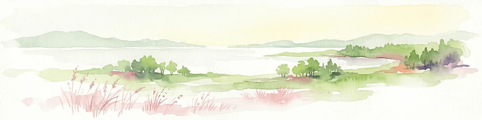
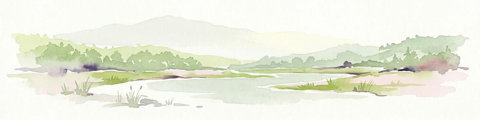
Oulanka National Park: Protected Landscape Atlas and Geographic Context in Lapland

Explore mapped boundaries and regional terrain.

Discover Oulanka National Park as a distinct protected landscape entity within the extensive northern region of Lapland, Finland. This page provides structured geographic information, focusing on the park's mapped area, its regional setting, and its identity as a national park. MoriAtlas facilitates an atlas-driven understanding of Oulanka National Park's place in Finland's protected lands and its inherent natural terrain.

Area
270 km²
Established
1956
IUCN
II
Visitors
187.4K annual
National parkLapland

Urho Kekkonen National Park: Detailed Map and Protected Landscape Exploration in Lapland

Discover Finland's expansive Arctic wilderness and fell terrain.

Urho Kekkonen National Park represents a significant portion of Finland's protected Arctic landscape, offering a rich opportunity for geographic and atlas-based discovery. This national park in Lapland showcases dramatic fell formations, boreal forests, and extensive wetlands, with mapped boundaries that define its wild eastern reaches and more accessible western trails. Users can explore the unique terrain and understand its place within the broader regional geography, appreciating the vastness of this protected natural area.

Area
2,550 km²
Established
1983
IUCN
II
Visitors
435.9K annual
Watercolor painting showing rolling hills, forests, and distant mountains under a soft sky
National parkLapland

Pallas-Yllästunturi National Park: Lapland's Premier Protected Fell Landscape for Atlas Exploration

Explore its ancient mountain geography and mapped protected area.

Pallas-Yllästunturi National Park presents a unique atlas of Lapland's ancient geography, characterized by a vast chain of rounded fells that are the remnants of three-billion-year-old mountains. As Finland's most popular national park, it offers a deep dive into protected landscape discovery, showcasing diverse boreal forests, mires, and exceptional fell terrain. Understand its geographic scope and protected boundaries for comprehensive map-based exploration.

Area
1,020 km²
Established
2005
IUCN
II
Visitors
598.8K annual
National parkFinland

Lemmenjoki National Park: Finland's Protected Landscape Geography

Explore mapped park boundaries and regional natural context.

Lemmenjoki National Park is a vital protected area situated within Finland's vast northern geography. This page details its designation as a national park, offering a clear view of its mapped boundaries and landscape character. Users can explore the park's geographic context within Finland and understand its contribution to the region's network of conservation lands, facilitating structured atlas-style discovery.

Area
2,850 km²
Established
1956
IUCN
Ib
Visitors
21.1K annual
Watercolor illustration of a landscape featuring green vegetation, rolling hills, and a body of water under a pastel sky
National parkNorth Karelia

Koli National Park: Protected National Park in North Karelia, Finland

Explore mapped landscape and regional geography.

Koli National Park represents a significant protected area within the eastern Finnish region of North Karelia. This page offers detailed geographic context and insight into the park's mapped landscape, essential for understanding its place within the broader atlas of Finland's natural terrain. Discover the protected boundaries and regional setting of this key national park.

Area
30 km²
Established
1991
IUCN
II
Visitors
249.8K annual
National parkUusimaa

Nuuksio National Park: Uusimaa Region Protected Landscape Atlas Entry

Mapped boundaries and geographic context for a Finnish National Park.

Access detailed geographic information and mapped boundaries for Nuuksio National Park, a protected national park within the Uusimaa region. This MoriAtlas entry provides context for understanding its landscape within Finland, focusing on atlas-style exploration and the identification of protected natural areas.

Area
53 km²
Established
1994
IUCN
II
Visitors
312.6K annual
National parkFinland

Archipelago National Park: Mapped Protected Landscape and Geographic Context in Finland

Explore protected area boundaries and natural terrain.

Archipelago National Park represents a vital component of Finland's protected lands. This page serves as an atlas-focused entry point, detailing the park's specific geographic context, its mapped protected area boundaries, and the nature of its landscape. Understand how this national park contributes to the broader regional geography of Finland and the Nordic region, aiding structured discovery through maps and geographic data.

Area
500 km²
Established
1983
IUCN
II
Visitors
78.8K annual
Watercolor illustration showing a landscape with mountains, a winding river, and patches of green vegetation and trees
National parkFinland

Repovesi National Park: Finland's Boreal Wilderness and Protected Landscape

Explore mapped terrain and regional geography.

Repovesi National Park represents a significant protected natural area in southeastern Finland, showcasing a landscape characterized by dense boreal forests, rolling hills, and numerous lakes. As one of Finland's most visited national parks, it offers a compelling example of conserved wilderness and natural terrain. This page details the park's protected landscape identity, its geographic setting within Finland, and the atlas-driven insights available for exploring its mapped boundaries and natural features.

Area
15 km²
Established
2003
IUCN
II
Visitors
100.9K annual
Watercolor illustration showing a lake, rolling hills, and vegetation.
National parkLapland

Pyhä-Luosto National Park: Ancient Geological Heritage and Fell Landscape

Explore Lapland's southernmost large fell system and deep gorges.

Pyhä-Luosto National Park offers a unique window into Finland's deep geological past and its boreal ecosystems. As a protected area, it encompasses a prominent chain of twelve fells composed of two-billion-year-old quartzite, showcasing the southernmost large fell system in the country. The park's landscape is further defined by features like Isokuru, Finland's deepest gorge, and extensive old-growth forests, providing rich context for map-based discovery and regional geographic understanding within Lapland.

Area
142 km²
Established
2005
IUCN
II
Visitors
198.9K annual
National parkFinland

Hossa National Park: Detailed National Park and Protected Landscape Geography

Explore mapped boundaries and regional context within Finland.

Delve into the protected landscape of Hossa National Park, a designated national park in Finland. This page provides structured geographic information, focusing on its mapped boundaries and position within the country's natural terrain. Understand how Hossa National Park contributes to the atlas of protected areas in Northern Europe, offering insights into its specific landscape character and regional significance for geographic discovery.

Established
2017
Scope
Terrestrial
National parkLapland

Riisitunturi National Park: Explore Protected Landscape and Lapland Geography

Mapped boundaries of a national park in northern Finland.

Delve into the protected landscape of Riisitunturi National Park, a key national park situated in the expansive region of Lapland, Finland. This MoriAtlas entry provides detailed geographic context, focusing on the park's mapped boundaries and its role within the natural terrain of northern Finland. Understand its identity as a protected area and its significance within a broader atlas of natural landscapes.

Area
77 km²
Established
1982
IUCN
II
Visitors
58.8K annual
Watercolor illustration of green fields, trees, and distant hills
National park

Őrség National Park: A Protected Landscape Explored Through Geographic Atlas Context

Mapped terrain, peat bogs, and ancient forests in Hungary.

As Hungary's youngest national park, Őrség National Park offers a distinctive protected landscape defined by rolling hills, ancient woodlands, and rare peat bogs. This entry provides detailed geographic context, mapping its boundaries and showcasing its natural terrain. Discover the unique ecosystem, shaped by centuries of traditional land use and its subalpine climate, presented within MoriAtlas for structured exploration and regional geographic understanding.

Area
440 km²
Established
2002
IUCN
II
Relief
Highland
Landscape and environment

Understand how Finland is shaped by terrain, ecosystems, and seasonal conditions

Finland geography, nature, climate, and landscape context for park-focused travel research
Explore the physical geography, natural setting, and climate patterns of Finland through a location-first overview built for travel research, national park discovery, and broader regional context. This section helps explain how landscapes, habitats, and environmental conditions shape what people search for, where they travel, and how they experience protected areas in Finland.

Finland geography and landscape

Finland is located in Northern Europe, occupying a peninsula bordered by the Gulf of Bothnia to the west and the Gulf of Finland to the south. It shares land borders with Sweden to the northwest, Norway to the north, and Russia to the east. The terrain is predominantly flat with extensive forest coverage and numerous lakes.

Finland nature and environment

Finland's landscape is dominated by boreal forest, with over 180,000 recorded lakes. The country has a varied terrain that includes forests, lakes, marshes, and a coastal archipelago. The northern regions fall within the Arctic Circle, featuring subarctic conditions.

Finland climate and seasonal conditions

Finland's climate ranges from humid continental in the south to boreal (subarctic) in the north. The country experiences cold winters and relatively warm summers, with significant variation in daylight between seasons.

Explore this place

Related topics and popular queries

Ways to explore Finland
Useful phrases, related topics, and discovery prompts connected to Finland.
where is finland locatedwhat is finland known forfinland capital helsinkifinland population and areanordic country finlandfinland climate and naturefinland countryrepublic of finnlandhelsinki capitalnordic nationsboreal forests finlandeu northern europefinland lakesscandinavian countries
Park map

Visualize the geographic spread of Finland's national parks and protected areas, understanding their patterns across Nordic terrain and boreal landscapes.

Finland National Parks Map: Explore Protected Areas and Boreal Landscapes
Use this map preview to visually locate Finland's diverse national parks and key protected areas, understanding their placement within the country's extensive boreal forests and unique lakeland topography. The dedicated Finland park map provides a detailed atlas view, essential for exploring conservation landscapes, regional context, and the full geographic scope of protected sites across Northern Europe.

Understanding Finland's Diverse Park Geography, Boreal Forests, and Lake Region Protected Landscapes

Frequently Asked Questions About National Parks and Protected Areas in Finland
Explore common questions about Finland's national parks and protected landscapes, understanding their distribution across the country's vast boreal forests and extensive lakeland regions. Gain essential geographic context for the unique natural areas and conservation efforts that define Finland's commitment to preserving its pristine environments for future generations.
Other countries

Compare Finland's diverse protected landscapes with the national parks of neighboring Nordic and European countries on the MoriAtlas.

Explore National Parks and Protected Areas Beyond Finland, Discovering Nearby Countries
After exploring Finland's extensive boreal forests and lakeland protected areas, continue your geographic discovery by browsing national parks and diverse conservation landscapes across other countries. This country-level atlas view provides a structured, factual approach to compare distinct park geographies and expand your understanding of global protected-area networks.

Norway Protected Areas and National Parks Geographic Atlas Explorer

Discover the breadth of Norway's protected natural areas with MoriAtlas. This country-level atlas entry point allows you to explore the geographic distribution of national parks and conservation landscapes. Understand the spatial context of protected areas across Norway's diverse terrains, from the mainland Scandinavian Peninsula to its arctic territories, all within a structured, map-aware framework.

44 parks

Explore Sweden's National Parks and Protected Areas: A Geographic Atlas View

Navigate Sweden's rich collection of national parks and protected areas through MoriAtlas. This platform provides a structured overview of their geographic distribution, allowing for detailed map-based exploration of protected lands. Understand the landscape context and regional geography of Sweden's natural reserves, facilitating a comprehensive discovery of its conservation areas.

26 parks

Discover National Parks and Protected Areas Across Estonia | Geographic Atlas Overview

Navigate Estonia's protected natural areas, from national parks to conservation zones, with a geography-first approach. MoriAtlas presents a structured atlas view, highlighting the mapped boundaries and regional context of these important landscapes. This resource is ideal for understanding the geographic spread and ecological significance of protected lands within Estonia.

4 parks

Latvia's National Parks and Protected Areas: A Geographic Atlas Overview

Navigate the protected natural areas of Latvia through a comprehensive geographic lens. This atlas-focused resource details the mapped boundaries and distribution of national parks and protected lands, providing essential context for understanding the country's conservation efforts and natural terrain. Discover Latvia's diverse protected landscapes and explore their regional placement within Northern Europe.

3 parks

Explore National Parks and Protected Areas: Lithuania's Geographic Landscape Atlas

MoriAtlas offers a comprehensive view of Lithuania's protected natural areas, focusing on their geographic distribution and mapped boundaries. This resource serves as a crucial atlas entry point for understanding the country's protected landscapes, enabling users to navigate and discover the extent of national parks and reserves within their regional context.

3 parks

Kosovo National Parks and Protected Areas: Geographic Atlas and Landscape Context

Navigate the protected natural areas of Kosovo through an atlas lens. This entry provides a comprehensive geographic overview, highlighting the distribution of national parks and protected lands. Understand the unique landscape features and regional context of conservation efforts within Kosovo, ideal for structured map-based exploration.

2 parks

Belarus National Parks and Protected Landscapes: Geographic Atlas Overview

MoriAtlas offers a detailed atlas view of Belarus, focusing on its national parks and protected areas. Understand the geographic spread and mapped boundaries of conserved regions, providing essential context for exploring the nation's natural landscapes. This resource is designed for users seeking structured information on protected lands and their spatial relationships.

2 parks

Denmark National Parks and Protected Landscapes: A Geographic Atlas Overview

This atlas entry for Denmark allows for the exploration of its national parks and protected areas, focusing on their geographic distribution and mapped boundaries. Understand the context of these protected lands within the broader landscape of Denmark, facilitating structured discovery of natural terrain and conservation areas through an intuitive, map-aware interface.

2 parks
MoriAtlas Explorer

Continue Your Global Geographic Exploration with MoriAtlas Park Discovery

Dive deeper into the world's protected landscapes and national parks through MoriAtlas's structured atlas interface. Discover how continents and countries are organized, and how individual park geography fits into the broader map. Our platform is built for understanding the distribution and context of protected areas worldwide, facilitating your journey through global natural geography.

Global natural geography