Mori Atlas logo
Countries

Browse the mapped distribution of protected lands and natural landscapes across Kosovo.

Kosovo National Parks and Protected Areas: A Geographic Atlas for Exploration

Delve into the protected natural areas of Kosovo, a Balkan country featuring diverse mountain terrain and rolling hills. MoriAtlas provides a structured geographic overview, allowing you to explore the mapped boundaries of national parks and other protected lands. Understand the regional context and distribution of conservation areas, offering a unique atlas perspective for geographic discovery within Kosovo.

Kosovo National Parks and Protected Areas: A Geographic Atlas for Exploration
About

Navigate Kosovo's Protected Landscapes, an Atlas for Exploring its Mountainous Terrain and Park Distribution

Discover National Parks in Kosovo: Explore Protected Areas and Mapped Geography
Explore national parks and protected areas in Kosovo, a landlocked Balkan country with varied terrain. MoriAtlas offers a geographic entry point to understand the distribution of conservation landscapes and discover mapped natural sites across this region of Southeast Europe, providing foundational context for detailed park exploration.

Kosovo is a landlocked country in the Balkans region of Southeast Europe. It declared independence in 2008 and is recognized by approximately 110 UN member states, though Serbia continues to claim it as part of its territory. The country has a varied terrain with high plains, rolling hills, and mountains exceeding 2,500 metres in altitude. Its capital and largest city is Pristina.

Kosovo is a partially recognized sovereign state in Southeast Europe located in the Balkans. Historically part of the Ottoman Empire and later Yugoslavia, it became independent in 2008 following a 1999 NATO intervention and subsequent UN administration. The country operates as a unitary parliamentary republic with Albanian and Serbian as official languages. It covers 10,887 km² of predominantly mountainous terrain and maintains a population of nearly 1.6 million people.

Largest city:Pristina
Currency code:EUR
ISO code:XK
Parks count
2
Capital
Pristina
Area
10,887 km²
Population
1,585,566 (2,024)

Coastal
Island
Mountainous
Landlocked
Park atlas2 parks

Navigate the geographic distribution of Kosovo's protected areas and significant national parks, exploring mapped terrain and conservation landscapes.

Discover National Parks and Protected Areas in Kosovo's Diverse Balkan Geography
Explore the national parks and protected areas across Kosovo, an atlas providing comprehensive details for each significant conservation landscape. This country-specific view allows for structured geographic discovery of high plains, rolling hills, and mountain terrains within the Balkan region.
National parkKosovo

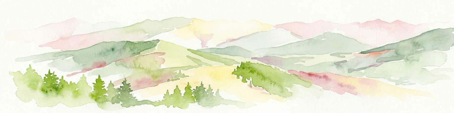
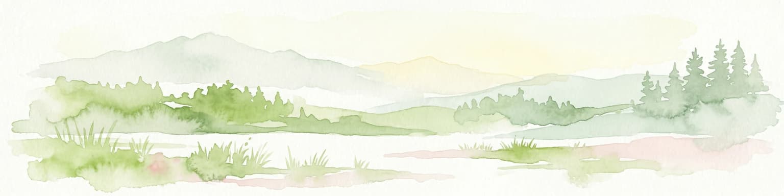
Bjeshkët e Nemuna National Park: Kosovo's Largest Alpine Protected Landscape

Explore dramatic mountains, glacial lakes, and diverse ecosystems.

Delve into the protected geography of Bjeshkët e Nemuna National Park, Kosovo's expansive national park located in the Accursed Mountains. This atlas entry details its significant alpine terrain, from dense forests to high-altitude meadows, and highlights the presence of glacial lakes like Liqenat. Understand its role as a vital conservation corridor and a key component of the Balkan's natural heritage.

Area
630.28 km²
Established
2012
IUCN
II
National parkKosovo

Sharr Mountains National Park: Kosovo's Alpine Protected Landscape and Geographic Atlas

Explore its dramatic peaks and glacial terrain.

Sharr Mountains National Park in Kosovo is a prime example of dramatic alpine topography, featuring jagged peaks, steep glacial valleys, and clear evidence of ancient glacial shaping. This protected area safeguards critical ecosystems, including extensive old-growth forests and diverse alpine meadows, supporting notable wildlife conservation efforts. Its scenic ridgelines, glacial lakes, and mountain streams define the park's natural landscape, offering rich context for atlas-based geographic discovery within the Balkans.

Relief
Mountain
Scope
Terrestrial
Landscape and environment

Understand how Kosovo is shaped by terrain, ecosystems, and seasonal conditions

Kosovo geography, nature, climate, and landscape context for park-focused travel research
Explore the physical geography, natural setting, and climate patterns of Kosovo through a location-first overview built for travel research, national park discovery, and broader regional context. This section helps explain how landscapes, habitats, and environmental conditions shape what people search for, where they travel, and how they experience protected areas in Kosovo.

Kosovo geography and landscape

Kosovo is landlocked in the central Balkans, bordered by Albania to the southwest, Montenegro to the west, Serbia to the north and east, and North Macedonia to the southeast. The terrain consists of high plains in the north and east, with rolling hills and mountain ranges in the western and southern regions. Several peaks exceed 2,500 metres in altitude.

Kosovo nature and environment

Kosovo features diverse terrain including mountainous areas in the west and south, high plains in the east, and river valleys. The landscape includes forested regions in mountain areas and open plains in lower elevations.

Kosovo climate and seasonal conditions

Kosovo has a mainly continental climate with some Mediterranean influences in lower elevations and Alpine influences in higher mountain areas. The country experiences four distinct seasons with cold winters and warm summers.

Explore this place

Related topics and popular queries

Ways to explore Kosovo
Useful phrases, related topics, and discovery prompts connected to Kosovo.
where is kosovo locatedwhat is kosovokosovo country factskosovo population and demographicskosovo geography and climatekosovo capital pristinakosovo countrykosovo republickosovo balkanskosovo southeast europelandlocked kosovokosovo pristinakosovo populationkosovo geography
Park map

Understand the mapped geography and distribution of national parks and protected areas throughout Kosovo.

Explore the National Parks Map of Kosovo: Discover Protected Areas Across the Balkan Terrain
Preview the comprehensive map of Kosovo to visualize the locations of its national parks and other protected areas, gaining insight into their geographic spread across the country's varied terrain. This atlas view provides essential geographic context for understanding conservation landscapes and planning further exploration of Southeast Europe's park entities.

Discover common questions regarding the geographic distribution and conservation context of Kosovo's natural landscapes.

Frequently Asked Questions About National Parks and Protected Areas in Kosovo
Delve into key insights regarding national parks and protected areas across Kosovo, exploring their locations, geographic significance, and primary features within the Balkan region. Understanding these common questions provides a comprehensive overview of Kosovo's conservation landscapes and helps trace the regional spread of its natural heritage.
Other countries

Compare the Protected Landscapes and National Park Geographies of Southeast Europe in our Atlas

Explore Other Countries with National Parks Near Kosovo and Across the Balkan Region
Beyond Kosovo, MoriAtlas provides extensive country-level indexes for national parks and other protected areas across Europe, offering detailed geographic context for further exploration. Users can navigate a comprehensive atlas of countries to compare diverse protected landscapes, understand regional conservation efforts, and plan deeper park discovery journeys.

Ukraine National Parks and Protected Areas: Browse Mapped Landscapes

MoriAtlas facilitates a detailed geographic exploration of Ukraine's national parks and protected areas. This destination provides a structured overview of the country's conservation landscapes, allowing users to visually grasp their distribution and regional context. Understand the breadth of Ukraine's natural heritage through an atlas lens, supporting discovery of its unique geography and protected territories.

49 parks

Finland National Parks and Protected Areas: Explore Geographic Distribution

Access a structured geographic atlas for Finland, detailing its national parks and protected areas. This resource facilitates exploration of the country's diverse natural landscapes, emphasizing mapped boundaries and regional context. Understand how protected lands are distributed across Finland, providing a clear overview for geographic discovery and atlas-based navigation of its natural terrain.

42 parks

Explore National Parks and Protected Areas Across Poland's Geography

Delve into the structured geography of Poland's protected natural areas. This atlas view highlights the distribution of national parks and other significant protected lands, offering insights into their regional context. Use this entry point to navigate and understand the geographic scope of conservation landscapes across Poland, from its diverse terrains to its mapped natural features.

25 parks

Discover National Parks and Protected Areas Across Estonia | Geographic Atlas Overview

Navigate Estonia's protected natural areas, from national parks to conservation zones, with a geography-first approach. MoriAtlas presents a structured atlas view, highlighting the mapped boundaries and regional context of these important landscapes. This resource is ideal for understanding the geographic spread and ecological significance of protected lands within Estonia.

4 parks

Latvia's National Parks and Protected Areas: A Geographic Atlas Overview

Navigate the protected natural areas of Latvia through a comprehensive geographic lens. This atlas-focused resource details the mapped boundaries and distribution of national parks and protected lands, providing essential context for understanding the country's conservation efforts and natural terrain. Discover Latvia's diverse protected landscapes and explore their regional placement within Northern Europe.

3 parks

Explore National Parks and Protected Areas: Lithuania's Geographic Landscape Atlas

MoriAtlas offers a comprehensive view of Lithuania's protected natural areas, focusing on their geographic distribution and mapped boundaries. This resource serves as a crucial atlas entry point for understanding the country's protected landscapes, enabling users to navigate and discover the extent of national parks and reserves within their regional context.

3 parks

Belarus National Parks and Protected Landscapes: Geographic Atlas Overview

MoriAtlas offers a detailed atlas view of Belarus, focusing on its national parks and protected areas. Understand the geographic spread and mapped boundaries of conserved regions, providing essential context for exploring the nation's natural landscapes. This resource is designed for users seeking structured information on protected lands and their spatial relationships.

2 parks

Moldova National Parks and Protected Areas: Mapped Geographic Context and Distribution

MoriAtlas provides a comprehensive atlas view of Moldova's protected areas and national parks. Delve into the geographic structure, understand the distribution of natural reserves, and examine the landscape context for each protected region within the country. This resource enables detailed map-based discovery and a structured understanding of Moldova's natural heritage.

1 park
MoriAtlas Explorer

Continue Your Global Geographic Exploration with MoriAtlas Park Discovery

Dive deeper into the world's protected landscapes and national parks through MoriAtlas's structured atlas interface. Discover how continents and countries are organized, and how individual park geography fits into the broader map. Our platform is built for understanding the distribution and context of protected areas worldwide, facilitating your journey through global natural geography.

Global natural geography