Mori Atlas logo
Countries

Browse the mapped distribution of Latvia's protected lands and natural landscapes.

Latvia National Parks and Protected Areas: A Geographic Atlas for Exploration

Delve into the structured geography of Latvia with MoriAtlas, your gateway to exploring the nation's protected natural areas. This atlas-centric platform allows for detailed geographic discovery, showcasing the distribution and boundaries of national parks and other protected lands across Latvia. Understand the regional context and natural terrain of this Northern European country through a map-aware lens, facilitating a deeper appreciation of its conservation landscapes.

Latvia National Parks and Protected Areas: A Geographic Atlas for Exploration
About

Discover the Mapped Geography and Protected Landscape Distribution Across Latvia's Parks

National Parks and Protected Areas in Latvia: A Mapped Atlas Exploration
Explore Latvia's national parks and protected areas through an atlas-focused lens, providing a structured overview of its diverse conservation landscapes. This section serves as a key entry point for understanding the geographic distribution and regional context of protected territories within Latvia, facilitating deeper exploration of its natural heritage.

Latvia is a unitary parliamentary republic and one of the three Baltic states in northern Europe. It declared independence from Russia on 18 November 1918, experienced Soviet occupation from 1940 to 1991, and restored full independence in 1991. The country joined the European Union in 2004. Latvians, who comprise 65.5% of the population, are the titular ethnic group and speak the Latvian language.

Largest city:Riga
Currency code:EUR
ISO code:LV
Parks count
3
Capital
Riga
Area
64,589 km²
Population
1,842,226 (2,022)

Coastal
Island
Mountainous
Landlocked
Park atlas3 parks

Mapped Geographic Extent and Conservation Landscapes of Latvia's Diverse Protected Areas

Explore Latvia's National Parks and Protected Areas: A Geographic Discovery Atlas
Browse a comprehensive list of Latvia's national parks and other significant protected areas, presented through a structured geographic atlas for detailed discovery. This country-level view provides essential context for understanding the distribution of protected landscapes and navigating individual park profiles within Northern Europe.
Watercolor illustration of a river flowing through a valley with hills and greenery
National park

Gauja National Park: Latvia's Largest National Park Atlas and Protected Landscape

Mapped terrain and diverse natural heritage in Vidzeme.

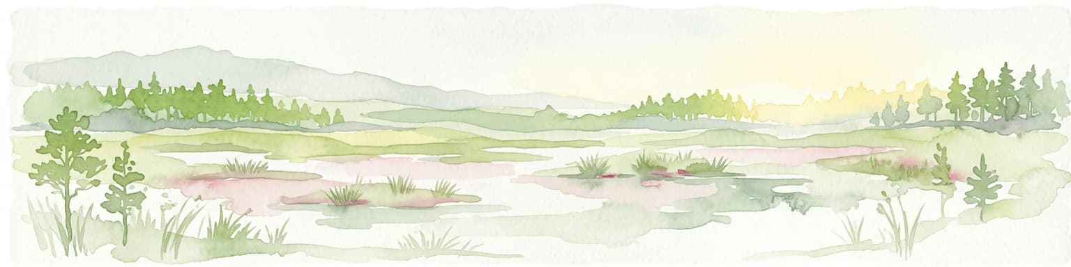
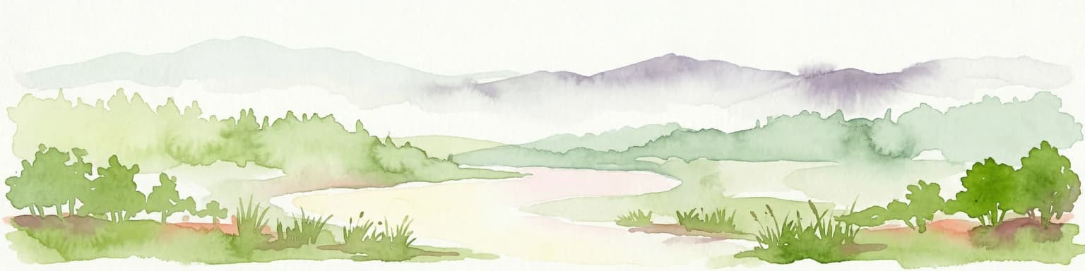
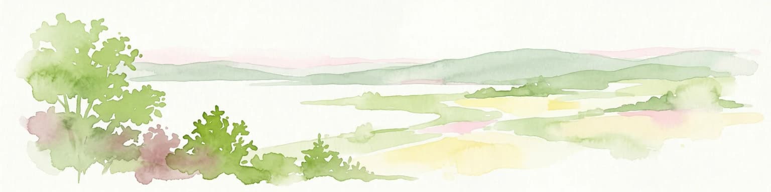
As Latvia's largest national park, Gauja offers a deep dive into a protected landscape defined by the ancient Gauja River valley and its spectacular Devonian sandstone cliffs. This page provides essential geographic context and atlas-style information, detailing the park's mapped boundaries, unique geological formations, and the rich tapestry of natural and cultural heritage that makes it a cornerstone of the region's protected lands. Explore the varied terrain, from river valleys to rolling uplands, all within a meticulously mapped conservation area.

Area
917.87 km²
Established
1973
IUCN
II
Relief
Mixed relief
Watercolor illustration of a river flowing through a forested landscape with mountains in the background
National park

Slītere National Park: Latvia's Protected Coastal Landscape with Blue Hills and Bird Flyways

Explore the unique terrain and protected geography of this Baltic national park.

Slītere National Park represents a distinctive protected landscape on Latvia's Courland Peninsula, celebrated for its ancient geological formations like the Blue Hills (Zilie Kalni) and its role as a crucial bird migration corridor. The park's geography encompasses varied dune systems, wetland habitats, and rich broadleaf forests, offering a unique mapped environment. Discover the park's protected area boundaries and its significance within the regional Baltic geography, highlighting its unique ecosystem features and landscape context.

Area
164.14 km²
Established
2000
IUCN
II
Relief
Mixed relief
Watercolor illustration showing a lake, trees, and distant hills
National parkLatgale

Rāzna National Park: Protected Landscape and Regional Geography in Latgale

Explore the mapped terrain of Latvia's largest lake region.

Rāzna National Park, situated in the Latgale region, provides an essential focal point for understanding eastern Latvia's protected landscapes. This national park, recognized for its extensive glacial terrain and the significant Lake Rāzna, offers a distinct geographic profile. Users can explore its mapped boundaries, discover its role as a vital protected area, and understand its landscape context within the broader atlas of Latvia's natural heritage.

Area
596.14 km²
Established
2007
IUCN
II
Relief
Highland
Landscape and environment

Understand how Latvia is shaped by terrain, ecosystems, and seasonal conditions

Latvia geography, nature, climate, and landscape context for park-focused travel research
Explore the physical geography, natural setting, and climate patterns of Latvia through a location-first overview built for travel research, national park discovery, and broader regional context. This section helps explain how landscapes, habitats, and environmental conditions shape what people search for, where they travel, and how they experience protected areas in Latvia.

Latvia geography and landscape

Latvia is located in the Baltic region of northern Europe along the eastern shore of the Baltic Sea. It borders Estonia to the north, Lithuania to the south, Russia to the east, and Belarus to the southeast. The country shares a maritime border with Sweden to the west. The terrain is largely flat with lowland plains and hills, characterized by extensive forests, lakes, and rivers.

Latvia nature and environment

Latvia features extensive forests covering about half of its territory, numerous lakes, and wetland areas. The country lies within the boreal forest ecosystem. Major rivers include the Daugava, and the coastline along the Baltic Sea includes sandy beaches and coastal meadows.

Latvia climate and seasonal conditions

Latvia has a temperate seasonal climate with four distinct seasons. Winters are cold and summers are mild to warm. Average temperatures range from around -5°C in winter to around 17°C in summer. Precipitation is fairly evenly distributed throughout the year.

Explore this place

Related topics and popular queries

Ways to explore Latvia
Useful phrases, related topics, and discovery prompts connected to Latvia.
where is Latviawhat is Latvia known forLatvia Baltic countriesLatvia capital cityLatvia population and areaLatvia countryBaltic statesNorthern EuropeRiga capitalLatvia EU memberLatvia populationLatvia geography
Park map

Explore the mapped geography and understand the spatial distribution of Latvia's diverse protected landscapes.

Explore the National Parks Map of Latvia: Discover Protected Areas and Geographic Distribution
Preview the mapped locations of Latvia's national parks and significant protected natural areas, encompassing diverse landscapes from coastal dunes to expansive forests. This geographic overview provides valuable insights into the spatial distribution and regional context of conservation sites across Latvia, aiding detailed atlas-style exploration.

Mapped geography: Understand Latvia's protected areas and park distribution across its Baltic regions.

Frequently Asked Questions About Latvia's National Parks and Protected Areas
Browse essential insights into Latvia's national parks and diverse protected areas, exploring their geographic distribution and conservation significance across the Baltic region. These frequently asked questions provide a comprehensive overview of Latvia's key conservation landscapes, helping you understand their role in preserving the country's unique natural heritage and mapped terrain.
Other countries

Compare Latvia's Protected Landscapes with Nearby European Countries in the MoriAtlas

Explore Other National Parks and Protected Areas Beyond Latvia
From Latvia, extend your exploration of national parks and other protected natural areas across Northern Europe, navigating diverse terrains and conservation landscapes through the MoriAtlas platform. This comprehensive country-level index offers valuable geographic context and structured facts for comparing protected areas and planning your next atlas-driven discovery.

Finland National Parks and Protected Areas: Explore Geographic Distribution

Access a structured geographic atlas for Finland, detailing its national parks and protected areas. This resource facilitates exploration of the country's diverse natural landscapes, emphasizing mapped boundaries and regional context. Understand how protected lands are distributed across Finland, providing a clear overview for geographic discovery and atlas-based navigation of its natural terrain.

42 parks

Explore Sweden's National Parks and Protected Areas: A Geographic Atlas View

Navigate Sweden's rich collection of national parks and protected areas through MoriAtlas. This platform provides a structured overview of their geographic distribution, allowing for detailed map-based exploration of protected lands. Understand the landscape context and regional geography of Sweden's natural reserves, facilitating a comprehensive discovery of its conservation areas.

26 parks

Explore National Parks and Protected Areas Across Poland's Geography

Delve into the structured geography of Poland's protected natural areas. This atlas view highlights the distribution of national parks and other significant protected lands, offering insights into their regional context. Use this entry point to navigate and understand the geographic scope of conservation landscapes across Poland, from its diverse terrains to its mapped natural features.

25 parks

Discover National Parks and Protected Areas Across Estonia | Geographic Atlas Overview

Navigate Estonia's protected natural areas, from national parks to conservation zones, with a geography-first approach. MoriAtlas presents a structured atlas view, highlighting the mapped boundaries and regional context of these important landscapes. This resource is ideal for understanding the geographic spread and ecological significance of protected lands within Estonia.

4 parks

Explore National Parks and Protected Areas: Lithuania's Geographic Landscape Atlas

MoriAtlas offers a comprehensive view of Lithuania's protected natural areas, focusing on their geographic distribution and mapped boundaries. This resource serves as a crucial atlas entry point for understanding the country's protected landscapes, enabling users to navigate and discover the extent of national parks and reserves within their regional context.

3 parks

Belarus National Parks and Protected Landscapes: Geographic Atlas Overview

MoriAtlas offers a detailed atlas view of Belarus, focusing on its national parks and protected areas. Understand the geographic spread and mapped boundaries of conserved regions, providing essential context for exploring the nation's natural landscapes. This resource is designed for users seeking structured information on protected lands and their spatial relationships.

2 parks

Kosovo National Parks and Protected Areas: Geographic Atlas and Landscape Context

Navigate the protected natural areas of Kosovo through an atlas lens. This entry provides a comprehensive geographic overview, highlighting the distribution of national parks and protected lands. Understand the unique landscape features and regional context of conservation efforts within Kosovo, ideal for structured map-based exploration.

2 parks

Denmark National Parks and Protected Landscapes: A Geographic Atlas Overview

This atlas entry for Denmark allows for the exploration of its national parks and protected areas, focusing on their geographic distribution and mapped boundaries. Understand the context of these protected lands within the broader landscape of Denmark, facilitating structured discovery of natural terrain and conservation areas through an intuitive, map-aware interface.

2 parks
MoriAtlas Explorer

Continue Your Global Geographic Exploration with MoriAtlas Park Discovery

Dive deeper into the world's protected landscapes and national parks through MoriAtlas's structured atlas interface. Discover how continents and countries are organized, and how individual park geography fits into the broader map. Our platform is built for understanding the distribution and context of protected areas worldwide, facilitating your journey through global natural geography.

Global natural geography