

Mori Atlas logo
Country natural feature index

Mapping the hydrological connectivity and natural watercourse networks throughout Latvia

Streams within Protected Landscapes and National Park Geography across Latvia

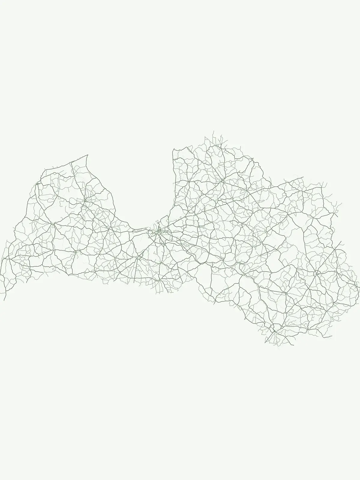
A stream represents a natural flowing watercourse contained within a channel, often serving as a critical tributary within the broader Latvian drainage network. This collection documents identified streams situated within protected areas and national parks throughout Latvia. Reviewing these features enables a clearer understanding of how water distribution influences regional topography, ecological boundaries, and the interconnected nature of protected landscapes.

Streams within Protected Landscapes and National Park Geography across Latvia

Trace flowing Baltic watercourses and seasonal forest tributaries within Latvia park systems

Browse Named Stream Features and Hydrological Channels in Latvia Parks

Catalogued records of stream entities reveal the intricate drainage networks, spring-fed channels, and local tributaries flowing through Latvia national parks and nature reserves. Analyzing local watercourse flow regimes and terrain connections helps researchers compare Baltic hydrology across distinct regional conservation zones.

No natural features found

Other countries

Compare Latvia's Protected Landscapes with Nearby European Countries in the MoriAtlas

Explore Other National Parks and Protected Areas Beyond Latvia

From Latvia, extend your exploration of national parks and other protected natural areas across Northern Europe, navigating diverse terrains and conservation landscapes through the MoriAtlas platform. This comprehensive country-level index offers valuable geographic context and structured facts for comparing protected areas and planning your next atlas-driven discovery.
Slovakia

Slovakia Stream Collections: Mapped Watercourses in National Parks and Protected Areas

Access a detailed inventory of named streams identified across various Slovakia protected areas. This collection highlights individual watercourses, their flow characteristics within channel networks, and their geographic integration into the local terrain and regional mountain ecosystems.

128 features

Poland

Streams and Natural Watercourses in the Protected Landscapes of Poland

Explore the inventory of named streams identified within the protected areas and national parks of Poland. This dataset provides geographic insight into the flow regimes and topographic associations of various watercourses, allowing for a comparative analysis of natural drainage networks across diverse Polish ecosystems.

61 features
United Kingdom

United Kingdom Streams: Geography of Natural Watercourses in Protected Landscapes

Explore a collection of named streams mapped within the United Kingdom. This resource provides geographic and hydrological context for individual watercourses, highlighting their roles as tributaries and channels within protected natural regions and varied national terrains.

49 features
United States of America

Streams and Watercourse Networks within National Parks of the United States of America

Analyze the distribution of named streams within the United States of America park system. Gain insights into the physical geography of these watercourses as they traverse varied terrain and interact with broader regional drainage networks in protected natural areas.

43 features
Germany

Germany Streams and Natural Watercourses: An Atlas of Protected Landscape Hydrology

This collection presents named streams found in German protected areas, detailing their role as vital watercourses within broader drainage networks. Access geographic data on channels, from spring fed to seasonal flows, and trace their physical presence across the diverse regional terrain of Germany.

35 features
Canada

Canada Stream Atlas: Mapped Watercourses Within National Protected Park Boundaries

An exploration of named streams across Canada, focusing on their presence within protected park lands. This collection highlights the diverse hydrological characteristics and spatial distribution of these flowing watercourses, offering a clear geographic perspective on their role within varied natural terrain and drainage basins.

23 features
France

Atlas of Streams and Natural Watercourses within French National Parks and Protected Areas

Investigate natural streams and watercourses situated within the diverse geography of France. This collection focuses on identified flowing channels and their roles as essential tributaries within protected park boundaries, providing a clear look at local hydrological terrain and natural drainage connectivity.

23 features
Netherlands

Netherlands Stream Network: Geographic Analysis of Protected Watercourses

Analyze the distribution of named streams throughout the Netherlands. This resource provides a detailed look at how individual watercourses are situated within protected park environments, offering insights into their role in regional hydrology and natural terrain formation.

23 features
Natural feature types

Compare diverse ecological and hydrological formations across Latvia's protected territories.

Geographic Feature Types Beyond Streams in Latvia Protected Areas

Moving beyond stream networks reveals alternative physical, hydrological, and coastal classifications that define the Baltic nation's protected regions. Studying diverse geographic classifications helps construct a comprehensive overview of regional ecological systems and varied terrain structures across Latvian parks.

Mapped river systems within Latvian protected areas

Rivers

Discover documented rivers flowing through the natural terrain and park boundaries of Latvia. This index provides a structured way to observe watercourse systems, tributaries, and channel dynamics as they intersect with significant protected lands throughout the country.

14 features3 parks
Latvia Rivers and Protected Areas

Lakes

A lake is an inland body of standing water occupying a natural or substantially natural basin and supplied by precipitation, groundwater, streams, rivers, meltwater, or combinations of these sources. Lakes can form through tectonic, volcanic, glacial, karst, fluvial, coastal, or impact processes and may drain externally or remain closed. Size alone does not consistently separate lakes from ponds, so the established entity name should be respected.

4 features1 park
Explore features
Explore features

Bays

A bay is a body of water partly enclosed by a curved or recessed shoreline while remaining openly connected to a larger sea, ocean, or lake. Its form may reflect erosion, drowned valleys, glacial excavation, faulting, volcanic structure, sediment barriers, or other coastal processes. The category describes geographic enclosure and should not be treated as synonymous with a gulf, lagoon, harbor, or estuary when the source uses a more specific identity.

1 feature1 park
Explore features
Explore features

Geographic catalog of karst and erosion sites in Latvia.

Cave entrances

This collection serves as a focused resource for tracking cave entrance locations identified within Latvian protected areas. Each entry highlights the surface manifestation of subterranean systems, providing context on how these karst openings and erosional features are distributed across the national landscape.

1 feature1 park
Latvia Cave Entrance Geography

Geographic analysis of cliff features in Latvian protected landscapes

Cliffs

Access a structured inventory of cliffs located within protected zones in Latvia. The collection provides insight into the terrain orientation and physical characteristics of these steep rock faces, allowing for regional analysis of geological features tied to specific protected environments.

1 feature1 park
Cliffs in Latvia Protected Areas
MoriAtlas Explorer

Continue Exploring Natural Features and Park Landscapes of Latvia

Gain insight into the geographic distribution of natural features linked to protected areas throughout Latvia. MoriAtlas provides a structured view of land, water, and forest markers to assist in deeper landscape study and national geographic discovery.





