

Mori Atlas logo
Country natural feature index

Examining surface openings and geomorphological connections across Latvian park territories.

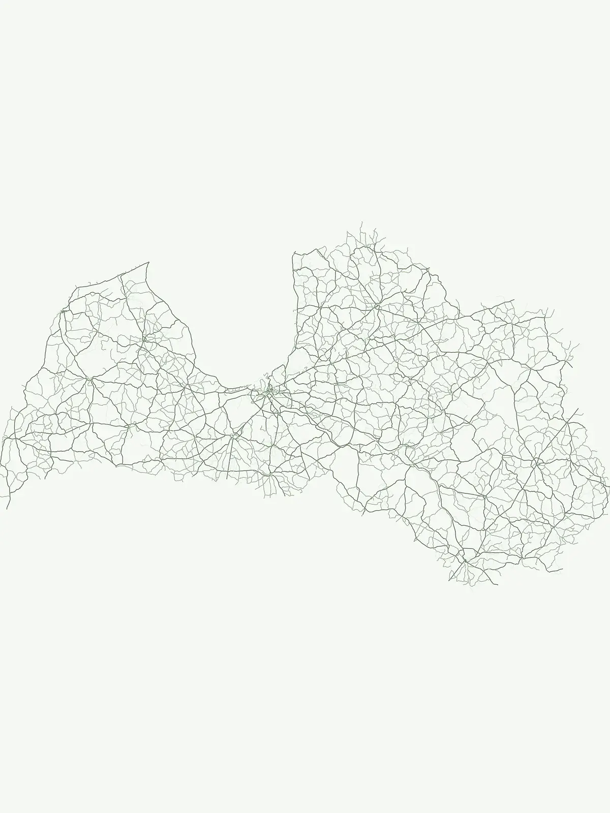
Mapped Cave Entrance Sites within Protected Natural Landscapes of Latvia

This geographic collection tracks identified cave entrance points situated within the broader protected landscape framework of Latvia. These surface openings, formed through processes such as dissolution and erosion, represent key connection points where underground voids intersect the natural terrain. By organizing these sites geographically, observers can better understand the distribution of karst and erosional features located within the nation's diverse regional geography and park boundaries.

Mapped Cave Entrance Sites within Protected Natural Landscapes of Latvia

Navigating natural cave entrance formations across Latvia's protected Baltic sandstone valleys

Cave Entrance Features and Karst Openings Mapped in Latvia's Protected Landscapes

Geographic records of each documented cave entrance in Latvia highlight the natural sandstone and karst openings situated inside regional park landscapes. Comparing physical coordinates, opening structures, and surrounding terrain profiles helps researchers track how local erosion shapes Baltic park systems.

No natural features found

Other countries

Compare Latvia's Protected Landscapes with Nearby European Countries in the MoriAtlas

Explore Other National Parks and Protected Areas Beyond Latvia

From Latvia, extend your exploration of national parks and other protected natural areas across Northern Europe, navigating diverse terrains and conservation landscapes through the MoriAtlas platform. This comprehensive country-level index offers valuable geographic context and structured facts for comparing protected areas and planning your next atlas-driven discovery.
Hungary

Hungary Cave Entrance Index: Regional Map and Protected Area Geography

Discover a structured index of identified cave entrance locations within Hungarian national parks and protected areas. This resource provides a focused view of surface-level voids that connect to subterranean systems, enabling precise geographic study of karst and erosion-based terrain features across the national landscape.

77 features

Poland

Poland National Park Cave Entrance Sites and Natural Karst Openings

Explore a dataset of cave entrance locations identified within Poland. These mapped points illustrate surface openings associated with karst systems and geological formations across the nation, providing a clear reference for the regional distribution of natural voids within protected land boundaries.

55 features
United Kingdom

Cave Entrance Sites within United Kingdom National Parks and Protected Landscapes

Access a structured inventory of identified cave entrance sites located across United Kingdom protected landscapes. This resource focuses on the spatial representation of surface openings, providing a clear geographic context for features connected to broader underground systems within various protected areas.

37 features
Slovakia

Slovakia National Park Cave Entrance Atlas: Mapped Geologic Surface Features

Examine the distribution of cave entrance points found within the national parks of Slovakia. These data points provide a focused view of surface-to-void openings, helping to interpret the karst landscape and geologic characteristics inherent to the regional mountainous terrain.

33 features
Romania

Romania

8 features
Serbia

Serbia

8 features
Italy

Italy National Park Cave Entrance Atlas: Mapped Geological Surface Openings

Examine the distribution of named cave entrance features throughout the national parks and protected landscapes of Italy. This collection maps the distinct surface openings that serve as primary portals to subterranean geological systems, providing a structured view of local karst and erosional terrain across the Italian peninsula.

5 features
France

Cave Entrance Features in France: A Geographical Index of Protected Surface Openings

Access a structured index of named cave entrance features situated within the boundaries of French protected areas. These records highlight the natural surface openings connecting to caverns and lava tubes, offering a precise look at how geologic voids manifest across the varied terrain and regional geography of France.

4 features
Natural feature types

Trace the diverse physical and ecological formations that define Latvia's protected areas.

Diverse Natural Features and Landforms Beyond Cave Entrances in Latvia

Expanding geographic searches beyond subterranean openings reveals a diverse array of hydrological, ecological, and coastal features preserved across the country. Navigating other natural feature classes provides a comprehensive look at Latvia's terrain, guiding researchers to unique wetland habitats and glacial landforms.

Mapped river systems within Latvian protected areas

Rivers

Discover documented rivers flowing through the natural terrain and park boundaries of Latvia. This index provides a structured way to observe watercourse systems, tributaries, and channel dynamics as they intersect with significant protected lands throughout the country.

14 features3 parks
Latvia Rivers and Protected Areas

Lakes

A lake is an inland body of standing water occupying a natural or substantially natural basin and supplied by precipitation, groundwater, streams, rivers, meltwater, or combinations of these sources. Lakes can form through tectonic, volcanic, glacial, karst, fluvial, coastal, or impact processes and may drain externally or remain closed. Size alone does not consistently separate lakes from ponds, so the established entity name should be respected.

4 features1 park
Explore features
Explore features

Hydrological terrain and watercourse distribution

Streams

Trace the path of streams within protected areas across Latvia, highlighting the essential role these watercourses play in shaping local geography. This collection offers a structured overview of riparian features and their integration into the broader natural terrain of the Baltic region.

4 features2 parks
Latvia Stream Protected Area Geography

Bays

A bay is a body of water partly enclosed by a curved or recessed shoreline while remaining openly connected to a larger sea, ocean, or lake. Its form may reflect erosion, drowned valleys, glacial excavation, faulting, volcanic structure, sediment barriers, or other coastal processes. The category describes geographic enclosure and should not be treated as synonymous with a gulf, lagoon, harbor, or estuary when the source uses a more specific identity.

1 feature1 park
Explore features
Explore features

Geographic analysis of cliff features in Latvian protected landscapes

Cliffs

Access a structured inventory of cliffs located within protected zones in Latvia. The collection provides insight into the terrain orientation and physical characteristics of these steep rock faces, allowing for regional analysis of geological features tied to specific protected environments.

1 feature1 park
Cliffs in Latvia Protected Areas
MoriAtlas Explorer

Continue Exploring Natural Features and Park Landscapes of Latvia

Gain insight into the geographic distribution of natural features linked to protected areas throughout Latvia. MoriAtlas provides a structured view of land, water, and forest markers to assist in deeper landscape study and national geographic discovery.





