
Mori Atlas logo
Countries

Browse the mapped distribution of protected lands and natural landscapes across Antigua and Barbuda.

Antigua and Barbuda National Parks and Protected Areas: A Geographic Atlas

Antigua and Barbuda, a Caribbean island nation, offers a unique landscape of protected natural areas waiting to be explored through its geographic context. This atlas provides a structured entry point to understanding the distribution of its national parks and protected lands, highlighting their mapped boundaries and integration within the regional geography. Discover the diverse natural terrain and conservation areas that define this island country, using its unique position in the Lesser Antilles as a guide to its protected landscape.

Antigua and Barbuda National Parks and Protected Areas: A Geographic Atlas
Park system

Antigua and Barbuda Park System, Protected Area Snapshot and Records

Comparing scale, historical establishment, and habitat distribution across known island reserves

Calculated metrics summarize total protected land, median park size, and historical establishment patterns across available island records. Statistical distributions highlight the balance of conservation designations and coastal habitats within the national park network.

Oldest known park

Established in 1779.

Designation distribution

National park2
Protected area1

Climate distribution

Tropical1
About

Mapped Protected Landscapes: Tracing the Geographic Spread of National Parks in Antigua and Barbuda

Explore National Parks and Protected Areas in Antigua and Barbuda: A Caribbean Atlas View

Browse the diverse national parks and protected areas of Antigua and Barbuda, offering a clear geographic overview of conservation efforts across this Caribbean island nation. The country view serves as an essential atlas entry point for understanding the distribution of unique protected landscapes and their regional context in the Lesser Antilles.

Antigua and Barbuda is a small island nation in the Caribbean Lesser Antilles, consisting of two main inhabited islands (Antigua and Barbuda) and several smaller islands. The country gained independence in 1981 and operates as a constitutional monarchy within the Commonwealth. It is known for its beaches, tourism economy, and strategic location between the Atlantic Ocean and Caribbean Sea.

Antigua and Barbuda is a sovereign island nation located in the eastern Caribbean, part of the Lesser Antilles archipelago. The country consists primarily of the two main islands of Antigua and Barbuda, along with the smaller island of Redonda and numerous islets. Antigua and Barbuda achieved independence from the United Kingdom in 1981 and maintains a constitutional monarchy system of government, with Charles III as head of state. The nation's economy is largely driven by tourism, with agriculture and financial services also contributing. The population is concentrated primarily on Antigua, with St. John's as the largest city and administrative center.

Currency code:XCD
ISO code:AG
Parks count
3
Capital
St. John's
Area
440 km²
Population
106,365 (2,026)

Coastal
Island
Mountainous
Landlocked
Park atlas3 parks

Trace the Mapped Geography of Essential Protected Territories and Marine Reserves Across this Caribbean Nation

National Parks and Protected Areas in Antigua and Barbuda: Explore Caribbean Conservation Landscapes

Browse the essential list of national parks, marine protected areas, and other significant conservation landscapes across Antigua and Barbuda, tracing their locations and key features within this Caribbean island nation. Discover the geographic spread of protected territories, compare unique coastal and terrestrial park settings, and navigate detailed information for each critical protected area in the country.
Watercolor painting of a coastal landscape with green hills, trees in the foreground, and a calm sea, featuring a light and airy artistic style.
National parkAntigua and Barbuda

Nelson's Dockyard National Park: Protected Maritime Heritage and Caribbean Coastal Geography

Mapped terrain, historical dockyards, and Antiguan coastal trails

Nelson's Dockyard National Park preserves a critical maritime hub in Antigua and Barbuda, defined by the interplay between a natural hurricane-shelter harbour and the rugged hills of the south coast. The protected site encompasses substantial stone naval architecture from the Georgian era alongside a network of trails that trace the dry forest ridges above English Harbour. This geography offers a distinct perspective on how human historical impact and natural tropical landscape preservation coexist in the Caribbean Lesser Antilles.

Relief
Lowland
Scope
Mixed
Water
Major water bodies
National parkAntigua and Barbuda

Green Castle Hill National Park: Volcanic Landscapes and Archaeological Sites in Antigua

A preserved hilltop ridge within the Shekerley Mountains of Antigua.

Green Castle Hill preserves a significant volcanic landscape in the southwest of Antigua. Renowned for its circle of ancient standing stones and its status as the first national park within the Shekerley range, the site offers a unique intersection of cultural heritage and mountain geography. Access map-driven insights into the protected boundaries and regional terrain that define this Caribbean hilltop.

Established
2008
Relief
Mountain
Climate
Tropical
Scope
Terrestrial
Protected areaAntigua and Barbuda

Fort Barrington Protected Area: Historic Coastal Ruins and Mapping in Antigua and Barbuda

Coastal hilltop ruins and strategic Caribbean maritime defense geography

Fort Barrington occupies a commanding vantage point above St. John's Harbour in Antigua and Barbuda. The site preserves stone ruins from an 18th century battery, illustrating the strategic importance of this elevated coastal landscape. Our data mapping highlights the fort's relationship to the harbor entrance, providing clear context for its role in colonial maritime defense and its ongoing environmental exposure within the Lesser Antilles.

Established
1779
Relief
Upland
Access
Easy access
Scope
Terrestrial
Landscape and environment

Understand how Antigua and Barbuda is shaped by terrain, ecosystems, and seasonal conditions

Antigua and Barbuda geography, nature, climate, and landscape context for park-focused travel research

Explore the physical geography, natural setting, and climate patterns of Antigua and Barbuda through a location-first overview built for travel research, national park discovery, and broader regional context. This section helps explain how landscapes, habitats, and environmental conditions shape what people search for, where they travel, and how they experience protected areas in Antigua and Barbuda.

Antigua and Barbuda geography and landscape

Antigua and Barbuda is located in the Caribbean Sea within the Leeward Islands of the Lesser Antilles. The country is bounded by the Atlantic Ocean to the east and the Caribbean Sea to the west. Antigua is mostly flat with the Shekerley Mountains in the southeast, while Barbuda is relatively flat with the Barbuda Highlands in the northwest. The Central Plain stretches from St. John's to English Harbour on Antigua. The country shares maritime borders with Anguilla, Saint Barthélemy, Saint Kitts and Nevis, Montserrat, and Guadeloupe.

Antigua and Barbuda nature and environment

Antigua and Barbuda lies within the Leeward Islands moist forest and Leeward Islands xeric scrub ecoregions. Notable natural features include Codrington Lagoon, one of the largest internal bodies of water in the Lesser Antilles. Despite its dense population, the country contains significant undeveloped land areas.

Antigua and Barbuda climate and seasonal conditions

Antigua and Barbuda has a tropical savanna climate, with pockets of tropical monsoon climate in the southwestern part of Antigua. The country experiences a dry season typically from December to May.

Explore this place

Related topics and popular queries

Ways to explore Antigua and Barbuda

Useful phrases, related topics, and discovery prompts connected to Antigua and Barbuda.
Where is Antigua and Barbuda locatedWhat is Antigua and Barbuda government typeAntigua and Barbuda islands CaribbeanAntigua and Barbuda geography climateCaribbean island nations listAntigua and Barbuda countryCaribbean islands nationAntigua Barbuda travel destinationLeeward Islands Antigua BarbudaCaribbean constitutional monarchyEastern Caribbean dollar nation
Park map

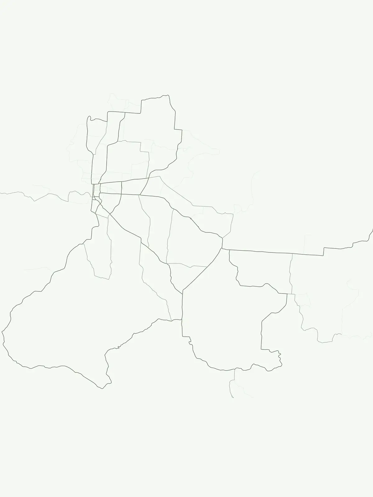
Trace the distribution of national parks and marine protected areas across the Caribbean islands of Antigua and Barbuda.

Antigua and Barbuda National Parks Map: Explore Protected Areas and Coastal Geography

Browse the geographic spread of national parks and protected areas across Antigua and Barbuda using this interactive map preview. Expand the dedicated country map for a comprehensive atlas view, exploring coastal landscapes, marine reserves, and terrestrial conservation zones in greater detail.

Understanding the Geographic Distribution and Conservation Landscapes Across Antigua and Barbuda's Islands

Frequently Asked Questions About National Parks and Protected Areas in Antigua and Barbuda

Explore common inquiries regarding national parks and protected areas within Antigua and Barbuda, covering their status, locations across the main islands, and the types of landscapes they safeguard. These frequently asked questions offer essential context for understanding the unique park geography, marine environments, and overall conservation efforts across this Caribbean nation.
Other countries

Compare the varied protected-area geography and conservation landscapes across the broader Caribbean region, expanding beyond Antigua and Barbuda.

Browse Countries with National Parks and Protected Areas Near Antigua and Barbuda

Explore national parks and protected areas in other Caribbean nations, tracing the regional context of conservation landscapes adjacent to Antigua and Barbuda. Continue atlas discovery to compare diverse protected geographies and understand the broader spread of national park systems across the Lesser Antilles and surrounding islands.

Dominican Republic National Parks and Protected Areas: An Atlas of Mapped Landscapes

Navigate the Dominican Republic's protected natural areas with this geography-focused atlas. Explore individual park boundaries and understand their placement within the broader landscape context of Hispaniola island. This resource provides a structured view of the nation's conservation lands, ideal for geographic and atlas-based discovery.

11 parks

Puerto Rico National Parks and Protected Areas: Regional Geography and Atlas Explorer

Explore the structured dataset of Puerto Rico protected areas, ranging from mountain and elfin forests to unique karst landscapes and coastal watersheds. Access detailed information on state forest boundaries and regional geographic distribution throughout the archipelago.

10 parks

Dominica's National Parks and Protected Landscapes: An Atlas Explorer

Access a structured geographic overview of Dominica's national parks and protected natural areas. This atlas-style explorer helps you understand the distribution of protected lands, the unique volcanic terrain, and the mapped boundaries of Dominica's conservation landscapes. Delve into the island's natural geography with detailed, context-aware information for focused exploration.

3 parks

National Parks and Protected Areas of Grenada: Regional Geography and Atlas

Examine the geographic framework of protected areas within Grenada. This resource highlights the spatial distribution of key sites including montane forest reserves and coastal wetlands, providing a clear overview of the national landscape and its conservation boundaries.

2 parks

Guadeloupe Protected Areas Atlas: National Parks and Mapped Landscapes

Navigate the protected natural areas of Guadeloupe, a French Caribbean island. This atlas provides detailed geographic context for its national parks, volcanic landscapes, and marine reserves. Understand the distribution and mapped boundaries of these key conservation sites, offering a structured approach to exploring the region's unique environments.

1 park

Caribbean Netherlands National Parks, Protected Landscapes, and Regional Geography

Access a structured overview of protected lands across the Caribbean Netherlands. This resource provides geographic data on national parks and natural wilderness areas, facilitating the study of island environments from Bonaire to Saba and Sint Eustatius.

1 park

Sint Maarten National Parks and Regional Protected Area Geography

Trace the environmental geography of Sint Maarten by investigating its network of protected areas and marine parks. Access precise mapping data and site-specific records for natural landscapes across the island territory, including essential coral reef and seagrass meadow habitats.

1 park

Trinidad and Tobago National Parks and Protected Areas: Geographic Atlas Explorer

Access a detailed geographic overview of Trinidad and Tobago, featuring a structured database of protected areas and national parks. Investigate the distribution of natural landscapes from coastal peninsulas to rugged interior terrain, providing a clear reference for understanding the country's environmental boundaries and regional geography.

1 park

Protected area types

Examine Antigua and Barbuda Protected Area Designation Families

Deepen your understanding of Caribbean geography by exploring the specific ways Antigua and Barbuda classifies its protected landscapes. MoriAtlas provides a clear path to examine how each designation category helps define the regional map and historical preservation strategy.

Antigua and Barbuda Park Designations
MoriAtlas Explorer

Continue Your Global Geographic Exploration with MoriAtlas Park Discovery

Dive deeper into the world's protected landscapes and national parks through MoriAtlas's structured atlas interface. Discover how continents and countries are organized, and how individual park geography fits into the broader map. Our platform is built for understanding the distribution and context of protected areas worldwide, facilitating your journey through global natural geography.

Global natural geography






