
Mori Atlas logo
Countries

Explore mapped boundaries and regional landscapes from tropical montane forests to coastal lagoons.

Comprehensive Geographic Atlas of National Parks and Protected Areas Across Grenada

Navigate the diverse natural landscapes of Grenada through a structured geographic lens. This atlas provides mapped context for protected areas including the rugged volcanic terrain of Mount St. Catherine Forest Reserve and the delicate coastal ecosystems of Levera National Park. Gain insights into the regional distribution of protected lands across the main island and the surrounding Grenadines.

Related tags

island nationcaribbeanwindward islandscommonwealth realmconstitutional monarchy
Park system

Grenada Park System: Protected Areas, Scale, and Habitat Profiles

Comparing recorded park sizes, historical designations, and ecological zones across the islands.

Calculations across current atlas records reveal the combined extent, median dimensions, and oldest designations shaping the national park network. These metrics support structural comparison of habitat distributions, climate zones, and protected boundaries throughout the island terrain.

Known protected area

14.5 km²

Area data available for 2 of 2 parks.

Median park size

7.3 km²

Median across 2 parks with known area.

Largest known park

Recorded area: 9.3 km².

Designation distribution

National park1
Nature reserve1

Habitat distribution

Montane forest1
Tropical forest1

Climate distribution

Tropical1
About

Mapped regional geography and protected landscapes across the Caribbean island nation

National Parks and Protected Areas in Grenada

Browse national parks, coastal reserves, and upland forest habitats spanning the island geography of Grenada. Regional maps and protected area boundaries provide a structured entry point for exploring Caribbean conservation landscapes.

Grenada is a small island nation in the Caribbean, comprising the main island of Grenada plus Carriacou, Petite Martinique, and several smaller islands of the Grenadines. Famous for its spice production, particularly nutmeg and mace, it became independent from British rule in 1974. The country is governed as a constitutional monarchy with King Charles III as head of state, represented by a Governor-General, while the Prime Minister leads the elected government.

Grenada is a Caribbean island nation located in the eastern Caribbean Sea, forming part of the Windward Islands archipelago. The country consists of the island of Grenada itself along with smaller islands including Carriacou and Petite Martinique, and several tiny islands to the north that belong to the Grenadines chain. Historically inhabited by indigenous Carib peoples, the island was colonized by the French in 1649 before being ceded to Britain in 1763. Following a period as an Associated State, Grenada achieved full independence in 1974, becoming a constitutional monarchy within the Commonwealth of Nations. The country is renowned globally for its spice production, earning the moniker 'Island of Spice' due to its significant nutmeg and mace exports.

Largest city:St. George's
Currency code:XCD
ISO code:GD
Parks count
2
Capital
St. George's
Area
344 km²
Population
114,621 (2,024)

Coastal
Island
Mountainous
Landlocked
Park atlas2 parks

Explore volcanic terrain, forest reserves, and coastal wetlands across the islands.

National Parks and Protected Areas in Grenada

Browse protected areas in Grenada spanning tropical montane forests, mangrove ecosystems, and volcanic watersheds. National park records provide detailed geographical context for targeted nature exploration.
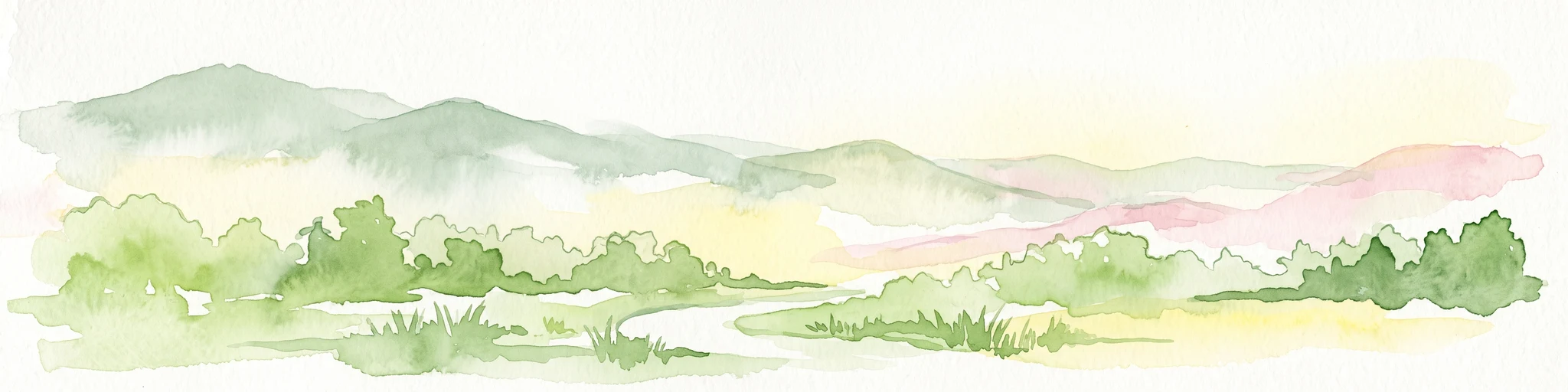
A horizontal watercolor illustration showing soft green rolling hills in the background, with lush green trees and a winding path in the foreground.
Nature reserveGrenada

Mount St. Catherine Forest Reserve: Protected Volcanic Landscapes and Cloud Forest Geography

Highland terrain and watershed ecosystems in Grenada

Spanning 934 hectares across Grenada's central massif, Mount St. Catherine Forest Reserve protects the island's tallest peak and most vital watershed catchment zones. This area features a dramatic volcanic landscape characterized by steep ravines, thermal springs, and an altitudinal transition from mature rainforest to fragile elfin woodland at the summit.

Area
9.34 km²
Relief
Mountain
Climate
Tropical
Access
Moderate access
National parkSaint Patrick

Levera National Park: Protected Wetlands, Coastal Lagoons, and Offshore Cays in Saint Patrick

Coastal geography and ecological landscape mapping

Levera National Park serves as a central protected area in Saint Patrick, defined by its rare combination of coastal lagoons, mangrove fringes, and dry bush woodland. This geography bridges inland habitats with a chain of offshore islets, providing a critical perspective on the island's coastal ecosystem and biodiversity patterns within the broader Caribbean region.

Area
5.18 km²
Relief
Lowland
Scope
Mixed
Water
Major water bodies
Landscape and environment

Understand how Grenada is shaped by terrain, ecosystems, and seasonal conditions

Grenada geography, nature, climate, and landscape context for park-focused travel research

Explore the physical geography, natural setting, and climate patterns of Grenada through a location-first overview built for travel research, national park discovery, and broader regional context. This section helps explain how landscapes, habitats, and environmental conditions shape what people search for, where they travel, and how they experience protected areas in Grenada.

Grenada geography and landscape

Grenada occupies a strategic position in the southeastern Caribbean as the southernmost of the Windward Islands. It sits directly south of Saint Vincent and the Grenadines and approximately 100 miles north of Trinidad and Tobago and the South American mainland. The main island features varied terrain with mountainous interior regions and a coastline marked by bays, beaches, and small coves. The country's territory extends across 344 square kilometers, making it one of the smaller independent nations in the Western Hemisphere.

Grenada nature and environment

Grenada features diverse tropical ecosystems across its island territory. The interior regions contain lush forests with various native and cultivated species, while coastal areas support marine environments. The surrounding Caribbean waters are part of the broader Grenadines marine ecosystem. The country maintains several protected areas and nature reserves that preserve local biodiversity.

Grenada climate and seasonal conditions

Grenada experiences a tropical climate typical of Caribbean island nations. The dry season typically runs from January to May, while the wet season occurs from June to December. The island is susceptible to hurricanes during the Atlantic hurricane season from June to November, with Caribbean storm activity posing seasonal risks.

Explore this place

Related topics and popular queries

Ways to explore Grenada

Useful phrases, related topics, and discovery prompts connected to Grenada.
grenada island countrygrenada capital st georgesgrenada nutmeg spice productionwindward islands caribbeangrenada independence historygrenada caribbean islandsgrenada population areagrenada constitutional monarchycaribbean nationwindward islandsisland of spicegrenada nutmeg macegrenada independence 1974eastern caribbeanst georges grenadagrenadines islandscommonwealth nations caribbean
Park map

Trace park distribution across volcanic terrain and coastal wetland reserves

Grenada National Parks Map and Protected Areas Geography Overview

Browse initial marker locations for national parks and protected areas across Grenada. Open the complete country map view to analyze regional park geography and protected landscape boundaries in detail.

Explore structured insights into protected landscapes and island park distribution across Grenada.

Grenada National Parks FAQ: Common Questions on Protected Areas and Geography

Readers can review essential questions regarding protected areas, forest reserves, and coastal ecosystems across Grenada. These structured answers provide clear geographic context for national parks and regional conservation zones.
Other countries

Compare regional island ecosystems and expand your protected landscape search.

National Parks and Protected Areas in Other Countries Near Grenada

Browse national parks and protected areas in neighboring Caribbean nations to contrast regional island ecosystems and volcanic terrains. Extending your research across multiple country pages provides a complete geographic overview of tropical habitats throughout the region.

Venezuela National Parks and Protected Areas: A Geographic Overview

Explore Venezuela through its network of national parks and protected areas. This section provides a structured view of the country's conserved natural landscapes, highlighting their geographic distribution and mapped boundaries. Understand how these protected areas contribute to the regional geography and offer diverse terrain for atlas-based discovery.

69 parks

Puerto Rico National Parks and Protected Areas: Regional Geography and Atlas Explorer

Explore the structured dataset of Puerto Rico protected areas, ranging from mountain and elfin forests to unique karst landscapes and coastal watersheds. Access detailed information on state forest boundaries and regional geographic distribution throughout the archipelago.

10 parks

Antigua and Barbuda National Parks and Protected Areas: Geographic Discovery

Uncover the protected natural areas of Antigua and Barbuda through a structured geographic lens. This resource facilitates discovery of the nation's national parks and conservation landscapes, detailing their mapped boundaries and regional context. Understand how these protected lands contribute to the unique geography of the Caribbean nation, offering insights into their distribution and natural terrain. It serves as a vital atlas entry point for exploring the conservation geography of Antigua and Barbuda.

3 parks

Trinidad and Tobago National Parks and Protected Areas: Geographic Atlas Explorer

Access a detailed geographic overview of Trinidad and Tobago, featuring a structured database of protected areas and national parks. Investigate the distribution of natural landscapes from coastal peninsulas to rugged interior terrain, providing a clear reference for understanding the country's environmental boundaries and regional geography.

1 park

Guadeloupe Protected Areas Atlas: National Parks and Mapped Landscapes

Navigate the protected natural areas of Guadeloupe, a French Caribbean island. This atlas provides detailed geographic context for its national parks, volcanic landscapes, and marine reserves. Understand the distribution and mapped boundaries of these key conservation sites, offering a structured approach to exploring the region's unique environments.

1 park

Caribbean Netherlands National Parks, Protected Landscapes, and Regional Geography

Access a structured overview of protected lands across the Caribbean Netherlands. This resource provides geographic data on national parks and natural wilderness areas, facilitating the study of island environments from Bonaire to Saba and Sint Eustatius.

1 park

Sint Maarten National Parks and Regional Protected Area Geography

Trace the environmental geography of Sint Maarten by investigating its network of protected areas and marine parks. Access precise mapping data and site-specific records for natural landscapes across the island territory, including essential coral reef and seagrass meadow habitats.

1 park

Curacao National Parks and Protected Areas: Mapped Landscapes and Geography

Explore the curated geography of Curacao's national parks and protected lands. This atlas view details the distribution of conservation areas and natural landscapes, offering a structured approach to understanding the island nation's unique terrain and protected regions. Navigate Curacao's significant protected areas and gain geographic context for its natural heritage.

1 park

Protected area types

Browse Grenada Protected Area Categories and Conservation Designations

Navigate through organized designation families to better understand the landscape of Grenada. MoriAtlas provides a clear view of how protected areas are classified to support informed exploration of the island's diverse natural terrain and geographic boundaries.

Grenada Park Designation Families
MoriAtlas Explorer

Continue Your Global Geographic Exploration with MoriAtlas Park Discovery

Dive deeper into the world's protected landscapes and national parks through MoriAtlas's structured atlas interface. Discover how continents and countries are organized, and how individual park geography fits into the broader map. Our platform is built for understanding the distribution and context of protected areas worldwide, facilitating your journey through global natural geography.

Global natural geography






