Mori Atlas logo
Countries

Browse the geographic distribution of protected lands and natural landscapes across Thailand.

Thailand National Parks and Protected Areas: A Mapped Geographic Atlas

Understand the breadth of Thailand's protected areas through a structured geographic lens. This atlas entry point allows for exploration of national parks, mapped landscapes, and the regional distribution of conservation efforts across the Kingdom of Thailand. Delve into the natural terrain and discover where protected lands are situated, providing a foundation for understanding the country's diverse geography and park system.

Related tags

southeast asian countryconstitutional monarchy湄南河流域gulf of thailandmainland southeast asia
About

Trace the regional distribution of Thailand's natural reserves across its diverse terrain.

Explore Thailand National Parks and Protected Areas: Mapped Geography and Conservation Landscapes
Browse a comprehensive atlas of national parks and protected areas across Thailand, detailing their mapped geography and regional context within mainland Southeast Asia. Uncover the diverse conservation landscapes of Thailand, providing a valuable geographic entry point for exploring its unique network of natural reserves and biodiversity zones.

Thailand is a Southeast Asian nation formerly called Siam, located in mainland Southeast Asia. It operates as a unitary parliamentary constitutional monarchy under King Vajiralongkorn. The country borders Myanmar, Laos, Cambodia, and Malaysia, with maritime boundaries involving Vietnam, Indonesia, and India. Thailand has a population of nearly 66 million and covers approximately 513,120 km². Historically, the Sukhothai Kingdom marks the beginning of Thai history, followed by the powerful Ayutthaya Kingdom.

Thailand is a constitutional monarchy in mainland Southeast Asia with a population of approximately 66 million. The country has been known as Siam until 1939 and maintains a rich historical legacy through kingdoms such as Sukhothai and Ayutthaya. Bangkok serves as both the capital and largest city. Thailand's economy is the 31st largest by nominal GDP and shares land borders with four countries plus maritime boundaries with several more.

Largest city:Bangkok
Currency code:THB
ISO code:TH
Parks count
36
Capital
Bangkok
Area
513,120 km²
Population
65,975,198 (2,024)

Coastal
Island
Mountainous
Landlocked
Park atlas36 parks

Explore the diverse geographic spread of Thailand's protected areas, from its northern mountain ranges to southern coastal and island conservation landscapes.

Discover Thailand's National Parks: A Comprehensive List of Protected Areas Across the Country
Browse an organized list of national parks and other protected areas found throughout Thailand, spanning its varied geography from dense forests to stunning coastlines and islands. This structured overview helps users trace the regional distribution of conservation landscapes and plan deeper exploration into each park's unique features.
National parkChom Thong District

Doi Inthanon National Park: Thailand's Highest National Park and Montane Landscape Explorer

Mapped geography and protected land context in Chom Thong District.

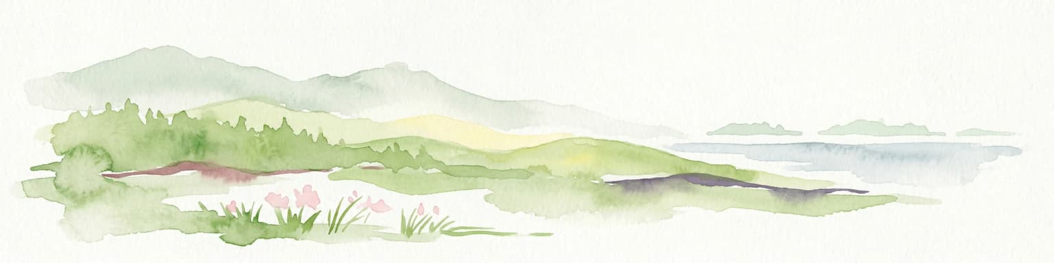
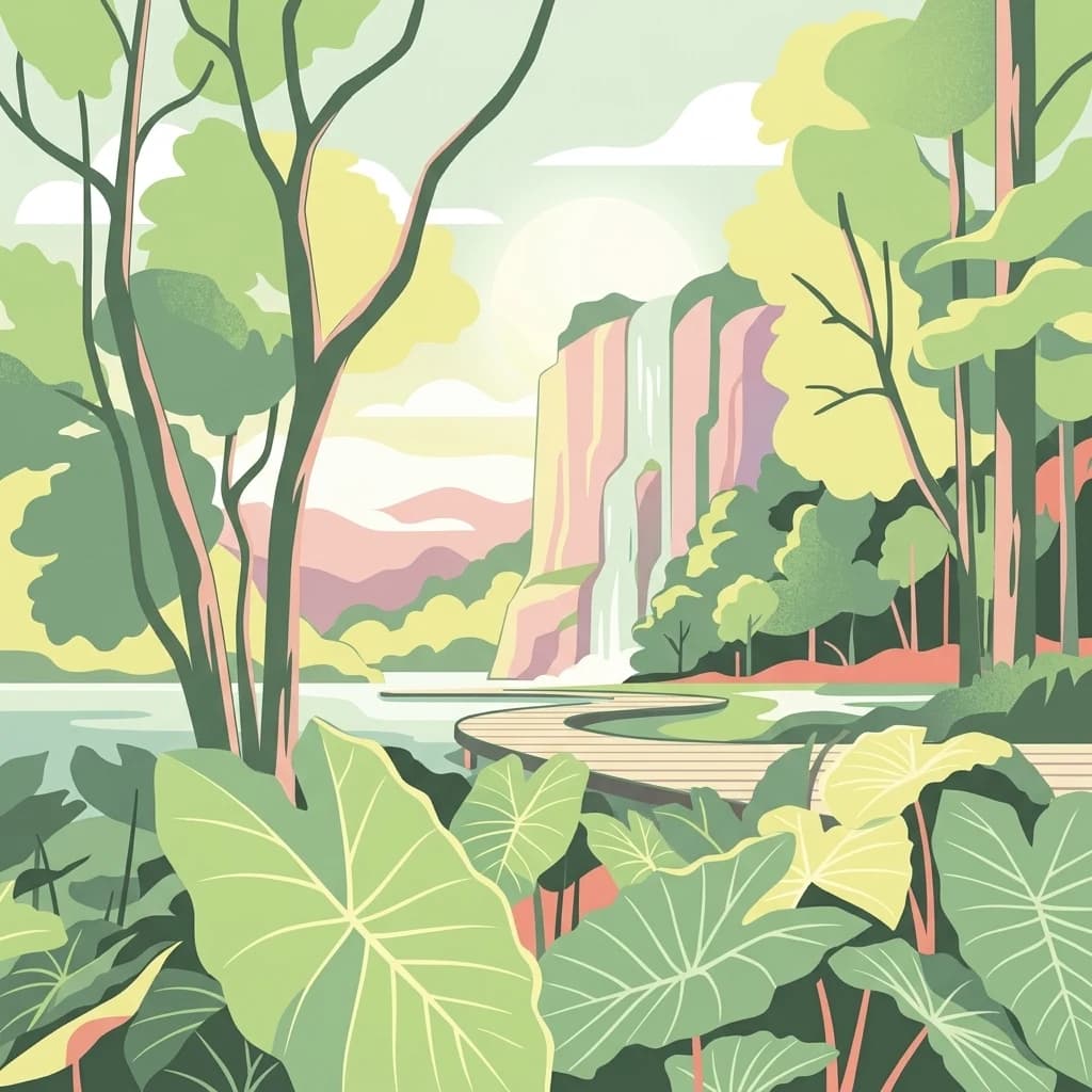
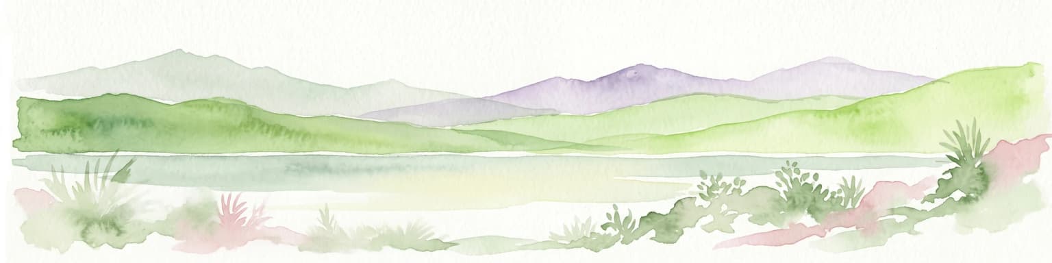
Doi Inthanon National Park, the crown jewel of Thailand's northern highlands, represents an unparalleled opportunity for geographic discovery. As the nation's highest mountain national park, it showcases exceptional vertical zonation of ecosystems, from tropical deciduous forests to rare cloud forests and sphagnum peat bogs. This protected landscape in Chom Thong District is vital for watershed protection and offers critical insights into Thailand's montane biodiversity, making its mapped boundaries and terrain essential for atlas-based exploration.

Area
482 km²
Established
1972
IUCN
II
National parkThailand

Mu Ko Surin National Park: Mapped Marine Protected Area in Thailand's Andaman Sea

Explore unique island geography and vibrant coral reef landscapes.

Mu Ko Surin National Park is a national park comprising a series of islands within Thailand's Andaman Sea, recognized for its exceptional marine biodiversity and well-preserved coral reefs. This protected area showcases a distinctive landscape where dense tropical forests meet extensive underwater ecosystems, offering a prime example of coastal natural geography. Understanding Mu Ko Surin National Park through its mapped boundaries and ecological significance provides valuable insight into Thailand's protected natural heritage and its role in regional conservation.

IUCN
II
Scope
Marine
National parkThailand

Mu Ko Similan National Park: Thailand's Andaman Sea Marine National Park and Archipelago Geography

Mapped island terrain, coral reef atlas, and marine protected landscape identity.

Mu Ko Similan National Park is a significant protected area in Thailand, renowned for its island archipelago geography in the Andaman Sea. The park features striking granite boulder formations above sea level and incredibly rich coral reef ecosystems below, making it a key location for marine atlas exploration. Users can discover the mapped park boundaries, the unique natural terrain of the Similan Islands, and the vital role of this protected landscape in regional marine conservation efforts, offering a detailed geographic perspective.

Area
140 km²
Established
1982
IUCN
II
Visitors
912K annual
National parkMae Hong Son Province

Huai Nam Dang National Park: Northern Thailand's Mountainous Protected Landscape

Explore mapped terrain and protected area boundaries in Mae Hong Son Province.

Huai Nam Dang National Park offers a detailed look into Thailand's mountainous north, featuring rugged terrain characterized by steep slopes and deep valleys. This protected area, a key national park within Mae Hong Son Province, provides a valuable case study for understanding regional geography and landscape context. Its elevation ranges from low-lying valleys to the Doi Chang summit, contributing to its significance as a watershed and natural wilderness.

Area
1,252 km²
Established
1995
IUCN
II
National parkLoei Province

Phu Kradueng National Park: Sandstone Mesa Protected Landscape and Geographic Atlas

Discover mapped boundaries and pine savanna terrain.

Phu Kradueng National Park, situated in Loei Province, Thailand, is a remarkable protected area defined by its large sandstone mesa and striking cliff-edged summit plateau. This page offers detailed geographic insights into the park's unique landscape, including its pine savanna ecosystems, diverse forest types transitioning from lower slopes to the summit, and its cool, refreshing climate. Explore Phu Kradueng National Park's mapped boundaries and natural terrain for a deeper understanding of this significant conservation landscape.

Area
348 km²
Established
1962
IUCN
II
National parkChumphon Province

Mu Ko Chumphon National Park: Mapped Archipelago and Marine Protected Landscape

Explore island geography and tropical rainforests in Chumphon Province.

Mu Ko Chumphon National Park offers a deep dive into an island archipelago landscape located in Chumphon Province. This protected area is characterized by numerous islands featuring tropical rainforests atop hilly terrain that slopes down to white-sand beaches and clear gulf waters. Examine the mapped extent of its protected marine environment and the diverse ecosystems supporting coral reefs and unique swiftlet nesting sites, providing a rich geographic context for atlas exploration.

Area
317 km²
Established
1999
IUCN
II
National parkPhuket Province

Sirinat National Park: Phuket Province Protected Coastal Landscape and Marine Atlas

Mapped boundaries, beach forests, and sea turtle nesting sites.

Sirinat National Park offers a unique opportunity to explore a protected coastal geography on Phuket Island. This national park preserves critical beach forest ecosystems, extensive shorelines like Hat Mai Khao, vital sea turtle nesting grounds, and surrounding marine environments including coral reefs and mangrove habitats. Its designation as a protected area provides essential context for understanding the natural landscape and its ecological significance within Thailand's regional geography.

Area
90 km²
Established
1981
IUCN
II
National parkSatun Province

Thale Ban National Park: Mapped Protected Landscape and Unique Wetland Ecosystem in Satun Province

Explore karst and granite mountains, natural lake geography, and diverse biodiversity.

Thale Ban National Park offers a fascinating study in protected landscape geography, centered around a rare natural lake formed by geological damming. This national park in Satun Province, Thailand, showcases a striking contrast between ancient limestone karst formations and younger granite mountains, contributing to its unique biodiversity and ecosystems. Its position near the Malaysian border highlights its role in regional conservation, making it a key site for understanding mapped terrain and protected natural areas.

Area
196 km²
Established
1980
IUCN
II
National parkRayong Province

Khao Laem Ya, Mu Ko Samet National Park: Marine National Park and Protected Island Geography

Coastal terrain and archipelago mapped within Rayong Province.

Delve into Khao Laem Ya, Mu Ko Samet National Park, a significant marine protected area located in Rayong Province, Thailand. This atlas entry highlights the park's archipelago of islands, including Ko Samet, its mainland coastal features like Khao Laem Ya, and the surrounding Gulf of Thailand waters. Understand the park's role in coastal conservation, its mapped marine environments, and its unique blend of terrestrial and aquatic protected landscapes for geographic discovery.

Area
131 km²
Established
1981
IUCN
II
Visitors
1.6M annual
National parkLamphun Province

Doi Khun Tan National Park: Protected Mountain Landscape and Forest Terrain in Lamphun Province

Explore its mapped geography and the Khun Tan Tunnel.

Doi Khun Tan National Park is a protected mountain region in northern Thailand, recognized for its varied terrain and ecological significance. The park's geography includes steep slopes supporting distinct forest types, from lowland deciduous woodlands to upland evergreen forests, all contained within its clearly mapped boundaries. A prominent feature is the historic Khun Tan Tunnel, Thailand's longest railroad tunnel, highlighting the park's unique combination of natural landscapes and historical infrastructure. This national park offers a rich opportunity for atlas exploration of its protected area identity and regional geographic context within Lamphun Province.

Area
255 km²
Established
1975
IUCN
II
Visitors
12.7K annual
National parkSakon Nakhon Province

Phu Phan National Park: Thailand's Protected Mountain Landscape and Natural Atlas Entry

Explore dry dipterocarp forest and unique terrain in Sakon Nakhon.

Phu Phan National Park offers a detailed look into Thailand's northeastern geography, characterized by its mountainous terrain and extensive dry dipterocarp forests. As a national park, it represents a vital protected landscape within Sakon Nakhon Province, showcasing unique geological formations and providing a rich context for atlas-based exploration. Discover the park's mapped boundaries, its ecological significance, and the distinct natural features that define this prominent Isan region protected area.

Area
665 km²
Established
1972
IUCN
II
National parkPhitsanulok Province

Namtok Chat Trakan National Park: Protected Mountain Forests and River Headwaters in Phitsanulok Province

Discover mapped geography and unique protected landscape features.

Namtok Chat Trakan National Park protects over 543 square kilometers of mountainous dipterocarp forest within Phitsanulok Province, Thailand. Established in 1987, it is recognized for its role as a vital watershed area, safeguarding the headwaters of the Khwae Noi River system. The park's rugged terrain, dense forests, and prominent waterfalls, including the multi-tiered Chat Trakan cascade, provide a distinct geographic identity. Explore the mapped boundaries and natural landscape of this significant protected area.

Area
543 km²
Established
1987
IUCN
II
Landscape and environment

Understand how Thailand is shaped by terrain, ecosystems, and seasonal conditions

Thailand geography, nature, climate, and landscape context for park-focused travel research
Explore the physical geography, natural setting, and climate patterns of Thailand through a location-first overview built for travel research, national park discovery, and broader regional context. This section helps explain how landscapes, habitats, and environmental conditions shape what people search for, where they travel, and how they experience protected areas in Thailand.

Thailand geography and landscape

Thailand occupies mainland Southeast Asia with borders to Myanmar (west/northwest), Laos (east/northeast), Cambodia (southeast), and Malaysia (south). The country has coastline along the Gulf of Thailand to the southeast and the Andaman Sea to the southwest. The territory covers approximately 513,120 km².

Thailand nature and environment

Thailand features diverse ecosystems including tropical rainforests in the south and central regions, mountainous areas in the north, and coastal wetlands along the Gulf and Andaman coastlines. The country contains numerous national parks and protected areas preserving its biodiversity.

Thailand climate and seasonal conditions

Thailand has a tropical climate with three main seasons: hot season from March to May, rainy season from June to October, and cool season from November to February. The climate varies somewhat by region, with the south being more humid and the north experiencing cooler temperatures.

Explore this place

Related topics and popular queries

Ways to explore Thailand
Useful phrases, related topics, and discovery prompts connected to Thailand.
where is thailand locatedwhat is thailand known forthailand capital citythailand population and areathailand neighboring countriesthailand government typethailand countrykingdom of thailandsiam thailandthailand geographythailand southeast asiabangkok thailandthailand populationthailand area
Park map

Visualize the geographic distribution of Thailand's national parks, tracing their mapped locations and regional spread.

Thailand National Parks Map: Pinpointing Protected Areas and Their Geography
Browse the geographic placement of Thailand's national parks and other protected areas, identifying their locations across the mainland and coastal regions. The comprehensive country map provides essential geographic context for understanding park distribution, offering a valuable atlas view for detailed exploration.

Explore Thailand's Protected Landscapes, Mapped Geography, and Key Regional Park Distribution

Frequently Asked Questions About National Parks in Thailand: Park Geography and Protected Areas
Explore common questions about national parks and protected areas across Thailand, from coastal reserves to mountain landscapes, to understand their diverse geography and conservation contexts. Gain insights into the distribution of Thailand's significant protected areas, helping you trace regional park clusters and discover their distinct characteristics within mainland Southeast Asia.
Other countries

Trace the regional spread of protected landscapes and compare national park geographies surrounding Thailand.

National Parks and Protected Areas: Explore More Countries Beyond Thailand
Expand your protected area exploration beyond Thailand by browsing national parks and diverse conservation landscapes in neighboring countries. Comparing these country-level geographies provides essential context for understanding regional park distribution and varied ecological protection.

Explore Vietnam's National Parks and Protected Landscapes on the Atlas

Access a structured view of Vietnam's national parks and protected areas, providing essential geographic context for each mapped region. This atlas resource details the distribution of protected lands across the country, from the northern highlands to the Mekong Delta, highlighting their significance within Vietnam's natural terrain and broader Southeast Asian geography. Understand the scope of conservation efforts through detailed landscape maps.

18 parks

Cambodia National Parks and Protected Areas: Browse Mapped Landscapes and Geography

Investigate the national parks and protected areas within Cambodia, offering a detailed look at their mapped boundaries and regional geographic settings. This resource facilitates an atlas-style understanding of conservation landscapes, from tropical forests to mountainous terrains, within the Kingdom of Cambodia and the wider Southeast Asian context.

13 parks

Malaysia National Parks and Protected Areas: Mapped Landscapes & Geographic Discovery

MoriAtlas provides a structured geographic overview of Malaysia's national parks and protected areas. Navigate the country's diverse natural landscapes, from marine protected areas to terrestrial parks, gaining insight into their distribution and mapped boundaries. This atlas-style explorer is designed for understanding regional geography and the scope of conservation efforts within Malaysia.

7 parks

Bhutan's National Parks and Protected Areas: Mapped Geographic Overview

Bhutan's commitment to conservation is reflected in its network of national parks and protected areas, nestled within the dramatic Himalayan geography. This destination offers an atlas-style view of these significant natural landscapes, highlighting their geographic distribution and mapped boundaries. Users can navigate this structured data to understand the regional context of protected lands across the Kingdom of Bhutan.

6 parks

Explore Protected Natural Landscapes of Bangladesh: National Parks and Reserves

Navigate the geography of Bangladesh through its network of national parks and protected areas. This resource provides a structured approach to understanding the distribution of conservation landscapes, their mapped boundaries, and the regional context of their natural terrain. Discover the unique geographic features that define Bangladesh's protected lands, from the Sundarbans mangroves to the Chittagong Hill Tracts, offering a foundation for detailed exploration.

4 parks

Singapore National Parks and Protected Areas: Geographic Discovery and Map Exploration

Navigate Singapore's protected natural areas through a structured geographic lens. MoriAtlas offers tools to explore the mapped boundaries and regional distribution of the country's national parks and conservation landscapes. Understand how these protected areas contribute to the natural terrain and geographic diversity of this unique island city-state, providing a comprehensive atlas-like view for discovery.

3 parks

Brunei's National Parks and Protected Areas: Geographic Atlas and Map Exploration

As a gateway to Brunei's natural heritage, this geography-focused atlas provides an overview of the nation's protected areas. Explore the mapped boundaries and geographic spread of national parks and other conservation lands situated on Borneo. Understand the regional context and the natural terrain that defines these vital protected landscapes for structured discovery.

3 parks

Myanmar National Parks and Protected Areas: Browse Mapped Landscapes and Regional Geography

This section provides a structured atlas view of Myanmar's national parks and protected lands. Users can explore the geographic distribution and mapped boundaries of these significant natural areas. Understand the regional context and landscape diversity across Myanmar, from mountain parks to conservation areas, facilitating a deeper geographic discovery.

2 parks
MoriAtlas Explorer

Continue Your Global Geographic Exploration with MoriAtlas Park Discovery

Dive deeper into the world's protected landscapes and national parks through MoriAtlas's structured atlas interface. Discover how continents and countries are organized, and how individual park geography fits into the broader map. Our platform is built for understanding the distribution and context of protected areas worldwide, facilitating your journey through global natural geography.

Global natural geography