Mori Atlas logo
Country parks

Discover the mapped distribution and varied protected landscapes across Azerbaijan's national parks.

Azerbaijan National Parks and Protected Areas: A Comprehensive Geographic Browse

Access a structured atlas for browsing Azerbaijan's national parks and protected areas. This resource details the geographic spread and unique natural landscapes found within the country's designated conservation zones, offering a clear view of their regional distribution. Understand where these vital protected lands are located and begin exploring the diverse geography of Azerbaijan.

Azerbaijan National Parks and Protected Areas: A Comprehensive Geographic Browse

Explore Azerbaijan's diverse protected landscapes, nature reserves, and conservation zones across its varied geography.

National Parks and Protected Areas in Azerbaijan: Browse the Full Country List

Browse the comprehensive atlas of national parks, nature reserves, and significant protected areas spanning Azerbaijan's distinct geographic regions. This curated listing offers an in-depth view of the country's conservation landscapes, enabling users to trace park distribution from the Caspian Sea shores to the Caucasus mountains.

Showing 1 to 16 of 16 parks

Watercolor illustration of mountains, a body of water, and green vegetation
National parkLankaran RayonMountain

Hirkan National Park

Explore mapped boundaries and unique regional geography.

Hirkan National Park stands as a significant protected area in Azerbaijan, renowned for its extensive old-growth Hyrcanian forests. This national park offers a unique window into ancient temperate rainforest ecosystems, featuring remarkable vertical forest zonation and a high concentration of endemic species within the Talysh Mountains and Lankaran Lowland. Its designation as part of the UNESCO World Heritage Hyrcanian Forests underscores its global importance for conservation and atlas-based geographic exploration of unique, relic landscapes.

403.58 km²2004SubtropicalModerate access
Watercolor painting of a green mountain with a winding path through rolling hills
National parkAzerbaijanMountain

Shahdag National Park

Explore the Greater Caucasus protected area and its unique ecosystems.

Shahdag National Park is the largest protected area in Azerbaijan, encompassing a significant portion of the Greater Caucasus mountain range. This national park is renowned for its dramatic elevation changes, creating diverse ecosystems that transition from dense, old-growth montane forests to high-alpine meadows and rugged, rocky summits. The park's landscape is defined by its towering peaks, including Mount Bazardüzü, the nation's highest point, and provides critical habitat for endemic species like the East Caucasian tur. Use this page to begin your atlas-based exploration of Shahdag National Park's protected geography and its distinctive natural terrain.

1,305.08 km²2006IIMinor water
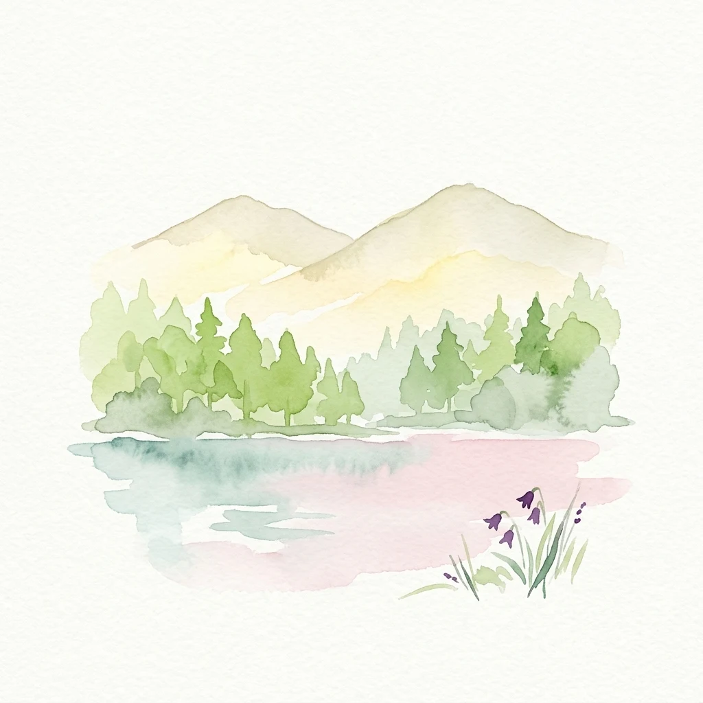
Watercolor illustration of a lake with mountains in the background, surrounded by green trees and purple flowers
National parkAzerbaijanMountain

Göygöl National Park

Explore Azerbaijan's most visited national park and its rich geographic context.

Göygöl National Park is a key protected area in Azerbaijan, renowned for the crystal-clear alpine Lake Göygöl and its surrounding dense forests within the Lesser Caucasus mountains. This national park showcases over 420 plant species, significant wildlife populations, and dramatic mountainous terrain, making it a prime destination for understanding regional landscape diversity and protected land value. Use MoriAtlas to explore its mapped boundaries and connect it to the broader geographic context of Azerbaijan.

127.55 km²2008TemperateII
Watercolor illustration showing green hills and blue mountains against a yellow sky
National parkOrdubad DistrictMountain

Zangezur National Park

Explore dramatic glacial terrain and the highest Lesser Caucasus peaks.

Zangezur National Park encompasses a significant portion of the Zangezur mountain range, presenting a striking high-altitude protected landscape within Ordubad District, Azerbaijan. Its geography is characterized by rugged alpine features, extensive glacial formations, and dramatic elevation changes culminating in the Gemiqaya summit. This park serves as a vital refuge for diverse ecosystems and is distinguished by its role in preserving the highest mountain terrain in Azerbaijan's Lesser Caucasus, offering a unique focal point for geographic and protected-area exploration.

427.97 km²2003TemperateHighly restricted
National parkAzerbaijan

Shirvan National Park

Discover the mapped landscape, gazelle habitats, and wetland geography.

Shirvan National Park, located in Azerbaijan's Shirvan Lowland, safeguards a remarkable semi-desert environment situated on a former Caspian Sea floor. This protected area is distinguished by its low-lying terrain, ancient coastal ridges, and dune formations, providing essential habitat for the world's largest concentration of goitered gazelles. Wetlands around Çala Lake also support significant migratory bird populations, making Shirvan a crucial protected landscape for both terrestrial and avian wildlife and a key site for regional geographic study.

543.735 km²2003AridII
Watercolor illustration of a mountainous landscape featuring green hills, a blue lake, and a winding river under a soft sky
National parkBakuMarine

Absheron National Park

Explore mapped geography and semi-desert terrain near Baku.

Absheron National Park, located near Baku on the Absheron Peninsula, is a significant national park safeguarding coastal Caspian Sea environments. Its protected landscapes feature semi-arid terrain and are vital for the conservation of Caspian seals and migratory waterbirds. MoriAtlas provides a structured overview of this unique protected area, focusing on its geographic features, ecological importance, and its role as a key national park within Azerbaijan's atlas of natural reserves.

7.83 km²2005AridModerate access
National parkAzerbaijanMountain

Altyaghach National Park

Explore the mapped boundaries and temperate deciduous forests.

Altyaghach National Park is a key protected area in Azerbaijan, safeguarding a significant portion of the Greater Caucasus's temperate deciduous broadleaved forest ecosystems. Covering over 11,000 hectares, the park is instrumental in preserving biodiversity and restoring natural habitats, notably providing refuge for the rare East Caucasian tur and other protected species. Its landscape, characterized by rolling to steep terrain and diverse forest cover reaching approximately 941 meters in elevation, makes it a representative example of Caucasus mountain conservation within the country.

110.35 km²2004TemperateAccess unknown
National parkKhachmaz Rayon

Samur-Yalama National Park

Mapped protected landscape in Azerbaijan's Khachmaz Rayon.

Delve into the protected geography of Samur-Yalama National Park, a key national park established in 2012 within Azerbaijan's Khachmaz Rayon. This 11,772-hectare area meticulously preserves vital Caspian coastal forest ecosystems, characterized by dominant chestnut oak and Persian ironwood stands. The park’s diverse terrain ranges from littoral zones to inland steppe, offering significant insights into regional landscape context and protected area management for atlas exploration and geographic analysis.

117.72 km²2012IIMinor water
National parkAzerbaijan

Ag-Gel National Park

Azerbaijan Protected Wetland & Bird Sanctuary

Ag-Gel National Park is a protected wetland significant for migratory birds. Its landscape features a complex lake system and extensive reed beds, making it a vital conservation area in the Caspian region.

179.24 km²2003AridAccess unknown
Nature reserveZangilan DistrictMountain

Basut-Chay State Reserve

1.07 km²1974SubtropicalAccess unknown
Nature reserveAzerbaijanMountain

Gara-Gel State Reserve

2.4 km²1987AlpineRemote access
Nature reserveLankaran DistrictMarine

Ghizil-Agaj State Reserve

884 km²1929SubtropicalWater-dominated
Nature reserveAzerbaijan

Gobustan State Reserve

5.372 km²1966AridEasy access
Nature reserveAzerbaijan

Shirvan State Reserve

62.32 km²1969TemperateModerate access
Nature reserveAgdash DistrictMountain

Turian-Chay State Reserve

225 km²1958SubtropicalMinor water
Other countries

Expand your atlas exploration of diverse protected landscapes across neighboring and related country geographies.

Explore National Parks and Protected Areas in Other Countries Beyond Azerbaijan

After exploring Azerbaijan's national parks, extend your geographic understanding by browsing protected areas across many other countries within the MoriAtlas. This comprehensive country-level view offers a broader context for comparing diverse conservation landscapes and planning further park discovery worldwide.

Ukraine National Parks and Protected Areas: Browse Mapped Landscapes

MoriAtlas facilitates a detailed geographic exploration of Ukraine's national parks and protected areas. This destination provides a structured overview of the country's conservation landscapes, allowing users to visually grasp their distribution and regional context. Understand the breadth of Ukraine's natural heritage through an atlas lens, supporting discovery of its unique geography and protected territories.

48 parks

Cyprus National Parks and Protected Areas: Mapped Landscapes Explorer

Navigate Cyprus's protected areas through a detailed geographic lens. This MoriAtlas entry provides structured data on national parks and conservation landscapes, highlighting their mapped boundaries and regional context. Understand the island's natural terrain and explore its protected land distribution, serving as a crucial atlas entry point for geographic discovery within Cyprus.

45 parks

Explore Protected Landscapes: National Parks and Protected Areas of Turkey

Delve into the geography of Turkey with this atlas-style exploration of its national parks and protected areas. Understand the distribution of these significant natural landscapes, view their mapped boundaries, and appreciate the diverse terrain they encompass. This resource offers a structured way to navigate and discover the breadth of protected lands across Turkey, providing essential context for regional geography and conservation efforts.

43 parks

Israel National Parks and Protected Areas: Geographic Discovery and Atlas Navigation

Navigate Israel's protected natural areas with a detailed geographic atlas. This resource highlights the distribution of national parks and conservation landscapes, providing insight into their placement within the country's diverse natural terrain. Understand the geographic context of protected lands and use structured data to explore the breadth of Israel's park system and its regional significance.

37 parks

Iran National Parks and Protected Areas: Mapped Landscapes and Geographic Discovery

Access a structured atlas for discovering Iran's national parks and protected areas. This geographic resource details the locations and mapped boundaries of conservation landscapes, providing essential context for understanding the country's natural terrain and regional park distribution. Investigate the spread of protected areas and their significance within the broader geography of Iran.

9 parks

Uzbekistan National Parks and Protected Areas: Geographic Atlas Explorer

Delve into the structured geographic exploration of Uzbekistan's protected areas and national parks. This resource provides a map-aware view of conservation landscapes, detailing their distribution and regional context. Understand the placement of protected lands across the country, offering insights into Central Asia's natural terrain and park geography through a dedicated atlas interface.

2 parks

Qatar's National Parks and Protected Landscapes: A Geographic Overview

Uncover the geographic scope of Qatar's protected areas and national parks. This atlas serves as a detailed entry point for understanding the mapped distribution and natural landscape features across the nation, offering insights into regional conservation efforts and the peninsula's unique geography.

2 parks

Moldova National Parks and Protected Areas: Mapped Geographic Context and Distribution

MoriAtlas provides a comprehensive atlas view of Moldova's protected areas and national parks. Delve into the geographic structure, understand the distribution of natural reserves, and examine the landscape context for each protected region within the country. This resource enables detailed map-based discovery and a structured understanding of Moldova's natural heritage.

1 park

Protected area types

Continue Exploring Azerbaijan's Park Designations and Protected Landscapes

Deepen your understanding of Azerbaijan's natural landscape by continuing to explore its specific park designations. Access detailed information on national parks and other protected area types to comprehend their geographic context and conservation significance. This pathway allows for a more granular discovery of how Azerbaijan classifies and preserves its unique natural heritage, offering valuable insights for any atlas or geography exploration.

Azerbaijan Park Designations
MoriAtlas Explorer

Continue Exploring Azerbaijan's Protected Natural Landscapes via Search

Deepen your understanding of Azerbaijan's protected areas by utilizing the full country park search functionality. Compare the mapped geography and environmental attributes of national parks and conservation lands across the nation. This route is designed for focused discovery, helping you identify and investigate specific protected regions that align with your interests in Azerbaijan's natural geography.

Global natural geography