Mori Atlas logo
Nature reserveBasut-Chay State Reserve

A strict nature reserve protecting riverine floodplain forest in the Lesser Caucasus mountains

Basut-Chay State Reserve: Examining the Ancient Oriental Plane Tree Forest Geography

Basut-Chay State Reserve serves as a vital protected landscape within the Zangilan District of Azerbaijan. Spanning the Basut-Chay river valley in the southeastern Lesser Caucasus, this strict nature reserve preserves a rare, ancient floodplain forest corridor. The site contains a dense concentration of Oriental plane trees, forming a unique mountain valley ecosystem that offers critical insight into the regional natural history of the Caucasus range.

strict nature reserveIUCN Category Iariver valleyLesser Caucasusmountain forestancient trees

Basut-Chay State Reserve

Nature reserve

Park overview

Structured park overview, official facts, and landscape profile for Basut-Chay State Reserve

Basut-Chay State Reserve park facts, protected area profile, and essential visitor context

Review the core facts for Basut-Chay State Reserve, including designation, size, terrain, visitor scale, habitats, and operating context in one park-focused overview.

About Basut-Chay State Reserve

Basut-Chay State Reserve is one of the smallest state nature reserves in Azerbaijan, yet it carries an exceptional botanical burden: safeguarding the country's most significant surviving Oriental plane tree forest. Created in 1974 by decision of the Council of Ministers of the Azerbaijan SSR, the reserve was designed as a strict, non-intervention refuge for a tree species that had already retreated from most of its historical range.

Geographically, the reserve occupies a narrow band of mountain valley in Zangilan district, in the far southwestern corner of Azerbaijan near the Armenian border. The Basut-Chay River cuts through the southeastern slopes of the Lesser Caucasus here, and its floodplain supports a thin but ecologically rich ribbon of broadleaf forest. The reserve tracks the river for about 15 kilometers at elevations between 600 and 800 meters, forming a corridor that continues, on the other side of the international border, into Armenia's Shikahogh Reserve, where a similar forest community is also protected.

Ecologically, the defining feature is the dominance of the Oriental plane tree. Plane trees cover more than 93 percent of the reserve, accompanied by a smaller component of oak, Caucasian hornbeam, juniper, walnut, mulberry, willow, poplar, and various shrubs such as hawthorn, dog rose, and blackthorn. Average tree age is reported at around 165 to 170 years, and the site contains individuals believed to be 1,200 to 1,500 years old with trunks up to 4 meters in diameter and heights reaching roughly 50 meters. Together, these characteristics make the reserve a globally important reference site for ancient Platanus orientalis stands, and an anchor for conservation of a Red Data Book species in Azerbaijan.

Quick facts and research context for Basut-Chay State Reserve

Basut-Chay State Reserve is a strict nature reserve of international botanic importance located in Zangilan district of southwestern Azerbaijan. It lies within the southeastern portion of the Lesser Caucasus mountains, along the valley of the Basut-Chay River, and covers approximately 107 hectares, of which about 100 hectares are forested. Elevation ranges from roughly 600 to 800 meters above sea level, and the reserve extends approximately 15 kilometers along the river valley in a band 150 to 200 meters wide.

The reserve was established in 1974 specifically to protect the Oriental plane tree (Platanus orientalis), a species that has declined sharply across the Caucasus. The Oriental plane tree is listed in Azerbaijan's Red Data Book. The site's name comes from the Basut-Chay River, whose own name is believed to derive from a Mongol-origin Beysut tribe. The reserve sits in a border zone adjacent to Armenia, and the protected forest continues upstream into the Shikahogh Reserve on the Armenian side.

Protection and recognition

Terrestrial conservation scope and documented protected area framework

Basut-Chay State Reserve Protection Status and Designation Records

Basut-Chay State Reserve maintains a defined terrestrial protection scope with structured administrative records detailing its official conservation framework. Review the documented protected area status and international recognition criteria compiled for this natural reserve.

Protection details

Protection scope
Terrestrial
Transboundary protection
No
Park context

Deeper park guide and search-rich context for Basut-Chay State Reserve

Basut-Chay State Reserve history, landscape, wildlife, and travel context

Explore Basut-Chay State Reserve through its history, landscape character, ecosystems, wildlife, conservation priorities, cultural context, and seasonal travel timing in a structured park guide built for atlas discovery and search intent.

Why Basut-Chay State Reserve stands out

Basut-Chay is best known for protecting what is widely considered the world's largest remaining grove of the Oriental plane tree (Platanus orientalis), an ancient floodplain forest species. The trees dominate the landscape to the extent that they form 93.5 percent of the reserve's vegetation, with mature individuals averaging well over 150 years in age and rare veteran specimens reaching extraordinary dimensions. The grove's ecological and cultural significance is heightened by the fact that the Oriental plane was once widespread across Azerbaijan and the broader Caucasus but is now restricted to scattered fragments. By conserving a continuous, undisturbed riverine stand of these trees, including specimens thought to be more than a millennium old, the reserve holds a unique representation of a forest type that has largely disappeared from the region.

Basut-Chay State Reserve history and protected-area timeline

The Oriental plane tree was once widely distributed across the territory of Azerbaijan, including the southeastern parts of the Lesser Caucasus. Over time, this range contracted dramatically, leaving the species confined to scattered remnant patches. By the early twentieth century the Basut-Chay valley still held significant plane forests, but these were being reduced by logging and unregulated use.

The first formal protection step came in February 1961, when the plane groves on Zangilan forestry lands were designated a conservation zone under the Main Department of Forestry of the Council of Ministers. Because this lighter protection regime proved insufficient to safeguard the groves, a stricter dedicated reserve was established on 4 July 1974 by decision of the Azerbaijan SSR Council of Ministers, originally covering 117 hectares. In October 1980 the reserve's area was adjusted slightly downward, to 107 hectares, of which 100 hectares are forested and the remainder consists of rock slides and Basut-Chay floodplain sands.

The reserve's name derives from the Basut-Chay River, itself believed to come from the name of the Beysut, a tribe of Mongol origin associated with the area. Since 1993, the territory has been affected by regional conflict and occupation, a period during which the ancient plane trees have reportedly been compromised by uncontrolled exploitation. The reserve is administered under the oversight of Azerbaijan's Ministry of Ecology and Natural Resources and remains classified as a strict nature reserve.

Basut-Chay State Reserve landscape and geographic character

The reserve occupies an asymmetrical river valley typical of the southeastern Lesser Caucasus. The right side of the Basut-Chay valley rises steeply into mountainous terrain, while the left side is comparatively gentle, set on a hilly plateau at absolute heights of 700 to 1,000 meters. The valley floor itself lies between 600 and 800 meters above sea level and carries a narrow strip of alluvial deposits.

Tributary streams of the Basut-Chay have deeply dissected the surrounding slopes, producing a rugged topography of ravines, terraces, and rocky outcrops. Brown mountain-forest soils dominate the slopes, while alluvial meadow-forest soils cover the river terraces where plane trees thrive. The overall impression is of a small but intensely textured mountain valley, where the steepness of the right bank contrasts with the gentler plateau on the left to create a compact ecological gradient within a very limited area.

Basut-Chay State Reserve ecosystems, habitats, and plant life

Vegetation in the reserve is overwhelmingly shaped by Oriental plane trees, which form both pure stands and mixed groves along the Basut-Chay and its tributary Shikhauzchay. The mixture includes oak, Caucasian hornbeam, juniper, walnut, mulberry, willow, and poplar in the tree layer, with an understory of hawthorn, dog rose, privet-like murdacha, and blackthorn, plus wild fruit-bearing shrubs. Ground layer herbs give the stands their character as a "diverse-herb plane forest" type, the principal forest formation of the reserve.

Despite the continental climate of the region, with hot summers and relatively mild winters, broadleaf cover remains intact thanks to the moderating effect of the river valley. Annual precipitation exceeds 600 millimeters, concentrated in spring and early summer, and the valley supports both productive alluvial soils and stony substrates that still allow the plane trees to grow. The Oriental plane is notably tolerant of poor soils, drought, heat, and frost, and within the reserve it produces its most vigorous growth on deeper, fertile alluvial ground, making the small floodplain disproportionately valuable for the species' regional survival.

Basut-Chay State Reserve cultural meaning and human context

The Basut-Chay valley carries a cultural layer rooted in its name, which is generally traced to the Beysut, a tribe of Mongol origin historically associated with the region. This etymological connection situates the reserve within a broader regional history of Turkic and Mongol-influenced place names across the southern Caucasus. The ancient plane trees themselves have long been part of local life, used for timber and household purposes, a relationship that has at times placed heavy pressure on the grove and contributed to the rationale for strict protection. The area's position in a historically contested borderland has also shaped its modern significance, as the forest is treated by both Azerbaijan and Armenia as a shared natural heritage, mirrored in the Shikahogh Reserve across the border.

Top sights and standout views in Basut-Chay State Reserve

Basut-Chay State Reserve is the smallest state nature reserve in Azerbaijan, yet it concentrates an outsized share of the country's ancient Oriental plane tree forest, with ancient trees estimated to be over a thousand years old. It lies in the southeastern Lesser Caucasus along a 15-kilometer stretch of the Basut-Chay River, forming a continuous forest corridor with the neighboring Shikahogh Reserve in Armenia. The Oriental plane trees, listed in Azerbaijan's Red Data Book, grow on shallow stony soils as well as richer alluvial ground, demonstrating the species' remarkable adaptability. The reserve's Category Ia strict nature reserve status means its primary role is preservation rather than active management, allowing a rare uninterrupted view of a Caucasian floodplain forest that has largely vanished elsewhere.

Best time to visit Basut-Chay State Reserve

The reserve has a moderately warm climate with hot summers and mild winters, and annual precipitation exceeds 600 millimeters, most of which falls in spring and early summer. Spring and early summer are likely to bring the lushest forest conditions, with active vegetation growth and the river valley at its most vibrant, though this is also when precipitation peaks. Autumn offers cooler temperatures and stable weather and would suit visitors seeking to experience the forest in calmer conditions. The region's hot summers and occasional winter frosts and snow cover mean shoulder seasons are generally preferable for comfortable exploration.

Monthly climate preview

Long-term representative point measurements of monthly temperature and precipitation rhythms

Basut-Chay State Reserve Climate Normals and Annual Temperature Range

Representative coordinate records show average monthly temperatures moving from sub-zero winter minimums to warm summer maximums alongside measured precipitation rates. Reviewing these long-term climate normals provides essential baseline context for the protected area without relying on live weather or forecasts.
Annual mean12 °C
0 °C23 °C
Jan
Feb
Mar
Apr11°
May17°
Jun21°
Jul23°
Aug23°
Sep19°
Oct13°
Nov
Dec
Warmest month
July

23.3 °C

Coolest month
January

0.4 °C

Wettest month
May

1.2 mm/day

Driest month
August

0.2 mm/day

Park location guide

Geography guide, regional context, and park location map for Basut-Chay State Reserve

Basut-Chay State Reserve park geography, regions, and map view in Azerbaijan

Understand where Basut-Chay State Reserve sits in Azerbaijan through a broader geographic reading of the surrounding landscape, nearby location context, and its mapped position within the national park landscape.

How Basut-Chay State Reserve fits into Azerbaijan

Azerbaijan is a unitary semi-presidential republic and one of six independent Turkic states. It declared independence from the Soviet Union in 1991 after nearly seven decades of Soviet rule. The country occupies 86,600 km² and has a population of approximately 10.3 million. It is known for its strategic location at the crossroads of Europe and Asia, its oil industry heritage, and its diverse cultural influences from Persian, Russian, and Turkic traditions.

Wider geography shaping Basut-Chay State Reserve in Azerbaijan

Azerbaijan occupies the eastern portion of the Caucasus region, situated between the Caspian Sea to the east and the Greater Caucasus mountains to the north. The terrain is diverse, featuring lowlands along the Caspian coast, mountainous areas in the north and west, and semi-desert plains in the central regions. The Kura and Aras rivers are major waterways draining into the Caspian Sea.

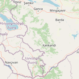
Map view of Basut-Chay State Reserve

Use this park location map to pinpoint Basut-Chay State Reserve in Azerbaijan, understand its exact geographic position, and read its mapped placement within the surrounding landscape more clearly.

Pigeon | © OpenStreetMap contributors

Location context for Basut-Chay State Reserve

Zangilan District
Park atlas

Compare regional mountain terrain and connected conservation landscapes

Explore Other Parks and Protected Areas Near Basut-Chay State Reserve

Continue browsing protected areas and river valley reserves located throughout the surrounding Lesser Caucasus region. Extending the geographic comparison reveals broader ecological patterns across neighboring mountain habitats and forest reserves.
Nature reserveSyunik Province
About 14 km away#1 closest

West

Shikahogh State Reserve: Geographic Mapping and Protected Forest Territory Analysis

Exploring the mountain terrain and biodiversity of Syunik Province

Shikahogh State Reserve serves as a strictly protected forest sanctuary in southern Armenia, characterized by its complex vertical relief and transition between Caucasian forest and arid landscape elements. The reserve spans the upper basins of the Tsav and Shikahogh rivers, featuring a dense canopy and unique habitat for varied mountain fauna. This geographic overview highlights the reserve as a central feature of the Zangezur mountain ecology.

Area
103.3 km²
Established
1958
IUCN
Ia
Relief
Mountain
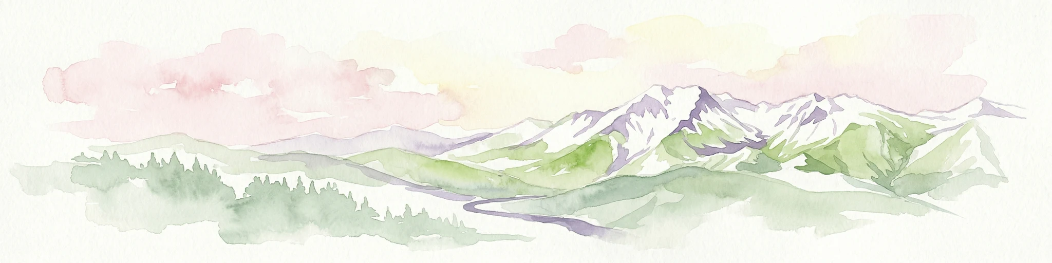
Watercolor illustration showing mountains, green forests, and a winding river under a soft pink sky.
National parkSyunik Province
About 29 km away#2 closest

West

Arevik National Park: Syunik Province's Protected Mountain Landscape and Biodiversity Atlas

Explore mapped boundaries, terrain, and ecosystems.

Arevik National Park offers a detailed look into the geography and protected landscape of Armenia's Syunik Province. This park is defined by the rugged Zangezur mountains and its remarkable vertical ecological zoning, transitioning from semi-desert to alpine environments. Examine its mapped terrain, significant butterfly and bird habitats, and the presence of key mammal species, providing a comprehensive atlas-style understanding of this protected area's natural identity.

Area
344 km²
Established
2009
IUCN
II
Relief
Mountain
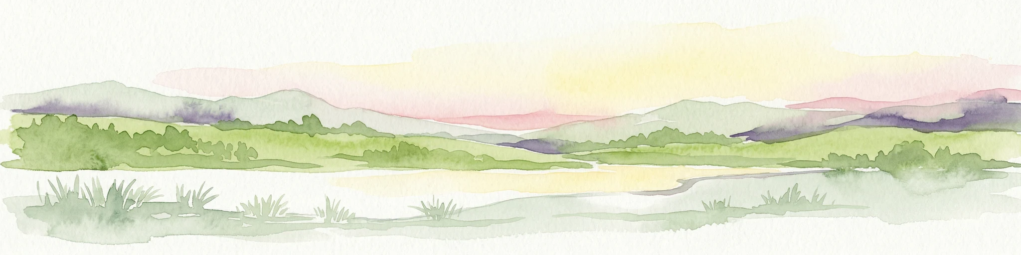
Watercolor illustration of a mountainous landscape with green fields, a river, and a sunset sky
National parkOrdubad District
About 60 km away#3 closest

West

Zangezur National Park: National Park and Protected Mountain Wilderness in Ordubad District

Explore dramatic glacial terrain and the highest Lesser Caucasus peaks.

Zangezur National Park encompasses a significant portion of the Zangezur mountain range, presenting a striking high-altitude protected landscape within Ordubad District, Azerbaijan. Its geography is characterized by rugged alpine features, extensive glacial formations, and dramatic elevation changes culminating in the Gemiqaya summit. This park serves as a vital refuge for diverse ecosystems and is distinguished by its role in preserving the highest mountain terrain in Azerbaijan's Lesser Caucasus, offering a unique focal point for geographic and protected-area exploration.

Area
427.97 km²
Established
2003
IUCN
II
Relief
Mountain
Nature reserveAzerbaijan
About 97 km away#4 closest

Northwest

Gara-Gel State Reserve: Mapping the Protected Volcanic Landscapes of Azerbaijan

High-altitude nature reserve with glacial and volcanic crater geography.

Gara-Gel State Reserve represents a concentrated protected area built around Lake Ishigli-Gara-Gel. Situated at nearly 2,700 meters, this site showcases the convergence of volcanic geology and mountain botany. The landscape features meadows and steep slopes that define the character of this protected highland basin, offering significant insight into the transitional ecosystems found within the broader Karabakh plateau.

Area
2.4 km²
Established
1987
Relief
Mountain
Climate
Alpine
National parkAzerbaijan
About 139 km away#5 closest

Northeast

Ag-Gel National Park

Azerbaijan Protected Wetland & Bird Sanctuary

Ag-Gel National Park is a protected wetland significant for migratory birds. Its landscape features a complex lake system and extensive reed beds, making it a vital conservation area in the Caspian region.

Area
179.24 km²
Established
2003
IUCN
II
Relief
Lowland
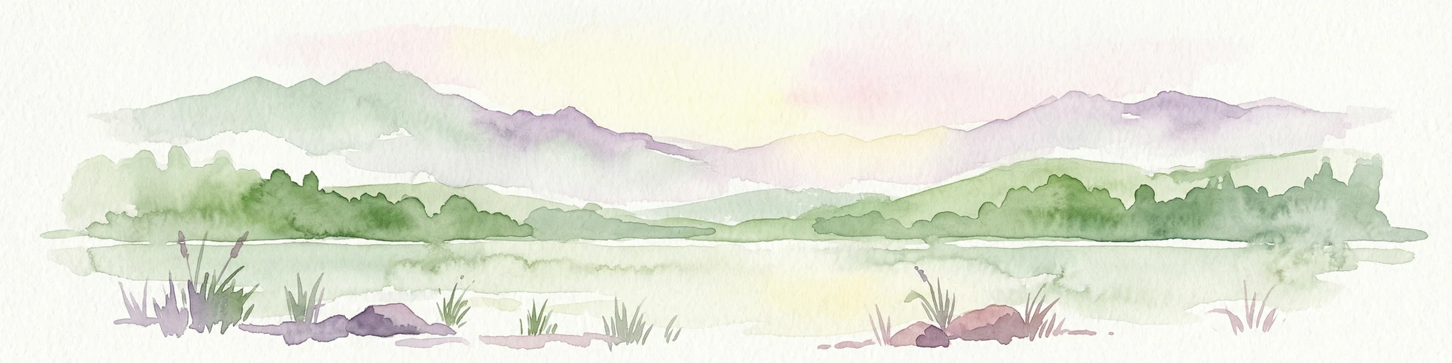
Watercolor illustration of a lake surrounded by greenery with mountains in the background
National parkAzerbaijan
About 152 km away#6 closest

North

Göygöl National Park: Iconic Alpine Lakes and Protected Caucasus Forest Landscape

Explore Azerbaijan's most visited national park and its rich geographic context.

Göygöl National Park is a key protected area in Azerbaijan, renowned for the crystal-clear alpine Lake Göygöl and its surrounding dense forests within the Lesser Caucasus mountains. This national park showcases over 420 plant species, significant wildlife populations, and dramatic mountainous terrain, making it a prime destination for understanding regional landscape diversity and protected land value. Use MoriAtlas to explore its mapped boundaries and connect it to the broader geographic context of Azerbaijan.

Area
127.55 km²
Established
2008
IUCN
II
Relief
Mountain
National parkGegharkunik Province
About 152 km away#7 closest

Northwest

Sevan National Park: High-Altitude Lake and Protected Landscape in Gegharkunik

Explore map context, park boundaries, and regional geography.

Sevan National Park is a vital protected area located in Armenia's Gegharkunik Province, primarily safeguarding the remarkable high-altitude Lake Sevan. Established to protect this significant freshwater ecosystem, the park encompasses diverse surrounding landscapes including wetlands, forests, and steppes. Users exploring this canonical park detail page can delve into its geographic setting within the Armenian highlands, understand its importance as a protected landscape, and access structured data relevant to its unique natural environment. This MoriAtlas entry offers a focused lens on the park's conservation status and its contribution to regional geography.

Area
342 km²
Established
1978
IUCN
II
Relief
Highland
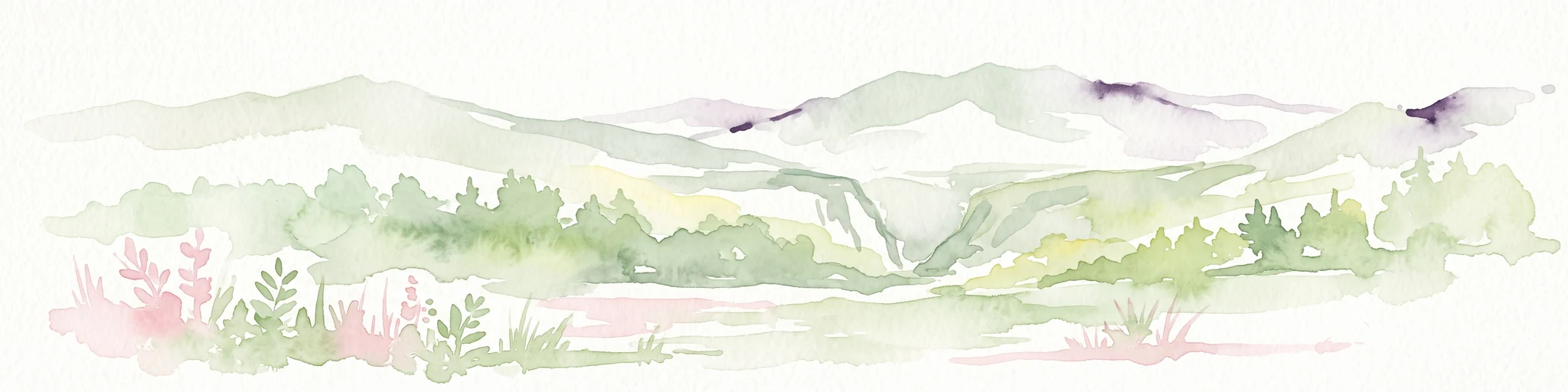
A horizontal watercolor painting depicting rolling green hills, distant mountains, and sparse vegetation.
Nature reserveArarat Province
About 171 km away#8 closest

Northwest

Khosrov Forest State Reserve: Mapping Armenia's Historic Nature Reserve and Mountain Geography

Explore ancient juniper forests and rugged canyon terrain in Ararat Province.

Khosrov Forest State Reserve is a critical protected landscape in Armenia defined by its remarkable elevational gradient. From semi-desert lowlands to high mountain meadows, the reserve encompasses unique Tertiary relict forests and river-cut gorges. This resource maps the park's boundaries and provides a clear geographic overview of its diverse ecosystems and cultural heritage within the Ararat Province.

Area
232.13 km²
Established
1958
IUCN
Ia
Relief
Mountain

Common questions about visiting, size, designation, and location context for Basut-Chay State Reserve

Basut-Chay State Reserve FAQs for park facts, access, geography, and protected area context

Find quick answers about Basut-Chay State Reserve, including protected-area facts, park geography, trail and visitor context, and how the park fits into its surrounding country and regional landscape.
MoriAtlas Explorer

Continue Your Protected Areas Search Across the Global Atlas

Deepen your exploration by continuing the structured search for national parks and protected areas worldwide. Utilize the comprehensive filtering capabilities to compare different conservation landscapes and refine your understanding of global park geography. Discover more about the distribution and characteristics of protected natural areas.

Global natural geography