Mori Atlas logo
Countries

Discover mapped protected lands and natural landscapes across the Pyrenean principality.

Andorra National Parks and Protected Areas: A Geographic Atlas Exploration

MoriAtlas provides a structured geographic gateway to Andorra's protected natural areas. Explore the distribution of national parks and conservation landscapes across this Pyrenean microstate, understanding their mapped boundaries and regional context. Use Andorra as an atlas entry point to navigate its diverse mountain terrain and discover the nation's designated natural regions.

Andorra National Parks and Protected Areas: A Geographic Atlas Exploration
Park system

Exploring the Andorra Park System and High-Altitude Protected Areas

Charting scale, age, designation types, and alpine habitats across Pyrenean reserves

Alpine conservation seekers can evaluate Pyrenean reserves by analyzing key metrics compiled from known Andorra park records. Comparing data points like median size, designation mix, and alpine climate zones helps clarify regional environmental protection patterns.

Known protected area

57.9 km²

Area data available for 2 of 2 parks.

Median park size

29 km²

Median across 2 parks with known area.

Oldest known park

Established in 2003.

Largest known park

Recorded area: 42.5 km².

Designation distribution

Protected area2

Habitat distribution

Alpine meadow1
Glacial habitat1
Montane forest1
Riverine habitat1

Climate distribution

Alpine2
About

Discover the mapped landscapes and protected territory of Andorra within the Pyrenees

Andorra National Parks and Protected Areas: A Geographic Atlas Overview

Explore Andorra as a distinct entry point in the MoriAtlas park atlas, focusing on its national parks and protected landscapes. This small Pyrenean country offers a unique geographic context for understanding conservation areas within the eastern Pyrenees. Navigate Andorra's protected terrain and gain insights into its regional park distribution from this structured atlas view.

Andorra is a small landlocked country in the eastern Pyrenees mountains between France and Spain. Founded in 1278 under a charter linking it to the Diocese of Urgell, it operates as a co-principality with two co-princes: the Bishop of Urgell in Spain and the President of France. With a population of around 89,000 and an area of roughly 468 km², it is one of Europe's smallest nations. Catalan is the official language, though Spanish, Portuguese, and French are widely spoken. The economy relies heavily on tourism and duty-free shopping.

Andorra is a sovereign microstate and one of the smallest countries in Europe. Located in the eastern Pyrenees mountains, it occupies a strategic position between France and Spain. The nation operates under a unique political system as a co-principality, with joint sovereignty held by the Bishop of Urgell (representing the Catholic Church) and the President of France. This unusual governance structure dates back to the 1278 Paréage agreement. Andorra is not a member of the European Union but participates in the United Nations and Council of Europe. The country has experienced significant economic development driven by tourism, banking, and its status as a tax haven.

Largest city:Andorra la Vella
Currency code:EUR
ISO code:AD
Parks count
2
Capital
Andorra la Vella
Area
467.63 km²
Population
89,058 (2,025)
Elevation
1,023 m

Coastal
Island
Mountainous
Landlocked
Park atlas2 parks

Discover Andorra's Mapped Geography and Protected Landscapes

National Parks and Protected Areas in Andorra: An Atlas Explorer

Explore the diverse protected areas and national parks situated within Andorra, a unique microstate in the Pyrenees. This atlas view provides a structured geography-first approach to discovering conservation landscapes, offering clear navigation to individual park details and regional context. Understand the distribution and scope of protected terrain across the Principality of Andorra through this curated explorer.
Watercolor painting of a river winding through a valley with green fields, trees, and distant hills
Protected area

Parc Natural Comunal de les Valls del Comapedrosa: Andorra's Highest Protected Alpine Landscape

Explore the Pyrenean terrain and mapped boundaries of Andorra's summit park.

Parc Natural Comunal de les Valls del Comapedrosa is the primary high-altitude protected area in Andorra, defined by its rugged alpine terrain and the presence of Coma Pedrosa, the country's highest peak. This protected landscape offers a significant geographic anchor for exploring the Pyrenees, highlighting the unique mountain conservation efforts. Its mapped boundaries encompass dramatic valleys and steep ridges, providing a clear context for understanding Andorra's mountainous geography through a structured atlas lens.

Area
15.43 km²
Established
2003
IUCN
IV
Relief
Mountain
Protected areaAndorra

Madriu-Perafita-Claror Valley

Area
42.47 km²
Established
2004
Relief
Mountain
Climate
Alpine
Landscape and environment

Understand how Andorra is shaped by terrain, ecosystems, and seasonal conditions

Andorra geography, nature, climate, and landscape context for park-focused travel research

Explore the physical geography, natural setting, and climate patterns of Andorra through a location-first overview built for travel research, national park discovery, and broader regional context. This section helps explain how landscapes, habitats, and environmental conditions shape what people search for, where they travel, and how they experience protected areas in Andorra.

Andorra geography and landscape

Andorra is situated in the eastern Pyrenees mountains, occupying a valley environment surrounded by peaks and ridges. It is entirely landlocked, bordered by France to the north and Spain to the south. The terrain is predominantly mountainous with valleys and gorges. The country sits at high elevation, with its capital Andorra la Vella at approximately 1,023 meters above sea level—making it the highest capital city in Europe. The Pyrenees form a natural barrier and define the country's mountainous character.

Andorra nature and environment

Andorra's mountainous landscape features alpine environments, forests, and protected natural areas. The Pyrenees mountains support diverse ecosystems and outdoor recreation. While specific wildlife details are minimal in the source, the mountainous terrain and high elevation support typical alpine biodiversity.

Andorra climate and seasonal conditions

Andorra experiences a mountain climate with cool temperatures year-round. The high elevation contributes to cooler conditions compared to surrounding lowlands. Seasonal variations include snowy winters suitable for skiing and milder summers.

Explore this place

Related topics and popular queries

Ways to explore Andorra

Useful phrases, related topics, and discovery prompts connected to Andorra.
where is andorra locatedandorra country factsandorra capital city elevationwhat language is spoken in andorraandorra population and areaandorra border france spainandorra tourism statisticsprincipality of andorra governmentandorra countryprincipality of andorraandorra pyreneesandorra locationeuropean microstateandorra tourismandorra capitalandorra governmentandorra languageandorra currency
Park map

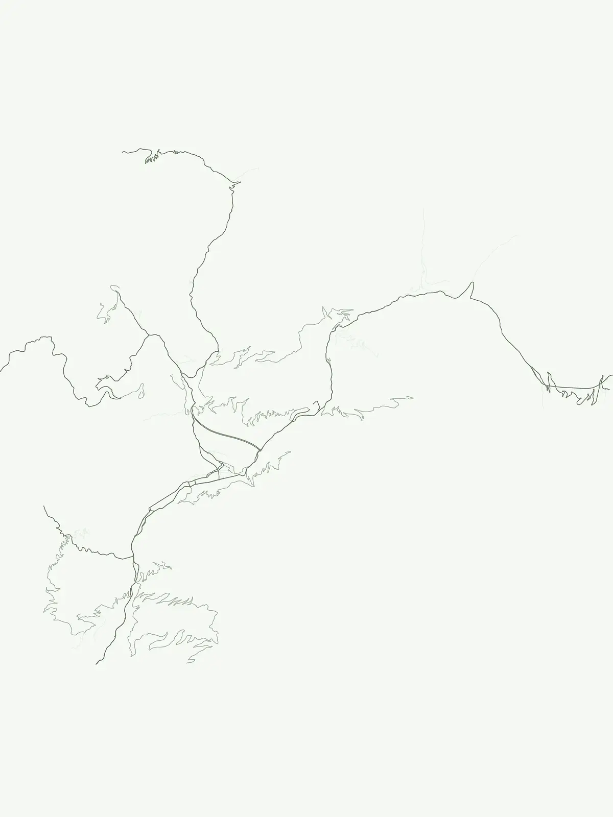
Gain geographic context for Andorra's national parks, visualizing their distribution across the Pyrenean landscape.

Andorra National Parks Map: Explore the Geographic Distribution of Protected Areas in the Pyrenees

Preview the map of Andorra to visualize where national parks and protected areas are geographically situated within this Pyrenean microstate. This country-specific atlas view offers essential spatial context, enabling structured discovery of Andorra's conservation landscapes and their regional positioning.

Explore Andorra's Mountain Protected Landscapes and Park Geography Through Key FAQs

Common Questions About National Parks and Protected Areas in Andorra's Pyrenean Landscape

Uncover essential information about Andorra's national parks and diverse protected areas within its rugged Pyrenees mountains. These frequently asked questions provide fundamental geographic context for understanding the distribution, characteristics, and conservation efforts across the country's unique high-altitude landscapes.
Other countries

Explore the geographic context of national parks and protected landscapes across countries adjacent to Andorra.

Explore National Parks and Protected Areas: Countries Near Andorra in the MoriAtlas

Explore national parks and protected areas across countries that share geographic proximity with Andorra, offering a comprehensive regional view of European conservation landscapes. This country-level index allows for structured geographic discovery, enabling users to compare park systems and understand conservation efforts across diverse national territories.

France National Parks and Protected Areas: Mapped Geographic Exploration

Navigate France's protected natural areas and national parks with our structured atlas. This resource highlights the geographic distribution of conservation landscapes, enabling users to visually explore park boundaries and understand the country's regional geography. It serves as a foundational tool for discovering the mapped natural terrain and protected lands within France.

282 parks

Switzerland National Parks and Protected Areas: A Geographic Atlas Exploration

Delve into the structured geography of Switzerland's protected natural areas. This atlas-style exploration highlights the distribution of national parks and other protected lands, offering insights into their mapped boundaries and regional context within the Swiss landscape. Understand the geographic scope of conservation efforts across the country's diverse terrain.

42 parks

Spain's National Parks and Protected Areas: A Comprehensive Geographic Atlas

Delve into the protected natural heritage of Spain through a structured atlas approach. MoriAtlas details the geographic distribution and mapped boundaries of national parks and conservation areas. Understand the regional context and landscape features that define Spain's commitment to preserving its natural terrain, offering a unique perspective for geographic discovery.

38 parks

Portugal National Parks and Protected Areas: A Geographic Atlas Explorer

MoriAtlas offers a structured view of national parks and protected areas within Portugal. This atlas-style exploration allows you to browse the geographic distribution of these natural landscapes, understand their regional context, and access detailed mapping information. Discover the breadth of Portugal's protected lands and their unique terrain.

12 parks

Luxembourg National Parks and Protected Areas: A Geographic Atlas Overview

Navigate the diverse protected natural areas of Luxembourg through a structured geographic lens. This atlas entry point allows for detailed exploration of park boundaries and the distribution of protected landscapes across the country. Understand the regional geography and conservation context of Luxembourg's natural heritage.

12 parks

Palau

7 parks

Liechtenstein Protected Areas: An Atlas of National Parks and Landscapes

Delve into the structured geography of Liechtenstein's protected natural areas. This atlas entry point allows for exploration of national parks and conservation landscapes, highlighting their mapped boundaries and regional context within the country. Understand the unique geographic distribution of protected lands in this Alpine microstate through detailed, factual data.

2 parks

Monaco National Parks and Protected Areas: Geographic Atlas Navigation

Access a comprehensive atlas view of national parks and protected areas within Monaco. This resource details the geographic distribution of conservation sites, offering insights into landscape context and park boundaries across the principality. Navigate protected natural areas with structured data for effective geographic exploration.

1 park

Protected area types

Continue Exploring Andorra's Protected Area Designations and Landscape

Deepen your understanding of Andorra's natural geography by continuing to explore its specific protected area designations. This pathway offers a structured way to uncover the characteristics and distribution of each represented classification, providing valuable insights into the principality's commitment to conservation. Engage with detailed geographic and classification data to build a comprehensive atlas of Andorra's protected lands.

Andorra Protected Area Designations
MoriAtlas Explorer

Continue Your Global Geographic Exploration with MoriAtlas Park Discovery

Dive deeper into the world's protected landscapes and national parks through MoriAtlas's structured atlas interface. Discover how continents and countries are organized, and how individual park geography fits into the broader map. Our platform is built for understanding the distribution and context of protected areas worldwide, facilitating your journey through global natural geography.

Global natural geography