National park

Peneda-Gerês National Park: A Distinct Protected Landscape in Northern Portugal
Granite peaks, glacial valleys, and cultural heritage mapped.
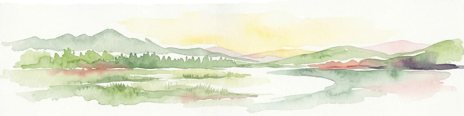
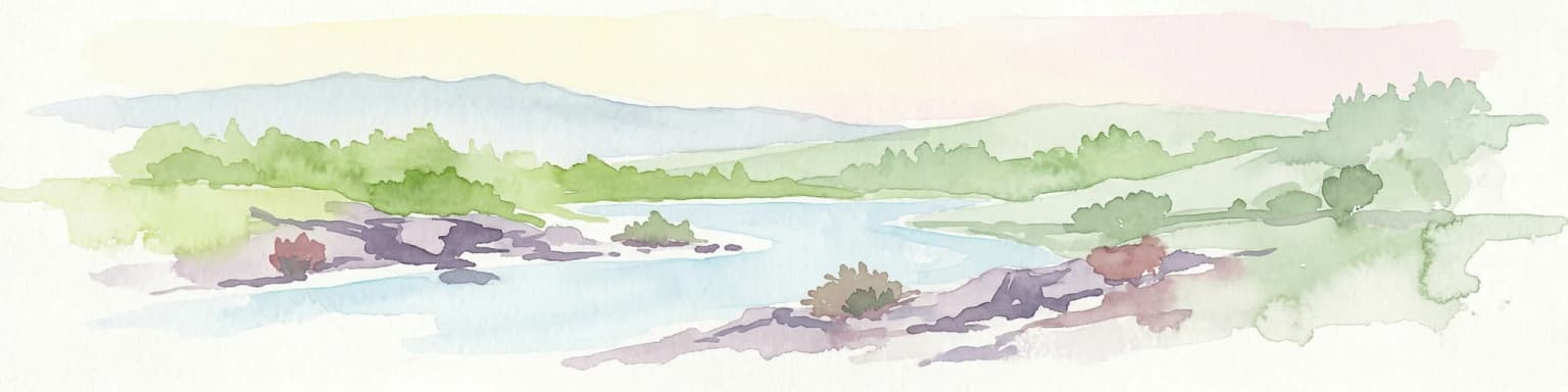
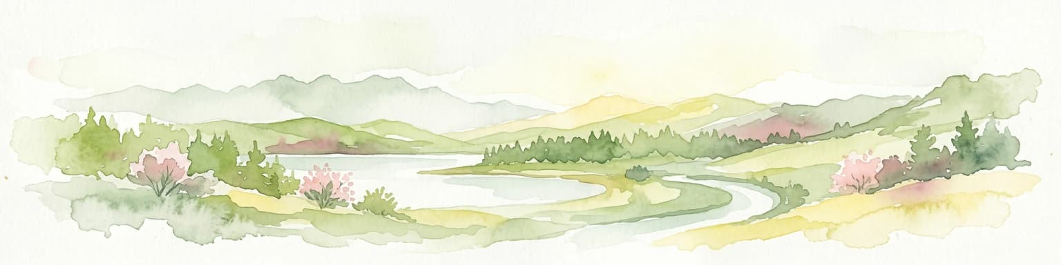
Peneda-Gerês National Park represents a cornerstone of protected landscapes in Portugal, celebrated for its rugged granite mountains and deep glacial valleys sculpted over millennia. This national park showcases a rare ecological transition zone with unique endemic species and features dramatic waterfalls and pristine river systems. The park's rich cultural tapestry, interwoven with its natural environment, offers a compelling subject for atlas-based geographic discovery and landscape exploration.
- Area
- 695.93 km²
- Established
- 1971
- IUCN
- II
- Visitors
- 92.8K annual