Mori Atlas logo
Countries

Discover the mapped distribution and landscape context of protected natural areas across Morocco.

Morocco National Parks and Protected Areas: A Geographic Atlas Explorer

Embark on a geographic exploration of Morocco, a North African country offering diverse protected natural landscapes. This atlas entry point allows you to navigate national parks and other protected areas, understanding their regional distribution and unique geographic settings from the Mediterranean coast to the Atlantic shores. Discover the mapped boundaries and landscape context of Morocco's natural heritage.

Related tags

north africamaghrebmediterranean countryatlantic coastconstitutional monarchy
About

Map Morocco's diverse protected landscapes, from Mediterranean shores to the Atlantic coast.

Morocco National Parks and Protected Areas: A Geographic Atlas for Conservation
Browse the comprehensive list of national parks and protected areas across Morocco, spanning its Mediterranean coastline, Rif Mountains, and Atlantic coastal wilderness. This country overview serves as an essential entry point to understand the regional distribution of conservation landscapes and explore detailed park facts.

Morocco is a North African country bordering the Mediterranean Sea to the north and Atlantic Ocean to the west. It borders Algeria to the east and the disputed Western Sahara territory to the south. The country operates as a parliamentary constitutional monarchy under King Mohammed VI, with Arabic and Tamazight as official languages. Morocco has a population of approximately 37 million and covers an area of about 446,550 km².

Morocco is a country in the Maghreb region of North Africa with coastlines on both the Mediterranean Sea and Atlantic Ocean. It operates as a unitary parliamentary semi-constitutional monarchy with the king holding significant executive power. The country has been inhabited since the Paleolithic era and experienced various dynasties, reaching its peak as a regional power in the 11th and 12th centuries under the Almoravid and Almohad dynasties. Modern Morocco gained independence from French protectorate status in 1956. The population follows predominantly Sunni Islam, with Arabic and Berber (Tamazight) as official languages and French widely spoken.

Largest city:Casablanca
Currency code:MAD
ISO code:MA
Parks count
4
Capital
Rabat
Area
446,550 km²
Population
36,828,330 (2,024)

Coastal
Island
Mountainous
Landlocked
Park atlas4 parks

Browse Morocco's diverse protected landscapes, from Mediterranean coastlines to Atlantic coastal wetlands, through a detailed geographic overview.

Discover National Parks in Morocco: An Atlas of North African Protected Areas
Explore national parks and protected areas across Morocco, showcasing the country's varied terrain, from the Rif mountains to its Atlantic and Mediterranean coastal zones. This comprehensive atlas view helps users trace the geographic distribution of Morocco's conservation landscapes and discover specific park entities for deeper exploration.
National parkMorocco

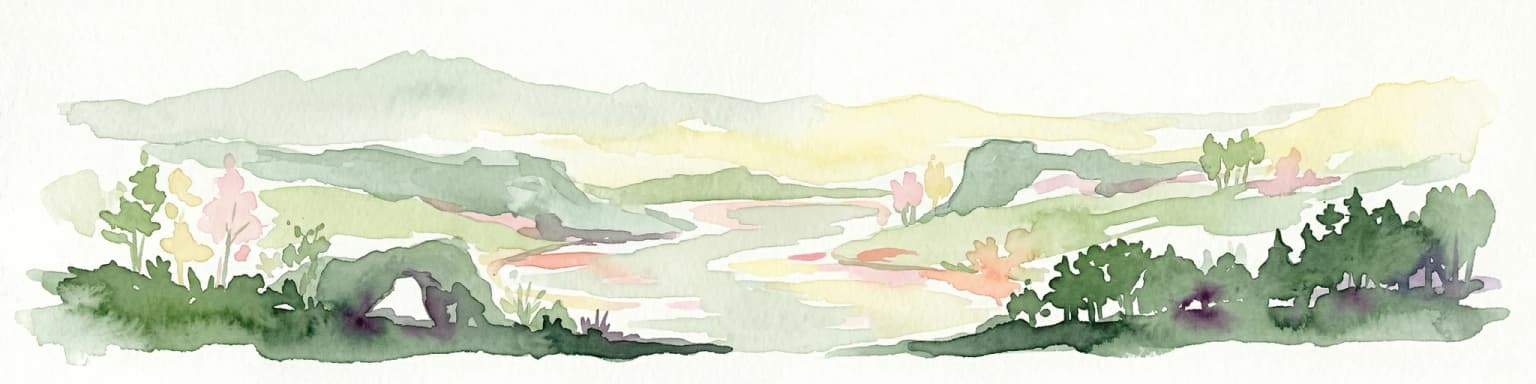
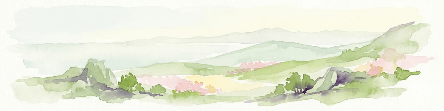
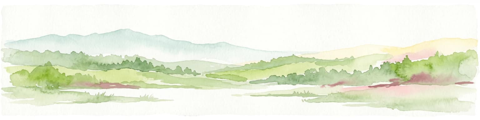
Souss-Massa National Park: Moroccan Coastal Protected Landscape and Geographic Map

Explore vital protected areas and mapped natural terrain on the Atlantic coast.

Souss-Massa National Park is a critical national park situated along the Atlantic coast of Morocco. This protected landscape offers a unique atlas-style view of its diverse geography, including vital wetlands, sand dunes, and coastal steppe. Delve into the mapped boundaries and understand the park's ecological significance within Morocco's regional landscape context.

Area
338 km²
Established
1991
IUCN
II
Relief
Lowland
National parkMorocco

Talassemtane National Park: Morocco's Premier Protected Landscape and Geographic Atlas Entry

Explore its mapped boundaries and natural terrain.

Talassemtane National Park is a vital protected area contributing to the geographic diversity of Morocco. This entry focuses on its identity as a national park, detailing its mapped boundaries and providing context within the broader atlas of protected lands. Discover the specific geographic and landscape characteristics that define this Moroccan national park, offering a unique lens for regional exploration.

Area
589.5 km²
Established
2004
IUCN
II
Relief
Mountain
National parkMorocco

Al Hoceima National Park: Morocco's Coastal and Marine Protected Wilderness

Explore dramatic cliffs, kelp forests, and marine biodiversity.

Al Hoceima National Park represents a significant protected coastal and marine area in northern Morocco, distinguished by its rugged 50-kilometer Mediterranean coastline featuring spectacular limestone cliffs. This national park offers an atlas-style view of a landscape transitioning from the Ibaqouyen Rif mountains to the sea, harboring rich marine biodiversity including significant osprey colonies and dolphin habitats. Discover the mapped extent of this wild protected territory and its unique ecological features.

Area
480 km²
Established
2004
IUCN
II
Relief
Mountain
Protected areaMorocco

Merja Zerga Protected Area: Moroccan Coastal Wetland Map and Geography

Explore the protected landscape and regional context of Merja Zerga.

Merja Zerga is a designated protected area situated on Morocco's Atlantic coast, characterized by its important wetland ecosystems. This entry facilitates detailed atlas exploration, providing users with mapped geographic data and insights into the park's protected boundaries. Understanding Merja Zerga offers valuable context for the distribution of protected lands and natural landscapes within the broader North African region.

IUCN
VI
Landscape and environment

Understand how Morocco is shaped by terrain, ecosystems, and seasonal conditions

Morocco geography, nature, climate, and landscape context for park-focused travel research
Explore the physical geography, natural setting, and climate patterns of Morocco through a location-first overview built for travel research, national park discovery, and broader regional context. This section helps explain how landscapes, habitats, and environmental conditions shape what people search for, where they travel, and how they experience protected areas in Morocco.

Morocco geography and landscape

Morocco occupies the northwestern corner of Africa, bordering the Mediterranean Sea to the north and Atlantic Ocean to the west. The country shares borders with Algeria to the east and the disputed Western Sahara territory to the south. The terrain is diverse, featuring the Atlas Mountains in the central and southern regions, Rif Mountains in the north, and plains along the coastal areas. The country also claims Spanish exclaves of Ceuta and Melilla.

Morocco nature and environment

Morocco's natural landscape features the Atlas and Rif mountain ranges, which create varied ecosystems from Mediterranean forests to alpine meadows. The country contains desert regions in the south and semi-arid plains in the east. The coastal areas support marine ecosystems along both the Mediterranean and Atlantic shores.

Morocco climate and seasonal conditions

Morocco experiences a Mediterranean climate in the northern coastal regions with mild, wet winters and warm, dry summers. The interior areas show continental patterns with greater temperature extremes, while the southern regions are more arid, transitioning into desert conditions.

Explore this place

Related topics and popular queries

Ways to explore Morocco
Useful phrases, related topics, and discovery prompts connected to Morocco.
morocco country informationwhere is morocco locatedmorocco capital city rabatmorocco population 2024morocco geography and climatemorocco official languagesmorocco border countriesmorocco travel guide factsmorocco countrynorth africa travelmaghreb regionmoroccan monarchyrabat capitalcasablanca largest citymorocco geographymorocco demographicsmediterranean moroccoatlantic coast morocco
Park map

Visualize the mapped geography of Morocco's protected areas, from the Atlantic coast to the Rif Mountains.

Morocco National Parks Map: Discover Protected Areas and Geographic Distribution
Explore the mapped distribution of Morocco's national parks and protected areas, identifying their locations across its diverse Mediterranean, Atlantic, and mountain landscapes. A dedicated country map offers a comprehensive geographic overview for tracing conservation landscapes, comparing regional park spreads, and exploring detailed protected area contexts.

Explore key insights on Morocco's diverse park geography, protected landscapes, and regional conservation efforts.

Frequently Asked Questions about National Parks and Protected Areas in Morocco
Gain valuable context for understanding Morocco's national parks and broader protected areas, from coastal zones to mountain ranges. These common questions address mapped park geography, conservation priorities, and the unique natural features found across the country's varied ecological regions, enhancing your atlas-style exploration.
Other countries

Explore the geographic distribution of national parks and protected areas in countries surrounding Morocco.

Discover National Parks in Other Countries Near Morocco and Across North Africa
Continue your geographic exploration of national parks and protected areas by examining other countries in the MoriAtlas. These country pages offer structured views of park lists, mapped terrain, and conservation landscapes, facilitating broader regional comparison beyond Morocco.

Spain's National Parks and Protected Areas: A Comprehensive Geographic Atlas

Delve into the protected natural heritage of Spain through a structured atlas approach. MoriAtlas details the geographic distribution and mapped boundaries of national parks and conservation areas. Understand the regional context and landscape features that define Spain's commitment to preserving its natural terrain, offering a unique perspective for geographic discovery.

23 parks

Portugal National Parks and Protected Areas: A Geographic Atlas Explorer

MoriAtlas offers a structured view of national parks and protected areas within Portugal. This atlas-style exploration allows you to browse the geographic distribution of these natural landscapes, understand their regional context, and access detailed mapping information. Discover the breadth of Portugal's protected lands and their unique terrain.

13 parks

France National Parks and Protected Areas: Mapped Geographic Exploration

Navigate France's protected natural areas and national parks with our structured atlas. This resource highlights the geographic distribution of conservation landscapes, enabling users to visually explore park boundaries and understand the country's regional geography. It serves as a foundational tool for discovering the mapped natural terrain and protected lands within France.

13 parks

Tunisia National Parks and Protected Areas Geography Explorer

Navigate Tunisia's protected natural areas and national parks through a comprehensive geographic lens. This atlas-style explorer helps you understand the distribution and context of conservation lands, from coastal regions to Saharan ecosystems, offering detailed map insights into each protected landscape.

6 parks

Algeria National Parks and Protected Areas: Mapped Geographic Explorer

Explore Algeria's extensive protected areas and national parks through a structured geographic lens. This atlas provides insight into the distribution of conservation lands, from the coastal Tell Atlas mountains to the expansive Sahara region. Understand the mapped context of Algeria's diverse natural landscapes and their regional significance for conservation and geographic study.

4 parks

Gambia National Parks and Protected Areas: Geographic Atlas and Map Explorer

Uncover the geographic distribution and natural landscape context of protected areas within Gambia. This atlas provides essential details for exploring national parks, wetland reserves, and other significant conservation territories, offering a structured view of the country's protected natural heritage and its relationship to the surrounding regional geography.

3 parks

Andorra's National Parks and Protected Landscapes: Atlas & Map Explorer

This entry provides a detailed geographic overview of national parks and protected natural areas within Andorra. Utilize MoriAtlas to visualize their distribution, understand the mapped boundaries, and explore the regional geography of this small but significant European nation. It serves as a key atlas resource for understanding Andorra's conservation landscapes.

1 park

Mali National Parks and Protected Areas: Browse Protected Landscapes and Geography

Navigate Mali's protected natural areas, from the Sudanian savanna to woodland ecosystems, using this comprehensive atlas view. Explore the geographic distribution and mapped boundaries of national parks and conservation lands across this West African nation. Gain structured insight into the country's natural terrain and its importance for regional geography and habitat protection.

1 park
MoriAtlas Explorer

Continue Your Global Geographic Exploration with MoriAtlas Park Discovery

Dive deeper into the world's protected landscapes and national parks through MoriAtlas's structured atlas interface. Discover how continents and countries are organized, and how individual park geography fits into the broader map. Our platform is built for understanding the distribution and context of protected areas worldwide, facilitating your journey through global natural geography.

Global natural geography