Mori Atlas logo
Protected landscapeNorthern Littoral Natural Park

Discover the mapped geographic context and protected area boundaries near Esposende.

Northern Littoral Natural Park: A Protected Landscape on Portugal's Northern Coast

(Parque Natural do Litoral Norte)

Northern Littoral Natural Park represents a significant protected landscape along the northern Atlantic coast of Portugal, near the city of Esposende. As a designated protected area, it offers critical insights into regional geography and mapped natural terrains. MoriAtlas provides a structured view of its protected boundaries, allowing for detailed atlas exploration and a deeper understanding of its place within the Iberian Peninsula's natural heritage.

Atlantic coastCoastal dunesEstuarine wetlandsBird migrationIUCN Category VNature park

Northern Littoral Natural Park

Protected landscape

Park overview

Structured park overview, official facts, and landscape profile for Northern Littoral Natural Park

Northern Littoral Natural Park park facts, protected area profile, and essential visitor context
Review the core facts for Northern Littoral Natural Park, including designation, size, terrain, visitor scale, habitats, and operating context in one park-focused overview.

About Northern Littoral Natural Park

Northern Littoral Natural Park protects a remarkable coastal ecosystem where the Atlantic Ocean meets the northern Portuguese mainland in a landscape of dunes, estuaries, and wetlands. The park's creation in 1987 reflected growing recognition that this stretch of coastline contained biological and landscape values of national significance that warranted formal protection. The park encompasses the marine and coastal zone extending from the mouth of the Cávado river eastward to the Neiva estuary, taking in the frontal dune systems, intertidal areas, and the river channels themselves. This coastal configuration creates a diverse habitat mosaic where freshwater, brackish, and marine environments intersect with terrestrial dune and grassland communities. The park lies within the municipality of Esposende, a coastal community where traditional land-use practices have shaped the landscape over centuries in ways that often complement rather than conflict with natural values. The protected area serves not only as a conservation reservoir but also as a living landscape where agricultural and fishing traditions continue alongside ecological stewardship.

Quick facts and research context for Northern Littoral Natural Park

The park occupies the Atlantic coastline and immediate hinterland around the municipality of Esposende in northern Portugal, roughly midway between the cities of Braga and Porto. Created on November 17, 1987 under the governance of ICNF (Instituto da Conservação da Natureza e das Florestas), the park holds IUCN Category V designation as a protected landscape and seascape. The protected area features one of the most significant dune systems in northern Iberia, with the estuarine environments of Cávado and Neiva providing essential habitat for both resident and migratory species. Approximately 240 plant species and 140 bird species have been recorded within the park's terrestrial zones, while the estuarine areas function as important feeding and resting grounds during migration cycles and winter months.

Park context

Deeper park guide and search-rich context for Northern Littoral Natural Park

Northern Littoral Natural Park history, landscape, wildlife, and travel context
Explore Northern Littoral Natural Park through its history, landscape character, ecosystems, wildlife, conservation priorities, cultural context, and seasonal travel timing in a structured park guide built for atlas discovery and search intent.

Why Northern Littoral Natural Park stands out

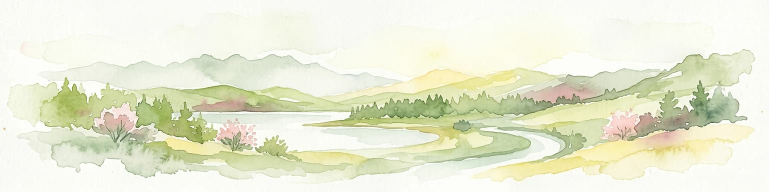
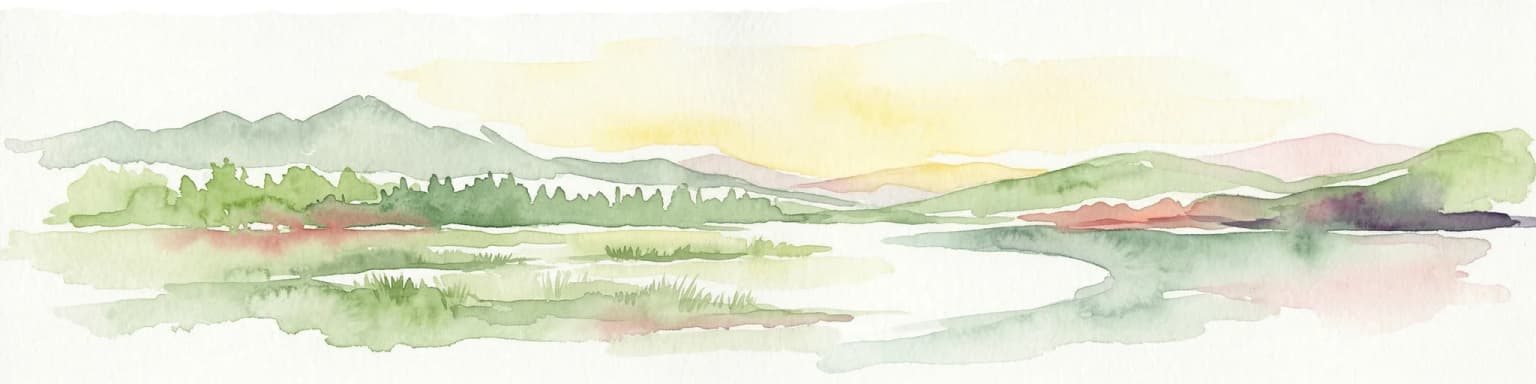
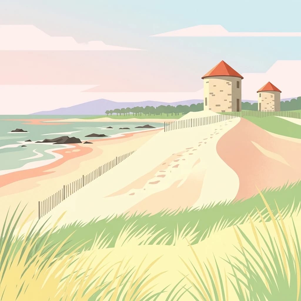
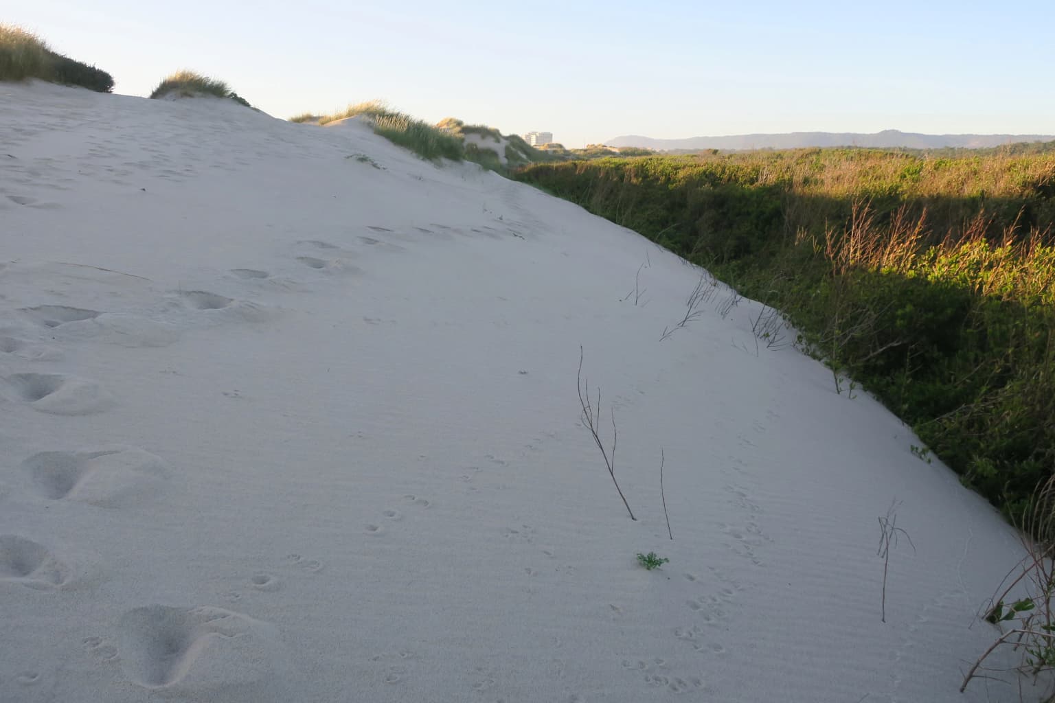
Northern Littoral Natural Park is best known for its exceptional Atlantic dune system, which represents the most extensive and best-preserved coastal dune formation in northern Portugal. The park's twin estuaries, where the Cávado and Neiva rivers meet the Atlantic, create rich wetland habitats that rank among the most significant in the region. The park serves as a crucial node in the East Atlantic Flyway, with the estuarine zones providing essential refueling grounds for thousands of migratory waders and waterfowl each year. The traditional agricultural practice of masseiras, distinctive trough-like cultivated fields dug into the sand dunes, represents a unique cultural landscape element that intertwines with the natural environment.

Northern Littoral Natural Park history and protected-area timeline

Northern Littoral Natural Park was established on November 17, 1987, becoming one of the earliest natural parks created under Portugal's modern protected areas framework. The park's creation responded to mounting concerns about development pressure along the northern Portuguese coast and the ecological fragility of the dune systems and wetland areas. The designation followed scientific surveys documenting the significance of the area's bird populations and the unique coastal dune formation. Management responsibility rests with ICNF, Portugal's nature conservation and forest authority, which oversees both the ecological protection mandate and the协调 of human activities within the park boundaries. The establishment also reflected growing appreciation for the cultural dimension of the landscape, particularly the traditional masseira agricultural system that represents a distinctive form of coastal land use adapted to the sandy soils and wind exposure of the dune environment.

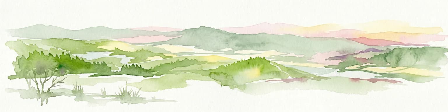
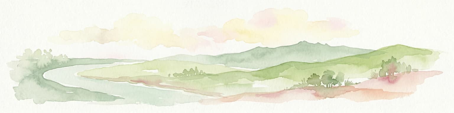
Northern Littoral Natural Park landscape and geographic character

The physical landscape of Northern Littoral Natural Park is defined by the interaction between Atlantic marine processes and the fluvial systems of two major rivers. The most visually prominent feature is the frontal dune chain, a series of sand ridges running parallel to the coast that constitute the longest and most intact dune system in northern Portugal. These dunes, shaped by prevailing westerly winds and tidal forces, create a dynamic landscape that continues to evolve under natural coastal processes. Behind the primary dune ridge, secondary dunes and inter-dune hollows contain seasonal wetlands and lagoon systems that flood during winter months. The estuaries of the Cávado and Neiva rivers cut through this coastal framework, their broad tidal mouths creating extensive mudflat and sandflat areas exposed at low tide. The transition from the estuarine environments inland produces a landscape of marshes, reed beds, and wet grasslands that contrast sharply with the open beaches and dune ridges facing the Atlantic.

Northern Littoral Natural Park ecosystems, habitats, and plant life

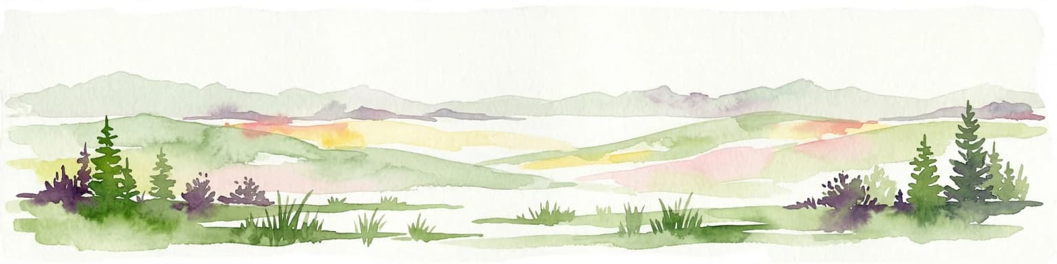
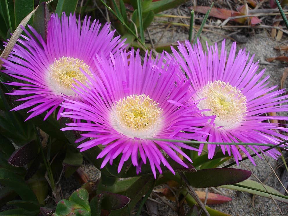
The ecological character of the park centers on the interplay between coastal dune habitats, estuarine wetlands, and the transitional environments between them. The dune system supports specialized plant communities adapted to salt spray, mobile sand substrates, and nutrient-poor conditions, including several species of rare coastal vegetation. The estuaries represent the ecological core of the protected area, their mudflats and shallow waters supporting dense populations of invertebrates that form the base of food chains feeding birds and fish. The wetland areas provide habitat for breeding, wintering, and migratory birds, with the park lying along the East Atlantic Flyway that brings thousands of waders, ducks, and geese through the area annually. The vegetation patterns reflect the gradient from saline conditions near the coast through brackish marshes to freshwater wetlands inland, with distinct plant communities occupying each zone. Around 240 species of plants have been documented within the park, representing a mix of Mediterranean, Atlantic, and boreal elements reflecting Portugal's position as a biogeographical crossroads.

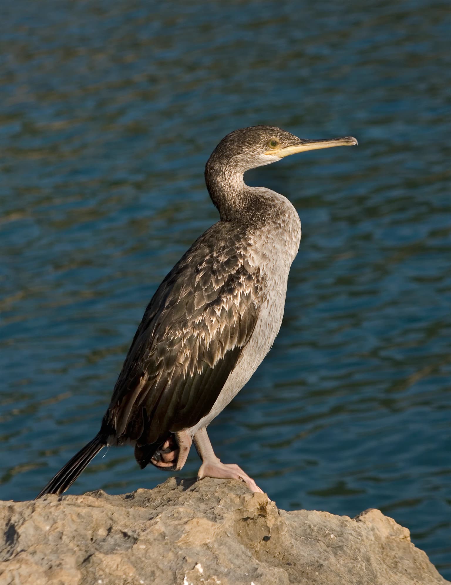
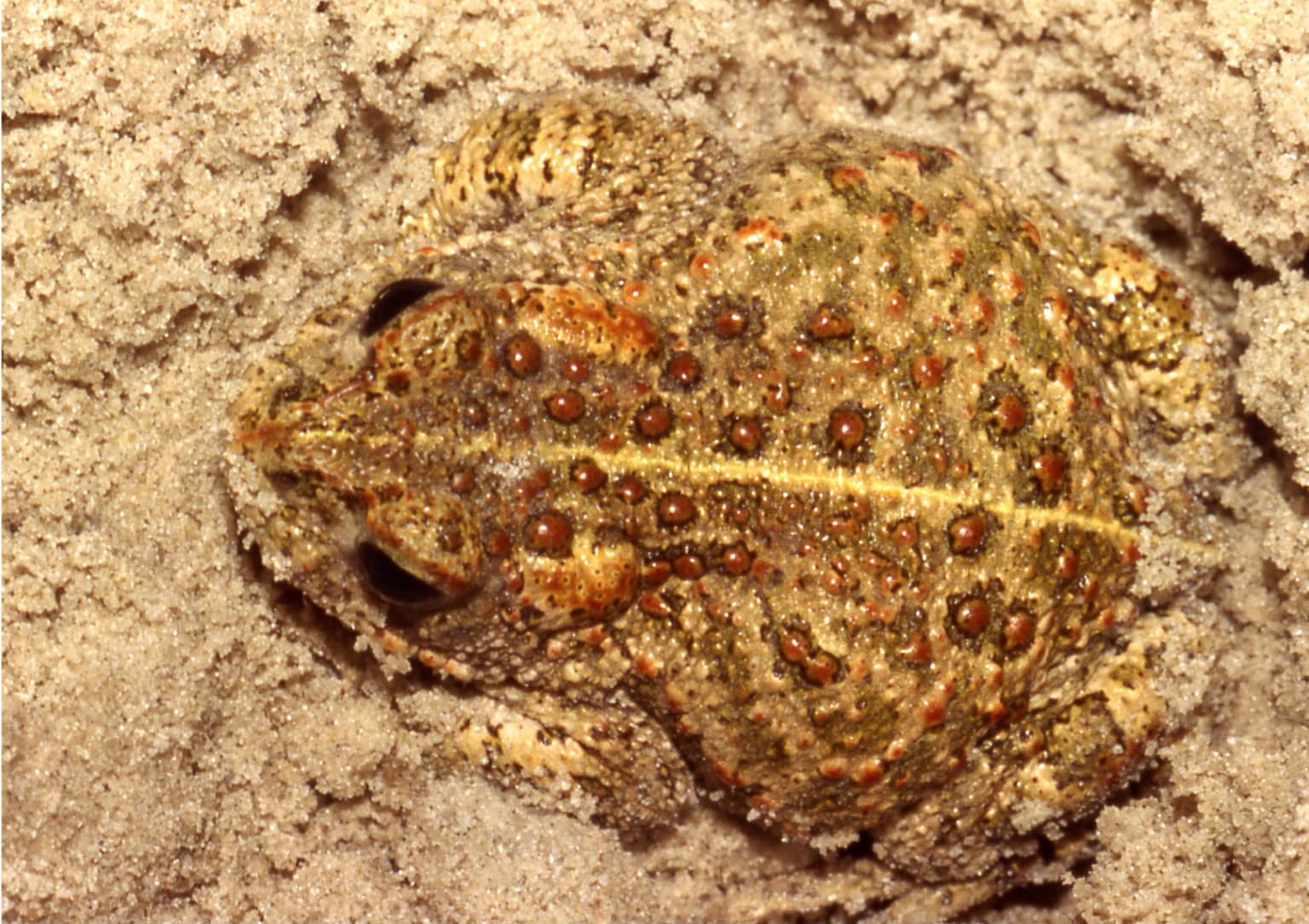
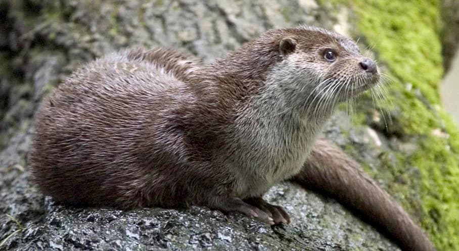
Northern Littoral Natural Park wildlife and species highlights

The birdlife of Northern Littoral Natural Park constitutes perhaps its most significant wildlife value, with approximately 140 species recorded in the terrestrial portions of the park alone. The estuarine areas serve as critical feeding and resting sites for migratory waders including species such as dunlin, knot, and godwits that pause here during their journeys between northern breeding grounds and African wintering areas. Winter brings significant populations of ducks, including teal and wigeon, that utilize the sheltered estuarine waters. The dunes and adjacent grasslands provide nesting habitat for several species of ground-nesting birds, while the wetland areas support herons, egrets, and the distinctive purple heron. The mammal fauna includes 19 confirmed species and potentially another eight species that may occur within the park, representing typical European coastal and wetland assemblages. The marine and estuarine waters support fish species important both ecologically and for local fisheries, with the estuary functioning as a nursery area for several commercially significant species.

Northern Littoral Natural Park conservation status and protection priorities

The conservation significance of Northern Littoral Natural Park derives from multiple factors: the rarity and fragility of Atlantic dune ecosystems in northern Portugal, the importance of the estuarine wetlands for migratory birds, and the presence of traditional land-use practices that have maintained open landscapes valuable for wildlife. The park's IUCN Category V classification reflects its character as a living landscape where nature conservation objectives coexist with continued human use rather than requiring exclusion of human activity. The protection framework addresses threats from coastal development, infrastructure expansion, and altered hydrological patterns that could affect the estuarine environments. The designation has helped maintain the dune system in a relatively natural state and provided formal recognition for the wetland habitats that support internationally important bird populations during migration and winter. The preservation of the masseira agricultural system also contributes to conservation by maintaining the open, grazed grassland habitats that many bird species require.

Northern Littoral Natural Park cultural meaning and human context

The cultural landscape of Northern Littoral Natural Park reflects centuries of human adaptation to the challenging coastal environment. The most distinctive traditional practice is the masseira system, agricultural fields dug as deep troughs into the sandy soil immediately behind the dune ridges. These excavations reach nearly to the water table, ensuring crops receive moisture while the surrounding dune ridges provide protection from Atlantic winds. This labor-intensive form of agriculture, unique to this stretch of the Portuguese coast, has shaped the dune-fringe landscape in ways that create heterogeneous habitat structure valuable for wildlife. The harvest of sargassum seaweed from the beach represents another traditional activity, with the algae collected in June and dried in the sun before use as fertilizer for the coastal farmland. The seaweed and pilado (small crustaceans) provided the main fertilizers for the sandy soils of the Minho coast for generations. The festa dos sargaceiros festival in Apulia celebrates this heritage with traditional costumes, embodying the cultural connection between local communities and the coastal environment.

Top sights and standout views in Northern Littoral Natural Park

The park's Atlantic dune system stands as its most distinctive landscape feature, representing the finest example of coastal dunes in northern Portugal. The twin estuaries of Cávado and Neiva create extensive wetland habitats that rank among the most important in the region for migratory birds. The traditional masseira agricultural landscape provides a unique cultural element uncommon elsewhere in Portugal. The location along a major migratory flyway ensures remarkable bird observation opportunities, particularly during spring and autumn passage periods. The combination of marine, dune, estuary, and agricultural environments within a compact area creates exceptional habitat diversity.

Best time to visit Northern Littoral Natural Park

The optimal time to experience Northern Littoral Natural Park depends on interests, with the estuarine bird populations most easily observed during migration periods in spring (March to May) and autumn (September to November), when thousands of waders and waterfowl use the wetlands as staging areas. Winter months bring significant numbers of ducks and geese to the estuaries, making this season rewarding for birdwatchers interested in waterfowl. The summer months see the dune flora in full flower and provide the warmest conditions for beach and walking activities, though this is also when visitor numbers are highest. Each season offers a different perspective on the park's landscapes, from the fresh green of spring to the warm tones of late summer and the atmospheric conditions of winter storms along the coast.

Park location guide

Geography guide, regional context, and park location map for Northern Littoral Natural Park

Northern Littoral Natural Park park geography, regions, and map view in Portugal
Understand where Northern Littoral Natural Park sits in Portugal through a broader geographic reading of the surrounding landscape, nearby location context, and its mapped position within the national park landscape.

How Northern Littoral Natural Park fits into Portugal

Portugal is a developed European country on the western Iberian Peninsula. It features a coastline along the Atlantic Ocean, includes the autonomous regions of the Azores and Madeira, and is known for its maritime history during the Age of Discovery. The country has a population of over 10.7 million and operates as a semi-presidential republic with Portuguese as its official language.

Wider geography shaping Northern Littoral Natural Park in Portugal

Portugal occupies the western portion of the Iberian Peninsula in Southwestern Europe. The mainland borders Spain to the north and east, while the autonomous regions of Madeira and the Azores are situated in the Atlantic Ocean. The country includes Cabo da Roca, the westernmost point in continental Europe. The terrain varies from plains in the south to mountainous regions in the north.

Map view of Northern Littoral Natural Park

Use this park location map to pinpoint Northern Littoral Natural Park in Portugal, understand its exact geographic position, and read its mapped placement within the surrounding landscape more clearly.

Pigeon | © OpenStreetMap contributors

Location context for Northern Littoral Natural Park

Braga DistrictPorto District
Park atlas

Map Portugal's Atlantic Coast Protected Landscapes, Comparing Estuarine Wetlands and Dune Systems

Explore Nearby National Parks and Coastal Protected Areas Beyond Northern Littoral Natural Park
After exploring Northern Littoral Natural Park, delve into other protected areas across Portugal's northern coastal region and compare their unique estuarine, dune, and wetland ecosystems. This geographic overview offers rich context for understanding the broader protected landscape and tracing the spread of coastal conservation efforts.
National park

Peneda-Gerês National Park: A Distinct Protected Landscape in Northern Portugal

Granite peaks, glacial valleys, and cultural heritage mapped.

Peneda-Gerês National Park represents a cornerstone of protected landscapes in Portugal, celebrated for its rugged granite mountains and deep glacial valleys sculpted over millennia. This national park showcases a rare ecological transition zone with unique endemic species and features dramatic waterfalls and pristine river systems. The park's rich cultural tapestry, interwoven with its natural environment, offers a compelling subject for atlas-based geographic discovery and landscape exploration.

Area
695.93 km²
Established
1971
IUCN
II
Visitors
92.8K annual
Watercolor landscape illustration featuring mountains, forests, fields, and trees
Protected areaNorte Region

Alvão Natural Park: Protected Area Discovery and Regional Geographic Context

Explore its mapped boundaries and landscape within the Norte Region.

Alvão Natural Park is recognized as a protected area offering unique opportunities for geographic study and atlas exploration. This detail page provides an in-depth look at its protected landscape, mapping its precise boundaries and situating it within the diverse geography of Portugal's Norte Region. Understand the park's intrinsic value as a mapped natural area and discover its contribution to the regional conservation landscape.

Area
72.03 km²
Established
1983
IUCN
V
Visitors
29.6K annual
Watercolor illustration of rolling green hills and distant purple mountains under a light sky
National parkGalicia

Atlantic Islands of Galicia National Park: Protected Archipelagos & Galician Coastline Geography

Explore mapped island ecosystems and protected marine areas.

Uncover the protected landscape of the Atlantic Islands of Galicia National Park, Spain's only national park in Pontevedra province. This atlas entry details the four distinct archipelagos, Cíes, Ons, Sálvora, and Cortegada, across the Rías Baixas. Discover the unique sea-land protected area, its rare bay laurel forests, significant seabird colonies, and the broader regional geography of Galicia.

Area
84.8 km²
Established
2002
IUCN
II
Visitors
472.3K annual
Watercolor illustration of a landscape with green mountains, a body of water, and colorful wildflowers in the foreground
Nature reservePortugal

Serra da Estrela Natural Park: Glacial Terrain and Highest Peaks in Portugal

Explore the dramatic geography of this nature reserve.

Serra da Estrela Natural Park is a significant protected landscape in Portugal, celebrated for containing the nation's highest peak and exceptional Quaternary glacial formations. The park's terrain includes dramatic valleys carved by ice, numerous glacial lakes, and a stark alpine plateau around Torre. This nature reserve preserves a unique environment shaped by both geological history and traditional pastoralism, offering rich mapped context for understanding Portugal's mountainous geography and protected areas.

Area
891.32 km²
Established
1976
IUCN
V
Visitors
7.6K annual
Protected landscapeBragança District

Montesinho Natural Park: Protected Landscape in Bragança District, Portugal

Explore mapped boundaries and regional landscape context.

Montesinho Natural Park is designated as a protected landscape in northeastern Portugal, located within the administrative region of Bragança District. This page serves as an entry point to understanding the park's protected area characteristics, its mapped geographic footprint, and its role in the broader natural landscape of the Trás-os-Montes region. Discover the atlas value of this significant protected territory and its relation to surrounding geography.

Area
742.25 km²
Established
1979
IUCN
V
Relief
Mountain
Watercolor illustration of a landscape with rolling hills, a body of water, and vegetation
Protected landscapePortugal

Aire and Candeeiros Ranges Natural Park: Protected Landscape and Regional Geographic Context

Explore the mapped boundaries and natural landscape of this Portuguese protected area.

Understand the Aire and Candeeiros Ranges Natural Park as a key protected landscape in Portugal. This page offers detailed geographic information, focusing on the park's mapped boundaries and its intrinsic connection to the surrounding regional geography. It serves as a portal for atlas exploration, providing structured data for users interested in the specific protected area and its landscape characteristics within the Iberian Peninsula.

Area
383.93 km²
Established
1979
IUCN
V
Visitors
31.9K annual
Watercolor illustration of a landscape with green hills, scattered trees, and distant mountains under a pink and yellow sky
Protected landscapePortalegre District

Serra de São Mamede Natural Park: A Protected Landscape Defined by Ecological Transition

Explore the unique mountain terrain and ecosystems of Portalegre District.

Delve into the geographic and ecological identity of Serra de São Mamede Natural Park, a significant protected landscape situated in Portugal's Portalegre District. This area is renowned for its dramatic quartzite ridges and its role as a crucial meeting point for Atlantic and Mediterranean plant communities, offering a unique atlas perspective on regional biodiversity. Examining its mapped boundaries and diverse terrain provides essential context for understanding its ecological importance and its distinct position within the Alentejo region's geography.

Area
560.6 km²
Established
1989
IUCN
V
Visitors
4.5K annual
National park

Monfragüe National Park: Protected Landscape Atlas of Spanish Raptor Colonies

Explore mapped terrain and regional geography within this Spanish National Park.

As a national park in Spain's Extremadura region, Monfragüe National Park offers a distinct protected landscape shaped by the Tagus River and dramatic limestone cliffs. It is globally recognized for its exceptional birdlife, especially its large griffon vulture colonies and populations of Spanish imperial eagles, making it a significant site for ecological study and atlas-based exploration of protected areas. The park's landscape, characterized by Mediterranean woodlands and rugged terrain, provides crucial habitat and a unique geographic context for understanding Iberian Peninsula conservation.

Scope
Terrestrial

Common questions about visiting, size, designation, and location context for Northern Littoral Natural Park

Northern Littoral Natural Park FAQs for park facts, access, geography, and protected area context
Find quick answers about Northern Littoral Natural Park, including protected-area facts, park geography, trail and visitor context, and how the park fits into its surrounding country and regional landscape.
MoriAtlas Explorer

Continue Your Protected Areas Search Across the Global Atlas

Deepen your exploration by continuing the structured search for national parks and protected areas worldwide. Utilize the comprehensive filtering capabilities to compare different conservation landscapes and refine your understanding of global park geography. Discover more about the distribution and characteristics of protected natural areas.

Global natural geography