Mori Atlas logo
Protected landscapeGuadiana Valley Natural Park

Discover the mapped boundaries and regional landscape of this significant protected area in Beja District.

Guadiana Valley Natural Park: Protected Landscape Identity and Geographic Context

(Parque Natural do Vale do Guadiana)

Guadiana Valley Natural Park stands as a distinct protected landscape, offering a unique entry point for geographic exploration within Portugal's Beja District. This page serves as the canonical atlas-focused resource for understanding the park's specific protected area identity, its mapped boundaries, and its relationship to the surrounding regional geography. Delve into the mapped terrain and discover the structured landscape context that defines this significant natural area.

River protected areaMediterranean landscapeIUCN Category VWetland habitatBirdwatching destinationEndemic species
Illustration showing a river with a waterfall, surrounded by mountains and forests

Guadiana Valley Natural Park

Protected landscape

Park overview

Structured park overview, official facts, and landscape profile for Guadiana Valley Natural Park

Guadiana Valley Natural Park park facts, protected area profile, and essential visitor context
Review the core facts for Guadiana Valley Natural Park, including designation, size, terrain, visitor scale, habitats, and operating context in one park-focused overview.

About Guadiana Valley Natural Park

Guadiana Valley Natural Park occupies a significant portion of the Guadiana River basin in southeastern Portugal, representing one of the country's most important protected areas for maintaining ecological connectivity along a major European river system. The park encompasses not only the river itself but also the surrounding agricultural lands, woodland patches, and wetland areas that together form a heterogeneous landscape of considerable conservation value. The Guadiana River originates in Spain and flows southward to the Atlantic Ocean, and this protected section preserves one of its most natural and visually spectacular segments. The town of Mértola, with its rich historical heritage dating back to Moorish times, lies within the park boundaries, adding cultural dimension to the natural environment. The park serves as a critical corridor for wildlife movement through the otherwise dry and heavily agricultural Alentejo region, supporting species that depend on the river corridor for survival.

Quick facts and research context for Guadiana Valley Natural Park

Guadiana Valley Natural Park is located in southeastern Portugal within the Beja district, encompassing the municipalities of Mértola and Serpa. The park was established on 18 November 1995 and is managed by the Institute for Nature Conservation and Forests. It protects a significant stretch of the Guadiana River and its floodplain, one of Portugal's most ecologically important river systems. The northern section features the dramatic Pulo do Lobo waterfall, where the river plunges approximately 20 meters through a narrow rocky gorge. The southern marshland areas between Castro Marim and Vila Real de Santo António function as important nurseries for juvenile fish and provide critical habitat for numerous bird species.

Park context

Deeper park guide and search-rich context for Guadiana Valley Natural Park

Guadiana Valley Natural Park history, landscape, wildlife, and travel context
Explore Guadiana Valley Natural Park through its history, landscape character, ecosystems, wildlife, conservation priorities, cultural context, and seasonal travel timing in a structured park guide built for atlas discovery and search intent.

Why Guadiana Valley Natural Park stands out

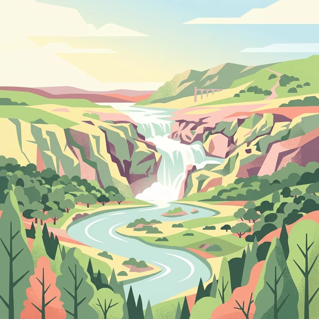
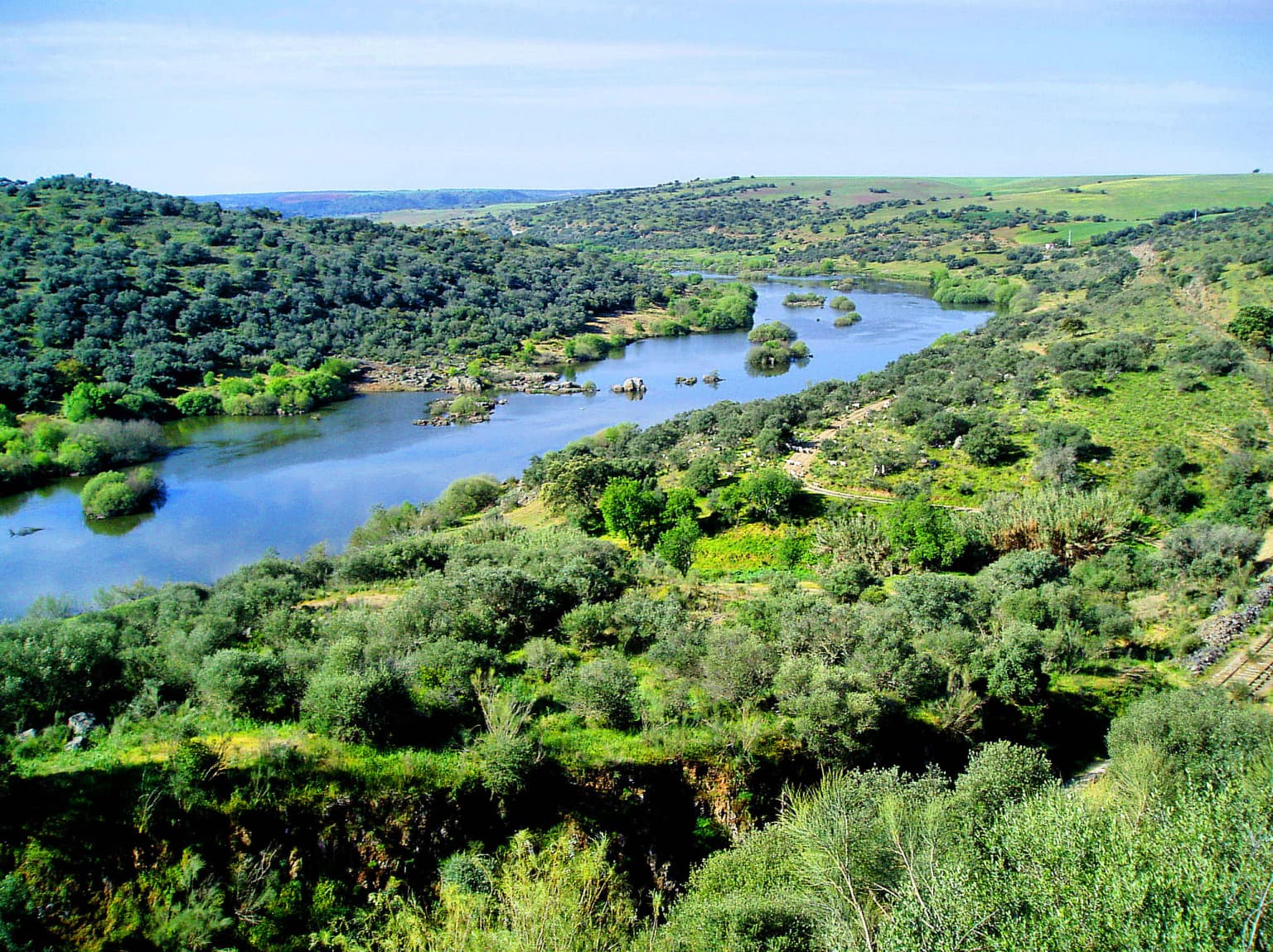
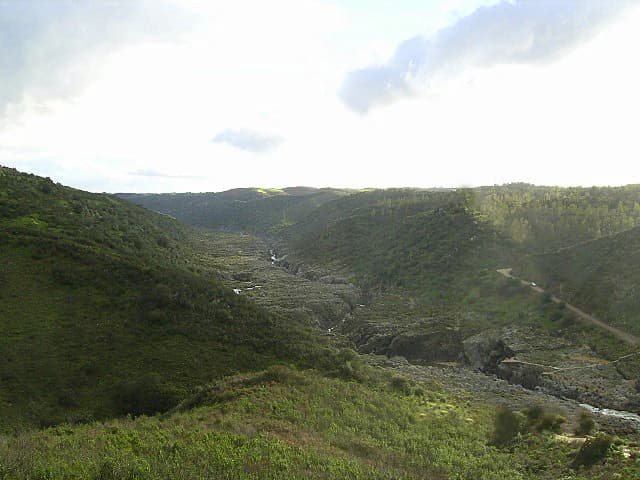
The park is best known for Pulo do Lobo, or Wolf's Leap, a striking waterfall where the Guadiana River cascades about 20 meters through a dramatic rocky gorge in the northern part of the protected area. The park is also renowned for its population of saramugo, a fish species found nowhere else in the world, making it globally significant for aquatic conservation. The marshland ecosystems in the southern portion serve as crucial spawning and nursery grounds for fish and provide essential habitat for migratory and resident bird populations. The contrast between the river corridor's lush vegetation and the surrounding semi-arid Mediterranean landscape creates a distinctive visual and ecological character that defines the park's identity.

A sleeping Eurasian eagle-owl with brown and black striped feathers resting on a mossy tree trunk against a dark background
Sleeping Eurasian eagle-owl perched on a moss-covered tree trunk

Guadiana Valley Natural Park history and protected-area timeline

Guadiana Valley Natural Park was established on 18 November 1995 as part of Portugal's expansion of its protected area network during the 1990s. The creation of the park reflected growing recognition of the Guadiana River's ecological importance and the need to protect the remaining natural values of this river system, which had faced various development pressures in preceding decades. The park was designated under Portuguese natural park legislation and placed under the management of the Institute for Nature Conservation and Forests, the national agency responsible for protected area administration. The establishment also acknowledged the region's cultural significance, particularly the historic town of Mértola, whose traditional architecture and archaeological heritage are intertwined with the surrounding landscape.

Guadiana Valley Natural Park landscape and geographic character

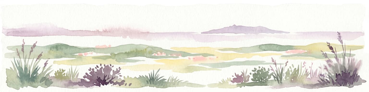
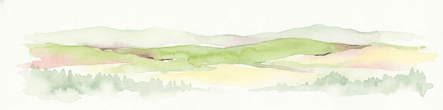
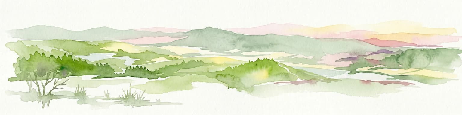
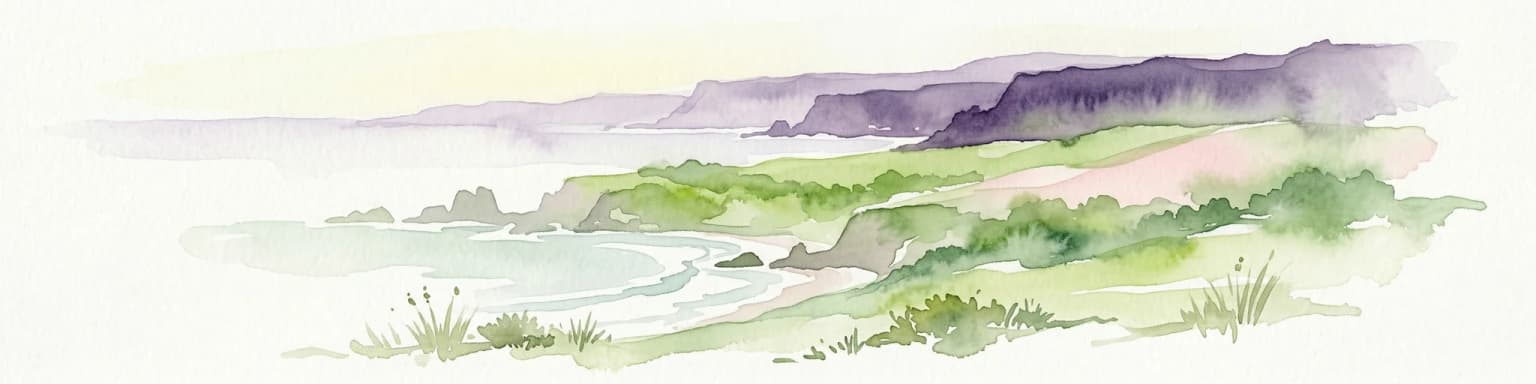
The landscape of Guadiana Valley Natural Park is defined by the Guadiana River as it flows through a relatively flat valley floor flanked by rolling terrain typical of the Baixo Alentejo region. The river creates a band of riparian vegetation through an otherwise semi-arid landscape characterized by cork oak and olive tree woodlands, rocky outcrops, and agricultural fields. In the northern portion of the park, the river encounters a narrow rocky channel that forces the water into a dramatic 20-meter vertical drop known as Pulo do Lobo, a geological feature of considerable visual impact. The riverbanks support galleries of willow, poplar, and oleander, creating a vivid green contrast to the sunnier, drier terrain beyond. The southern section of the park includes important marshland areas that expand during wetter periods, creating wetland habitat that contrasts sharply with the surrounding Mediterranean countryside.

A garden dormouse with brown and white fur, black eyes, and a long tail clinging to a textured stone wall next to a dark wooden plank
Garden dormouse clinging to a stone wall near a wooden structure

Guadiana Valley Natural Park ecosystems, habitats, and plant life

The nature of Guadiana Valley Natural Park is shaped by the Mediterranean climate and the presence of the Guadiana River corridor through one of Portugal's driest regions. The park encompasses several distinct habitat types including riparian woodland along the river, Mediterranean shrubland, cork oak and olive tree savanna, and the ecologically important marshland areas in the south. The river itself supports specialized aquatic communities adapted to the seasonal variations in flow and water quality. The marshlands at the southern end function as critical ecological infrastructure, serving as nursery grounds for fish populations and providing essential feeding and resting areas for waterfowl and migratory birds. The surrounding countryside, despite its semi-arid character, supports a Mediterranean flora adapted to the prolonged dry summers and mild winters typical of this part of the Iberian Peninsula.

A Mediterranean house gecko resting on a light-colored tree branch with visible texture and small holes
Mediterranean house gecko basking on a tree branch

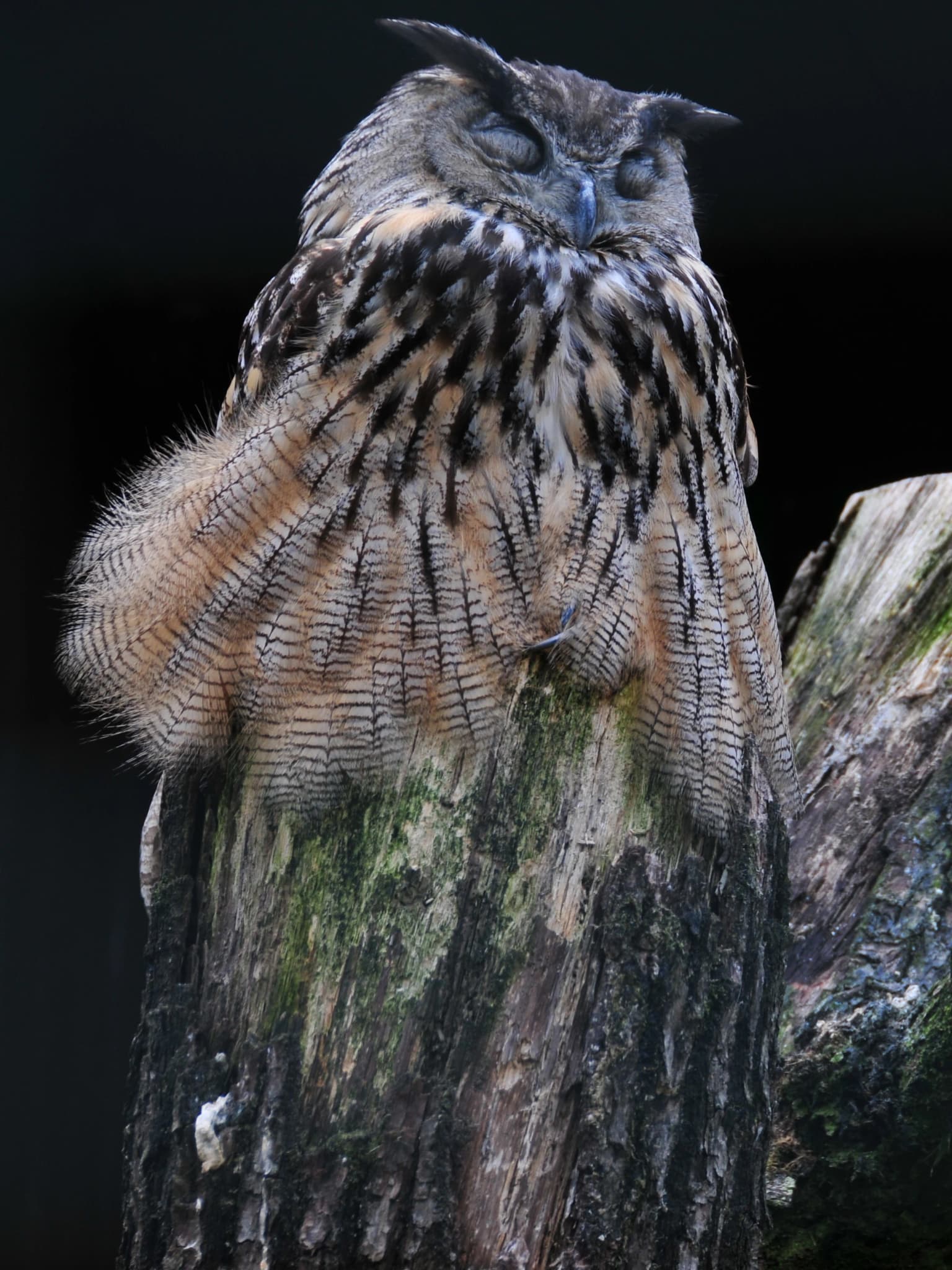
Guadiana Valley Natural Park wildlife and species highlights

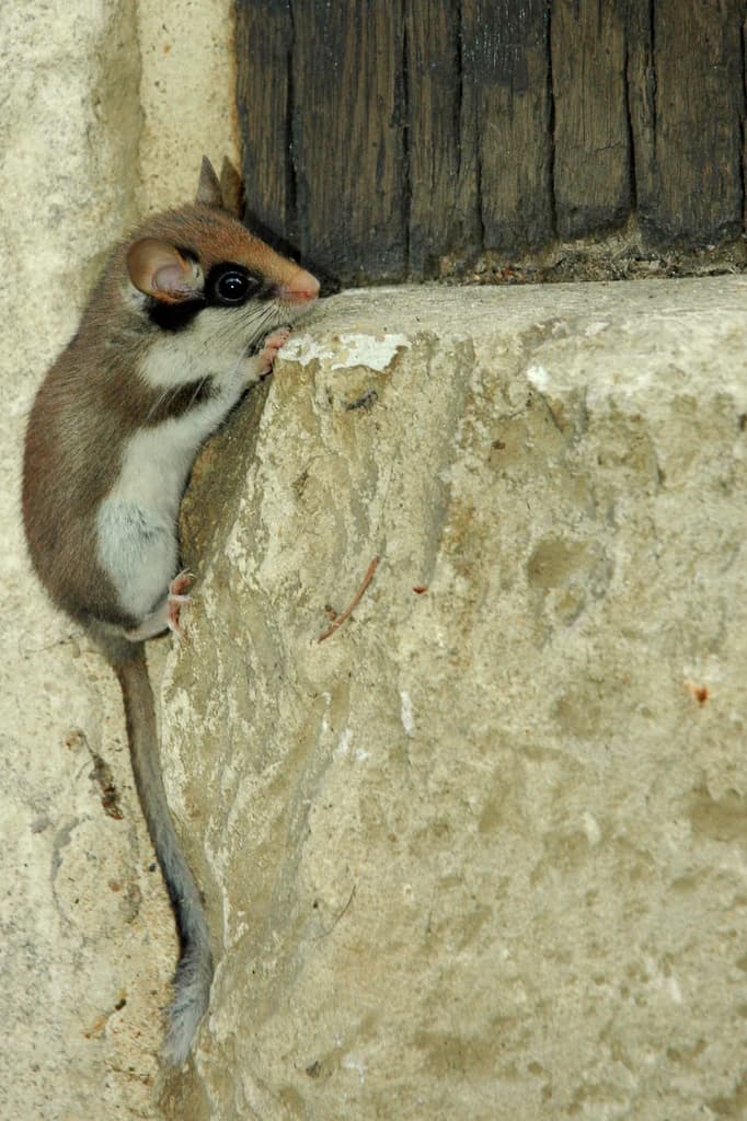
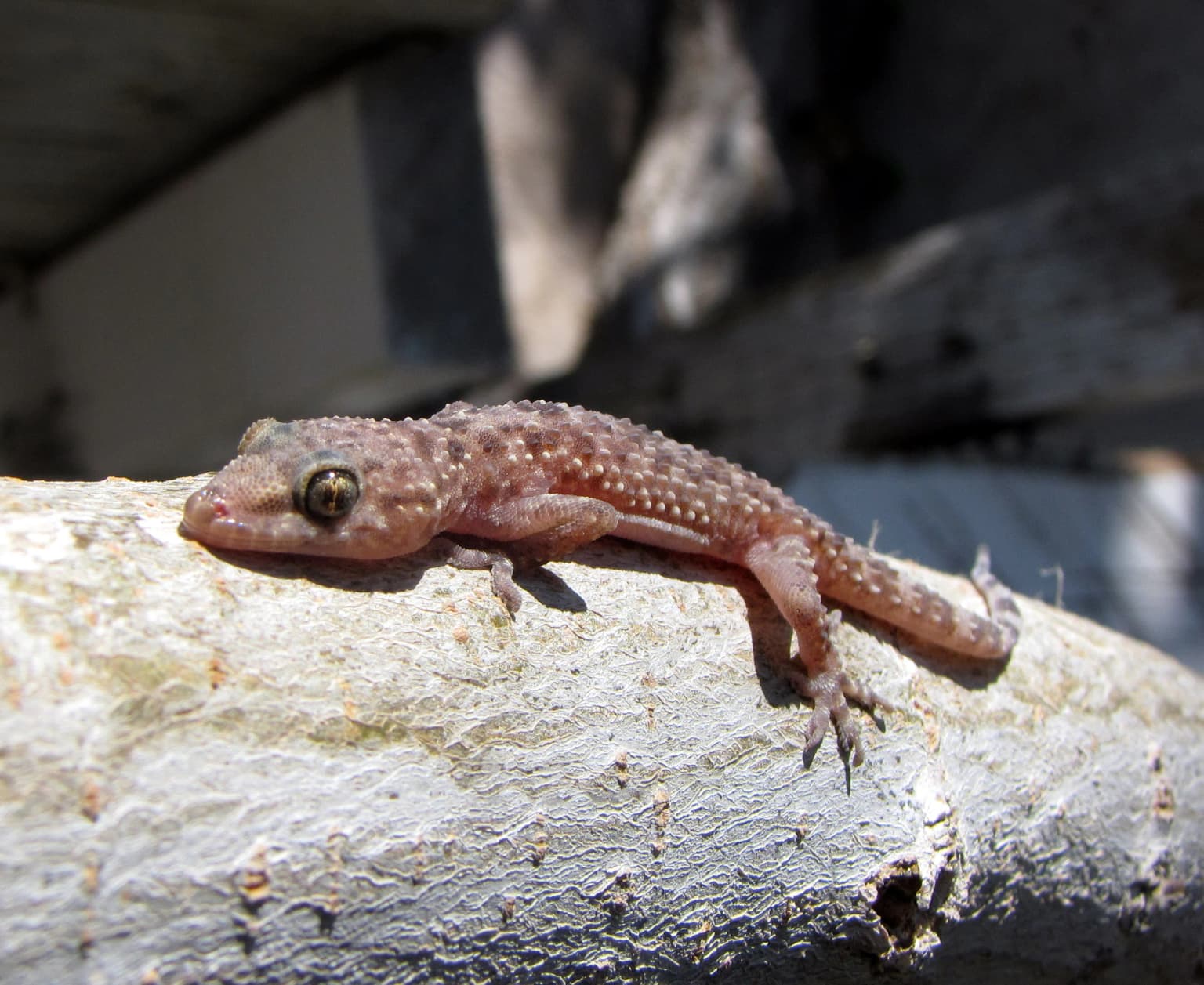
The wildlife of Guadiana Valley Natural Park is notable for the presence of species adapted to both aquatic and Mediterranean terrestrial environments. The park is home to the saramugo, a fish species endemic to this river system and found nowhere else on Earth, representing a globally significant conservation responsibility. The marshland areas support important fish spawning and nursery functions for multiple species. The birdlife is particularly diverse, with the wetlands providing essential habitat for numerous waterfowl species and the surrounding Mediterranean landscapes supporting populations of birds of prey, rollers, and other characteristic Iberian species. The park also supports populations of Mediterranean turtle dove, Bonelli's eagle, and various heron and egret species that use the wetland areas seasonally.

A wide view of the Guadiana River winding through a lush green valley with rolling hills under a clear blue sky.
The Guadiana River flowing through the valley landscape of Guadiana Valley Natural Park.

Guadiana Valley Natural Park conservation status and protection priorities

Guadiana Valley Natural Park plays a crucial conservation role in Portugal's protected area network by preserving a significant portion of the Guadiana River system and the associated ecological processes that depend on it. The park's IUCN Category V designation reflects its nature as a protected landscape where sustainable human activities coexist with natural values, rather than a strict wilderness preserve. The preservation of the river corridor is particularly important given the surrounding region's intensive agricultural use and the water demands of the Alentejo area. The marshland ecosystems in the southern portion are recognized as being of high conservation value, functioning as natural infrastructure that supports fish populations and bird communities across the Iberian Peninsula. The presence of the globally endangered saramugo fish places particular conservation responsibility on the park.

Guadiana Valley Natural Park cultural meaning and human context

The cultural context of Guadiana Valley Natural Park is strongly linked to the historic town of Mértola, which lies within the park boundaries and represents one of the oldest continuously inhabited settlements in Portugal. The town has Moorish architectural heritage and contains archaeological evidence of human occupation spanning multiple civilizations. The traditional agricultural landscape of cork oak and olive cultivation that surrounds the river has shaped the region's character over centuries, and these activities continue to function within the park's management framework. The Guadiana River itself has historically served as a boundary between Portugal and Spain, adding geopolitical dimension to the landscape. The interaction between human settlement, agricultural practice, and the natural river system over generations has created a cultural landscape where heritage and ecology are intertwined.

Wide landscape view of the Guadiana River winding through a lush green valley with rolling hills under a partly cloudy sky.
Panoramic view of the Guadiana River valley in Guadiana Valley Natural Park.

Top sights and standout views in Guadiana Valley Natural Park

The primary highlight of Guadiana Valley Natural Park is Pulo do Lobo, the dramatic waterfall where the Guadiana River plummets through a narrow gorge, creating one of the most recognizable natural landmarks in the region. The park's significance for global conservation is underscored by the presence of the saramugo, a fish species found nowhere else in the world. The wetland areas in the southern portion provide exceptional birdwatching opportunities, particularly for migratory waterfowl and colonial nesting species. The contrast between the lush green river corridor and the golden, sunlit Mediterranean countryside creates a distinctive visual character that defines the park's landscapes.

Best time to visit Guadiana Valley Natural Park

The best time to visit Guadiana Valley Natural Park depends on the experience sought, with each season offering distinct advantages. Spring brings mild temperatures and the possibility of seeing the river corridor at its most vibrant, with wildflowers blooming along the banks and migratory birds returning to the wetlands. Autumn can be excellent for birdwatching as populations gather at the wetlands before migration, and the landscape takes on warm golden tones. Summer temperatures can be very high in this semi-arid region, though the river and its shade provide some relief. The Pulo do Lobo waterfall is most impressive following autumn and winter rainfall when water flow is strongest, though it remains a notable feature year-round. The historic town of Mértola can be explored throughout the year and adds cultural dimension to any visit.

Park location guide

Geography guide, regional context, and park location map for Guadiana Valley Natural Park

Guadiana Valley Natural Park park geography, regions, and map view in Portugal
Understand where Guadiana Valley Natural Park sits in Portugal through a broader geographic reading of the surrounding landscape, nearby location context, and its mapped position within the national park landscape.

How Guadiana Valley Natural Park fits into Portugal

Portugal is a developed European country on the western Iberian Peninsula. It features a coastline along the Atlantic Ocean, includes the autonomous regions of the Azores and Madeira, and is known for its maritime history during the Age of Discovery. The country has a population of over 10.7 million and operates as a semi-presidential republic with Portuguese as its official language.

Wider geography shaping Guadiana Valley Natural Park in Portugal

Portugal occupies the western portion of the Iberian Peninsula in Southwestern Europe. The mainland borders Spain to the north and east, while the autonomous regions of Madeira and the Azores are situated in the Atlantic Ocean. The country includes Cabo da Roca, the westernmost point in continental Europe. The terrain varies from plains in the south to mountainous regions in the north.

Map view of Guadiana Valley Natural Park

Use this park location map to pinpoint Guadiana Valley Natural Park in Portugal, understand its exact geographic position, and read its mapped placement within the surrounding landscape more clearly.

Pigeon | © OpenStreetMap contributors

Location context for Guadiana Valley Natural Park

Beja District

Visually understand the distinctive river corridor, semi-arid plains, and unique wetland habitats of this Portuguese protected landscape.

Guadiana Valley Natural Park Photos: Explore Landscapes, Scenery, and Protected-Area Views
Explore the diverse landscapes of Guadiana Valley Natural Park through imagery that reveals its dramatic Pulo do Lobo waterfall, vital riparian habitats, and expansive Mediterranean plains. These visuals offer a deep understanding of the park's unique protected character, illustrating the striking contrast between its green river corridor and the surrounding semi-arid terrain.

A sleeping Eurasian eagle-owl with brown and black striped feathers resting on a mossy tree trunk against a dark background

Common stone-curlew (Burhinus oedicnemus) standing in dry grass with blurred mountains in the background

A garden dormouse with brown and white fur, black eyes, and a long tail clinging to a textured stone wall next to a dark wooden plank

A Mediterranean house gecko resting on a light-colored tree branch with visible texture and small holes

A wide view of the Guadiana River winding through a lush green valley with rolling hills under a clear blue sky.

River flowing over rocks creating a waterfall in a natural park setting

Wide landscape view of the Guadiana River winding through a lush green valley with rolling hills under a partly cloudy sky.

Park atlas

Explore nearby protected landscapes and compare river basin geography across the Baixo Alentejo region.

Discover More Protected Areas Near Guadiana Valley Natural Park in Portugal's Beja District
Continue your atlas-style exploration beyond Guadiana Valley Natural Park by browsing other protected areas and natural landscapes across the Beja District and surrounding Baixo Alentejo region. Compare diverse park geographies, from semi-arid river valleys to unique wetland habitats, providing deeper context for Portugal's conservation efforts.
Protected landscapeAlgarve

Ria Formosa Natural Park Protected Landscape: Algarve Regional Geography

Explore mapped protected landscapes and regional geographic context.

Examine Ria Formosa Natural Park, a protected landscape that defines a significant portion of the Algarve's natural heritage. This atlas-focused exploration details the park's geographic features, its protected status, and its position within the wider regional geography. Understand the mapped extent of this protected landscape and its contribution to the natural context of southern Portugal.

Area
179.01 km²
Established
1978
IUCN
V
Relief
Lowland
Protected landscapeAlentejo Litoral

Southwest Alentejo and Vicentine Coast Natural Park: A Protected Landscape in Alentejo Litoral

Explore its mapped boundaries and regional geographic context.

This detail page offers a deep dive into the Southwest Alentejo and Vicentine Coast Natural Park, a protected landscape situated in Portugal's Alentejo Litoral region. Understand the park's identity as a protected area through its geographic features and mapped extent. MoriAtlas facilitates a structured understanding of this natural landscape, enabling focused discovery of its protected boundaries and regional geographical significance.

Area
895.7 km²
Established
1988
IUCN
V
Visitors
12.7K annual
National parkHuelva

Doñana National Park National Park: Mapped Geography and Protected Landscape Context

Explore Huelva's key protected area and its regional geographic setting.

Delve into the structured geographic data and mapped boundaries of Doñana National Park. This entry highlights its identity as a national park within the Huelva region, providing essential context for understanding its protected landscape. MoriAtlas offers this detail to facilitate a clear, atlas-driven exploration of its natural terrain and its place in the broader geographic framework of Spain.

Area
543 km²
Established
1969
IUCN
II
Visitors
376.3K annual
Protected landscapePortugal

Arrábida Natural Park: Protected Landscape Atlas and Geographic Context in Portugal

Mapped boundaries of this key Portuguese protected area.

Arrábida Natural Park is presented here as a significant protected landscape, offering rich details for geographic exploration and atlas-based research. Users can investigate its specific mapped boundaries, understand its environmental setting within Portugal, and utilize this data for comparative analysis of protected areas. This resource focuses on the park's inherent geographic identity and its role as a defined natural landscape.

Area
176.41 km²
Established
1976
IUCN
V
Visitors
23.1K annual
Watercolor illustration of a landscape with green hills, scattered trees, and distant mountains under a pink and yellow sky
Protected landscapePortalegre District

Serra de São Mamede Natural Park: A Protected Landscape Defined by Ecological Transition

Explore the unique mountain terrain and ecosystems of Portalegre District.

Delve into the geographic and ecological identity of Serra de São Mamede Natural Park, a significant protected landscape situated in Portugal's Portalegre District. This area is renowned for its dramatic quartzite ridges and its role as a crucial meeting point for Atlantic and Mediterranean plant communities, offering a unique atlas perspective on regional biodiversity. Examining its mapped boundaries and diverse terrain provides essential context for understanding its ecological importance and its distinct position within the Alentejo region's geography.

Area
560.6 km²
Established
1989
IUCN
V
Visitors
4.5K annual
Watercolor painting showing rolling coastal hills with green vegetation, a body of water, and distant mountains under a light sky
Protected landscapeLisbon District

Sintra-Cascais Natural Park: Mapped Protected Landscape in Lisbon District, Portugal

Explore Atlantic coast geography and historic palatial terrain.

The Sintra-Cascais Natural Park is a designated protected landscape in Portugal's Lisbon District, renowned for its fusion of natural beauty and historical architecture. This page offers an atlas-style exploration of its mapped boundaries, showcasing the unique Serra de Sintra mountain range meeting the Atlantic coast. Discover the protected area's geographic features, from its lush forested slopes crowned with iconic palaces to the dramatic cliffs and beaches of Cabo da Roca, providing essential context for understanding this distinctive Portuguese natural landscape.

Area
144.51 km²
Established
1981
IUCN
V
Visitors
43.5K annual
Watercolor illustration of a landscape with rolling hills, a body of water, and vegetation
Protected landscapePortugal

Aire and Candeeiros Ranges Natural Park: Protected Landscape and Regional Geographic Context

Explore the mapped boundaries and natural landscape of this Portuguese protected area.

Understand the Aire and Candeeiros Ranges Natural Park as a key protected landscape in Portugal. This page offers detailed geographic information, focusing on the park's mapped boundaries and its intrinsic connection to the surrounding regional geography. It serves as a portal for atlas exploration, providing structured data for users interested in the specific protected area and its landscape characteristics within the Iberian Peninsula.

Area
383.93 km²
Established
1979
IUCN
V
Visitors
31.9K annual
National park

Sierra de las Nieves National Park: Ancient Fir Forests and Karst Geography in Andalusia

Mapped protected landscape and unique geologic features

Sierra de las Nieves National Park stands as a remarkable protected area in Andalusia, Spain, celebrated for its world-leading Spanish fir forests and intricate karst topography. This national park showcases significant geological diversity, from towering limestone formations and deep caves to the striking red peridotite mountains of Sierra Bermeja. Its elevation, reaching Pico Torrecilla at 1,919 meters, offers a unique alpine landscape context within southern Europe, mapped for detailed geographic discovery and protected area exploration.

Area
939.3 km²
Established
1989
IUCN
II
Visitors
100K annual

Common questions about visiting, size, designation, and location context for Guadiana Valley Natural Park

Guadiana Valley Natural Park FAQs for park facts, access, geography, and protected area context
Find quick answers about Guadiana Valley Natural Park, including protected-area facts, park geography, trail and visitor context, and how the park fits into its surrounding country and regional landscape.
MoriAtlas Explorer

Continue Your Protected Areas Search Across the Global Atlas

Deepen your exploration by continuing the structured search for national parks and protected areas worldwide. Utilize the comprehensive filtering capabilities to compare different conservation landscapes and refine your understanding of global park geography. Discover more about the distribution and characteristics of protected natural areas.

Global natural geography