Mori Atlas logo
Countries

A comprehensive atlas for tracing protected land boundaries and maritime conservation zones

National Parks, Protected Areas, and Geographic Landscapes of the Palau Archipelago

Navigate the complex geography of the Palau island nation through its structured network of protected areas and marine sanctuaries. This atlas provides a detailed look at the distribution of terrestrial and coastal preserves across the Caroline Islands chain. Users can examine how individual conservation zones, including freshwater watersheds and limestone marine formations, define the natural landscape of this Pacific island environment.

Related tags

island nationmicronesiaoceaniapacific islandssmall country
Park system

Palau Park System Snapshot and Protected Area Data

Comparing scale, regional designations, and environmental patterns across island reserves

Calculated metrics aggregate known protected area, median park size, and historical records to reveal structural patterns across tropical reserves. Current atlas distributions outline habitat types and administrative designations for comparative geography analysis.

Known protected area

502,585 km²

Area data available for 3 of 7 parks.

Median park size

41.1 km²

Median across 3 parks with known area.

Oldest known park

Established in 2002.

Largest known park

Recorded area: 502,539 km².

Designation distribution

Marine protected area3
Nature reserve3
Protected area1

Habitat distribution

Coastal habitat3
Marine habitat3
Tropical forest2
Lacustrine habitat1

Climate distribution

Tropical3
About

Explore the regional spread of protected areas and marine conservation zones across the islands

National Parks and Protected Areas in Palau: Mapped Geography and Conservation Landscapes

Browsing national parks in Palau reveals a diverse network of terrestrial reserves and marine conservation areas spanning the Caroline Islands. Tracing these protected landscapes offers clear geographic context for the western Pacific region.

Palau is a sovereign island nation located in the western Pacific Ocean within the Micronesia subregion of Oceania. The country consists of roughly 340 islands forming part of the Caroline Islands chain. It achieved full independence in 1994 through a Compact of Free Association with the United States, having previously been under Spanish, German, Japanese, and US administration.

Palau is a presidential republic consisting of approximately 340 islands in the western Pacific Ocean. Originally settled around 1,000 BCE by migrants from Maritime Southeast Asia, the islands came under Spanish, German, Japanese, and finally US control before gaining sovereignty in 1994. The country is part of Micronesia and is recognized for its significant marine ecosystems and dive sites.

Largest city:Koror
Currency code:USD
ISO code:PW
Parks count
7
Capital
Ngerulmud
Area
459 km²
Population
17,763 (2,025)

Coastal
Island
Mountainous
Landlocked
Park atlas7 parks

Explore marine conservation areas, rainforest watersheds, and island reserves across Palau.

National Parks and Protected Areas in Palau: Complete Country Park List

Browse marine sanctuaries, terrestrial reserves, and coastal conservation areas across the islands of Palau. Detailed geographic data and structured park profiles help trace regional protected landscapes throughout the western Pacific.
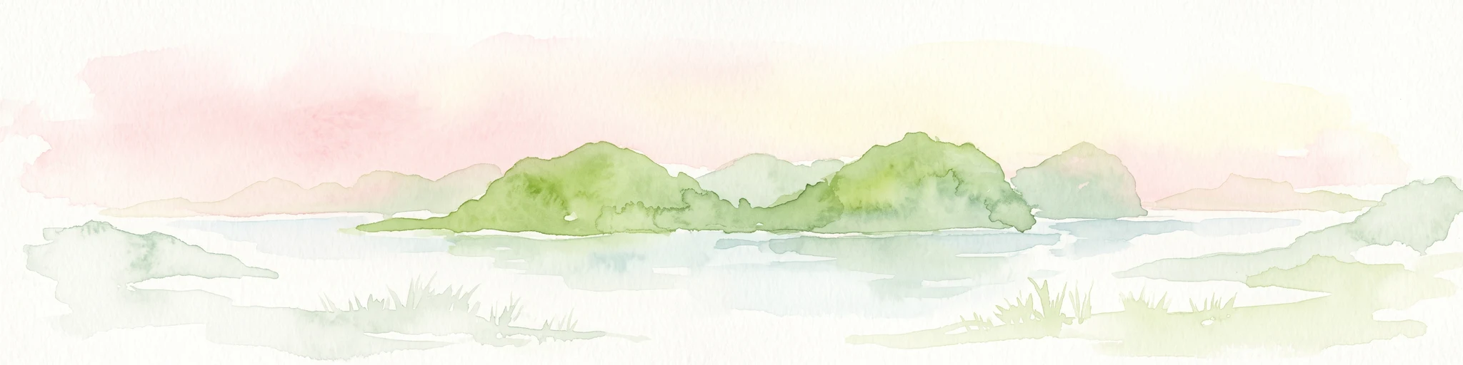
A watercolor painting showing a panoramic view of green islands surrounded by calm, light blue water under a soft pink and yellow sunrise or sunset sky.
Marine protected areaKoror

Rock Islands: Protected Marine Landscape and Limestone Archipelago Mapping

Geographic analysis of the reef-derived island system in Koror, Palau.

The Rock Islands consist of hundreds of limestone outcrops scattered across the Southern Lagoon, forming a mosaic of vegetated caps and narrow intertidal notches. This atlas entry provides a structured look at the archipelago's protected boundaries, marine lagoon features, and the unique geology that distinguishes these island landforms in the western Pacific.

Area
41.12 km²
Established
2012
Relief
Lowland
Climate
Tropical
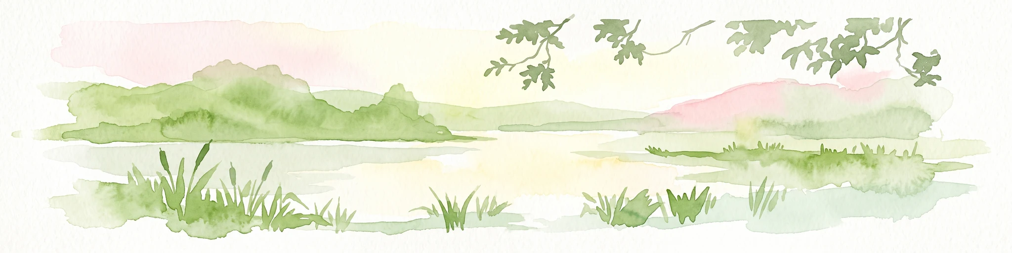
Watercolor painting of a calm lake surrounded by lush green hills, with reeds in the foreground and overhanging branches at the top.
Nature reserveMelekeok

Lake Ngardok Nature Reserve: Mapped Protected Area and Freshwater Geography in Melekeok

Protected wetland landscapes of central Babeldaob Island

Lake Ngardok serves as a landmark freshwater reserve in Melekeok, featuring extensive marshlands and a connected river drainage system. As a protected watershed on Babeldaob Island, the area offers significant insights into Pacific island freshwater ecology, providing a stable habitat within a dense tropical forest catchment for diverse endemic species and rare wildlife.

Area
4.93 km²
Established
2002
Water
Water-dominated
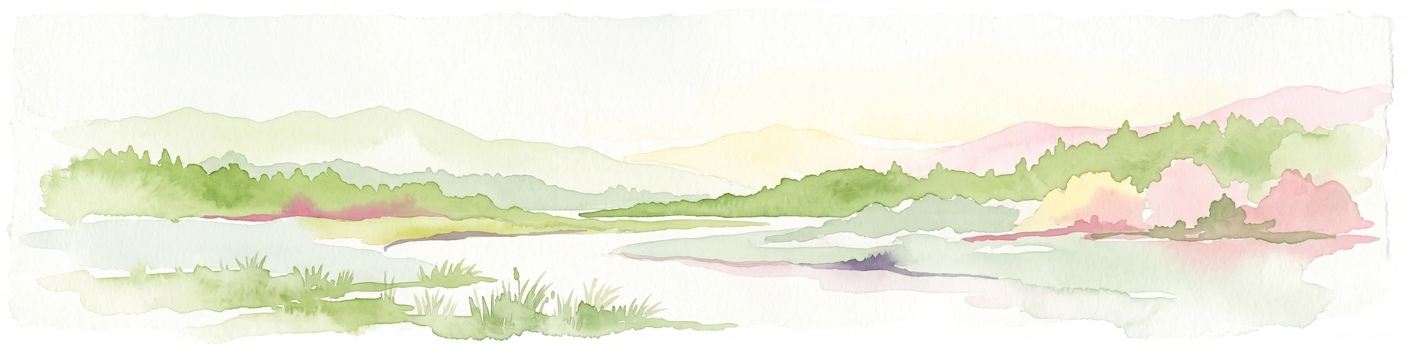
A horizontal watercolor painting depicting a soft-toned river landscape with distant hills, gentle foliage in shades of green and pink, and marshy banks.
Marine protected areaPalau

Palau National Marine Sanctuary: Mapping a Vast Pacific Ocean Protected Marine Estate

Large scale marine spatial protection in the western Pacific

Spanning over 500,000 square kilometers, the Palau National Marine Sanctuary represents a landmark in marine geography and conservation. This protected area covers a diverse gradient of environments, ranging from reef fringes to remote pelagic waters, and serves as an influential model for island-led stewardship in the Micronesian region.

Area
502,539 km²
Established
2015
Relief
Lowland
Climate
Tropical
Marine protected areaNgaraard

East Coast Ngaraad Marine Conservation Area: Marine Protected Area and Coastal Map

Northern Babeldaob coastal geography and marine reserve boundaries

Located in Ngaraard State, this marine protected area serves as a significant site for reef conservation and coastal habitat preservation in Palau. The region illustrates the connection between tropical island forest watersheds and reef-fringed lagoons, providing a clear view of the protected coastal environment in northern Babeldaob.

Relief
Lowland
Climate
Tropical
Access
Access unknown
Scope
Marine
Nature reserveState of Airai

Airai State Conservation Area: Protected Forest and Watershed Geography in the State of Airai

Nature reserve on Babeldaob Island, Palau

Located in the State of Airai on Babeldaob Island, this nature reserve protects native forest and watershed headwaters. The area is a key example of state-level terrestrial conservation in Palau, providing essential inland habitat and contributing to the island's overall ecological health through its managed landscape boundaries.

Relief
Lowland
Nature reserveState of Ngeremlengui

Bkulabeluu Conservation Area: Inland Forest Nature Reserve in Ngeremlengui, Palau

Mapped protected landscapes of northern Babeldaob

Deepen your understanding of Bkulabeluu Conservation Area, a significant nature reserve situated in the interior highlands of the State of Ngeremlengui. This atlas entry details the volcanic ridges, tropical rainforest vegetation, and watershed connectivity that define the protected landscape of Babeldaob island, serving as a cornerstone for terrestrial conservation in Palau.

Protected areaPalau

Ebiil Channel Conservation Area: Geographic Map and Protected Marine Landscape Profile

Coastal conservation mapping in northern Palau

Examine the physical geography and protected maritime boundaries of the Ebiil Channel Conservation Area. This site highlights the coastal transition zones between land and sea in northern Palau, providing essential context for the reef-based topography and marine reserves of the archipelago.

Water
Water-dominated
Landscape and environment

Understand how Palau is shaped by terrain, ecosystems, and seasonal conditions

Palau geography, nature, climate, and landscape context for park-focused travel research

Explore the physical geography, natural setting, and climate patterns of Palau through a location-first overview built for travel research, national park discovery, and broader regional context. This section helps explain how landscapes, habitats, and environmental conditions shape what people search for, where they travel, and how they experience protected areas in Palau.

Palau geography and landscape

Palau is located in the western Pacific Ocean as part of the Caroline Islands in the Micronesia region of Oceania. The archipelago sits near Indonesia to the south, the Philippines to the northwest, and the Federated States of Micronesia to the east. The largest island is Babeldaob, where the capital Ngerulmud is located in Melekeok State.

Palau nature and environment

Palau is renowned for its rich marine environment, including extensive coral reefs, clear blue waters, and diverse marine life. The islands feature tropical vegetation and are surrounded by the Pacific Ocean.

Palau climate and seasonal conditions

Palau has a tropical climate with high humidity and warm temperatures year-round, typical of Pacific island nations in the Micronesia region.

Explore this place

Related topics and popular queries

Ways to explore Palau

Useful phrases, related topics, and discovery prompts connected to Palau.
where is palauwhat is palaupalau country informationpalau capital citypalau islands populationpalau geographypalau independencepalau countryrepublic of palaupalau islandswestern pacificmicronesiaoceania islandspalau capitalkoror palau
Park map

Explore marine reserves and terrestrial park distribution across the islands

Palau National Parks Map and Protected Areas Atlas Preview

Browsing the interactive map preview reveals protected area positioning across tropical forests and marine sanctuaries in Palau. Opening the full map view enables comprehensive spatial analysis of island conservation zones and regional park geography.

Common inquiries regarding park geography, marine reserves, and island conservation

Frequently Asked Questions About National Parks and Protected Areas in Palau

Understanding national parks and protected areas in Palau requires clear context on island ecosystems and marine reserves. Structured answers help clarify regional park geography and conservation landscapes across the archipelago.
Other countries

Compare island ecosystems and regional conservation landscapes across the western Pacific

Explore National Parks and Protected Areas in Countries Near Palau

Browse marine reserves, coastal habitats, and tropical watersheds across neighboring island nations to study broader Pacific conservation geography. Expanding the regional search helps analysts compare isolated reef ecosystems and terrestrial protected areas throughout Oceania.

France National Parks and Protected Areas: Mapped Geographic Exploration

Navigate France's protected natural areas and national parks with our structured atlas. This resource highlights the geographic distribution of conservation landscapes, enabling users to visually explore park boundaries and understand the country's regional geography. It serves as a foundational tool for discovering the mapped natural terrain and protected lands within France.

283 parks

Italy's National Parks and Protected Areas: A Geographic Atlas Overview

MoriAtlas offers a detailed geographic perspective on Italy's network of national parks and protected areas. Explore the mapped boundaries, understand the distribution of these vital conservation regions, and navigate through the country's diverse natural terrain. This atlas interface empowers discovery of Italy's significant protected lands, providing context for their place within the broader European geography.

58 parks

Switzerland National Parks and Protected Areas: A Geographic Atlas Exploration

Delve into the structured geography of Switzerland's protected natural areas. This atlas-style exploration highlights the distribution of national parks and other protected lands, offering insights into their mapped boundaries and regional context within the Swiss landscape. Understand the geographic scope of conservation efforts across the country's diverse terrain.

42 parks

Spain's National Parks and Protected Areas: A Comprehensive Geographic Atlas

Delve into the protected natural heritage of Spain through a structured atlas approach. MoriAtlas details the geographic distribution and mapped boundaries of national parks and conservation areas. Understand the regional context and landscape features that define Spain's commitment to preserving its natural terrain, offering a unique perspective for geographic discovery.

38 parks

Luxembourg National Parks and Protected Areas: A Geographic Atlas Overview

Navigate the diverse protected natural areas of Luxembourg through a structured geographic lens. This atlas entry point allows for detailed exploration of park boundaries and the distribution of protected landscapes across the country. Understand the regional geography and conservation context of Luxembourg's natural heritage.

12 parks

Andorra's National Parks and Protected Landscapes: Atlas & Map Explorer

This entry provides a detailed geographic overview of national parks and protected natural areas within Andorra. Utilize MoriAtlas to visualize their distribution, understand the mapped boundaries, and explore the regional geography of this small but significant European nation. It serves as a key atlas resource for understanding Andorra's conservation landscapes.

2 parks

Liechtenstein Protected Areas: An Atlas of National Parks and Landscapes

Delve into the structured geography of Liechtenstein's protected natural areas. This atlas entry point allows for exploration of national parks and conservation landscapes, highlighting their mapped boundaries and regional context within the country. Understand the unique geographic distribution of protected lands in this Alpine microstate through detailed, factual data.

2 parks

Monaco National Parks and Protected Areas: Geographic Atlas Navigation

Access a comprehensive atlas view of national parks and protected areas within Monaco. This resource details the geographic distribution of conservation sites, offering insights into landscape context and park boundaries across the principality. Navigate protected natural areas with structured data for effective geographic exploration.

1 park

Protected area types

Explore the Full Range of Palau Park Designations and Classification Groups

Navigate through the structured classification of protected lands in Palau to identify how different conservation categories shape the nation's geography. MoriAtlas facilitates a deeper understanding of these regional protected zones and their specific geographic context.

Palau Protected Area Designations
MoriAtlas Explorer

Continue Your Global Geographic Exploration with MoriAtlas Park Discovery

Dive deeper into the world's protected landscapes and national parks through MoriAtlas's structured atlas interface. Discover how continents and countries are organized, and how individual park geography fits into the broader map. Our platform is built for understanding the distribution and context of protected areas worldwide, facilitating your journey through global natural geography.

Global natural geography