
Mori Atlas logo
Countries

Discover the mapped protected landscapes and natural terrain of Liechtenstein's alpine geography.

Liechtenstein National Parks and Protected Areas: A Geographic Atlas Explorer

Liechtenstein, a unique Alpine microstate, offers a distinct landscape ripe for geographic exploration. MoriAtlas provides a structured atlas entry point to discover its protected natural areas, including national parks and other conservation landscapes. Navigate the mapped boundaries and understand the regional distribution of these protected lands within the principality's compact geography, offering a unique perspective on alpine conservation.

Liechtenstein National Parks and Protected Areas: A Geographic Atlas Explorer
Park system

Liechtenstein Park System and Protected Area Snapshot

Comparative metrics on alpine terrain, habitat distributions, and park sizing across current records

Calculations evaluate aggregate protected land, median reserve size, and historical establishment records across known Liechtenstein locations. Dataset distributions outline regional habitat types and conservation designations to support comparative geographic analysis.

Known protected area

0.9 km²

Area data available for 2 of 2 parks.

Median park size

0.4 km²

Median across 2 parks with known area.

Oldest known park

Established in 1961.

Largest known park

Recorded area: 0.9 km².

Designation distribution

Nature reserve2

Habitat distribution

Lacustrine habitat1
Temperate broadleaf forest1
Wetland1

Climate distribution

Temperate1
About

Explore the geographic distribution of protected areas and mapped landscapes across Liechtenstein's compact alpine terrain.

Discover Liechtenstein's Protected Areas, Alpine Geography, and Conservation Landscapes

This MoriAtlas section serves as a geographic entry point for discovering Liechtenstein's national parks, protected areas, and diverse conservation landscapes. Gain insight into the country's compact alpine terrain, bordered by Switzerland and Austria, and understand the regional distribution of its natural protected sites within Central Europe.

The Principality of Liechtenstein is a small Central European country in the Alps, bordered by Switzerland to the west and north and Austria to the east. Founded in 1719, it became fully independent in 1866. The country is a parliamentary monarchy with the Prince holding significant executive powers. With an area of just 160 km² and a population of around 41,000, it is one of Europe's smallest and wealthiest nations.

Liechtenstein is a unique alpine microstate nestled in the Central European Alps between Switzerland and Austria. Despite its tiny size, it has developed into a prosperous financial center with one of the highest GDP per capita in the world. The country operates under a constitutional monarchy system where the Prince holds substantial authority, including the power to dismiss the government. Liechtenstein maintains close ties with Switzerland through a customs and monetary union while using the Swiss franc. It is a member of the United Nations, EFTA, and participates in the Schengen Area and EEA, though it is not an EU member.

Largest city:Schaan
Currency code:CHF
ISO code:LI
Parks count
2
Capital
Vaduz
Area
160.5 km²
Population
41,232 (2,023)

Coastal
Island
Mountainous
Landlocked
Park atlas2 parks

Discover Mapped Protected Landscapes and Conservation Areas across Liechtenstein

Liechtenstein National Parks and Protected Areas: A Geographic Exploration

Explore the curated atlas of protected areas and natural reserves within Liechtenstein. This country-level view offers a structured gateway to understanding the mapped geography of conservation landscapes. Navigate through Liechtenstein's unique alpine terrain and discover significant protected areas that define its natural heritage, providing a foundation for deeper geographical and ecological study.
Nature reserveLiechtenstein

Gampriner Seelein Nature Reserve: Geographical Context and Mapped Protected Boundaries

A rare natural lake within the Rhine Valley lowlands

Gampriner Seelein serves as a vital nature reserve and the sole naturally formed lake in Liechtenstein. Formed by historic Rhine flood events, this site preserves a rare floodplain forest ecosystem and managed wetland, providing essential habitat for diverse aquatic species and birds within a densely developed regional geography.

Area
0.015 km²
Established
1961
Relief
Lowland
Climate
Temperate
Nature reserveLiechtenstein

Ruggeller Riet Nature Reserve: Geographic Context and Mapped Wetland Boundaries in Liechtenstein

A vital lowland moorland and wetland ecosystem in the Rhine valley.

Ruggeller Riet serves as the primary lowland nature reserve in Liechtenstein, featuring an expansive 88-hectare wetland landscape. Positioned in the Alpine Rhine valley near the tripoint with Austria and Switzerland, this protected area preserves the post-glacial history of the region through its distinctive peat meadows, bogs, and grassland habitats.

Area
0.88 km²
Established
1978
IUCN
Ia
Relief
Lowland
Landscape and environment

Understand how Liechtenstein is shaped by terrain, ecosystems, and seasonal conditions

Liechtenstein geography, nature, climate, and landscape context for park-focused travel research

Explore the physical geography, natural setting, and climate patterns of Liechtenstein through a location-first overview built for travel research, national park discovery, and broader regional context. This section helps explain how landscapes, habitats, and environmental conditions shape what people search for, where they travel, and how they experience protected areas in Liechtenstein.

Liechtenstein geography and landscape

Liechtenstein is situated in the Central European Alps between Austria to the east and north-east and Switzerland to the north-west, west and south. The country is doubly landlocked, meaning it is landlocked and surrounded by other landlocked countries. The terrain is mountainous with the Rhine River forming part of its western border.

Liechtenstein nature and environment

Liechtenstein's landscape features Alpine terrain with mountainous regions, valleys, and the Rhine valley. The country has relatively limited natural resources but benefits from the Alpine environment including forests and mountain ecosystems.

Liechtenstein climate and seasonal conditions

Liechtenstein has a continental climate typical of Central Europe with cold winters and mild summers. Alpine influences affect the climate with higher elevations experiencing colder conditions.

Explore this place

Related topics and popular queries

Ways to explore Liechtenstein

Useful phrases, related topics, and discovery prompts connected to Liechtenstein.
where is liechtensteinwhat is liechtensteinliechtenstein capital vaduzliechtenstein geography and climateliechtenstein political systemliechtenstein economyliechtenstein historyliechtenstein countryprincipality of liechtensteinliechtenstein alpsliechtenstein geographyliechtenstein financeliechtenstein vaduzliechtenstein populationdoubly landlocked country
Park map

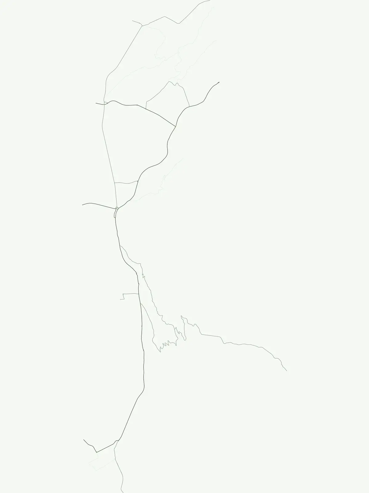
Understand the spatial distribution of protected landscapes throughout this alpine microstate.

Liechtenstein National Parks Map: Geographic Atlas of Protected Areas and Locations

Preview the geographic layout of Liechtenstein's protected areas and mapped parks, gaining initial insight into their distribution across the alpine terrain. This country-level map offers an essential atlas entry point for understanding conservation landscapes and encourages deeper exploration of the full park map.

Explore mapped alpine geography, floodplain reserves, and protected landscapes.

Liechtenstein National Parks FAQ: Common Questions on Protected Areas

Comprehensive answers clarify the geographic distribution of protected wetlands, nature reserves, and alpine habitats across the principality. Structured details help researchers navigate local conservation frameworks and regional environmental patterns without travel logistics.
Other countries

Access a broader atlas view of protected landscapes and park geographies across Central Europe, expanding from Liechtenstein's alpine context.

Discover National Parks and Protected Areas in Countries Geographically Connected to Liechtenstein

Browse the national parks and protected areas found in various countries across the MoriAtlas, extending your geographic discovery beyond Liechtenstein's alpine terrain. This country-level index provides structured geographic context, allowing you to compare protected landscapes and plan further exploration of diverse global park entities.

Germany National Parks and Protected Areas: Browse Geographic Distribution

Discover the breadth of Germany's national parks and protected natural areas through a structured geographic atlas. This section enables detailed browsing of mapped boundaries and understanding the regional landscape context for each protected land. It serves as a comprehensive entry point for anyone interested in the geography and distribution of conservation areas within the Federal Republic of Germany.

1,230 parks

Czechia National Parks and Protected Areas: Mapped Landscapes and Geographic Context

MoriAtlas presents a structured atlas view for discovering national parks and protected areas within Czechia. Examine the geographic spread and mapped boundaries of these significant natural landscapes. This resource aids in understanding the country's protected land distribution and regional geographic context, moving beyond simple listings to a deeper, map-aware exploration of Czechia's natural heritage.

250 parks

Switzerland National Parks and Protected Areas: A Geographic Atlas Exploration

Delve into the structured geography of Switzerland's protected natural areas. This atlas-style exploration highlights the distribution of national parks and other protected lands, offering insights into their mapped boundaries and regional context within the Swiss landscape. Understand the geographic scope of conservation efforts across the country's diverse terrain.

42 parks

Austria National Parks and Protected Areas: Geographic Atlas and Landscape Exploration

Navigate Austria's protected natural areas with a focus on geographic discovery. This atlas view highlights the distribution of national parks and significant protected landscapes, offering insights into regional terrain and mapped park boundaries for structured exploration.

23 parks

Croatia National Parks and Protected Areas: Geographic Atlas Explorer

MoriAtlas provides a geographic atlas for exploring Croatia's national parks and protected areas. Navigate the mapped boundaries and understand the distribution of protected lands throughout the country. This resource focuses on the structured discovery of natural landscapes and regional geography, offering a clear overview for understanding conservation areas within Croatia's diverse terrain.

16 parks

Luxembourg National Parks and Protected Areas: A Geographic Atlas Overview

Navigate the diverse protected natural areas of Luxembourg through a structured geographic lens. This atlas entry point allows for detailed exploration of park boundaries and the distribution of protected landscapes across the country. Understand the regional geography and conservation context of Luxembourg's natural heritage.

12 parks

Explore Slovenia's National Parks and Protected Areas: A Geographic Overview

This entry point to Slovenia's protected natural areas allows for structured geographic exploration. Understand the placement and scope of national parks and other designated lands across the country, using MoriAtlas to visualize their mapped boundaries and regional context. It serves as a comprehensive atlas for discovering Slovenia's diverse natural terrain and conservation efforts.

5 parks

Monaco National Parks and Protected Areas: Geographic Atlas Navigation

Access a comprehensive atlas view of national parks and protected areas within Monaco. This resource details the geographic distribution of conservation sites, offering insights into landscape context and park boundaries across the principality. Navigate protected natural areas with structured data for effective geographic exploration.

1 park

Protected area types

Explore the Full Range of Protected Area Designations in Liechtenstein

MoriAtlas offers a comprehensive way to browse protected area types within Liechtenstein. Select a classification to examine its individual nature reserves and geographic context in the Alpine region; deepen your understanding of how natural landscapes are categorized and managed across the country.

Liechtenstein Protected Area Designations
MoriAtlas Explorer

Continue Your Global Geographic Exploration with MoriAtlas Park Discovery

Dive deeper into the world's protected landscapes and national parks through MoriAtlas's structured atlas interface. Discover how continents and countries are organized, and how individual park geography fits into the broader map. Our platform is built for understanding the distribution and context of protected areas worldwide, facilitating your journey through global natural geography.

Global natural geography