National park

Bohemian Switzerland National Park: Czech Sandstone Protected Landscape and Map Exploration
Discover its unique terrain and protected area geography.
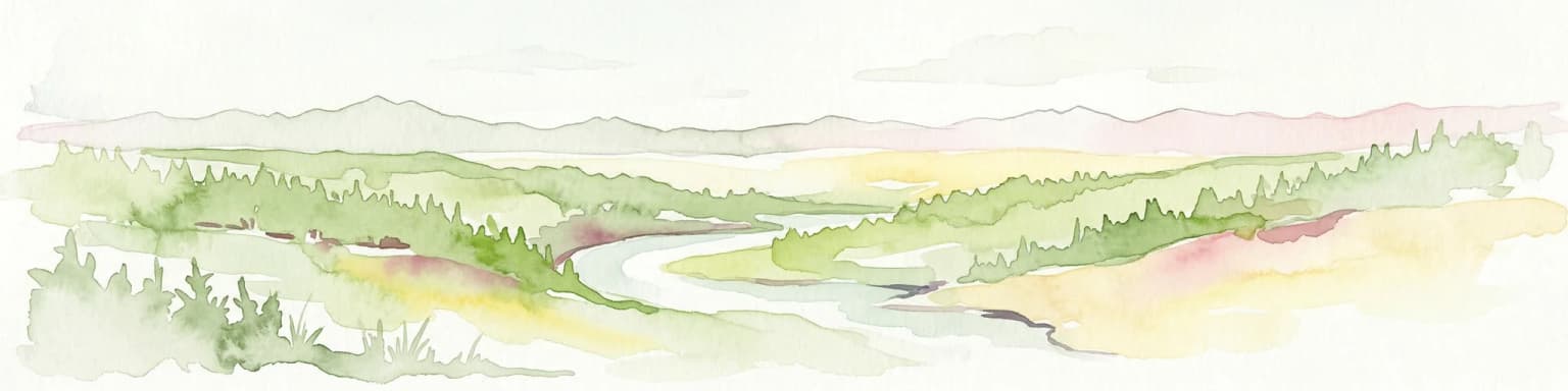
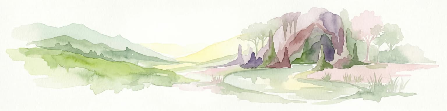
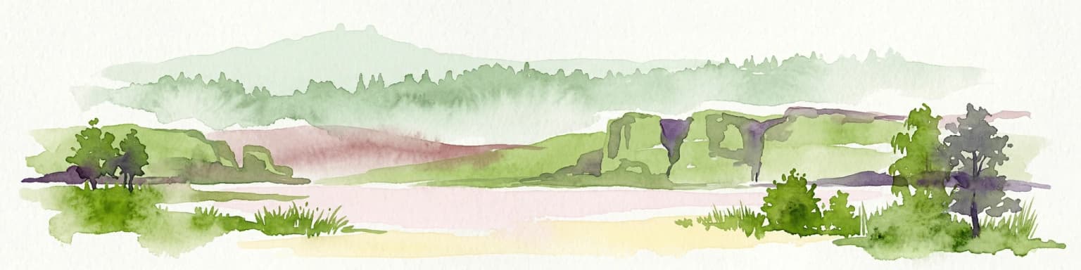
Bohemian Switzerland National Park is a protected area in the Czech Republic known for its exceptional sandstone geology. This national park showcases a dramatic landscape of towering rock formations, deep gorges, and striking canyons, forming a significant part of the Elbe Sandstone Mountains. Through MoriAtlas, users can explore its mapped protected boundaries, understand its regional geographic context, and appreciate its unique natural heritage.
- Area
- 79 km²
- Established
- 2000
- IUCN
- II
- Relief
- Mixed relief