Mori Atlas logo
National parkKrkonoše National Park

Discover mapped glacial terrain and unique ecosystems in the Czech Republic's highest mountains.

Krkonoše National Park: Central Europe's Alpine Protected Landscape Atlas

(Krkonošský národní park)

Krkonoše National Park represents a significant protected landscape within the Liberec Region of the Czech Republic, renowned as the nation's oldest national park and home to its highest peak. This page serves as an entry point for exploring the park's unique glacial geography, its dramatic alpine terrain, and the mapped boundaries that define this critical conservation area. Users can delve into the park's geological heritage, understand its place in Central European geography, and discover the rich biodiversity shaped by its ice-age past.

Alpine EnvironmentMountain National ParkGlacial LandscapeTransboundary Protected AreaUNESCO Biosphere ReserveEndemic Species
Illustration of a mountain landscape with waterfall, river, forests, and mountains under a sunlit sky

Krkonoše National Park

National park

Park overview

Structured park overview, official facts, and landscape profile for Krkonoše National Park

Krkonoše National Park park facts, protected area profile, and essential visitor context
Review the core facts for Krkonoše National Park, including designation, size, terrain, visitor scale, habitats, and operating context in one park-focused overview.

About Krkonoše National Park

Krkonoše National Park occupies the central and highest portions of the Giant Mountains, the most significant mountain range in the Czech Republic and part of the larger Sudetes mountain system. The park's elevation ranges from 413 meters to 1,603 meters at Sněžka, the country's highest peak. The landscape tells a compelling geological story, with the Krkonoše-Jizera crystalline complex dominating the bedrock and the granitoid pluton forming the main ridge. Evidence of Pleistocene glaciation is everywhere—cirques scoured into the granite, glacial valleys carved by ice, and the blockfield stone seas that blanket higher summits. The eastern section around Albeřice reveals karst phenomena, adding geological complexity to the protected area.

The ecological significance of Krkonoše extends far beyond its physical geography. The mountain range acts as a biogeographical island where species survived the last glaciation and now persist in a warming world. This has produced a remarkable concentration of glacial relicts, species that once dominated vast expanses of tundra but now survive only in these high-altitude refugia. The Czech side of the mountains forms part of a transboundary conservation unit with Poland, and together these protected areas were recognized as a UNESCO Biosphere Reserve in 1992, acknowledging their international significance for conservation and sustainable development.

Quick facts and research context for Krkonoše National Park

Krkonoše National Park occupies the Czech Republic's highest mountain range, covering 363.52 km² across the Liberec and Hradec Králové regions. The park was established on 17 May 1963 and serves as the country's oldest national park. Its highest point, Sněžka, reaches 1,603 meters above sea level, making it the tallest mountain in the Czech Republic. The park shares its northern border with Poland's Karkonosze National Park, forming a transboundary protected area. A protective zone surrounding the core park covers an additional 186.18 km². The park administration is based in the town of Vrchlabí.

Park context

Deeper park guide and search-rich context for Krkonoše National Park

Krkonoše National Park history, landscape, wildlife, and travel context
Explore Krkonoše National Park through its history, landscape character, ecosystems, wildlife, conservation priorities, cultural context, and seasonal travel timing in a structured park guide built for atlas discovery and search intent.

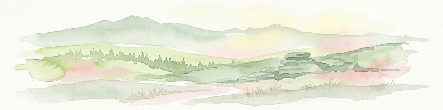
Why Krkonoše National Park stands out

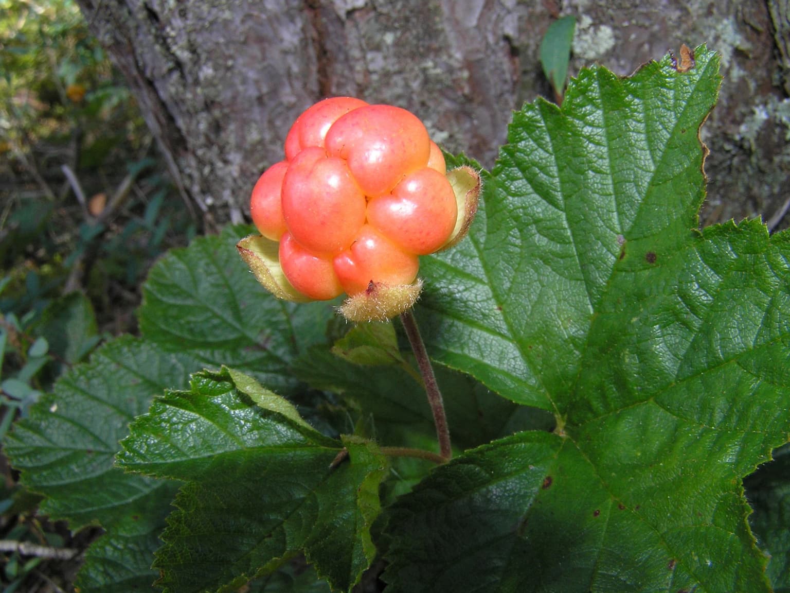
Krkonoše National Park is renowned for its exceptional alpine ecosystems and the presence of glacial relict species found nowhere else in the Czech Republic. The mountain meadows and peat bogs of the subalpine zone support unique plant communities including the snow saxifrage, cloudberry, and the endemic Giant Mountain lousewort. The park's dramatic glacial landscape features the distinctive cirques and rock formations often called the 'Krkonoše botanical gardens' at higher elevations. The area serves as the source of the Elbe River, one of Central Europe's major waterways, and contains significant Ramsar-listed wetland areas.

A small bird with brown and white plumage, black beak, and distinctive white and black markings on its head, standing on rocky ground with sparse green vegetation
Male Northern Lapwing standing on rocky terrain with sparse vegetation

Krkonoše National Park history and protected-area timeline

Nature conservation in the Giant Mountains began in 1952 when several key areas were declared state nature reserves, including Kotelní jámy, Pančavská louka, and Labský důl. These early protected sites were supervised by conservationists from Hradec Králové, among whom Zdeněk Pilous, Jindřich Ambrož, and Josef Šourek became prominent figures in the movement to protect the mountains' unique nature. These pioneering conservationists faced significant challenges, including intense pressure from tourism and economic exploitation of the landscape.

Krkonoše National Park was officially proclaimed on 17 May 1963 through Government Decree No. 41/1963, becoming the Czech Republic's first national park. This came four years after the establishment of the adjacent Karkonosze National Park in Poland (1959). In 1986, the park was expanded to include a protective zone. The park's statutory mission was refined in Government Decree No. 165/1991, emphasizing the preservation and improvement of the natural environment, protection of wild animals and plants, landscape conservation, and sustainable tourism. The legal framework was most recently updated with Act No. 123/2017. In 1992, the Czech and Polish national parks were jointly designated as a UNESCO Biosphere Reserve, and both are now certified transboundary parks under the EUROPARC Federation program.

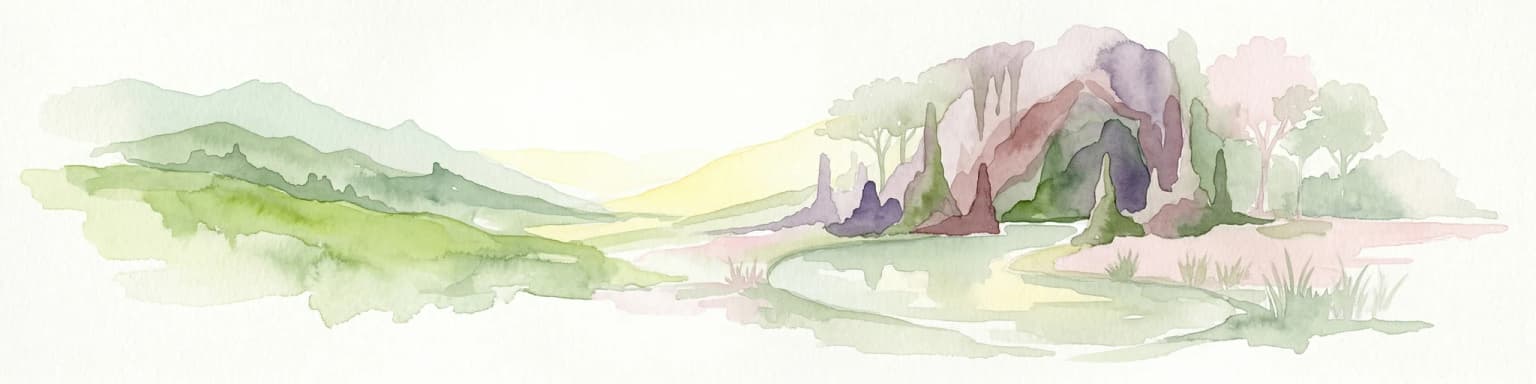
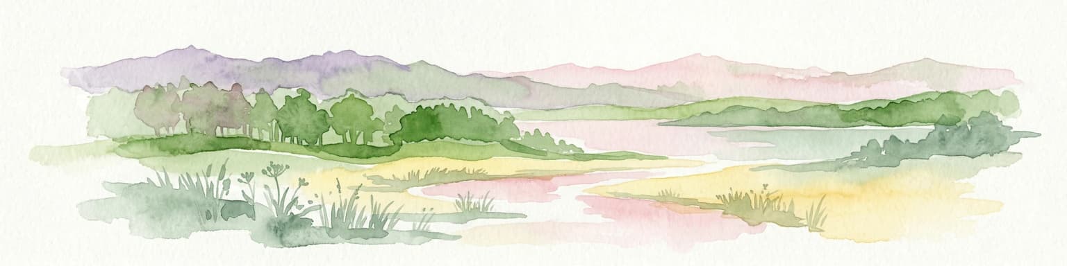
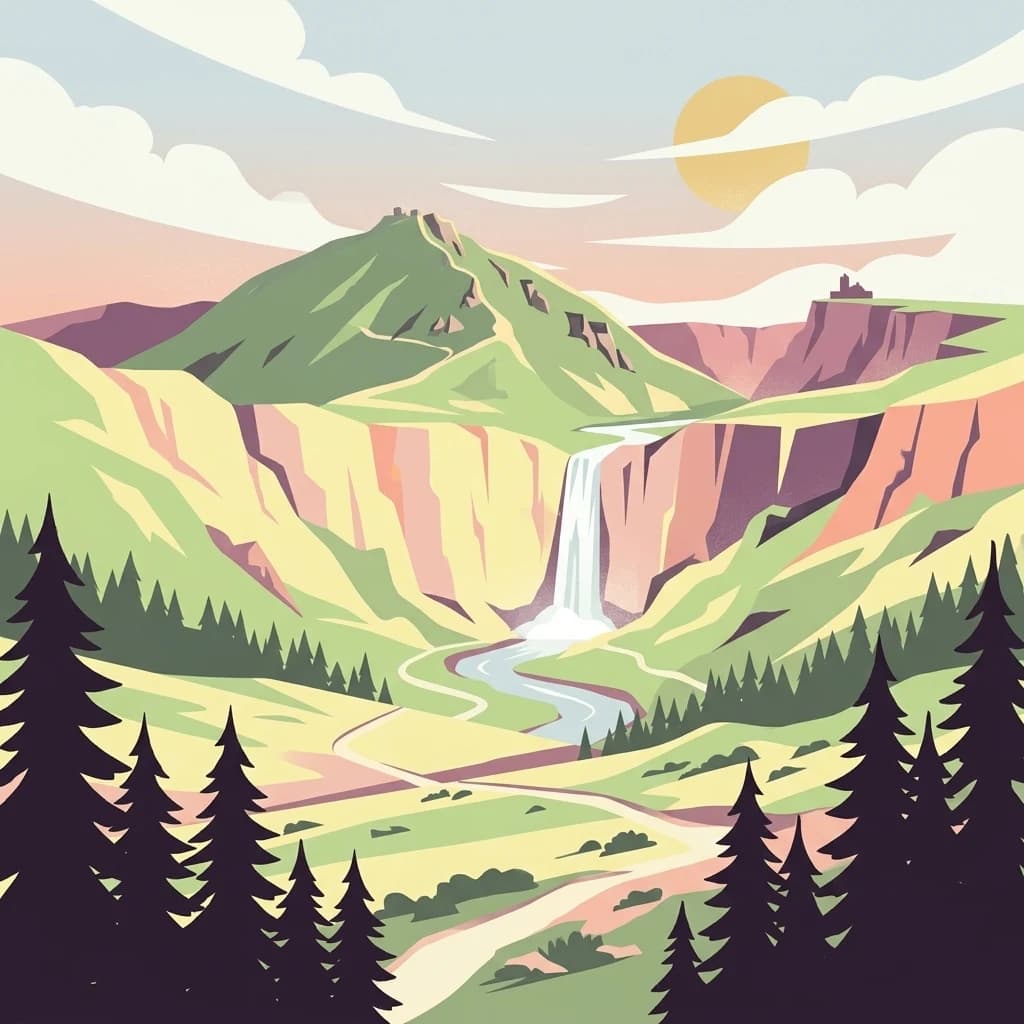
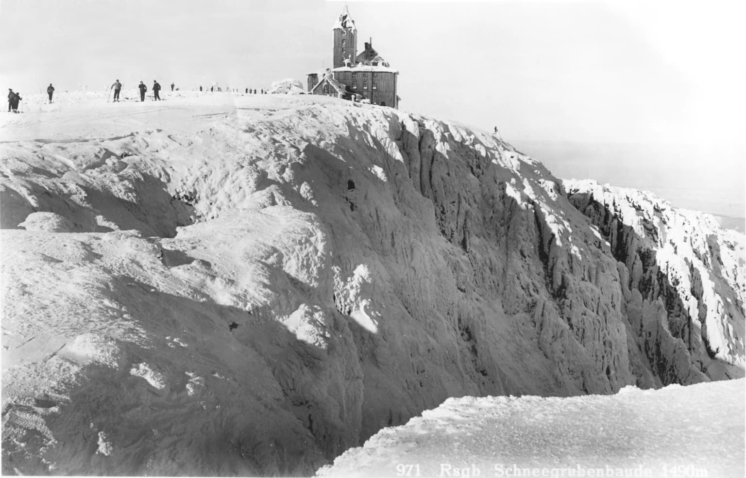
Krkonoše National Park landscape and geographic character

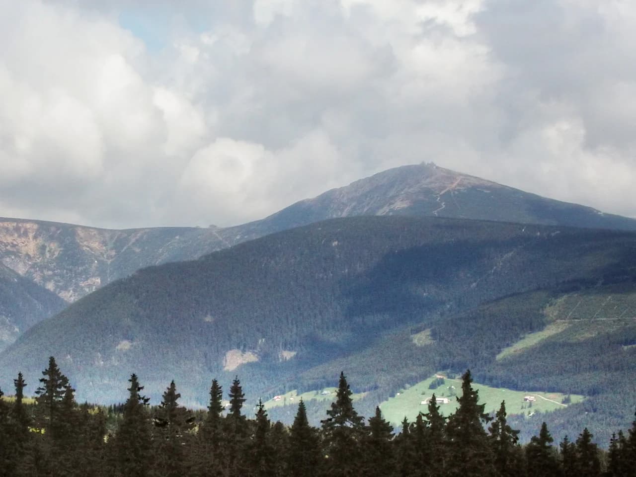
The Krkonoše landscape presents a dramatic alpine environment shaped by millions of years of geological processes and the powerful hand of glacial ice. The main ridge runs from Mrtvý vrch in the west to the western foothills of Sněžka in the east, composed primarily of granitoid rocks of the Krkonoše-Jizera pluton. Contact zones feature gray schists and phyllites, while the eastern region is characterized by gneisses and the western portion by phyllites of the Ponikel group.

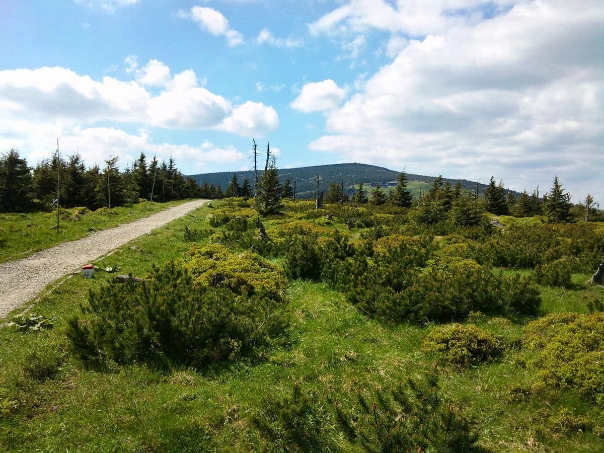
Glacial processes have left an indelible mark on the terrain. Cirques—steep, bowl-shaped depressions carved by glacial ice—dot the upper elevations, their rocky walls and intervening ridges creating the distinctive skyline that defines the Giant Mountains. Glacial valleys radiate outward from the highest peaks, while moraines mark the former extent of ice sheets. At the highest elevations, blockfields (stone seas) of angular boulders represent the frozen ground that persisted long after the glaciers retreated.

The terrain descends through well-defined vegetation zones from the forested lower slopes through the subalpine heathlands to the bare rock and alpine meadows of the summit zone. The park contains several notable waterfalls including Pančava, Elbe, and Mumlava, while the Obří důl valley and the ancient Dvorský les forest represent additional landscape highlights.

Mountain range with Sněžka peak under cloudy sky, forested slopes, and pine trees in foreground
View of Sněžka mountain from Černá hora in Krkonoše National Park

Krkonoše National Park ecosystems, habitats, and plant life

The ecological character of Krkonoše National Park is defined by its remarkable altitudinal zonation and the survival of species from the glacial period. The vegetation progresses through distinct stages as elevation increases: the submontane zone (400-800m) originally featured deciduous and mixed forests of beech, sycamore, rowan, and grey alder, though much has been replaced by spruce monocultures; the montane zone (800-1200m) is dominated by spruce forests; the subalpine zone (1200-1450m) contains the most valuable habitats including immortelle meadows, northern peat bogs, and low-growing heathlands; and the alpine zone (1450-1603m) hosts the richest plant diversity on steep rocky slopes and in glacial cirques.

The park supports approximately 1,200 species of vascular plants and about 300 vertebrate species, with many more spore plants including mosses, ferns, and lichens. Several species are endemic to these mountains, persisting nowhere else on Earth. The high-altitude flora includes numerous glacial relicts—plants that survived the ice ages in these mountain refugia and now represent fragments of the former tundra that covered much of Central Europe.

A close-up of a cloudberry plant with bright orange-red berries and large green leaves against a forest background
Cloudberry (Rubus chamaemorus) in Krkonoše National Park

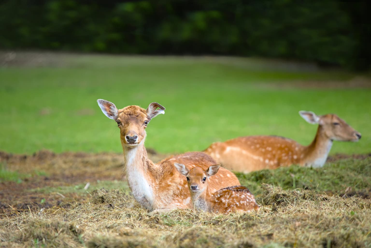
Krkonoše National Park wildlife and species highlights

The fauna of Krkonoše reflects the diverse plant communities and the mountain's position as a biogeographical crossroads between Central European and Alpine species. At lower elevations, Euro-Siberian fauna dominates, while mountain species become increasingly prevalent at higher altitudes. Several invertebrate species are considered glacial relicts, including the ninespine stickleback, northern plait beetle, mountain mayfly, and specific ground beetles and dragonflies.

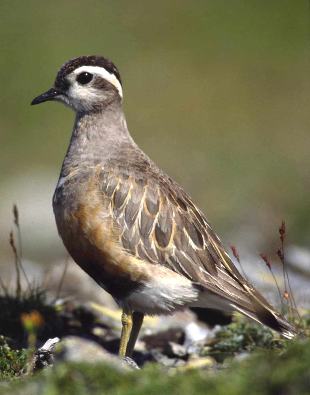
Notable bird species include the ring ouzel, a high-altitude thrush, the bluethroat associated with tundra-like habitats, the Eurasian dotterel nesting in alpine meadows, and the dipper adapted to fast-flowing mountain streams. The region hosts endemic species found nowhere else: the Krkonoše mayfly (Rhithrogena corcontica), a Sudeten variant of the yellow-banded carpet moth, and the Krkonoše spindle snail. These endemics underscore the evolutionary significance of this mountain range as a biodiversity refuge.

A fallow deer doe and fawn lying on grass with green field in background
Fallow deer doe and fawn resting on grass in Krkonoše National Park

Krkonoše National Park conservation status and protection priorities

Krkonoše National Park holds significant conservation importance at multiple levels. The park's peat bogs have been designated as wetlands of international importance under the Ramsar Convention, acknowledging their global significance for biodiversity and water regulation. In 1992, the Czech and Polish protected areas were jointly inscribed into the UNESCO network of Biosphere Reserves, creating the Krkonoše/Karkonosze Transboundary Biosphere Reserve.

The park's IUCN classification as Category V (Protected Landscape) reflects its particular management context—a landscape shaped by centuries of human use that cannot meet the strict wilderness criteria of Category II national parks. Nevertheless, the park implements a zonation system with four care zones (natural, close to nature, concentrated nature care, and cultural landscape) covering different proportions of the territory. "Quiet areas" now regulate visitor movement across 22.2% of the park, restricting access to marked paths in sensitive zones. A 2025 restoration project aims to recover the European silver fir population, which has declined to less than 0.5% of forest composition from a historical level of approximately 15%.

Krkonoše National Park cultural meaning and human context

The Giant Mountains have been inhabited and used by humans for centuries, with traditional mountain settlements and pastoral practices shaping the cultural landscape. The border position of the range has influenced regional identity, and the mountains hold significance in Czech cultural heritage as the setting for folk traditions and regional identity. The management of the park recognizes a cultural landscape zone that acknowledges the historical human presence in these mountains, including traditional land uses that created and maintained the open meadow habitats that now harbor rare species.

Gravel path through grassy terrain with scattered shrubs and trees, distant mountains under blue sky with white clouds.
Gravel path through grassy terrain with scattered shrubs and trees leading toward distant mountains under a partly cloudy sky.

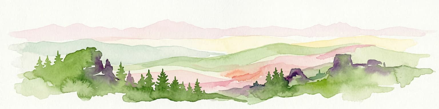
Top sights and standout views in Krkonoše National Park

Krkonoše National Park protects the Czech Republic's highest and most ecologically significant mountain landscape. The park preserves exceptional glacial landforms including cirques, moraines, and blockfields, alongside endemic species and glacial relicts that survived the ice ages in these high-altitude refugia. The transboundary cooperation with Poland's Karkonosze National Park creates one of Central Europe's largest protected mountain ecosystems. Peat bogs of international importance, the source waters of the Elbe River, and the dramatic alpine environment make this park a cornerstone of Czech nature conservation.

Black-and-white photograph of a snow-covered mountain cliff with a small building on the ridge, several people walking along the crest, and a steep drop into a valley below.
Sniezne Kotly in Krkonoše National Park, showing a snow-covered mountain cliff with a small structure on the ridge and people walking along the crest.

Best time to visit Krkonoše National Park

The Krkonoše mountains experience distinct seasons that dramatically shape the visitor experience. Summer months offer the most accessible conditions for hiking through the various vegetation zones, with July and August providing the warmest temperatures at lower elevations. Winter transforms the landscape into a major skiing destination, though the alpine zone experiences extreme conditions with snow cover persisting for up to 180 days on the highest peaks. Spring and autumn bring fewer crowds and the opportunity to experience the changing moods of the mountains, though weather can be highly variable. Temperature inversions during winter and autumn can produce extended periods of fog and trapped cold air in the valleys while summits remain clear.

Park location guide

Geography guide, regional context, and park location map for Krkonoše National Park

Krkonoše National Park park geography, regions, and map view in Czechia
Understand where Krkonoše National Park sits in Czechia through a broader geographic reading of the surrounding landscape, nearby location context, and its mapped position within the national park landscape.

How Krkonoše National Park fits into Czechia

Czech Republic is a landlocked Central European country with a population of approximately 10.9 million people. The nation was established as an independent state on January 1, 1993, following the dissolution of Czechoslovakia. Its capital and largest city is Prague, with other major urban centers including Brno, Ostrava, Plzeň, and Liberec.

Wider geography shaping Krkonoše National Park in Czechia

The Czech Republic is a landlocked country in Central Europe. It is bordered by Germany to the west, Austria to the south, Poland to the northeast, and Slovakia to the southeast. The landscape is predominantly hilly, with the territory covering 78,871 square kilometers.

Map view of Krkonoše National Park

Use this park location map to pinpoint Krkonoše National Park in Czechia, understand its exact geographic position, and read its mapped placement within the surrounding landscape more clearly.

Pigeon | © OpenStreetMap contributors

Location context for Krkonoše National Park

Hradec Králové RegionLiberec Region

Visual Atlas of Krkonoše: Discover the Glacial Terrain, High-Altitude Ecosystems, and Distinctive Protected-Area Views

Krkonoše National Park Photos: Explore Alpine Landscapes, Glacial Scenery, and Mountain Habitats
Browse an immersive gallery of Krkonoše National Park photos to understand its unique glacial landforms, diverse mountain scenery, and critical alpine environments. These images provide essential visual context for tracing the park's dramatic terrain, observing its distinct habitats, and comprehending its protected natural character as part of Central Europe's highest range.

A small bird with brown and white plumage, black beak, and distinctive white and black markings on its head, standing on rocky ground with sparse green vegetation

Purple bell-shaped flowers with green leaves growing among tall grasses

Mountain range with Sněžka peak under cloudy sky, forested slopes, and pine trees in foreground

A close-up of a cloudberry plant with bright orange-red berries and large green leaves against a forest background

A fallow deer doe and fawn lying on grass with green field in background

Close-up of White Butterbur plant with white star-shaped flowers and green stem in forest setting

Gravel path through grassy terrain with scattered shrubs and trees, distant mountains under blue sky with white clouds.

Black-and-white photograph of a snow-covered mountain cliff with a small building on the ridge, several people walking along the crest, and a steep drop into a valley below.

Ferns and a stone path in a forested area

Park atlas

Compare protected landscapes and mapped geography in the surrounding Giant Mountains region.

Explore Other National Parks and Protected Areas Near Krkonoše National Park
Continue discovering national parks and significant protected areas adjacent to Krkonoše National Park, tracing their mapped geography and shared alpine characteristics. This detailed comparison view helps users trace the regional spread of conservation landscapes and highlights similar mountain environments for deeper exploration beyond the Czech Republic.
Watercolor illustration of a mountain range with green hills, pink and yellow sky, and sparse vegetation
National park

Karkonosze National Park: A Premier National Park in Poland's Giant Mountains

Discover alpine terrain and unique glacial landscapes.

Karkonosze National Park is a significant protected area in Poland, renowned for its dramatic alpine topography carved by ancient glaciers. As the highest range in the Polish Sudetes, it features striking U-shaped valleys, U-shaped glacial cirques, and diverse subalpine to alpine ecosystems. This national park provides a rich context for understanding Central European mountain geography and exploring its mapped protected boundaries.

IUCN
II
Relief
Mountain
Scope
Terrestrial
Watercolor painting showing a river, grassy banks, scattered trees, and distant hills
Protected landscape

Bohemian Paradise Protected Landscape: Discover Czech Republic's Sandstone Geology and Park Boundaries

Mapped sandstone formations and historic regional geography.

Delve into Bohemian Paradise, a protected landscape in the Czech Republic celebrated for its dramatic sandstone rock formations and ancient castles. This detailed entry provides context on its unique geological character, the extent of its protected boundaries, and its significant position within the regional geography. Explore the mapped terrain and understand the atlas value of this historic protected area.

Area
181.17 km²
Established
1955
IUCN
V
Relief
Upland
Watercolor artwork depicting a landscape with green hills, distant mountains, and pastel sky
National parkLower Silesian Voivodeship

Stołowe Mountains National Park: Explore Poland's Sandstone Rock Cities and Protected Terrain

National Park in Lower Silesian Voivodeship: Geological Wonders.

Stołowe Mountains National Park is a protected national park in Poland celebrated for its unparalleled sandstone geological features. Within the Lower Silesian Voivodeship, the park showcases a dramatic landscape dominated by flat-topped rock plateaus, natural labyrinths, and vertical sandstone formations that create a visually stunning and geologically significant environment. Its protected status ensures the preservation of these unique landforms and the rare ecosystems, such as raised peat bogs, offering extensive opportunities for atlas exploration and understanding the region's distinct natural context.

Area
63.39 km²
Established
1993
IUCN
II
Visitors
1.3M annual
Watercolor painting showing a landscape with green hills, trees, and a river winding through the scene
National park

Saxon Switzerland National Park: Protected Area Geography and Map Exploration

Discover its mapped boundaries and regional landscape context.

Saxon Switzerland National Park, a protected national park in Germany, offers a distinct focus for geographic and atlas-based discovery. This page details the park's specific protected landscape, its mapped boundaries, and its contribution to the regional geography. MoriAtlas allows for in-depth exploration of such natural areas, providing essential context for understanding their place within broader natural systems and mapped terrains.

Area
93.5 km²
Established
1990
IUCN
II
Visitors
1.7M annual
Watercolor illustration of rolling green hills, forests, and distant mountains
National park

Bohemian Switzerland National Park: Czech Sandstone Protected Landscape and Map Exploration

Discover its unique terrain and protected area geography.

Bohemian Switzerland National Park is a protected area in the Czech Republic known for its exceptional sandstone geology. This national park showcases a dramatic landscape of towering rock formations, deep gorges, and striking canyons, forming a significant part of the Elbe Sandstone Mountains. Through MoriAtlas, users can explore its mapped protected boundaries, understand its regional geographic context, and appreciate its unique natural heritage.

Area
79 km²
Established
2000
IUCN
II
Relief
Mixed relief
Watercolor illustration of a karst landscape featuring hills, a lake, and cave-like rock formations with green vegetation
Protected landscapeSouth Moravian Region

Moravian Karst Protected Landscape: Detailed Geographic and Cave System Atlas

Mapped protected boundaries and karst phenomena in the South Moravian Region.

Moravian Karst, designated a Protected Landscape Area, offers a profound look into complex karst geology within the South Moravian Region. This entry within MoriAtlas facilitates a structured discovery of its approximately 92 square kilometers, featuring an intricate network of over 1,100 caves and gorges. Users can explore the mapped extent of this geological treasure, understand its relationship with the surrounding regional geography, and appreciate the unique formations sculpted by underground water systems, including the iconic Macocha Abyss.

Area
92 km²
IUCN
V
Scope
Terrestrial
Water
Minor water
Watercolor painting of a landscape with hills, a lake, and forested areas
National park

Wielkopolska National Park: Poland's Glacial Landscape and Lake District Protected Area

Explore the mapped terrain and protected landscape.

Wielkopolska National Park is a vital protected landscape in western Poland, notable for its characteristic post-glacial terrain. Featuring a landscape defined by numerous kettle lakes nestled within mixed forests and gently rolling hills, this national park offers a representative sample of the Greater Poland lake district's natural heritage. Its mapped boundaries delineate an area of ecological importance, providing valuable context for understanding regional geography and protected area distribution through structured atlas exploration.

IUCN
II
Watercolor illustration showing a winding river through rolling hills with trees
National parkSouth Moravian Region

Podyjí National Park: Explore Czech Republic's Intact River Canyon Ecosystem

Mapped Boundaries and Protected Landscape of South Moravia

Podyjí National Park, situated in the South Moravian Region, offers a profound look into one of Central Europe's most ecologically preserved river valleys. This national park is defined by its dramatic 220-meter deep Dyje River canyon, featuring rocky cliffs, stone seas, and a rich mosaic of forest and steppe habitats. MoriAtlas provides structured geographic information to analyze its unique landscape context, biodiversity, and role as a protected natural area within the Czech atlas.

Area
63 km²
Established
1991
IUCN
II
Relief
Upland

Common questions about visiting, size, designation, and location context for Krkonoše National Park

Krkonoše National Park FAQs for park facts, access, geography, and protected area context
Find quick answers about Krkonoše National Park, including protected-area facts, park geography, trail and visitor context, and how the park fits into its surrounding country and regional landscape.
MoriAtlas Explorer

Continue Your Protected Areas Search Across the Global Atlas

Deepen your exploration by continuing the structured search for national parks and protected areas worldwide. Utilize the comprehensive filtering capabilities to compare different conservation landscapes and refine your understanding of global park geography. Discover more about the distribution and characteristics of protected natural areas.

Global natural geography