Mori Atlas logo
National parkWielkopolska National Park

Discover the mapped boundaries and natural geography of this key national park in Poland.

Wielkopolska National Park: Protected Landscape with Glacial Terrain and Lake Districts

Wielkopolska National Park represents a significant protected area in western Poland, showcasing a distinctive post-glacial landscape shaped by Ice Age processes. This national park encompasses a rich mosaic of mixed forests, numerous kettle lakes, and undulating terrain, offering a unique glimpse into the natural heritage of the Greater Poland region. As a key component of Poland's protected lands, it provides a valuable geographic context for understanding regional terrain and landscape evolution through its mapped boundaries and ecological significance.

National ParkPolandForest LandscapeLake DistrictGlacial TerrainWestern Poland

Wielkopolska National Park

National park

Park overview

Structured park overview, official facts, and landscape profile for Wielkopolska National Park

Wielkopolska National Park park facts, protected area profile, and essential visitor context
Review the core facts for Wielkopolska National Park, including designation, size, terrain, visitor scale, habitats, and operating context in one park-focused overview.

About Wielkopolska National Park

Wielkopolska National Park protects a representative portion of the Greater Poland lake district, one of Poland's most distinctive post-glacial landscapes. The terrain consists of gently rolling hills, kettle depressions, and meltwater valleys formed during the Weichselian glaciation. These glacial deposits created a landscape of lakes, peat bogs, and forested ridges that characterizes much of western Poland. The park's forests, primarily mixed pine and deciduous woodlands, grow on sandy soils that dominate the region. Several small lakes dot the park's terrain, some with associated wetland margins and reed beds. The protected area serves as a green lung for the Poznań metropolitan area while preserving traditional Wielkopolska landscape character. The park maintains a network of hiking trails that allow visitors to explore its lakes, forests, and observation points. Management focuses on preserving the natural landscape while providing educational and recreational opportunities that connect visitors with the region's ecological heritage.

Quick facts and research context for Wielkopolska National Park

Wielkopolska National Park is situated in the Greater Poland region of western Poland, approximately 15 kilometers south of Poznań. The park protects a post-glacial landscape of forested lake districts, with terrain shaped by glacial meltwater processes. It was established in 1957 and covers an area representing the ecological character of the Wielkopolska lake district. The protected area includes mixed forests, numerous small lakes, and wetland habitats typical of this part of Poland.

Park context

Deeper park guide and search-rich context for Wielkopolska National Park

Wielkopolska National Park history, landscape, wildlife, and travel context
Explore Wielkopolska National Park through its history, landscape character, ecosystems, wildlife, conservation priorities, cultural context, and seasonal travel timing in a structured park guide built for atlas discovery and search intent.

Why Wielkopolska National Park stands out

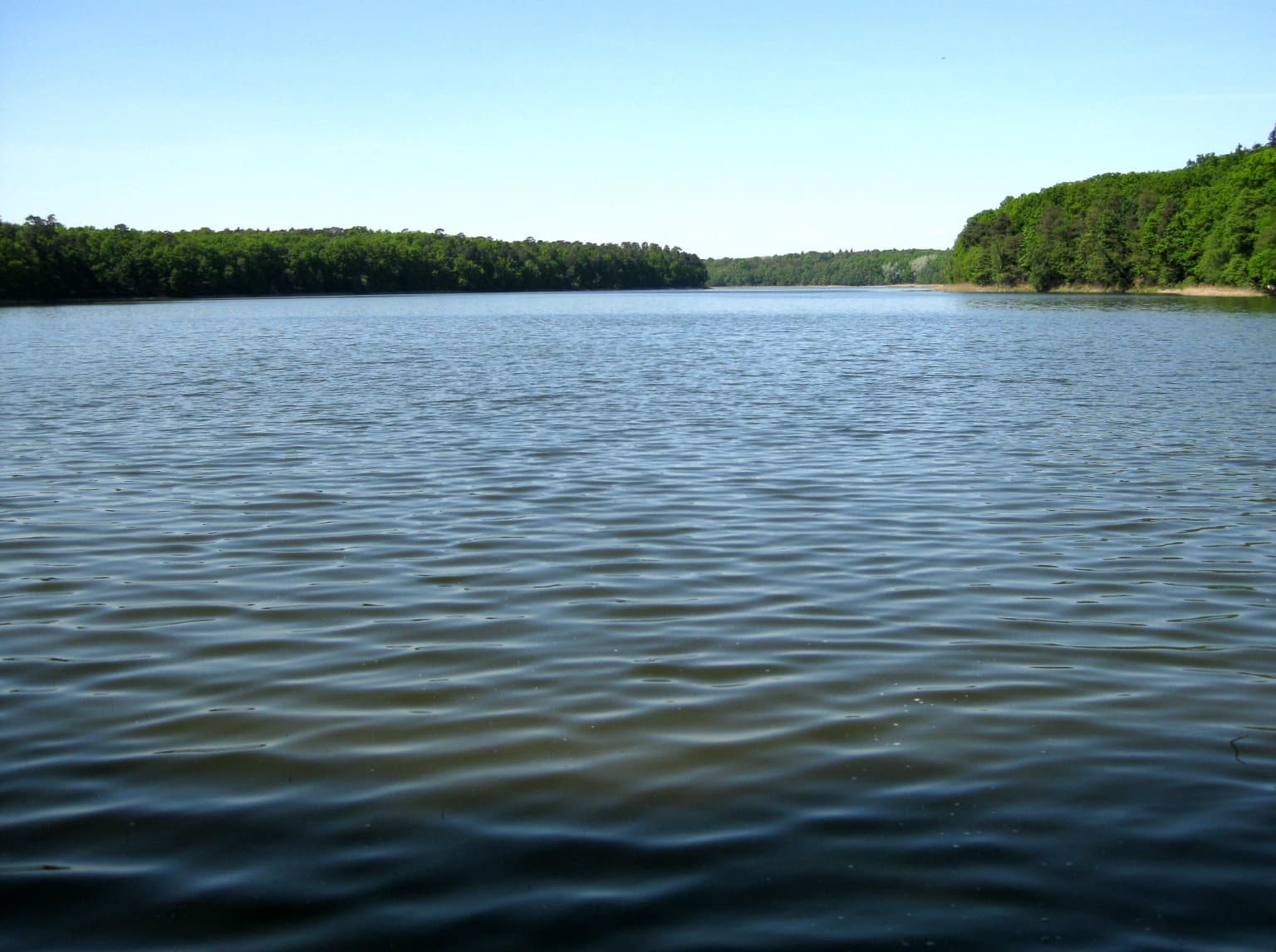
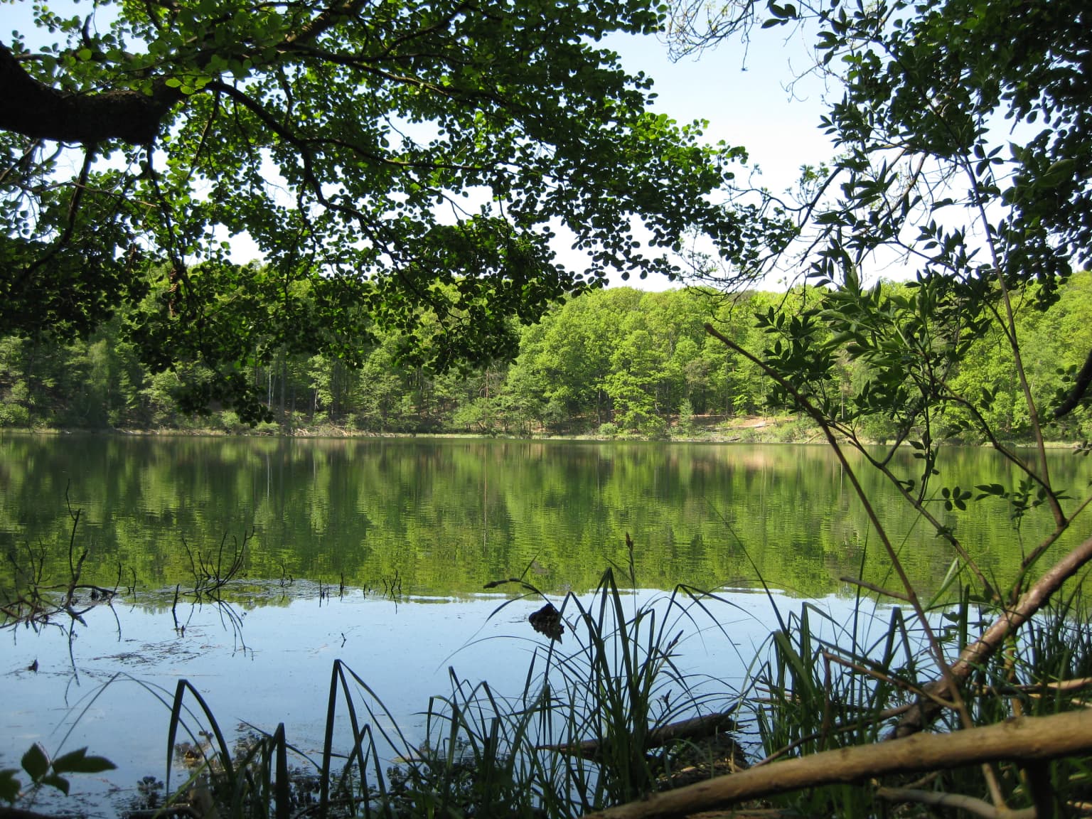
The park is best known for its post-glacial lake district landscape, with numerous kettle lakes embedded within forested terrain. The area represents the ecological character of Greater Poland's lake country, featuring mature forests, wetland complexes, and the characteristic undulating topography left by glacial processes. Its proximity to Poznań makes it an important green space for the region's population.

Wielkopolska National Park history and protected-area timeline

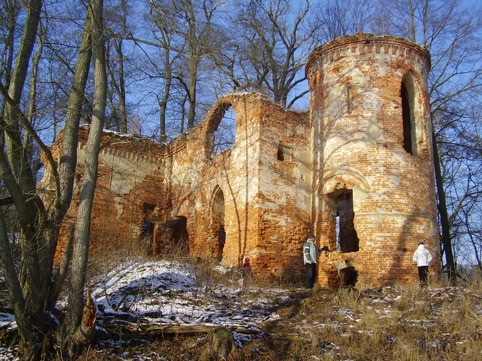
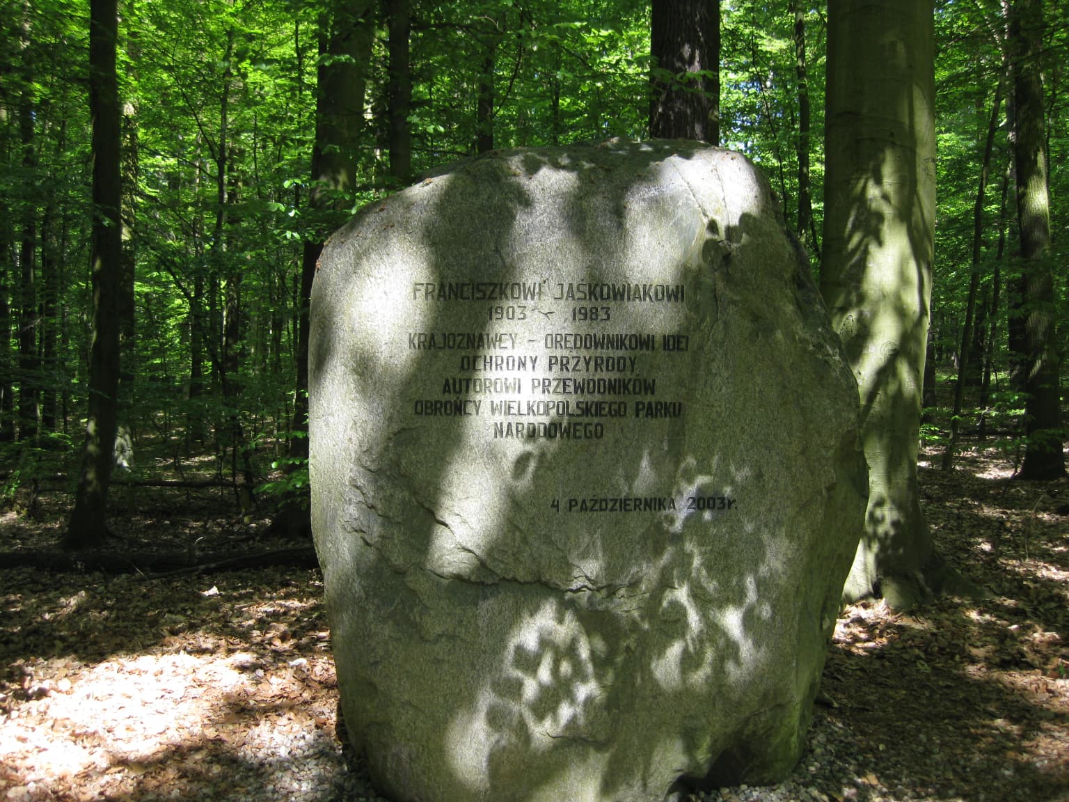
Wielkopolska National Park was established in 1957 as one of Poland's later-founded national parks. The creation of the park reflected post-war interest in preserving representative examples of Poland's natural heritage, particularly in regions where intensive agriculture had altered traditional landscapes. The park was named for the Wielkopolska (Greater Poland) region, an area with deep historical significance in Polish state formation and cultural identity. Initial protection focused on the forested lake landscape that remained relatively intact despite agricultural pressure on surrounding lands. Over subsequent decades, the park expanded its conservation mission to include ecological monitoring, environmental education, and visitor services. The park's establishment also served to protect archaeological and historical sites within its boundaries, including traces of human settlement in the region dating to medieval periods.

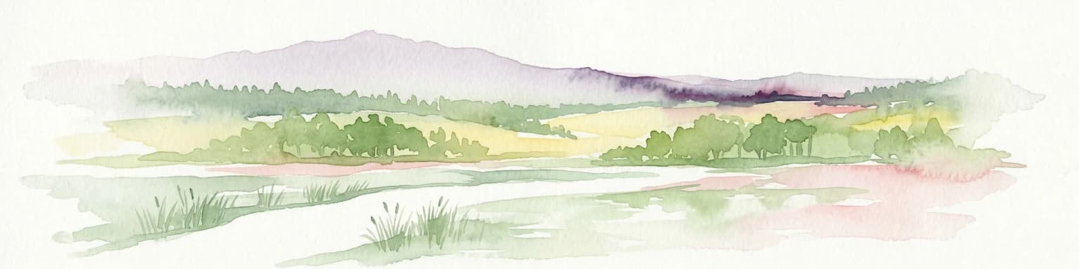
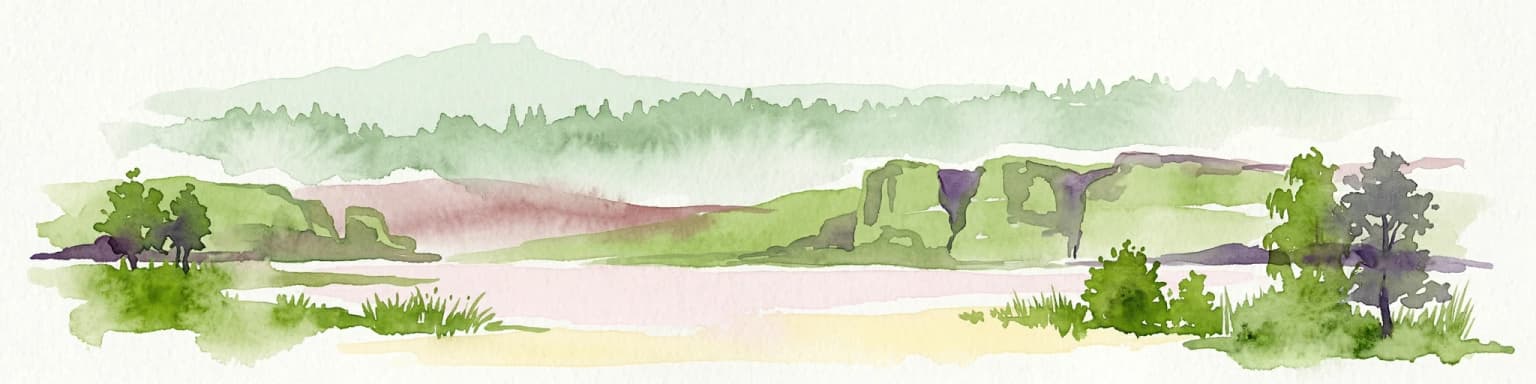
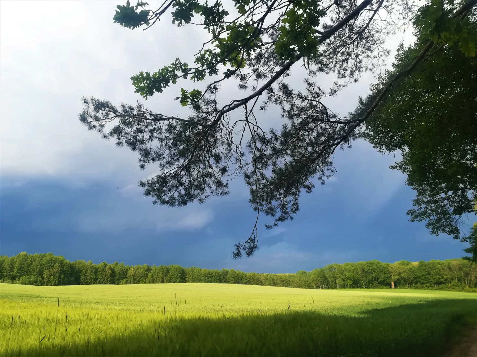
Wielkopolska National Park landscape and geographic character

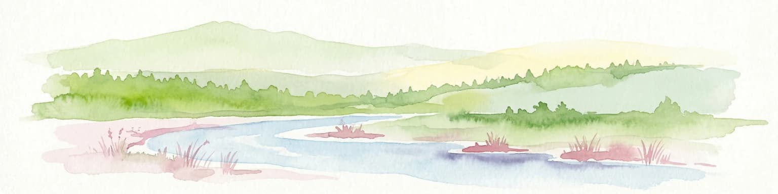
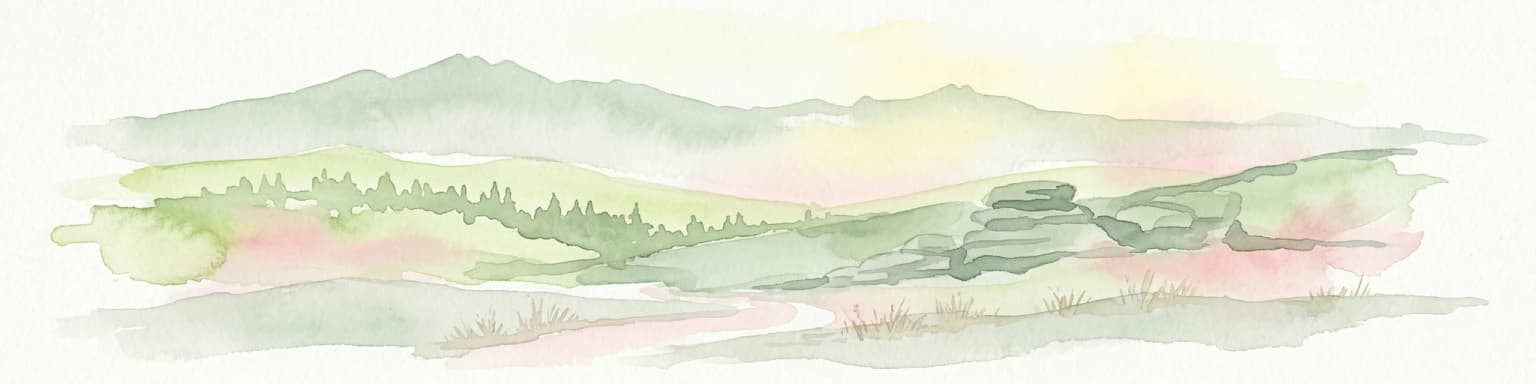
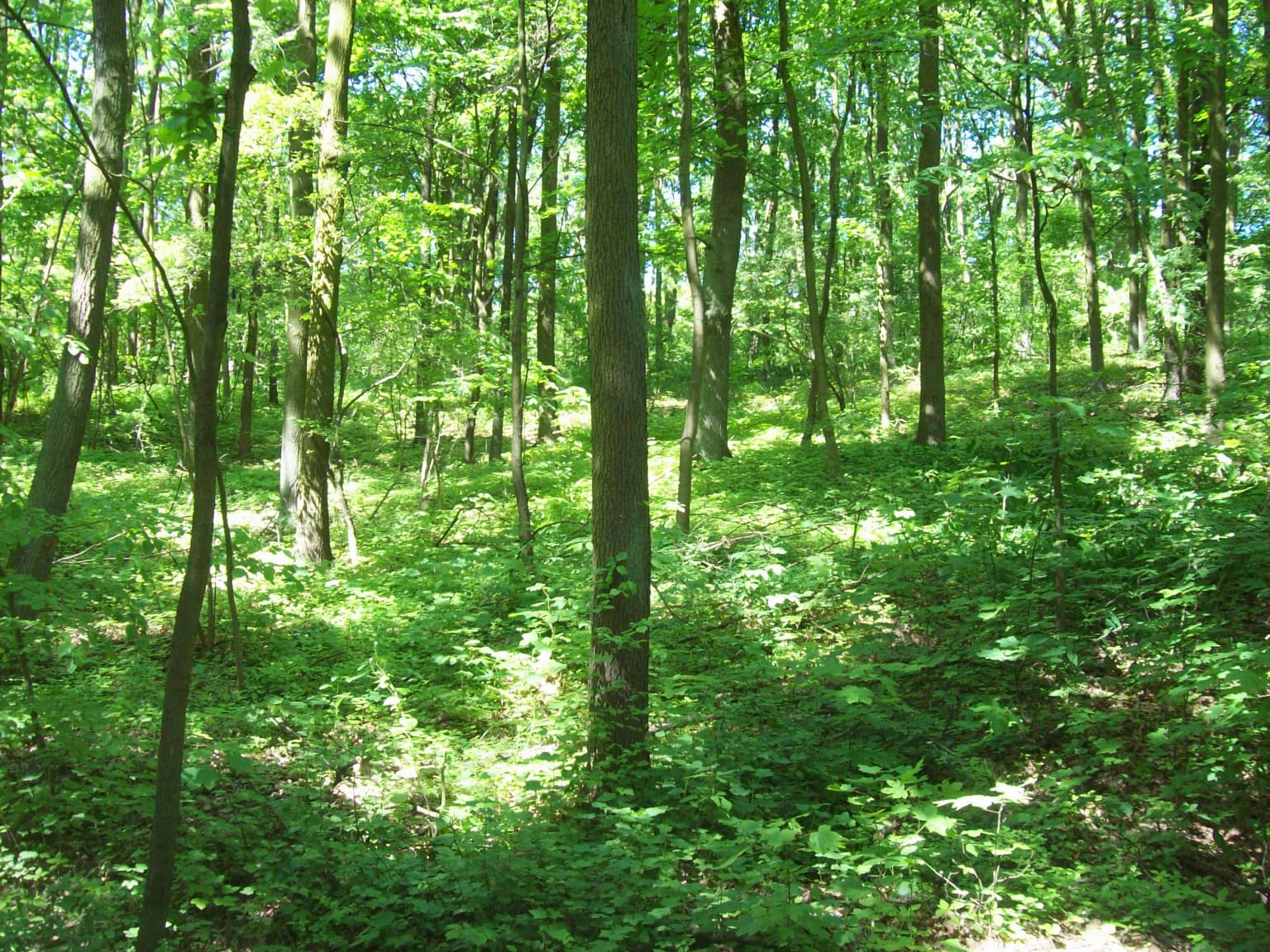
The park's landscape reflects its glacial origins, with a terrain of gentle hills, lake-filled depressions, and sandy outwash plains. The characteristic kettles and eskers typical of post-glacial topography create a varied topography within the park's boundaries. Mixed forests cover much of the area, with pine-dominated stands on drier sites and deciduous woodlands in wetter valleys and lake margins. Small lakes, some quite shallow, occur throughout the park, often surrounded by reed beds and wet meadows. The landscape maintains a relatively natural character compared to the heavily agricultural surrounding lowlands, making it an ecological island of preserved natural habitat.

Wielkopolska National Park ecosystems, habitats, and plant life

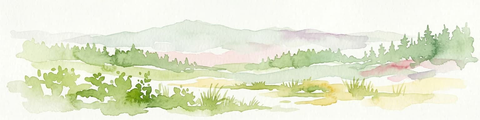
The park's ecological character is defined by its mosaic of forest types, lake ecosystems, and wetland habitats. Coniferous and mixed forests dominate the woodland cover, with species including Scots pine, Norway spruce, oak, beech, and birch occurring across the park. The lakes support aquatic vegetation and provide breeding habitat for water birds, while adjacent wetlands feature characteristic plant communities including sedge beds, reed marshes, and peat-forming vegetation. The forest interiors provide habitat for numerous bird species and medium-sized mammals. The protected area represents a fragment of the once-extensive forest cover that characterized the Wielkopolska region before agricultural expansion.

Wielkopolska National Park wildlife and species highlights

The park supports wildlife populations typical of Polish lowland forests and lake districts. Bird species associated with forest habitats, including various tit species, woodpeckers, and thrushes, breed in the woodland areas. Wetland areas and lakes provide nesting habitat for water birds including grebes, ducks, and herons. Mammal populations include roe deer, red deer, and wild boar in the forest areas, with smaller mammals such as red foxes, hares, and various rodent species present throughout the park. The lakes support fish populations and provide feeding grounds for bats and insectivorous birds.

Wielkopolska National Park conservation status and protection priorities

Wielkopolska National Park serves as a protected refuge for the region's post-glacial landscape and associated biodiversity. The protected status helps preserve forest ecosystems, lake habitats, and wetland complexes that would otherwise face pressure from agriculture and development. The park contributes to the broader conservation network in western Poland, connecting with other protected areas in the lake district. Management activities focus on maintaining natural processes, protecting water quality in the park's lakes, and preserving the landscape's characteristic appearance. Environmental education programs communicate the park's ecological values to visitors and local communities.

Wielkopolska National Park cultural meaning and human context

The park is situated in the historic Greater Poland region, an area central to Polish state formation and national identity. The region's name (Wielkopolska means "Great Poland") reflects its historical significance as the heartland of early Polish statehood. The landscape surrounding the park reflects centuries of agricultural use and settlement, though the park itself preserves a more natural character. The protected area lies within a landscape that has been shaped by human activity while retaining ecological value, representing a balance between cultural landscape and natural heritage.

Top sights and standout views in Wielkopolska National Park

The park's main attractions include its network of glacial lakes surrounded by forests, walking trails through varied terrain, and the opportunity to experience the natural heritage of Greater Poland. Several marked trails of varying difficulty allow exploration of the park's key landscapes, including lake shores, forest paths, and panoramic viewpoints. The park's proximity to Poznań makes it accessible for day visits while maintaining a natural character distinct from the urban environment. Educational facilities and visitor information help explain the park's geology, ecology, and cultural context.

Best time to visit Wielkopolska National Park

The park can be visited throughout the year, with each season offering different experiences. Spring and summer provide the best conditions for hiking and observing wildlife active during the warmer months. Autumn offers colorful forest scenery as deciduous trees change color, while winter provides a quieter, more austere landscape suitable for walking on maintained trails. The shoulder seasons of spring and autumn generally offer comfortable temperatures and fewer visitors compared to peak summer periods.

Park location guide

Geography guide, regional context, and park location map for Wielkopolska National Park

Wielkopolska National Park park geography, regions, and map view in Poland
Understand where Wielkopolska National Park sits in Poland through a broader geographic reading of the surrounding landscape, nearby location context, and its mapped position within the national park landscape.

How Wielkopolska National Park fits into Poland

Poland, officially the Republic of Poland, is a Central European country spanning from the Baltic Sea in the north to the Carpathian Mountains in the south. It borders Germany, Czech Republic, Slovakia, Ukraine, Belarus, Lithuania, and Kaliningrad Oblast. The country has a temperate climate, diverse landscapes, and is known for its rich history, cultural heritage, and strong economic position within the EU.

Wider geography shaping Wielkopolska National Park in Poland

Poland occupies 312,696 km2 in Central Europe, extending from the Baltic Sea coast in the north to the Sudetes and Carpathian Mountains in the south. It borders Germany to the west, Czech Republic and Slovakia to the south, Ukraine and Belarus to the east, and Lithuania and Kaliningrad Oblast to the northeast. The landscape includes lowland plains, uplands, and mountain ranges.

Map view of Wielkopolska National Park

Use this park location map to pinpoint Wielkopolska National Park in Poland, understand its exact geographic position, and read its mapped placement within the surrounding landscape more clearly.

Pigeon | © OpenStreetMap contributors

Location context for Wielkopolska National Park

Wielkopolska
Park atlas

Explore connected protected areas and regional park geography around Wielkopolska National Park.

Explore Other National Parks and Protected Areas Near Wielkopolska National Park
After exploring Wielkopolska National Park's distinctive post-glacial forests and lake districts, browse a curated list of nearby protected areas, national parks, and other conservation landscapes across western Poland. This geographic view allows for direct comparison of similar glacial terrains, regional ecosystems, and park characteristics, enhancing your atlas-style understanding of Poland's natural heritage.
Watercolor painting depicting a river flowing through a forested landscape with hills in the background
National parkWest Pomeranian Voivodeship

Drawa National Park: Protected Landscape and River Geography in West Pomeranian Voivodeship

Explore Poland's unique lowland river and ancient forest protected area.

Drawa National Park stands as a vital protected area within West Pomeranian Voivodeship, Poland, celebrated for its exceptional natural geography. The park's core feature is the Drawa River, which carves a distinctive path with fast-flowing currents and deep valleys, presenting a landscape more akin to mountain streams than typical lowland waterways. This area protects one of Poland's most valuable lowland river corridors, featuring ancient beech and oak forests, the rare meromictic Lake Czarne, and diverse wetland habitats. MoriAtlas facilitates structured exploration of Drawa National Park's mapped terrain and protected landscape identity.

Area
115.36 km²
Established
1990
IUCN
II
Visitors
27K annual
Watercolor painting of a river flowing through a forested area with colorful fields
National parkPomeranian Voivodeship

Tuchola Forest National Park: Explore Poland's Largest Protected Woodland and Glacial Lakes

Detailed maps and geographic context of unique forest ecosystems and terrain.

MoriAtlas offers a comprehensive geographic overview of Tuchola Forest National Park, a vital protected area in Pomeranian Voivodeship, Poland. This page delves into the park's identity as Poland's largest contiguous forest, distinguished by its post-glacial landscape. Users can explore the mapped boundaries of its extensive coniferous forests, numerous interconnected glacial lakes, dynamic dunes, and ecologically rich peatlands. It serves as a key entry point for understanding the park's unique terrain and its significant place within the broader regional geography and protected lands atlas.

Area
46.13 km²
Established
1996
IUCN
II
Visitors
33K annual
Watercolor illustration showing a river winding through rolling green hills with sparse vegetation
National parkLubusz Voivodeship

Warta Mouth National Park: A National Park Protecting Vital European Wetlands

Explore mapped protected areas and bird habitats in Lubusz Voivodeship.

Warta Mouth National Park, located in Poland's Lubusz Voivodeship, is a significant protected landscape safeguarding the ecologically rich confluence of the Warta and Oder rivers. As the nation's most recently established national park, it provides critical habitat for a vast array of migratory and breeding bird species within its extensive marshlands and floodplains. This park offers a unique opportunity for atlas-driven exploration of Central European wetland geography and the mapped boundaries of a vital conservation area.

Area
80.38 km²
Established
2001
IUCN
II
Visitors
52K annual
Watercolor painting depicting a river flowing through a valley with green vegetation and distant mountains
National parkBrandenburg

Lower Oder Valley National Park: Unique Polder Landscape and Bird Sanctuary

Discover protected area maps and regional geography in Brandenburg

Delve into the Lower Oder Valley National Park, a national park recognized for its extraordinary polder landscape and extensive wetland ecosystems. This page provides detailed geographic context, highlighting the park's unique engineered floodplain, its role as a sanctuary for numerous bird species, and its position within the regional geography of Brandenburg. Understand the mapped boundaries and ecological importance of this exceptional protected area.

Area
103.23 km²
Established
1995
IUCN
II
Visitors
150K annual
Protected landscape

Bohemian Paradise Protected Landscape: Discover Czech Republic's Sandstone Geology and Park Boundaries

Mapped sandstone formations and historic regional geography.

Delve into Bohemian Paradise, a protected landscape in the Czech Republic celebrated for its dramatic sandstone rock formations and ancient castles. This detailed entry provides context on its unique geological character, the extent of its protected boundaries, and its significant position within the regional geography. Explore the mapped terrain and understand the atlas value of this historic protected area.

Area
181.17 km²
Established
1955
IUCN
V
Relief
Upland
Watercolor artwork depicting a landscape with green hills, distant mountains, and pastel sky
National parkLower Silesian Voivodeship

Stołowe Mountains National Park: Explore Poland's Sandstone Rock Cities and Protected Terrain

National Park in Lower Silesian Voivodeship: Geological Wonders.

Stołowe Mountains National Park is a protected national park in Poland celebrated for its unparalleled sandstone geological features. Within the Lower Silesian Voivodeship, the park showcases a dramatic landscape dominated by flat-topped rock plateaus, natural labyrinths, and vertical sandstone formations that create a visually stunning and geologically significant environment. Its protected status ensures the preservation of these unique landforms and the rare ecosystems, such as raised peat bogs, offering extensive opportunities for atlas exploration and understanding the region's distinct natural context.

Area
63.39 km²
Established
1993
IUCN
II
Visitors
1.3M annual
Watercolor painting showing a landscape with green hills, trees, and a river winding through the scene
National park

Saxon Switzerland National Park: Protected Area Geography and Map Exploration

Discover its mapped boundaries and regional landscape context.

Saxon Switzerland National Park, a protected national park in Germany, offers a distinct focus for geographic and atlas-based discovery. This page details the park's specific protected landscape, its mapped boundaries, and its contribution to the regional geography. MoriAtlas allows for in-depth exploration of such natural areas, providing essential context for understanding their place within broader natural systems and mapped terrains.

Area
93.5 km²
Established
1990
IUCN
II
Visitors
1.7M annual
National park

Bohemian Switzerland National Park: Czech Sandstone Protected Landscape and Map Exploration

Discover its unique terrain and protected area geography.

Bohemian Switzerland National Park is a protected area in the Czech Republic known for its exceptional sandstone geology. This national park showcases a dramatic landscape of towering rock formations, deep gorges, and striking canyons, forming a significant part of the Elbe Sandstone Mountains. Through MoriAtlas, users can explore its mapped protected boundaries, understand its regional geographic context, and appreciate its unique natural heritage.

Area
79 km²
Established
2000
IUCN
II
Relief
Mixed relief

Common questions about visiting, size, designation, and location context for Wielkopolska National Park

Wielkopolska National Park FAQs for park facts, access, geography, and protected area context
Find quick answers about Wielkopolska National Park, including protected-area facts, park geography, trail and visitor context, and how the park fits into its surrounding country and regional landscape.
MoriAtlas Explorer

Continue Your Protected Areas Search Across the Global Atlas

Deepen your exploration by continuing the structured search for national parks and protected areas worldwide. Utilize the comprehensive filtering capabilities to compare different conservation landscapes and refine your understanding of global park geography. Discover more about the distribution and characteristics of protected natural areas.

Global natural geography