Mori Atlas logo
National parkBohemian Switzerland National Park

Discover its mapped boundaries, dramatic rock formations, and regional geographic context.

Bohemian Switzerland National Park: A Protected Sandstone Landscape in the Czech Republic

(Národní park České Švýcarsko)

Bohemian Switzerland National Park, established in 2000, safeguards an extraordinary sandstone wilderness across 79 square kilometers in the northwestern Czech Republic. This protected area, part of the larger Elbe Sandstone Mountains, is defined by its towering cliffs, deep canyon-like valleys, and iconic rock formations. As a national park, it represents a significant component of Europe's mapped protected lands, offering a unique lens through which to explore regional geography and landscape context.

National ParkSandstone FormationsRock GorgesCzech RepublicElbe Sandstone MountainsNature Reserves

Bohemian Switzerland National Park

National park

Park overview

Structured park overview, official facts, and landscape profile for Bohemian Switzerland National Park

Bohemian Switzerland National Park park facts, protected area profile, and essential visitor context
Review the core facts for Bohemian Switzerland National Park, including designation, size, terrain, visitor scale, habitats, and operating context in one park-focused overview.

About Bohemian Switzerland National Park

Bohemian Switzerland National Park protects one of Central Europe's most distinctive landscapes, a region of dramatic sandstone terrain that draws its character from tens of millions of years of geological evolution. The park encompasses the Czech portion of the Elbe Sandstone Mountains, a geological formation created during the Late Cretaceous period when sands settled on the floor of an ancient sea approximately 100 million years ago. Subsequent tectonic activity during the Tertiary period fractured the massive sandstone plateau, and erosion over millions of years carved the deep canyon-like valleys, wild ravines, and towering rock walls that define the landscape today. The park reaches its highest elevation at Růžovský vrch, a volcanic basalt intrusion that rises 619 meters above sea level, contrasting with the surrounding sandstone terrain. The Kamenice River and its tributaries have carved spectacular gorges through the sandstone, creating the narrow, steep-walled ravines that are among the park's most impressive features. The park also contains remnants of medieval rock castles, including Šaunštejn and Falkenštejn, built by robber barons to control historic trade routes through the region. The area first attracted large numbers of tourists in the second half of the 19th century, when Romantic artists were drawn to the wild beauty of the landscape, establishing the region as a destination for nature appreciation and artistic inspiration.

Quick facts and research context for Bohemian Switzerland National Park

Bohemian Switzerland National Park protects a distinctive sandstone landscape in the Czech Republic's northwest, established in 2000. The park spans approximately 79 square kilometers within the Elbe Sandstone Mountains, with its highest point at Růžovský vrch (619 meters). The protected area shares a border with Saxon Switzerland National Park in Germany, forming the transboundary region known as Saxon-Bohemian Switzerland. The landscape features deep gorges carved by the Kamenice River, towering rock walls, and the famous Pravčická brána, Europe's largest natural sandstone arch. Prior to national park status, the area was protected as a Protected Landscape Area since 1972.

Park context

Deeper park guide and search-rich context for Bohemian Switzerland National Park

Bohemian Switzerland National Park history, landscape, wildlife, and travel context
Explore Bohemian Switzerland National Park through its history, landscape character, ecosystems, wildlife, conservation priorities, cultural context, and seasonal travel timing in a structured park guide built for atlas discovery and search intent.

Why Bohemian Switzerland National Park stands out

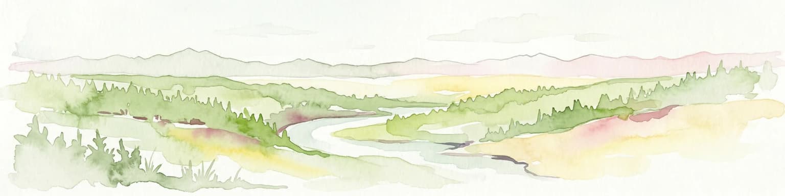
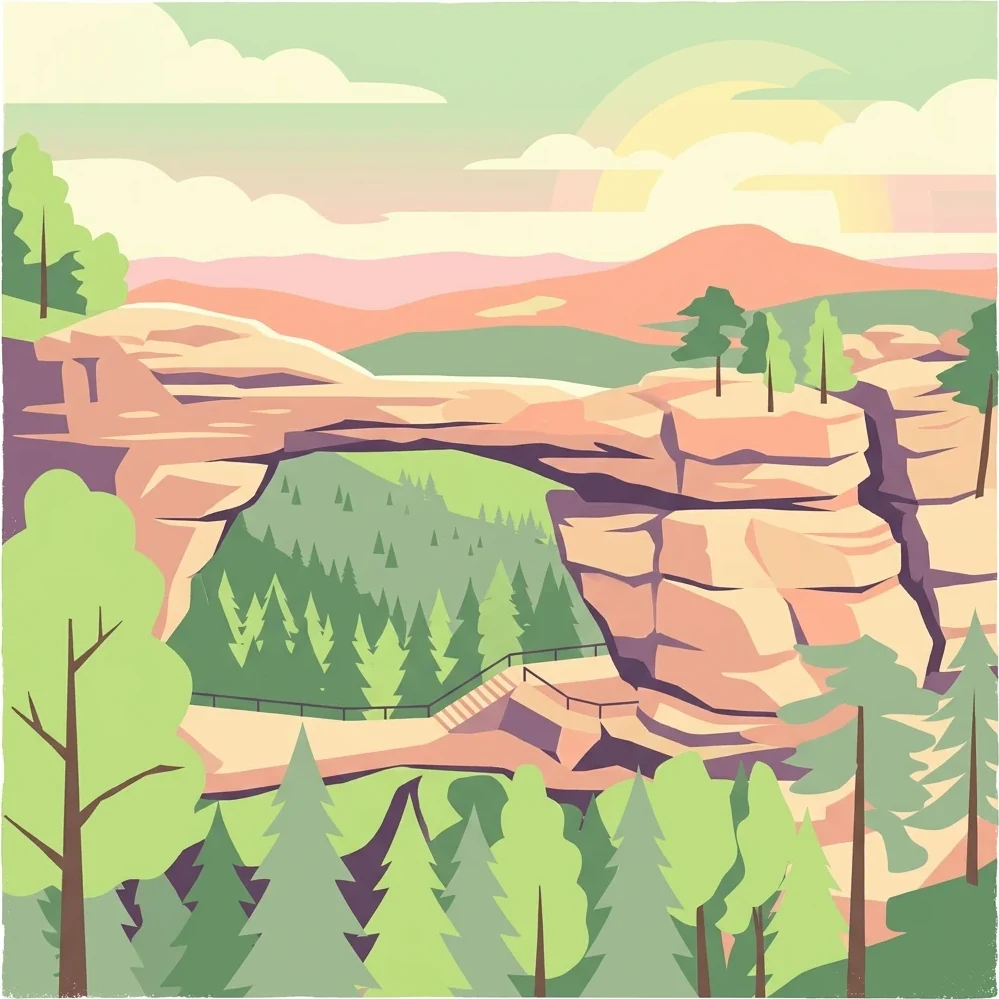
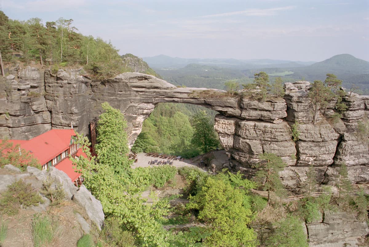
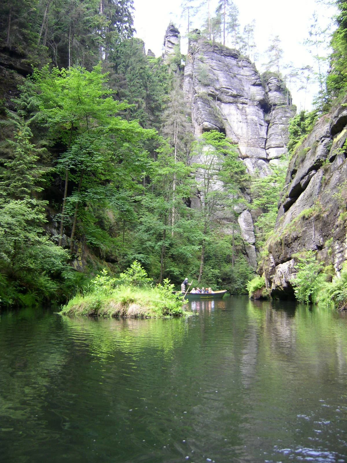
Bohemian Switzerland is best known for its extraordinary sandstone rock formations and the Pravčická brána (Pravčická Gate), the largest natural sandstone arch in Europe, which has become the symbol of the entire region. The park features the dramatic Kamenice Gorge, a spectacular rock ravine carved by the Kamenice River, and a collection of medieval rock castles built into cliff faces to guard historic trade routes. The landscape is characterized by deeply incised valleys, vertical sandstone walls, and rock towers that have inspired artists and composers since the Romantic era, including Carl Maria von Weber, who set his opera Der Freischütz in the vicinity.

Bohemian Switzerland National Park history and protected-area timeline

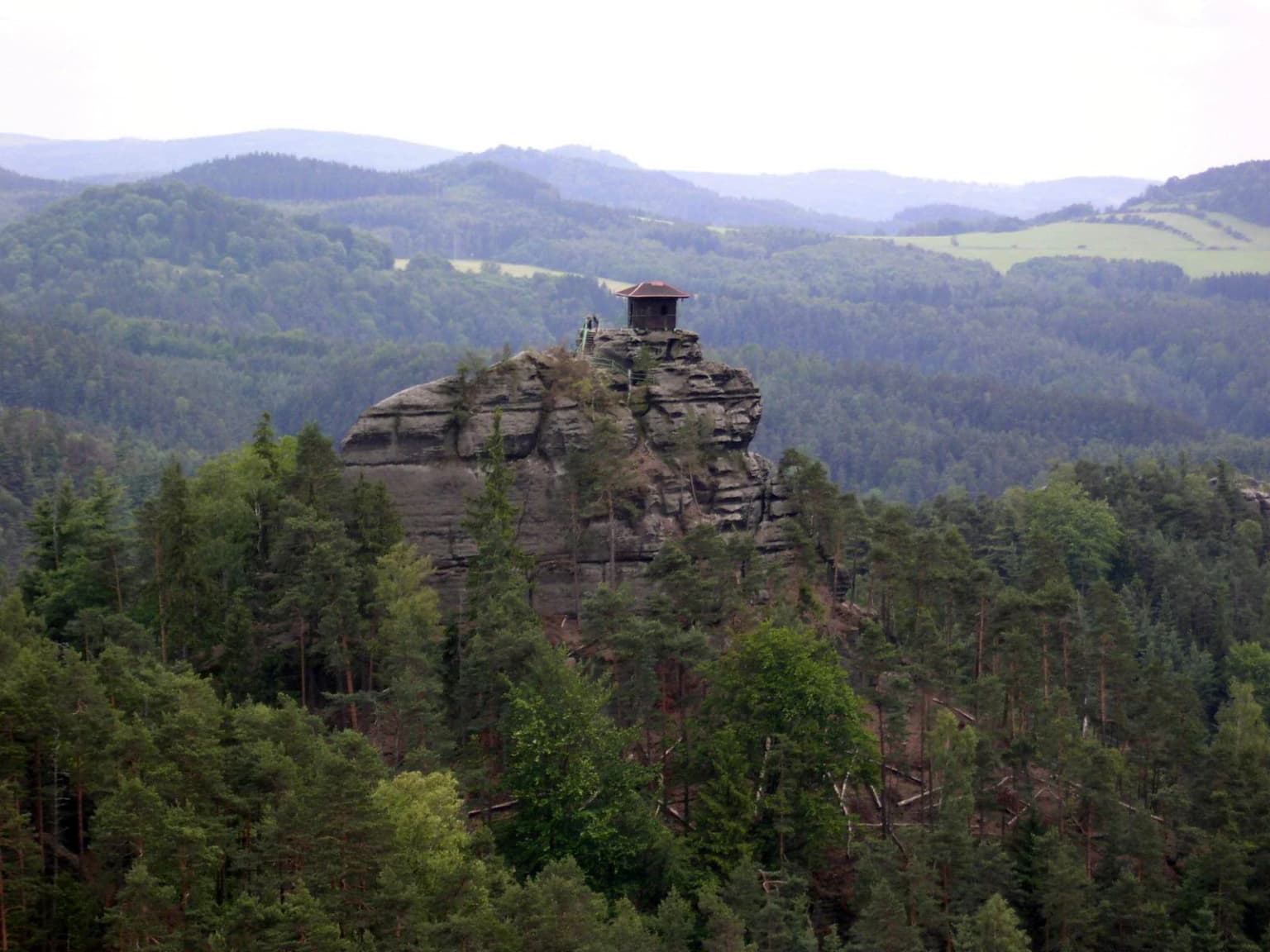
The Bohemian Switzerland region has a rich human history dating back to medieval times when numerous castles were constructed to guard the important trade routes passing through the sandstone valleys. Several of these castles served as hideouts for robber barons, and the region's strategic importance is reflected in the density of fortification remains found throughout the area. The territory was sparsely populated in ancient times by Germanic, Slavic, and Celtic tribes, but was colonized in the 12th century by German-speaking settlers. Until the end of World War II, the area was home to German Bohemians, later known as Sudeten Germans. Following the war, the German population was expelled, and the region has been almost exclusively Czech since that time. The area first began attracting significant tourism in the second half of the 19th century, when Romantic-era artists and composers found inspiration in the dramatic landscape. The entire region was placed under protection as the Elbe Sandstone Mountains Protected Landscape Area in 1972. When Saxon Switzerland achieved national park status in 1990, efforts intensified to establish corresponding protection for the Czech side. After years of debate and resistance from hunting and forestry interests, the Czech government approved the creation of Bohemian Switzerland National Park in 1999, and the park was officially established on January 1, 2000, encompassing the valuable forest and rock landscape, the Kamenice Gorge, and the Růžovský vrch area. The national park headquarters are located in Krásná Lípa, with information offices in Hřensko and Jetřichovice.

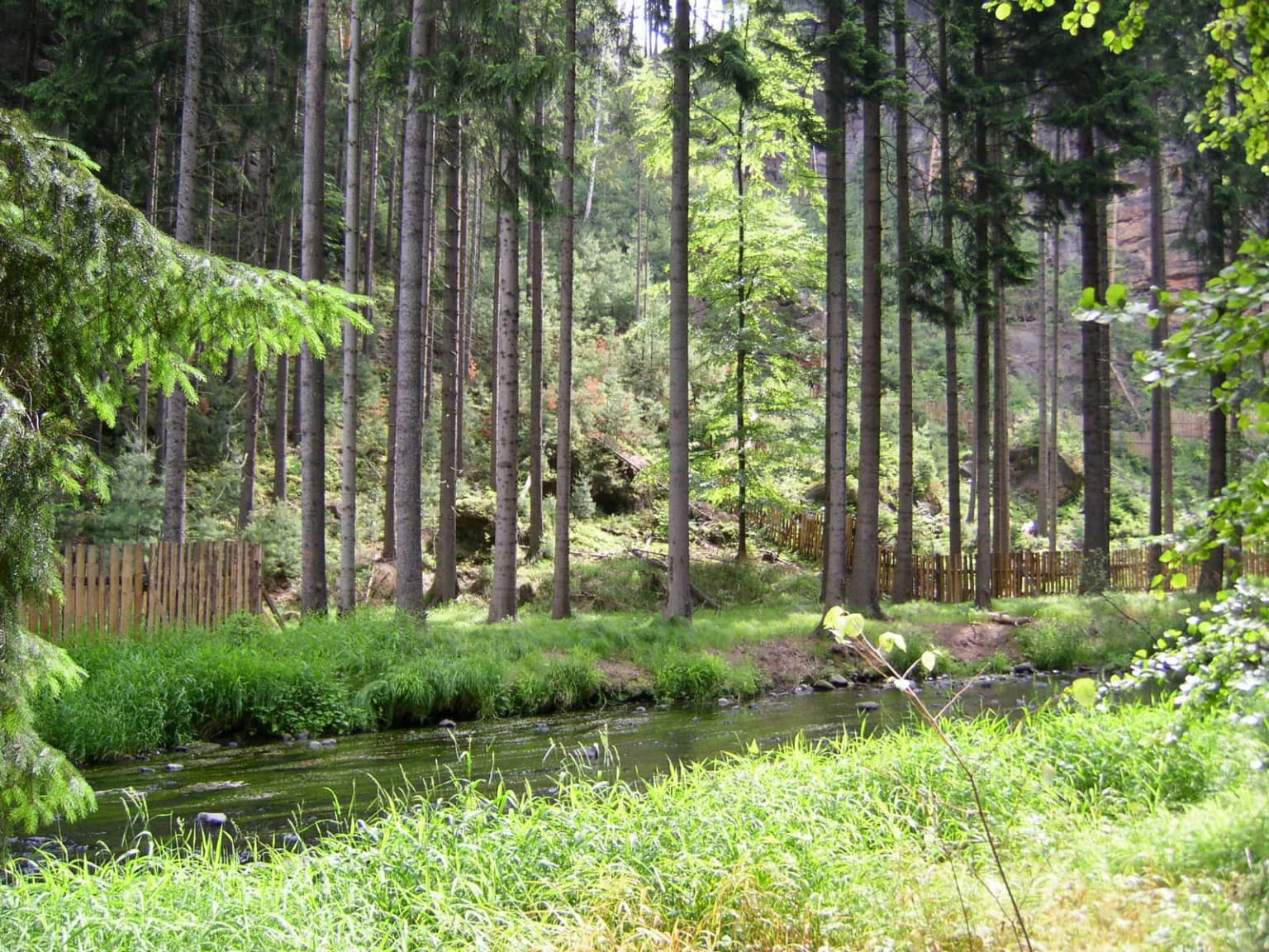
Bohemian Switzerland National Park landscape and geographic character

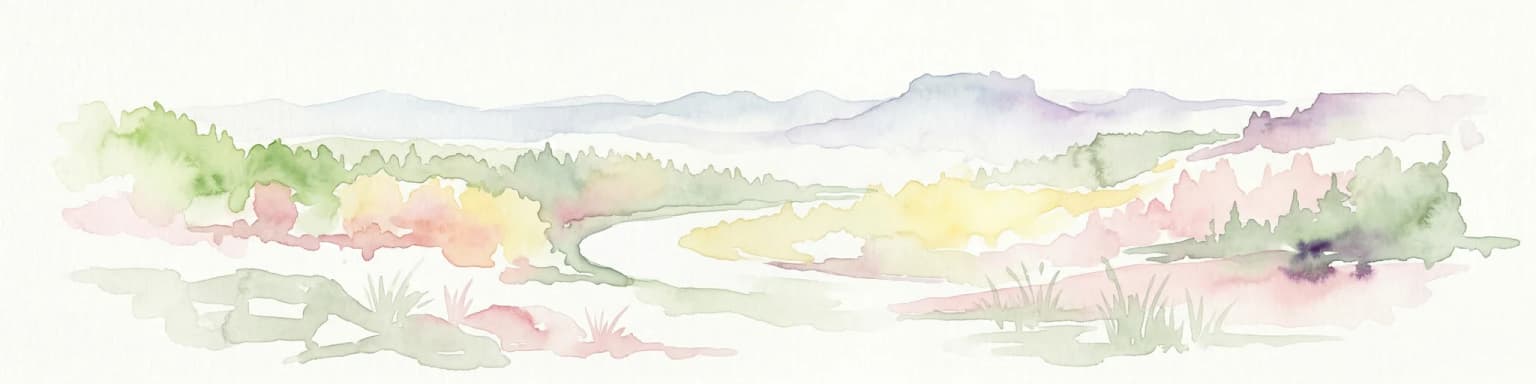
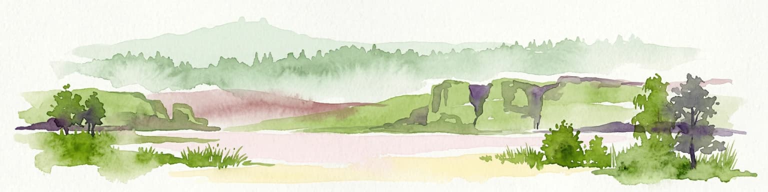
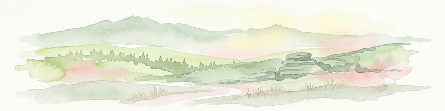
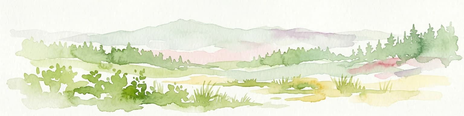
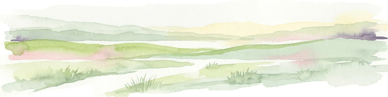
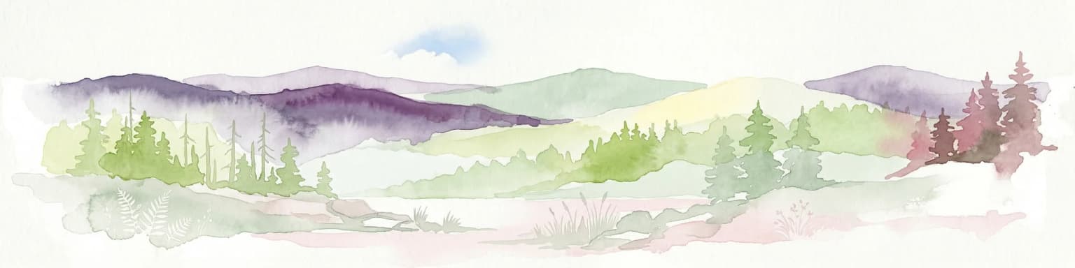
The landscape of Bohemian Switzerland National Park is defined by its dramatic sandstone terrain, one of the most distinctive in Europe. The region features towering vertical sandstone cliffs that rise above deep, narrow gorges carved by the Kamenice River and its tributaries. The terrain is characterized by a network of canyon-like valleys with steep, often overhanging walls, and scattered sandstone rock towers that have been shaped by millions of years of erosion. The highest point in the park, Růžovský vrch, rises to 619 meters and represents a volcanic basalt intrusion that contrasts with the surrounding sandstone, standing as a unique geological feature within the park. The park extends eastward into the Lusatian Mountains and westward into the Ore Mountains, creating a transition zone between different mountain systems. The Elbe River briefly forms the park's border, and the right-bank position of the protected area places it on the western edge of the Czech Republic's portion of the Elbe Sandstone Mountains. The landscape supports a network of well-maintained villages with traditional Upper Lusatian houses, creating a cultural dimension to the natural terrain.

Bohemian Switzerland National Park ecosystems, habitats, and plant life

The nature of Bohemian Switzerland reflects the dramatic diversity of its terrain and geological history. The park's unique combination of deep gorges, rock walls, plateaus, and forest-covered slopes creates a variety of microhabitats that support both warm-loving species on the higher, sun-exposed plateaus and cold-loving species in the deep, shaded ravines. The vegetation is adapted to the sandstone substrate, which creates conditions of low nutrient availability and specific water drainage patterns. The originally heavily forested area remained relatively inaccessible to humans for long periods, allowing nature to persist in a relatively pristine state. The protected status established first in 1972 and upgraded to national park in 2000 has preserved this ecological diversity while allowing natural processes to continue. The park forms part of a larger transboundary conservation unit with Saxon Switzerland National Park in Germany, supporting the movement of species across the international boundary and maintaining ecological connectivity in this distinctive Central European landscape.

Bohemian Switzerland National Park wildlife and species highlights

The wildlife of Bohemian Switzerland is adapted to the diverse habitats created by the park's dramatic terrain and varied microclimates. The deep gorges and rock walls provide nesting sites for numerous bird species, while the forested slopes support typical Central European woodland communities. The contrast between the warm, sun-exposed plateaus and the cool, shaded ravines creates ecological niches that support both thermophilic species adapted to warmer conditions and species requiring cooler, more humid environments. The forest cover, which originally dominated the entire area, provides habitat for mammals common to the Central European forest biome. The transboundary connection with Saxon Switzerland National Park facilitates the movement of wildlife across the international boundary, supporting population connectivity in this mountainous border region.

Bohemian Switzerland National Park conservation status and protection priorities

Bohemian Switzerland National Park represents a crucial conservation achievement in Central Europe, protecting a unique geological landscape that has no equivalent on the continent. The decision to establish the national park in 2000, after years of negotiation and resistance from various interest groups, reflects the recognition of the area's exceptional natural value. The park protects not only the dramatic sandstone formations and deep gorges but also the forests and ecological communities that have persisted in this relatively inaccessible mountain region. As part of the larger Saxon-Bohemian Switzerland transboundary conservation area, the park contributes to international conservation efforts and supports ecological connectivity across the Czech-German border. The protection of the Růžovský vrch area, with its volcanic basalt geology, adds geological diversity to the conservation framework. The park's establishment in 2000 completed the protection of both sides of the Elbe Sandstone Mountains, creating a unified transboundary protected area that preserves one of Europe's most distinctive landscapes.

Bohemian Switzerland National Park cultural meaning and human context

The cultural landscape of Bohemian Switzerland reflects centuries of human presence in this mountainous border region. The medieval period saw the construction of numerous castles and rock fortifications to control the trade routes passing through the sandstone valleys, and the remains of these structures, including Šaunštejn Castle and Falkenštejn Castle, still dot the landscape. The region's history as part of the Austro-Hungarian Empire and later the Czech lands is reflected in the German place names and architectural traditions visible in the villages. Prior to World War II, the area was home to German Bohemians, and the expulsion of this population after the war fundamentally changed the demographic character of the region. The traditional Upper Lusatian houses found in the villages represent a distinctive regional architectural style. The region's artistic heritage dates to the 19th century when Romantic artists and composers were inspired by the wild landscape, establishing a tradition of cultural association with the natural environment that continues today.

Top sights and standout views in Bohemian Switzerland National Park

Bohemian Switzerland National Park protects one of Europe's most remarkable sandstone landscapes, featuring the Pravčická brána, the continent's largest natural sandstone arch, which has become the symbolic landmark of the entire region. The Kamenice Gorge offers one of the most spectacular hiking experiences in Central Europe, with its narrow rock walls and rushing water creating a dramatic canyon environment. Medieval rock castles built into cliff faces, including Šaunštejn and Falkenštejn, add historical dimension to the natural landscape. The park's transboundary position adjacent to Saxon Switzerland National Park creates one of the few large, connected protected areas in Central Europe. The Růžovský vrch area preserves both the highest point in the park and unique volcanic basalt geology amid the dominant sandstone terrain.

Best time to visit Bohemian Switzerland National Park

Bohemian Switzerland can be visited throughout the year, with each season offering a different perspective on the landscape. Spring and early summer bring the forest into full leaf, creating lush green surroundings for the rock formations and gorges. Autumn offers dramatic color changes in the deciduous forests and typically clearer visibility for photography. Winter transforms the landscape with snow on the rock formations, though some trails may be more challenging. The deep gorges can be cooler and retain snow longer, while the exposed plateaus experience more direct sunlight. The park's popularity means that peak summer weekends can be busy at major attractions like Pravčická brána, so visiting on weekdays or during the shoulder seasons provides a more tranquil experience of this remarkable landscape.

Park location guide

Geography guide, regional context, and park location map for Bohemian Switzerland National Park

Bohemian Switzerland National Park park geography, regions, and map view in Czechia
Understand where Bohemian Switzerland National Park sits in Czechia through a broader geographic reading of the surrounding landscape, nearby location context, and its mapped position within the national park landscape.

How Bohemian Switzerland National Park fits into Czechia

Czech Republic is a landlocked Central European country with a population of approximately 10.9 million people. The nation was established as an independent state on January 1, 1993, following the dissolution of Czechoslovakia. Its capital and largest city is Prague, with other major urban centers including Brno, Ostrava, Plzeň, and Liberec.

Wider geography shaping Bohemian Switzerland National Park in Czechia

The Czech Republic is a landlocked country in Central Europe. It is bordered by Germany to the west, Austria to the south, Poland to the northeast, and Slovakia to the southeast. The landscape is predominantly hilly, with the territory covering 78,871 square kilometers.

Map view of Bohemian Switzerland National Park

Use this park location map to pinpoint Bohemian Switzerland National Park in Czechia, understand its exact geographic position, and read its mapped placement within the surrounding landscape more clearly.

Pigeon | © OpenStreetMap contributors
Park atlas

Explore the geographic spread of adjacent protected areas and comparable natural landscapes surrounding Bohemian Switzerland

Bohemian Switzerland National Park: Discover Nearby Parks and Regional Protected Areas
After exploring Bohemian Switzerland National Park, browse other national parks and protected areas across its unique sandstone terrain and neighboring mountain systems. Compare diverse protected landscapes, including transboundary regions and adjacent natural reserves, to understand the broader conservation geography.
Watercolor painting showing a landscape with green hills, trees, and a river winding through the scene
National park

Saxon Switzerland National Park: Protected Area Geography and Map Exploration

Discover its mapped boundaries and regional landscape context.

Saxon Switzerland National Park, a protected national park in Germany, offers a distinct focus for geographic and atlas-based discovery. This page details the park's specific protected landscape, its mapped boundaries, and its contribution to the regional geography. MoriAtlas allows for in-depth exploration of such natural areas, providing essential context for understanding their place within broader natural systems and mapped terrains.

Area
93.5 km²
Established
1990
IUCN
II
Visitors
1.7M annual
Protected landscape

Bohemian Paradise Protected Landscape: Discover Czech Republic's Sandstone Geology and Park Boundaries

Mapped sandstone formations and historic regional geography.

Delve into Bohemian Paradise, a protected landscape in the Czech Republic celebrated for its dramatic sandstone rock formations and ancient castles. This detailed entry provides context on its unique geological character, the extent of its protected boundaries, and its significant position within the regional geography. Explore the mapped terrain and understand the atlas value of this historic protected area.

Area
181.17 km²
Established
1955
IUCN
V
Relief
Upland
Watercolor artwork depicting a landscape with green hills, distant mountains, and pastel sky
National parkLower Silesian Voivodeship

Stołowe Mountains National Park: Explore Poland's Sandstone Rock Cities and Protected Terrain

National Park in Lower Silesian Voivodeship: Geological Wonders.

Stołowe Mountains National Park is a protected national park in Poland celebrated for its unparalleled sandstone geological features. Within the Lower Silesian Voivodeship, the park showcases a dramatic landscape dominated by flat-topped rock plateaus, natural labyrinths, and vertical sandstone formations that create a visually stunning and geologically significant environment. Its protected status ensures the preservation of these unique landforms and the rare ecosystems, such as raised peat bogs, offering extensive opportunities for atlas exploration and understanding the region's distinct natural context.

Area
63.39 km²
Established
1993
IUCN
II
Visitors
1.3M annual
Watercolor illustration showing a river winding through rolling green hills with sparse vegetation
National parkLubusz Voivodeship

Warta Mouth National Park: A National Park Protecting Vital European Wetlands

Explore mapped protected areas and bird habitats in Lubusz Voivodeship.

Warta Mouth National Park, located in Poland's Lubusz Voivodeship, is a significant protected landscape safeguarding the ecologically rich confluence of the Warta and Oder rivers. As the nation's most recently established national park, it provides critical habitat for a vast array of migratory and breeding bird species within its extensive marshlands and floodplains. This park offers a unique opportunity for atlas-driven exploration of Central European wetland geography and the mapped boundaries of a vital conservation area.

Area
80.38 km²
Established
2001
IUCN
II
Visitors
52K annual
Watercolor painting showing mountains, forests, and valleys in a landscape.
National park

Bavarian Forest National Park: Protected Landscape and Regional Geography Atlas

Explore mapped terrain and protected park boundaries in Germany.

Dive into the specifics of Bavarian Forest National Park, a key protected area noted for its distinct landscape and geographic importance. This MoriAtlas entry details the park's mapped boundaries and its setting within the surrounding regional geography, offering a clear atlas-style view of its natural terrain. Understand its identity as a national park and discover its place in Germany's protected lands.

Area
242.45 km²
Established
1970
IUCN
II
Visitors
1.3M annual
National park

Wielkopolska National Park: Poland's Glacial Landscape and Lake District Protected Area

Explore the mapped terrain and protected landscape.

Wielkopolska National Park is a vital protected landscape in western Poland, notable for its characteristic post-glacial terrain. Featuring a landscape defined by numerous kettle lakes nestled within mixed forests and gently rolling hills, this national park offers a representative sample of the Greater Poland lake district's natural heritage. Its mapped boundaries delineate an area of ecological importance, providing valuable context for understanding regional geography and protected area distribution through structured atlas exploration.

Watercolor painting depicting a river flowing through a valley with green vegetation and distant mountains
National parkBrandenburg

Lower Oder Valley National Park: Unique Polder Landscape and Bird Sanctuary

Discover protected area maps and regional geography in Brandenburg

Delve into the Lower Oder Valley National Park, a national park recognized for its extraordinary polder landscape and extensive wetland ecosystems. This page provides detailed geographic context, highlighting the park's unique engineered floodplain, its role as a sanctuary for numerous bird species, and its position within the regional geography of Brandenburg. Understand the mapped boundaries and ecological importance of this exceptional protected area.

Area
103.23 km²
Established
1995
IUCN
II
Visitors
150K annual
Protected landscapeSouth Moravian Region

Moravian Karst Protected Landscape: Detailed Geographic and Cave System Atlas

Mapped protected boundaries and karst phenomena in the South Moravian Region.

Moravian Karst, designated a Protected Landscape Area, offers a profound look into complex karst geology within the South Moravian Region. This entry within MoriAtlas facilitates a structured discovery of its approximately 92 square kilometers, featuring an intricate network of over 1,100 caves and gorges. Users can explore the mapped extent of this geological treasure, understand its relationship with the surrounding regional geography, and appreciate the unique formations sculpted by underground water systems, including the iconic Macocha Abyss.

Area
92 km²
Scope
Terrestrial
Water
Minor water

Common questions about visiting, size, designation, and location context for Bohemian Switzerland National Park

Bohemian Switzerland National Park FAQs for park facts, access, geography, and protected area context
Find quick answers about Bohemian Switzerland National Park, including protected-area facts, park geography, trail and visitor context, and how the park fits into its surrounding country and regional landscape.
MoriAtlas Explorer

Continue Your Protected Areas Search Across the Global Atlas

Deepen your exploration by continuing the structured search for national parks and protected areas worldwide. Utilize the comprehensive filtering capabilities to compare different conservation landscapes and refine your understanding of global park geography. Discover more about the distribution and characteristics of protected natural areas.

Global natural geography