
Mori Atlas logo
Country parks

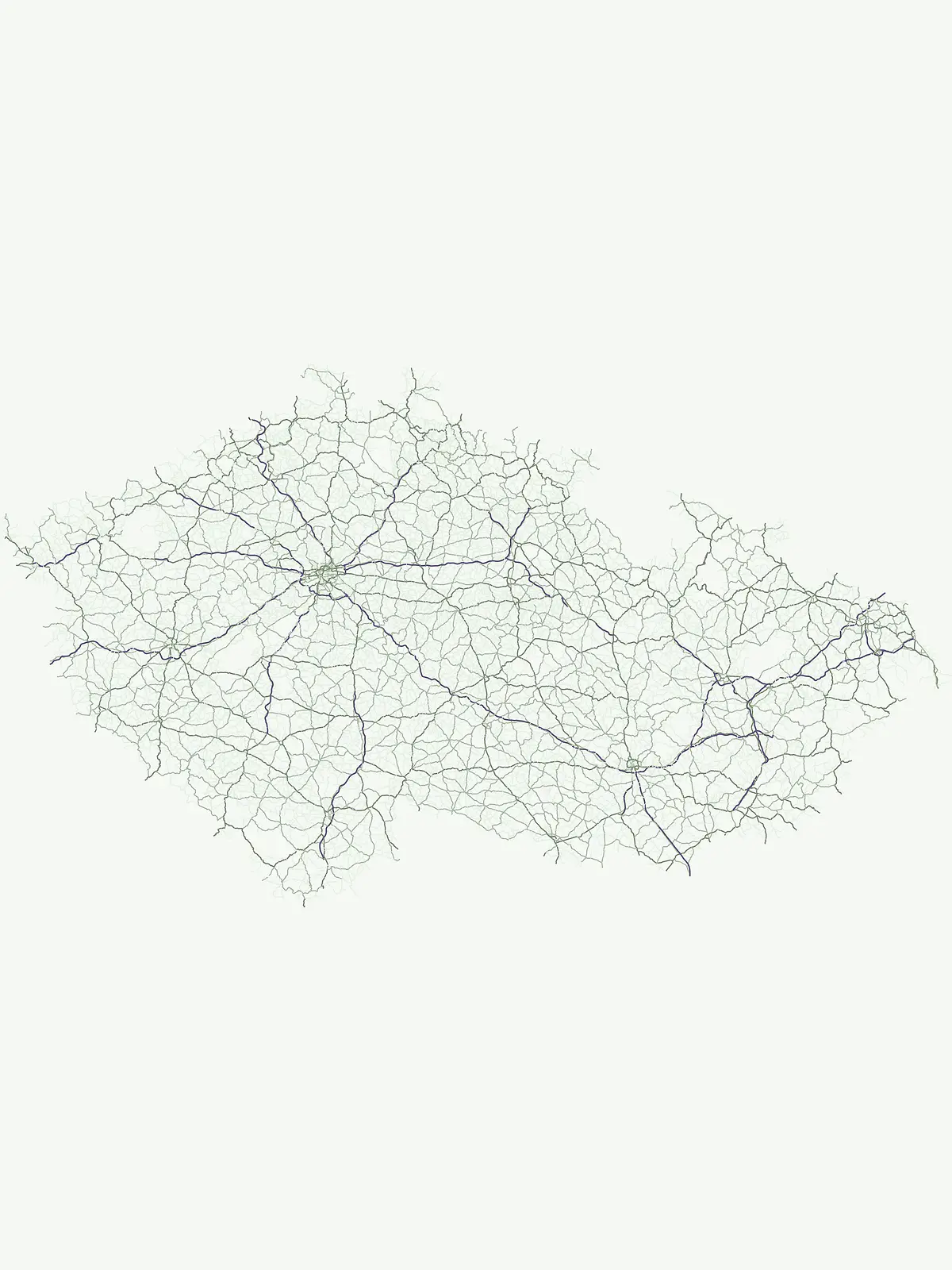
Explore the mapped geographic spread of Czechia's national parks and protected areas.

Czechia National Parks and Protected Areas: A Comprehensive Browse of Protected Landscapes

Begin your exploration of Czechia's diverse natural heritage through its national parks and protected areas. This page provides a structured atlas view, enabling you to browse and understand the distribution of these vital conservation landscapes across the country. Discover the unique geographic context and mapped boundaries that define protected areas within Czechia, offering a foundation for deeper geographic discovery.

Czechia National Parks and Protected Areas: A Comprehensive Browse of Protected Landscapes

Explore Czechia's diverse protected landscapes, mapping conservation areas from mountain ranges to unique geological formations.

Discover National Parks in Czechia: A Comprehensive Atlas of Protected Areas

Explore national parks and a comprehensive list of protected areas throughout Czechia, spanning iconic landscapes like Krkonoše, Šumava, and Bohemian Paradise with their diverse ecosystems. Gain essential geographic context to understand the distribution of Central European conservation areas, tracing their mapped locations and distinct natural characteristics for deeper discovery.

Showing 1 to 20 of 250 parks

Watercolor illustration of a winding road through a forest with rocky outcrops
National parkMountain

Bohemian Switzerland National Park

Discover its unique terrain and protected area geography.

Bohemian Switzerland National Park is a protected area in the Czech Republic known for its exceptional sandstone geology. This national park showcases a dramatic landscape of towering rock formations, deep gorges, and striking canyons, forming a significant part of the Elbe Sandstone Mountains. Through MoriAtlas, users can explore its mapped protected boundaries, understand its regional geographic context, and appreciate its unique natural heritage.

79 km²2000TemperateModerate access
Watercolor painting showing green mountains, evergreen trees, a winding river, and pink flowers
National parkSouth Bohemian RegionMountain

Šumava National Park

Explore the unique glacial lakes, peat bogs, and regional geography.

Šumava National Park, situated in the South Bohemian Region of the Czech Republic, is the nation's largest protected area and a vital component of Central Europe's forest ecosystems. This entry details its expansive terrain, highlighting the significant peat bog complexes and ancient glacial lakes that define its unique landscape. Discover the park's geographic context, mapped boundaries, and its importance as a protected natural asset within the broader regional atlas.

680.64 km²1991BorealModerate access
Watercolor painting of mountains with forested slopes and a lake
National parkLiberec RegionMountain

Krkonoše National Park

Discover glacial landforms and unique ecosystems in the Giant Mountains.

Krkonoše National Park, situated in the Liberec Region, is a premier example of a protected alpine landscape in Central Europe. This page facilitates exploration of its significant glacial geography, including distinct cirques, rockfields, and valleys, providing vital context for understanding its protected area status. Engage with the mapped terrain and discover the unique ecological features that make this national park a cornerstone of conservation and geographic study within the Czech Republic.

363.52 km²1963BorealModerate access
Watercolor illustration of a pink and yellow castle-like structure surrounded by green hills and a stream
Protected landscapeSouth Moravian Region

Moravian Karst

Mapped protected boundaries and karst phenomena in the South Moravian Region.

Moravian Karst, designated a Protected Landscape Area, offers a profound look into complex karst geology within the South Moravian Region. This entry within MoriAtlas facilitates a structured discovery of its approximately 92 square kilometers, featuring an intricate network of over 1,100 caves and gorges. Users can explore the mapped extent of this geological treasure, understand its relationship with the surrounding regional geography, and appreciate the unique formations sculpted by underground water systems, including the iconic Macocha Abyss.

92 km²VMinor water
Watercolor painting showing sandstone rock formations and green forest under a soft pastel sky.
Protected landscape

Bohemian Paradise

Mapped sandstone formations and historic regional geography.

Delve into Bohemian Paradise, a protected landscape in the Czech Republic celebrated for its dramatic sandstone rock formations and ancient castles. This detailed entry provides context on its unique geological character, the extent of its protected boundaries, and its significant position within the regional geography. Explore the mapped terrain and understand the atlas value of this historic protected area.

181.17 km²1955TemperateModerate access
Watercolor painting of green hills, a winding river, and a rocky cliff under a pink and yellow sky
National parkSouth Moravian Region

Podyjí National Park

Mapped Boundaries and Protected Landscape of South Moravia

Podyjí National Park, situated in the South Moravian Region, offers a profound look into one of Central Europe's most ecologically preserved river valleys. This national park is defined by its dramatic 220-meter deep Dyje River canyon, featuring rocky cliffs, stone seas, and a rich mosaic of forest and steppe habitats. MoriAtlas provides structured geographic information to analyze its unique landscape context, biodiversity, and role as a protected natural area within the Czech atlas.

63 km²1991TemperateModerate access
Natural monumentJihomoravský kraj

Vypálenky

0.653 km²2014TemperateIV
Natural monumentStředočeský kraj

Skryjsko-týřovické kambrium

0.3 km²2011TemperateIV
Natural monumentJihočeský kraj

Michovka

0.025 km²1985IVMajor water bodies
Natural monumentÚstecký kraj

Slanisko u Škrle

0.034 km²2002TemperateAccess unknown
Natural monumentKrálovéhradecký krajMountain

Sklenářovické údolí

1.806 km²2009TemperateIII
Natural monumentJihomoravský kraj

Rudice – Seč

0.07 km²2022IIIMinor water
Natural monumentJihomoravský kraj

Roznitál

0.01 km²1990IVNo major water
Natural monumentPrague

Rohožník – lom v Dubči

0.034 km²1988TemperateEasy access
Natural monumentPrague

Radotínské skály

0.277 km²1988TemperateEasy access
Protected landscapeTrutnov District

Přírodní park Hrádeček

2000TemperateEasy accessMinor water
Nature reserveKarlovarský kraj

Pomezní rybník

0.017 km²1990Water-dominated
Nature reserveKrálovéhradecký kraj

Na Plachtě 3

0.17 km²2012TemperateEasy access
Nature reserveStředočeský kraj

Na Pilavě

0.031 km²1969TemperateIV
Natural monumentÚstecký krajMountain

Na loučkách II

6.623 km²2013AlpineIV
Other countries

Continue your atlas exploration of Central European national park systems and mapped protected landscapes.

MoriAtlas: Discover National Parks in Countries Near Czechia and Across Central Europe

From Czechia, browse national parks and protected areas across neighboring Central European countries, extending your geographic understanding of conservation landscapes. This country-level atlas view helps compare diverse protected territories, regional park systems, and significant natural features found throughout the broader continent.

Germany National Parks and Protected Areas: Browse Geographic Distribution

Discover the breadth of Germany's national parks and protected natural areas through a structured geographic atlas. This section enables detailed browsing of mapped boundaries and understanding the regional landscape context for each protected land. It serves as a comprehensive entry point for anyone interested in the geography and distribution of conservation areas within the Federal Republic of Germany.

1,221 parks

Explore National Parks and Protected Areas Across Poland's Geography

Delve into the structured geography of Poland's protected natural areas. This atlas view highlights the distribution of national parks and other significant protected lands, offering insights into their regional context. Use this entry point to navigate and understand the geographic scope of conservation landscapes across Poland, from its diverse terrains to its mapped natural features.

392 parks

Austria National Parks and Protected Areas: Geographic Atlas and Landscape Exploration

Navigate Austria's protected natural areas with a focus on geographic discovery. This atlas view highlights the distribution of national parks and significant protected landscapes, offering insights into regional terrain and mapped park boundaries for structured exploration.

23 parks

Croatia National Parks and Protected Areas: Geographic Atlas Explorer

MoriAtlas provides a geographic atlas for exploring Croatia's national parks and protected areas. Navigate the mapped boundaries and understand the distribution of protected lands throughout the country. This resource focuses on the structured discovery of natural landscapes and regional geography, offering a clear overview for understanding conservation areas within Croatia's diverse terrain.

16 parks

Hungary's National Parks and Protected Areas: A Mapped Geographic Overview

Navigate Hungary's protected natural areas through a structured geographic lens. MoriAtlas visualizes national parks and conservation landscapes, enabling users to understand their distribution across the Carpathian Basin. Discover key protected territories and their regional context for a comprehensive atlas-based exploration of Hungary's natural heritage.

13 parks

Slovakia National Parks and Protected Areas: Mapped Geographic Exploration

Delve into the structured atlas of Slovakia's national parks and protected areas. This page offers a geographically organized perspective, highlighting the distribution of protected lands and natural landscapes across the country. Understand the regional context and mapped boundaries of Slovakia's significant natural territories, providing a foundation for detailed geographic discovery and comparative exploration.

9 parks

Explore Slovenia's National Parks and Protected Areas: A Geographic Overview

This entry point to Slovenia's protected natural areas allows for structured geographic exploration. Understand the placement and scope of national parks and other designated lands across the country, using MoriAtlas to visualize their mapped boundaries and regional context. It serves as a comprehensive atlas for discovering Slovenia's diverse natural terrain and conservation efforts.

5 parks

Liechtenstein Protected Areas: An Atlas of National Parks and Landscapes

Delve into the structured geography of Liechtenstein's protected natural areas. This atlas entry point allows for exploration of national parks and conservation landscapes, highlighting their mapped boundaries and regional context within the country. Understand the unique geographic distribution of protected lands in this Alpine microstate through detailed, factual data.

2 parks

Protected area types

Continue Exploring Czechia's Specific Protected Area Designations

To deepen your understanding of Czechia's conservation efforts, explore the specific details for each represented designation group. Discover the mapped boundaries, geographic context, and unique landscape characteristics that define each category of protected area within the Czech Republic, moving beyond general classification to detailed regional geography.

Czechia Park Designations and Geography
MoriAtlas Explorer

Continue Exploring Czechia's Protected Area Geography and Landscape Filters

Deepen your understanding of Czechia's conservation landscapes by continuing to explore the full suite of search filters and comparison tools. Examining the mapped distribution and specific geographic traits of national parks and protected areas provides essential context for regional discovery. This pathway is optimized for users seeking detailed, country-scoped insights into protected lands.