Mori Atlas logo
Country parks

Explore the mapped geographic spread of Czechia's national parks and protected areas.

Czechia National Parks and Protected Areas: A Comprehensive Browse of Protected Landscapes

Begin your exploration of Czechia's diverse natural heritage through its national parks and protected areas. This page provides a structured atlas view, enabling you to browse and understand the distribution of these vital conservation landscapes across the country. Discover the unique geographic context and mapped boundaries that define protected areas within Czechia, offering a foundation for deeper geographic discovery.

Czechia National Parks and Protected Areas: A Comprehensive Browse of Protected Landscapes

Explore Czechia's diverse protected landscapes, mapping conservation areas from mountain ranges to unique geological formations.

Discover National Parks in Czechia: A Comprehensive Atlas of Protected Areas

Explore national parks and a comprehensive list of protected areas throughout Czechia, spanning iconic landscapes like Krkonoše, Šumava, and Bohemian Paradise with their diverse ecosystems. Gain essential geographic context to understand the distribution of Central European conservation areas, tracing their mapped locations and distinct natural characteristics for deeper discovery.

Showing 1 to 20 of 250 parks

Watercolor painting showing green mountains, evergreen trees, a winding river, and pink flowers
National parkSouth Bohemian RegionMountain

Šumava National Park

Explore the unique glacial lakes, peat bogs, and regional geography.

Šumava National Park, situated in the South Bohemian Region of the Czech Republic, is the nation's largest protected area and a vital component of Central Europe's forest ecosystems. This entry details its expansive terrain, highlighting the significant peat bog complexes and ancient glacial lakes that define its unique landscape. Discover the park's geographic context, mapped boundaries, and its importance as a protected natural asset within the broader regional atlas.

680.64 km²1991BorealModerate access
Watercolor painting of mountains with forested slopes and a lake
National parkLiberec RegionMountain

Krkonoše National Park

Discover glacial landforms and unique ecosystems in the Giant Mountains.

Krkonoše National Park, situated in the Liberec Region, is a premier example of a protected alpine landscape in Central Europe. This page facilitates exploration of its significant glacial geography, including distinct cirques, rockfields, and valleys, providing vital context for understanding its protected area status. Engage with the mapped terrain and discover the unique ecological features that make this national park a cornerstone of conservation and geographic study within the Czech Republic.

363.52 km²1963BorealModerate access
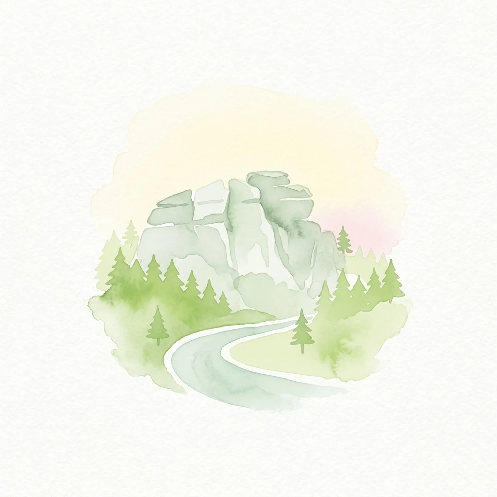
Watercolor illustration of a winding road through a forest with rocky outcrops
National parkCzechiaMountain

Bohemian Switzerland National Park

Discover its unique terrain and protected area geography.

Bohemian Switzerland National Park is a protected area in the Czech Republic known for its exceptional sandstone geology. This national park showcases a dramatic landscape of towering rock formations, deep gorges, and striking canyons, forming a significant part of the Elbe Sandstone Mountains. Through MoriAtlas, users can explore its mapped protected boundaries, understand its regional geographic context, and appreciate its unique natural heritage.

79 km²2000TemperateModerate access
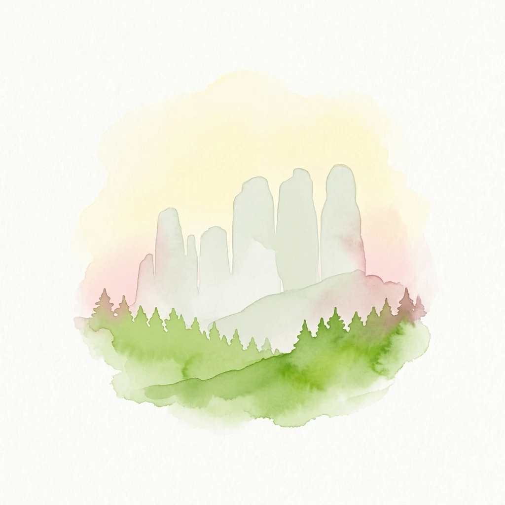
Watercolor painting showing sandstone rock formations and green forest under a soft pastel sky.
Protected landscapeCzechia

Bohemian Paradise

Mapped sandstone formations and historic regional geography.

Delve into Bohemian Paradise, a protected landscape in the Czech Republic celebrated for its dramatic sandstone rock formations and ancient castles. This detailed entry provides context on its unique geological character, the extent of its protected boundaries, and its significant position within the regional geography. Explore the mapped terrain and understand the atlas value of this historic protected area.

181.17 km²1955TemperateModerate access
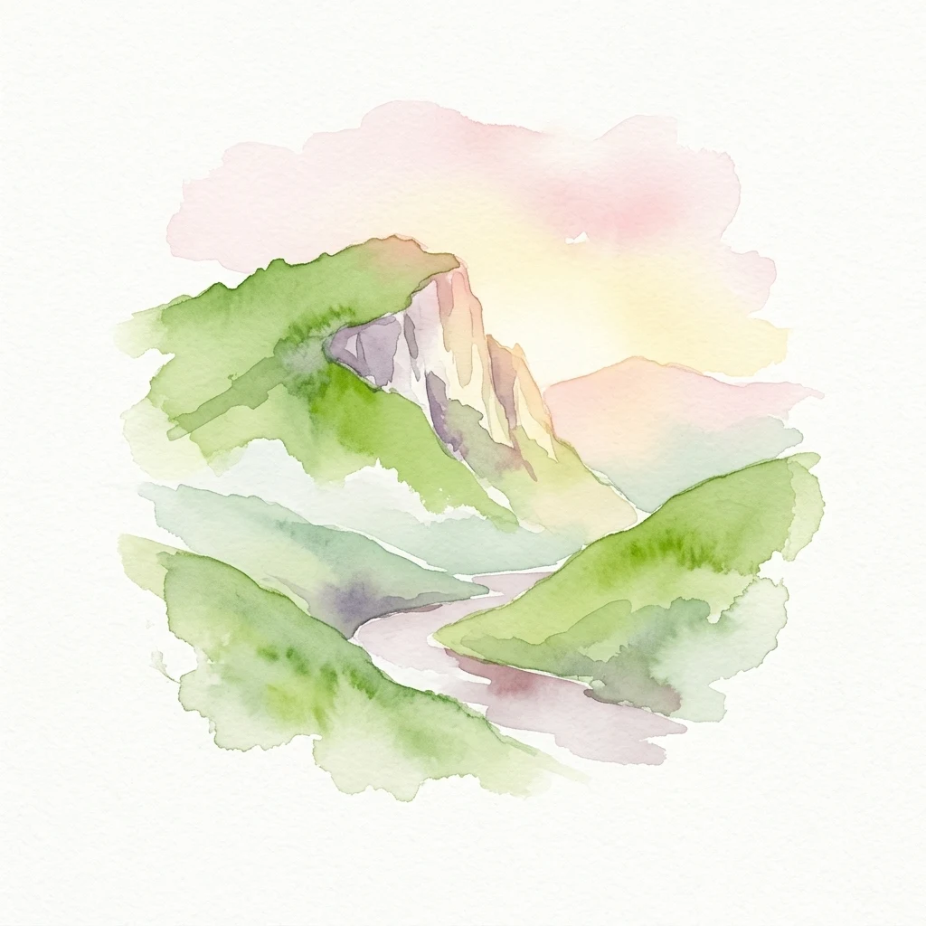
Watercolor painting of green hills, a winding river, and a rocky cliff under a pink and yellow sky
National parkSouth Moravian Region

Podyjí National Park

Mapped Boundaries and Protected Landscape of South Moravia

Podyjí National Park, situated in the South Moravian Region, offers a profound look into one of Central Europe's most ecologically preserved river valleys. This national park is defined by its dramatic 220-meter deep Dyje River canyon, featuring rocky cliffs, stone seas, and a rich mosaic of forest and steppe habitats. MoriAtlas provides structured geographic information to analyze its unique landscape context, biodiversity, and role as a protected natural area within the Czech atlas.

63 km²1991TemperateModerate access
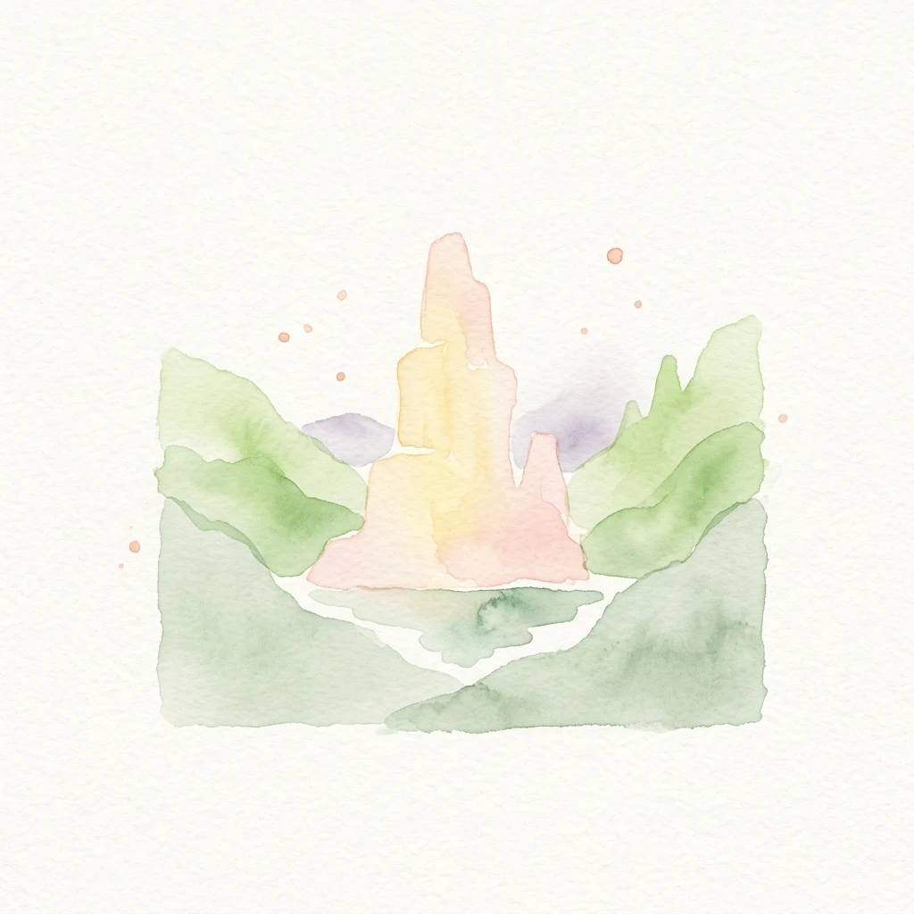
Watercolor illustration of a pink and yellow castle-like structure surrounded by green hills and a stream
Protected landscapeSouth Moravian Region

Moravian Karst

Mapped protected boundaries and karst phenomena in the South Moravian Region.

Moravian Karst, designated a Protected Landscape Area, offers a profound look into complex karst geology within the South Moravian Region. This entry within MoriAtlas facilitates a structured discovery of its approximately 92 square kilometers, featuring an intricate network of over 1,100 caves and gorges. Users can explore the mapped extent of this geological treasure, understand its relationship with the surrounding regional geography, and appreciate the unique formations sculpted by underground water systems, including the iconic Macocha Abyss.

92 km²VMinor water
Nature reserveKrálovéhradecký kraj

Prachovské skály

Mapped sandstone towers and protected forest terrain in Královéhradecký kraj

Prachovské skály consists of a concentrated sandstone massif characterized by towering pinnacles and labyrinthine gorges. This nature reserve serves as a prime example of sedimentary erosion in the Bohemian Paradise region, offering a distinct landscape profile that stands in sharp contrast to the surrounding agricultural plains of the Czech Republic.

2.624 km²1928TemperateEasy access
Natural monumentÚstecký krajMountain

Radobýl

A protected volcanic landmark with steppe ecosystems and ridge views.

Radobýl stands as a distinctive volcanic remnant in the Ústecký kraj, featuring profound columnar basalt jointing and frost-weathered cliffs. This protected natural monument shelters rare dry grassland habitats and rocky terrain, while offering expansive views across the Litoměřice basin and the surrounding Bohemian landscape.

0.063 km²1966TemperateModerate access
Natural monumentMoravskoslezský krajMountain

Uhlířský vrch

A preserved volcanic cone featuring historic pilgrimage architecture.

Located in the Nízký Jeseník highlands, Uhlířský vrch represents one of the youngest extinct volcanoes in the Czech Republic. The protected area centers on a former tuff quarry revealing basaltic history, while the summit preserves a significant Baroque pilgrimage landscape, including a historic linden avenue and views extending toward the Hrubý Jeseník.

0.035 km²1966TemperateEasy access
Natural monumentKarlovarský krajMountain

Vlčí jámy

Ore Mountains mining collapse and relict microclimate landscape

Vlčí jámy protects a rare intersection of medieval mining history and environmental significance in the Karlovarský kraj. The site is defined by two deep collapse features, Ledová jáma and Vlčí jáma, which function as persistent cold traps. These geological anomalies support critically endangered mosses and bat colonies, illustrating how abandoned industrial landscapes in the Ore Mountains evolve into essential, small-scale protected habitats.

0.014 km²1975AlpineModerate access
Nature reservePraha 5

Prokopské údolí

A limestone karst landscape situated within the Praha 5 district

Prokopské údolí is an essential protected nature reserve in Praha 5, featuring a deep limestone valley that serves as a globally significant site for Paleozoic fossils and karst geography. This protected landscape encompasses a range of habitats including rock steppes, thermophilic woodlands, and volcanic outcrops, providing a unique look at urban-adjacent nature conservation and historical limestone quarrying within the Czech Republic.

1.71 km²1978TemperateEasy access
Natural monumentJihočeský kraj

Slepičí vršek

Protected psammophilous landscape in Jihočeský kraj

Slepičí vršek represents a distinct eolian feature within the broader Třeboňsko landscape, characterized by its dry, undulating sandy soil and rare vegetation. This protected monument offers a clear case study for understanding inland dune development and the specialized biodiversity of relict habitats within the South Bohemian Region.

0.019 km²1955TemperateEasy access
Nature reserveLiberec RegionMountain

Ptačí kupy

Protected mountain geography and high-elevation beech forest terrain

Ptačí Kupy stands as a notable nature reserve in the Liberec Region, defined by its coarse-grained granite outcrops and preserved acidophilic beech forest ecosystems. This compact area sits within the high-elevation ridge of the Jizera Mountains, offering a window into specialized montane vegetation and complex frost-riven geological structures. As a key segment of the regional conservation network, it illustrates the recovery of mountain woodland landscapes from historical environmental pressures.

0.118 km²1960TemperateEasy access
Nature reserveOlomouc Region

Račí údolí

Geographic boundaries and metamorphic woodland terrain

Račí údolí serves as a vital protected area in the Jeseník foothills, showcasing remnants of oak and beech forests amidst rocky gneiss terrain. This valley map highlights the intersection of natural stream-cut geography and centuries of human cultural presence, providing a dense, immersive look at regional forest conservation and metamorphic geology.

0.62 km²1998Easy accessIV
Nature reserveLiberec RegionMountain

Ronov

Volcanic landmark with basalt talus slopes and historic ruins

Ronov rises as a distinctively shaped basalt cone from the rolling terrain of the northern Czech Republic. This nature reserve offers significant insight into the geological and botanical character of the Ralská pahorkatina, featuring extensive stone seas and rare plant habitats situated around ancient castle remains.

0.09 km²1995TemperateEasy access
Protected landscapeBrno-venkov District

Přírodní park Údolí Bílého potoka

Forested stream valley geography and upland terrain mapping

This protected area centers on the deep, forested valley of the Bílý potok stream. It features a rich mosaic of beech-fir and oak-pine forests on rocky slopes, representing a significant ecological corridor in the agricultural landscape northwest of Brno within the Brno-venkov District.

40.46 km²1978TemperateAccess unknown
Nature reserveStředočeský kraj

Vlčí rokle

Mapping protected natural monument boundaries and ancient woodland remnants

Explore the geological and botanical features of Vlčí rokle, an exceptional nature reserve set within the Středočeský kraj. This protected area safeguards a fragment of ancient beech forest and a granite-boulder-strewn ravine, representing a classic example of central Bohemian geological and ecological heritage.

0.085 km²1990TemperateEasy access
Natural monumentJihomoravský kraj

Medlánecké kopce

A rare mosaic of dry grasslands and rocky outcrops in Jihomoravský kraj

Medlánecké kopce preserves a critical landscape of thermophilic flora and insect communities on the edge of the Brno basin. The site is noted for its xerothermic vegetation, including the large-flowered pasqueflower, which thrives on its unique metabasite and loess soil composition. This protected area offers a look at how specialized steppe ecosystems persist within a heavily developed regional environment.

0.118 km²1988TemperateAccess unknown
Natural monumentLiberec Region

Vranovské skály

Geographic analysis of sandstone pillars and protected upland forest terrain.

Vranovské skály stands as a significant natural monument in the Liberec Region, preserving a cluster of bright sandstone towers that contrast with the dark forests of the Ralská pahorkatina. This protected area includes several named formations and botanical niches shaped by historical land use. Its geography offers a clear example of sandstone geomorphology and its role in maintaining regional biodiversity within the broader context of northern Bohemia.

0.129 km²1991TemperateEasy access
Natural monumentPardubický kraj

Rybenské Perničky

Geological rock outcrops and protected upland terrain in the Pardubice Region

Investigate the geological structure of Rybenské Perničky, a protected natural monument featuring unique orthogneiss outcrops and characteristic bowl-shaped weathering basins. Situated in the Pardubice Region, this site offers a focused look at the crystalline rock formations and undulating plateau terrain of the Bohemian-Moravian Highlands, providing essential geographic context for this noteworthy natural landmark.

0.141 km²1980TemperateAccess unknown
Other countries

Continue your atlas exploration of Central European national park systems and mapped protected landscapes.

MoriAtlas: Discover National Parks in Countries Near Czechia and Across Central Europe

From Czechia, browse national parks and protected areas across neighboring Central European countries, extending your geographic understanding of conservation landscapes. This country-level atlas view helps compare diverse protected territories, regional park systems, and significant natural features found throughout the broader continent.

Germany National Parks and Protected Areas: Browse Geographic Distribution

Discover the breadth of Germany's national parks and protected natural areas through a structured geographic atlas. This section enables detailed browsing of mapped boundaries and understanding the regional landscape context for each protected land. It serves as a comprehensive entry point for anyone interested in the geography and distribution of conservation areas within the Federal Republic of Germany.

1,230 parks

Explore National Parks and Protected Areas Across Poland's Geography

Delve into the structured geography of Poland's protected natural areas. This atlas view highlights the distribution of national parks and other significant protected lands, offering insights into their regional context. Use this entry point to navigate and understand the geographic scope of conservation landscapes across Poland, from its diverse terrains to its mapped natural features.

394 parks

Austria National Parks and Protected Areas: Geographic Atlas and Landscape Exploration

Navigate Austria's protected natural areas with a focus on geographic discovery. This atlas view highlights the distribution of national parks and significant protected landscapes, offering insights into regional terrain and mapped park boundaries for structured exploration.

23 parks

Croatia National Parks and Protected Areas: Geographic Atlas Explorer

MoriAtlas provides a geographic atlas for exploring Croatia's national parks and protected areas. Navigate the mapped boundaries and understand the distribution of protected lands throughout the country. This resource focuses on the structured discovery of natural landscapes and regional geography, offering a clear overview for understanding conservation areas within Croatia's diverse terrain.

16 parks

Hungary's National Parks and Protected Areas: A Mapped Geographic Overview

Navigate Hungary's protected natural areas through a structured geographic lens. MoriAtlas visualizes national parks and conservation landscapes, enabling users to understand their distribution across the Carpathian Basin. Discover key protected territories and their regional context for a comprehensive atlas-based exploration of Hungary's natural heritage.

13 parks

Slovakia National Parks and Protected Areas: Mapped Geographic Exploration

Delve into the structured atlas of Slovakia's national parks and protected areas. This page offers a geographically organized perspective, highlighting the distribution of protected lands and natural landscapes across the country. Understand the regional context and mapped boundaries of Slovakia's significant natural territories, providing a foundation for detailed geographic discovery and comparative exploration.

9 parks

Explore Slovenia's National Parks and Protected Areas: A Geographic Overview

This entry point to Slovenia's protected natural areas allows for structured geographic exploration. Understand the placement and scope of national parks and other designated lands across the country, using MoriAtlas to visualize their mapped boundaries and regional context. It serves as a comprehensive atlas for discovering Slovenia's diverse natural terrain and conservation efforts.

5 parks

Liechtenstein Protected Areas: An Atlas of National Parks and Landscapes

Delve into the structured geography of Liechtenstein's protected natural areas. This atlas entry point allows for exploration of national parks and conservation landscapes, highlighting their mapped boundaries and regional context within the country. Understand the unique geographic distribution of protected lands in this Alpine microstate through detailed, factual data.

2 parks

Protected area types

Continue Exploring Czechia's Specific Protected Area Designations

To deepen your understanding of Czechia's conservation efforts, explore the specific details for each represented designation group. Discover the mapped boundaries, geographic context, and unique landscape characteristics that define each category of protected area within the Czech Republic, moving beyond general classification to detailed regional geography.

Czechia Park Designations and Geography
MoriAtlas Explorer

Continue Exploring Czechia's Protected Area Geography and Landscape Filters

Deepen your understanding of Czechia's conservation landscapes by continuing to explore the full suite of search filters and comparison tools. Examining the mapped distribution and specific geographic traits of national parks and protected areas provides essential context for regional discovery. This pathway is optimized for users seeking detailed, country-scoped insights into protected lands.