Mori Atlas logo
Countries

Explore the mapped distribution of protected lands and natural landscapes across Slovakia.

Slovakia: parks and protected areas

Explore maps and profiles of protected areas in Slovakia, including TANAP and Poloniny.

Slovakia: parks and protected areas
Park system

Slovakia Park System: Mapping National Parks and Protected Landscapes

Analyzing Slovakian conservation history, spatial scales, and diverse mountain habitats

Compare the structural layout of national parks in Slovakia using compiled metrics across known land area, establishment history, and official designations. These current atlas records clarify how various Carpathian mountain habitats and climate zones distribute across the regional park system.

Known protected area

3,297 km²

Area data available for 9 of 9 parks.

Median park size

346 km²

Median across 9 parks with known area.

Oldest known park

Established in 1949.

Largest known park

Recorded area: 738 km².

About

Explore the Mapped Geography and Conservation Landscapes of the Slovak Republic

Slovakia National Parks and Protected Areas: A Geographic Atlas Overview

Discover the comprehensive atlas of national parks and protected areas within Slovakia. This country-level view offers insight into the geographic distribution and conservation landscape of protected territories across the Slovak Republic. Utilize this structured geographic data as a starting point for exploring Slovakia's diverse natural heritage and its mapped natural reserves.

Slovakia is a landlocked Central European country with a population of over 5.4 million. It became independent from Czechoslovakia in 1993 and is a member of the European Union. The country features mountainous terrain, with the Carpathian Mountains running through its territory. Bratislava serves as the capital and largest city, while Košice is the second-largest city.

Largest city:Bratislava
Currency code:EUR
ISO code:SK
Parks count
9
Capital
Bratislava
Area
49,035 km²
Population
5,413,813 (2,025)

Coastal
Island
Mountainous
Landlocked
Park atlas9 parks

Explore Slovakia's Mapped Protected Landscapes and Carpathian Mountain Ranges

National Parks and Protected Areas in Slovakia: A Geographic Discovery

Access a structured atlas view of national parks and protected areas across Slovakia. Discover the mapped geography of these conservation landscapes, from the High Tatras to other significant natural reserves. This country-level directory supports navigation into specific park details, offering a geography-first approach to understanding Slovakia's protected territories.
Watercolor painting showing a lake surrounded by trees and mountains in the background
National parkSlovakia

Tatra National Park: Mapping the Alpine Peaks and Glacial Landscapes of Slovakia

Protected Mountain Terrain in the Carpathian Range

Examine the geographic framework of Tatra National Park, a significant protected area in Slovakia defined by dramatic glacial valleys, over three hundred caves, and high-altitude mountain ecosystems. This authoritative entry provides a detailed look at the park's alpine boundaries, hydrological networks, and role as a transboundary biosphere reserve in the Carpathian Mountains.

Area
738 km²
Established
1949
IUCN
II
Relief
Mountain
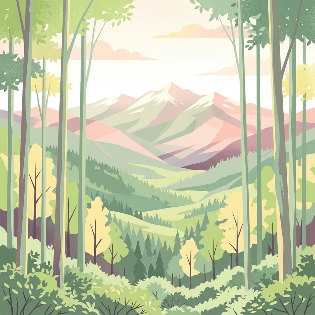
Stylized digital illustration of a mountain range viewed through a foreground of vertical tree trunks and lush forest vegetation.
National parkPrešov Region

Poloniny National Park: Carpathian Protected Landscape and Regional Geography Exploration

Mapped terrain and unique mountain meadows in Slovakia's Eastern Carpathians.

Delve into Poloniny National Park, a protected national park located in the Prešov Region of Slovakia. This entry focuses on the park's distinct protected landscape identity, featuring its extensive primeval beech forests that form part of a UNESCO World Heritage site, and its characteristic polonina meadows. Understand its geographic positioning within the Bukovské vrchy mountains and its role as a transboundary protected area, offering a unique lens for atlas-based discovery of Carpathian natural heritage.

Area
406.88 km²
Established
1997
IUCN
II
Relief
Mountain
Watercolor painting of rolling mountains in green, yellow, and pink tones
National parkSlovakia

Low Tatras National Park

Explore mapped terrain and regional geographic context.

Low Tatras National Park, in Slovakia. Landscapes: mountains, valleys, and forests.

Area
728 km²
Established
1978
IUCN
II
Relief
Mountain
Watercolor illustration of a winding river through rolling green hills with trees in the foreground
National parkKošice Region

Slovak Paradise National Park: Protected Area Mapping & Geographic Context in Košice Region

Explore the boundaries and terrain of this national park.

Investigate Slovak Paradise National Park, a designated national park situated within Slovakia's Košice Region. This detailed entry provides essential context for understanding its protected landscape features, mapped geographic distribution, and role within regional atlas exploration. Discover its unique terrain and boundaries to build a comprehensive view of Slovak conservation areas.

Area
197.63 km²
Established
1988
IUCN
II
Relief
Mountain
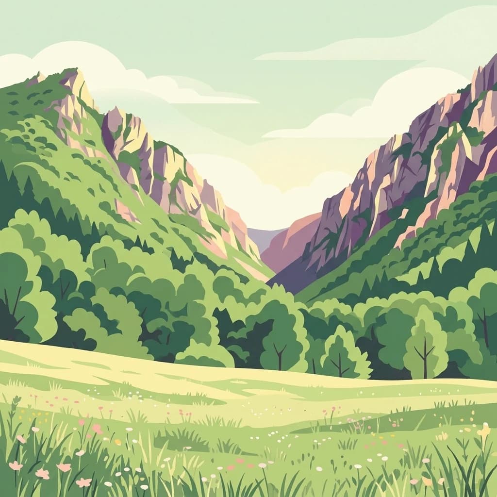
A stylized illustration of a mountain valley with a meadow in the foreground, green trees on the slopes, and rocky peaks under a pale sky.
National parkKošice Region

Slovak Karst National Park: Premier Central European Karst Landscape and Cave Systems

Explore protected terrain and mapped underground wonders in Košice Region.

Slovak Karst National Park offers an unparalleled glimpse into a dynamic karst environment. As a designated national park and UNESCO Biosphere Reserve, it preserves a significant concentration of caves, dramatic limestone formations, and rugged canyons within its territory in southeastern Slovakia. This atlas-focused presentation highlights the park's distinctive geology, mapped landscape features, and its importance as a protected natural area within the broader geography of the Košice Region. Understand the park's surface topography and its world-renowned subterranean realms.

Area
346.11 km²
Established
2002
IUCN
II
Relief
Mountain
Watercolor illustration of a river flowing through a forested valley with rolling hills and scattered trees
National parkPrešov Region

Pieniny National Park: Geographic Insights and Protected Landscape Mapping in Prešov Region

Explore karst terrain, river gorge geography, and mountain boundaries

Pieniny National Park showcases remarkable limestone scenery and rare karst microhabitats along the Slovak-Polish border. This atlas focus provides a technical overview of the park's physical boundaries, river canyon systems, and its geological significance within the Prešov Region. Access key geographic data regarding the Lesser Pieniny ridges and the unique ecological corridors that define this internationally recognized conservation zone.

Area
37.5 km²
Established
1967
IUCN
II
Relief
Mountain
Watercolor painting showing layered mountains and green forests
National parkSlovakia

Malá Fatra National Park National Park: Geographic Context and Protected Area Mapping

Explore the mapped terrain and regional geography.

Malá Fatra National Park serves as a cornerstone for understanding Slovakia's protected landscapes. This dedicated park page provides crucial geographic context, detailing its national park designation and the extent of its protected area boundaries. Users can leverage MoriAtlas to visualize the park's location within the broader regional geography, facilitating a structured approach to discovering its natural landscape and terrain through map-based exploration.

Area
226.3 km²
Established
1988
IUCN
II
Relief
Mountain
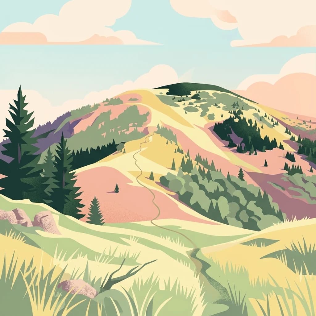
A digital illustration of a mountain landscape with a winding trail leading up a grassy ridge, dotted with pine trees and soft clouds in the background.
National parkSlovakia

Veľká Fatra National Park: Slovakia's Premier Protected Landscape for Geographic Discovery

Explore the park's mapped boundaries and regional natural terrain.

Veľká Fatra National Park stands as a distinct protected area, offering critical insights into Slovakia's regional geography and landscape character. This entry provides an atlas-driven perspective on its mapped boundaries and its significance as a national park. Delve into the structured geographic details and protected land context that define Veľká Fatra National Park for comprehensive discovery.

Area
403.713 km²
Established
2002
IUCN
II
Relief
Mountain
Watercolor illustration of a forested landscape with mountains, trees, and a river
National parkBanská Bystrica Region

Muránska planina National Park: Discover Slovakia's Karst Plateau and Protected Natural Landscape

Explore mapped boundaries, caves, and endemic flora in Banská Bystrica Region.

Muránska planina National Park represents a significant protected landscape in central Slovakia's Banská Bystrica Region, defined by its extensive karst topography. This national park encompasses a limestone and dolomite plateau rich with geological wonders, including over 150 caves, sinkholes, and karst springs. The unique contrast between the flat plateau surface and the sharp, rocky ravines showcases a dramatic natural terrain. Explore the park's mapped boundaries and its remarkable biodiversity, highlighted by 35 endemic species and rare Tertiary relict flora like Daphne arbuscula, making it a key destination for atlas-based geographic discovery.

Area
213.18 km²
Established
1997
IUCN
II
Relief
Mountain
Landscape and environment

Understand how Slovakia is shaped by terrain, ecosystems, and seasonal conditions

Slovakia geography, nature, climate, and landscape context for park-focused travel research

Explore the physical geography, natural setting, and climate patterns of Slovakia through a location-first overview built for travel research, national park discovery, and broader regional context. This section helps explain how landscapes, habitats, and environmental conditions shape what people search for, where they travel, and how they experience protected areas in Slovakia.

Slovakia geography and landscape

Slovakia is located in Central Europe, landlocked between Poland to the north, Ukraine to the east, Hungary to the south, Austria to the west, and the Czech Republic to the northwest. The territory is mostly mountainous, with the Carpathian Mountains, including the High Tatras, dominating the northern region. The Danube River forms part of the southern border with Hungary.

Slovakia nature and environment

Slovakia's mountainous terrain includes the High Tatras, Low Tatras, and Fatra ranges, which are part of the Carpathian mountain system. The country has several protected areas, national parks, and nature reserves preserving diverse ecosystems including forests, alpine meadows, and karst formations.

Slovakia climate and seasonal conditions

Slovakia has a temperate continental climate with distinct seasons. The mountainous regions experience cooler temperatures with higher precipitation, while lower elevations have warmer summers and cold winters.

Explore this place

Related topics and popular queries

Ways to explore Slovakia

Useful phrases, related topics, and discovery prompts connected to Slovakia.
where is slovakia locatedslovakia capital city bratislavaslovakia population and areaslovakia geography mountainsslovakia eu membershipslovakia history independence 1993slovakia countryslovak republiccentral europe geographybratislava capitalcarpathian mountainsslovakia populationslovakia eu memberslovakia economy
Park map

Visualize the geographic spread of Slovakia's protected areas and national parks across its Carpathian terrain.

Slovakia National Parks Map: Explore Protected Areas and Carpathian Landscapes

Preview the mapped locations of Slovakia's national parks and other significant protected areas, understanding their placement within the country's Central European geography. This atlas view offers essential geographic context for exploring Slovakia's conservation landscapes, helping identify park distributions across its Carpathian mountain ranges.
Natural feature types

Browse All Named Natural Features Within the National Parks of Slovakia

Discover the geographic diversity across the Slovak Republic by exploring mapped features within its protected lands. MoriAtlas provides a structured view of these natural landscapes to support research into regional terrain and environmental characteristics.

Understanding Slovakia's National Park Geography and Protected Area Distribution

Frequently Asked Questions About National Parks and Protected Areas in Slovakia

Browse common questions regarding national parks, significant protected areas, and unique geographical features across Slovakia, a Central European nation defined by its Carpathian Mountains. Gain insights into the country's diverse natural landscapes and conservation efforts, enhancing your understanding of Slovakia's protected regions.
Other countries

Broaden your atlas view beyond Slovakia by comparing protected landscapes and mapped terrain across Central Europe.

Explore Other National Park Geographies from Slovakia: Discover Nearby Countries and Protected Areas

From Slovakia, users can browse national park entities and protected areas within other Central European countries, exploring diverse conservation landscapes and regional terrain. This allows for comparative geographic discovery, providing a wider perspective on shared mountain ranges like the Carpathians and varied European protected-area systems.

Hungary: parks and protected areas

Parks and protected areas in Hungary, including Hortobágy and Aggtelek.

13 parks

Protected area types

Continue Exploring Slovakia's Park Designation Geography and Atlas Context

Deepen your understanding of Slovakia's protected natural territories by exploring its national park classifications. This hub offers a structured entry point to compare represented designation groups and their distribution across the country's geography. Continue your atlas exploration to discover the specific mapped boundaries and landscape features that define these vital conservation areas.

Slovakia National Park Designations
MoriAtlas Explorer

National parks and protected areas worldwide

Find a park and explore its geography, habitats, and monthly climate.

Global natural geography