Mori Atlas logo
Countries

Browse the mapped protected lands and natural landscapes of Hungary.

Hungary National Parks and Protected Areas: A Geographic Atlas Exploration

MoriAtlas provides a structured view of Hungary's national parks and protected areas, offering a unique atlas-style perspective on the country's natural landscapes. Explore the geographic distribution of these significant conservation sites, understand their place within the Carpathian Basin, and navigate through detailed park information. This platform is designed for users seeking a clear, map-aware understanding of protected territories in Hungary and their regional context.

Hungary National Parks and Protected Areas: A Geographic Atlas Exploration
About

Explore the mapped geography and protected landscape distribution across Hungary's Carpathian Basin.

Hungary National Parks and Protected Areas: A Central European Atlas Overview
Discover the atlas of Hungary's national parks and protected areas, offering a structured view of the country's conservation landscapes. Navigate the diverse geography of the Pannonian Basin, understanding its unique ecological regions and the spread of protected zones. This country-level perspective serves as a key entry point for exploring Hungary's rich natural heritage through a curated park discovery experience.

Hungary is a landlocked Central European country occupying the Carpathian Basin, also known as the Pannonian Basin. It borders Slovakia, Ukraine, Romania, Serbia, Croatia, Slovenia, and Austria. Budapest serves as both the capital and largest city. The population is predominantly ethnic Hungarians (Magyars), with Hungarian as the official language.

Hungary is a unitary parliamentary republic in Central Europe. The Hungarian language, part of the Uralic family, distinguishes it from most other European nations. The country has a rich medieval history as a powerful kingdom and later experienced division during Ottoman rule before reunification. Modern Hungary is a member of the European Union, NATO, and the Schengen Area.

Currency code:HUF
ISO code:HU
Parks count
8
Capital
Budapest
Area
93,030 km²
Population
9,584,627 (2,024)

Coastal
Island
Mountainous
Landlocked
Park atlas8 parks

Explore the mapped geography and protected landscapes of Hungary's diverse conservation areas.

National Parks and Protected Areas Across Hungary: A Comprehensive Country Atlas View
Navigate the structured atlas of national parks and protected areas within Hungary. This comprehensive country view allows for detailed exploration of conservation landscapes, facilitating discovery of individual park features and their regional geographic context within Central Europe. Understand the distribution and unique attributes of Hungary's protected territories from a geography-first perspective.
National park

Hortobágy National Park: A UNESCO Protected Steppe Landscape in Eastern Hungary

Explore the unique geography and mapped park boundaries of Hungary's first national park.

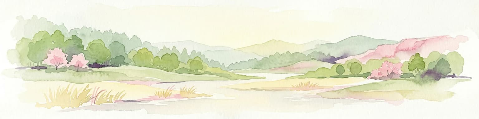
Hortobágy National Park is a monumental protected area in Eastern Hungary, recognized globally as the first national park established in the country and a UNESCO World Heritage site. This vast expanse of semi-natural grassland, known as the puszta, stretches across approximately 74,820 hectares, embodying over four millennia of pastoral traditions. The park's landscape is characterized by alkaline soils and sweeping horizons, offering a unique ecosystem with significant avian populations and preserved cultural landmarks. MoriAtlas provides structured geographic context and mapped details to understand this exceptional protected landscape.

Area
748.2 km²
Established
1973
Relief
Lowland
Climate
Temperate
Watercolor painting showing a winding river, green trees, distant hills, and grassy foreground
National park

Aggtelek National Park

Karst Landscape & Cave Systems

Explore the protected area of Aggtelek National Park, a UNESCO World Heritage site known for its extensive karst landscapes and significant cave systems. Understand its geographic setting and protected land status.

Area
198.92 km²
Established
1985
IUCN
II
Relief
Mixed relief
National parkBorsod-Abaúj-Zemplén County

Bükk National Park: Hungary's Largest National Park with Karst Terrain

Explore mapped boundaries and unique protected landscapes.

Bükk National Park, a protected national park located in Borsod-Abaúj-Zemplén County, Hungary, is recognized for its immense karst landscape. This park offers a significant focus for atlas exploration, with its extensive cave systems, limestone plateaus, and ancient forests providing a unique geographic context for understanding protected areas. Discover the diverse terrain and geological features that define this expansive Hungarian national park.

Area
431.3 km²
Established
1977
IUCN
II
Relief
Mixed relief
National parkPest County

Danube-Ipoly National Park: Protected Landscape and Geographic Atlas

Mapping Hungary's diverse terrain and protected natural areas.

Delve into Danube-Ipoly National Park, a significant protected area renowned for its extraordinary ecological diversity. This page explores the park's distinct landscapes, from the volcanic formations of the Börzsöny Mountains to the deep karst cave systems of the Pilis, set against the backdrop of the Danube and Ipoly river floodplains. Understand its geographic placement within Pest County and its role as a vital protected landscape for conservation and atlas-based discovery.

Area
603.14 km²
Established
1997
Relief
Mixed relief
Climate
Temperate
Watercolor painting of rolling hills, green fields, and a winding path
National park

Kiskunság National Park: Explore Hungary's Puszta Grassland and Unique Sand Dune Terrain

Discover protected landscapes, alkaline lakes, and bird habitats.

Kiskunság National Park in Hungary offers a rare glimpse into the traditional puszta grassland ecosystem, featuring dynamic sand dunes and numerous alkaline lakes. This protected area is vital for migratory bird populations and showcases a distinctive lowland geography shaped by natural processes and pastoral heritage. Explore its scattered territorial units to understand the unique landscape context of the Great Hungarian Plain.

Area
530 km²
Established
1975
IUCN
II
Relief
Lowland
National park

Balaton Uplands National Park: Mapped Volcanic Terrain and Protected Landscape Atlas

Explore Hungary's protected volcanic landscape and its regional geography.

Balaton Uplands National Park presents a compelling study in volcanic geography, showcasing dramatic 'witness mountains' and diverse terrains. As a protected national park in Hungary, it offers rich opportunities for atlas-style exploration of its mapped boundaries, unique basalt formations, and significant wetland areas. Discover the distinct geological narrative and landscape context of this protected region, providing a clear point of reference for understanding Hungary's natural heritage through structured geographic data.

Area
569.97 km²
Established
1997
Relief
Highland
Climate
Temperate
Watercolor illustration of a landscape with green hills, a body of water, and trees under a soft sky
National parkGyőr-Moson-Sopron

Fertő-Hanság National Park: Central European Wetland and Salt Lake Protected Area

Mapped Geographic Boundaries and Landscape Context

Fertő-Hanság National Park, situated in Győr-Moson-Sopron, Hungary, is a vital protected landscape renowned for its shallow salt lake and expansive marshlands. This page provides an atlas-focused discovery of its protected area, highlighting the unique interplay of reed beds and alkaline grasslands. Understand the park's geographic setting and its role as a significant wetland ecosystem for bird populations and specialized flora.

Area
235.88 km²
Established
1991
Relief
Lowland
Climate
Temperate
Watercolor illustration of a river flowing through a valley with mountains in the background
National parkBékés County

Körös-Maros National Park: National Park Identity and Békés County Landscape Context

Explore its mapped protected areas, wetlands, and steppe grasslands.

Körös-Maros National Park is a designated national park located in Békés County, Hungary, recognized for its expansive wetland ecosystems and steppe grassland habitats. This protected area plays a critical role in the geography of the Southern Great Plain, serving as a vital migration corridor for diverse bird populations. Users can explore the park's distinct landscape features, mapped protected boundaries, and its significance as a hub for avian conservation.

Area
501.34 km²
Established
1997
Relief
Lowland
Climate
Temperate
Landscape and environment

Understand how Hungary is shaped by terrain, ecosystems, and seasonal conditions

Hungary geography, nature, climate, and landscape context for park-focused travel research
Explore the physical geography, natural setting, and climate patterns of Hungary through a location-first overview built for travel research, national park discovery, and broader regional context. This section helps explain how landscapes, habitats, and environmental conditions shape what people search for, where they travel, and how they experience protected areas in Hungary.

Hungary geography and landscape

Hungary occupies the Carpathian Basin in Central Europe, a large lowland plain surrounded by the Carpathian Mountains. It is bordered by Slovakia to the north, Ukraine to the northeast, Romania to the east and southeast, Serbia to the south, Croatia and Slovenia to the southwest, and Austria to the west. The Danube River flows through the country, providing its primary drainage.

Hungary nature and environment

Hungary's terrain is predominantly flat plains, particularly the Great Hungarian Plain (Alföld) in the east. The landscape includes the Transdanubian Hills in the west and small mountainous regions in the north. The country has several national parks protecting diverse ecosystems.

Hungary climate and seasonal conditions

Hungary has a continental climate with cold winters and warm summers. Average temperatures range from -1°C in January to 21°C in July. Annual precipitation averages around 600mm, with a dry period in autumn.

Explore this place

Related topics and popular queries

Ways to explore Hungary
Useful phrases, related topics, and discovery prompts connected to Hungary.
hungary location central europewhat is hungary known forcarpathian basin countrieshungary capital budapestdanube river basin countrieslandlocked countries europehungary population and areahungary countrylandlocked central europecarpathian basinpannonian basinhungary geographybudapest capitaldanube river countrieshungary neighborseuropean union member
Park map

Visualize Hungary's diverse protected landscapes across the Carpathian Basin, comparing the spatial spread of its key natural conservation zones.

Explore the National Parks Map of Hungary: Locations, Protected Areas, and Geographic Distribution
Discover the geographic placement of Hungary's national parks and other important protected areas, understanding their distribution across the Pannonian Basin's varied terrain. Utilize this country-level map preview to grasp the regional context of conservation landscapes before navigating to the dedicated full map for in-depth spatial exploration.

Exploring Hungary's Diverse Protected Landscapes, Park Geography, and Regional Distribution

Frequently Asked Questions About Hungary's National Parks and Protected Areas
Explore frequently asked questions to understand Hungary's national parks, protected areas, and their unique geographical context within the Carpathian Basin. These insights provide essential information for mapping Hungary's diverse conservation landscapes, from vast grasslands like the Puszta to significant cave systems, aiding in geographic discovery of its natural heritage.
Other countries

Compare the Mapped Geography and Protected Landscapes of Central Europe and the Carpathian Basin

Explore National Parks and Protected Areas Beyond Hungary: Discover Neighboring Countries
Browse the national parks and protected areas of countries geographically adjacent to Hungary, including those sharing the broader Pannonian and Carpathian Basins. This country-level atlas view offers structured geographic context and aids in understanding regional conservation landscapes across Central Europe.

Romania National Parks and Protected Areas Atlas for Geographic Exploration

This atlas entry point provides structured access to Romania's national parks and protected areas. Explore the geographic distribution of mapped natural landscapes and understand the context of protected territories within the country. MoriAtlas enables detailed map-based navigation and discovery of Romania's diverse natural terrain and conservation zones.

28 parks

Croatia National Parks and Protected Areas: Geographic Atlas Explorer

MoriAtlas provides a geographic atlas for exploring Croatia's national parks and protected areas. Navigate the mapped boundaries and understand the distribution of protected lands throughout the country. This resource focuses on the structured discovery of natural landscapes and regional geography, offering a clear overview for understanding conservation areas within Croatia's diverse terrain.

11 parks

Slovakia National Parks and Protected Areas: Mapped Geographic Exploration

Delve into the structured atlas of Slovakia's national parks and protected areas. This page offers a geographically organized perspective, highlighting the distribution of protected lands and natural landscapes across the country. Understand the regional context and mapped boundaries of Slovakia's significant natural territories, providing a foundation for detailed geographic discovery and comparative exploration.

10 parks

Serbia National Parks and Protected Areas: Mapped Landscape Exploration

Discover the protected areas and national parks within Serbia through a structured geographic atlas interface. MoriAtlas details the mapped landscapes and regional natural terrain, allowing users to explore the full scope of conservation efforts across the country. Understand how protected lands are situated within the broader Serbian geography, facilitating a deeper, map-aware approach to natural landscape discovery.

9 parks

Austria National Parks and Protected Areas: Geographic Atlas and Landscape Exploration

Navigate Austria's protected natural areas with a focus on geographic discovery. This atlas view highlights the distribution of national parks and significant protected landscapes, offering insights into regional terrain and mapped park boundaries for structured exploration.

6 parks

Czechia National Parks and Protected Areas: Mapped Landscapes and Geographic Context

MoriAtlas presents a structured atlas view for discovering national parks and protected areas within Czechia. Examine the geographic spread and mapped boundaries of these significant natural landscapes. This resource aids in understanding the country's protected land distribution and regional geographic context, moving beyond simple listings to a deeper, map-aware exploration of Czechia's natural heritage.

5 parks

Bosnia and Herzegovina: National Parks and Protected Lands Map Overview

Delve into the protected natural areas of Bosnia and Herzegovina, a key Balkan country. This resource provides a structured view of national parks and other conservation landscapes, emphasizing their geographic distribution and regional context. Understand the mapped boundaries and terrain of these important natural territories, offering a comprehensive atlas-style exploration for geographic understanding.

3 parks

Explore Slovenia's National Parks and Protected Areas: A Geographic Overview

This entry point to Slovenia's protected natural areas allows for structured geographic exploration. Understand the placement and scope of national parks and other designated lands across the country, using MoriAtlas to visualize their mapped boundaries and regional context. It serves as a comprehensive atlas for discovering Slovenia's diverse natural terrain and conservation efforts.

2 parks
MoriAtlas Explorer

Continue Your Global Geographic Exploration with MoriAtlas Park Discovery

Dive deeper into the world's protected landscapes and national parks through MoriAtlas's structured atlas interface. Discover how continents and countries are organized, and how individual park geography fits into the broader map. Our platform is built for understanding the distribution and context of protected areas worldwide, facilitating your journey through global natural geography.

Global natural geography