National parkHungary
Hortobágy National Park
Explore the unique geography and mapped park boundaries of Hungary's first national park.
Hortobágy National Park, in Hungary. Landscapes: grasslands, wetlands, and rivers.
748.2 km²1973TemperateII

Discover the geographic spread and mapped boundaries of Hungary's diverse protected lands.
Browse profiles of parks and protected areas in Hungary, including Hortobágy and Aggtelek.
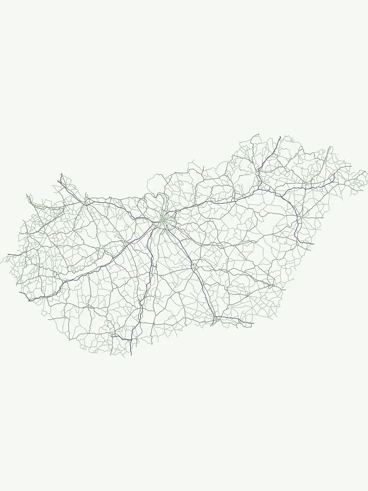
Explore the Geographic Spread and Diverse Protected Landscapes Across Hungary's Carpathian Basin
Browse a complete atlas of Hungary's national parks, nature reserves, and other protected areas, encompassing varied terrain from the Pannonian Basin to ancient cave systems and steppe grasslands. Understanding the full scope of protected landscapes across Hungary provides valuable context for regional park exploration and tracing the country's unique conservation efforts.
Showing 1 to 13 of 13 parks
Explore the unique geography and mapped park boundaries of Hungary's first national park.
Hortobágy National Park, in Hungary. Landscapes: grasslands, wetlands, and rivers.

Karst Landscape & Cave Systems
Aggtelek National Park, in Hungary. Landscapes: mountains, hills, and valleys.
Volcanic witness mountains and tectonic wetland systems
Lake Balaton, in Transdanubia, Hungary.

Discover protected landscapes, alkaline lakes, and bird habitats.
Kiskunság National Park, in Hungary. Landscapes: grasslands, wetlands, and dunes.

Mapped terrain, peat bogs, and ancient forests in Hungary.
As Hungary's youngest national park, Őrség National Park offers a distinctive protected landscape defined by rolling hills, ancient woodlands, and rare peat bogs. This entry provides detailed geographic context, mapping its boundaries and showcasing its natural terrain. Discover the unique ecosystem, shaped by centuries of traditional land use and its subalpine climate, presented within MoriAtlas for structured exploration and regional geographic understanding.

Mapping the protected river corridors and vital wetland ecosystems
Danube-Drava National Park, in Hungary. Landscapes: rivers, wetlands, and marshes.

Mapped Geographic Boundaries and Landscape Context
Fertő-Hanság National Park, in Győr-Moson-Sopron County, Hungary. Landscapes: lakes, wetlands, and grasslands.

Explore mapped boundaries and unique protected landscapes.
Bükk National Park, in Borsod-Abaúj-Zemplén County, Hungary. Landscapes: mountains, forests, and caves.
Mapping Hungary's diverse terrain and protected natural areas.
Delve into Danube-Ipoly National Park, a significant protected area renowned for its extraordinary ecological diversity. This page explores the park's distinct landscapes, from the volcanic formations of the Börzsöny Mountains to the deep karst cave systems of the Pilis, set against the backdrop of the Danube and Ipoly river floodplains. Understand its geographic placement within Pest County and its role as a vital protected landscape for conservation and atlas-based discovery.
Explore Hungary's protected volcanic landscape and its regional geography.
Balaton Uplands National Park presents a compelling study in volcanic geography, showcasing dramatic 'witness mountains' and diverse terrains. As a protected national park in Hungary, it offers rich opportunities for atlas-style exploration of its mapped boundaries, unique basalt formations, and significant wetland areas. Discover the distinct geological narrative and landscape context of this protected region, providing a clear point of reference for understanding Hungary's natural heritage through structured geographic data.
A mapped overview of the Aggtelek Karst subterranean systems.
Baradla Cave functions as a protected natural monument, offering a comprehensive look at the geological processes within the Aggtelek Karst. The system is defined by its seven-kilometer main passage, giant chambers, and extraordinary variety of stalactite and stalagmite formations, revealing how climate and water have shaped the underground landscape over millennia.
Explore its mapped protected areas, wetlands, and steppe grasslands.
Körös-Maros National Park is a designated national park located in Békés County, Hungary, recognized for its expansive wetland ecosystems and steppe grassland habitats. This protected area plays a critical role in the geography of the Southern Great Plain, serving as a vital migration corridor for diverse bird populations. Users can explore the park's distinct landscape features, mapped protected boundaries, and its significance as a hub for avian conservation.
Explore the geography of alluvial forests and river-fed wetlands
Gemenc stands as a testament to natural floodplain dynamics, stretching along the Danube in southern Hungary as a vast corridor of alluvial woodland. The protected area encompasses a rich variety of riverine terrain, including meandering oxbows, islands, and diverse forest mosaics that host significant animal populations. Utilize this geographic reference to understand the landscape context and natural boundaries of one of the most prominent wetland reserves in the Carpathian Basin.
Compare the Mapped Geography and Protected Landscapes of Central Europe and the Carpathian Basin
Parks and protected areas in Czech Republic, including NP Šumava and KRNAP.
Parks and protected areas in Romania, including Danube Delta and Retezat.
Parks and protected areas in Austria, including Neusiedler See and Hohe Tauern.
Parks and protected areas in Serbia, including Đerdap and Tara.
Parks and protected areas in Croatia, including Plitvice Lakes and Paklenica.
Parks and protected areas in Slovakia, including TANAP and Poloniny.
Parks and protected areas in Slovenia, including TNP and Škocjan Caves.
Parks and protected areas in Bosnia and Herzegovina, including Sutjeska and Una.
Protected area types
Deepen your understanding of Hungary's natural landscapes by exploring the specific categories of protected areas detailed on this route. Each classification, from National Parks to other significant reserves, offers a unique lens through which to view the country's geography and conservation efforts. Use this pathway to uncover the mapped boundaries and regional context of Hungary's diverse protected lands and enhance your overall grasp of its ecological framework.
Narrow your search for parks in Hungary by environmental characteristics.