Mori Atlas logo
National parkŐrség National Park

Discover its rolling hills, ancient forests, and unique peat bogs through a geographic atlas lens.

Őrség National Park: A Mapped Protected Landscape in Hungary's Westernmost Frontier

(Őrségi Nemzeti Park)

Őrség National Park, established in 2002, represents Hungary's youngest national park and a vital protected landscape in its westernmost corner. Spanning 440 square kilometers across historical settlements, this region offers a unique geographic context, characterized by rolling hills, dense forests, and numerous springs feeding intricate stream networks. Its landscape preserves rare Ice Age relics in its peat bogs, alongside ancient woodlands, providing a rich basis for atlas-driven discovery of its natural terrain and protected boundaries.

National ParksForestsPeat BogsWetlandsOld Growth ForestsTransboundary Conservation
Illustration of a lake bordered by grassy shore with reeds, forested hills, and mountains in the background

Őrség National Park

National park

Park overview

Structured park overview, official facts, and landscape profile for Őrség National Park

Őrség National Park park facts, protected area profile, and essential visitor context
Review the core facts for Őrség National Park, including designation, size, terrain, visitor scale, habitats, and operating context in one park-focused overview.

About Őrség National Park

Őrség National Park occupies a distinctive position in Hungary's protected area network as the country's tenth and youngest national park, established in March 2002. The park's creation followed years of advocacy by conservation organizations, though the initial designation proved短暂—after being dissolved in 2007 and merged with Fertő-Hanság National Park for administrative efficiency, it regained independent status in April 2008. The park encompasses the historical Őrség territory, which originally comprised 18 villages under the medieval 'őrispánság' administrative system, now expanded to 33 settlements including seven in the Vendvidék region. The protection framework extends across the border into Austrian Burgenland as 'Felső-Őrség,' recognizing the transboundary nature of this landscape unit. The region's cultural identity remains strong, with traditional architecture, small-scale farming practices, and distinctive local heritage preserved through active village communities. The park administration operates from Őriszentpéter and maintains visitor facilities including interpretation centers and a network of educational trails that showcase both natural and cultural values.

Quick facts and research context for Őrség National Park

Located in western Hungary near the Austrian border, Őrség National Park protects a landscape of rolling hills, extensive forests, and wetland peat bogs. The park encompasses the traditional Őrség and Vendvidék regions, together with the Rába river valley and surrounding areas around Szentgyörgyvölgy. With 44 municipalities within its boundaries and an area of 440 km², it is one of Hungary's larger protected areas. The park's headquarters are located in Őriszentpéter, and the entire territory is designated as part of the European Natura 2000 network, with 3,104 hectares receiving strict protection status.

Park context

Deeper park guide and search-rich context for Őrség National Park

Őrség National Park history, landscape, wildlife, and travel context
Explore Őrség National Park through its history, landscape character, ecosystems, wildlife, conservation priorities, cultural context, and seasonal travel timing in a structured park guide built for atlas discovery and search intent.

Why Őrség National Park stands out

Őrség National Park is renowned for its exceptional peat bogs, particularly the Szőce tőzegmohás láp, which preserves rare species from the last Ice Age and contains ten rare moss species. The ancient forest at Szalafő, untouched since 1950, serves as a living laboratory for natural forest succession studies. The park also protects the Western Capercaillie (Tetrao urogallus) as its emblematic species. The landscape is distinguished by its subalpine character despite relatively modest elevation, with beech forests, coniferous woodlands, and alpine flora elements typically found at much higher latitudes. The region also preserves the historic 'őrispánság' territorial system and traditional rural architecture.

A lake surrounded by grassy shoreline and forested hills under a partly cloudy sky
Landscape view of Őrség National Park featuring a calm lake bordered by grassy shores and forested hills

Őrség National Park history and protected-area timeline

Őrség National Park was established on March 1, 2002, becoming Hungary's tenth national park. The designation followed the earlier creation of the Őrségi Tájvédelmi Körzet (Őrség Landscape Protection Area), which provided initial conservation status to the region. The park's establishment was not without controversy—professional and civil environmental organizations protested the initial designation, and in 2007, the park was dissolved and merged with the Fertő-Hanság National Park for cost-efficiency reasons. This administrative consolidation proved short-lived, and since April 1, 2008, Őrség National Park has operated as an independent protected area. The park's administrative center is located in Őriszentpéter, from which management, visitor services, and conservation programs are coordinated.

Őrség National Park landscape and geographic character

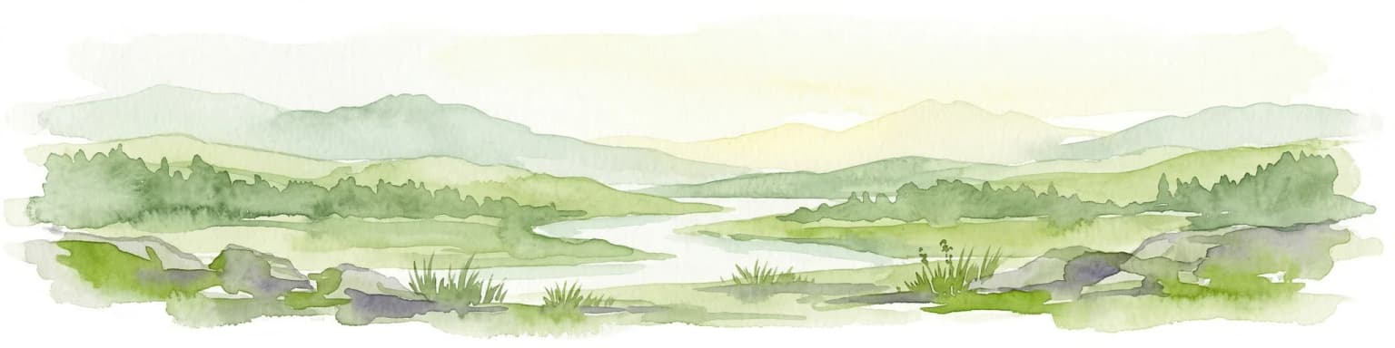
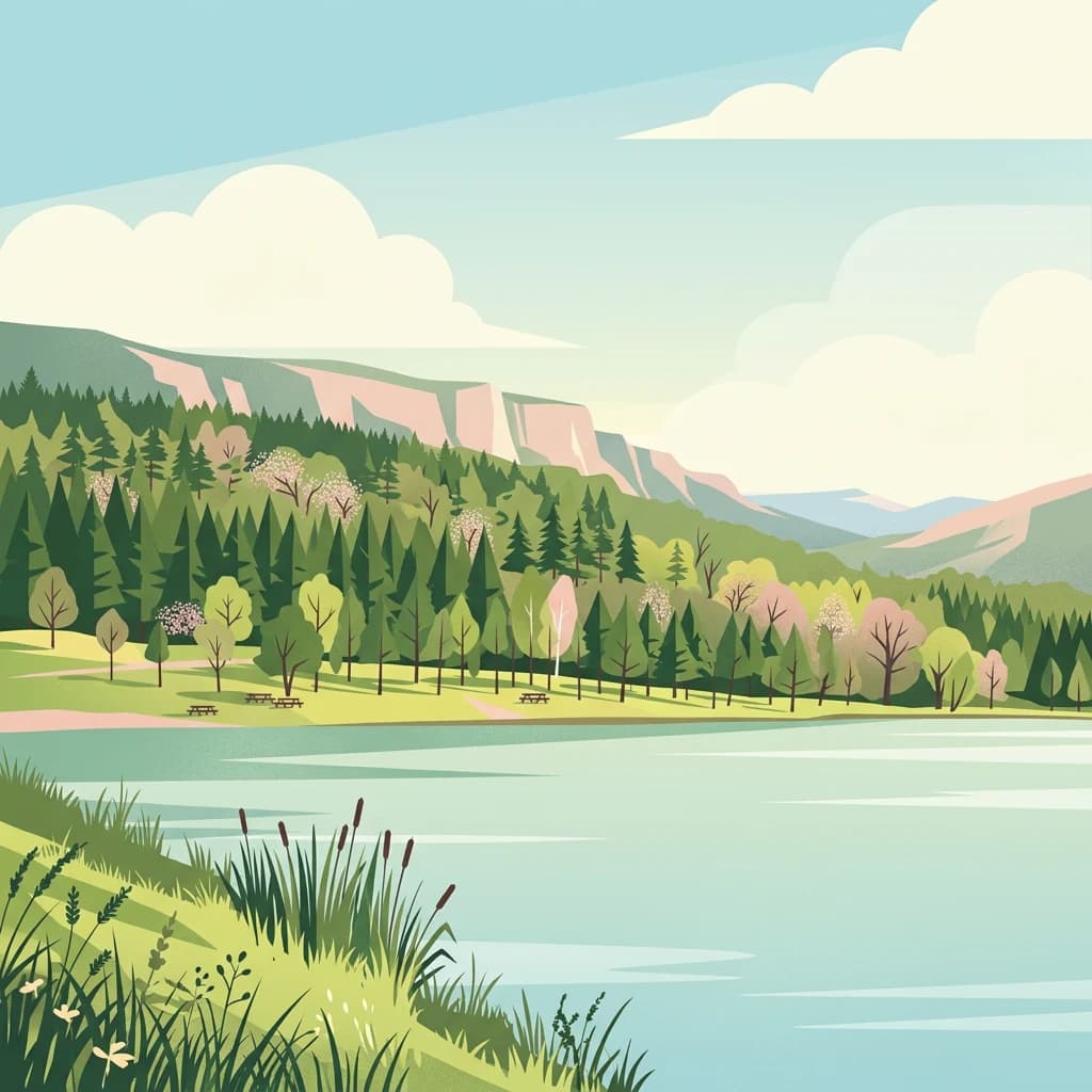
The Őrség landscape consists of rolling hills and valleys carved by ancient river systems. The area was once covered by the paleo-Rába river, whose gravel deposits now form the underlying geology of the region. The terrain is punctuated by approximately 200 springs that feed 15 distinct streams, creating a well-watered environment with significant wetland areas. The principal watercourse is the Rába River, while the Zala River originates north of Szalafő and bisects the Őrség centrally, and the Kerka represents the third major water system. Several artificial lakes have been created through stream damming for both ecological and tourism purposes. The Kőszegi Mountains form the northern boundary of the park, while the volcanic Ság hegy (Ság mountain) represents an unusual geological feature—a basalt-capped remnant of volcanic activity five million years ago, though extensive quarrying has altered its original profile. The landscape maintains a human-influenced character through centuries of small-scale farming that created the distinctive mosaic of fields, meadows, forests, and settlement edges that defines the region.

Őrség National Park ecosystems, habitats, and plant life

The ecological character of Őrség National Park is defined by its position at the intersection of Alpine and Pannonian biogeographic provinces, creating a subalpine environment at relatively modest elevations. The proximity to the Alps allows mountain species to extend into Hungary here at their easternmost limits. Beech forests (bükkösök) and coniferous plantations dominate the woodland, with spruce and pine in higher areas. The vegetation includes numerous alpine and subalpine species such as the rare Daphne cneorum (trailing rose), Gentiana cruciata (cross gentian), and Lilium bulbiferum (orange lily). The most significant ecological treasure is the Szőce peat bog, a remnant from the Würm glacial period containing ten rare peat moss species (Sphagnum), including one found only here in Hungary. Between Szalafő and Farkasfa, the 'primeval forest' has been left untouched since 1950, allowing natural forest dynamics to proceed without human intervention—a rare conservation reference site. The park also protects the Szentgyörgyvölgyi szálaló erdő, a selectively logged forest where traditional 'szálaló' management preserved near-natural old-growth characteristics through careful removal of only mature trees.

Őrség National Park wildlife and species highlights

The wildlife of Őrség National Park reflects the region's ecological diversity and conservation value. Approximately 1,500 butterfly species have been recorded in the park, representing exceptional Lepidoptera diversity. The Kerka valley supports rich populations of dragonflies and mayflies, indicating good water quality and habitat complexity. The Western Capercaillie (Tetrao urogallus), known in Hungarian as 'siketfajd,' serves as the park's emblematic species—a large grouse of boreal and montane forests that reaches the southern edge of its range here. The park has undertaken species recovery programs, including efforts to preserve the Muraközi horse, a traditional Hungarian breed, and notably launched a European bison reintroduction project in 2019 at the Hegy-völgy area near Kondorfa, where a 70-hectare electric-fenced enclosure was established to support the gradual rewilding of this flagship species. Rare breeding birds include the crossbill (Loxia curvirostra), bullfinch (Pyrrhula pyrrhula), corncrake (Crex crex), and black stork (Ciconia nigra). Amphibians such as the alpine newt (Triturus alpestris) and yellow-bellied toad (Bombina variegata) inhabit the wetland areas.

Őrség National Park conservation status and protection priorities

Őrség National Park holds significant conservation value as Hungary's westernmost protected area and a key component of the European Natura 2000 network. The park's strict protection zone covers 3,104 hectares of the most sensitive habitats, including the remarkable peat bogs and old-growth forest remnants. The Szőce peat bog represents one of Hungary's most important wetland conservation sites, preserving relict species from the last glacial period. The park's participation in Natura 2000 ensures coordination with Austrian conservation efforts across the border, recognizing the transboundary character of the Őrség landscape. Notable conservation initiatives include the European bison reintroduction program initiated in 2019, representing Hungary's effort to restore a keystone species to the Carpathian ecosystem. The park also manages the recovery of traditional Hungarian livestock breeds and maintains research plots like the Szalafő ancient forest, where natural succession processes are studied without interference.

Őrség National Park cultural meaning and human context

The Őrség region possesses deep historical roots as a frontier territory of the Carpathian Basin. The name 'Őrség' directly references its historic function—'watch post' or 'guard post'—established by the Magyars to monitor the western approaches to their new homeland in the late 9th and early 10th centuries. The medieval administrative unit known as the 'őrispánság' governed this frontier zone, comprising 18 villages organized for border defense. This territorial identity persisted through centuries, and the current park boundaries encompass the expanded region of 33 settlements. Traditional rural land use practices shaped the landscape through small-scale farming that maintained ecological diversity—rotation grazing, selective forest management, and mosaic farmland created the conditions for high biodiversity. The Vendvidék area within the park preserves Slovene ethnic heritage, with cultural traditions distinct from the broader Hungarian context. Village architecture features traditional farmsteads and churches that reflect the region's cultural layers. The park's educational trails, particularly at Pityerszer, interpret this cultural heritage alongside natural values.

Top sights and standout views in Őrség National Park

The Szőce peat bog represents the crown jewel of Őrség's conservation values—a rare boreal relict containing species found nowhere else in Hungary. The Szalafő ancient forest, uncut since 1950, provides a unique window into natural forest dynamics. The 2019 reintroduction of European bison marks a significant milestone in Central European rewilding efforts. The network of over a dozen educational trails, including the Ság hegy geological path and the wetland-focused Lápok Háza at Szőce, offers accessible interpretation of both natural and cultural values. The transboundary continuity with Austrian Burgenland creates one of Central Europe's more extensive cross-border conservation areas.

Best time to visit Őrség National Park

The subalpine climate makes Őrség suitable for visits throughout the growing season, with late spring through early autumn offering the best conditions for wildlife observation and trail exploration. May and June bring peak wildflower displays in meadows and forests, while the peat bogs are particularly vibrant in early summer. Autumn offers forest color and mushroom season, though the region sees less visitor traffic than during peak summer months. The wet climate means conditions can be variable—prepared footwear and weather-appropriate clothing are advisable year-round. Winter visits allow for different landscape character, though some trails may have limited accessibility.

Park location guide

Geography guide, regional context, and park location map for Őrség National Park

Őrség National Park park geography, regions, and map view in Hungary
Understand where Őrség National Park sits in Hungary through a broader geographic reading of the surrounding landscape, nearby location context, and its mapped position within the national park landscape.

How Őrség National Park fits into Hungary

Hungary is a landlocked Central European country occupying the Carpathian Basin, also known as the Pannonian Basin. It borders Slovakia, Ukraine, Romania, Serbia, Croatia, Slovenia, and Austria. Budapest serves as both the capital and largest city. The population is predominantly ethnic Hungarians (Magyars), with Hungarian as the official language.

Wider geography shaping Őrség National Park in Hungary

Hungary occupies the Carpathian Basin in Central Europe, a large lowland plain surrounded by the Carpathian Mountains. It is bordered by Slovakia to the north, Ukraine to the northeast, Romania to the east and southeast, Serbia to the south, Croatia and Slovenia to the southwest, and Austria to the west. The Danube River flows through the country, providing its primary drainage.

Map view of Őrség National Park

Use this park location map to pinpoint Őrség National Park in Hungary, understand its exact geographic position, and read its mapped placement within the surrounding landscape more clearly.

Pigeon | © OpenStreetMap contributors

Location context for Őrség National Park

Vas

Browse detailed imagery to understand the rolling hills, ancient forests, and rare peat bogs that define Őrség's distinct protected-area environment.

Explore Őrség National Park Photos: Visualizing Hungary's Unique Landscapes and Protected Habitats
Visually explore the diverse landscapes of Őrség National Park through comprehensive imagery, showcasing its unique subalpine environment, ancient forests, and extensive peat bogs. Understanding the park's characteristic mosaic of traditional farmlands, river valleys, and rare wetland habitats is essential for appreciating this protected area's distinct regional geography.

A lake surrounded by grassy shoreline and forested hills under a partly cloudy sky

Park atlas

Map the regional protected landscapes surrounding Őrség National Park, comparing adjacent natural areas.

Discover Related National Parks and Protected Areas Near Őrség National Park in Hungary
Extend your discovery beyond Őrség National Park by browsing other protected areas and national parks that share its regional geography and conservation characteristics. This structured overview facilitates geographic comparison of diverse protected landscapes, from forests and peat bogs to transboundary conservation areas, deepening your atlas-style exploration.
Watercolor painting showing a landscape with rolling terrain, water features, and distant mountains
National parkBurgenland

Neusiedler See-Seewinkel National Park: Protected Steppe Lake Landscape in Burgenland

Explore mapped wetland geography and birdwatching significance.

Neusiedler See-Seewinkel National Park showcases a rare steppe lake environment and extensive wetland habitats at the eastern edge of Austria, within the Burgenland region. This protected area is globally recognized for its exceptional avian diversity and the unique ecological mosaic formed by reed beds, salt marshes, and seasonal pools. Explore its mapped boundaries and distinctive Pannonian geography for a deep understanding of this vital European protected landscape.

Area
97 km²
Established
1993
IUCN
II
Relief
Lowland
Watercolor illustration of a landscape with green hills, a body of water, and trees under a soft sky
National parkGyőr-Moson-Sopron

Fertő-Hanság National Park: Central European Wetland and Salt Lake Protected Area

Mapped Geographic Boundaries and Landscape Context

Fertő-Hanság National Park, situated in Győr-Moson-Sopron, Hungary, is a vital protected landscape renowned for its shallow salt lake and expansive marshlands. This page provides an atlas-focused discovery of its protected area, highlighting the unique interplay of reed beds and alkaline grasslands. Understand the park's geographic setting and its role as a significant wetland ecosystem for bird populations and specialized flora.

Area
235.88 km²
Established
1991
IUCN
II
Relief
Lowland
Watercolor illustration of a landscape with rolling hills, scattered trees, and a winding river.
Protected landscape

Medvednica Nature Park: Mapped Protected Landscape and Central European Karst Geography

Explore protected area boundaries and natural terrain.

Medvednica Nature Park stands as a significant protected landscape, renowned for its complex karst topography and extensive cave networks, including the notable Veternica cave. Located immediately north of Zagreb, Croatia, this park offers a rich tapestry of central European mountain geography, dominated by dense beech and oak forests. Its unique features, such as the karst fields and rounded ridges, contribute to its distinct identity within Croatia's protected areas. MoriAtlas maps its geography, providing context for its ecological value and recreational significance.

Established
1981
IUCN
V
Relief
Mountain
Climate
Temperate
National park

Balaton Uplands National Park: Mapped Volcanic Terrain and Protected Landscape Atlas

Explore Hungary's protected volcanic landscape and its regional geography.

Balaton Uplands National Park presents a compelling study in volcanic geography, showcasing dramatic 'witness mountains' and diverse terrains. As a protected national park in Hungary, it offers rich opportunities for atlas-style exploration of its mapped boundaries, unique basalt formations, and significant wetland areas. Discover the distinct geological narrative and landscape context of this protected region, providing a clear point of reference for understanding Hungary's natural heritage through structured geographic data.

Area
569.97 km²
Established
1997
IUCN
II
Relief
Highland
National parkLower Austria

Danube-Auen National Park: Protected Floodplain Ecosystem and Regional Geography

Mapped boundaries and vital riparian landscape in Lower Austria.

Delve into the unique protected landscape of Danube-Auen National Park, a cornerstone of Central European riparian conservation. This page offers detailed insights into its mapped boundaries, the dynamic interplay of river channels, lowland forests, and wetlands, and its significant role within the geographic context of Lower Austria. Understand the atlas value of this protected area, ideal for discovering rich natural terrain and ecosystem context.

Area
93 km²
Established
1996
IUCN
II
Relief
Lowland
National parkStyria

Gesäuse National Park: Detailed Protected Landscape and Alpine Geography in Styria

Explore Austria's dramatic river gorge and rugged peaks.

Gesäuse National Park in Styria represents a significant alpine protected area, characterized by the striking Enns river gorge cutting through the Gesäuseberge. This national park offers a unique geographic context, showcasing steep limestone peaks, dramatic rock faces, and a rich hydrological network. Discover the mapped boundaries and protected landscape of one of Austria's most visually striking natural passages, ideal for detailed atlas exploration and understanding alpine conservation.

Area
110 km²
Established
2002
IUCN
II
Relief
Mountain
Watercolor illustration of a wetland with river, trees, and distant hills
Protected landscapeSisak-Moslavina County

Lonjsko Polje Protected Landscape: Explore Croatia's Largest Inland Wetland and Pastoral Heritage

Discover mapped natural landscapes and unique floodplain geography.

Lonjsko Polje, a significant protected landscape in Croatia's Sisak-Moslavina County, represents the largest inland wetland within the Danube basin. This area is characterized by its vast alluvial floodplain, shaped by seasonal river dynamics, which fosters diverse habitats for wildlife and preserves a rare example of traditional pastoral culture. Explore the mapped geography and understand the ecological importance of this unique wetland ecosystem through structured atlas-style content.

Area
505.6 km²
Established
1998
IUCN
V
Relief
Lowland
Watercolor painting of a mountain landscape featuring a river, hills, and vegetation
Nature reservePožega-Slavonia County

Papuk Nature Park: Explore Croatia's Foremost Geopark and Mountain Landscape

Mapped protected area with significant geological heritage in Slavonia.

Papuk Nature Park stands as a cornerstone of geological discovery in Croatia, celebrated as the nation's first UNESCO Global Geopark. Within Požega-Slavonia County, its mountainous terrain features dramatic ridgelines, ancient rock formations like Sokoline stijene, and extensive forests. This protected area offers a unique landscape context for atlas-driven exploration, detailing its mapped boundaries and its critical role in preserving Slavonia's highland geography and geological heritage.

Established
1999
IUCN
V
Relief
Highland
Climate
Temperate

Common questions about visiting, size, designation, and location context for Őrség National Park

Őrség National Park FAQs for park facts, access, geography, and protected area context
Find quick answers about Őrség National Park, including protected-area facts, park geography, trail and visitor context, and how the park fits into its surrounding country and regional landscape.
MoriAtlas Explorer

Continue Your Protected Areas Search Across the Global Atlas

Deepen your exploration by continuing the structured search for national parks and protected areas worldwide. Utilize the comprehensive filtering capabilities to compare different conservation landscapes and refine your understanding of global park geography. Discover more about the distribution and characteristics of protected natural areas.

Global natural geography