Mori Atlas logo
Protected landscapeMedvednica Nature Park

Discover the mapped geography and protected landscape identity of Medvednica.

Medvednica Nature Park: Croatia's Karst Protected Landscape North of Zagreb

(Park prirode Medvednica)

Medvednica Nature Park represents a significant protected landscape north of Zagreb, Croatia, centered around the Sljeme peak and its distinctive karst topography. This atlas entry provides detailed insight into the park's unique central European mountain environment, characterized by extensive cave systems, dense deciduous forests, and a climate distinct from the surrounding lowlands. Explore its mapped boundaries and geographic features to understand its role as a vital natural area and recreational hub.

karst landscapecavesbeech forestsoak forestswinter sportshiking
Colorful illustration of a waterfall flowing into a river, with a bridge spanning the stream, surrounded by pine trees and rolling mountains under a bright sky

Medvednica Nature Park

Protected landscape

Park overview

Structured park overview, official facts, and landscape profile for Medvednica Nature Park

Medvednica Nature Park park facts, protected area profile, and essential visitor context
Review the core facts for Medvednica Nature Park, including designation, size, terrain, visitor scale, habitats, and operating context in one park-focused overview.

About Medvednica Nature Park

Medvednica Nature Park occupies the mountainous terrain immediately north of Zagreb, forming a green backdrop to Croatia's capital city. The protected area encompasses approximately 180 square kilometers of forest, karst, and recreational landscape centered on the Sljeme peak. The mountain's name derives from the Kajkavian dialect word for bear, reflecting both the wildlife historically present in the area and the mountain's identity as a rugged natural space. The park provides essential ecosystem services to the metropolitan region while preserving significant geological, ecological, and cultural values. The karst-dominated geology shapes much of the park's character, with sinkholes, caves, and underground drainage systems defining the landscape. Surface water emerges at numerous springs, particularly along the Bliznec area which has been protected as a special reserve since 1963. The park's position at the southern edge of the historic Zagorje region gives it both geographic and cultural significance within Croatian territory.

Quick facts and research context for Medvednica Nature Park

Medvednica Nature Park is located in central Croatia, spanning parts of Zagreb, Zagreb County, and Krapina-Zagorje County. The highest peak is Sljeme at 1,035 meters. The mountain stretches approximately 42 kilometers in a northeast-southwest direction. The area features karst geology with over 100 catalogued dolines and more than 60 known caves, including the longest cave Veternica. The dominant forest types include beech, oak, and fir communities across different elevation zones.

Park context

Deeper park guide and search-rich context for Medvednica Nature Park

Medvednica Nature Park history, landscape, wildlife, and travel context
Explore Medvednica Nature Park through its history, landscape character, ecosystems, wildlife, conservation priorities, cultural context, and seasonal travel timing in a structured park guide built for atlas discovery and search intent.

Why Medvednica Nature Park stands out

Medvednica is best known for its karst landscape and cave systems, the winter sports facilities at Sljeme that host World Cup slalom competitions, and the medieval Medvedgrad castle ruins on its southwestern slopes. The mountain's proximity to Zagreb makes it uniquely accessible as a metropolitan green space, while its speleological significance and diverse forest ecosystems distinguish it as an important nature park within Croatia's protected areas network.

Waterfall cascading down rocky cliff with pedestrian bridge crossing stream, surrounded by forested area
Waterfall and pedestrian bridge in Medvednica Nature Park

Medvednica Nature Park history and protected-area timeline

Medvednica Nature Park was formally established in 1981 when the western portion of the mountain received protected status. However, the area's significance was recognized earlier, with the Bliznec-Sumarev grob area designated as a special reserve in 1963 to protect its hydrological and natural values. The mountain has long served as a recreation area for Zagreb's population, with organized hiking and mountain tourism dating to the early twentieth century. The Tomislavov Dom mountain hut, opened in 1935 at over 1,000 meters elevation, represents one of the earliest established recreational facilities and documents the mountain's popularity as a destination even in the interwar period. The ski facilities at Sljeme have developed progressively, hosting international competitions including World Cup slalom events known as the Snow Queen Trophy. A cable car system connecting the mountain to the city operated from 1963 until 2007, when it was replaced by a modern gondola facility reopened in 2022.

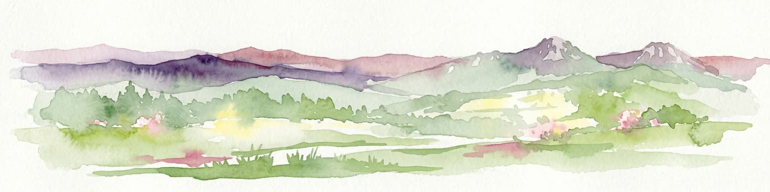
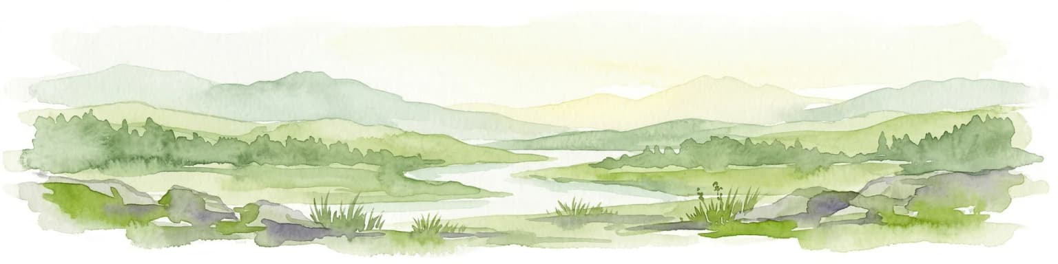
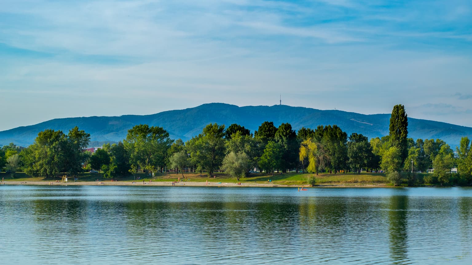
Medvednica Nature Park landscape and geographic character

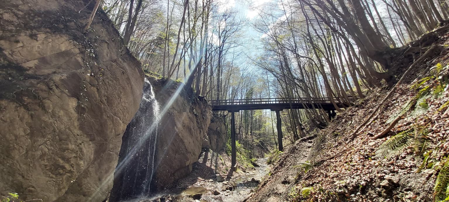
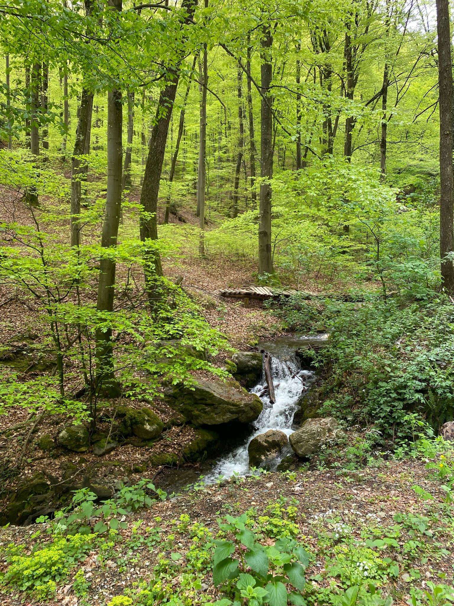
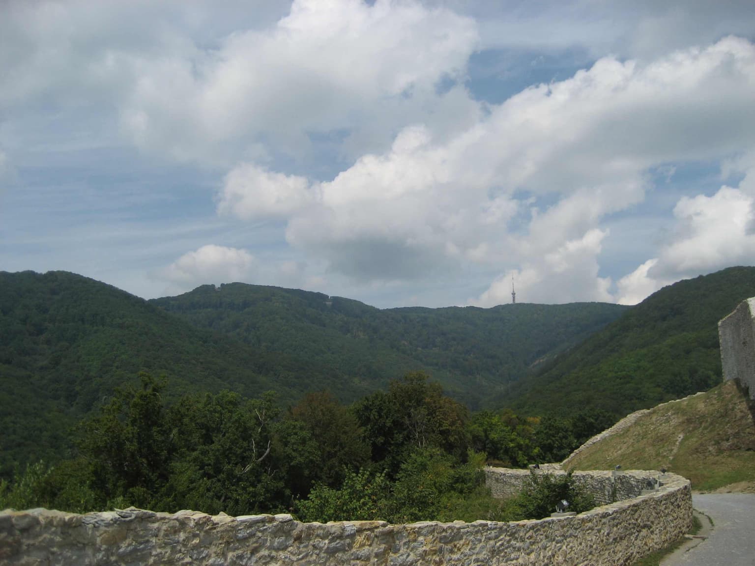
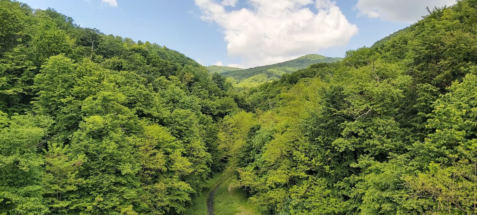
Medvednica presents a mountainous landscape of moderate elevation characterized by rounded ridges, steep valleys, and extensive karst terrain. The southwest portion of the mountain is dominated by a karst plateau featuring numerous dolines, with approximately 105 sinkholes catalogued across an area of about 15 square kilometers. The eastern side also contains significant karst outcrops including the Horvatove stube area. The landscape includes several polje or karst field depressions, the largest being Ponikve. The highest terrain centers on the Sljeme ridge, which supports the winter sports facilities and offers panoramic views extending across the Zagreb plain to the city below. Forest coverage dominates the slopes, broken by rocky outcrops and the clearings associated with mountain huts and recreational areas. Springs and small streams flow from the upper elevations, contributing to the hydrological character of the area.

Small waterfall flowing over rocks surrounded by dense green foliage and trees in a forest
Small waterfall cascading over rocks in a dense green forest within Medvednica Nature Park

Medvednica Nature Park ecosystems, habitats, and plant life

The forests of Medvednica represent the park's most significant ecological feature, organized in distinct elevation zones. Lower elevations support oak and hornbeam forests of the Epimedio carpinetum-betulu association, while middle elevations feature beech-dominated communities of the Lamio orvalae-Fagetum type. Higher elevations transition to fir-dominated forests of the Festuco drymeiae-Abietetum association. The proximity to Zagreb creates challenges from invasive species colonization, with black locust among the problematic non-native plants documented in the area. The karst geology supports specialized underground ecosystems within the cave systems. Climate conditions differ notably from the surrounding lowlands, with higher precipitation, lower temperatures, and more prolonged snow cover creating distinct ecological conditions.

Stone wall in foreground, forested hills and mountains in midground, cloudy sky in background
Panoramic view of Medvednica mountain range with stone wall in foreground

Medvednica Nature Park wildlife and species highlights

The English source provides limited specific information about wildlife populations in Medvednica Nature Park. The forest environments support typical central European woodland species, though detailed species inventories are not documented in the available sources. The cave systems provide habitat for specialized subterranean fauna associated with karst ecosystems.

Wide landscape view of a lush green forested valley with mountains in the background under a partly cloudy sky
Spring landscape of Medvednica Nature Park featuring dense forest and valley

Medvednica Nature Park conservation status and protection priorities

Medvednica Nature Park was designated in 1981 to protect the mountain's ecological values, forest ecosystems, karst landscape, and hydrological resources. The park serves an important conservation function as a green space within the metropolitan area of Zagreb, preserving forest habitats and geological features that would otherwise face development pressure. The protected status also recognizes the area's significance as a water catchment, with the Bliznec spring area receiving specific protection since 1963. Reforestation efforts have been undertaken following storm damage, with approximately 150,000 beech and oak seedlings planted between 2013 and 2025 to restore forests damaged by the 2013 Storm Theodor and 2023 Storm Rea.

Medvednica Nature Park cultural meaning and human context

Medvednica holds cultural significance for Zagreb and the surrounding region as a beloved outdoor space closely associated with the city's identity. The medieval castle Medvedgrad, located on the southwestern slopes, represents historical built heritage within the park area. The mountain appears in Croatian literature, most notably in Miroslav Krleža's poem "Po Medvednici" included in the Ballads of Petrica Kerempuh. The Kajkavian dialect name and vocabulary associated with the mountain reflect the regional cultural identity. The Sljeme peak supports a church dedicated to the Mother of God, serving as a pilgrimage destination. The mountain's role as a recreation area has deep roots in local tradition, with established hiking trails and mountain huts supporting outdoor culture.

Calm lake reflecting trees and Medvednica mountain under a clear blue sky
View of Medvednica mountain from Jarun Lake

Top sights and standout views in Medvednica Nature Park

Medvednica Nature Park combines accessibility, ecological diversity, and recreational opportunity in a setting unique among European capital-region protected areas. The karst cave systems, particularly Veternica, represent significant speleological assets. The winter sports facilities at Sljeme rank among the premier alpine ski venues in southeastern Europe. The medieval ruins of Medvedgrad castle add historical intrigue to the natural landscape. The forest ecosystems, though facing challenges from storms and invasive species, continue to provide ecological value and scenic beauty. The mountain's cultural resonance with Zagreb's population extends through literature, tradition, and ongoing recreational use.

Hikers walking on a forest path surrounded by dense green trees and vegetation
Hikers walking along a forest trail in Medvednica Nature Park

Best time to visit Medvednica Nature Park

Winter and early spring represent the most characteristic seasons for Medvednica, when snow cover transforms the mountain into a winter sports destination and the climate differs most markedly from the city below. The ski season typically extends over four months with artificial snow supplementation. Summer offers pleasant conditions for hiking in the forests, though the mountain is less visited during warmer months. Autumn provides particularly scenic conditions as the deciduous forests display fall colors. The mountain receives the most visitors during weekends throughout the year, reflecting its role as a local recreation resource.

Park location guide

Geography guide, regional context, and park location map for Medvednica Nature Park

Medvednica Nature Park park geography, regions, and map view in Croatia
Understand where Medvednica Nature Park sits in Croatia through a broader geographic reading of the surrounding landscape, nearby location context, and its mapped position within the national park landscape.

How Medvednica Nature Park fits into Croatia

Croatia is a unitary parliamentary republic located in Central and Southeast Europe along the Adriatic Sea. With an area of approximately 56,600 km² and a population of nearly 3.9 million, it is a member of the European Union and uses the Euro as its currency. Zagreb serves as both the capital and largest city.

Wider geography shaping Medvednica Nature Park in Croatia

Croatia is located in Central and Southeast Europe, bordering Slovenia and Hungary to the northwest and northeast respectively, Serbia to the east, Bosnia and Herzegovina and Montenegro to the southeast, with a maritime border with Italy to the west. The country occupies the eastern shores of the Adriatic Sea and spans the Dinaric Alps, Pannonian plain, and coastal islands.

Map view of Medvednica Nature Park

Use this park location map to pinpoint Medvednica Nature Park in Croatia, understand its exact geographic position, and read its mapped placement within the surrounding landscape more clearly.

Pigeon | © OpenStreetMap contributors

Location context for Medvednica Nature Park

Krapina-Zagorje CountyZagreb County

Visualize Medvednica's distinctive karst topography, dense deciduous forests, and accessible mountain habitats near Zagreb, Croatia.

Medvednica Nature Park Photos: Explore Karst Landscapes, Forests, and Mountain Scenery
Browse a curated gallery of Medvednica Nature Park imagery to visually understand its rugged karst formations, extensive forest ecosystems, and prominent Sljeme peak. These photographs offer critical insights into the park's diverse protected-area character and its role as a vital metropolitan mountain landscape in central Croatia.

Waterfall cascading down rocky cliff with pedestrian bridge crossing stream, surrounded by forested area

Sunlight beams through forest trees with a path visible below

Small waterfall flowing over rocks surrounded by dense green foliage and trees in a forest

Stone wall in foreground, forested hills and mountains in midground, cloudy sky in background

Wide landscape view of a lush green forested valley with mountains in the background under a partly cloudy sky

Stone path with stepping stones and metal gate surrounded by lush green forest and moss-covered rocks

Calm lake reflecting trees and Medvednica mountain under a clear blue sky

Hikers walking on a forest path surrounded by dense green trees and vegetation

A person with short brown hair wearing a gray jacket stands with their back to the camera, overlooking a forested mountain landscape with a historic fortress on the ridge and a distant cityscape.

Rock cave entrance with tree in foreground, rocky terrain, and forest background

Winding paved road through a forested area with tall deciduous trees and autumn foliage

Cable car suspended above forested mountain slope with dirt path, overlooking cityscape under partly cloudy skies

A cable car suspended between two towers, surrounded by green forest and rolling hills under a partly cloudy sky

Close-up of a pink Dog's tooth flower with six petals and dark stamens, set against dry leaves and grass

Wooden buildings with red tile roofs line a paved stone path through a forested area

Snow-capped Medvednica mountain range visible from a riverbank with a bridge, buildings, and grassy foreground under an overcast sky

Park atlas

Trace the broader geographic context and compare protected landscapes surrounding Zagreb's mountain gateway.

Explore Other National Parks and Protected Areas Near Medvednica Nature Park, Croatia
Explore other national parks and protected areas geographically connected to Medvednica Nature Park in Croatia, tracing nearby mountain landscapes, karst regions, and various forest ecosystems. Continue your atlas exploration by comparing their distinct terrain features, mapping regional conservation efforts, and understanding their interconnected protected landscapes within Central Europe.
Protected landscapeSisak-Moslavina County

Lonjsko Polje Protected Landscape: Explore Croatia's Largest Inland Wetland and Pastoral Heritage

Discover mapped natural landscapes and unique floodplain geography.

Lonjsko Polje, a significant protected landscape in Croatia's Sisak-Moslavina County, represents the largest inland wetland within the Danube basin. This area is characterized by its vast alluvial floodplain, shaped by seasonal river dynamics, which fosters diverse habitats for wildlife and preserves a rare example of traditional pastoral culture. Explore the mapped geography and understand the ecological importance of this unique wetland ecosystem through structured atlas-style content.

Area
505.6 km²
Established
1998
Relief
Lowland
Climate
Temperate
Watercolor illustration of a mountainous landscape with green forests, a lake, and distant pink-hued mountains under a light sky
National parkPrimorje-Gorski Kotar County

Risnjak National Park: Protected Mountain Landscape in Primorje-Gorski Kotar

Explore karst terrain and regional geographic context.

Risnjak National Park represents a substantial protected area within the rugged mountain geography of Croatia's Gorski Kotar region. This national park is distinguished by its dramatic karst formations, diverse alpine flora reaching from forested slopes to rocky summits, and the significant natural landmark of the Kupa River's source. Discover its mapped boundaries and the ecological importance of this unique landscape situated in Primorje-Gorski Kotar County.

Area
63.5 km²
Established
1949
Visitors
16.8K annual
Relief
Mountain
National park

Plitvice Lakes National Park: Croatia's Iconic National Park and UNESCO Heritage Site

Mapped protected area with cascading lakes and karst geography.

Delve into the protected landscape of Plitvice Lakes National Park, a jewel of Croatia's natural heritage. This atlas entry highlights the park's famous system of 16 terraced lakes and cascading waterfalls, set within a unique karst terrain. Understand the geographic context and mapped boundaries of this significant protected area, renowned for its geological processes and ancient forest ecosystems. Explore the full spectrum of its protected natural identity.

National park

Kozara National Park: Bosnia and Herzegovina's Distinctive Forested Mountain Landscape

Mapped protected area in the Pannonian Plain's highland oasis.

Kozara National Park represents a significant protected natural area within Bosnia and Herzegovina, distinguished by its rounded, forested peaks that ascend from the surrounding Pannonian lowlands. This national park offers a unique landscape characterized by dense deciduous and mixed forests, interspersed with clearings and meadows, covering a considerable portion of its 39 square kilometer area. The park's geographic identity is further defined by its proximity to major rivers like the Una, Sava, Sana, and Vrbas, which delineate its natural boundaries and contribute to its distinct regional context. For atlas-based discovery, Kozara provides insight into how isolated highlands create unique protected landscapes within flatter terrain.

Area
39.08 km²
Established
1967
IUCN
II
Relief
Upland
Watercolor painting of a mountain landscape featuring a river, hills, and vegetation
Nature reservePožega-Slavonia County

Papuk Nature Park: Explore Croatia's Foremost Geopark and Mountain Landscape

Mapped protected area with significant geological heritage in Slavonia.

Papuk Nature Park stands as a cornerstone of geological discovery in Croatia, celebrated as the nation's first UNESCO Global Geopark. Within Požega-Slavonia County, its mountainous terrain features dramatic ridgelines, ancient rock formations like Sokoline stijene, and extensive forests. This protected area offers a unique landscape context for atlas-driven exploration, detailing its mapped boundaries and its critical role in preserving Slavonia's highland geography and geological heritage.

Established
1999
Relief
Highland
Climate
Temperate
Access
Moderate access
National park

Northern Velebit National Park: Croatia's Mapped Protected Landscape Identity

Explore the geography and protected area context.

Northern Velebit National Park stands as a prominent protected area, contributing significantly to the geographic understanding of Croatia's Velebit mountain range. This page provides focused details on its protected landscape features, mapped boundaries, and position within the Dinaric Alps. It serves as an essential entry point for users seeking structured atlas-based information on national parks and their role in regional conservation efforts, highlighting its unique geographic characteristics.

National park

Una National Park: Bosnia and Herzegovina's Largest National Park and Protected Landscape

Explore its dramatic river canyons and karst geography.

Una National Park represents a significant protected landscape in Bosnia and Herzegovina, covering approximately 198 square kilometers of the Upper Una River basin. This page details the park's protected area identity, focusing on its spectacular riverine geography, including iconic features like the Štrbački Buk waterfall and the deep Unac River canyon. Users can explore the park's mapped boundaries, understand its place within the regional Dinaric mountain context, and discover the characteristics of its unique karst terrain and pristine river ecosystems. MoriAtlas provides essential geographic context for this vital natural area.

Area
350 km²
Established
2008
IUCN
II
Relief
Mixed relief
Watercolor illustration of a river flowing through a forested valley with mountains in the background
National park

Triglav National Park: A Mapped Alpine Protected Landscape in Slovenia

Julian Alps geography, glacial lakes, and karst terrain.

Triglav National Park is Slovenia's premier protected area, covering 880 square kilometers of the Julian Alps. This page details its dramatic alpine geography, including Mount Triglav, glacial valleys, and significant karst features. Understand the mapped boundaries and landscape context of this national park, a key entry in the MoriAtlas geographic discovery resource for understanding protected lands.

Area
880 km²
Established
1981
IUCN
II
Visitors
1.6M annual

Common questions about visiting, size, designation, and location context for Medvednica Nature Park

Medvednica Nature Park FAQs for park facts, access, geography, and protected area context
Find quick answers about Medvednica Nature Park, including protected-area facts, park geography, trail and visitor context, and how the park fits into its surrounding country and regional landscape.
MoriAtlas Explorer

Continue Your Protected Areas Search Across the Global Atlas

Deepen your exploration by continuing the structured search for national parks and protected areas worldwide. Utilize the comprehensive filtering capabilities to compare different conservation landscapes and refine your understanding of global park geography. Discover more about the distribution and characteristics of protected natural areas.

Global natural geography